RT Length: 7.43 miles
Elevation Gain: 3078’
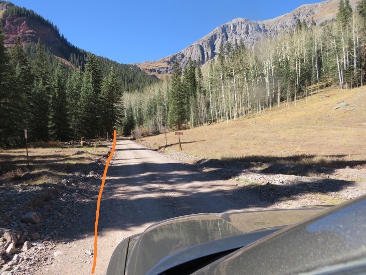
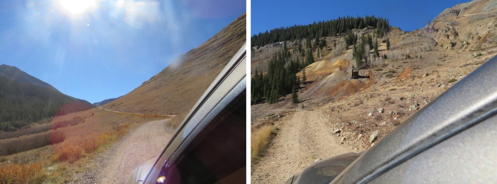
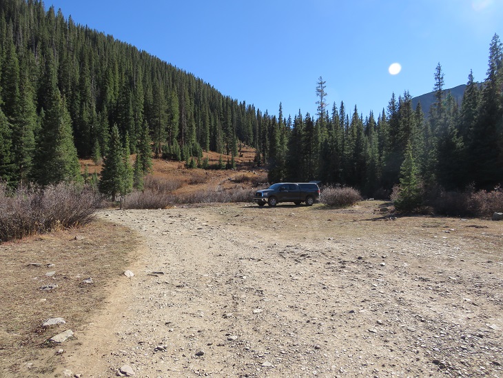
After summiting Pilot Knob I made it back to the Ice Lakes Basin trailhead and took 585 for 2.5 miles down an easy 4WD dirt road, past the Bandora Mine, until it ended at the south end of the basin. Parking at the Ice Lakes Basin Trailhead adds 5 miles total to this hike.
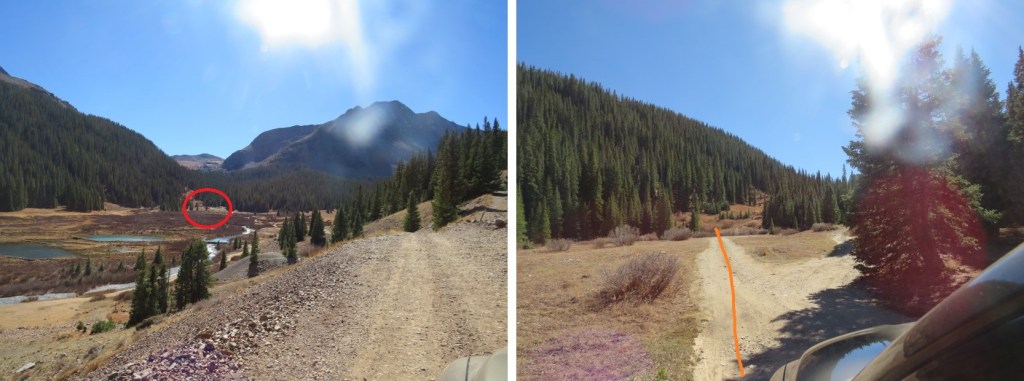
I’ve circled where I parked/dispersed camped for the night. There are quite a few campsites in the area, although I didn’t see another person the entire time I was there.
It was still early, so I made dinner, jotted down some notes, had a few glasses of whiskey, read for a bit, and reviewed my notes from my failed attempt of Rolling Mountain last year.
It was a beautiful evening, so I looked around for a bit to see where the trail started, and then made it an early night.
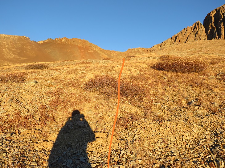
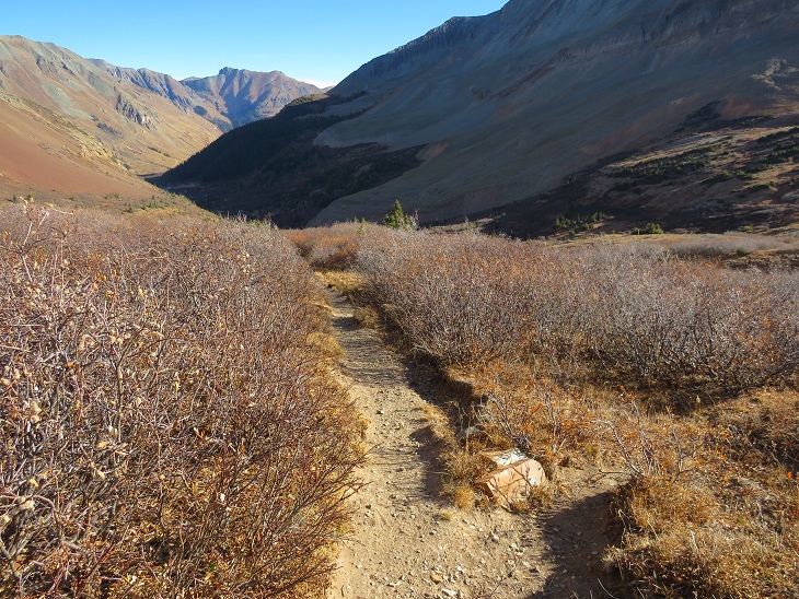
I was up and on the trail at 6am. The trail starts at the south end of the basin, initially crossing a small stream, then following Rico-Silverton Trail 507.

I followed this class 1 trail for 2 miles
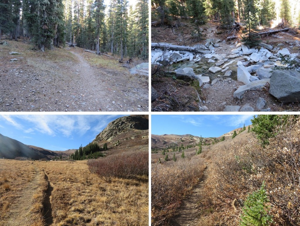
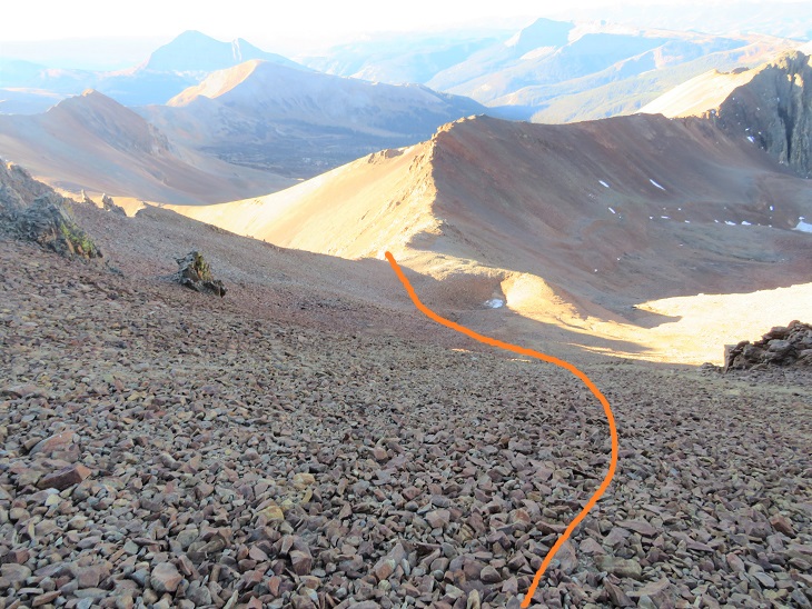
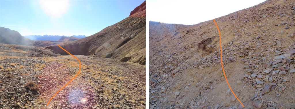
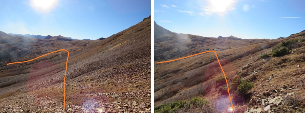
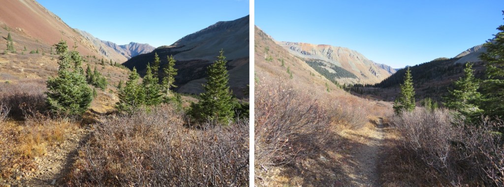
After 2 miles I turned right and headed west up the basin, staying to the left of the small gorge/drainage area. There are a lot of willows to contend with here, but if you stay high you can avoid most of them. If you stay low you can still cross, they’re just annoying.
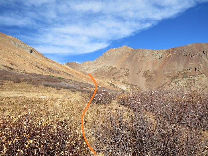
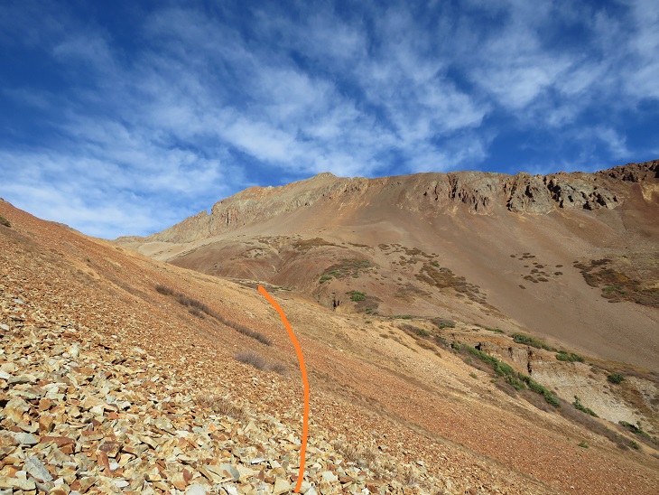
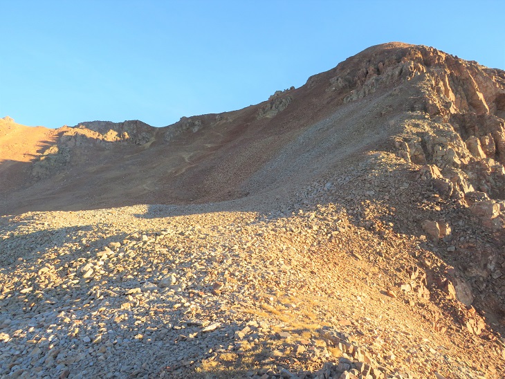
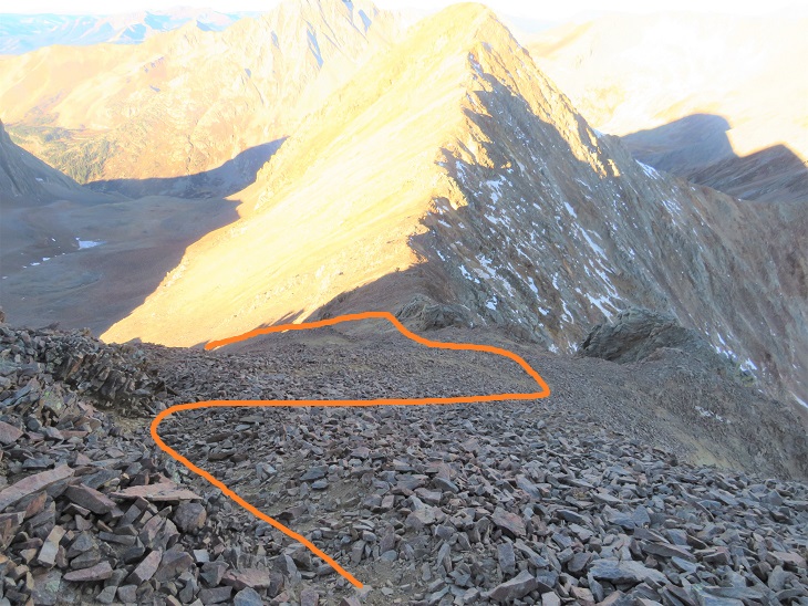
I came to the area that had stumped me last time and was pleasantly surprised to find the depression/bowl wasn’t as deep as it had appeared to be with snow. It was a little steep, but an easy trek across this section and up the gully to the upper basin
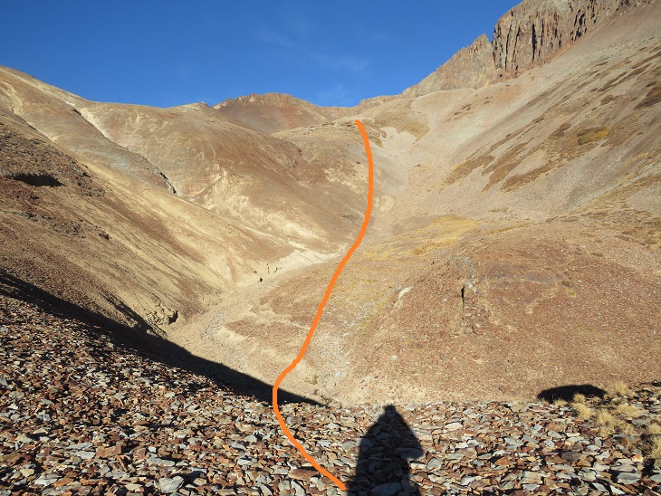
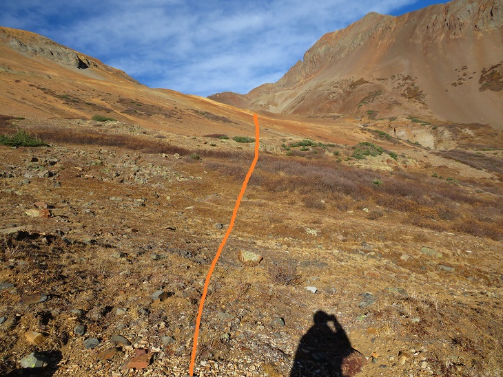
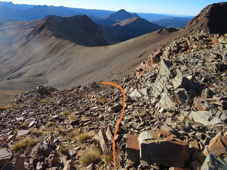
I stayed high here, aiming for the ridge. This was an easy trek on relaxed scree and nicely sloping tundra
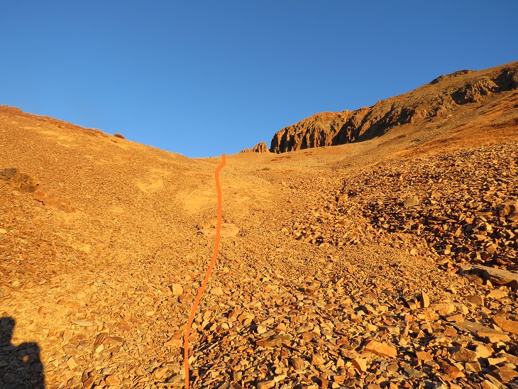
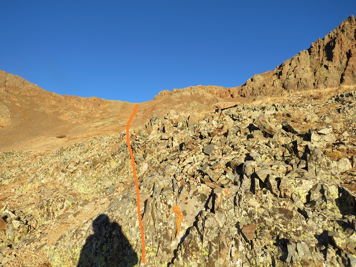
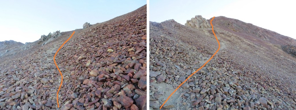
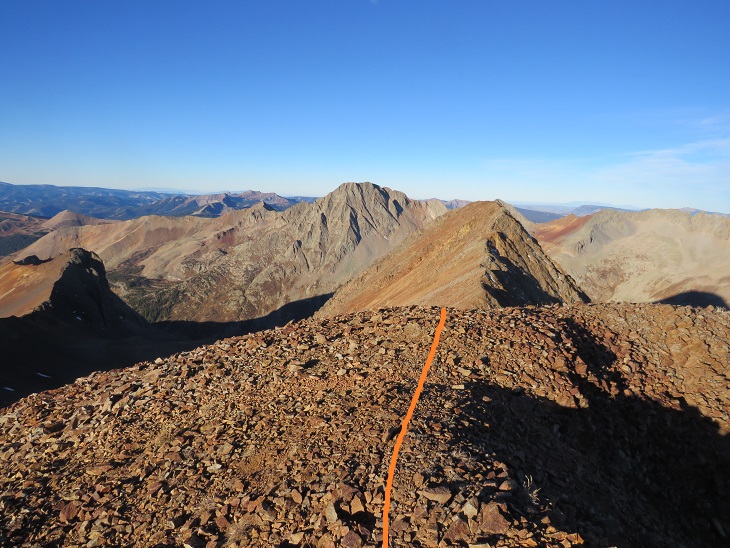
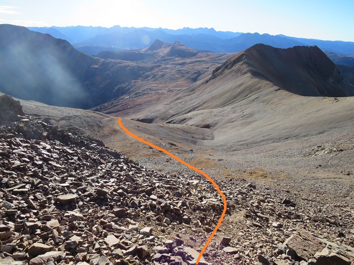
Once on the ridge I turned right and saw an obvious trail that led up to the summit of Rolling Mountain
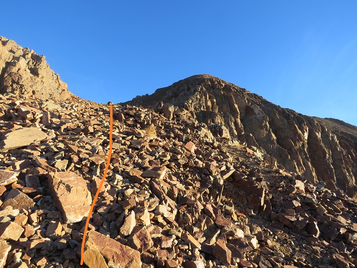

The trail is light but easy to follow. The terrain was a nice class 2 as it followed the ridge to the summit. It would have been much more enjoyable without the wind.
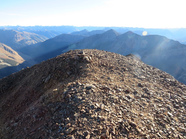
I summited Rolling Mountain at 8:15am
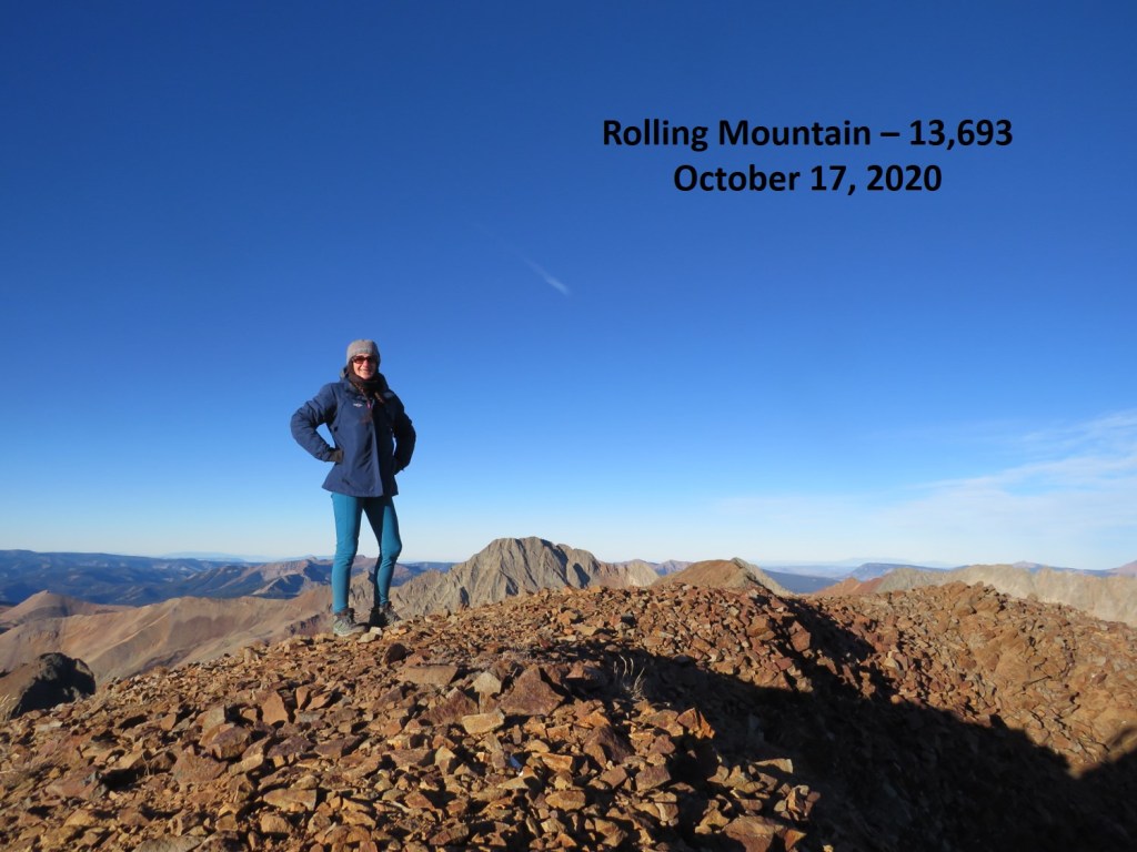
Rolling Mountain:
I had plans to go camping with friends tonight (a 6 hour drive away) so I didn’t waste anytime descending the mountain. Also, it was quite cold and windy. I couldn’t wait to make it back to the ridge and for the wind to settle down. This is an out and back hike, so I retraced my steps
And back down the basin

Up and over the bowl
And east towards the Rico-Silverton trail, staying high to avoid the willows
Once back on the trail I followed it back down the lower basin to the trailhead

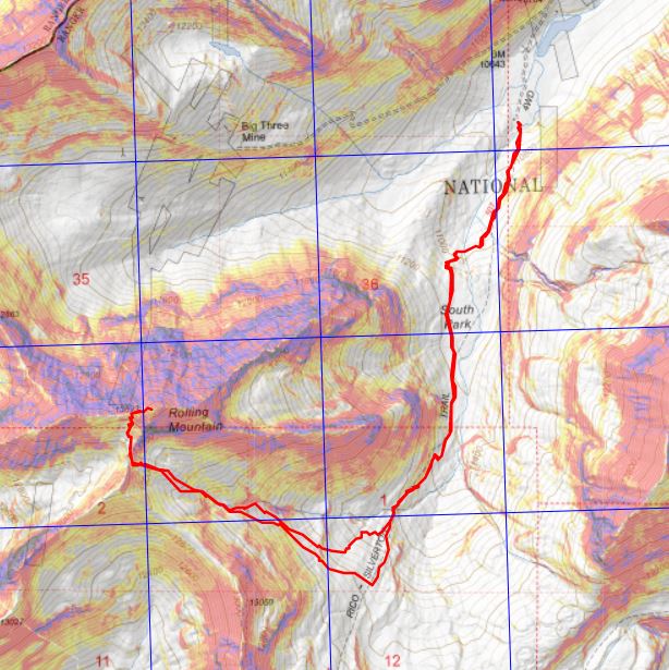
I made it back to my truck at 10am, making this a 7.43 mile hike with 3078’ of elevation gain in 4 hours. The was by far the easiest hike I’ve done in a while, which made my turning around last time sting just a little bit more. Here’s a topo map of the route
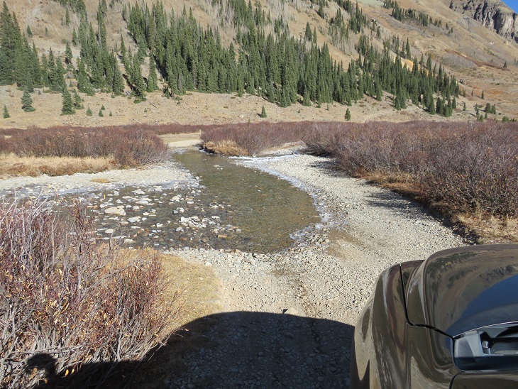
Also, the drive in is easy 4WD (most likely doable in a higher clearance 2WD), but there is a small stream crossing, which is probably deeper in summer. Just something to consider
Time to go camping!
