RT Length: 10.3 miles
Elevation Gain: 4227’
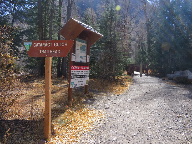
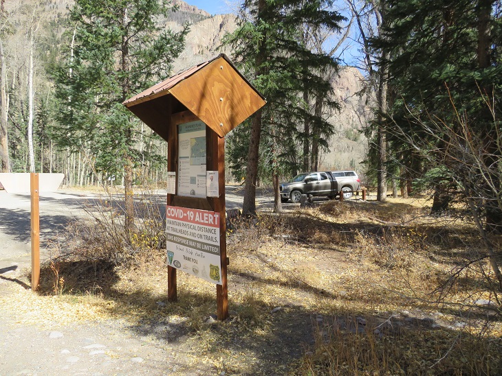
The weather has been outstanding, so I decided to get in one last bicentennial for the year. I woke up at midnight, worked for a bit, and then drove to Cataract Gulch Trailhead. This trailhead has a bathroom (just an FYI). I was on the trail at 6am.
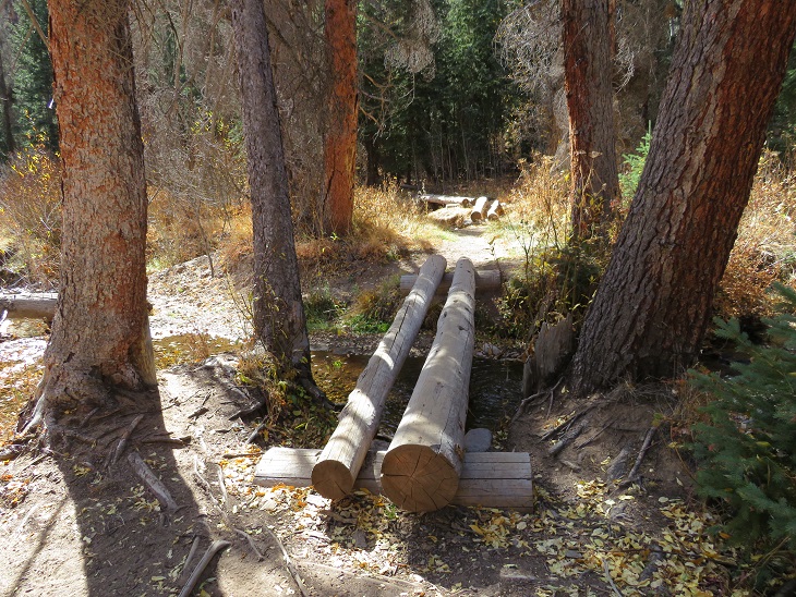
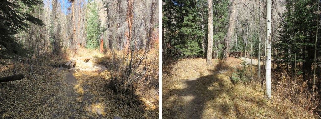
The trail starts at the south end of the parking area, first crossing a bridge, and then a few more smaller bridges (which are new and weren’t here the last time I was in the area) to get across Cottonwood Creek.
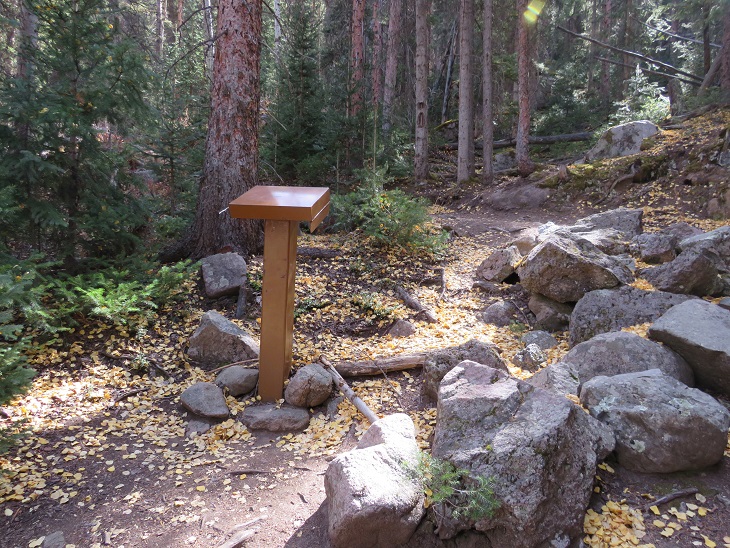
I came to a trail register, signed it, and was on my way
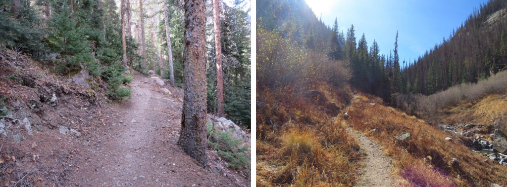
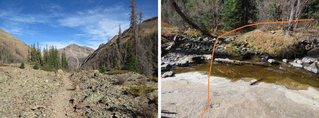
I followed the class 1 Cataract Gulch Trail 475 as it switchbacked south for 3.25 miles
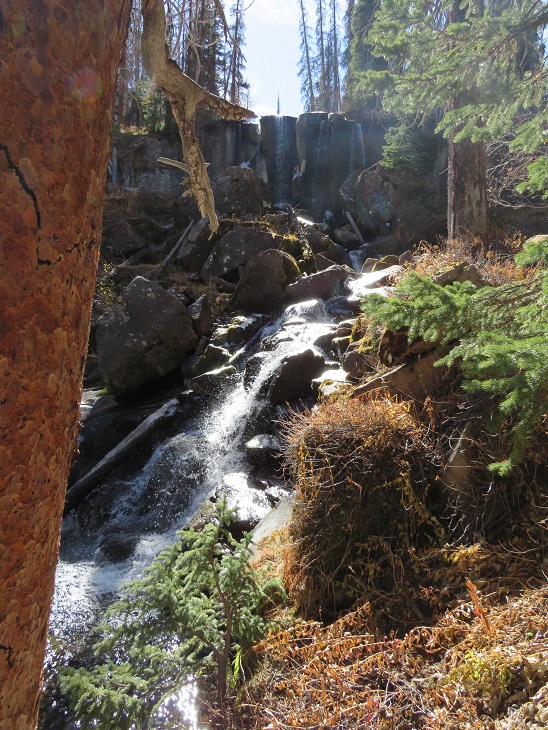
At the top of the waterfall area I crossed the creek a few times (cross the large rock slab first, and then a log)

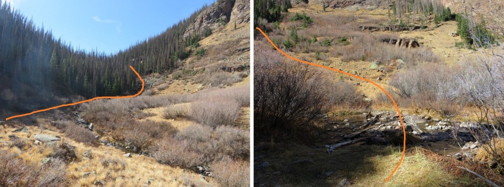
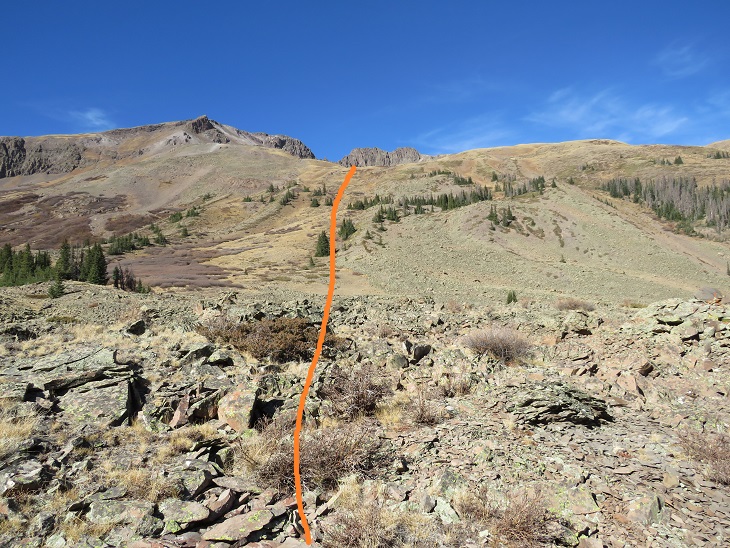
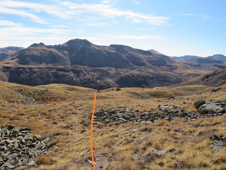
And came to a boulder field

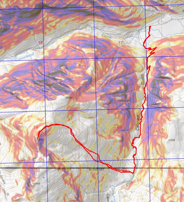
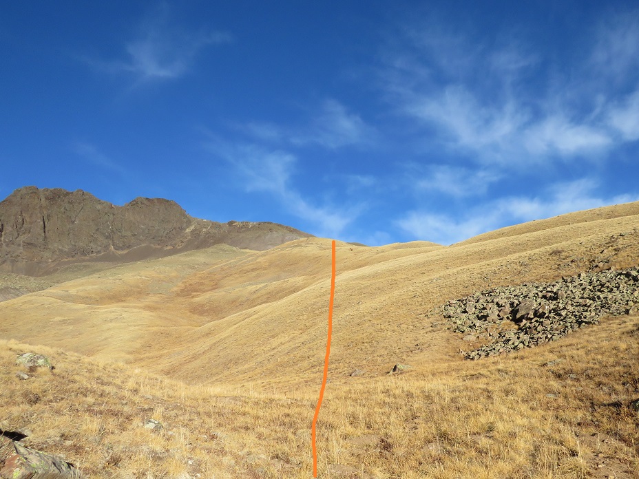
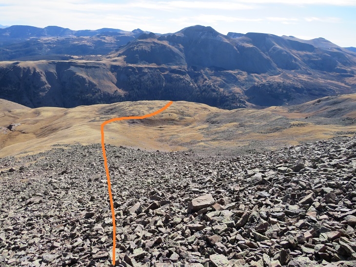
At the top of the boulder field I’d hiked for 3.5 miles. Here I turned right and headed west up the slope. Here’s an overall view of the route. There are many ways to do this, the goal is to gain the upper basin.
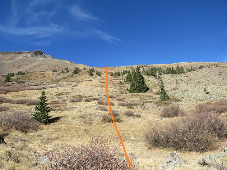
The terrain began rocky
And then changed to tundra
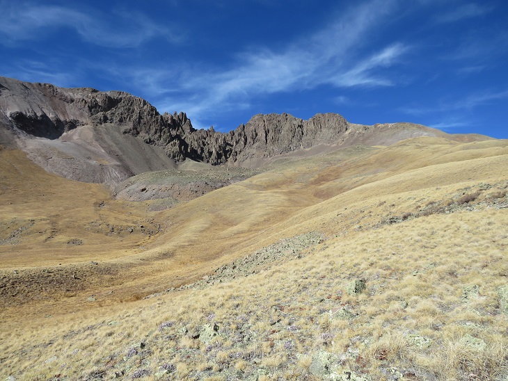
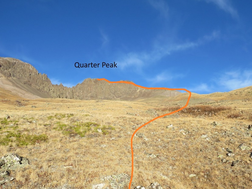
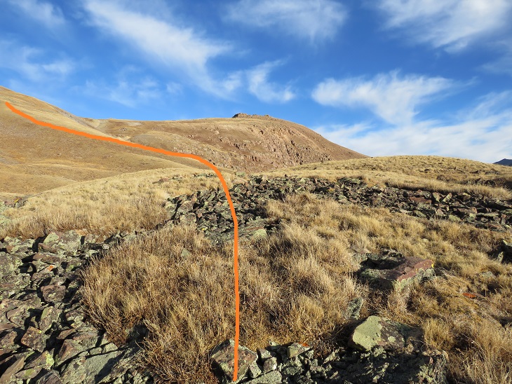
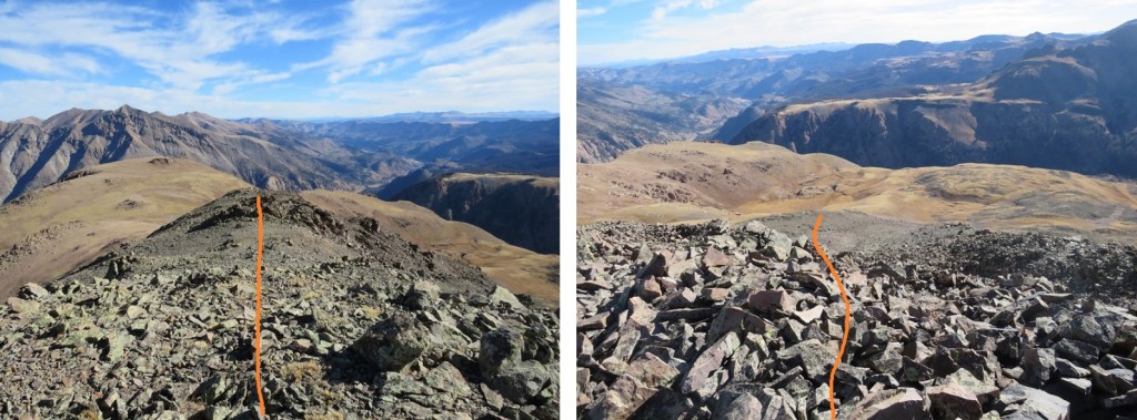
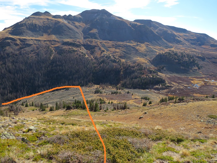
At the top of the hill the tundra started rolling. Here you can see Quarter Peak, and the overall route to get there
I headed northwest and rounded the upper basin
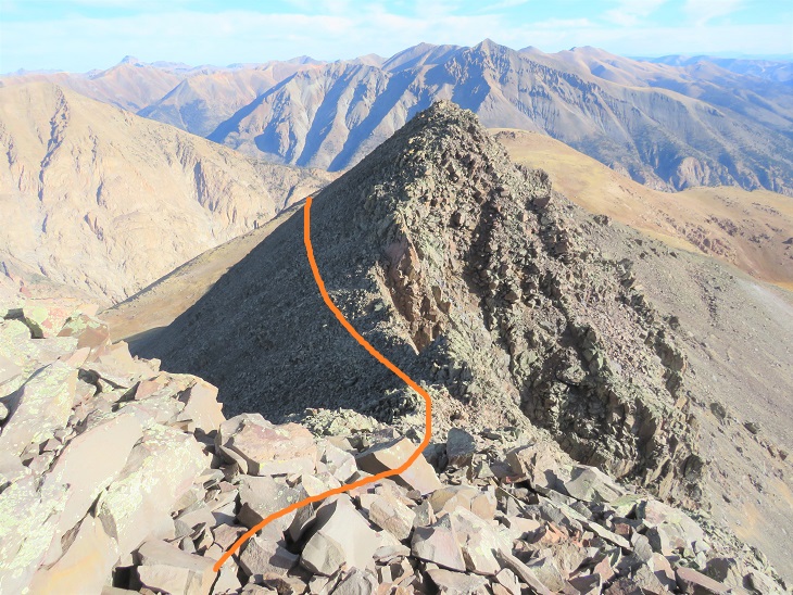
And then turned left and headed up the ridge
This part of the ridge started out as nice, rolling tundra
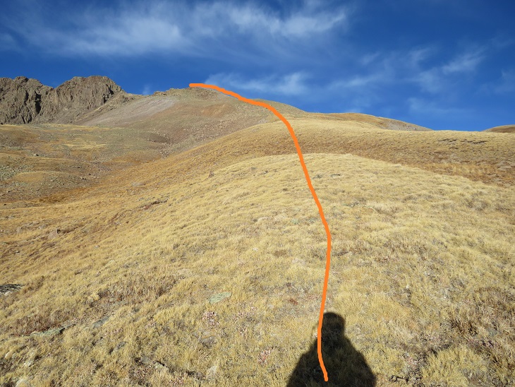
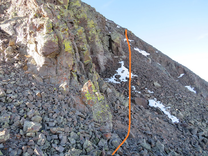
But about halfway up turned to rubbish rock. I’ll say that again: rubbish rock.
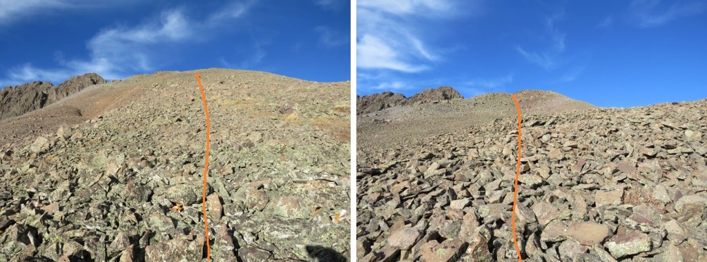
Getting to and staying on the ridge is the best option for this part of the hike. The rock is loose, but at least it can’t fall from above
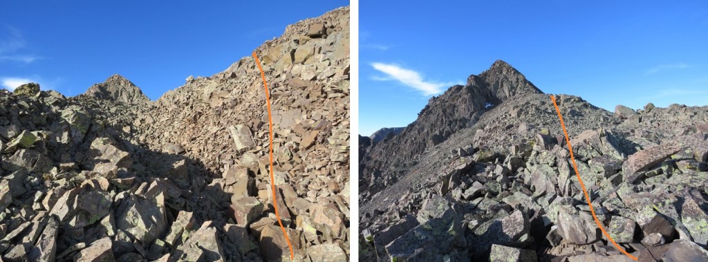
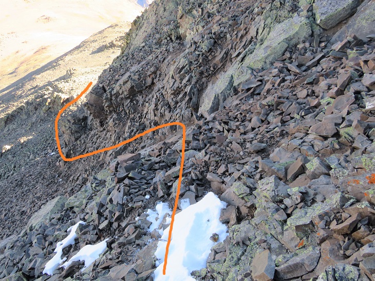
At the top of the ridge I skirted the north side of the mountain for a bit. There’s a gully here, and you’ll want to go straight up it, but don’t (this is a false summit). Instead, ascend about 50 feet up the gully, and then continue skirting the north side of the mountain. This gully is very, very loose, and the terrain changes every time someone ascends/descends.
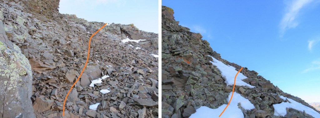
I quickly came to the false summit, and could see the short path to the true summit. This was class 2

I summited Quarter Peak at 9:30am (unfortunately, I’d lost my sunglasses last weekend camping and didn’t realize this until I was leaving my truck this morning, so I was squinting all day)
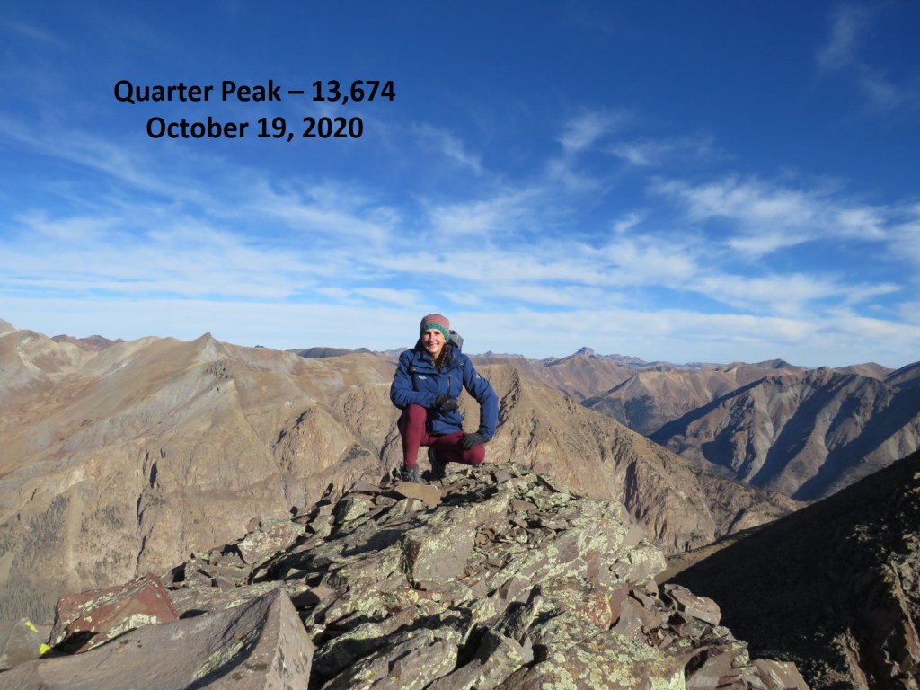
Quarter Peak:
This is an out and back trail, so I headed back the way I’d hiked in. Route finding was much easier this time as I initially stayed low before the gully
When I got to the gully it was just as bad going down as it had been going up. Very, very loose.
Then on to the rubbish rock, heading east/southeast down the ridge. This was slow going, as I didn’t want to roll an ankle
The rock changed to tundra and I turned right and followed the basin east back down to Cataract Gulch trail
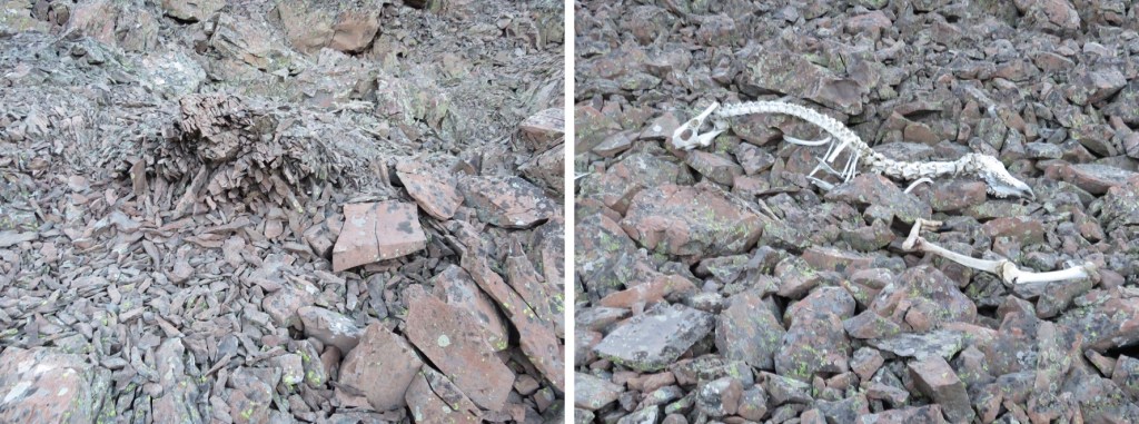
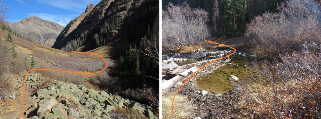
Here are some highlights from the trail down
I signed out of the trail register (I’d been the only one to sign it in the past week) and was almost back to the trailhead when I heard a loud rusting. I stopped and turned to my right. No more than 10 feet away from me was the biggest bull moose I’ve ever seen! He was just as startled as I’d been and quickly ran to the cover of denser trees. I gave him plenty of room, and he kept his back to me, so this was the best picture of him I was able to get.
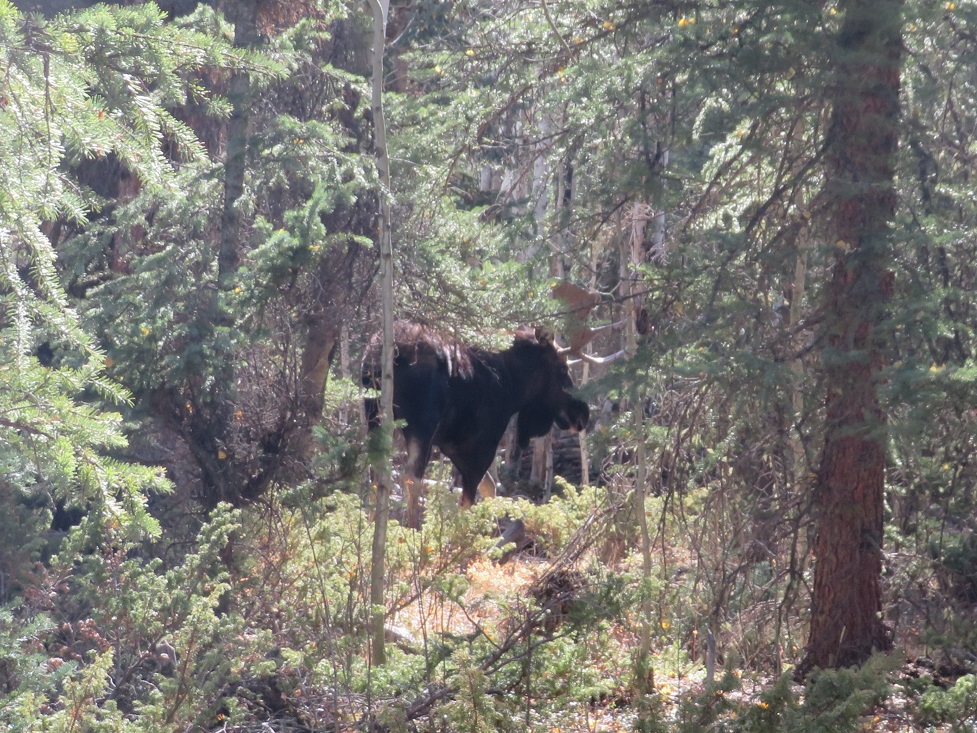
I didn’t stay there long, as he obviously wasn’t in the mood for company. I crossed the creek and made it back to the trailhead
I made it back to my truck at 12pm, making this a 10.3 mile hike with 4227’ of elevation gain in 6 hours.