South Platte River à Little Scraggy à South Platte River
November 21, 2020
RT Length: 22.15miles
Elevation Gain: 3069’
High Point: 7762’ Low Point: 6099’
Time: 8 hours
Partner: SkydiverHiker
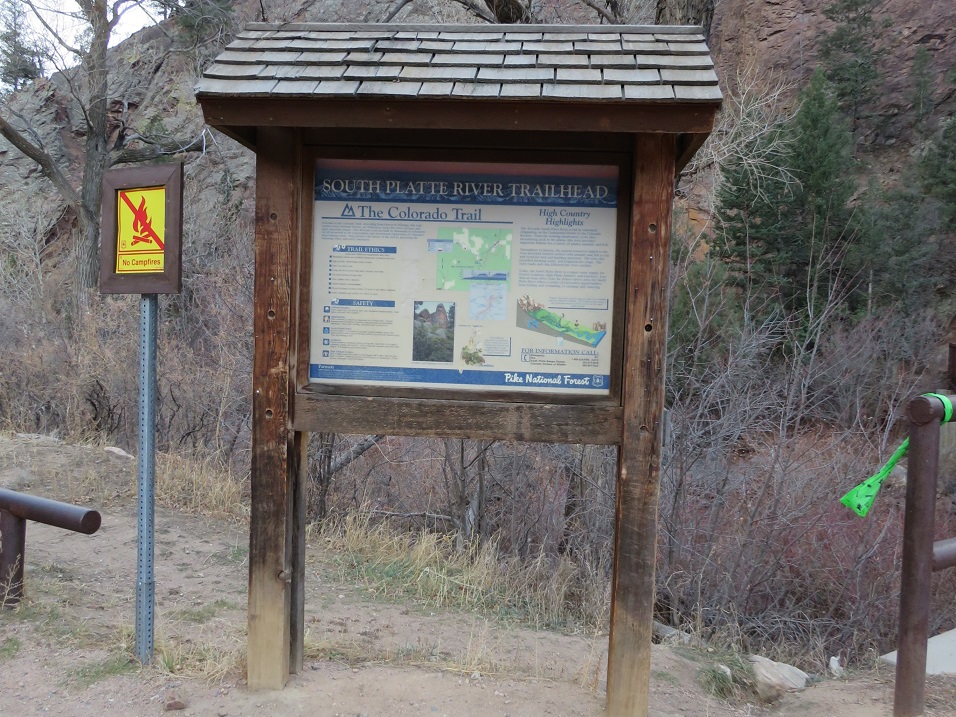
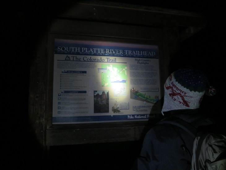
I had so much fun last week hiking Segment 1 I decided to hike Segment 2 this week! Actually, the weather was nice below treeline and yes, now I’ve caught the Colorado Trail bug, so this was an easy hike to choose for today. We arrived at the South Platte River Trailhead just before sunrise, and were on the trail at 6am, bundled in our warm weather gear.
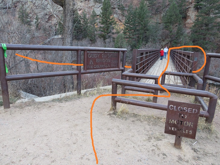
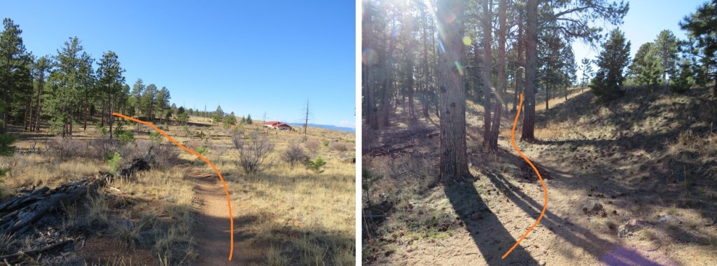
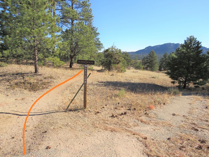
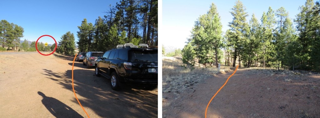
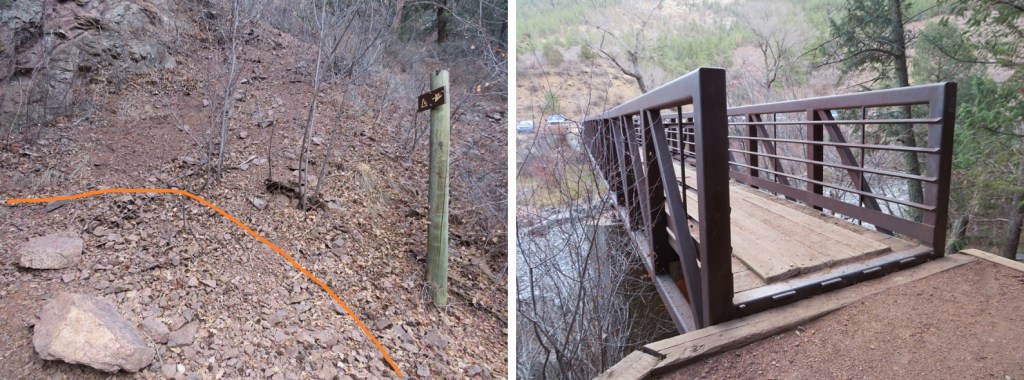
The trail starts at the east end of the parking area, and then circles under the bridge before heading southeast.
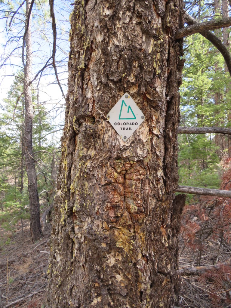
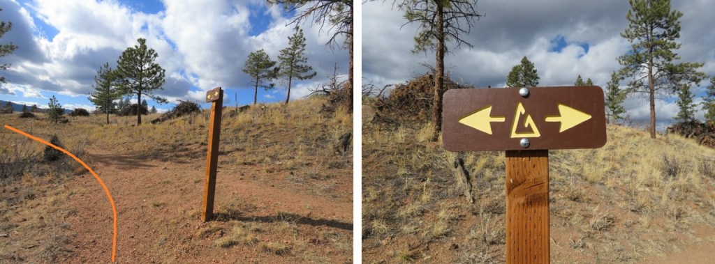
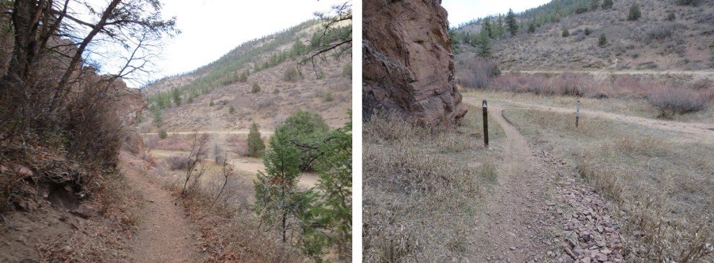
The trail is well marked and easy to follow

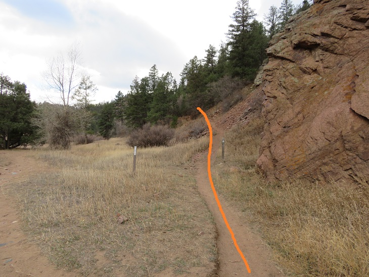
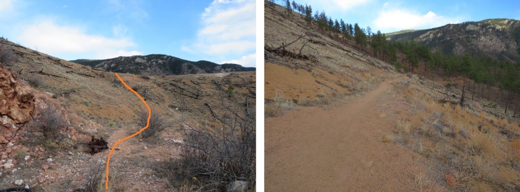
Shortly after crossing the bridge the trail starts switchbacking up the west side of the mountain.
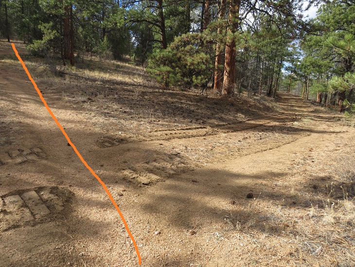
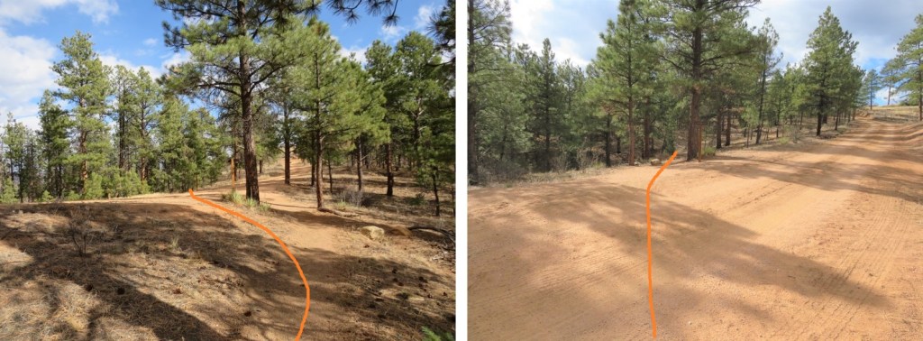
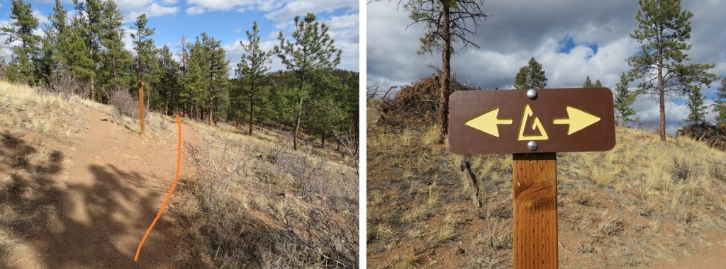
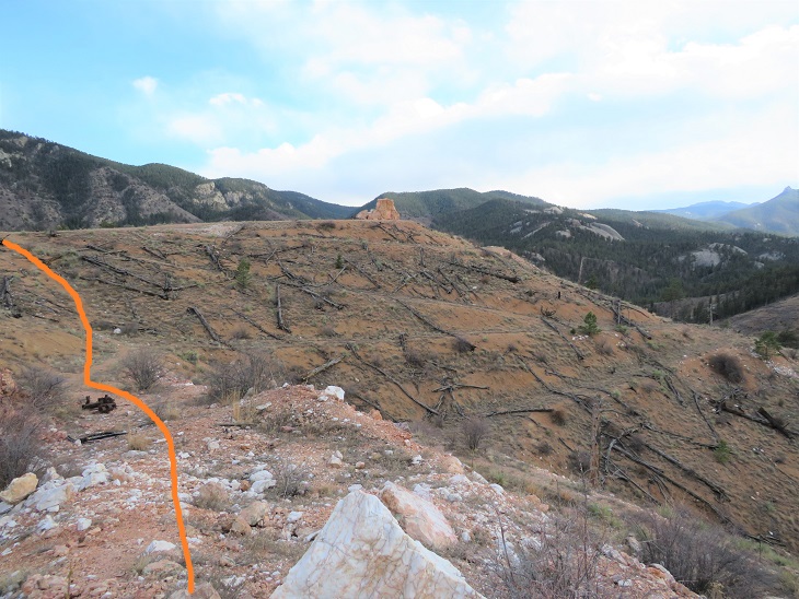
We hiked past an area we assumed was the abandoned Quartz Quarry (it wasn’t). Also, here I realized SkydiverHiker had thought we were going to a crystal quartz quarry (nope, a rock quarry). We met a hunter here wearing a bright yellow vest. He told us to be on the lookout: there were hunters up further along the trail, and let us know we’d missed the junction and were headed the wrong way. We thanked him, turned around, and wondered what they were hunting this time of year?
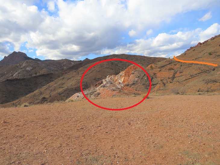
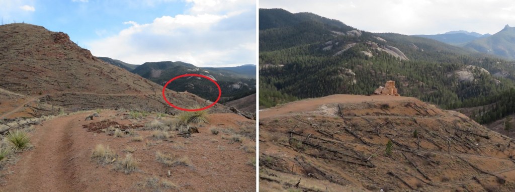
Unbeknownst to us, we passed the quarry in the dark (orange route, quarry circled in red. More on this on the way back, as we stopped here for a while. The quartz quarry is located 1.3 miles from the trailhead.
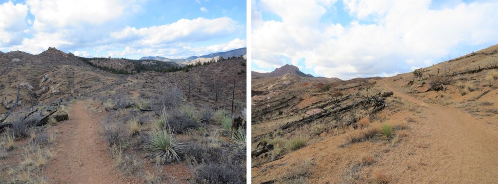
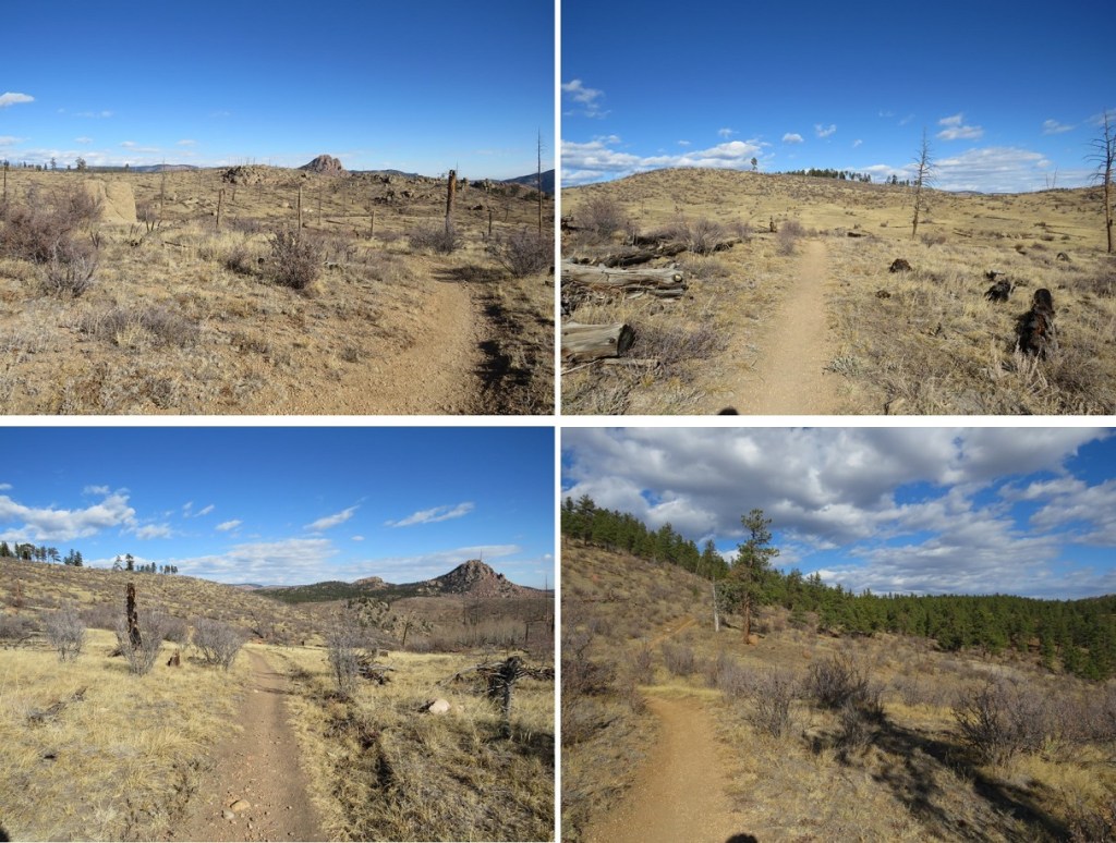
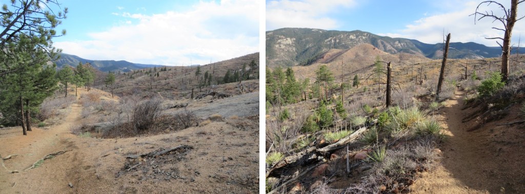
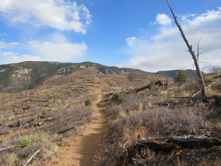
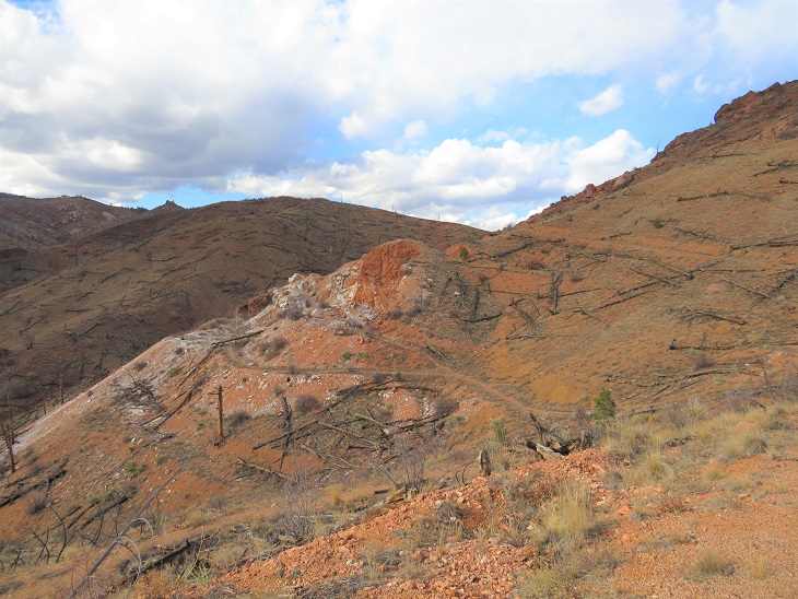
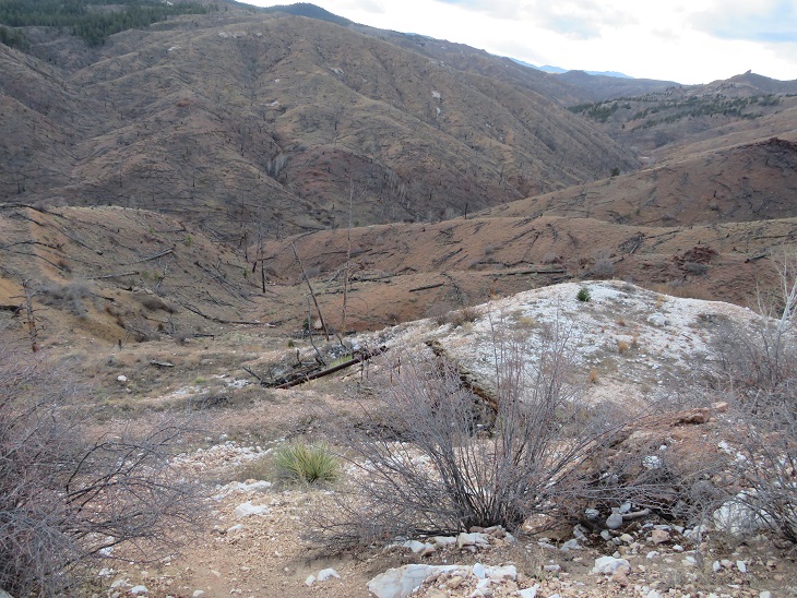
As dawn approached we came to a large burn area. This burn lasted over half of the hike. I hear this area is quite pretty in the spring and early summer, but today it looked desolate.
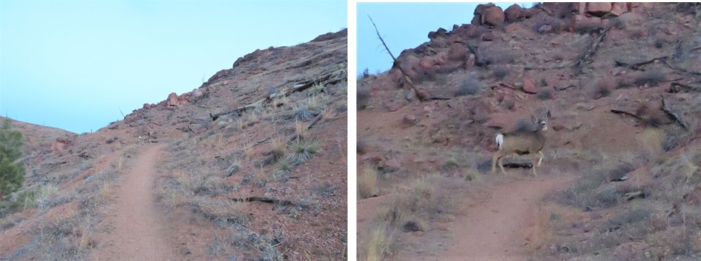
We started seeing tons of deer, and wondered if it were deer hunting season? We saw three sets, totaling of about 10-12 deer, but never heard a gunshot. Neither did we ever see the hunters (and they should have been visible due to the lack of foliage). The deer were no more than 10 yards away from us, and would have been easy to shoot if we’d been prepared.
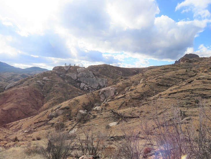
As we hiked, I noted how different the mountains look with the trees gone. There were large, exposed boulders and drainages which would otherwise have been disguised by trees. It’s amazing how little has come back since the 1996 Buffalo Creek Fire.
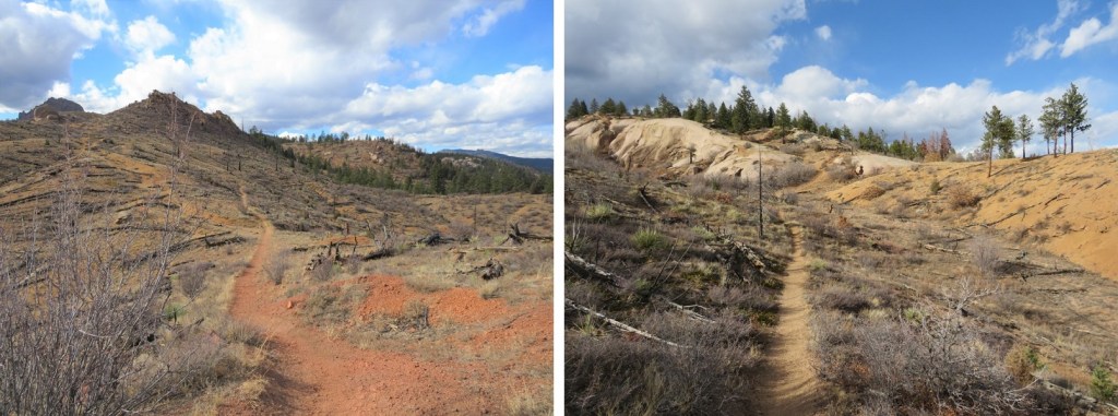
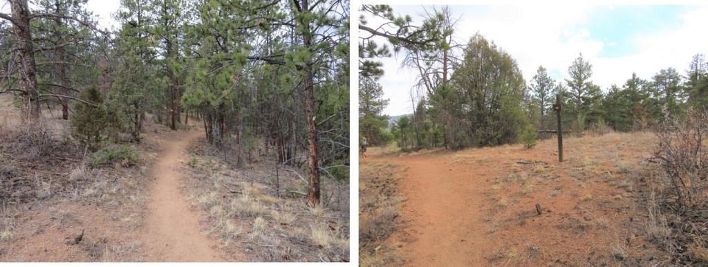
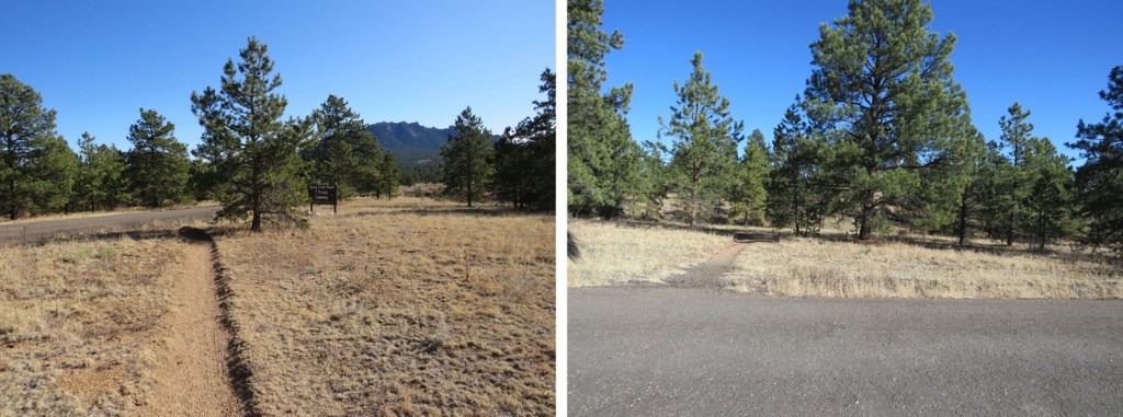
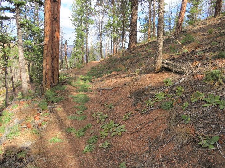
We continued following the well-defined trail west
After hiking for 2 miles we were back in the trees. Side note: there were far fewer trail markers on this segment of the trail than on segment 1. I realize there’s been a fire and not many trees to post markers on, but in the treed area there were far fewer markers as well. And many of them diamond shape (instead of the triangle I’ve been so used to).
Shortly after making it back to the trees we crossed 4WD road 539, which looked like a forest service road.
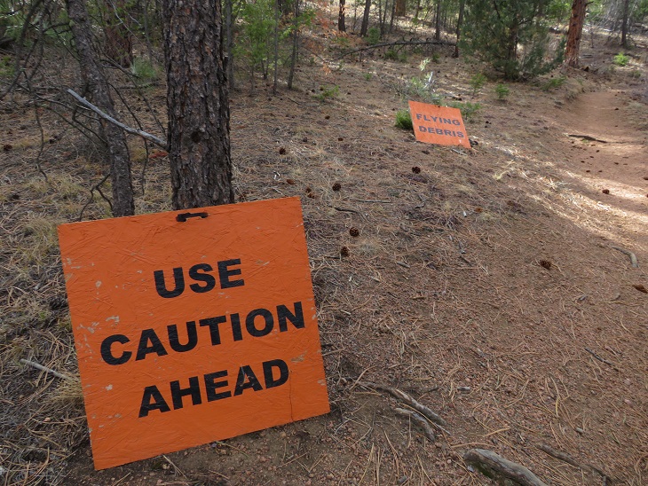
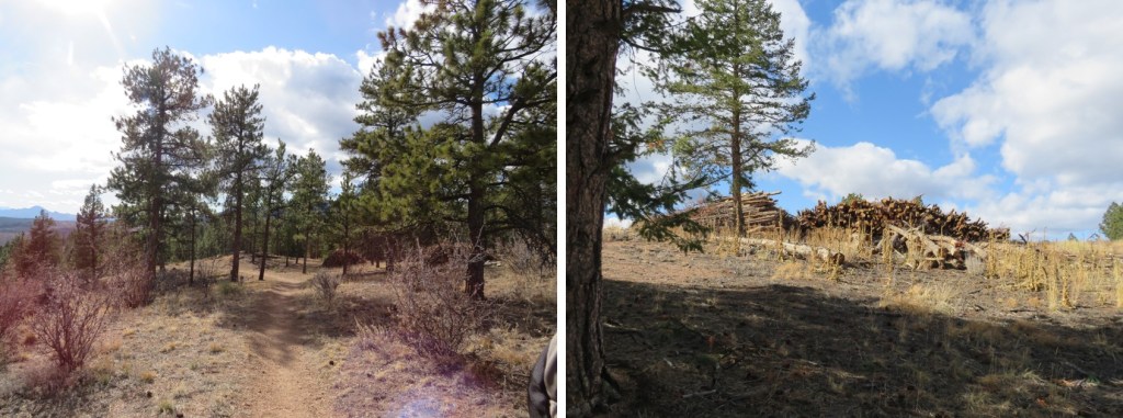
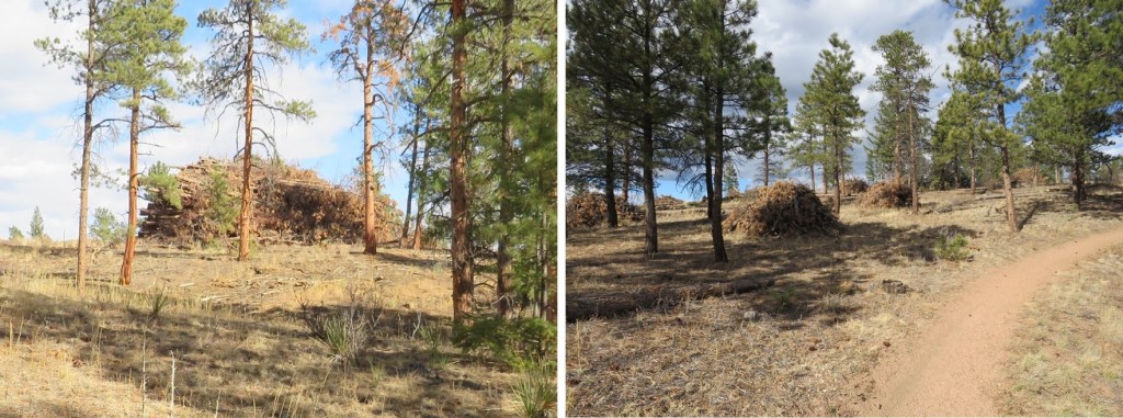
This would make sense, because next we came upon an area that’s experiencing logging operations. I’m assuming the area’s being mitigated due to the fire. Still, the signs were pretty cool. Since it was a Saturday, I figured the forest service had the day off and we wouldn’t be experiencing any ‘flying debris’ today.
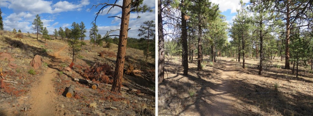
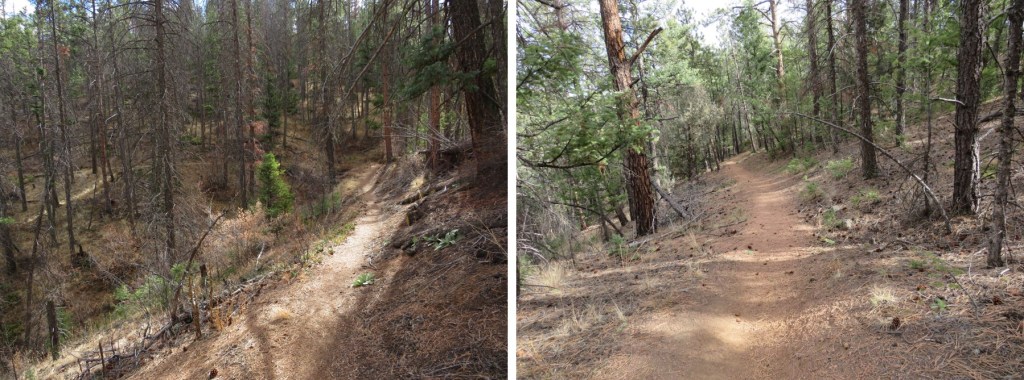
The trail continued through the trees, and past a really neat rock outcropping/camping area


After hiking for 6.25 miles we crossed another 4WD road (this one said it led to Raleigh Peak, and was a more well-defined road)
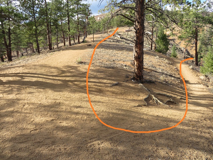
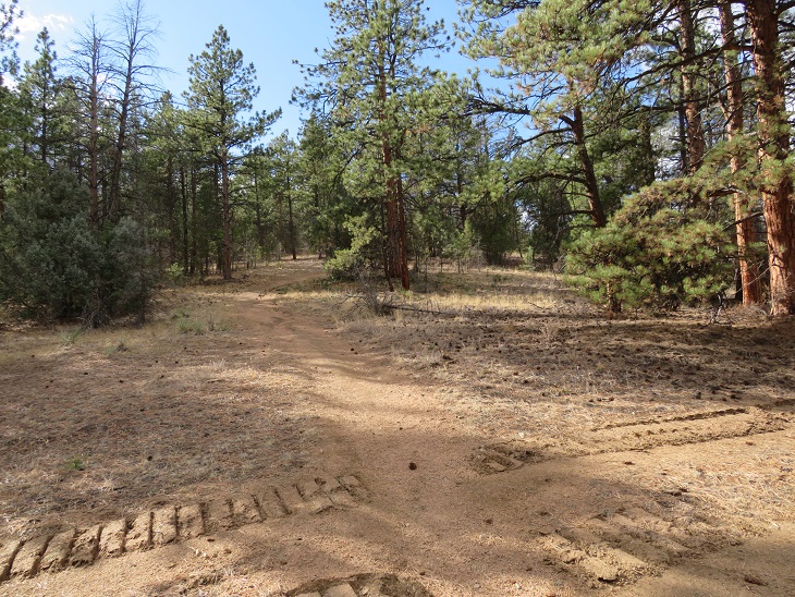
As we topped out at the highest elevation for this hike we came to a slight junction, keeping straight (west)
Then we came upon more tree mitigation. This was intense mitigation! There were dozens of piles, each no less than 20 feet high and 50 feet across, all of dead trees. It seems what the fire hadn’t decimated the forest service was now trying to cull in order to prevent another fire.
We soon exited the trees, and were in for another 3.5 miles of hiking through the Buffalo Creek Fire area. Here we encountered crows and ravens that seemed quite interested in us. They’d sit in a tree and watch us until we got close, then they’d fly off to a tree further in the distance and watch us as we hiked, flying off again when we got too close.

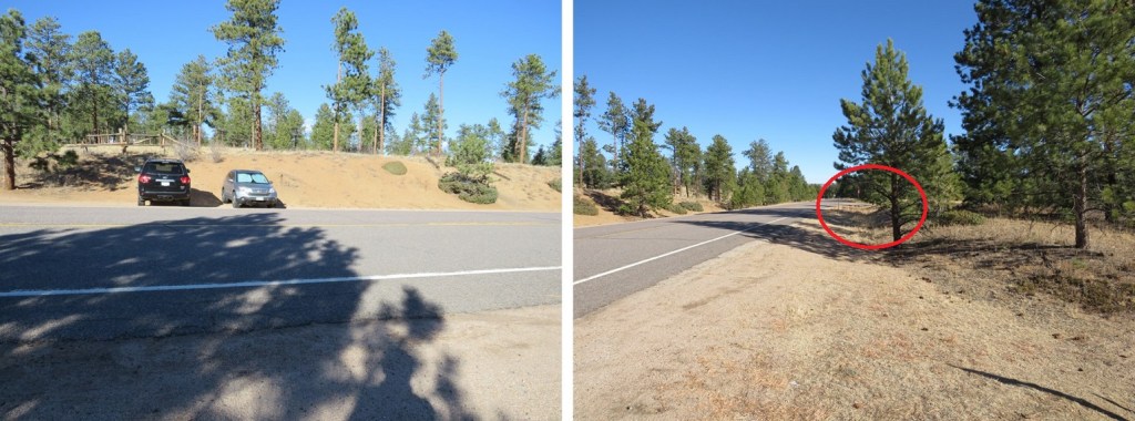
The final stretch of this segment took place again under the trees. At this point we could hear the road in the distance (126). Also, if you need emergency water, the fire station is circled in red. The only water we encountered on this trail was at the South Platte River Trailhead. After that, there was no water.
There is fencing all along the left side (east) of this trail, with many signs saying ‘no trespassing’. It seems they mean that here. The trail takes you to a road
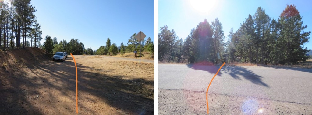
There seems to be a trailhead at this road. Indeed, you can park here. However, the segment was not yet over. We passed a few parked vehicles and continued along the Colorado Trail
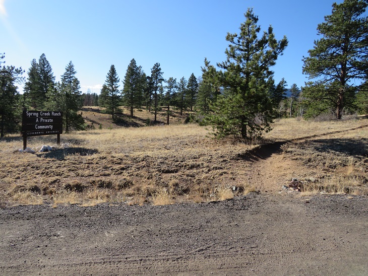
We passed a private community (Spring Creek Ranch)
Before making it to what we thought was the trailhead (our gpx file ended here). It looks like there’s a few spaces to park here, and the trail picks up on the other side of the road.

There is parking here as well, and you can also see the other parking area along the road (circled in red). This is where you want to park in winter, as the ‘true’ Little Scraggy Trailhead is located beyond the locked gate, about a mile away. This is where I parked when I started Segment 3.
In any event, this is where I’ll park when I start segment 3, just so I can claim I’ve hiked the entire trail.
It was here I took off some outer layers, and tried to put my phone in my pants pocket, only to find I’d worn my pants inside-out this entire hike1 I looked both ways, sat down, and fixed the problem (much to SkydiverHiker’s embarrassment).
SkydiverHiker and I took a picture at this point of the trail. We made it here at 10am, after 10.79 miles of hiking (roughly 4 hours).

We didn’t stay long, because we were only halfway done with our hike. If parking here, this is the way we took back to South Platte River Trailhead, first starting with the entry point off road 126
This led us back past Spring Creek Ranch. Here we wet a man on horseback, riding a very fine looking paint. This might be a horse community.
Then back past the first parking area we’d encountered
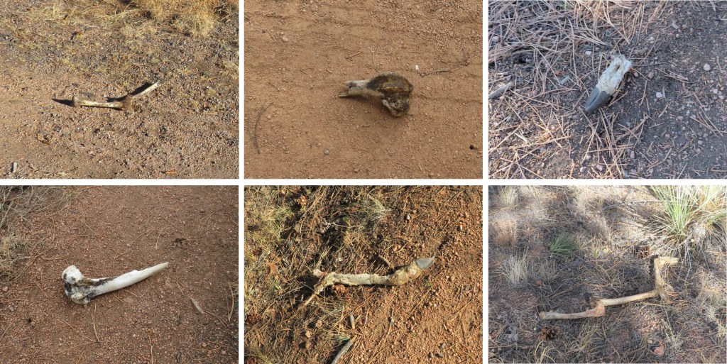
I’m going to note this here just because it’s one of the many places we saw bones while on this hike. There were several bone fragments of animals we found along the trail (some of the bones were not there on the way in, but were there on our way out). They seemed to be from multiple animals, but all deer and elk.
OK, back to the trail description. We passed the parked cars and continued on the trail. Note the sign for the fire station ahead, should you need assistance/water.
Then it was back into fire territory

Here’s an overview of the hike back to the trees

There were some especially pretty mountain mahogany plants along the way, their feathered seeds backlit by the sunlight.

Once back in the trees we passed the burn piles, or piles of trees. I’m not sure what they intend to do with these large piles, but it seems a waste to leave them there/burn them.
More evidence of ‘flying debris’/ tree trimming (this area is different than the one pictured on the way in)
At the highpoint, once again stay east (right this time) to stay on the Colorado Trail 177
Crossing the well-maintained dirt road

I came to an area where the trail was littered with clumps of pine needles. Looks like the squirrels have been busy!
We continued following the trail. Suddenly, I started seeing snow. Or were those spots? I get a bit scared when this happens (when I see spots it means my blood pressure is low). It was sunny out, so I wasn’t sure how I could be seeing snow. I mentioned this to SkydiverHiker and we stopped for a bit. I had indeed seen snow, as it was lightly falling all around us (despite the lack of clouds and abundance of sun). It didn’t last long though, and the flakes were few and far between.
There are a lot of campsites all along this route.

We crossed the service road again (this road doesn’t look like it gets much use)
And followed the trail through scrub oak and mountain mahogany.

Along the way we got in a good view of the route down (or up) from section 1 at South Platte River.

And now back to the burn area. Here is where we started seeing people. We passed a few groups of people here, and a couple of really cute puppies! It was also very windy and cold these last few miles.
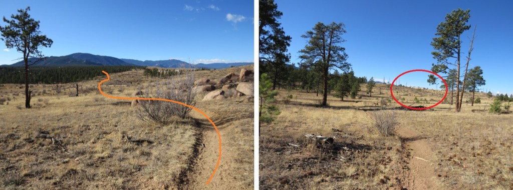
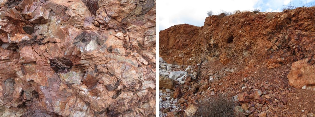
On the way back we had a clear view of what was actually the quartz quarry. There are rocks in this entire area.
We first went to what looked to be an old parking area (or maybe there was a structure here, but there was no foundation to suggest so). It kind of looked like it had caved in. There were old vehicles and pieces of equipment here.

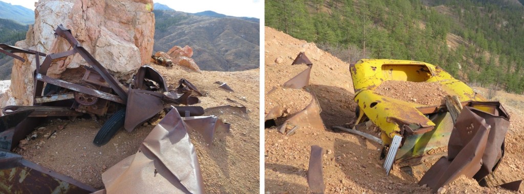
To the west was the actual quarry. We hiked over to inspect, and it was a little underwhelming.

Basically, just a hole in the ground with rocks. No rails or carts or wires, cables, etc. Just rocks.
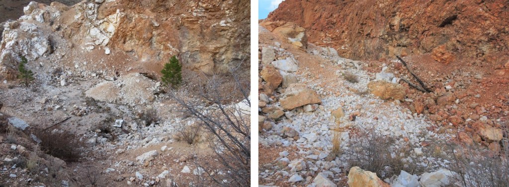
But they were cool rocks! I was surprised at how white the quartz rocks were.
Here’s how we exited the quarry and made it back to the trail. This was a quick and fun side attraction.
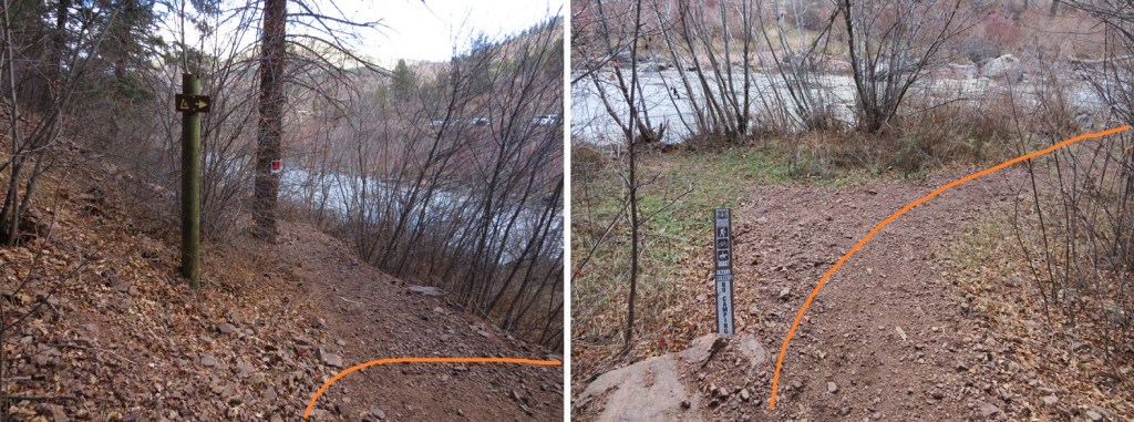
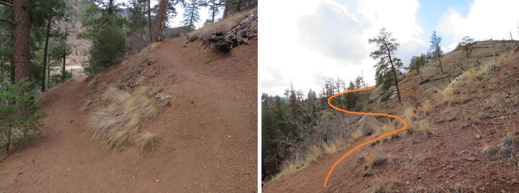
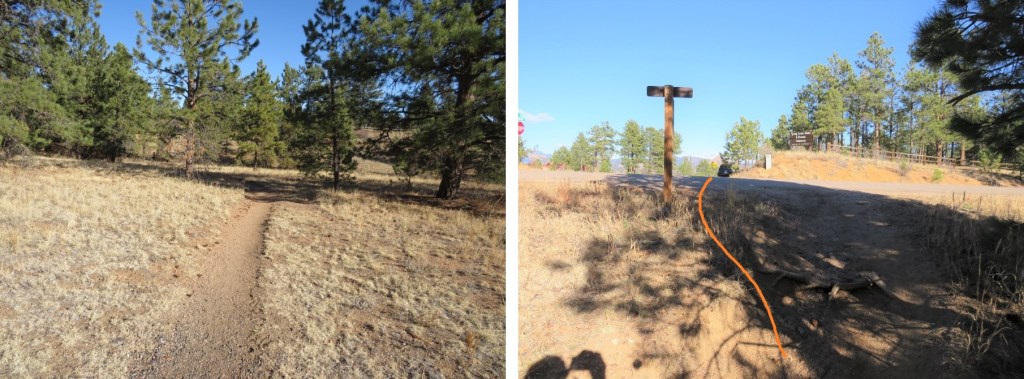
SkydiverHiker fixing the trail. We accidentally hiked the wrong way here for a bit because the junction isn’t obvious (especially in the dark). There isn’t a sign here, but I think going to the south takes you to Eagle Rock.

Then it was switchbacks down to the river. We took this part slow, as we may have had extra baggage at this point.

Back down at the river there were no camping signs. This is a bummer, since I’m sure a lot of hikers want to hike here after filtering water. No worries though, if you’re headed NOBO there are great camping spots just after the trail starts to section 1.
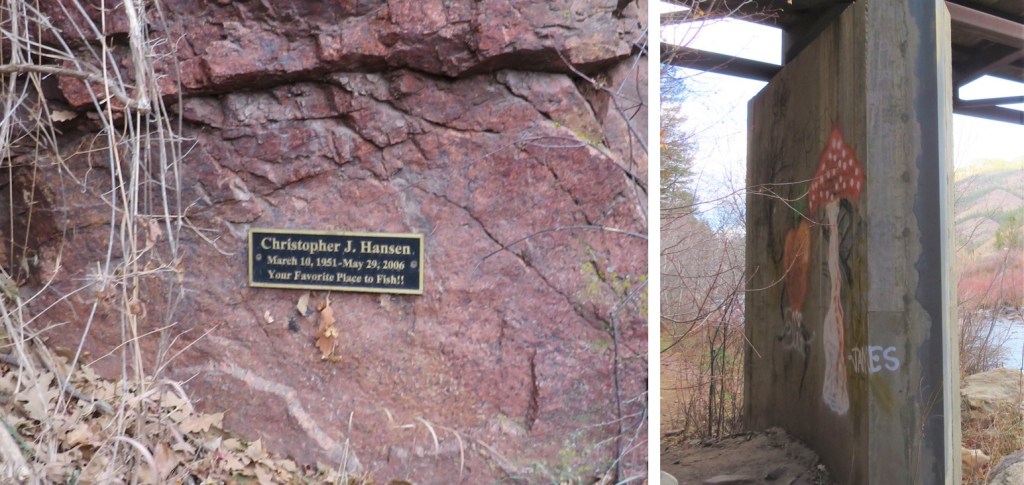
We also saw a memorial sign on the bridge (a dead fish in the water), and some graffiti.
I hiked under the bridge, circled around and took the bridge back to the parking lot. SkydiverHiker took a shortcut, but to be fair, his pack weighed about 100lbs.
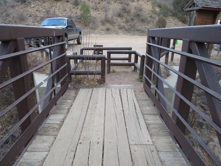
Here’s a view of the South Platte River from the bridge
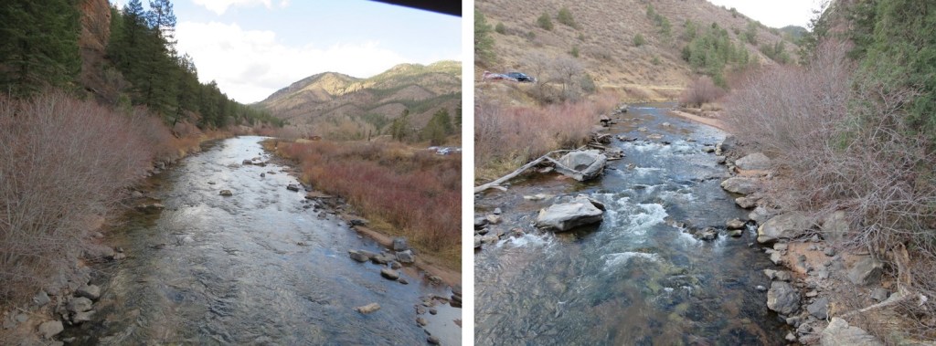
They’re really serious about no motorized vehicles (etc.) on the bridge. I’m not sure you could get a horse through this either. In any event, I’m glad they’re keeping motorized vehicles off the trails.
We made it back to the trailhead at 2pm, making this a 22.15 mile hike with 3069’ of elevation gain in 8 hours. (Side note: feel free to contact me if you’d like a copy of the GPX file for this route).
Final thoughts: this was a long hike to hike with someone. I usually hike alone, and have no problem filling that time with the thoughts in my head. It’s different when you have a partner. You need to work out things like pacing (I was actually slower today, but I blame that on the hike I did the day before), when to take breaks (I never do, but I realize that’s unusual. I don’t see them as necessary), and conversation becomes difficult (I learned to turn my head around and speak directly to him when I had something to say, otherwise I’d get a “what?” and need to repeat myself).

One thought on “Colorado Trail – Segment 2”