RT Length: 5.67 miles
Elevation Gain: 2565’
Today I just needed a quick hike to clear my head.
I’ve hiked Blodgett Peak before from the Air Force Academy, but since I no longer have a base pass, I thought it would be fun to hike Blodgett Peak from the Woodmen Side.
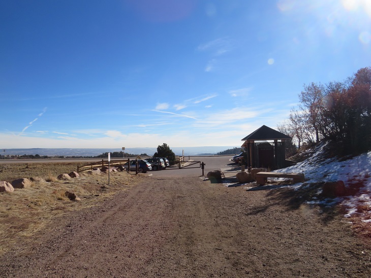
I made it to the small trailhead at 6:45am. There’s enough room for about 10 vehicles, and there’s a porta potty in the lot. I gathered my gear and was on the trail at 7am.
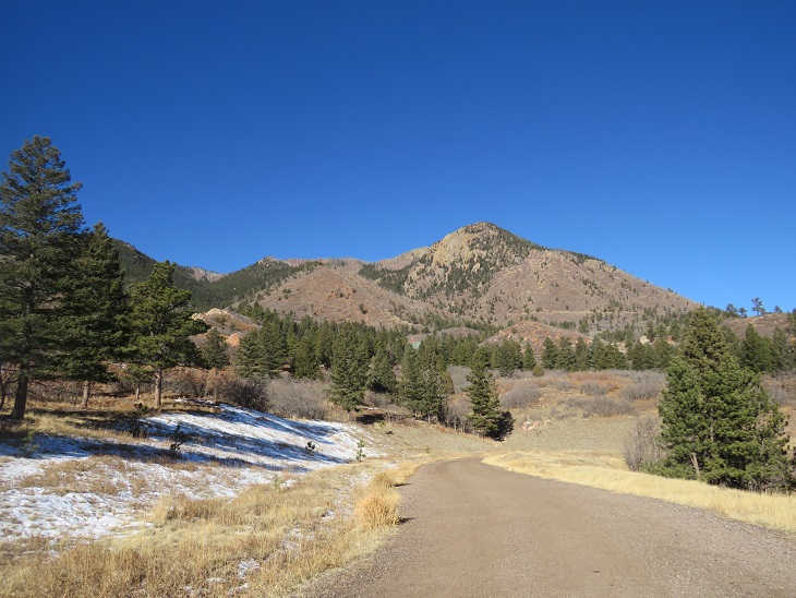
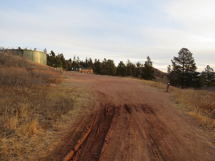
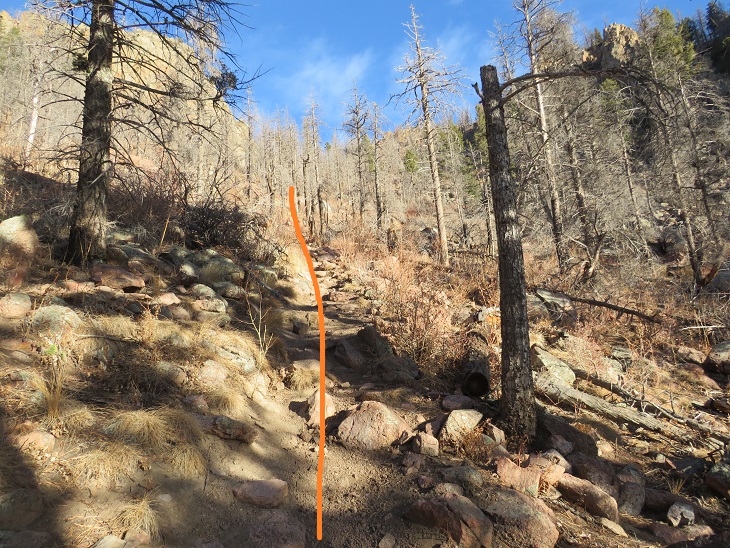
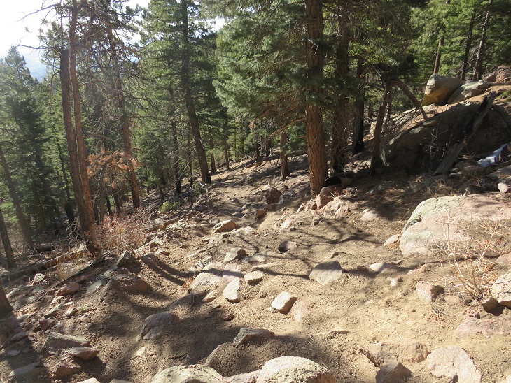
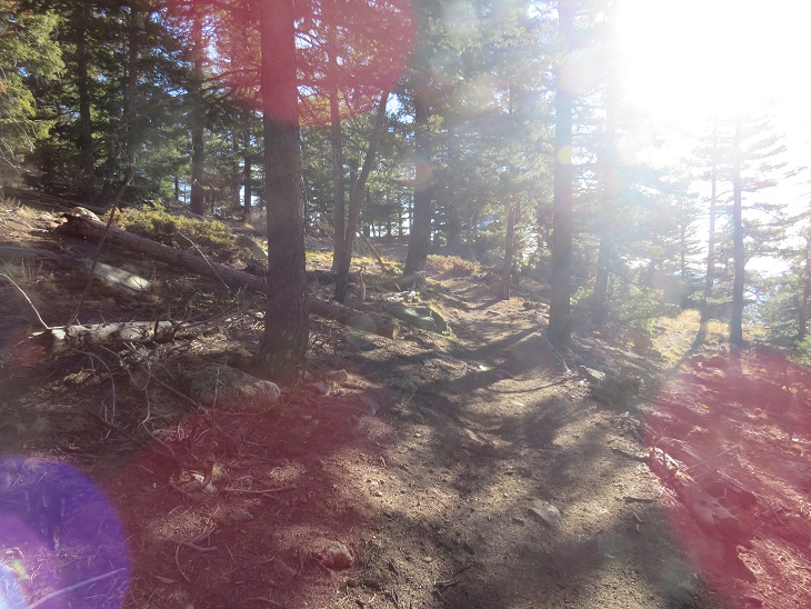
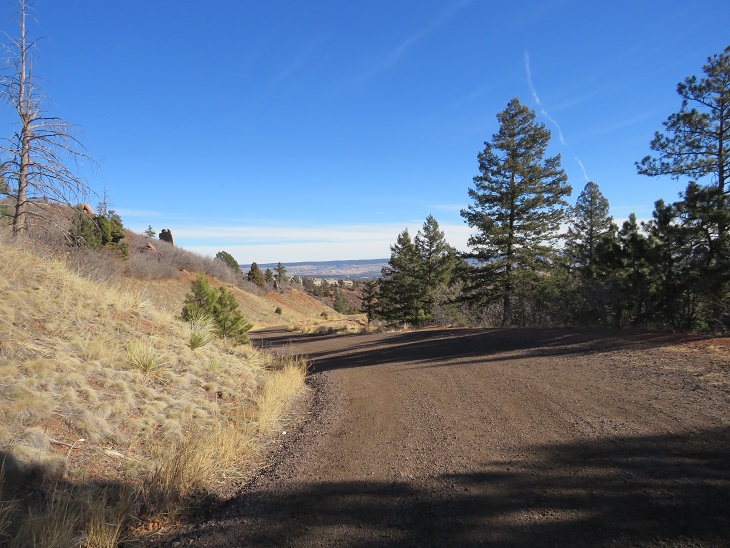
The trail is easy to follow, as it starts out as a 2WD dirt road. Here’s an overall view of the route to the summit from the parking lot.
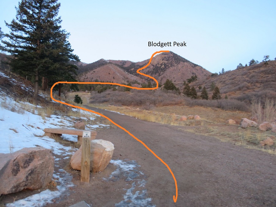
The road serpentines, and there are a lot of side paths. I took the road too far, and ended up at the water plant. From here there are a lot of ‘closed trail’ and ‘no trespassing’ signs, so I turned around. If you make it here, you’ve gone too far.
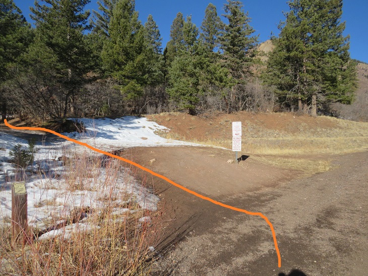
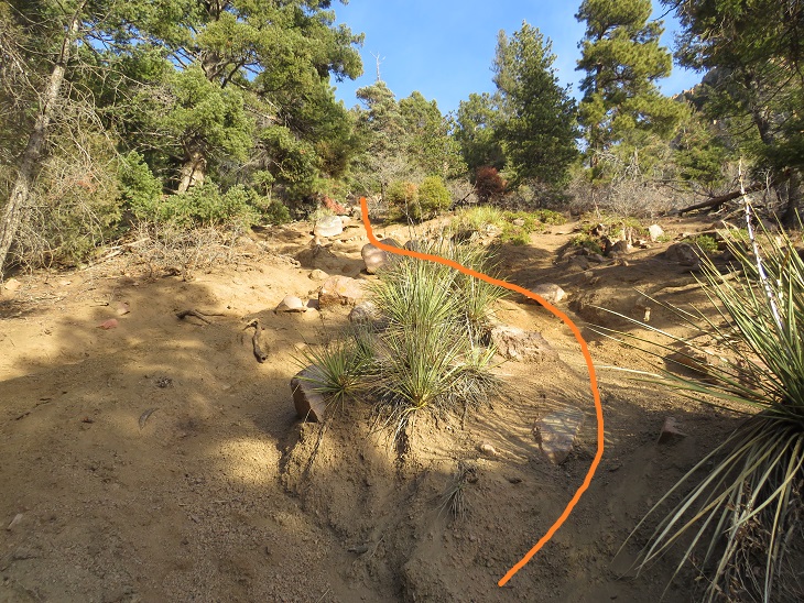
Instead, measure from the parking lot. When you’ve hiked .7 miles you’ll see the entrance for the Hummingbird Trail to your left. Take that trail.
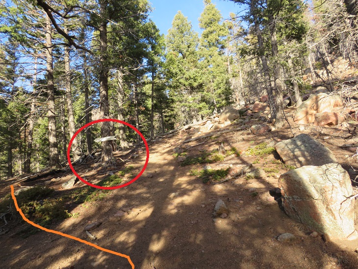
I stayed on this trail for another .7 miles, until it came to a dead end and the trail stopped.
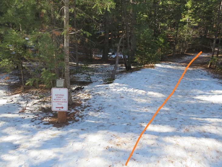

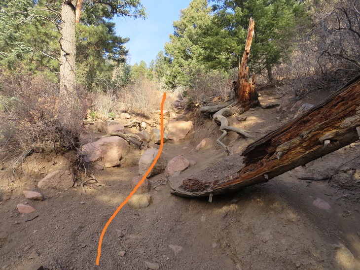
When the trail stopped it forked into 3 faint trails. The one to the far right goes to the Air Force Academy. I took the trail in the middle.
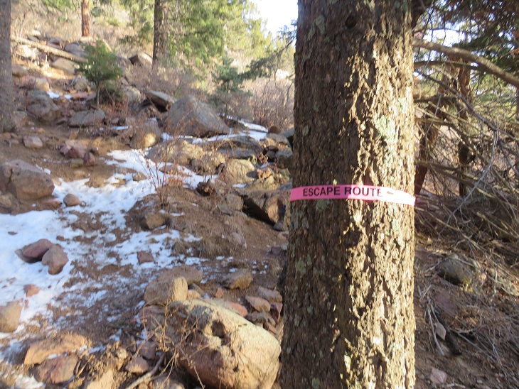
Funny thing: on my way up I saw a pink flag around a tree saying “Escape Route”. These flags were not there on my way back down, and I didn’t see anyone out there all day. I can only assume they were there for Air Force Academy purposes
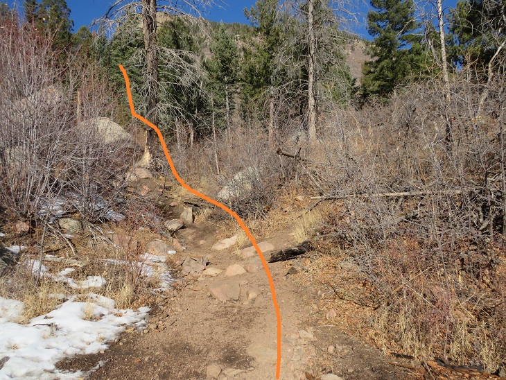
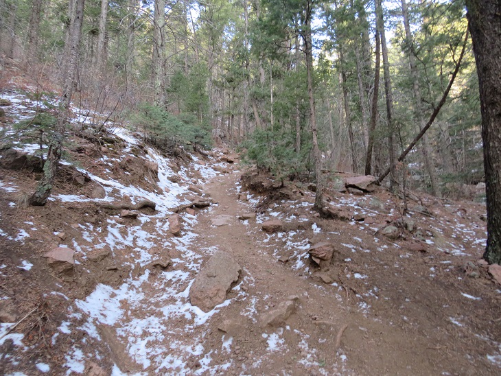
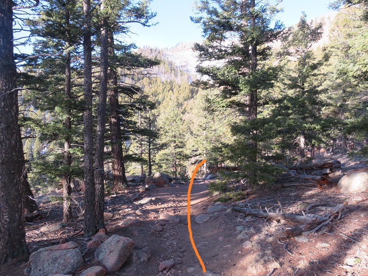
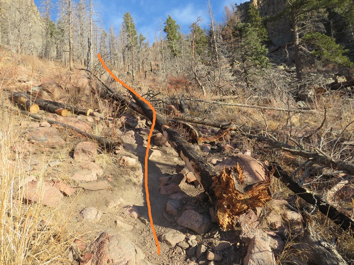
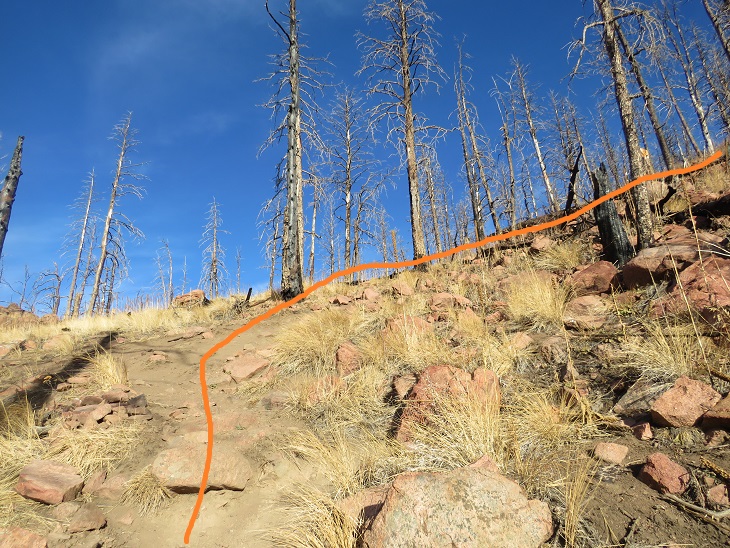
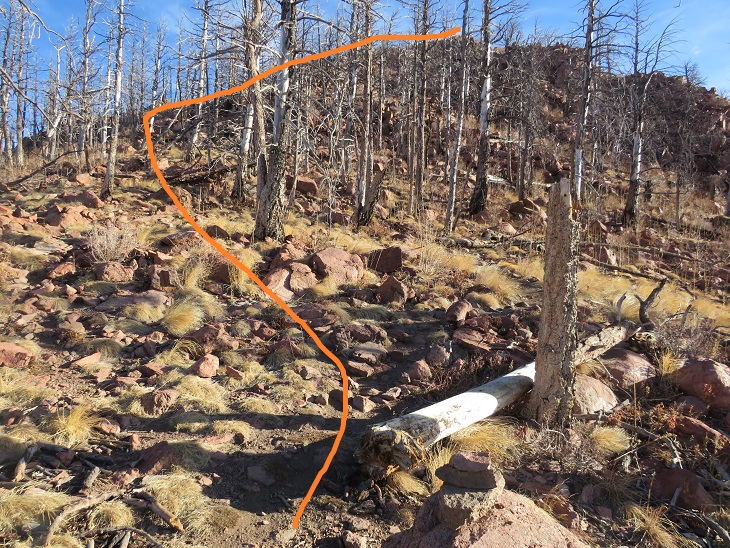
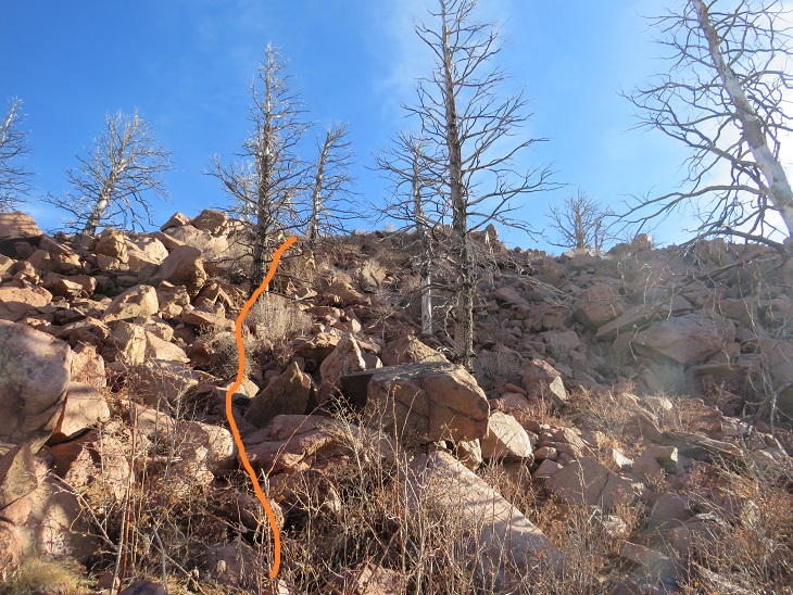
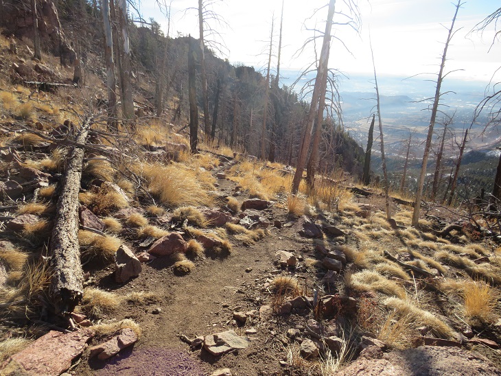
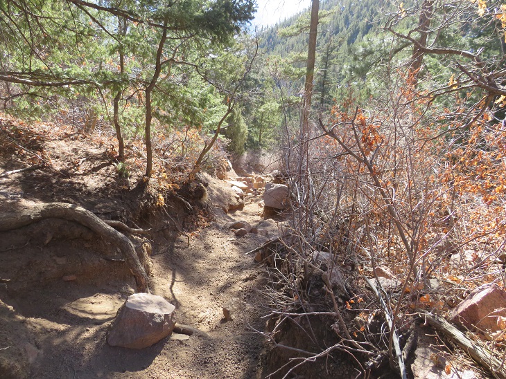
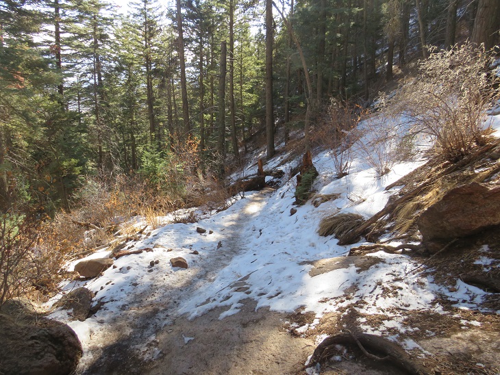
From this point on there are many trails to the saddle. They all go, but they’re all a bit sketchy too (scree). I’d advise wearing microspikes for traction, even in summer. Here are some pictures as I made my way up the ravine.
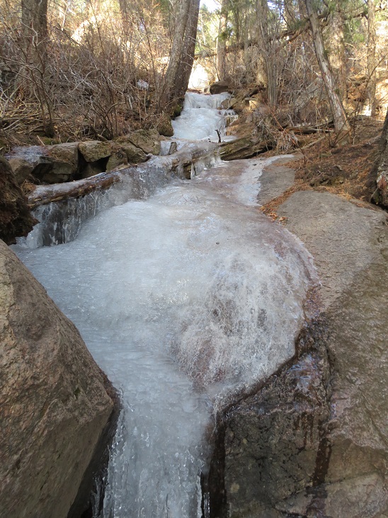
There was some ice on the trail (another reason to wear microspikes)

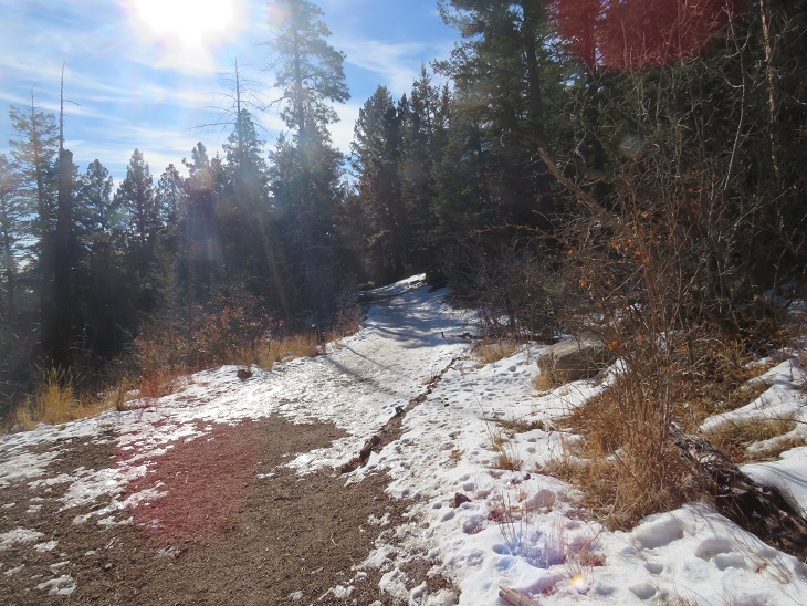
Then more up. This part was slippery
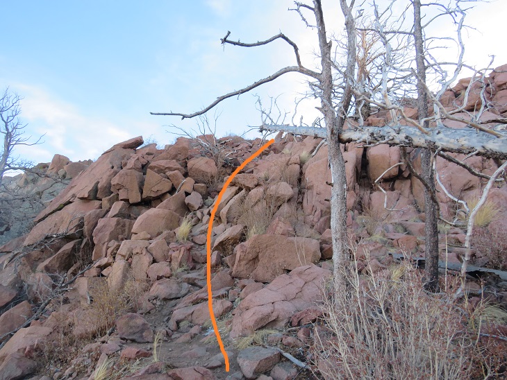
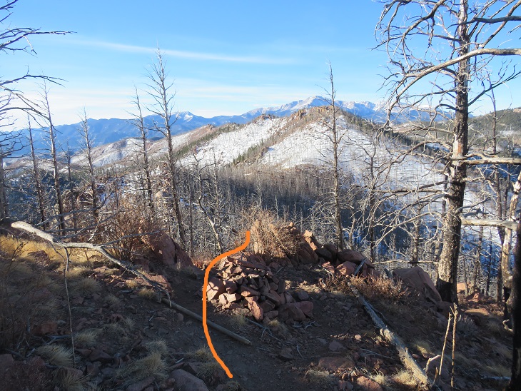
At the top of the slippery scree turn left. If you see this sign, you’ve gone to far. The sign doesn’t have anything written on it.
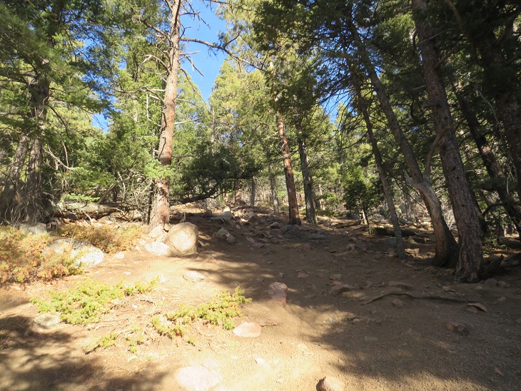
From here on out the trail is much easier to follow
It passes through some of the Waldo Canyon Fire burn scar, and there are downed trees littering the trail here.
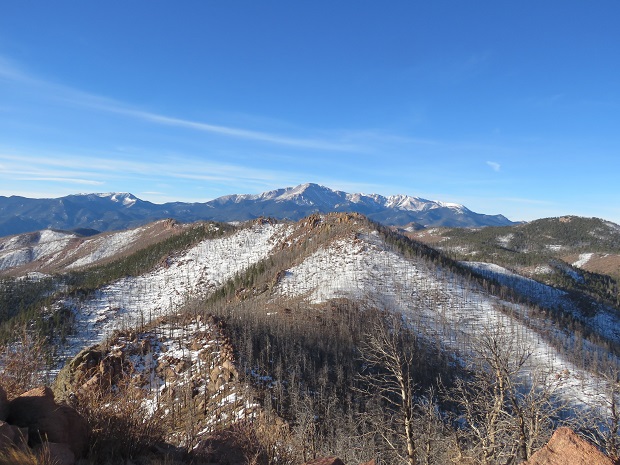
When you come to an obvious saddle turn right and follow the trail northeast to the rocky summit.
I summited at 8:30am. It only took me an hour and a half to get there.

There was a rather robust summit register at the top. It was windy and cold, so I didn’t open it.

I turned and headed back down to the saddle
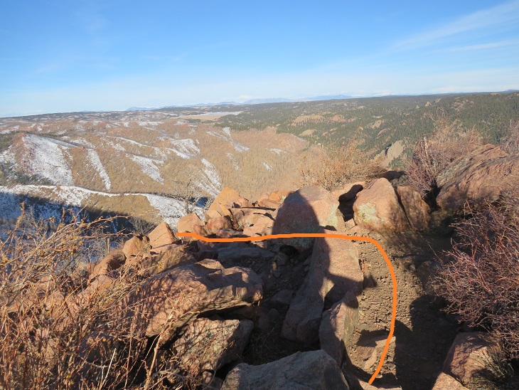
And picked up the trail back down the gully. Here are some photos of my way back down.


One back on the dirt road I followed it back to the trailhead.

I made it back to the trailhead at 9:45am, making this a 5.67 mile hike with 2565’ of elevation gain in 2 hours, 45 minutes