
RT: 3.59 miles
Elevation Gain: 446’
I can’t remember if I’ve ever been to North Dakota. I’m sure we went on a family road trip back when I was younger, but I don’t have any pictures or recollection of the state.
Originally, I’d planned to have a friend go with me, but at the very last minute he bailed. Or, rather, he never showed up. I said goodbye to my daughters, who were still awake, playing Minecraft with friends. They weren’t interested in going with me.
Solo now, I left the house at 1am Friday morning, and drove to North Dakota. One thing I noticed was how different each state was in dealing with masks and covid. Southern Wyoming had a mask mandate, but in northern Wyoming no one seemed to care. South Dakota had a mask mandate, but North Dakota did not. I was a little worried at the amount of snow I encountered in Wyoming, but as I headed further north the snow on the ground lessened. I passed through South Dakota, and when I made it to North Dakota I stopped at the state line and took a picture with the sign.

As I was driving through North Dakota I saw several pheasants, some dead along the side of the road, others flying across the road, and some in fields.
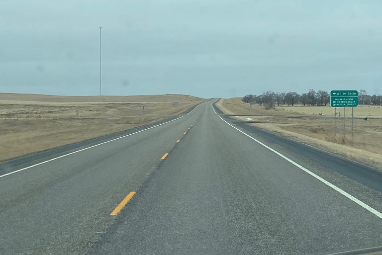
My initial plan was to head to Starbucks first for my mug (I collect them), but as I was driving I passed the turnoff for White Butte, and turned around. It looked like it was going to snow, and I felt it would be better to get the short hike in first. The Starbucks was another hour away, and I didn’t want to chance missing my hiking window.
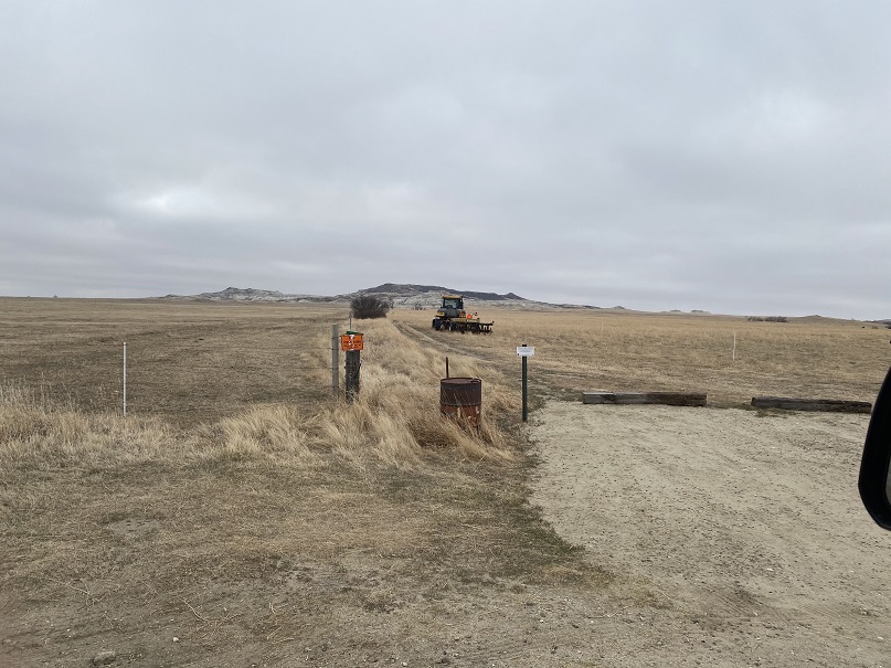
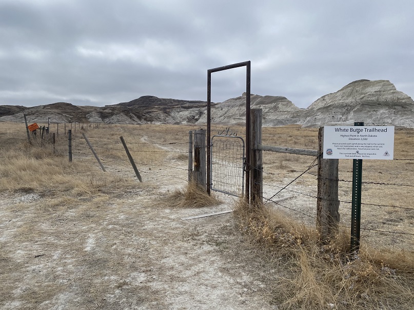
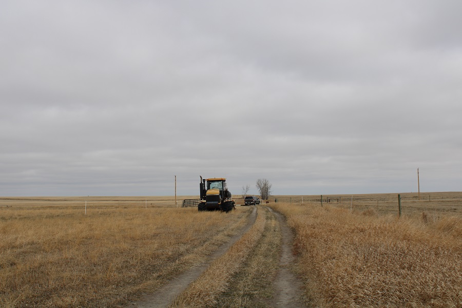
There were signs indicating where to turn to make it to the trailhead. The trailhead was about 5 miles down dirt roads that went through ranches. I saw young calves with their mothers is big herds.


The trailhead had parking for 2 vehicles. Also, the fences are electric.
I backed my truck in, parked, and got out my gear. It was colder than I’d anticipated, and there were snow clouds forming. I put on my wool hat and gloves and was on my way.

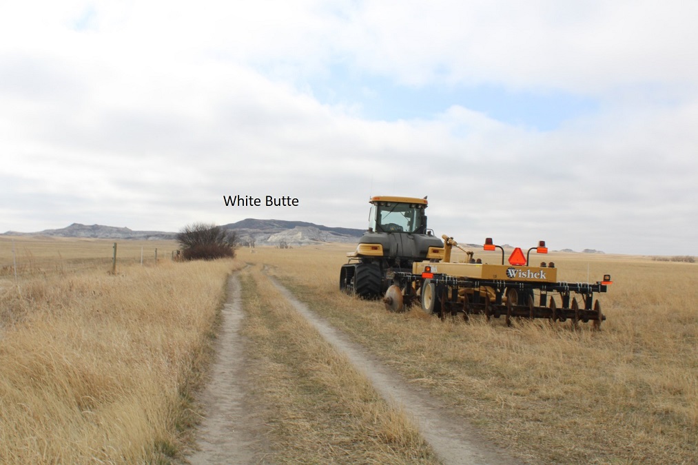
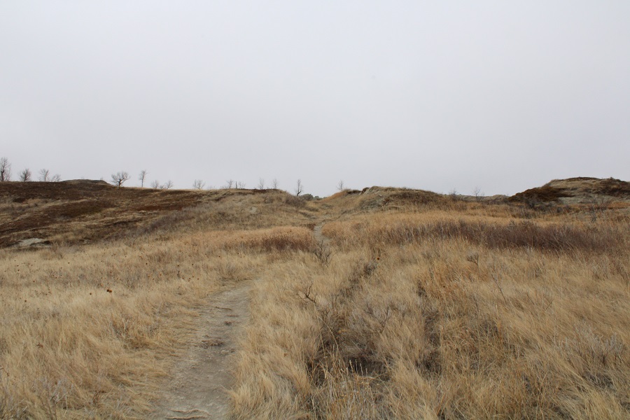
The trail follows an old dirt road for about a mile to an unlocked gate. Along the way I saw more pheasants, and a few emerging pasqueflowers.
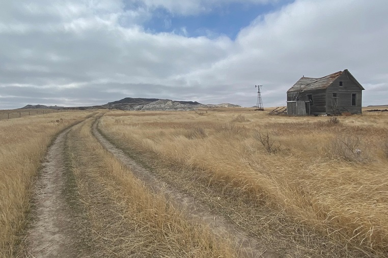
I passed an abandoned house as well
The gate was a little tricky to get open (hint, just push it hard)
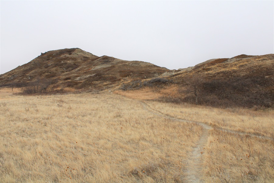
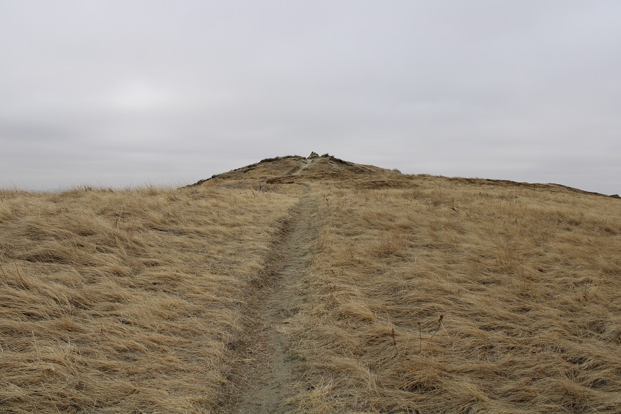
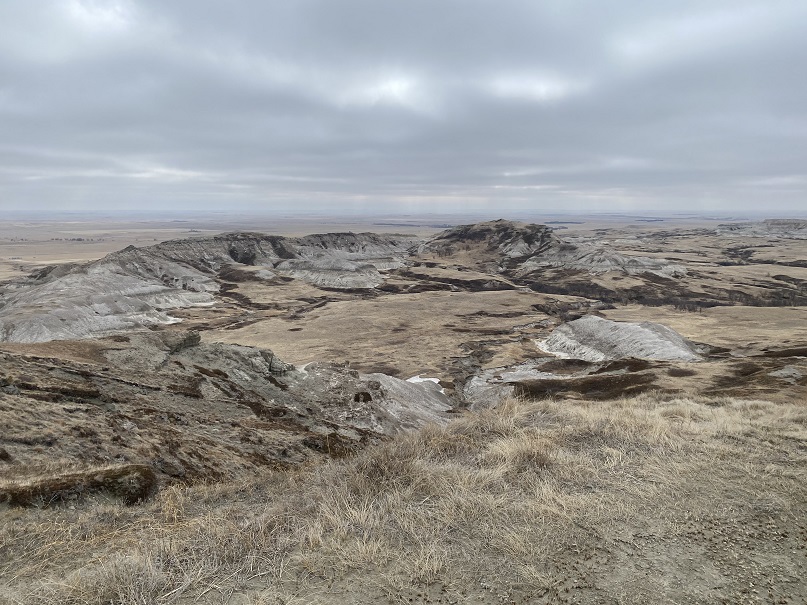
Here’s an overall view of the rest of the route
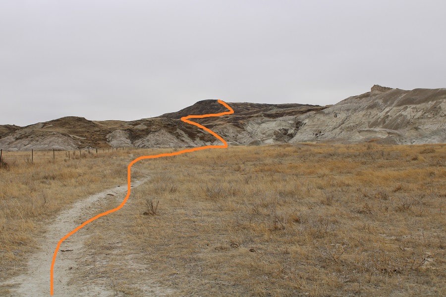
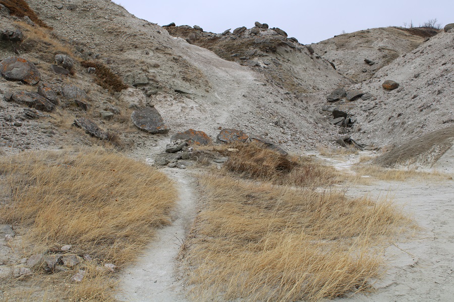
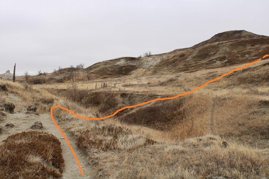
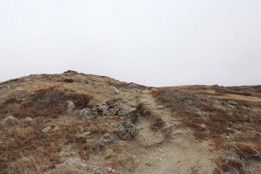
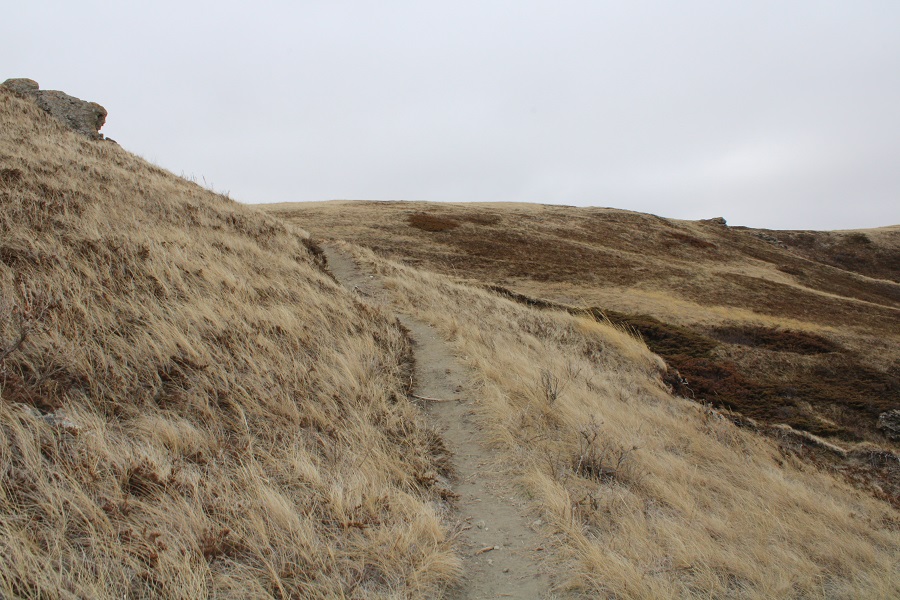
The trail is easy to follow the entire way. There wasn’t any scrambling, but I did notice how it could be slippery if wet. Luckily today the trail was dry. Here’s a play by play of the route:


It was very windy at the summit, as a storm was blowing in.
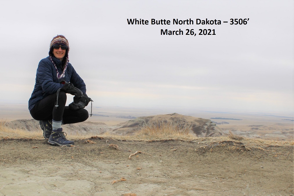
Summit of White Butte – North Dakota
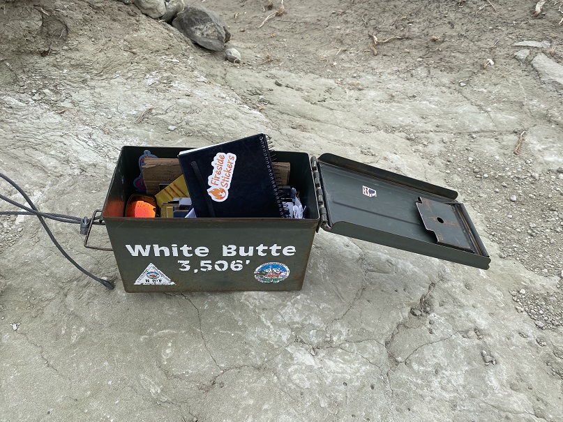
Here are some summit highlights: I don’t often sign registers. I didn’t sign this one, but I did leave a sticker.
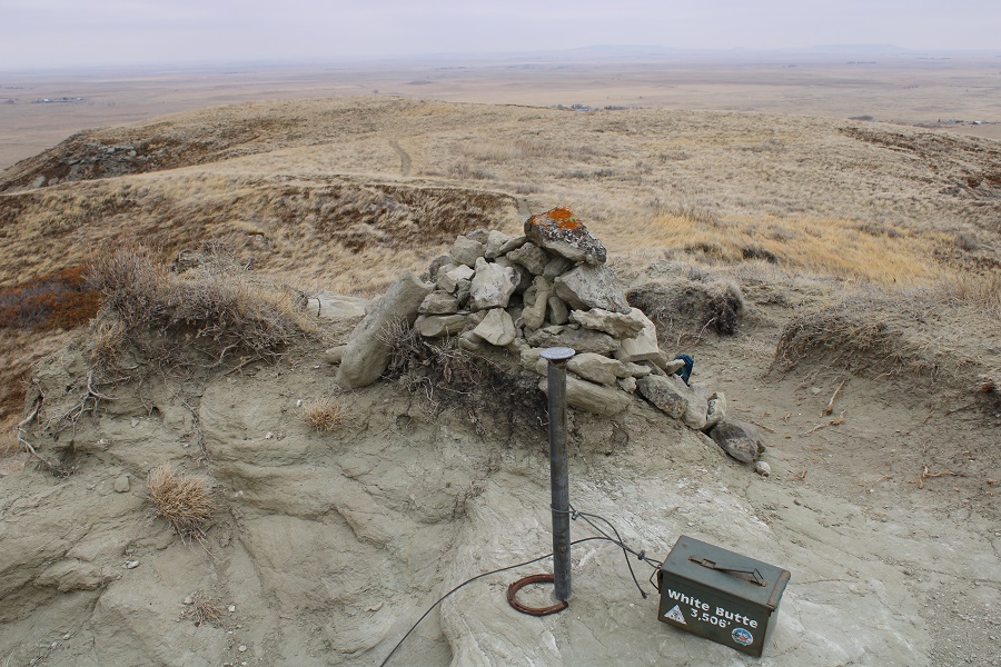

And summit views
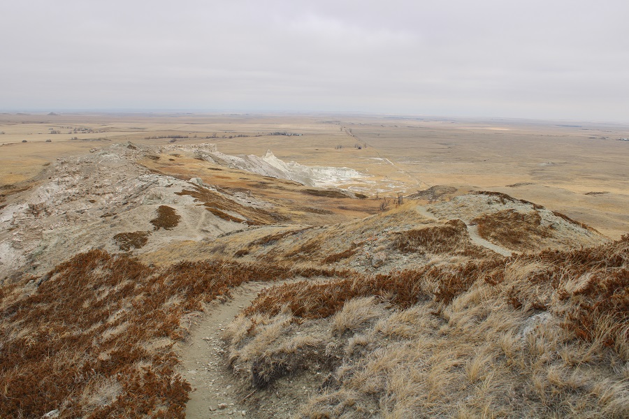
It was windy and cold and I had more plans for today so I didn’t stay long. I turned and headed back the way I came.

Here’s the route I took back to the trailhead

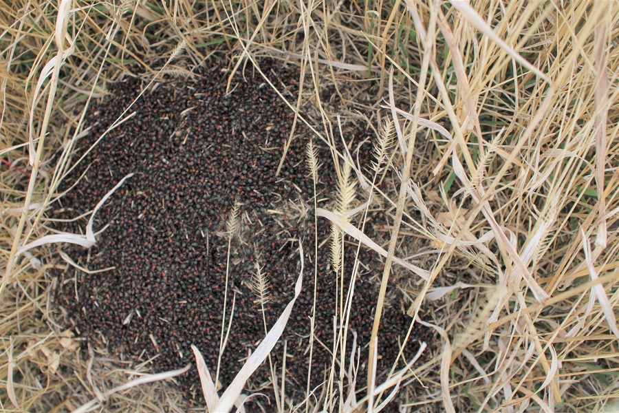
Along the dirt road I saw a HUGE pile of ants, all clustered together
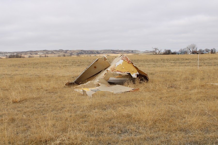
And some structure that looked like if was left there by a tornado
I made it back to my truck and headed back down the dirt road.
The entire hike took me about an hour and a half. Here’s a topo map of my route:

In the 5 miles it took me to get to the paved road it started snowing, and mist was circling the road.
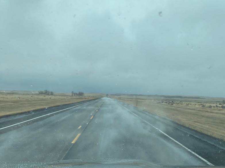
I made the decision to just drive to the next trailhead and skip driving further north to the Starbucks for my mug, as it would add 2 hours to my trip. This ended up being a great decision, as the snow really started coming down. When I got home I could always order the mug online, which was probably cheaper than the gas it would take to get there.

One thought on “White Butte – 3506′ – North Dakota Highpoint”