
RT Length: 7.65 miles
Elevation Gain: 1732’
The drive from North Dakota got easier as the miles went on. It started out with lots of snow, but by the time I made it to Custer State Park the snow had ceased. Once in the Black Hills I stopped at a Subway to get a sandwich, and a Starbucks to get my mug. I was surprised at how many establishments in South Dakota were closed. I’m hoping they were closed because it’s off season, and not due to Covid. I stopped at the Ranger Station to pay the entrance fee, and was surprised to find it was $20 (that seems kind of steep for a day visit).

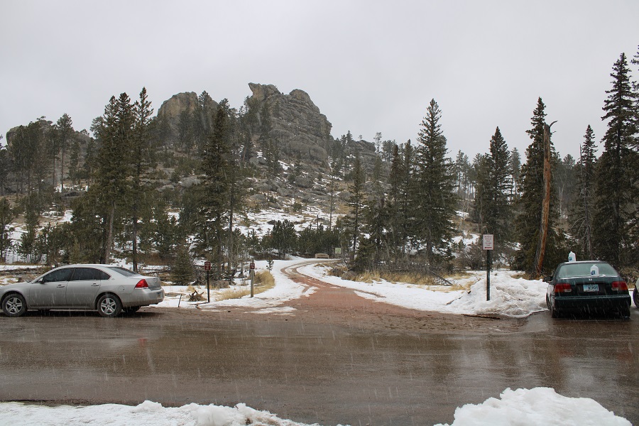
I had wanted to ask if it was ok to sleep in my vehicle overnight, but there was no one at the Ranger Station. There was an information pamphlet, and I scoured it, looking for information on camping, or if I could stay overnight and boondock. It said curfew was 10pm-6am (strictly enforced) but other than that, no rules on sleeping in my truck. I paid the $20, which gave me entrance to the park for 1-7 days, and drove to the Sylvan Lake picnic area. I drove around looking for a spot, only to find the parking lot almost full. The dirt lot was inaccessible due to mud, and there seemed to be an awful lot of people walking around.
I finally found a spot I could back into, and realized why the lot was full: the local police were handing out food and supplies (laundry detergent) to local Lakota. I saw them with boxed up meals, lining up to receive them and eating them in their vehicles before driving off.
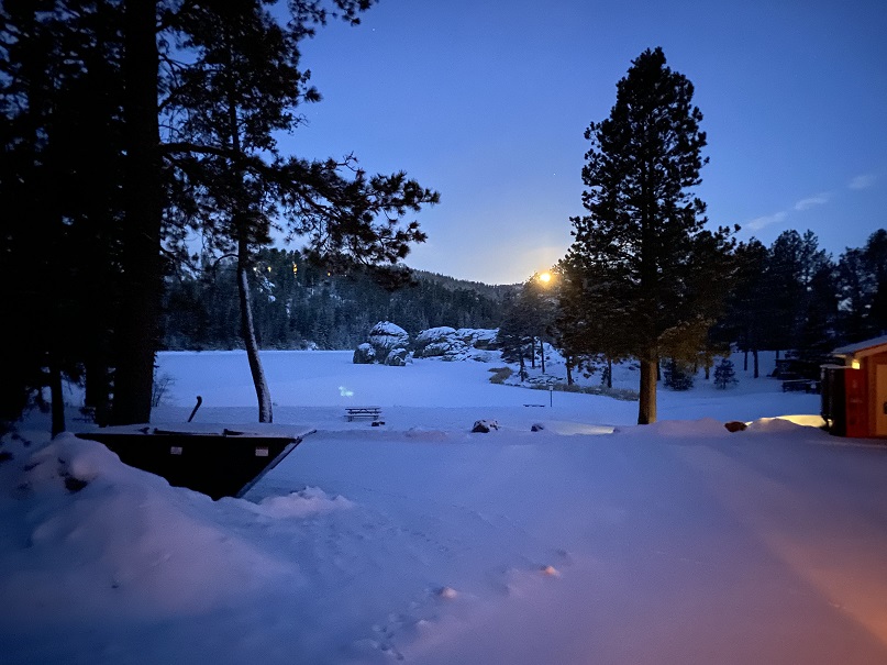
Sylvan Lake appeared frozen, and I was astonished to see a family, 2 parents with young kids, walking single-file over the ice. It’s currently spring and because it was so late in the season I was worried for their safety, but they weren’t the only ones doing this: I saw several more parties venture out onto the ice, and all left unscathed. They made me nervous.

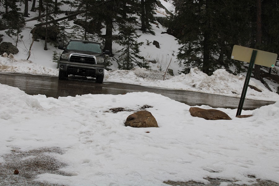
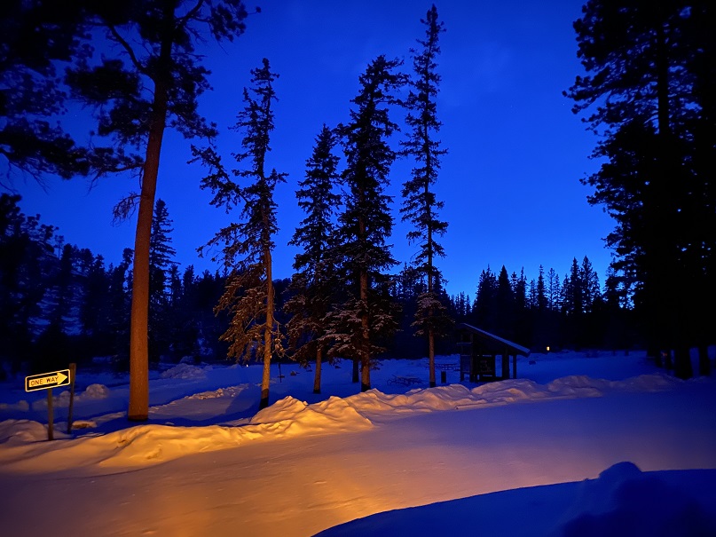
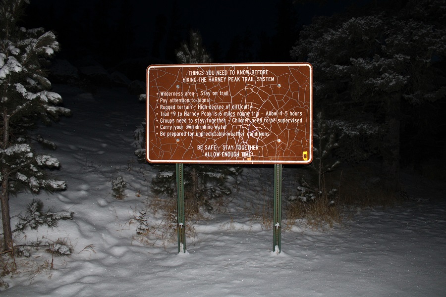
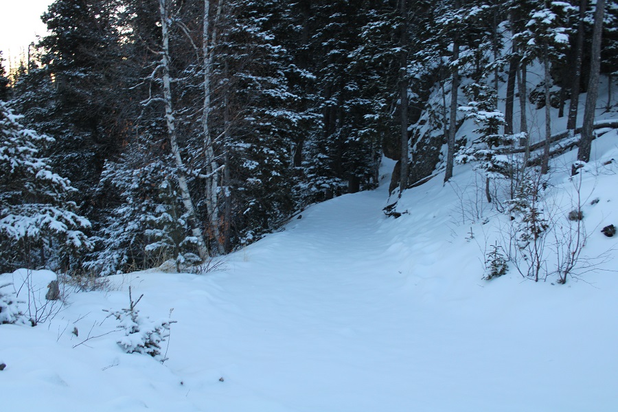
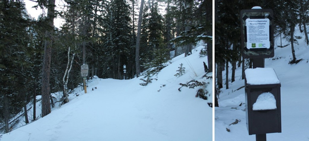
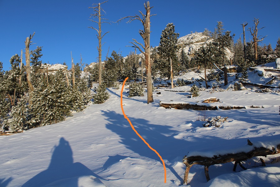
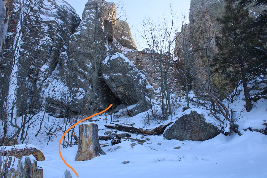
I sat in my truck and ate my sandwich and people watched as I jotted down the day’s notes in my journal. I got out and walked around to find the start of the trailhead, and it started to snow. Here’s a look at the trailhead entrance in the daylight
I went back to my truck and decided to read until it was time for bed.
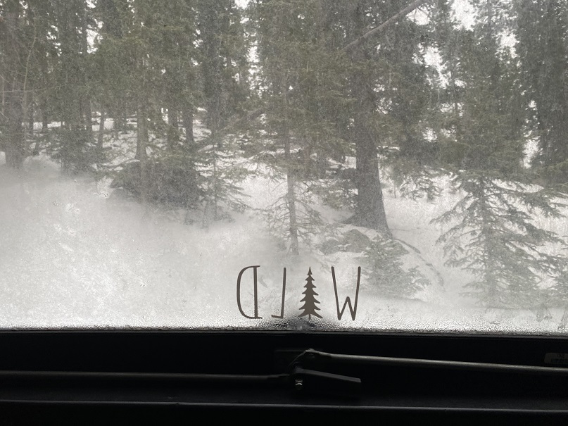
I watched the snow, and turned on my heater for a bit as I read
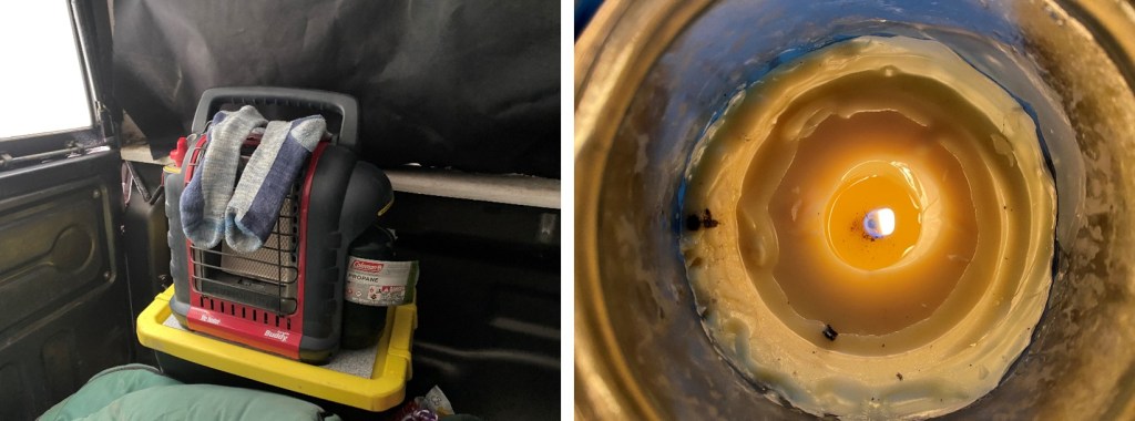
I have a heavy-duty indoor heater, and it usually works so well I only keep it on for a few minutes before turning it off. I also lit a candle because I like candles, and even learned a little something: When the heater burns up all the oxygen the candle will go out. Also, matches won’t light. This reminded me a bit of a canary in a coal mine, and I found it useful information. I turned off the heater and was able to re-light the candle about 5 minutes later, using a flashlight in the meantime. I used the turned off heater to dry my socks (I LOVE this heater!!!)
As the sun began to set the snow picked up and the parking lot emptied. I heard a couple of Canada geese fly in, and then honk to each other for a good half hour. I enjoyed some whiskey and thought to myself how cool it was to be inside of this metal box, deep in the Black Hills, as it was snowing. With the heater off I could now see my breath.
I went to bed prepared to face the frigid night, and also the hike in the morning: I was wearing my fleece lined pants, puffy and outer jacket, mountaineering gloves, balaclava, and wool hat. I snuggled under my 3 sleeping bags and crocheted blanket, and fell asleep.
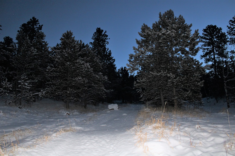
I didn’t wake up until my alarm went off at 5:30am. I peeked outside, and the moon was just setting over the ridge behind Sylvan Lake. Also, there was much more snow than I’d anticipated! I was glad I’d decided to park here overnight, because I’m not sure what the drive in would have been like this morning (but I could guess: not fun). Funny how a 20% chance of snow can turn into 4-6 inches.
I went to open my back window, and it wouldn’t budge. Hmm. I must have locked it last night? I turned the handle to unlock the window, and it still wouldn’t move. That’s when I realized the ice and snow had frozen the window shut! Oops! I just needed to make sure it was indeed unlocked, and was then a little more forceful. I pried open the window, and stepped out into several inches of fresh snow. I actually got in from the passengers’ side door, so as not to get snow on the front seat while I got ready. I turned on the truck, blasted the heater, and had my windshield wipers clear away the snow while I put on my hiking boots and ate a few dried mangoes for breakfast. The truck’s thermometer said it was 23 degrees outside. Not bad: I’d been warm all night.
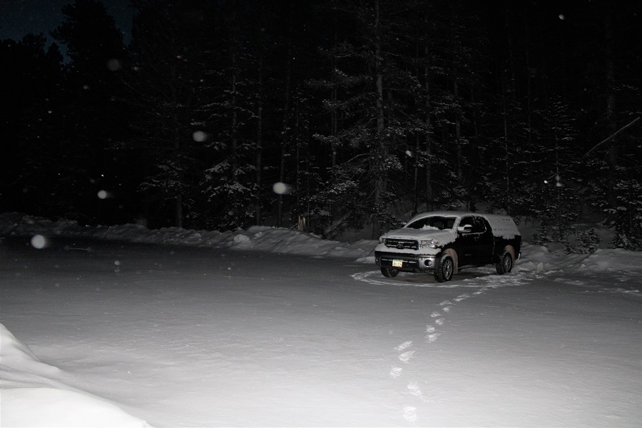
When I went to bed there were still dozens of vehicles in the lot, but now, my truck was the only one.
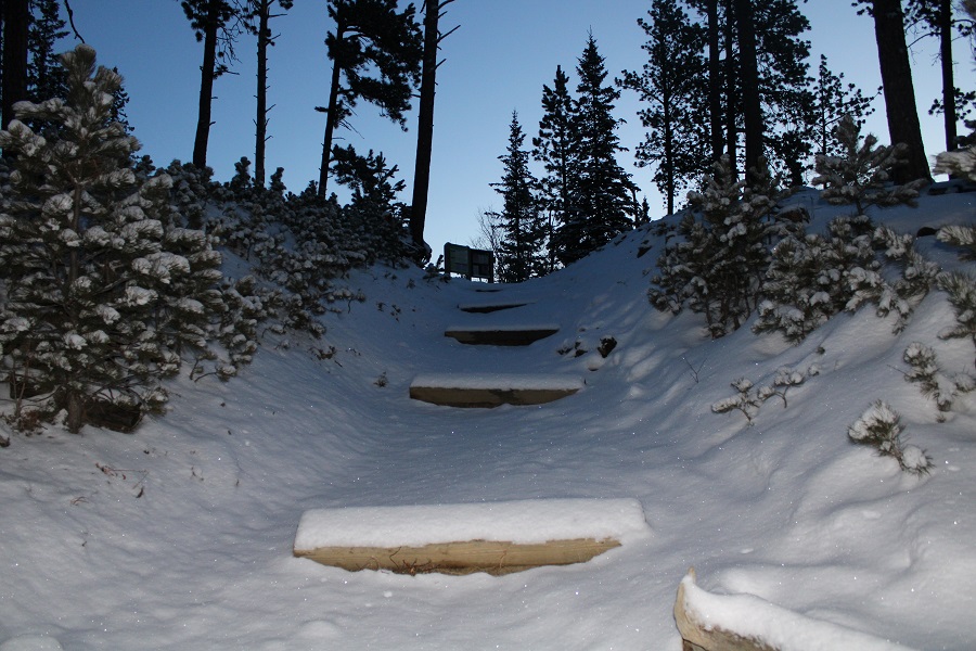
I was waiting for the sun to rise, but as soon as it was light enough for me to see without a flashlight I hit the trail, around 6am. But first, I used my scraper to clear off my truck, to make my exit easier later in the day.
I took my snowshoes and ice axe just in case (they weren’t needed) and headed out to find the trailhead
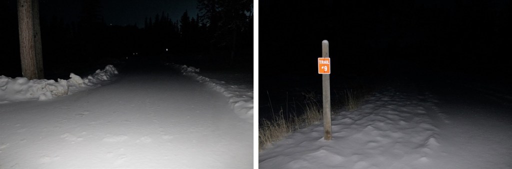
The trail to Elk Peak has several different names: Elk Peak Trail, Harney Trail, and Trail #9. They all go to the summit.

The trail was covered in snow, so I wasn’t sure if it was a trail or a 4WD road, but one thing was for sure: it was easy to follow, even with snow.

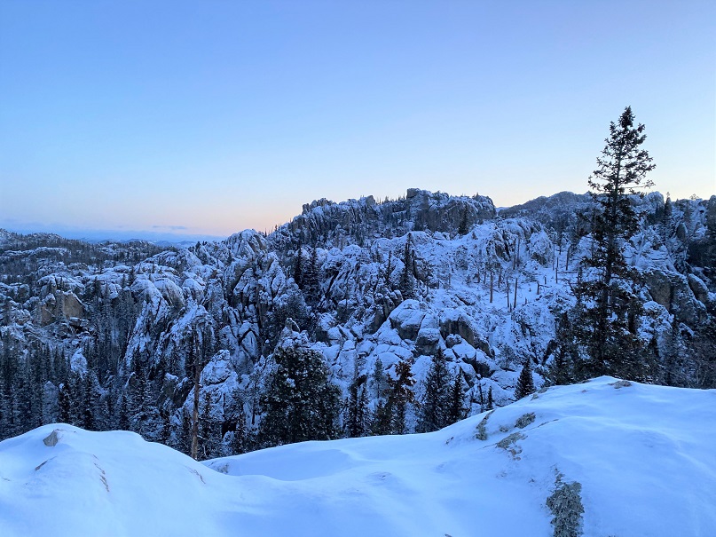
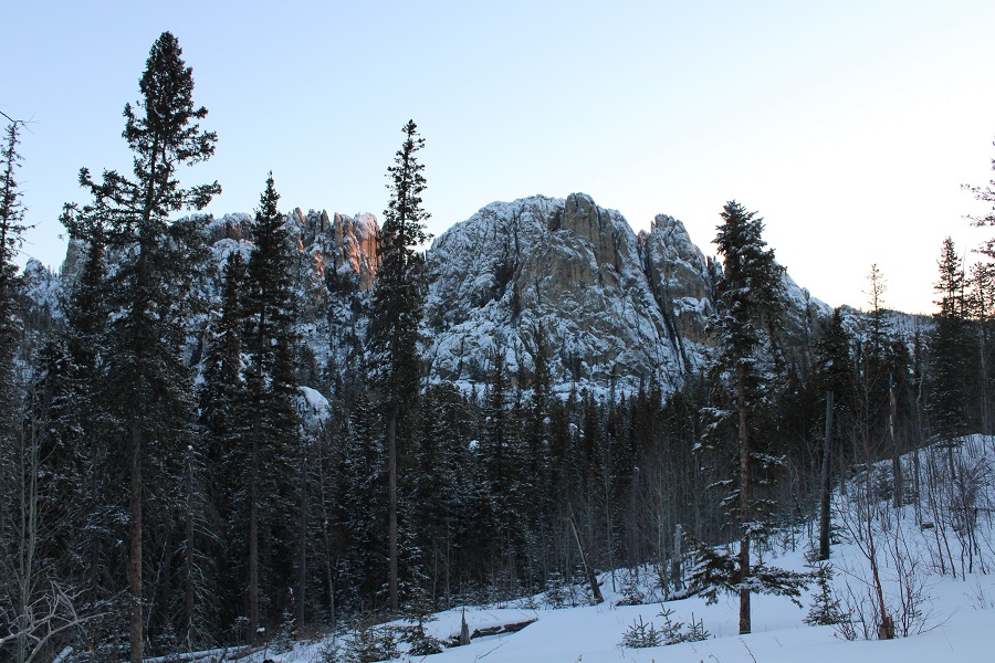
The views were beautiful as the sun began to rise
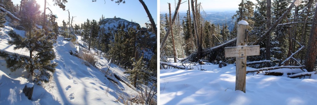
I continued following the class 1 trail, and came across a bench
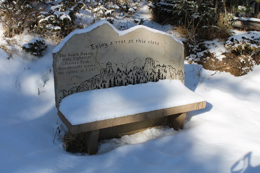
Directly across from the bench you can see the summit tower (Harney tower). This is the 1 mile mark of the hike.
I continued on, and started seeing Lakota tobacco ties/offerings on the trees. Tobacco ties are basically prayer ties. They are to be thought of as a physical manifestation of a prayer. Each color of cloth represents something. Within the Lakota culture, a white cloth is used for a prayer for healing, a red cloth is used for our ancestors and a yellow cloth is used for giving thanks. Blue and green cloth can also be used.

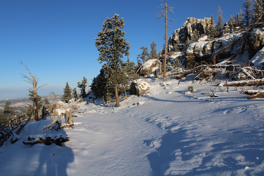
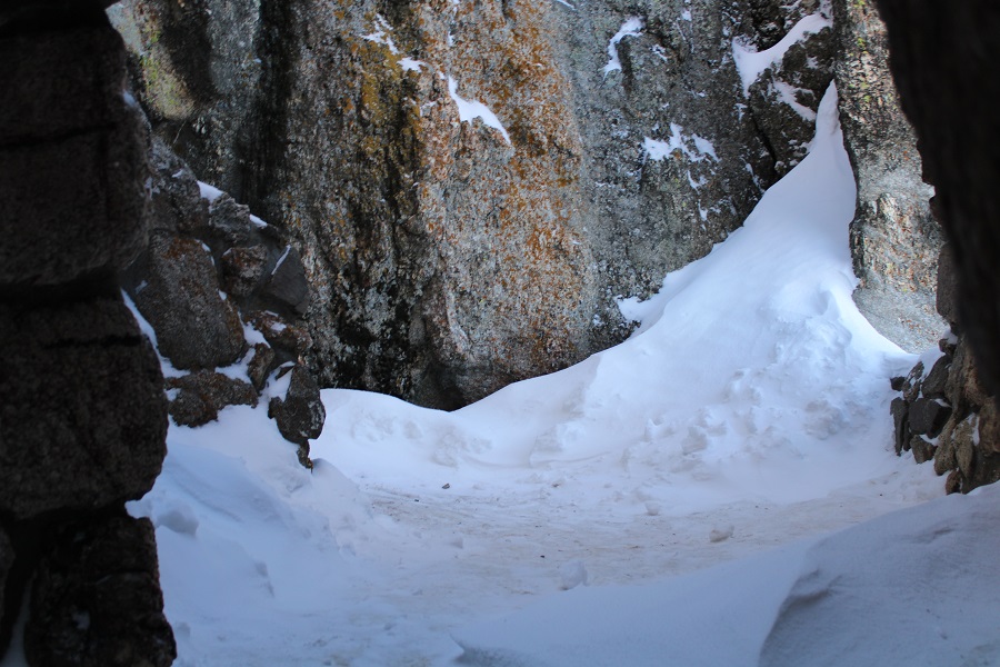
I continued on, breaking trail
Until I came upon this sign. From here the trail lost 250 feet of elevation, before gaining elevation again
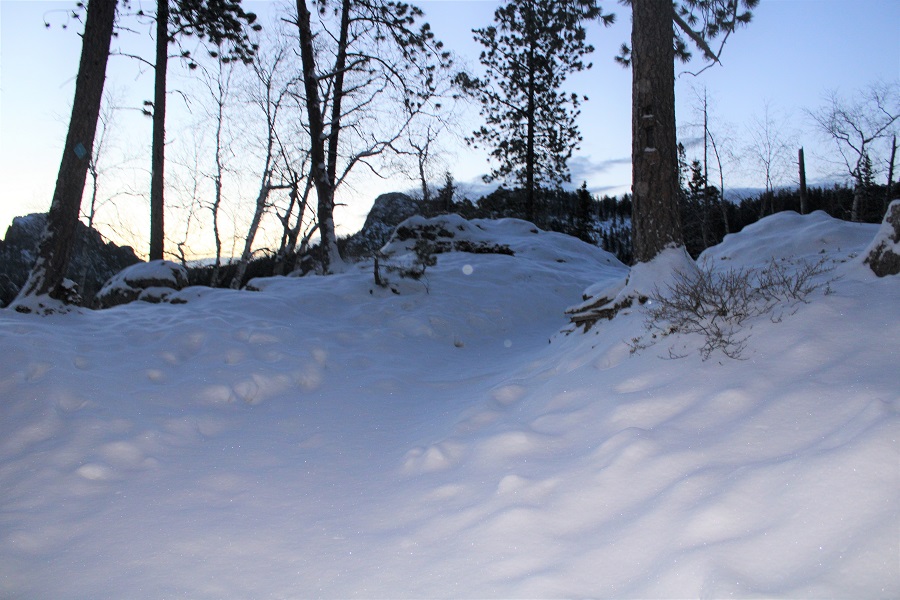
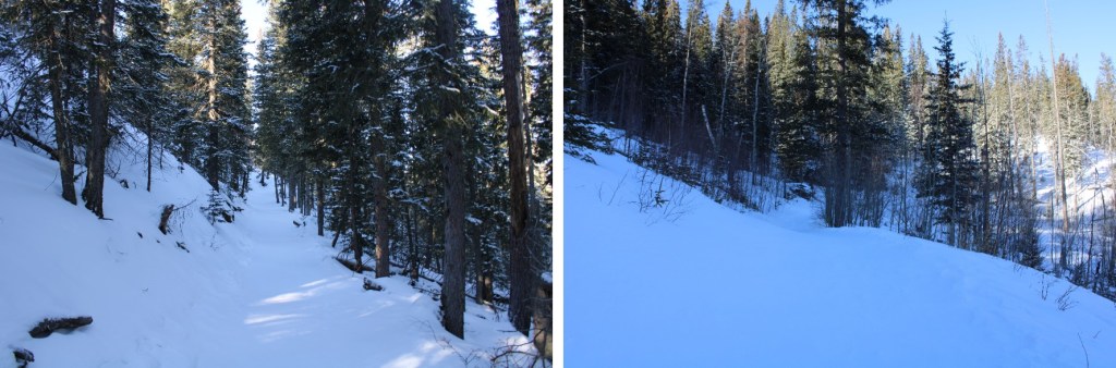
One thing about this hike: I loved being in the trees, but all the views were obscured.
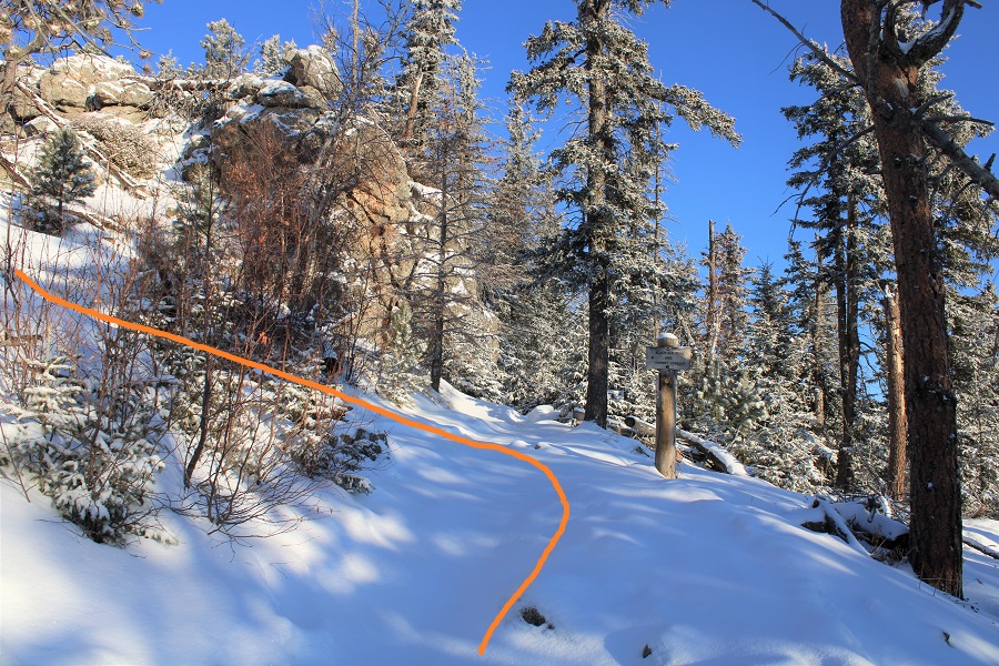
The trail was very clearly marked, just be sure to stay on the Elk Peak Trail, Harney Trail, and Trail #9.
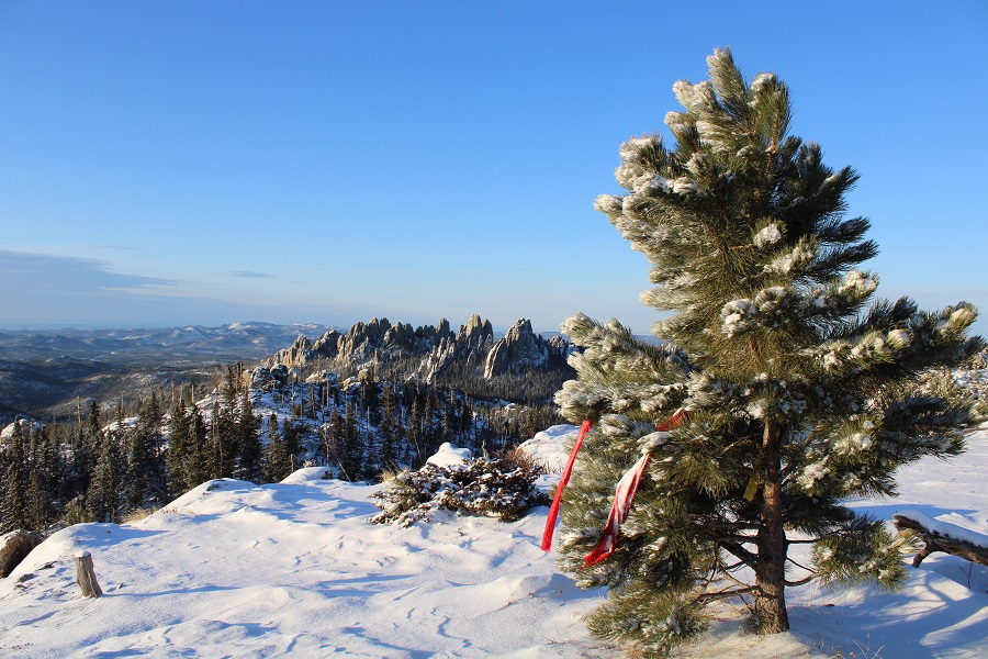
I came to a small plateau with a view and more prayer offerings. This is where the wind started picking up
Now I was headed north
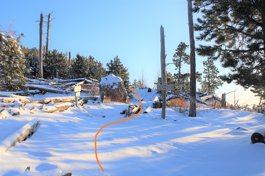
Note, go LEFT at this sign, as going straight won’t take you to the summit
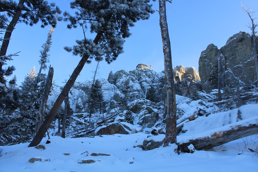
I rounded the west side of the peak
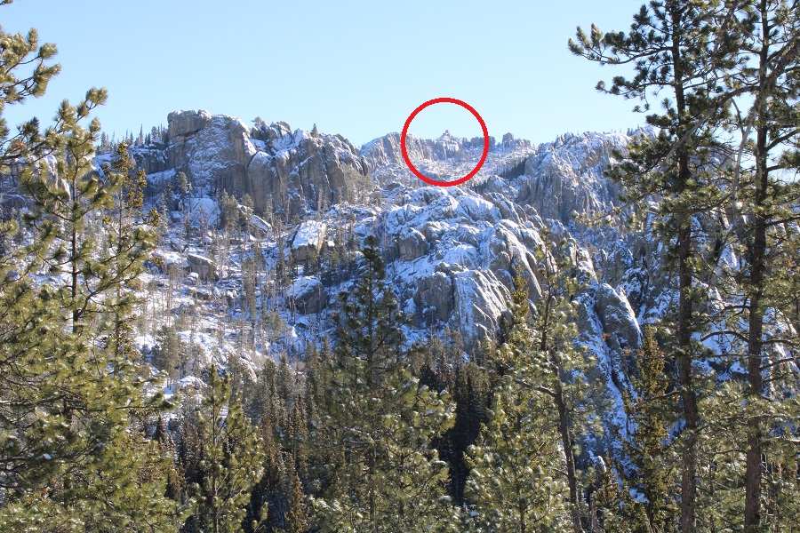
And then had a clear view of the tower
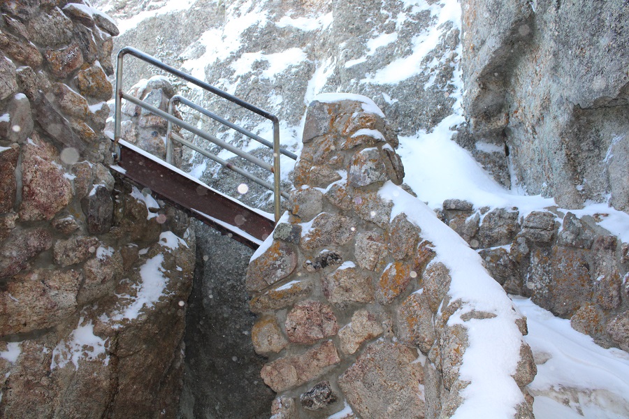
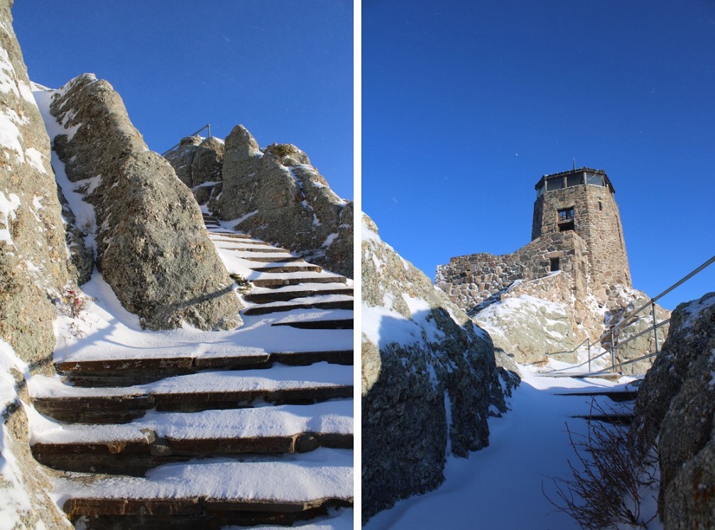
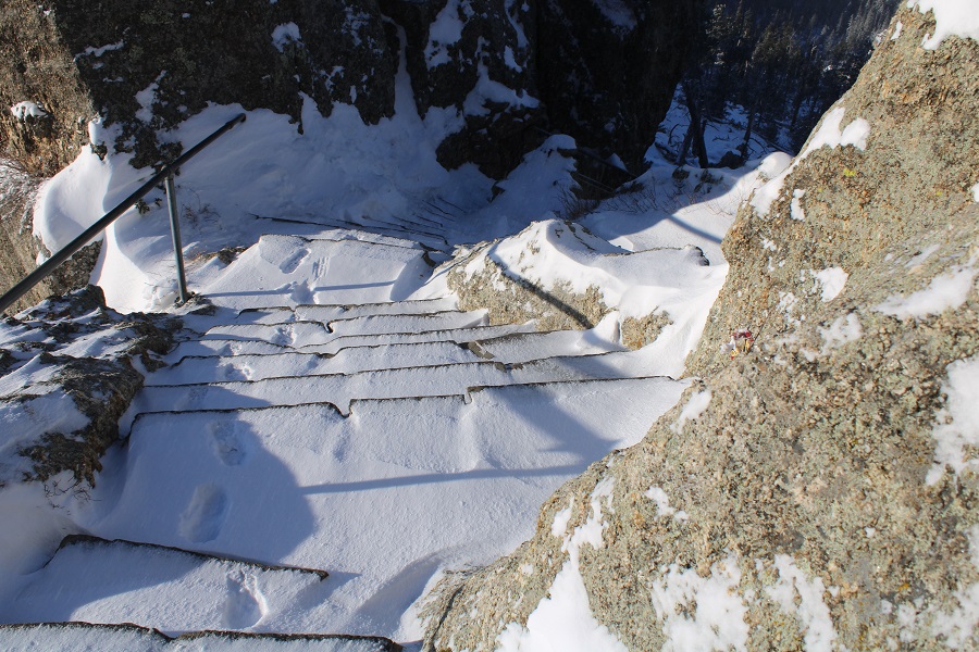
To get to the tower I headed northeast, going through this rock, and up the stairs. This is where it got really icy: the ice was over a foot thick, and slippery, similar to a metal slide covered in ice. Microspikes and good balance are required here
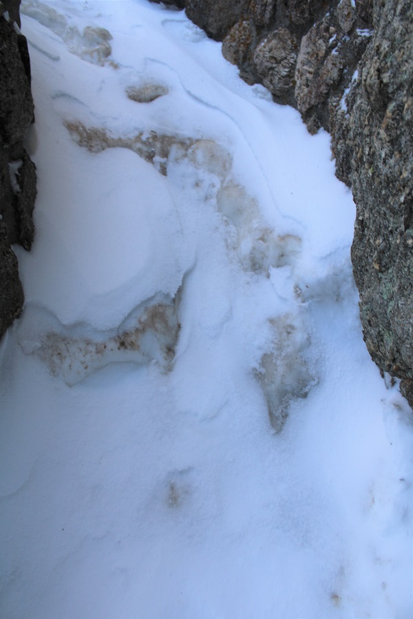
This led me to some slippery steps, and the summit tower.
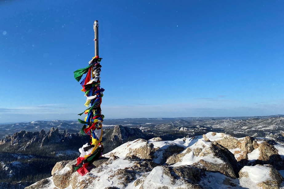
Just below the summit area was a pole with a lot of offerings. It made for a great summit photo
It was really, really windy on the summit area. I’m guessing 40-50mph winds.

I continued on, climbing up the tower stairs. Just for reference, the true summit is here. I scrambled there and sat on top just to say I’d summited. (For anyone thinking the true summit is across the way, click here).

Here’s a video from the Harney Tower
More views of the summit area. I was all over that summit, and let me tell you, the wind just kept getting worse.


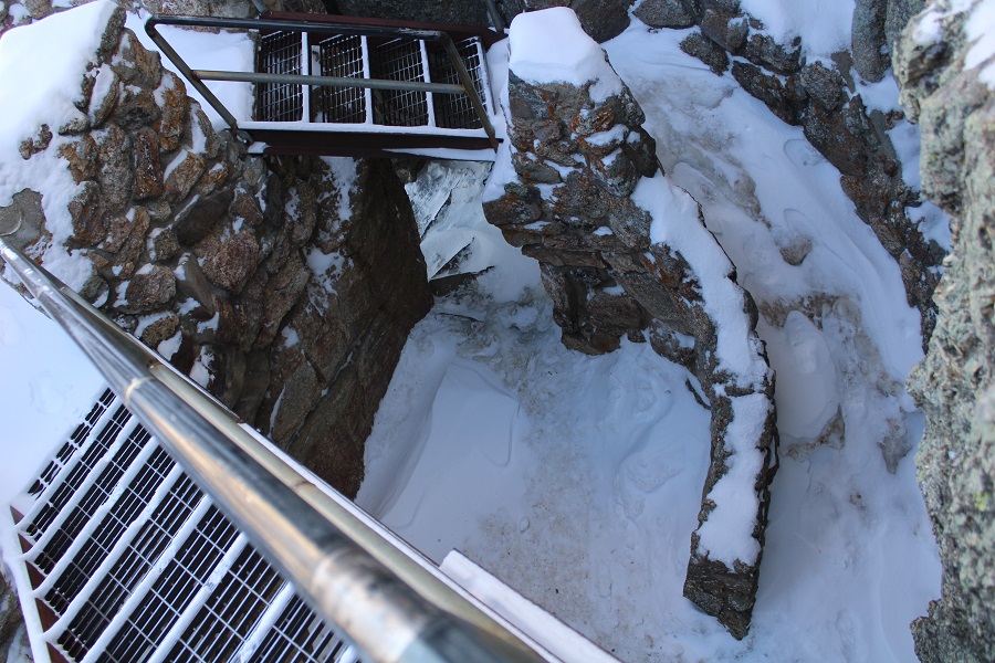
Time to head down. I was careful on the snow/ice filled steps not to slip
Then I followed my footsteps back down
After hiking for about half a mile I was surprised to encounter another hiker! He’d started at about 6:30 this morning, and had been following my tracks the whole way. He said the roads were terrible, and I hoped they were plowed before I made it back. I wished him luck and continued on my way.
From here in areas the wind had covered both my tracks and those of the other hiker, but the trail was still easy to follow

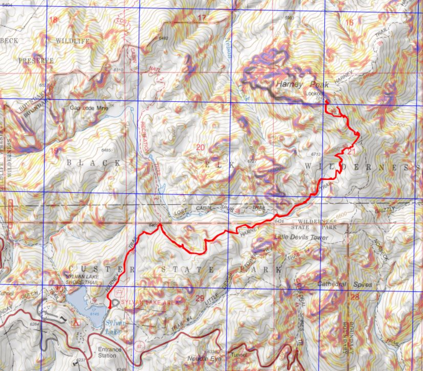
When I made it back to the trailhead there was a snowplow there, clearing the parking area.
The area around my truck was nice and clean!

I made it to my truck at 9am, making this a 7.65 mile hike with 1732’ of elevation gain in 3 hours. Not sure why the sign says it should take 4-6 hours to complete? I did it in 3, while breaking trail through the snow, and spending quite a bit of time on the summit taking pictures. Also, it’s longer than their stated 6 miles (closer to 7.5 miles round trip). Here’s a topo map of my route
All in all, I was really pleased I’d chosen to take this road trip! It was still really early, so I started my drive south to Nebraska, for my third highpoint of this trip. I only hoped there wasn’t too much snow…

One thought on “Black Elk Peak – 7242’ – South Dakota Highpoint”