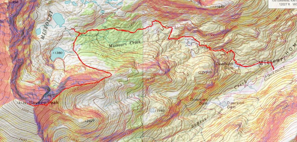
RT Length: 9.24 miles
Elevation Gain: 3314’
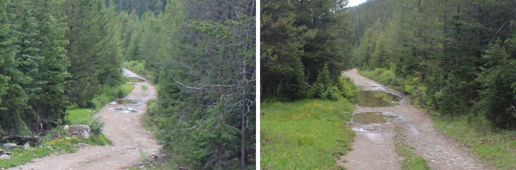
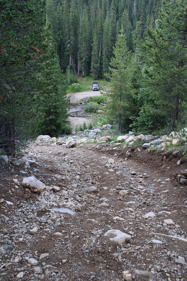
The storms this week have put a damper on my hiking plans. Most of the peaks on my immediate goal list are too long to complete before the storms hit, so when I saw the weather was good near Savage Peak I jumped on the chance to get in a quick weekday summit. I drove past the Missouri Lakes trailhead and drove the 4WD road to the stream crossing. I didn’t need to put my truck into 4WD (which was good, because it’s still not working). There were some large puddles to splash through on the way in.
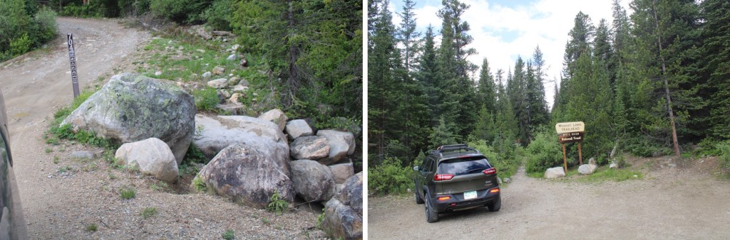
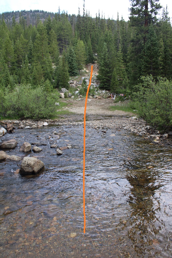
I parked at the stream crossing, and wore my sandals to cross the river and start the trail
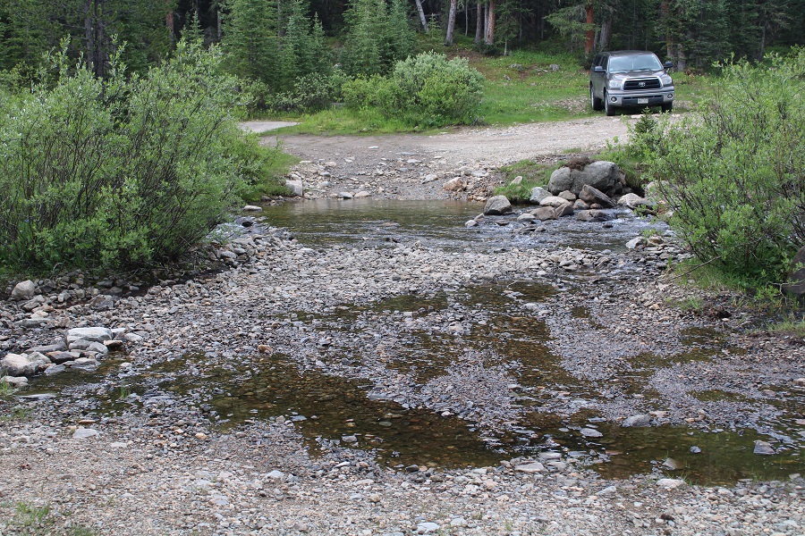
The road curves around a bit, but you can just go straight up the hillside and pick up the road from there. The stream was only a couple of inches deep. You could drive across it, but it only saves you about 100 feet of hiking, so it’s not really worth it.
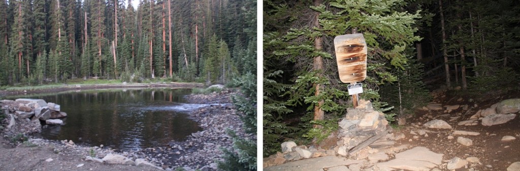
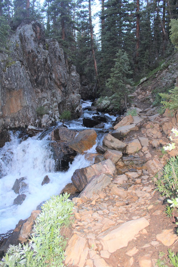
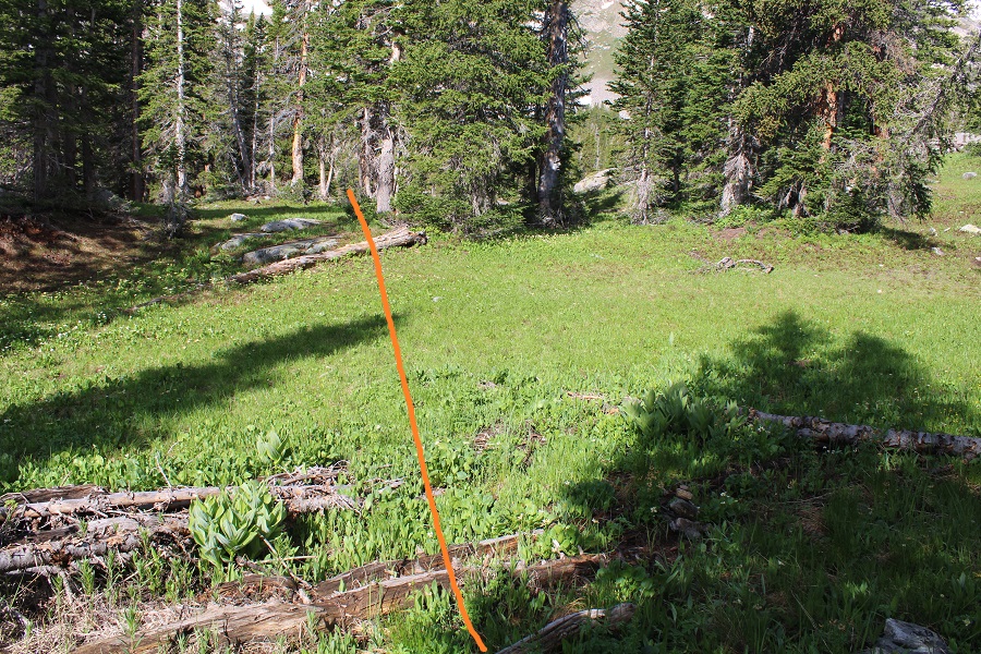
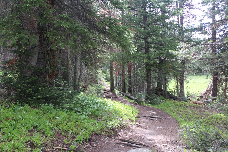
I followed the road for about half a mile to the diversion dam, where the road ended and the Missouri Lakes trail began.

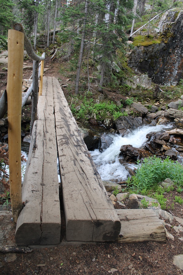
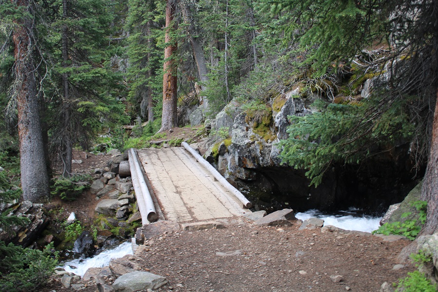
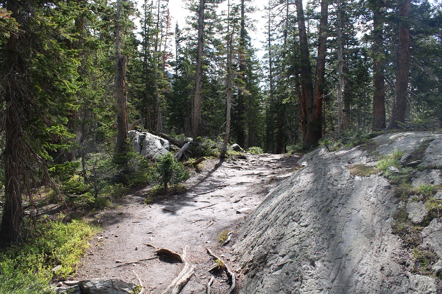
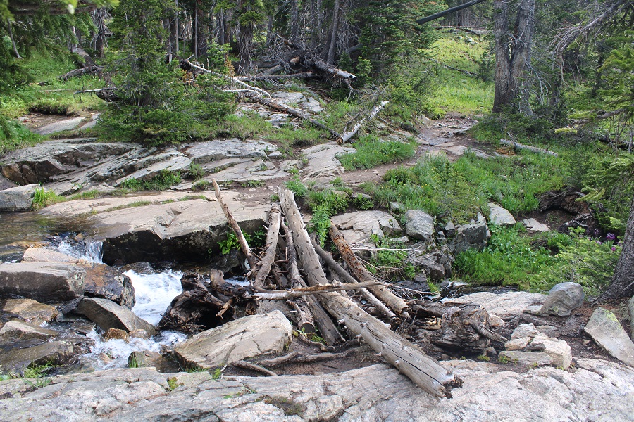
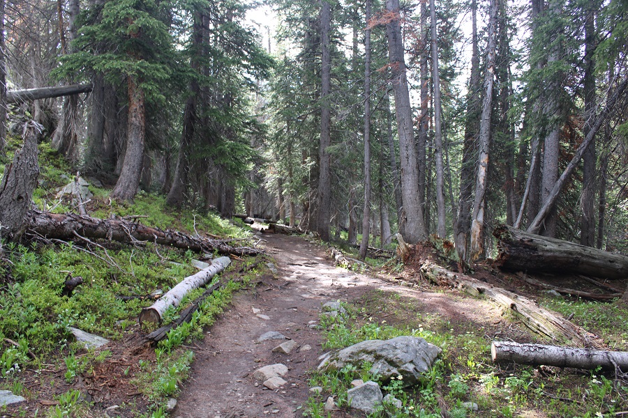
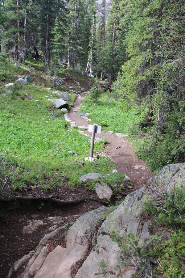
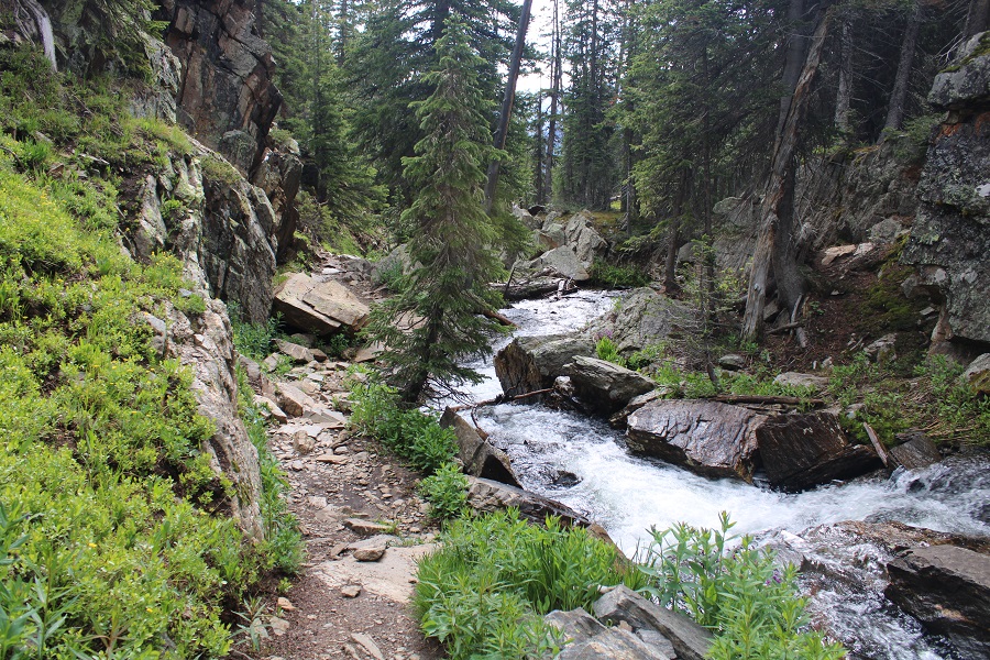
This was a class 1 trail that followed Missouri Creek. I loved how easy it was to follow up and into the basin, crossing the creek several times on sturdy bridges.
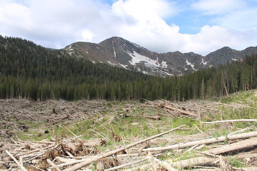
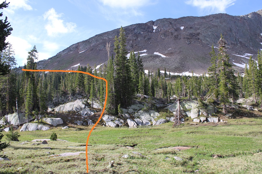
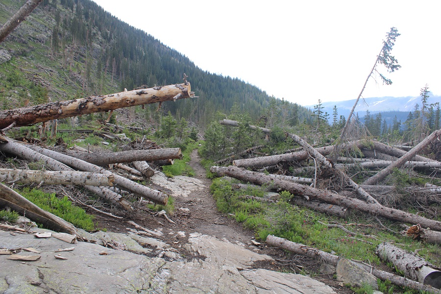
I followed the trail west. At about 11,000’ I came upon avalanche debris. The trail was well maintained and easy to follow through the debris.
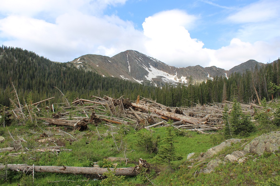
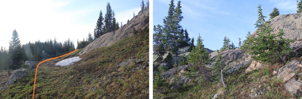
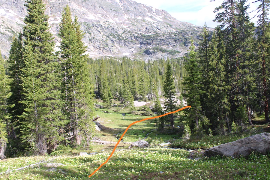
This is also a good place to get a visual of the route. This is where you’ll be aiming.
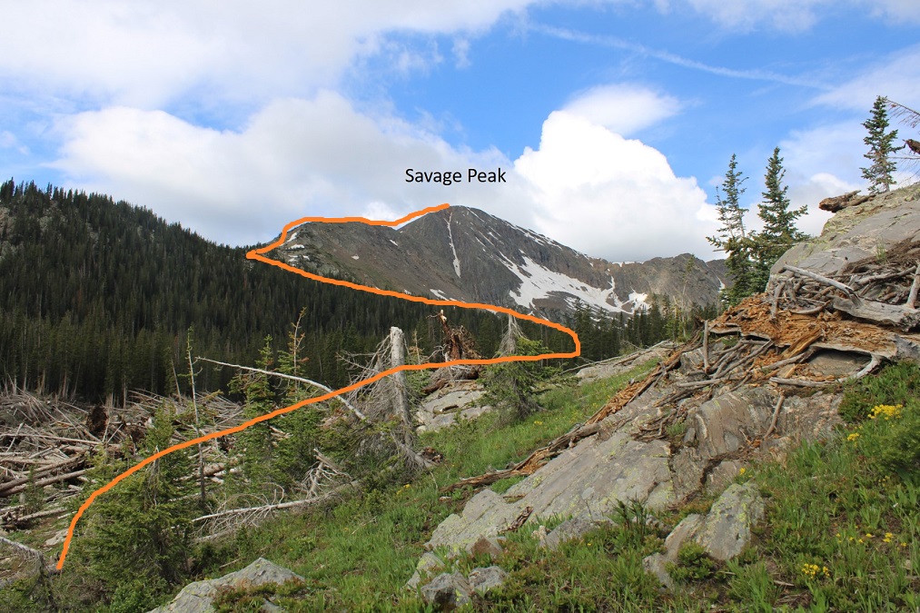
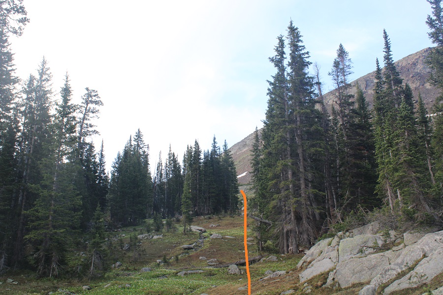
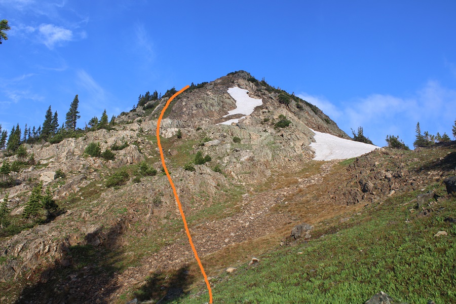
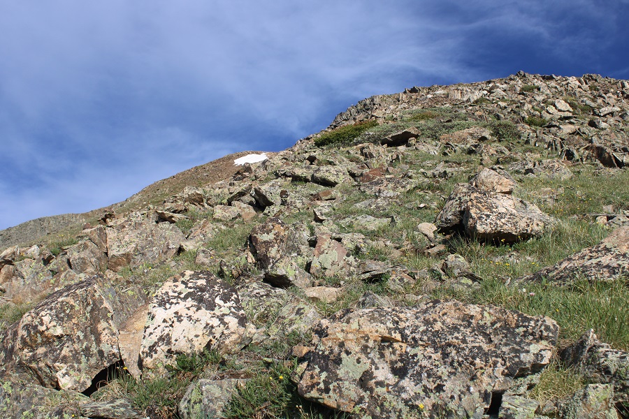
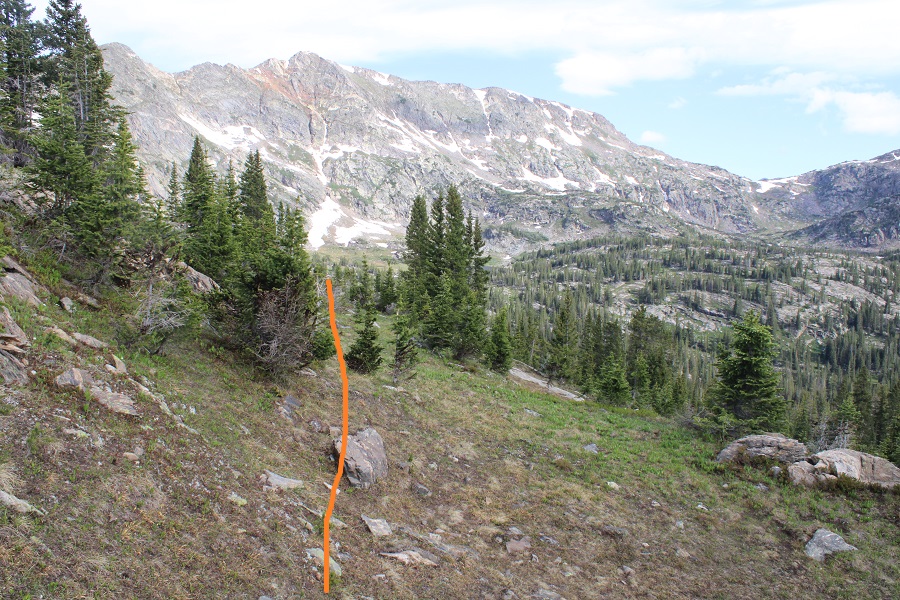
I continued following the well defined trail to 11330’, then left the trail to head south towards the ridge, aiming for a rocky ramp that hugged the side of the mountain.
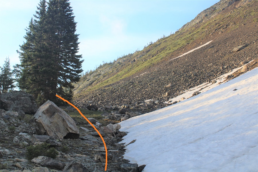
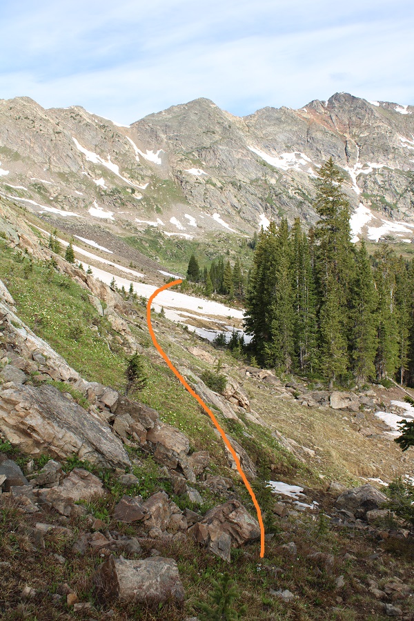
Once on the ramp, I followed it east to the base of the ridge.
At the base of the ridge I turned right, and followed the ridge west
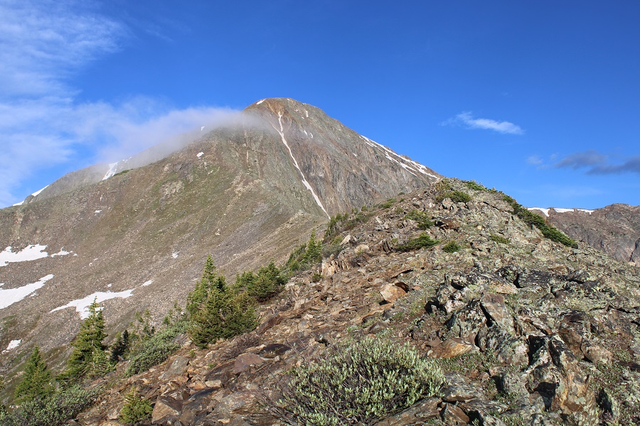
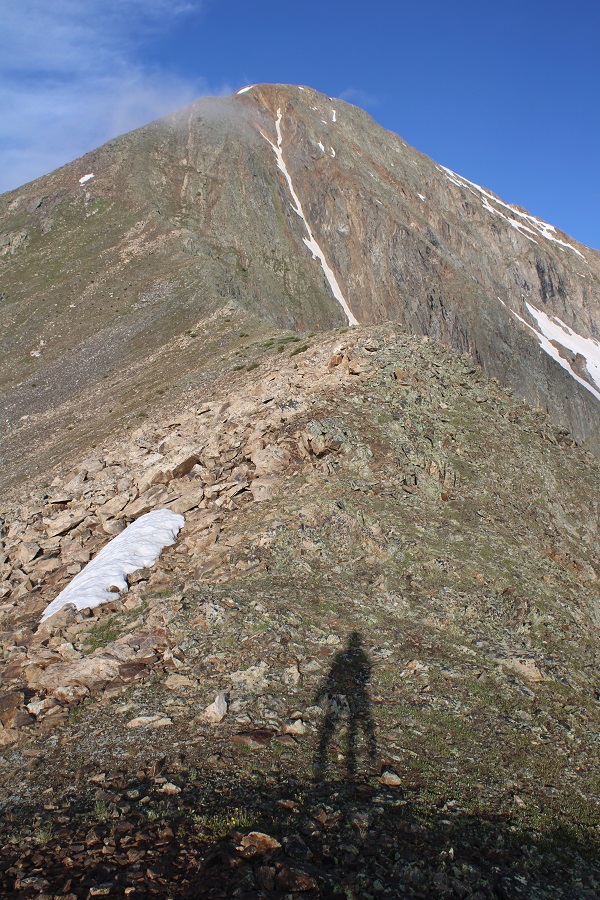
Here’s the first good view of Savage Peak
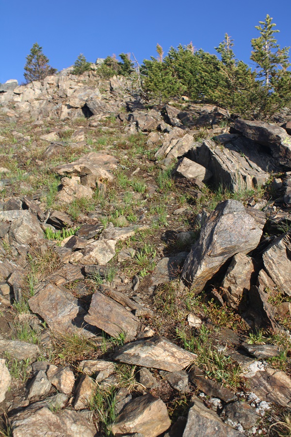
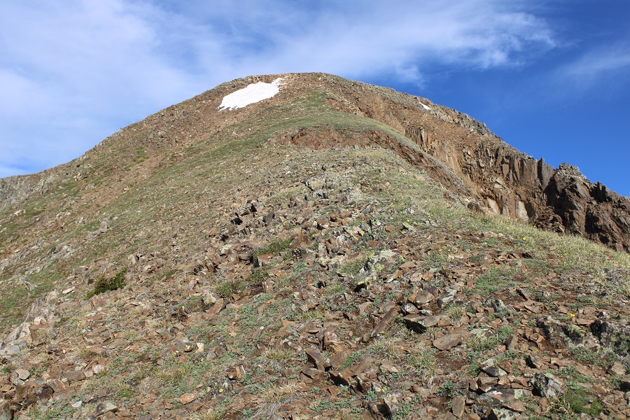
This is a simple, class 2 ridge hike to the summit.
There is a small false summit just before the true summit
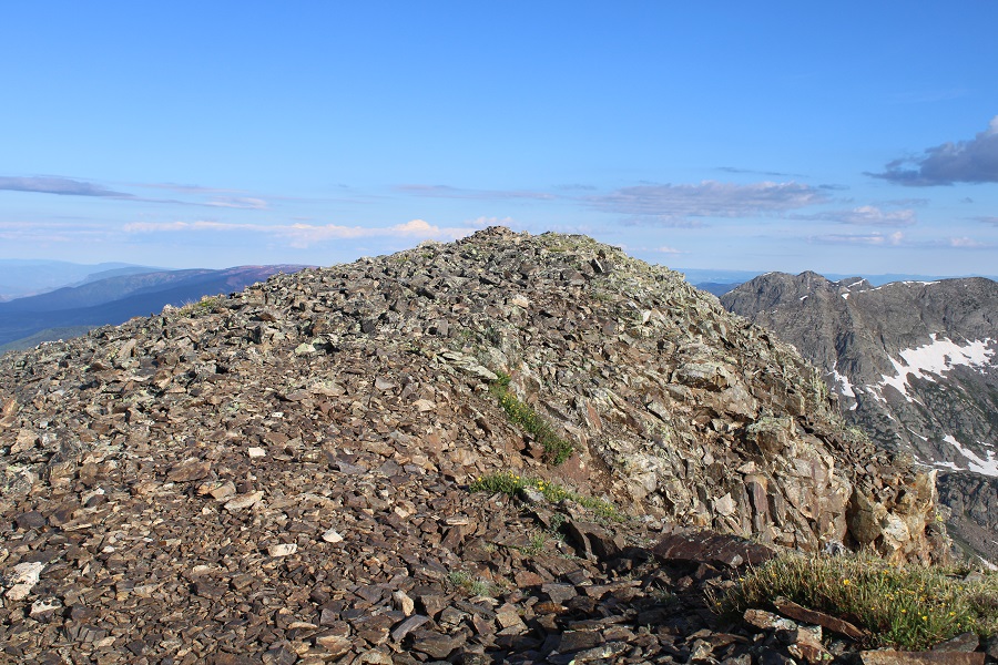
I summited Savage Peak at 7:40am
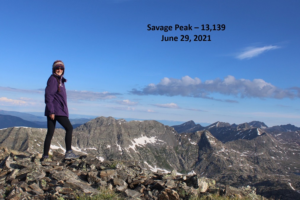
Savage Peak:
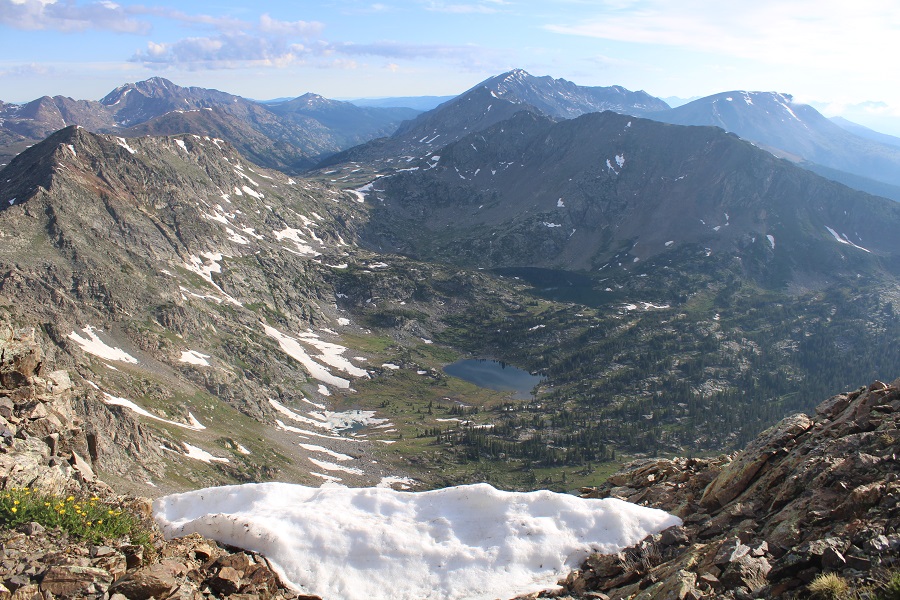
There were some great views of Missouri Lakes
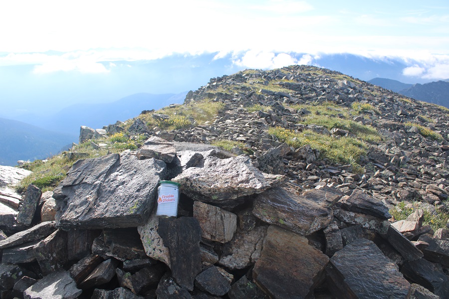
I left a summit register and headed back the way I’d come
Here’s a look down the ridge


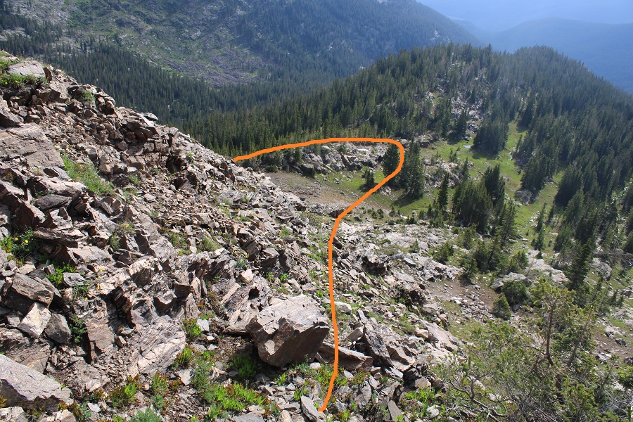
Here’s how I exited the ridge
And headed back into the basin
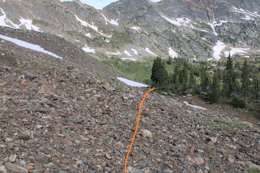
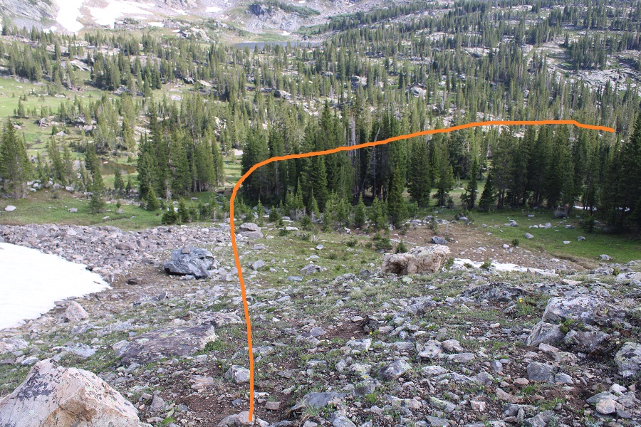
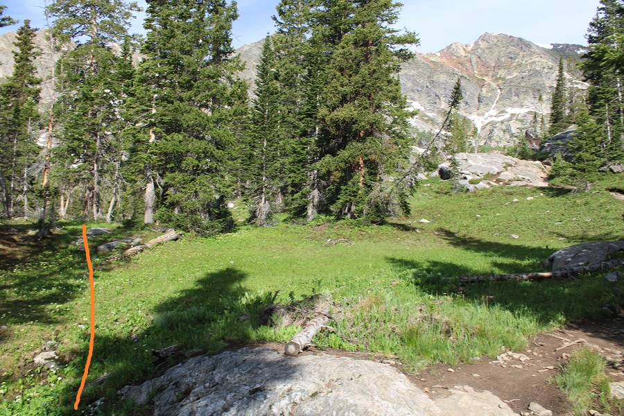
Back in the basin I headed northeast until I linked back up with the Missouri Lakes Trail.


And followed the trail back through the landslide area and across the bridges

Once back on the 4WD road I followed it back down to the stream, and my truck on the other side.
I made it back to my truck at 10am, making this a 9.24 mile hike with 3314’ of elevation gain in 5 hours, just as the storms were rolling in.
Now, off to visit some Hot Springs and get that back window fixed.
