RT Length: 5.97 miles
EG: 2381’
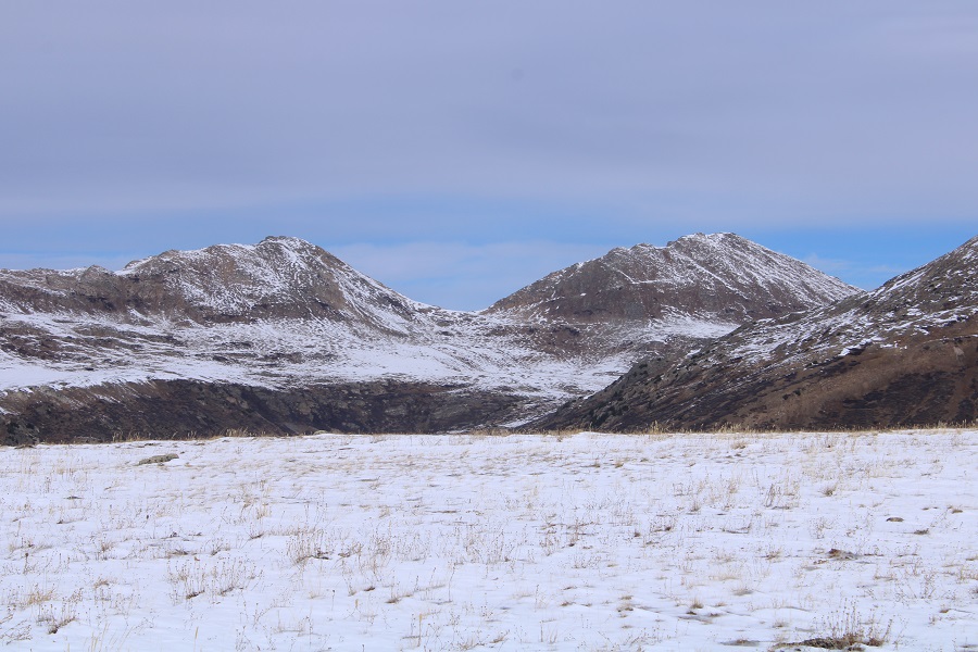
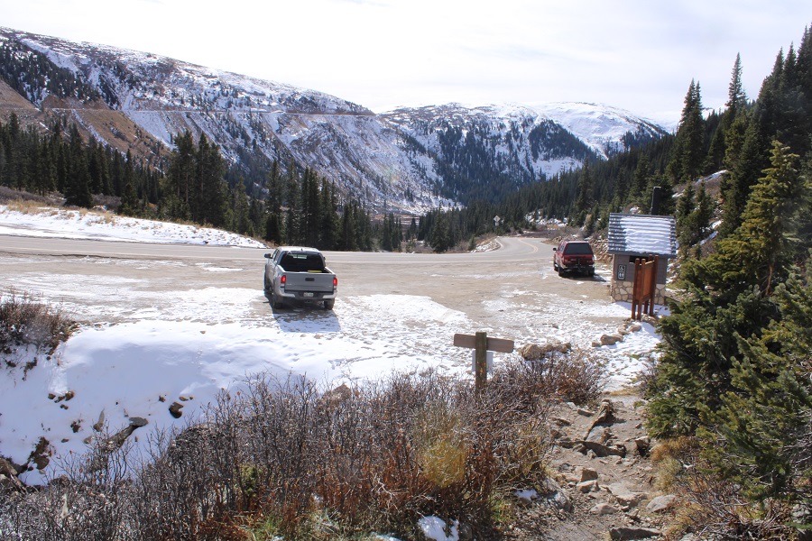
Independence Pass is still open, so I decided to try and get in a few peaks before it closes. I drove to the Independence Lake Trailhead the morning of the hike, instead of the night before: every time I drive by this trailhead at night I see porcupines (plural) underneath vehicles parked there. I wonder how many times hikers have returned to their vehicles to find chewed wires at this trailhead? This morning I was hoping it was cold enough, and late enough where they wouldn’t be out. There weren’t any other vehicles in the parking area, and no porcupines in sight.
I gathered my gear and was on the trail at 6am, headed north, following trail 1996. The moon was full, so it was easy to navigate without a flashlight.
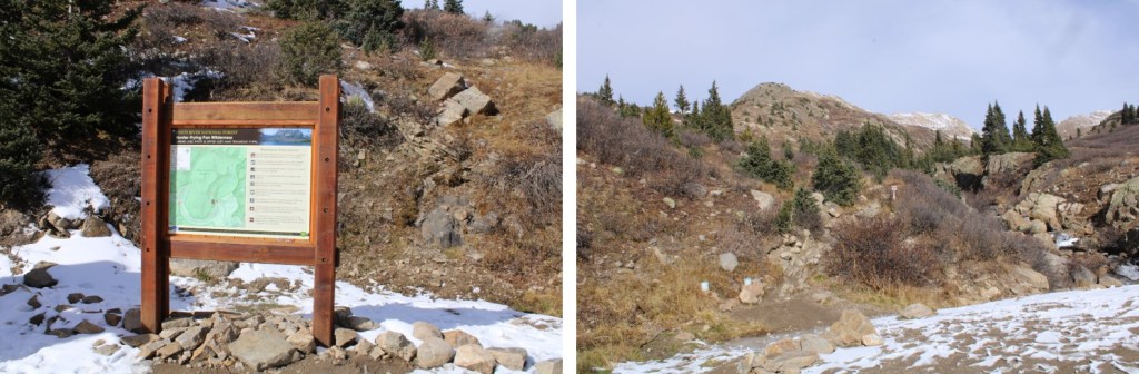
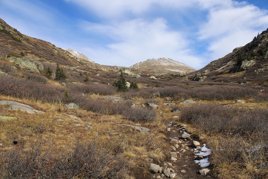
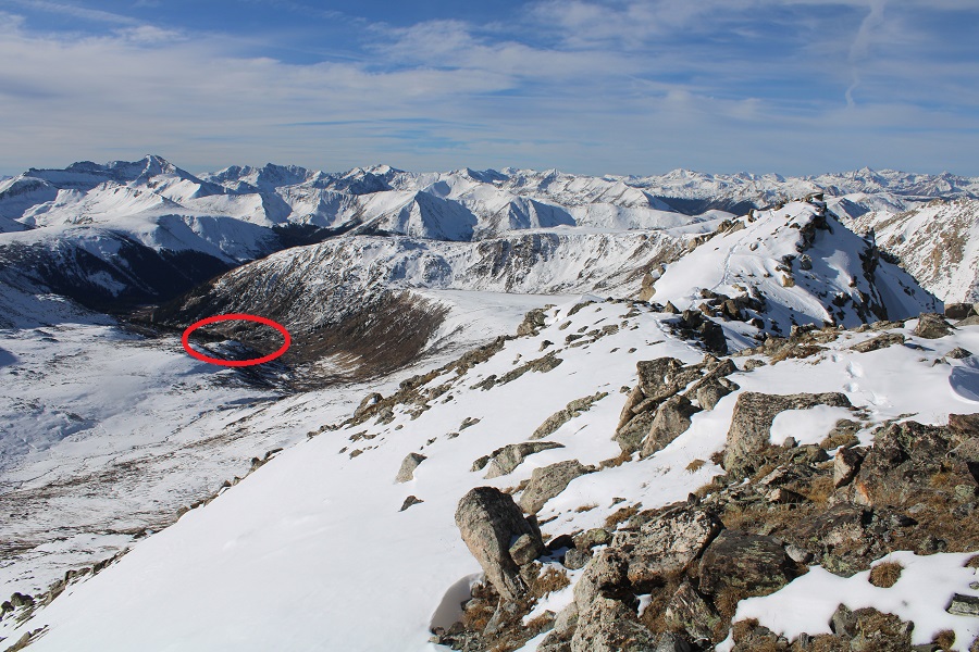
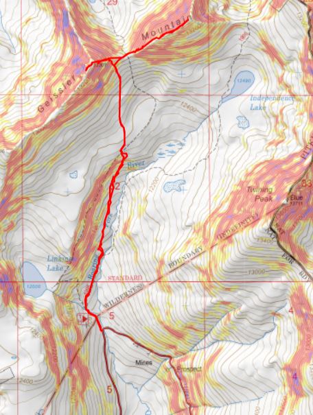
I followed this class 1 trail for just over half a mile before leaving the trail to head north. Here’s an overview of my route.

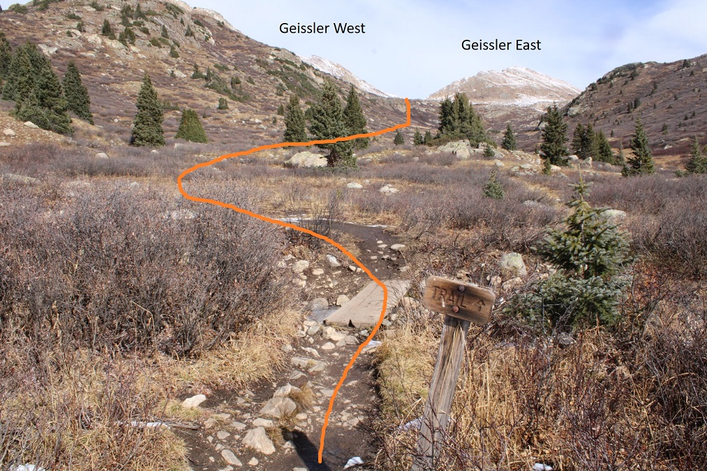
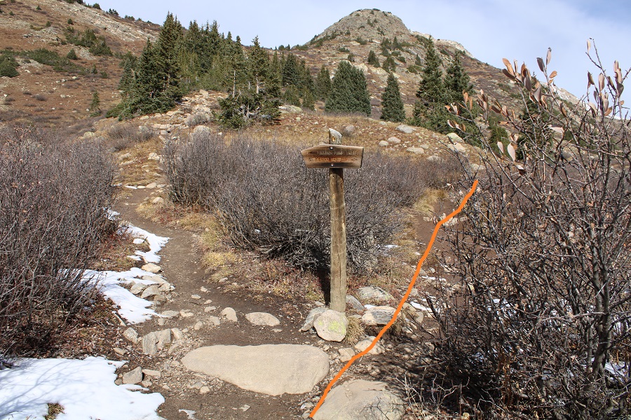
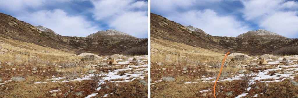
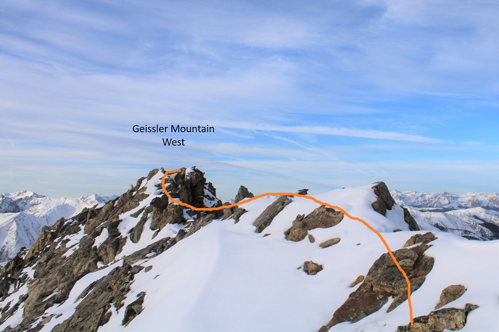
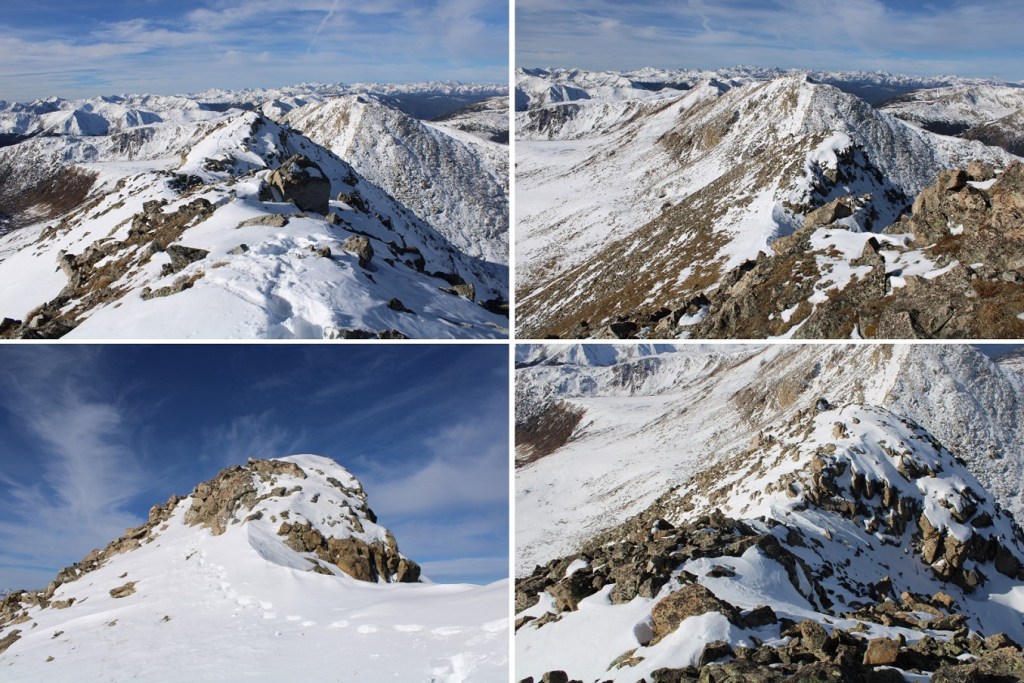
Here are some closer pictures of the route up to the Geissler West/East saddle. I went right at the only junction
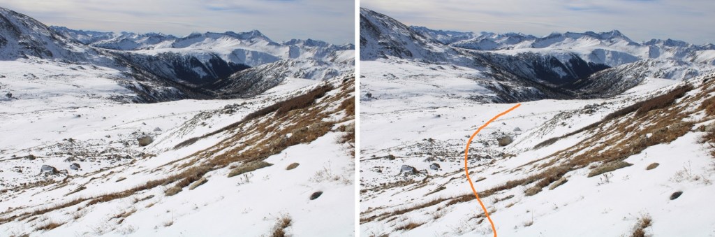
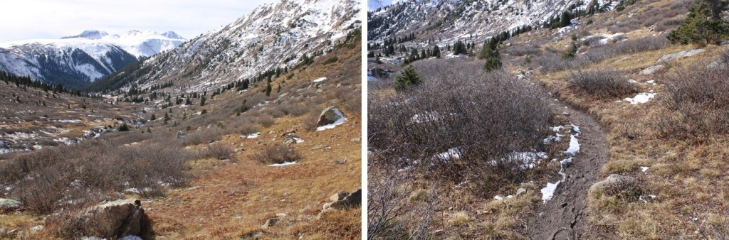
After half a mile of hiking I left the trail and continued heading north, easily avoiding the willows by staying to the west
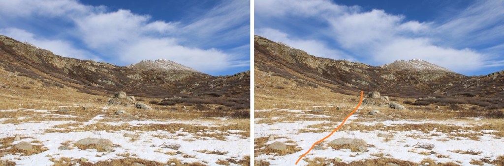
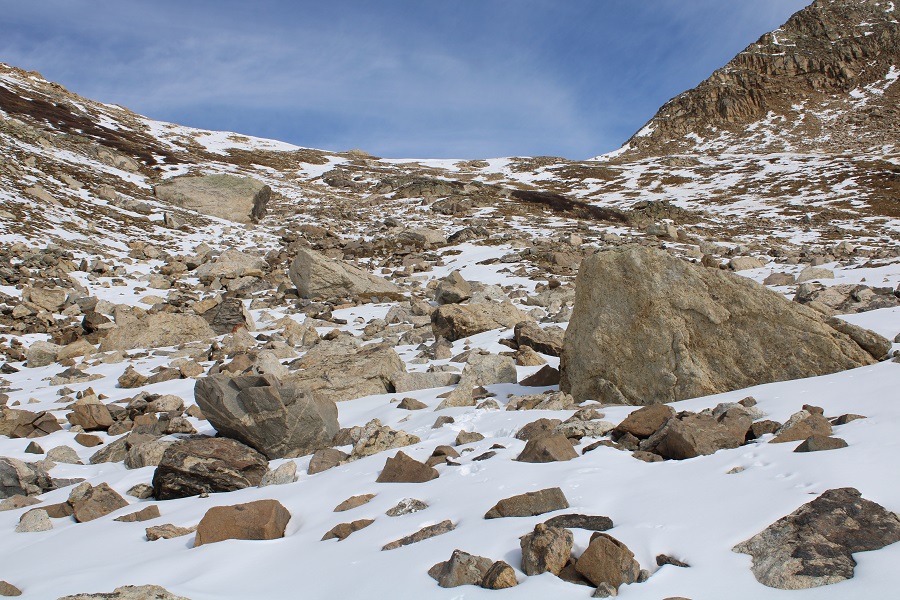
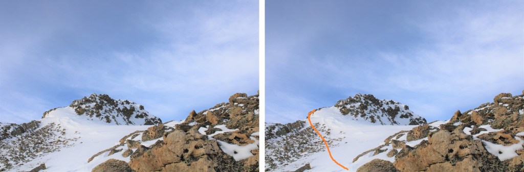
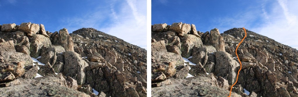
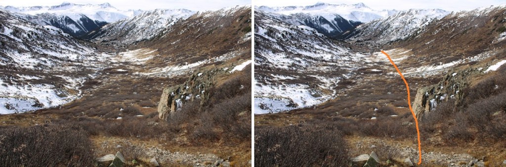
As I neared the back of the basin, I ascended by hugging a rock outcropping and drainage
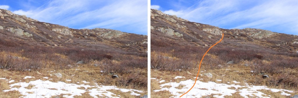
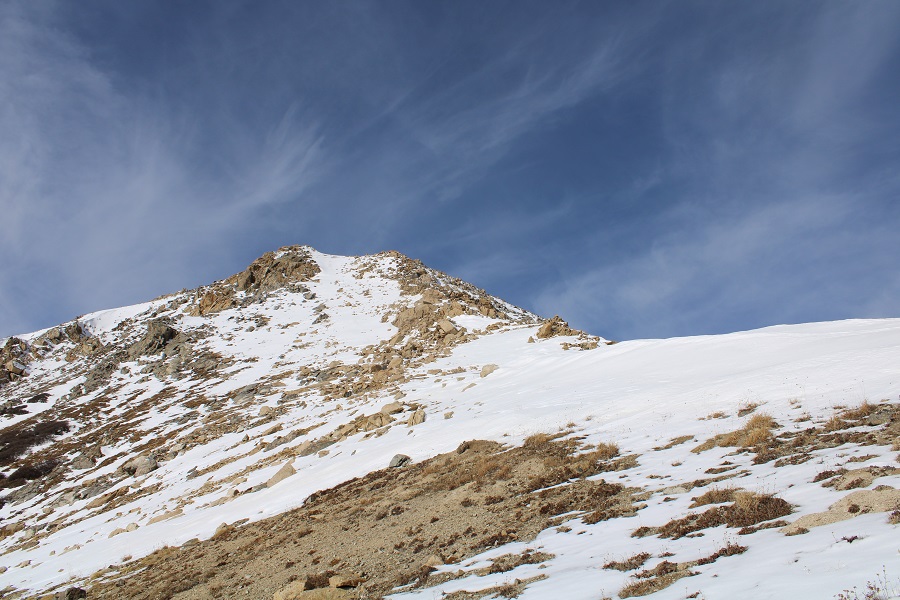
And then made my way towards the Geissler West/East saddle. I actually stayed a little to the left to avoid snow, and because I was hiking Geissler West first

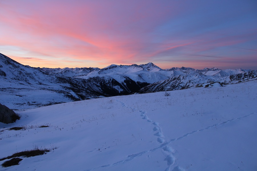
Right about now the sun was beginning to rise from behind me. I love alpine sunrises!
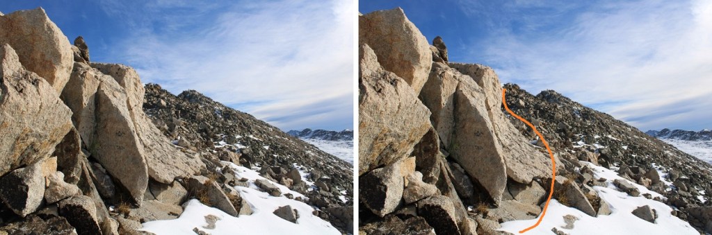
I continued heading towards the saddle
Once at the saddle, I then turned left, and was surprised at how much snow there was on the ridge to Geissler Mountain West.
I would have liked to have taken the gully to the summit, but the snow as sugary and unconsolidated, and above my waist in places, making my ice axe and spikes useless, so I took the ridge. This posed its own set of challenges, as the snow on the ridge was either covering the rocks, or covering the voids. It was “choose your own adventure” to find out which. There was some class 3 scrambling here, but I was able to take the ridge proper.

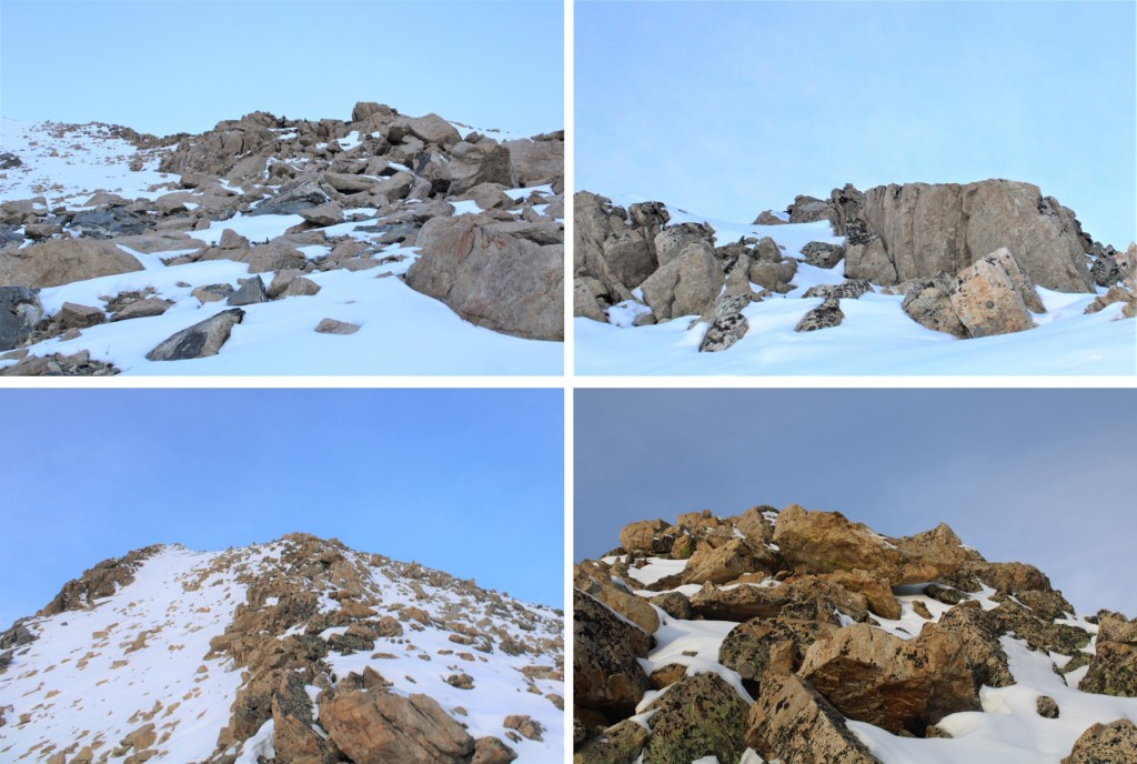
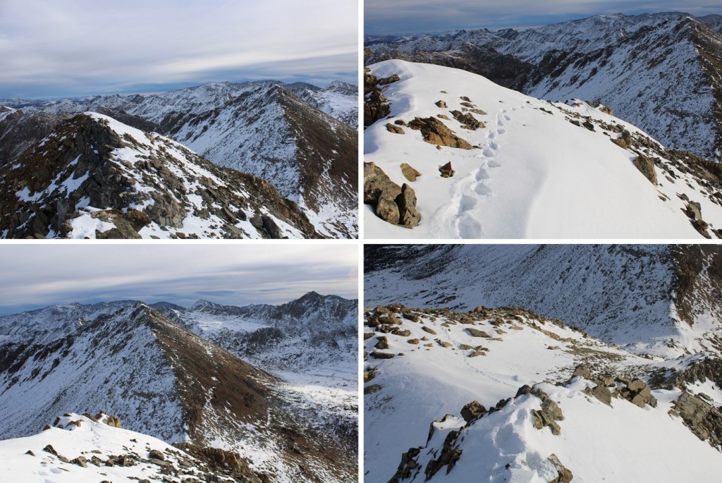
Here are some pictures of the ridge
Once at the top of the ridge I needed to head west towards the summit. The snow here was up to my waist. I headed towards the next ridge
I gingerly climbed up this ridge, once again, staying directly on top of the ridge. This was class 3 as well.
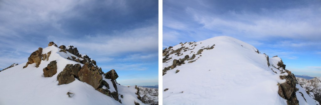
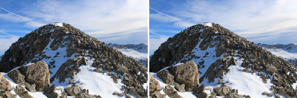
Only to find it was a false summit! Here’s the true summit of Geissler Mountain West
I dropped my gear and just brought my camera with me, climbing over the snow and then hand-over-fisting it on the rocks to the actual summit. This was class 3 with some exposure. I didn’t take the snow because it was an unconsolidated drift, with a lot of voids to twist an ankle, sink up to my chest, or worse
I summited Geissler Mountain West at 8:25am
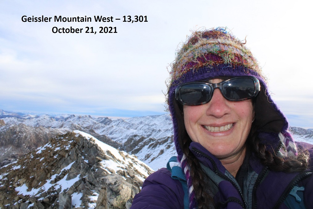
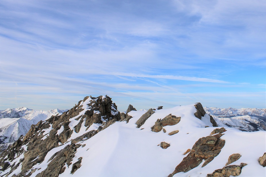
Geissler Mountain West:
I followed my tracks back to the Geissler West/East saddle
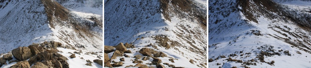
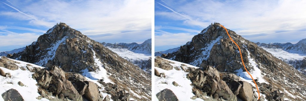
Now to head up towards Geissler East. Spoiler alert: there are several false summits. Also, once I could no longer stick to the ridge, I went right, and kept going right, hugging the south side of the mountain
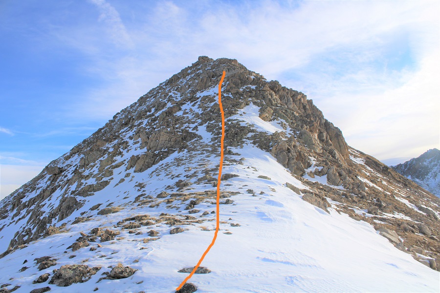
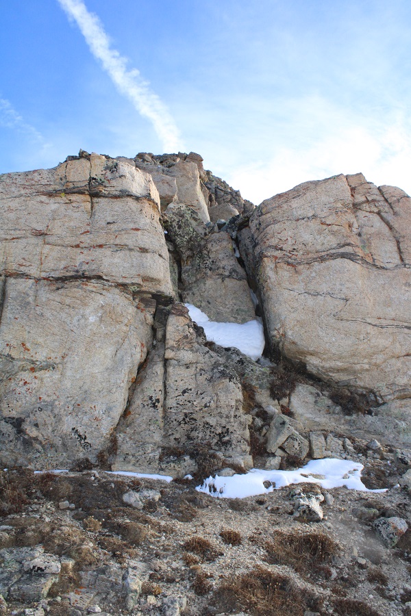
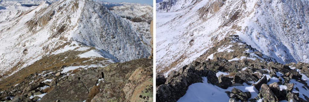
This ridge is mainly class 2, with a few class 3 moves sprinkled in. The class 3 moves probably could have been avoided, if there hadn’t been snow. Here are some pictures of the route


Remember, there are a lot of false summits… and keep heading right


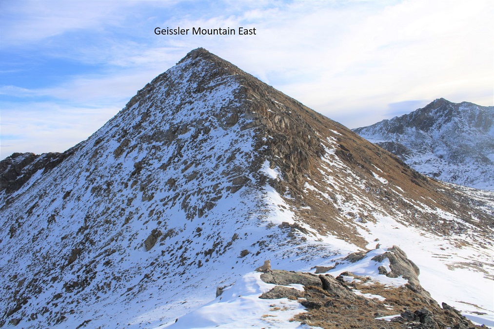
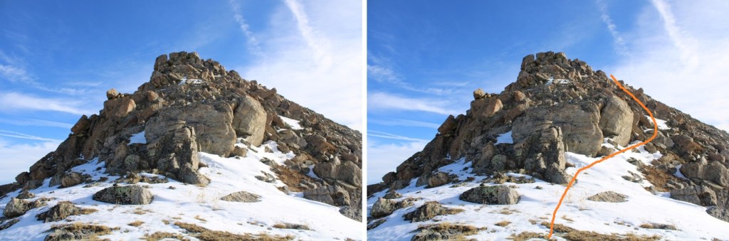
And finally! The true summit!

I summited Geissler Mountain East at 9:30am

Geissler Mountain East:
From the summit I could see the trailhead
I decided to re-trace my steps back to the saddle. This was easy, as I just followed my footprints.
And from the saddle I made my way back down into the basin, once again, following my tracks (I love that snow allows the re-tracing of steps to be so easy!)
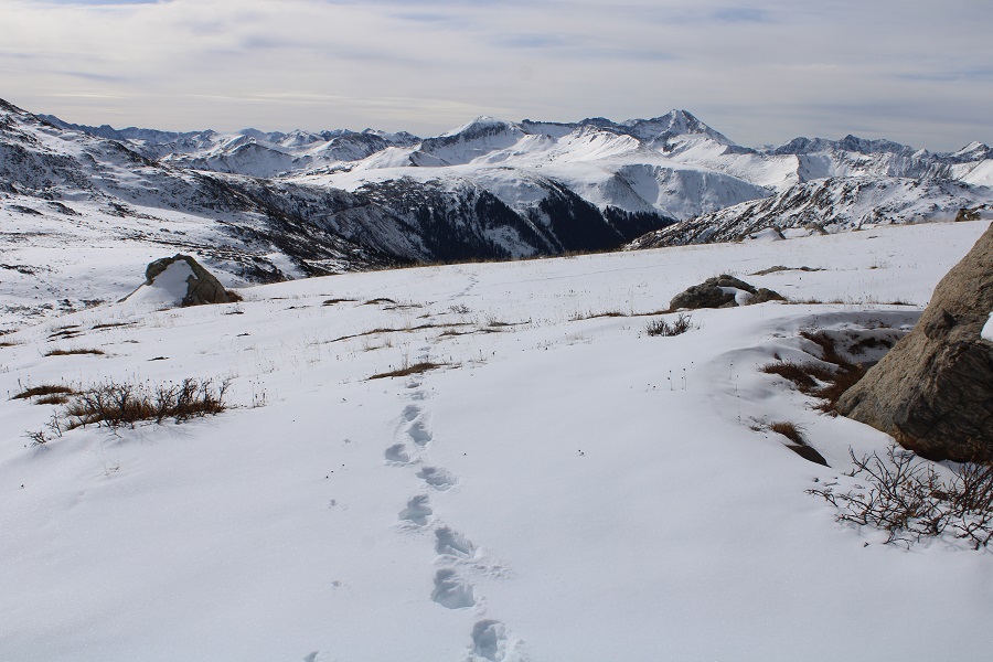
Back down to the willows, and eventually the trail
I made it back to my truck at 11am, making this a 5.97 mile hike with 2381’ of elevation gain in 5 hours.
On to the next trailhead!
