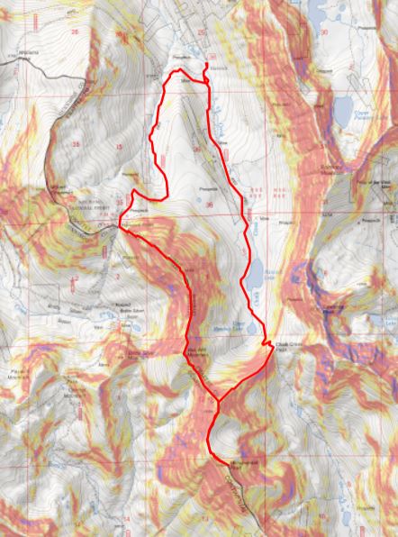
RT Length: 10.27 miles
Elevation Gain: 3629’
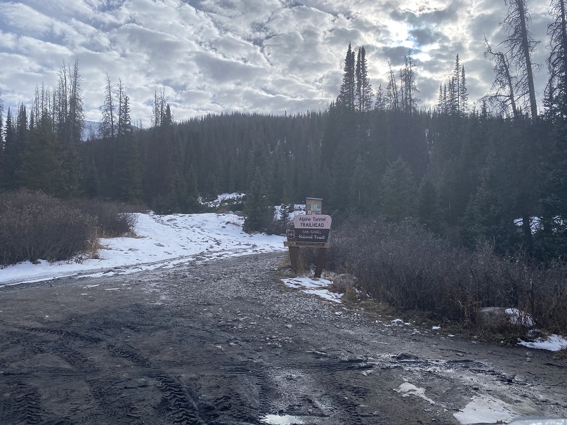
This was my first time at Hancock Ghost Town. There wasn’t much to it… but there was good parking and the 4WD road looked doable in a 2WD, even in snow. There was a lot of ice/snow on the road, but that was to be expected for this time of year. There was an abandoned RV parked with “No Trespassing” signs just before the parking area. I’m sure the signs were more to protect the mining claim behind the RV than the RV itself, which was missing several windows and looked occupied by wildlife. Due to the ice and snow, it was also muddy, so I decided not to park at the Alpine Tunnel Trailhead, but at the parking area just before the bridge, where there was less mud.
I got to bed quite early, and woke up to my alarm at 6am. I was surprised I hadn’t been cold, considering it was 22 degrees outside when I woke up and there was a layer of frost on my windows. I ate breakfast, gathered my gear, and was on the trail at 6:30am.
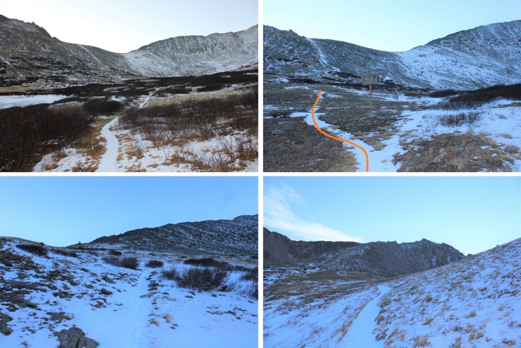
I was following Road 295 south, towards Hancock Lake. It was dark out, but there was a full moon and the road was easy to follow. I just had to watch out for ice.
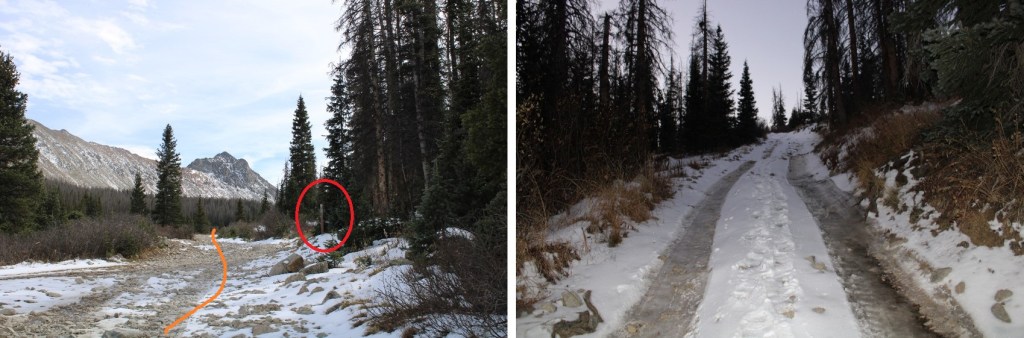
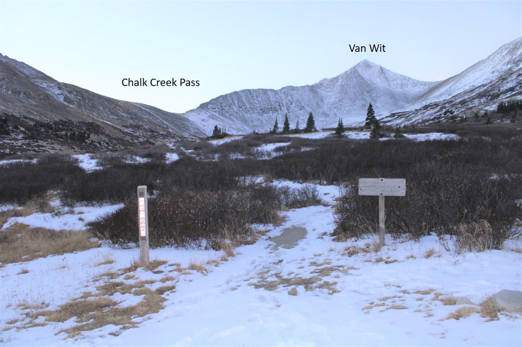
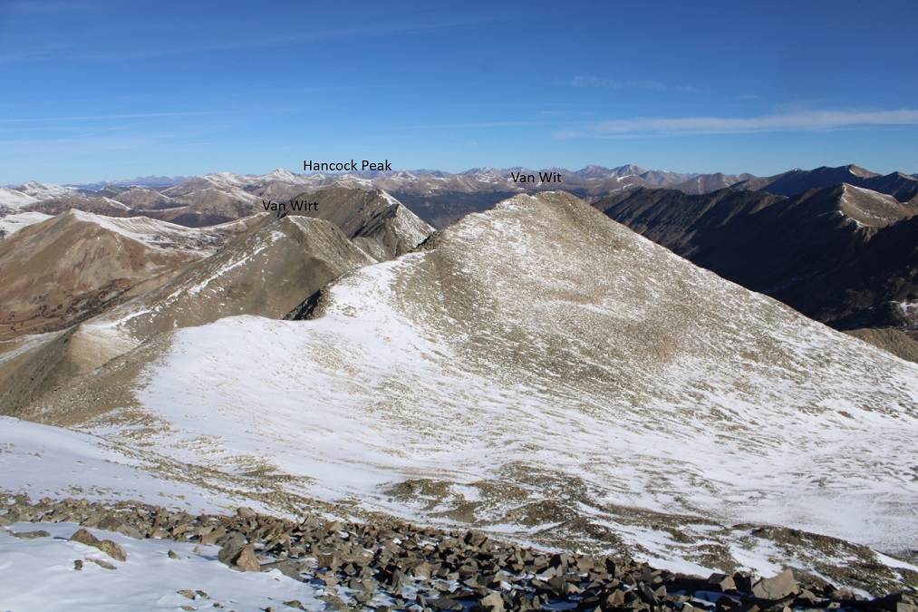
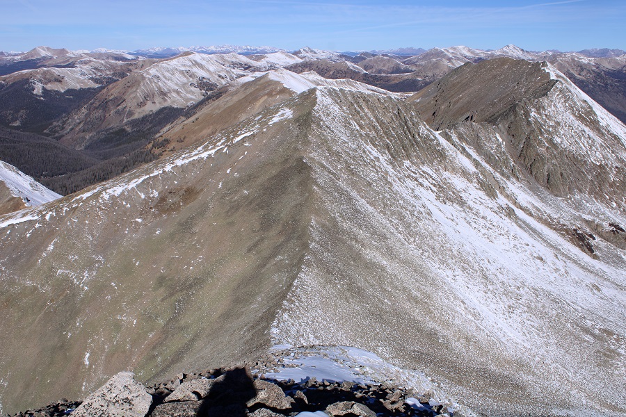
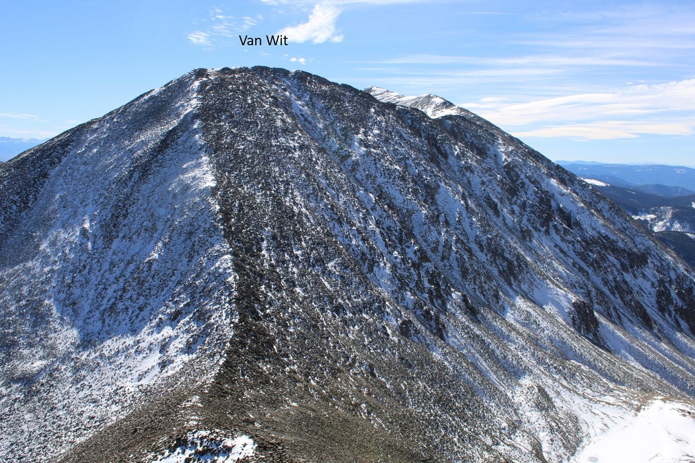
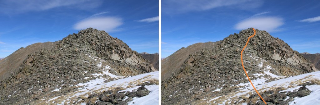
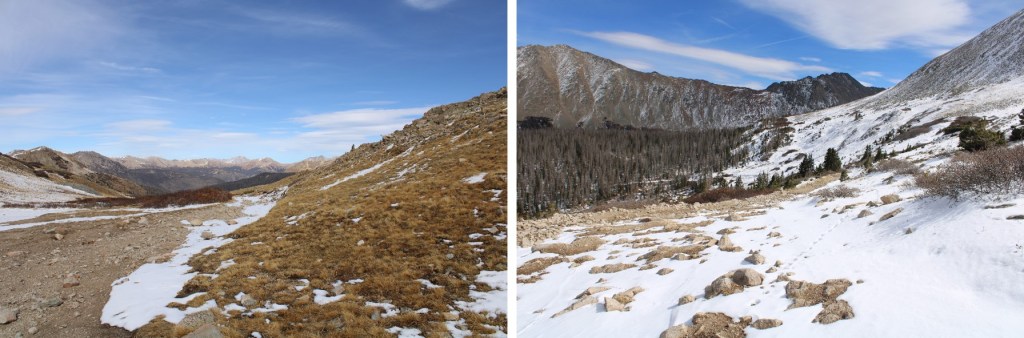
After hiking for 1.6 miles, I made it to Hancock Lake, where the road ended and I picked up trail 1422, skirting the lake to the west, before following the trail east up Chalk Creek Pass. Here the footprints and tire tracks ended, and I was now making my own tracks in the snow. I kept thinking what a wonderful basin this would be for a moose, when I came across some moose tracks. The tracks were facing the opposite direction, so I knew running into a moose was unlikely. I followed them all the way over Chalk Creek Pass. This is a good view of the hike to the pass, and the ridge to Van Wit.
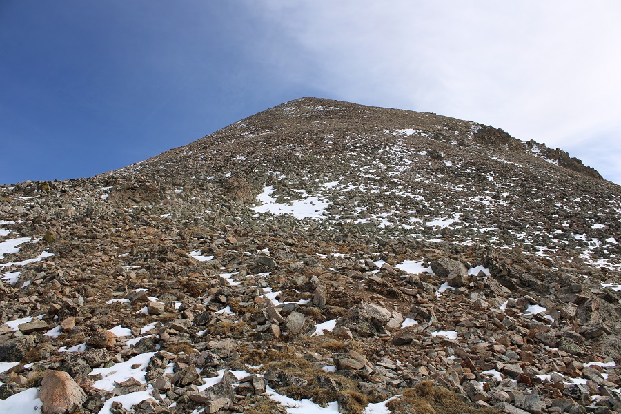
Here’s the route up to the pass, all class 1, sprinkled with snow. At the junction, take the trail that goes left, towards Chalk Creek Pass.

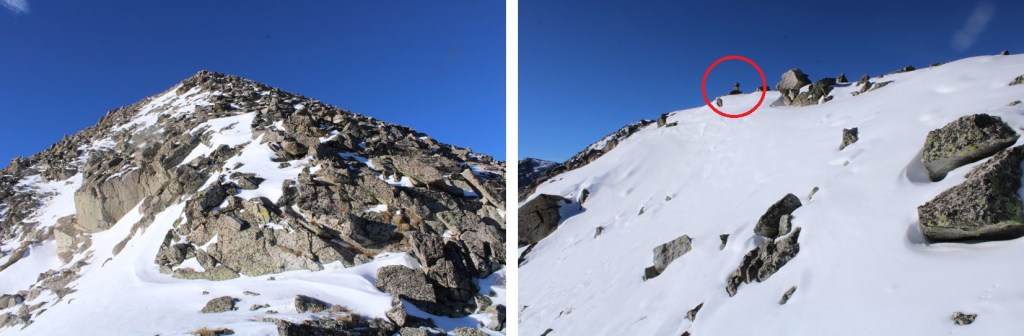
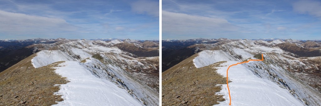
At the pass I turned right, and headed southwest along the ridge.
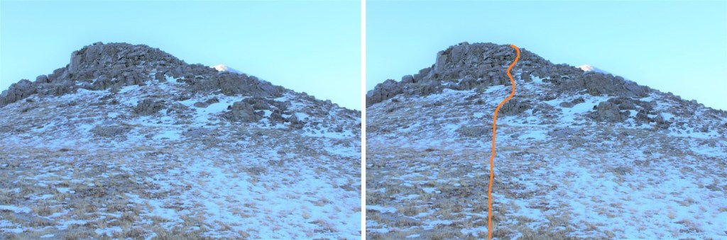
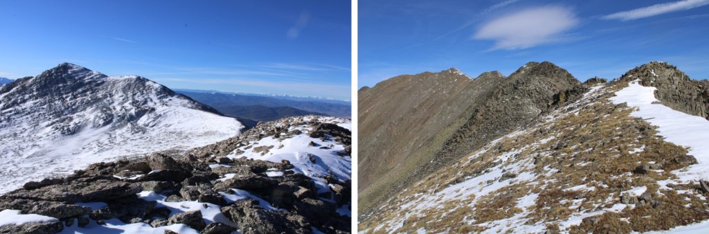
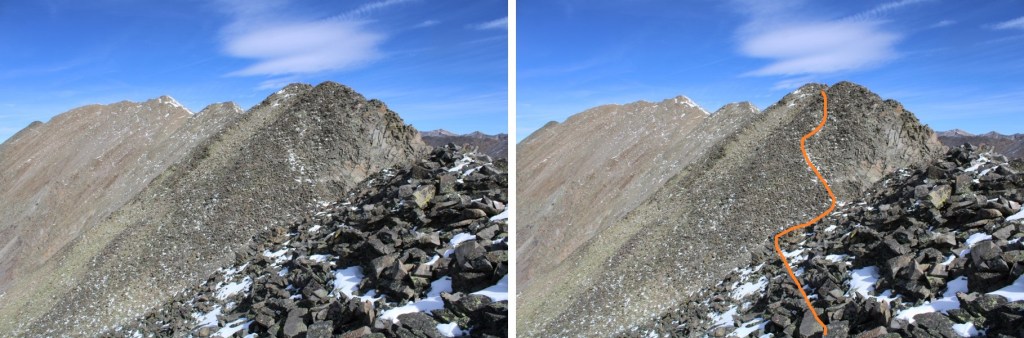
This is normally a class 2 ridge, but today, due to the snow, there were class 3 areas (on all the ridges with snow today). I continued following the ridge, being mindful of loose rocks and voids beneath the snow. From the ridge I had great views of all 4 peaks I’d be climbing today
I stuck to the ridge proper, dipping to the right only when necessary
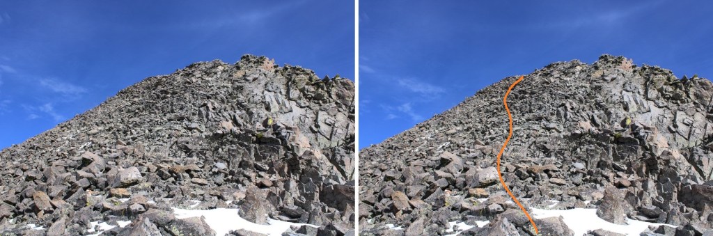
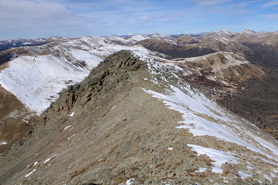
Topping out of the ridge there was some snow to deal with, but a cairn leading the way
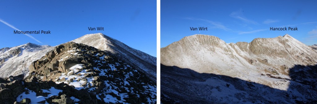
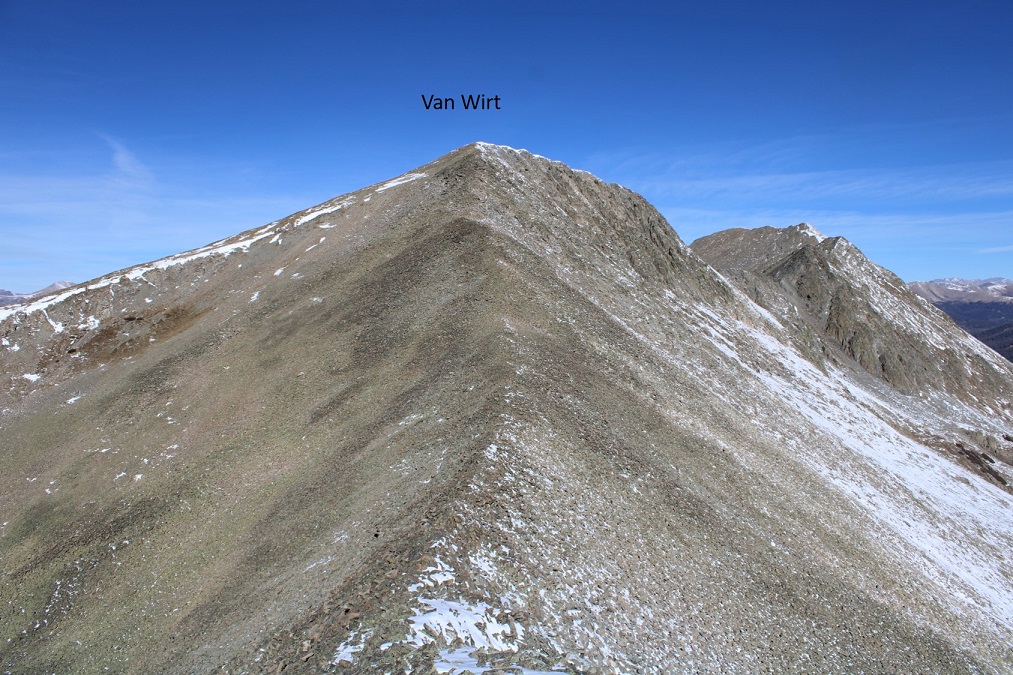
I turned left and followed the ridge south, towards an obvious cairn indicating the summit of Van Wit
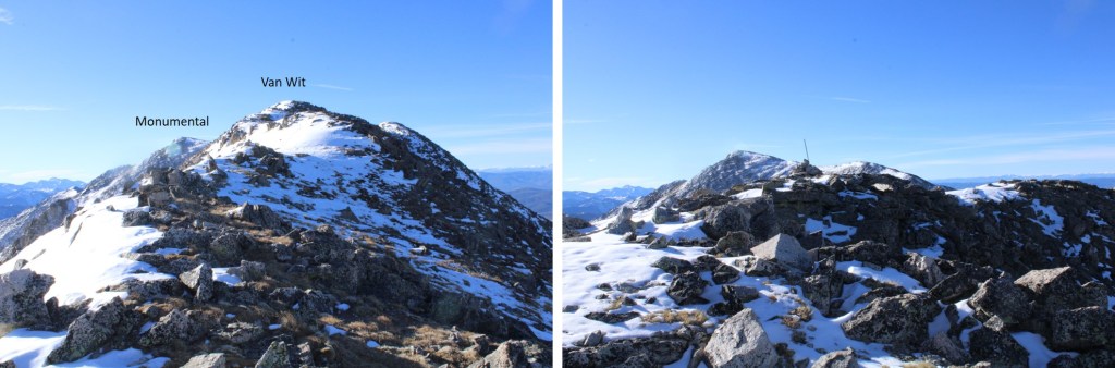
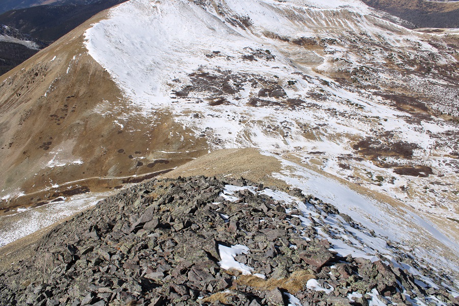
I passed the cairn indicating I was at the unranked summit of Van Wit, and continued following the class 2 ridge towards Monumental Peak
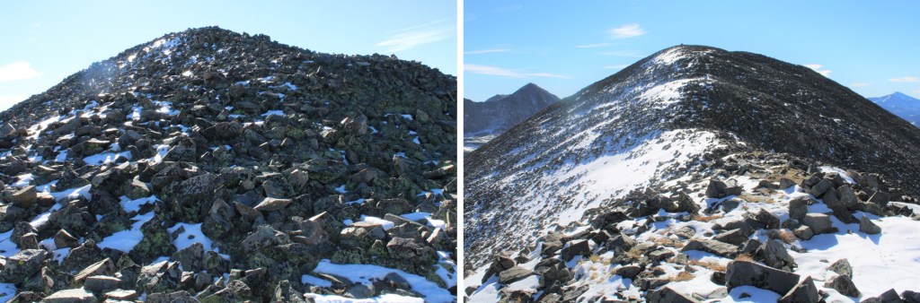
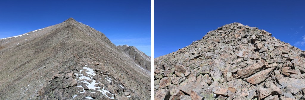
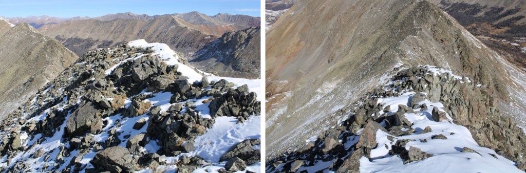
Here are some pictures of the rocky ridge

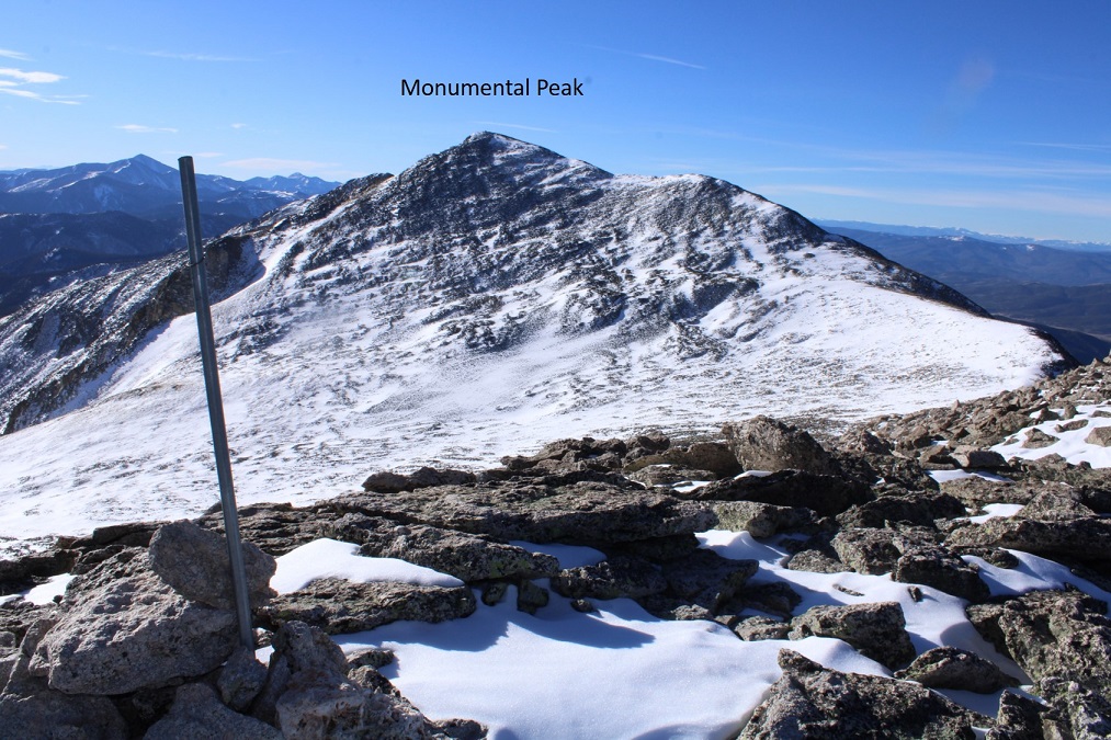
I summited Monumental Peak at 9:30am
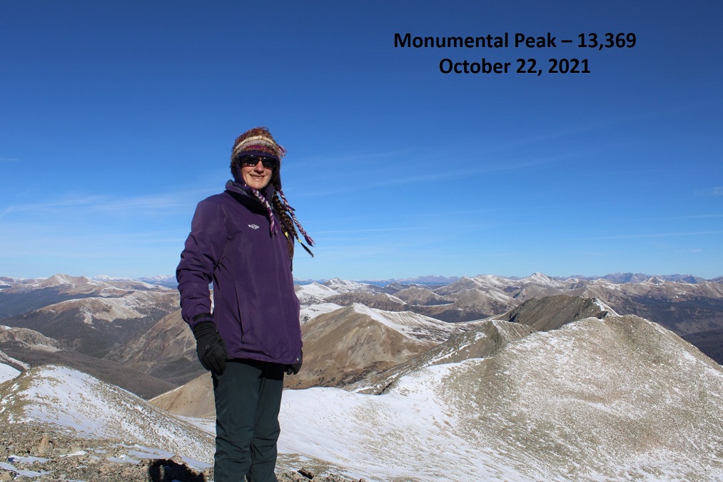
Monumental Peak:
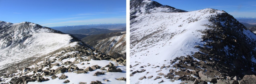
I re-traced my steps back to Van Wit, following the ridge and my tracks in the snow.
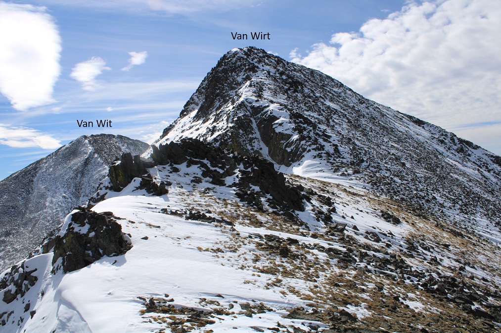
Back at the summit of Van Wit, I now followed the ridge northwest, towards Van Wirt. Due to the snow, this was class 3. I took a lot of time carefully navigating the rocks and snow on the way down, losing about 620’ of elevation.
From the Van Wit/Van Wirt Saddle, here’s looking up at Van Wirt
The ridge up to Van Wirt was rocky, but easy to navigate, especially without snow. I just followed the ridge, gaining about 375’ in elevation
From the summit of Van Wirt, here’s looking back at Van Wit
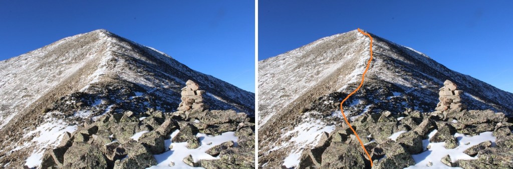
And now, to head over to Hancock Peak. Here’s the actual summit (you’ll know it because it has a cairn, and it’s in the middle of the upper, long ridge)
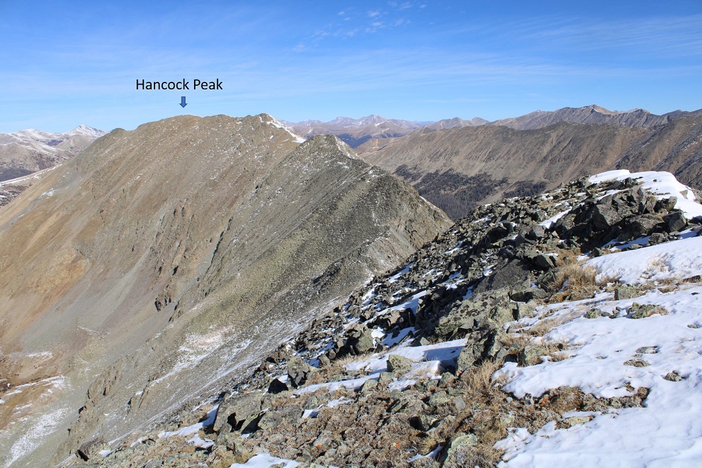
I followed the ridge north, losing about 275’ in elevation towards the Van Wirt/Hancock Peak saddle, once again, being careful where I placed my feet with the rolling rocks and snow (all still class 2).
At the saddle I saw recent tracks from an adventurous fox, who decided to go down the gully this morning towards Hancock Lakes

Here’s looking back at Van Wirt
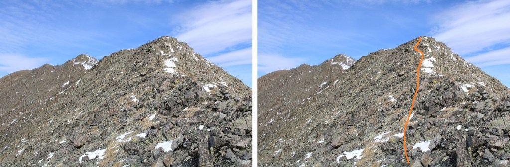
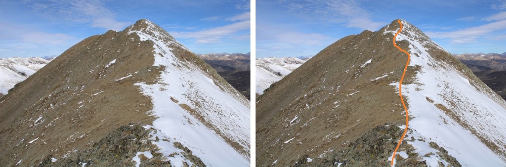
And now, to regain 375’ to the summit of Hancock Peak. This was rocky, but I was able to follow the ridge directly, keeping it difficult class 2
Here I went a little left, but could have gone straight over the top.
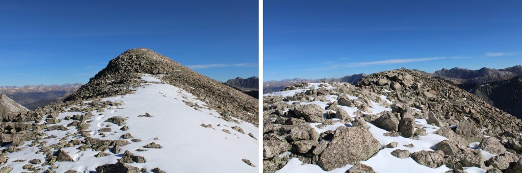
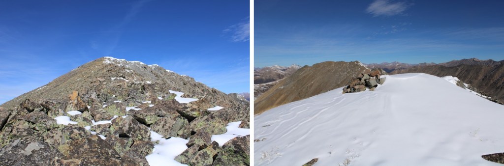
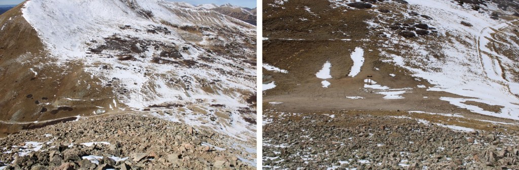
More ridge photos…
I crossed directly through the snow, which wasn’t as bad as it looked (note, this is a false summit)
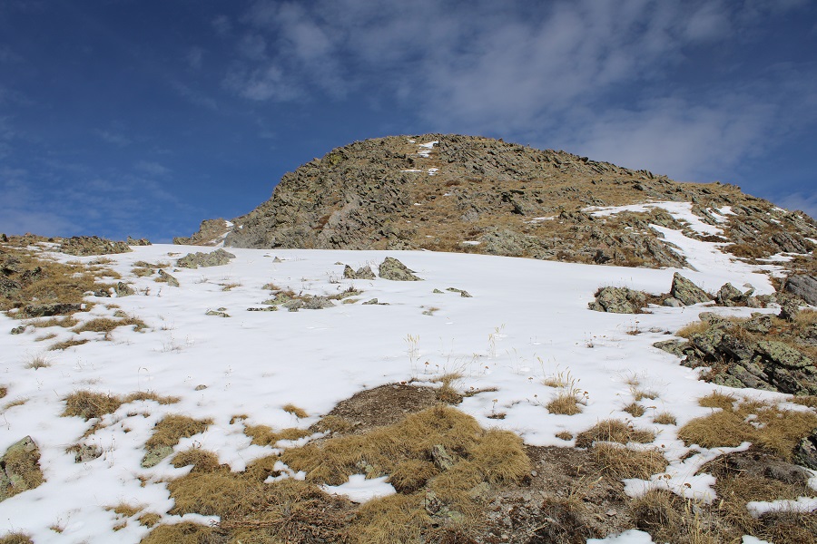
Once at the top of this point, I could see the true summit to the northwest. You guessed it: I followed the ridge

I summited Hancock Peak at 12:30pm
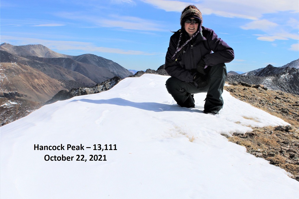
Hancock Peak:
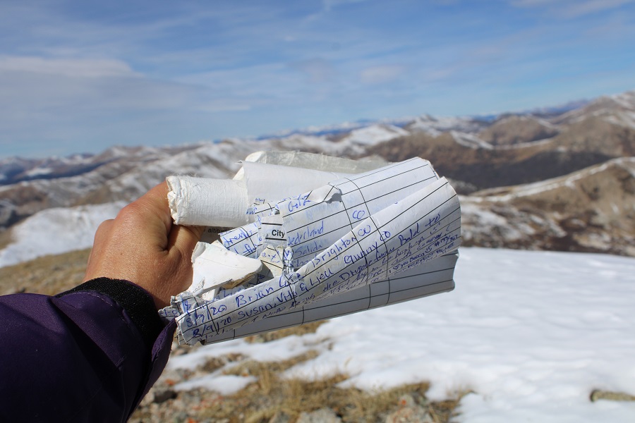
There was a torn-up summit register hidden in the cairn. The last person to sign was here over a month ago.
I was making this a loop, so I continued following the ridge northwest
I was headed towards Hancock Pass. At the end of the ridge, just before losing elevation, you can see the pass
I descended towards Hancock Pass, losing 850’ of elevation on rocky and scree filled terrain
From the pass, here’s looking back up the ridge
I turned right, and followed Road 299 for 2.5 miles back to the trailhead.

About halfway back I came across moose tracks again, headed up the pass. That moose was moving! It looked like he was just passing through after the storm, and did so quickly.
I made it back to my truck at 2pm, making this a 10.27 mile hike with 3629’ of elevation gain in 7.5 hours.
On to the next trailhead!
