
RT Length: 12.21 miles
Elevation Gain: 5049’
I was in a hurry today: I offered to help a Girl Scout Brownie troop (7–9-year-old girls) earn their hiking badge, and I needed to be home in time to meet them at the trailhead for their hike this evening. So, while I’d initially wanted to make this a loop with some other peaks, I settled for just doing Mt Owen today.
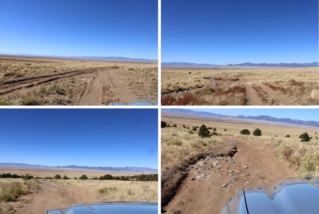
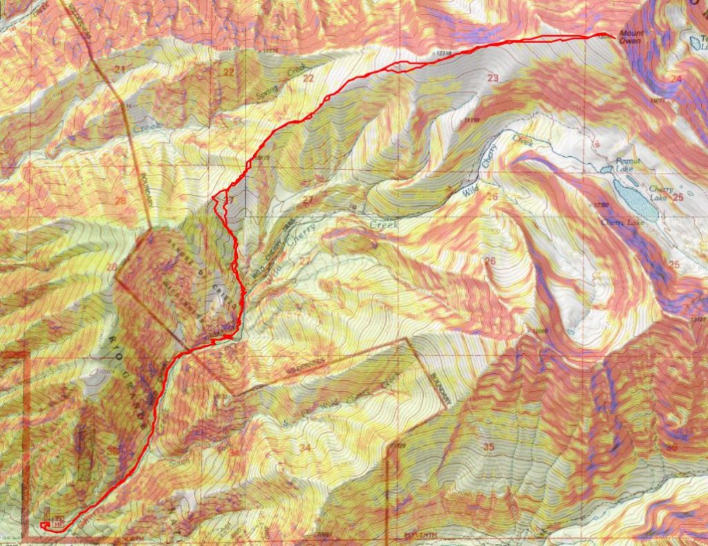
I drove to the Cherry Creek Trailhead, and was surprised at the condition of the road. The last 2 miles is certainly 4WD. I drove to the trailhead in the dark, and the first area of sand caught me by surprise. It had my tires spinning until I put my truck into 4WD. I backed up and took the side road. There are at least 3 different side roads off the main road that look relatively new. If you have the option, take the newer road, as the older road has been washed out and this is the workaround. They always re-connect.
I gathered my gear, set my ‘halfway point’ alarm so I wouldn’t be late to my event tonight, and I was on my way. There was a Subaru parked skewed in the parking area with a couple of boondockers, so I was doing my best to be quite as I made my way towards the trailhead.
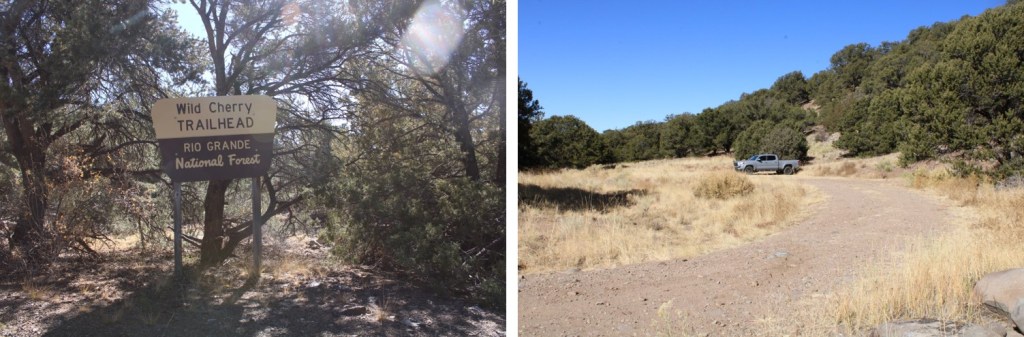
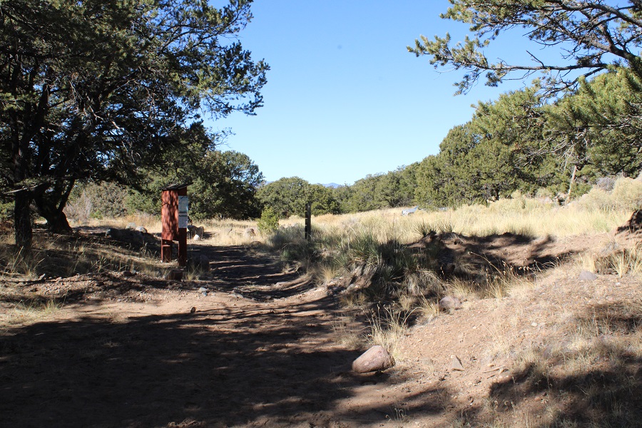
The trail begins at the east end of the parking area, and is very well marked. There’s a place to register, so I tried, but the pen was frozen and there wasn’t a pencil, so what I wrote only showed up as indentations on the paper. If you do this hike soon, it’d be nice if you dropped off a pencil…

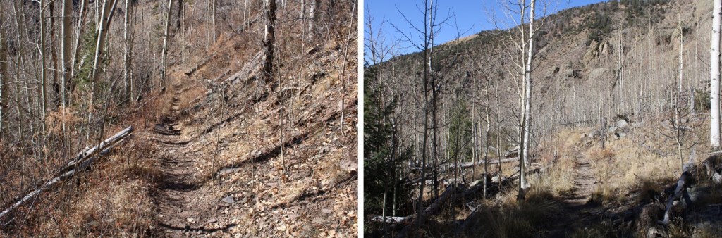
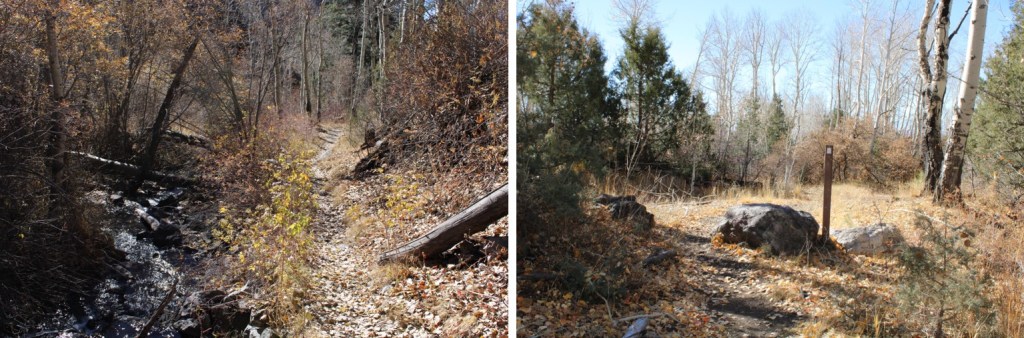
I followed the class 1, Wild Cherry Trail for 2.5 miles as it paralleled Wild Cherry Creek and the started to switchback northeast, skirting the mountainside.
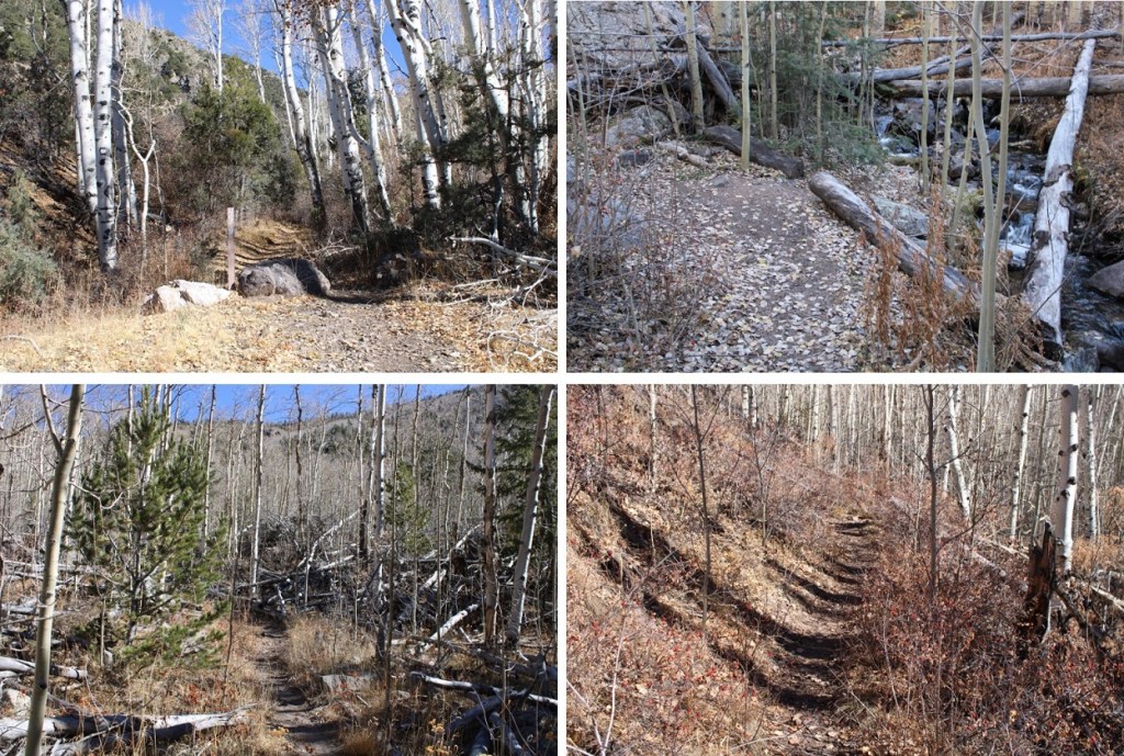
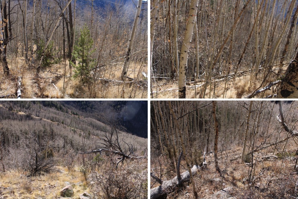
After 2.5 miles, at the middle of the last switchback, I left the trail and followed the drainage north to the ridge. I stayed to the left of the drainage, but in the daylight, on the way back down, I realized it would have been much easier to stay to the right, on the tundra and grass instead of in the trees. The bushwhacking wasn’t too difficult here, but there were a ton of downed trees, especially directly in the drainage.

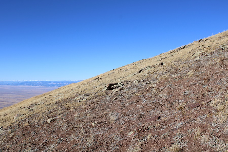
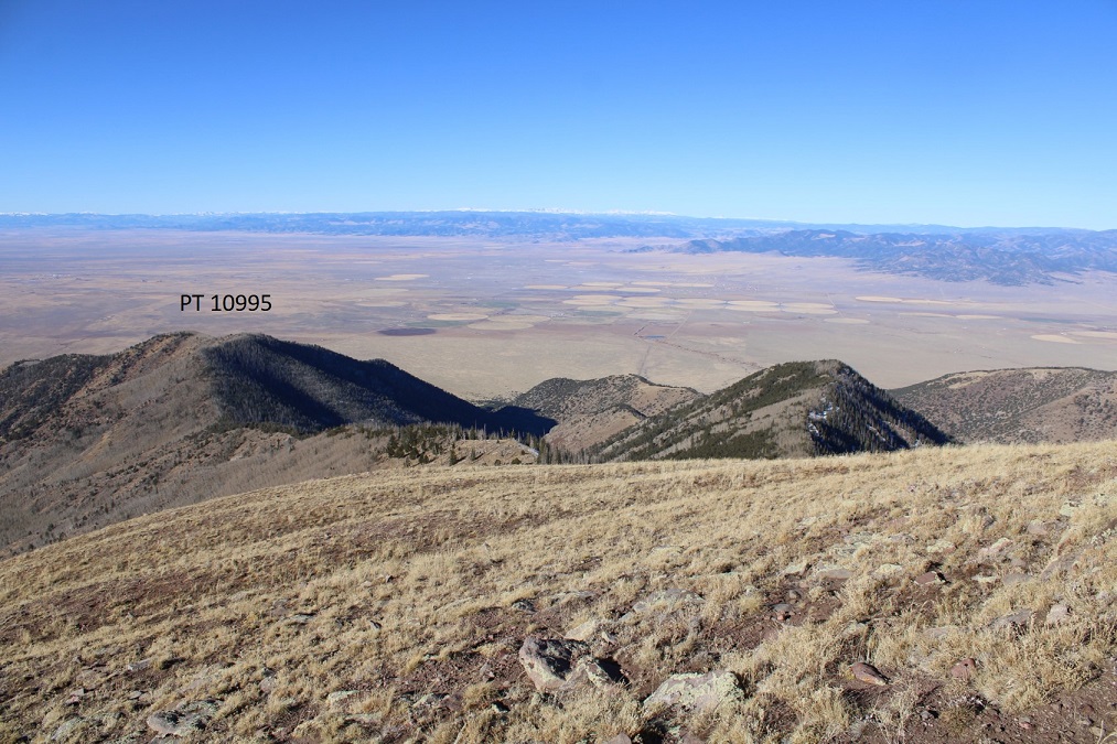
It was obvious when I made it to the ridge. I could see PT 10995 to the left, and followed the ridge towards Mt Owen to the right
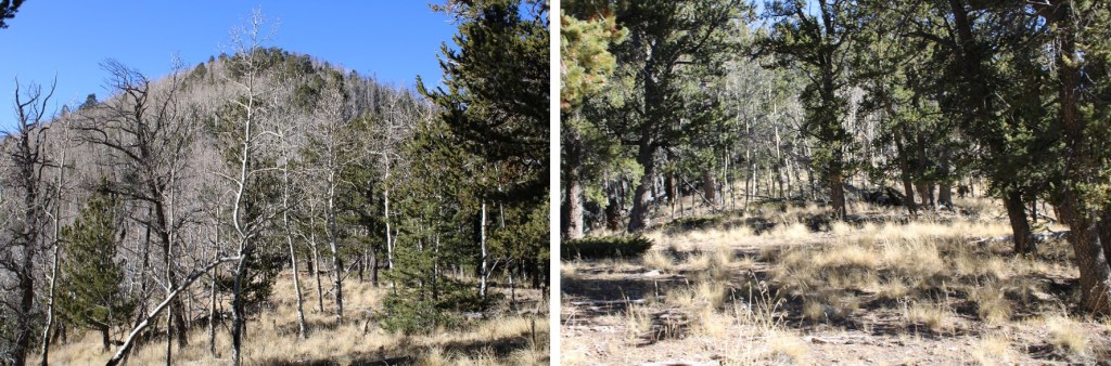
The ridge was easy to follow. There were even game trails that were clearly evident. I followed the ridge northeast.

Through a break in the trees I could see the rest of the route to Mt Owen

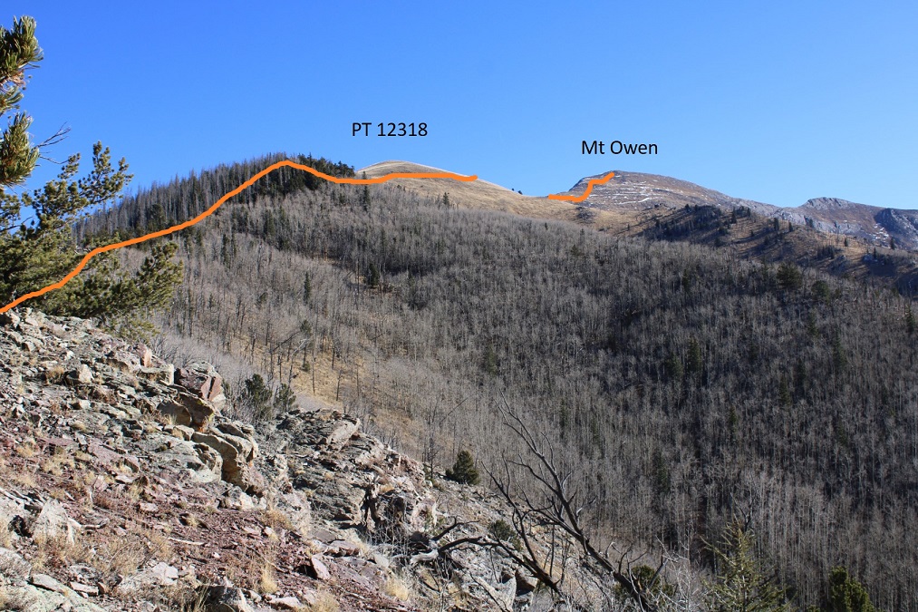
I continued to follow the ridge
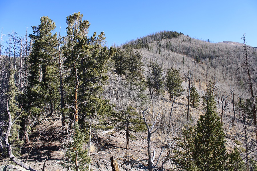
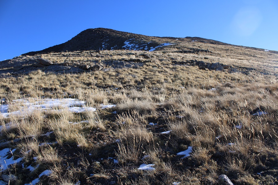
I made it to treeline, and instead of summiting unranked PT 12318, I skirted the mountain to the south, staying at about 12250’ (time was of the essence today….)
This was grassy tundra, and easy to navigate

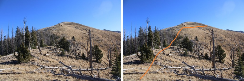
If you stay around 12250’, you won’t have to lose much elevation as you make your way to the 12318/Mt Owen saddle

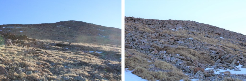
From the saddle, I gained 1100’ in .8 miles to the summit. Here’s the route I took
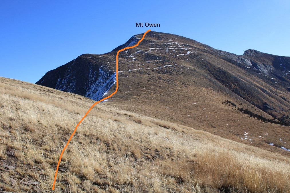
And some step-by-step pictures. It started out as tundra, and then became a bit rocky, but all class 2


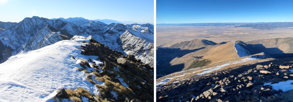
I summited Mt Owen at 8:40am

Mt Owen:
We’ve had some snow recently, but it hasn’t been sticking much in the Sangres. It’s always interesting to see the difference between the snow on the north versus south sides of the peaks in early season.
I was 20 minutes ahead of schedule, but that wasn’t enough time to make this a loop, so I turned and re-traced my steps back to treeline.
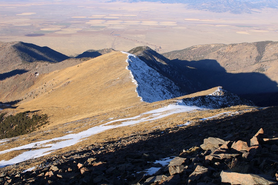
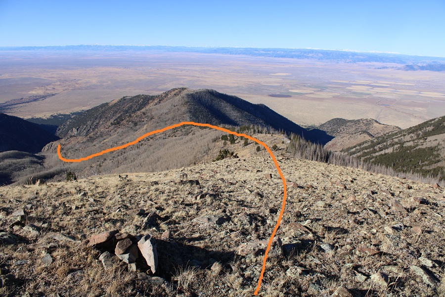
This small rock outcropping is a great visual. Stay just above the rock and you’re at the perfect elevation go skirt the mountainside and head towards the ridge down.

Make sure you choose the correct ridge to hike down. It’s the one nearest PT 10995, which is the largest point you can see, making it easy to notice, but also easy to miss if you haven’t been paying attention.
Here’s the route from the ridge back down to the trail
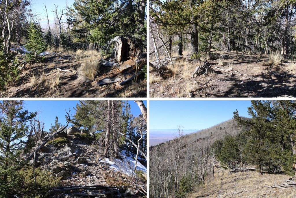
And some pictures of the ridge
Once at the lowest point on the ridge, I turned left, and headed south, following the drainage back towards the trail. Once again, if you’re doing this, stay in the grassy area. I… stayed in the trees. I didn’t have a great visual, but I could hear the creek ahead of me, so I just aimed south, towards the creek
There was a little bushwhacking involved, but I easily found the trail, and followed it back to the trailhead.
I made it back to my truck at 11:30am, making this a 12.21 mile hike with 5049’ of elevation gai in 6 hours, 50 minutes.
And now, back home to hike with some enthusiastic young adventurers!
