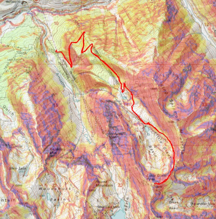
RT Length: 9.03 miles
Elevation Gain: 3526’
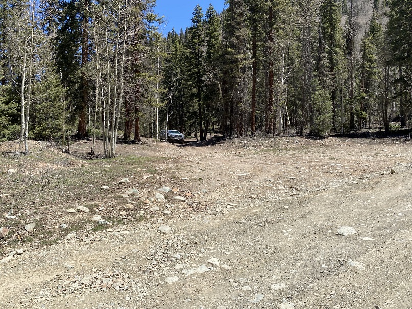
From CR2 near Silverton I turned right on 52 (just about where the Mayflower Mill Mine is) and followed the road to 9950’. I could have continued on to a campsite at 10900’, but at this time I didn’t know it was there. I was glad I’d stopped at 9950’, because the road was narrow, and there weren’t any spots to turn around before the second site. Also, that’s the farthest you can drive at this point (10900’) as there are downed trees and snow blocking the road to the Big Giant Mine.
I made it to my campsite around noon, and didn’t see another person the entire time I was there. Not one car/OHV drove by me, and no hikers either.
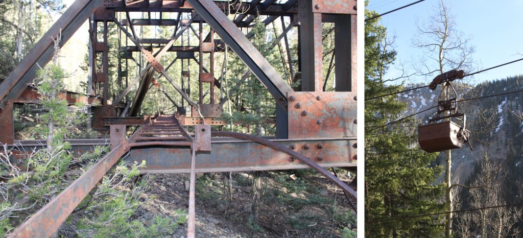
I was parked near an abandoned aerial tramway, so I spent some time taking a look around. Old mining stuff is cool.
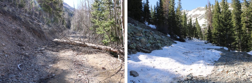
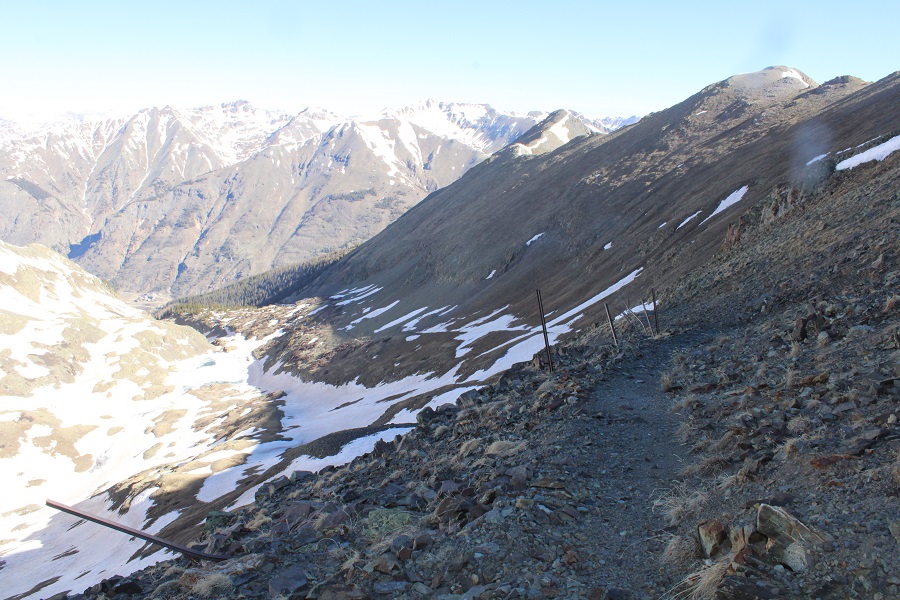
It was the quietest night I’d ever spent dispersed camping: I didn’t hear the wind rustle, or any animals make any noise until I got up at 4:30am. I was on the trail soon after. I started out following 52 south, then after .4 miles I turned left at a junction, and continued following the dirt road as it switchbacked up the hillside.

Moose scat. There was tons of it, but none looked fresh. I saw it around my campsite, and all along the road. I passed the campsite at 10900’ after hiking for 1.5 miles. This was the only place to park/turn around/pass another vehicle from where I parked my truck. (There’s a fire ring behind the snow at this site).
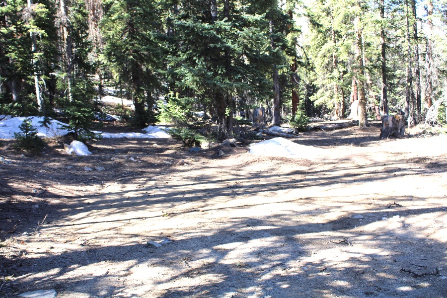
Just after passing the campsite snow began to line the road, and I came across some downed trees.
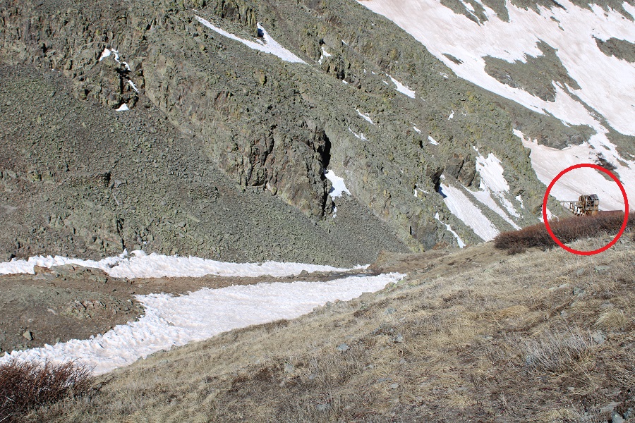
After hiking for just under 2.5 miles I came to the Big Giant Mine.

I continued following the road into the Little Giant Basin. The road was either dry, or covered in snow.
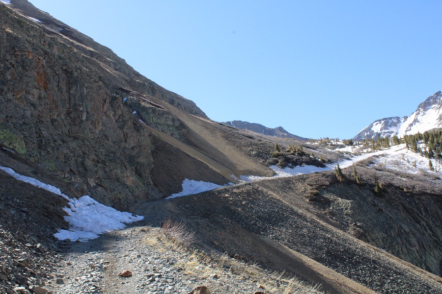

I saw more mining structures along the way.
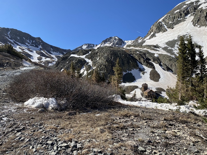
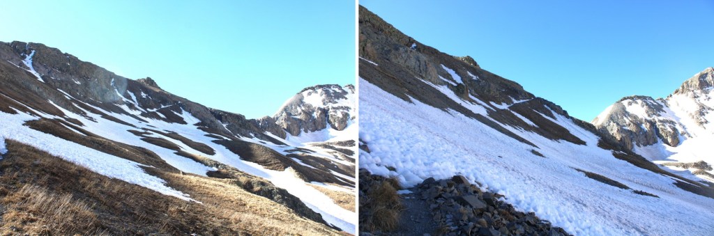
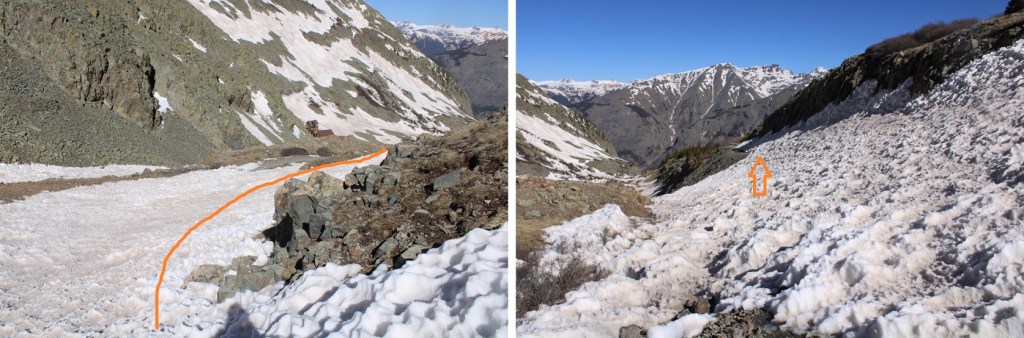
Once in the basin, I was able to see a trail to my left. However, due to the snow, there was no start to the trail. So I put on my microspikes and aimed for the trail in the distance, which took me to a pass.

Once on the trail, there was snow in several sections, all passable in the morning with microspikes. I aimed for the saddle.
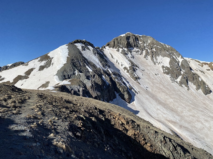
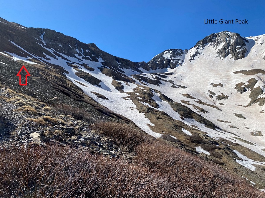
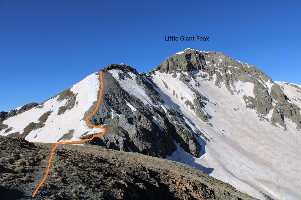
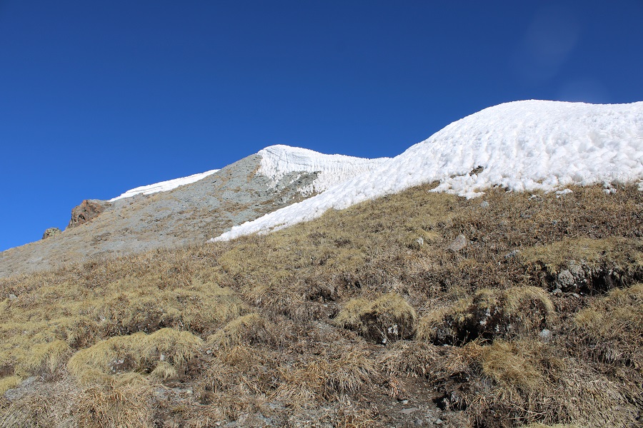
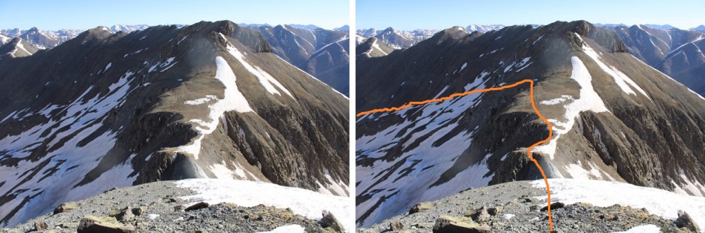
At the saddle I turned right, and followed the trail southwest

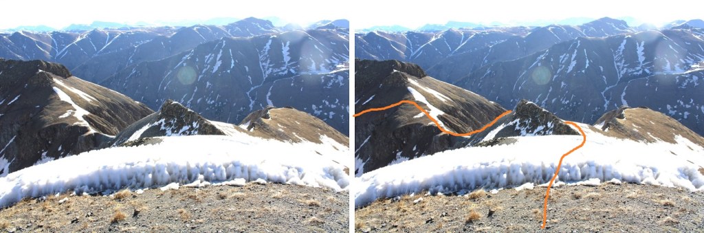
The trail I was supposed to take around the side of the mountain was covered in more snow than I wanted to deal with, so I went up and over the ridge.

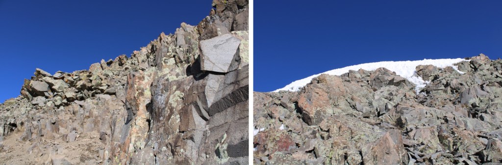
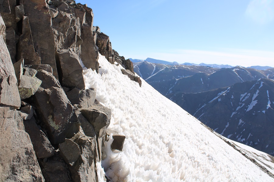
When I made it to the top of the scree, I came to a rocky area. I decided to go up and over the rocks, which was an easy class 3 scramble, but when I got to the end, I was met with snow and terrain I couldn’t downclimb, so I had to backtrack. Instead, go around the rock outcropping to the left. I was met with snow, but it was traversable.
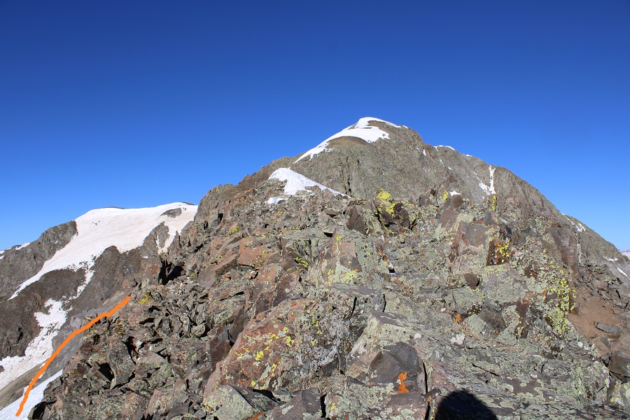
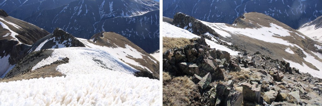
By staying left, and skirting the outcropping, I got a good view of the rest of the route to the summit, which included ‘choose your own adventure’ route finding. I just kept aiming for the peak.


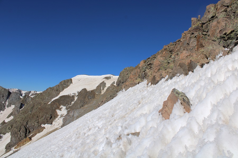
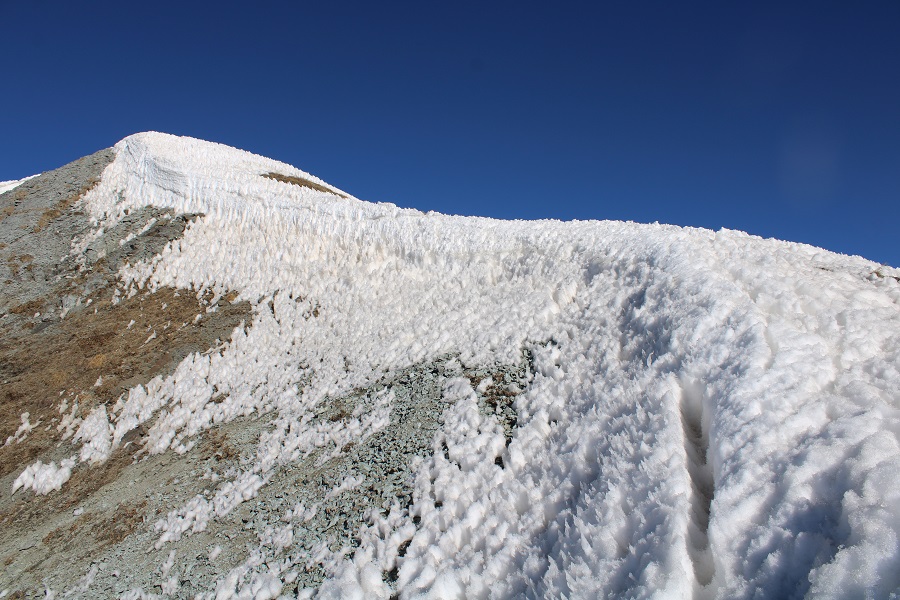
Towards the top I was met with snow. I followed it to the summit.
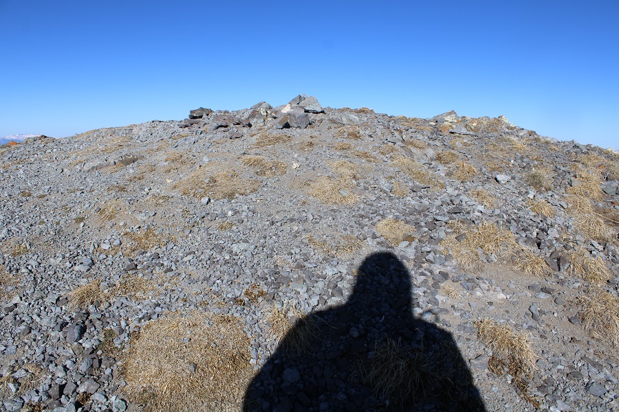
I summited Little Giant Peak at 8:15am
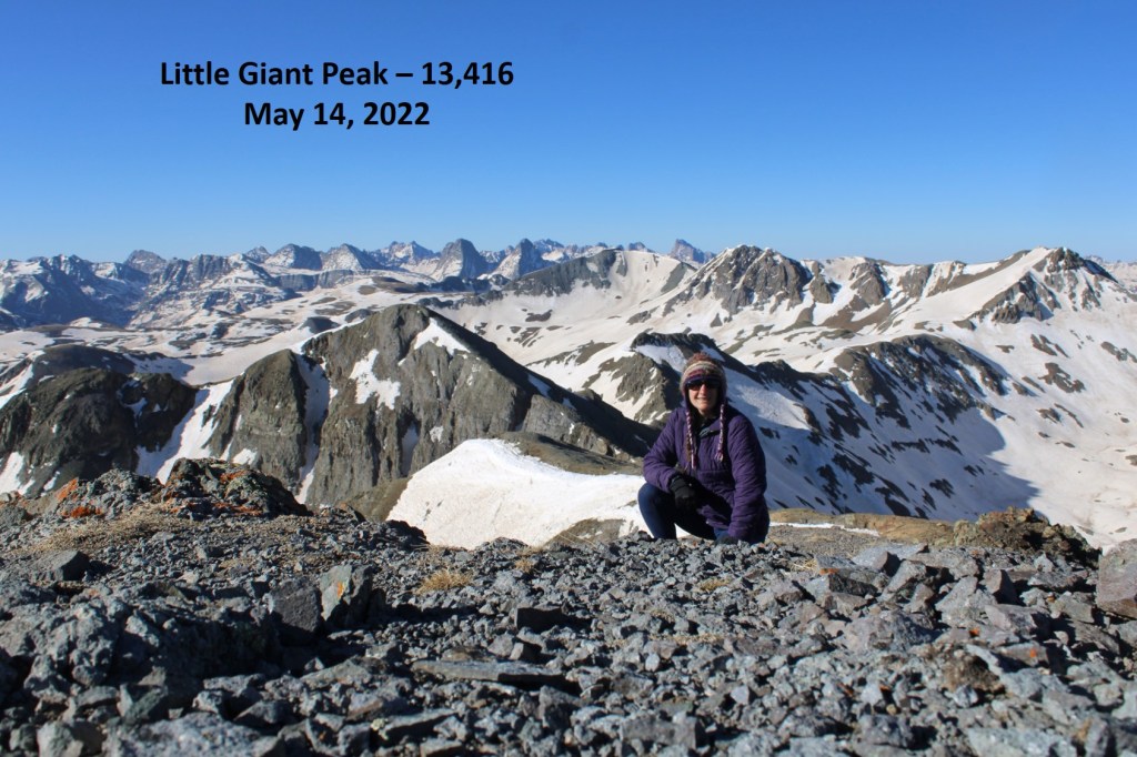
Little Giant:
The snow was quickly softening up, so I didn’t stay long. I re-traced my steps back to the saddle.

The snow was exceedingly soft behind the rock outcropping, even though it was not yet 9am.
I made my way back toward the saddle, and followed the trail back into the basin
When the trail gave out, I aimed for the mine in the distance, where the road picked up again
I then followed the road back to my truck

I made it back to my truck at 10:15am, making this a 9.03 mile hike with 3526’ of elevation gain in 5 hours, 30 minutes.
On to the next trailhead!

Nicely done, good stuff, love reading your stuff
LikeLike