RT Length: 6.19 miles
Elevation Gain: 2742’
Let me begin by saying Kendall Mountain was not my first intended peak of the day, so my stats and topo map are a little off. I made it to the Kendall Gulch parking area the night before, and slept at 11460’.

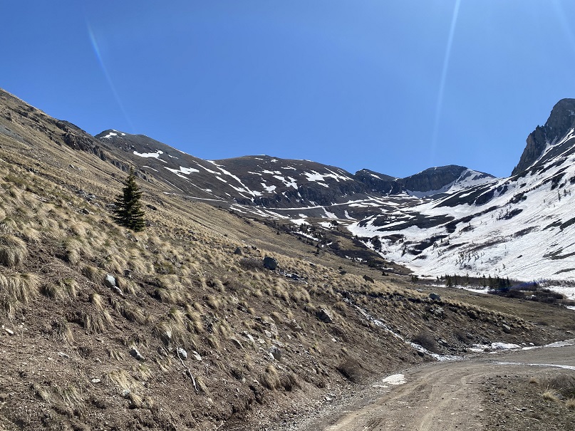
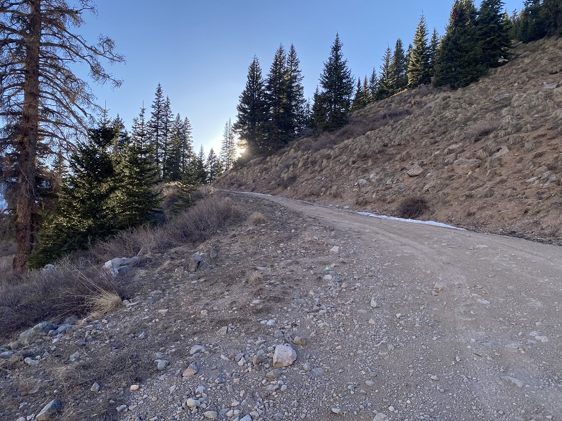
The next morning I rose late, and was on the trail after the sun had risen, at 6am. The road was easy to follow, and clear of snow the first half of the way.
I was originally headed toward Kendall Peak; specifically, the gully
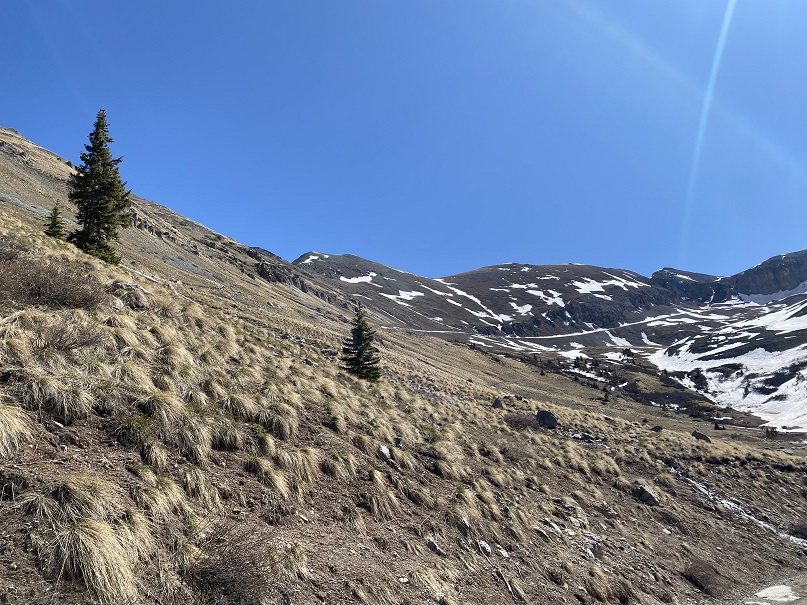
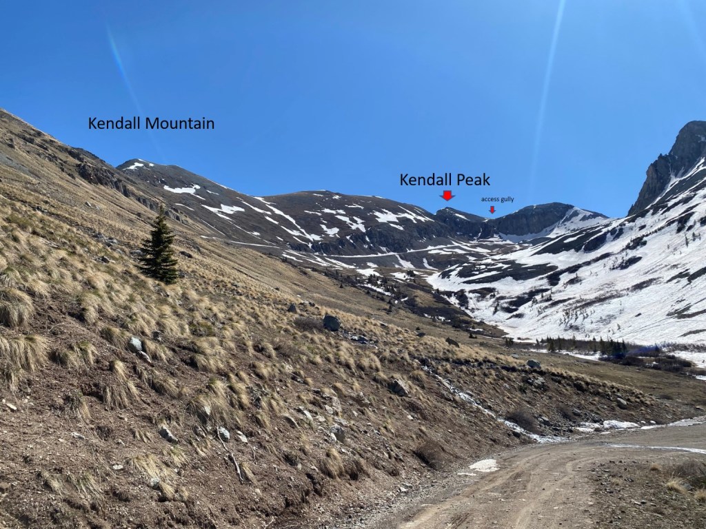
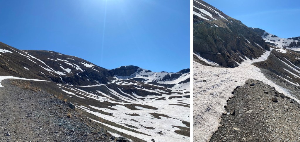
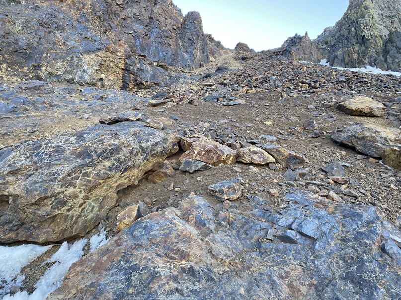
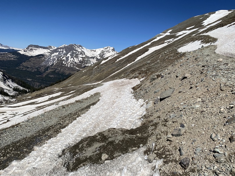
Here are some pictures of the way to the gully… I just followed the road to a mine
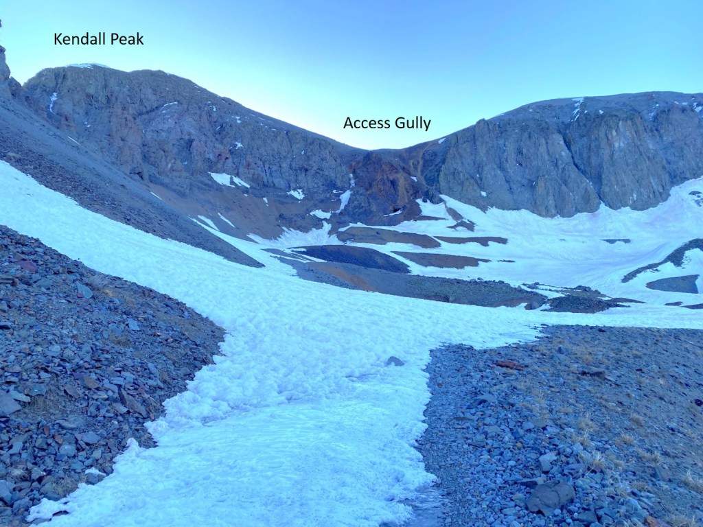
Once at the base, the route looked simple enough: I just needed to get up the gully to the ridge, and take the ridge to the summit

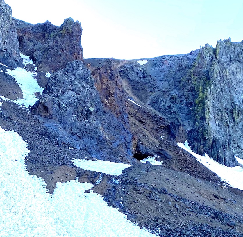
I’m really embarrassed to say this, but I wasn’t able to get up the gully. I made it about half way, and it became too steep. This was worse than kitty litter over rocks. It was talus that gave way to rockslides, and tiny pebbles over rock. Even with microspikes on, I couldn’t get traction, and kept slipping and falling down. It’s a lot steeper than it looks. I tried several different routes, but was unable to gain traction on any of them. After my fourth or fifth attempt, I started thinking to myself – who wasn’t wearing a helmet – “This isn’t the way I want to die.” While I might have been able to make it up (doubtful) going down was going to be worse. I made the decision to come back in the winter and try this as a snow climb, which should provide more traction. This was a difficult decision to make, but I knew it was the correct one.
So, I backtracked, and tackled Kendall Mountain. I hiked back to a junction in the road, at 12.265’.

From the junction, I headed up to PT 12660
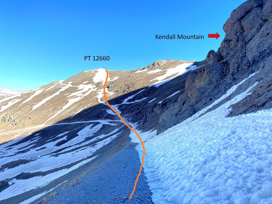

From PT 12660 I turned right and followed the ridge northeast towards Kendall Mountain.

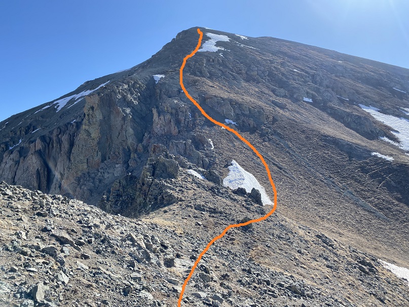
Here’s the route I took to the summit (solid line) and back down (dotted line). You could go up the way I descended, but it would be steep.

Here are some close-ups of the route to Kendall Mountain
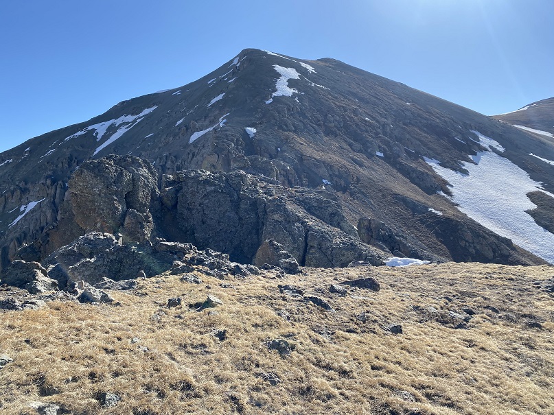
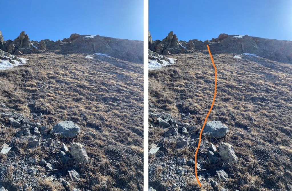
The tundra gave way to small rocks toward the top

I summited Kendall Mountain at 9:20am

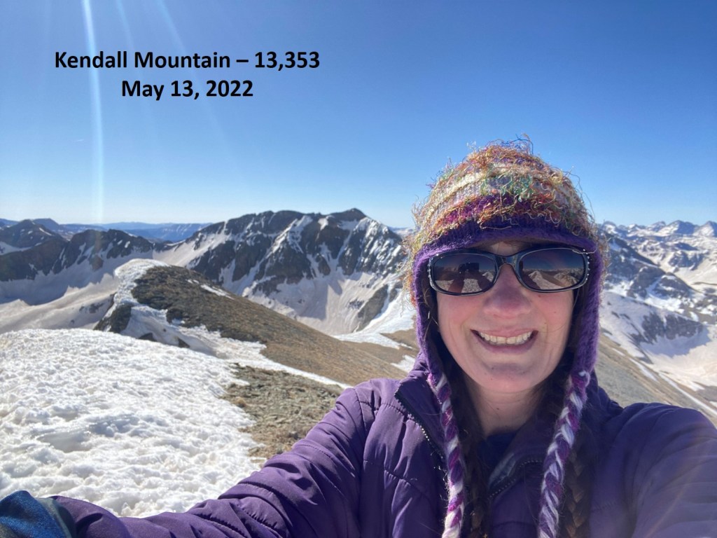
Kendall Mountain:
From the summit, when I looked southwest I could see my truck (circled)
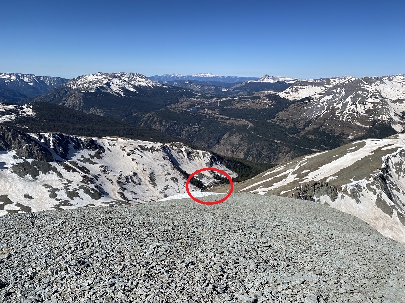
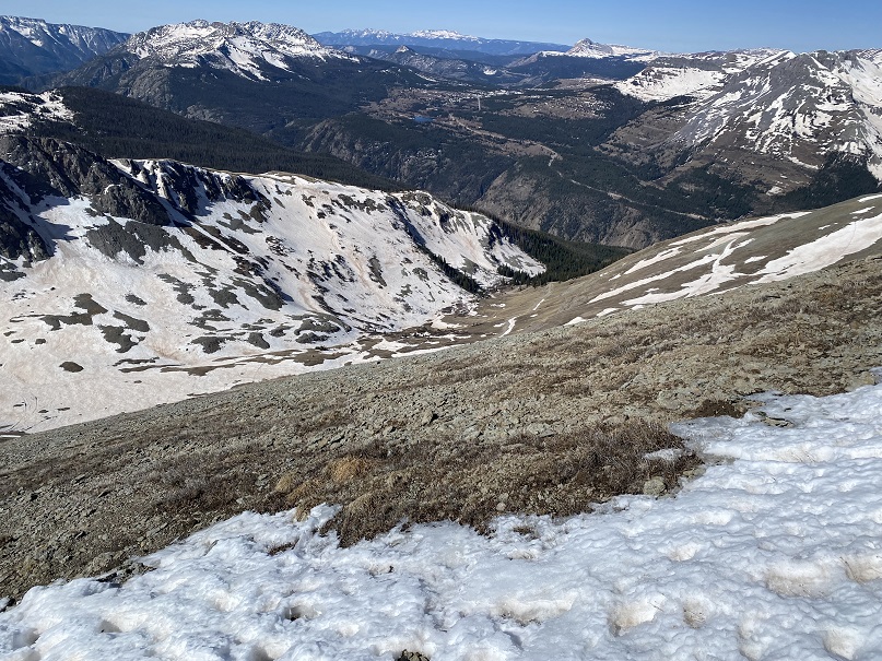
I aimed for it, and the road below. It’s important to head southwest, because the terrain cliffs out if you head directly south or southeast. This was steep, but it was easy to gain traction.


I made it back to the road, and followed it to my truck.
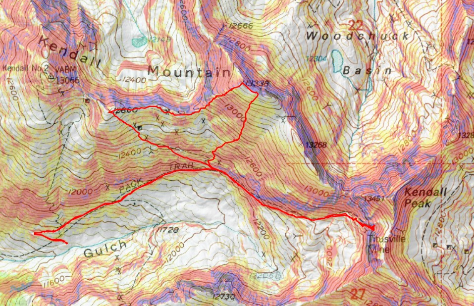
Here’s a topo map of the haphazard route I took.