RT Length: 9.62 miles
Elevation Gain: 3588’
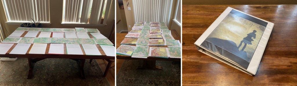
My beta was wrong. It was my fault, and I knew it on my drive in. When there are avalanche conditions in the high country, I spend my time putting together potential routes and topo maps. Then I print them out and put them in a binder I keep in my truck, so I’m always ready for a hike.
However, my spreadsheet had different information than I was seeing at the time. Specifically, a “No Trespassing” sign on what was supposed to be public lands. This could completely have been my fault, as wine might have been involved while I was putting together topo maps. Actually, it most assuredly was. This changed my plans a bit, but I could still get in a hike.
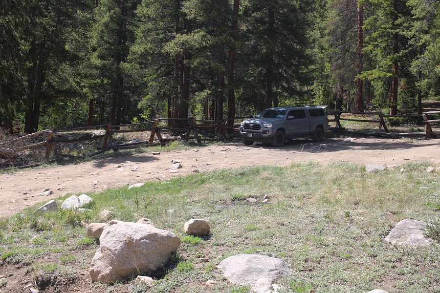
I parked at the Green Timber Gulch Trailhead after driving through thousands of tourists fishing at Cottonwood Lake, and the slowest driver I’ve ever encountered on a 4WD road. He had a 4WD vehicle, but didn’t go over 5mph on this easy 4WD road (dirt 2WD?) and refused to pull over. There were 10 vehicles behind him. Not cool.
Anyway, as I was sitting in the parking area putting together a trip report from that morning, a family pulled up beside me, then got into their Razor and took off. They came back covered in more dirt and dust than I’ve ever seen, and were laughing hysterically. I was glad they were having fun. Instead of hopping into the creek they took a wet-wipe bath, which caused more harm than good. They looked like they were covered in volcanic ash. In any event, eventually they left and I had the site to myself for the night. Note: No camping here, but I was sleeping in my vehicle, so I was just parked.
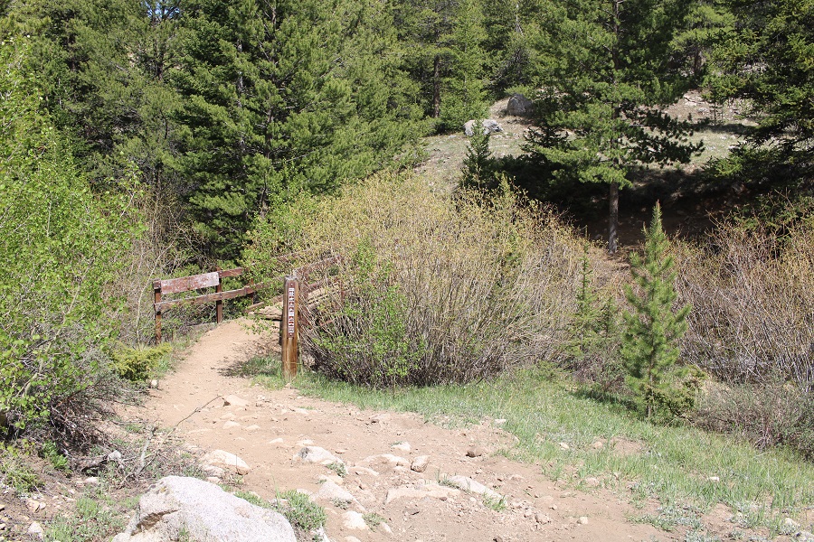
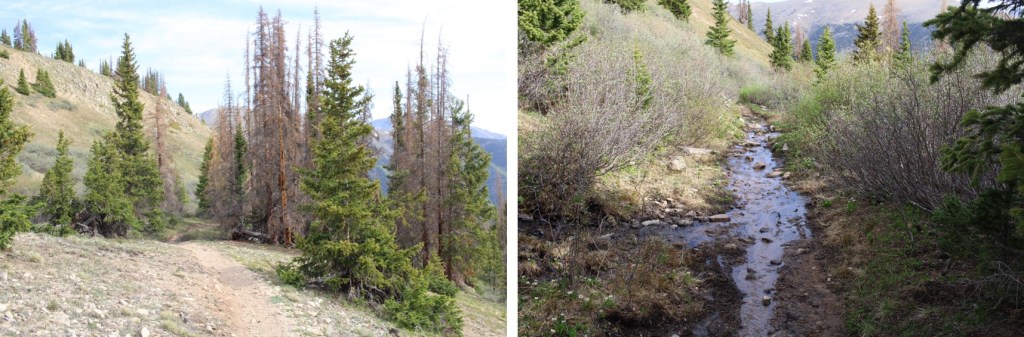
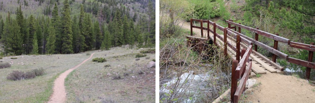
The trail is obvious, and starts with a bridge crossing.
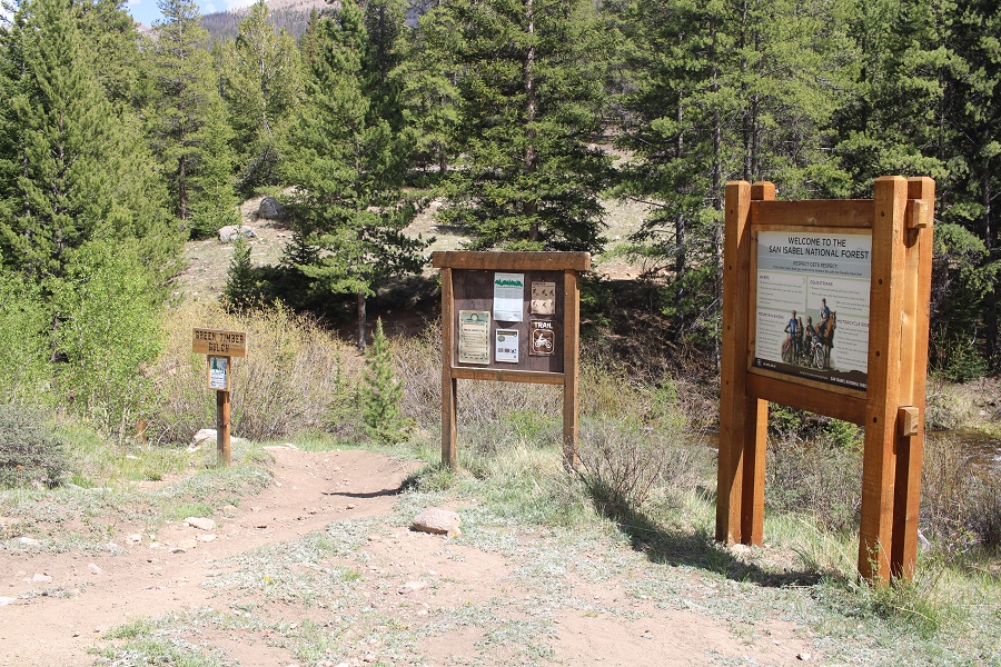
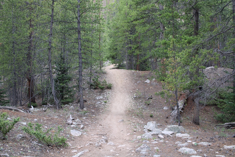
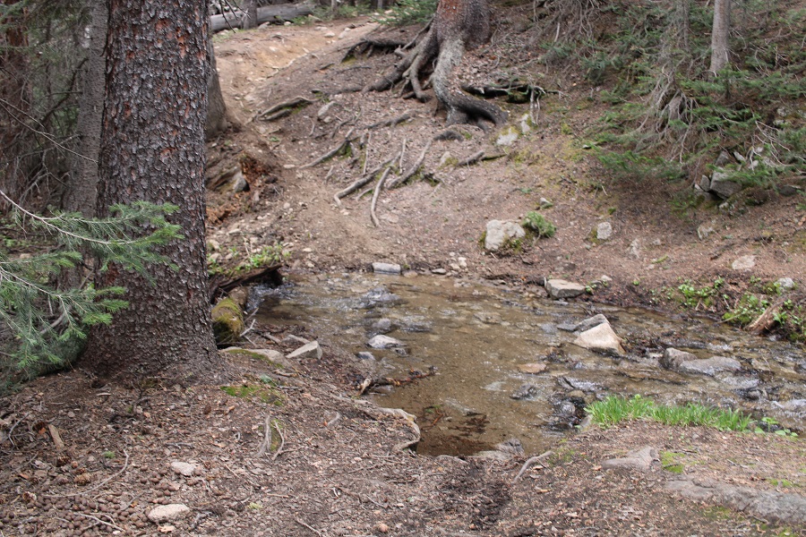
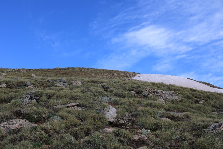
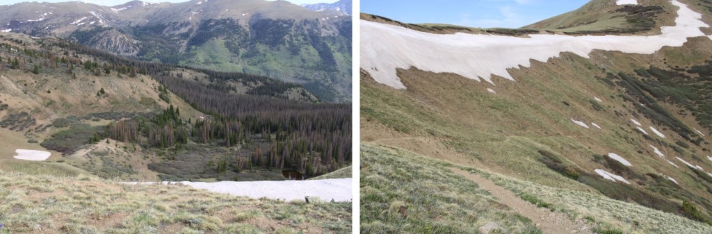
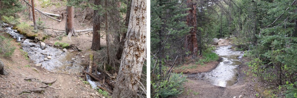
I followed the Green Timber Gulch Trail all the way to treeline and to the 12,837/13,078 saddle, for 3 miles. This is a class 1 trail, with a few minor creek crossings. It’s currently spring conditions, so there was a lot of water on the trail. There was a lot of moose scat on the trail (I mean, a lot), but no tracks, so I’m assuming the moose has moved on. This is also a motorized bike trail, so watch out for bikes.


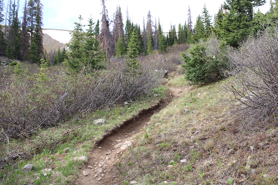
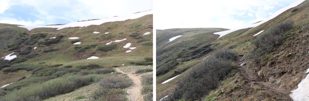
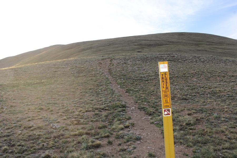
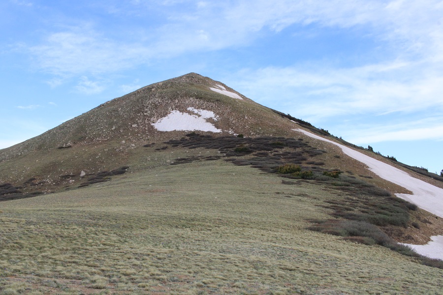
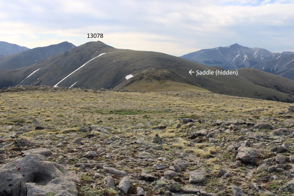
Once at treeline I turned left and headed east towards 13078. This was a straightforward tundra walk, and there was even a faint trail most of the way. Oh, and the sign says trail closed to motorcycles… hiking is ok.
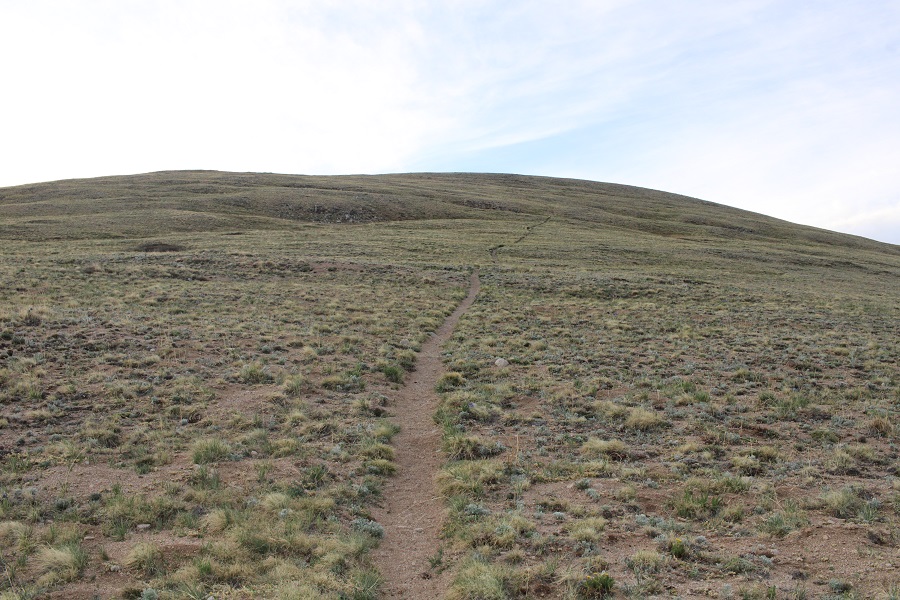

I summited 13078 at 6:45am

13078:
I left a register, and turned and headed back to the saddle.
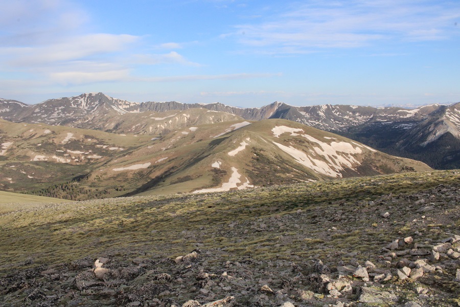
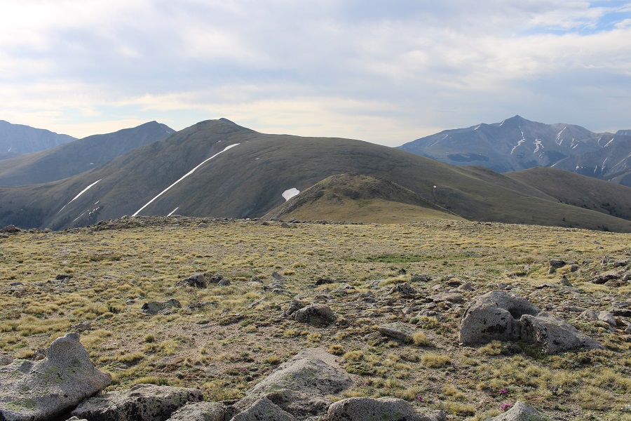
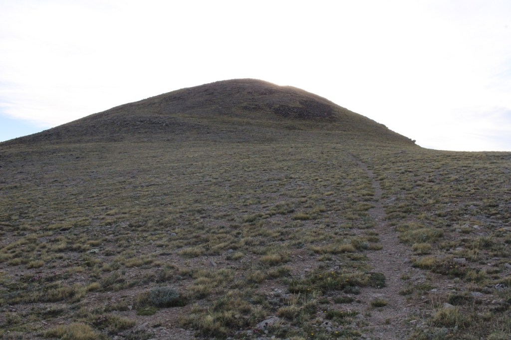
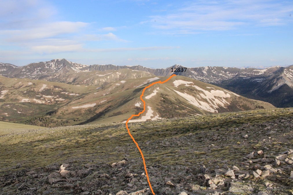
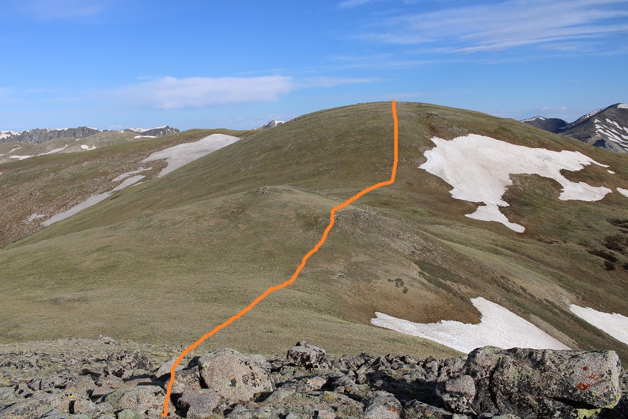
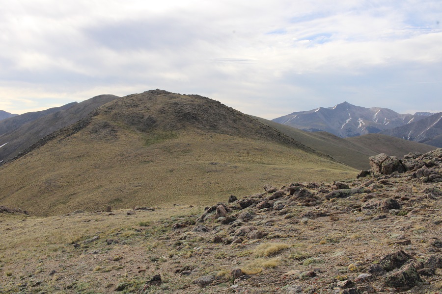
My next goal was PT 12837. From this height, you can clearly see the three false summits, which actually have more drop and gain than it looks like from here. This is the route I took
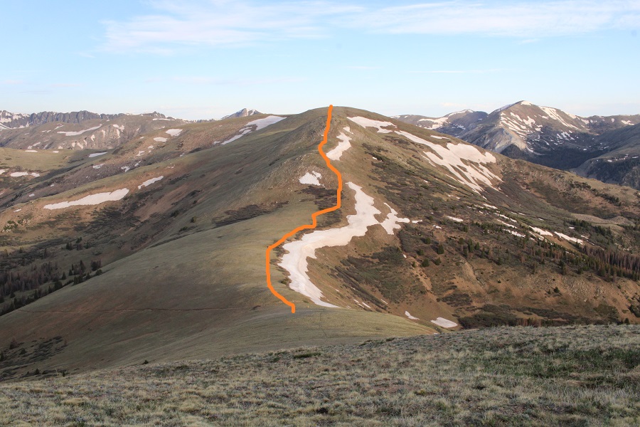
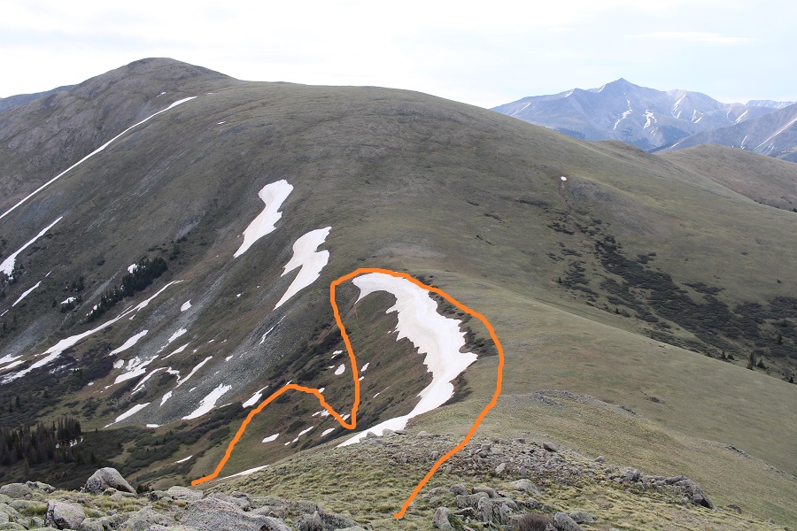
Here are some step by step pictures. First, to the saddle

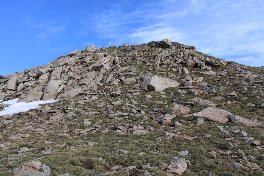
Then I looked for a break in the willows, and cut over to the ridge, avoiding the rocks to the left, and snow to the right
Here’s the first false summit
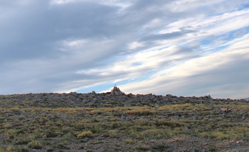
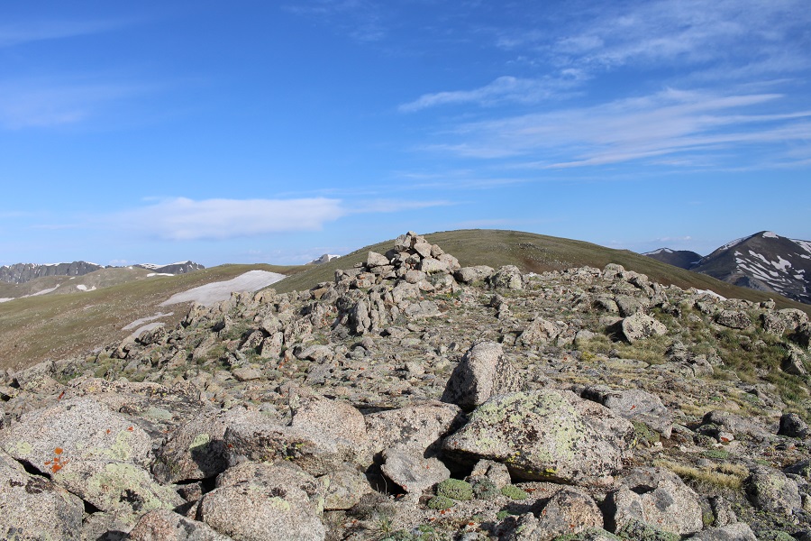
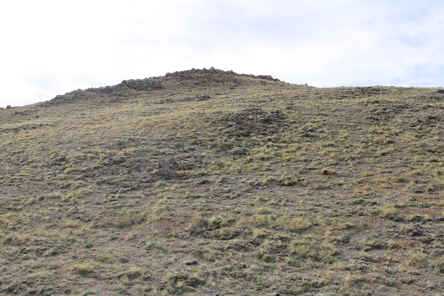
There was a large cairn at the top, but was obviously not the true summit. Here you can see the cairn, as well as the second false summit

Here’s the route I took to the summit (all very straightforward)

I summited 12837 at 7:50am The ground was relatively flat, so I jumped for the picture
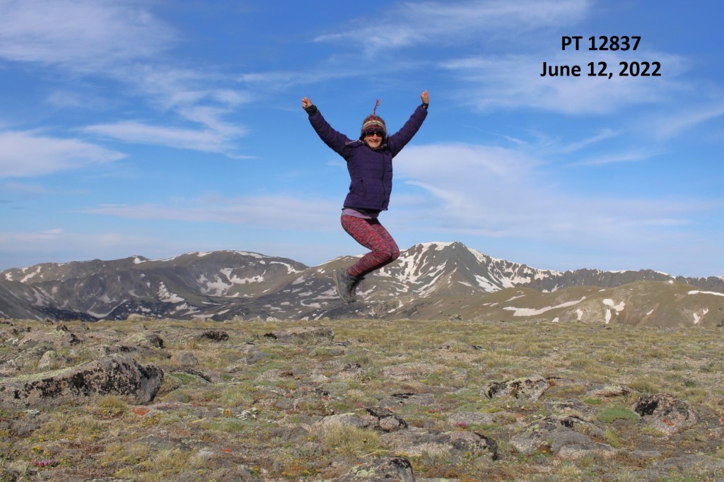
12837:
Here’s looking back at the route from 13078, as well as my route back to the saddle
I headed back to the 13078/12837 saddle


And then picked up and followed the Green Timber Gulch Trail back to the trailhead.

I made it back to my truck at 9:30am, making this a 9.62 mile hike with 3588’ of elevation gain in 5 hours.

On to the next trailhead!
