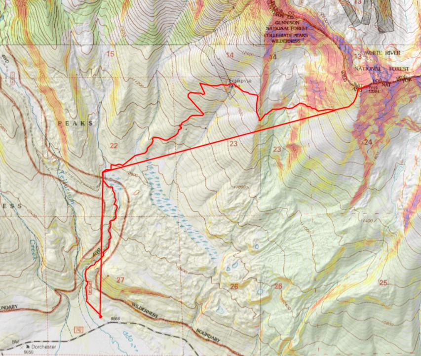
RT Length: 10.4 miles
Elevation Gain: 3996’
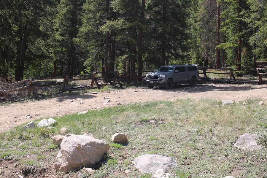
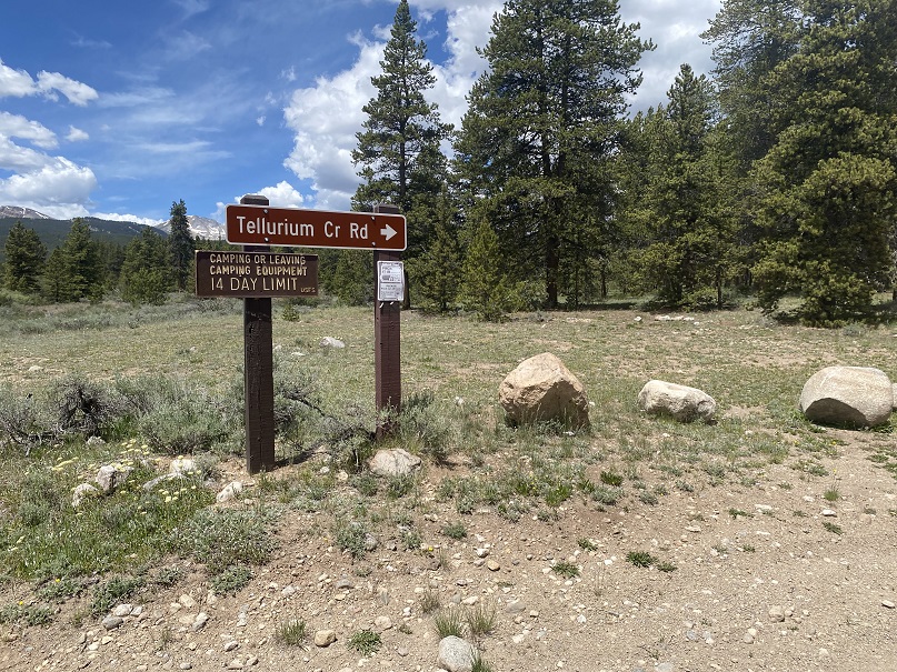
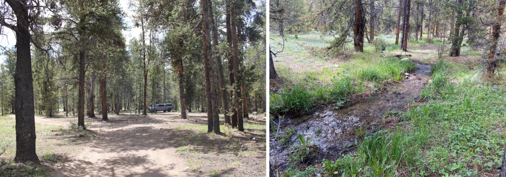
There is a ton of camping at the Tellurium Trailhead, so that’s where I spent the night.
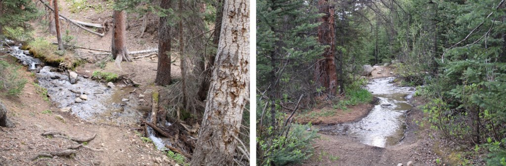
I was parked next to a small stream, and had the entire area to myself. Not bad for a Friday and Saturday.
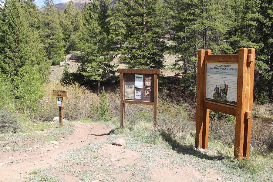
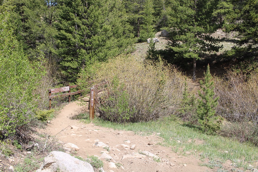
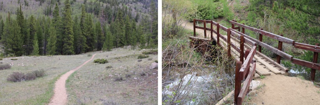
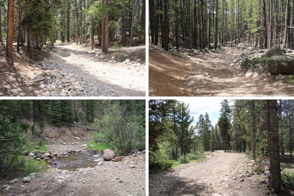
I was up and on the trail at 4:30am, following the 4WD dirt road 584 north for just under 1.5 miles. There were a lot of dispersed camping sites along the road. I was glad I’d parked where I did and hiked in.
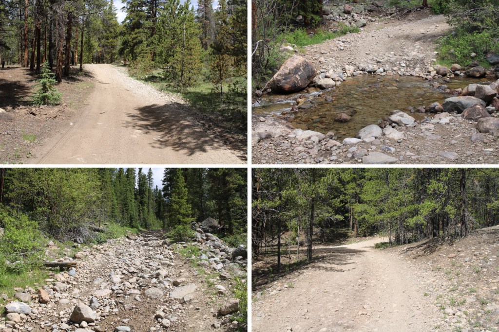
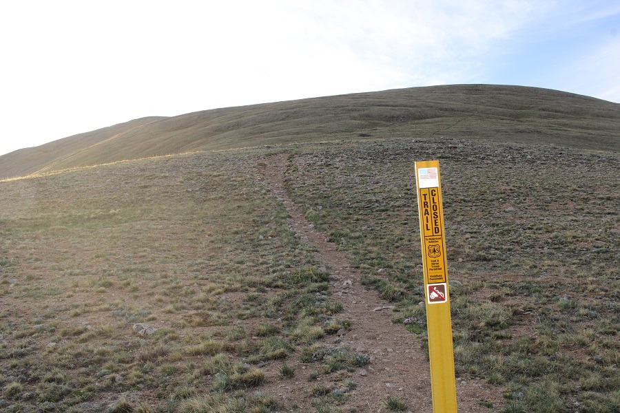
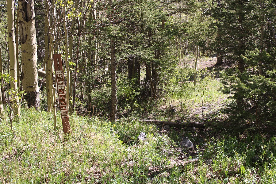
After hiking for just under 1.5 miles I came to an old dirt road that has been blocked off. It was on the right, and wouldn’t have been obvious in the dark. There is no parking there.
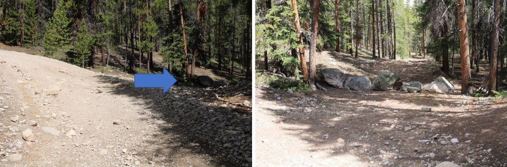
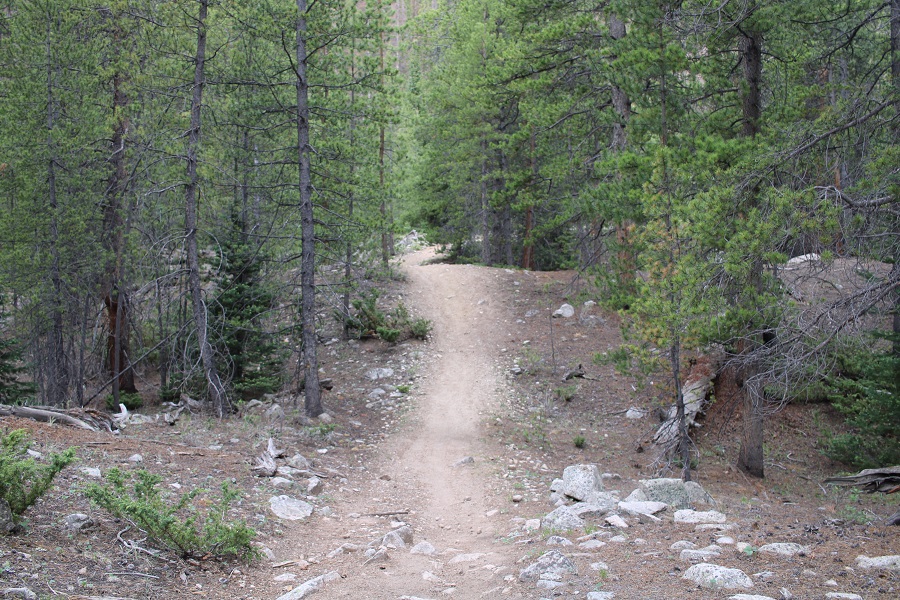
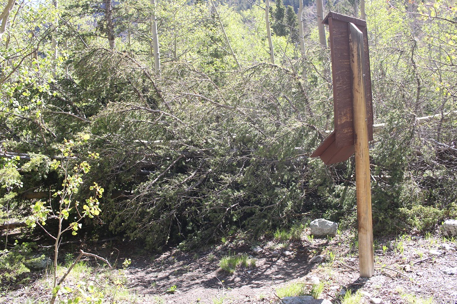
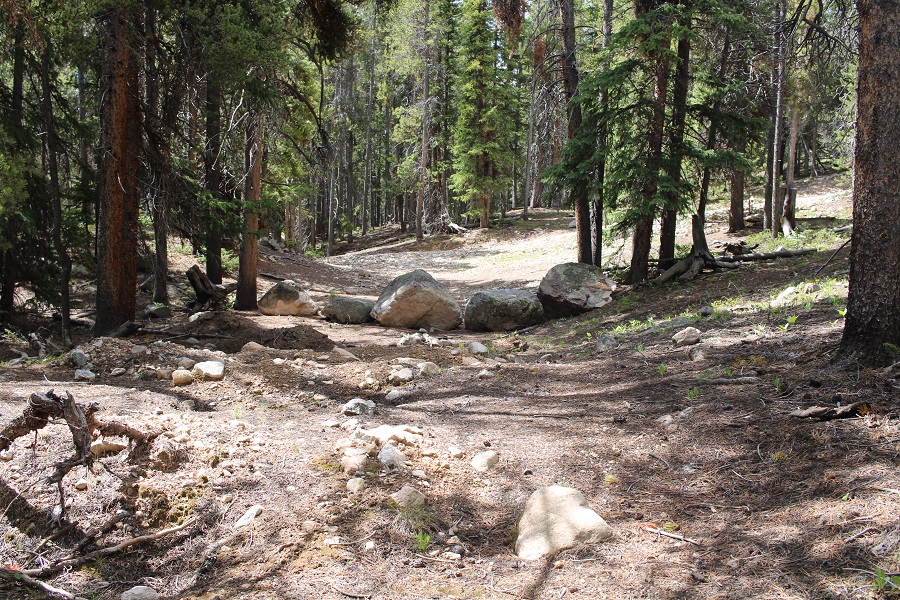
This was a road someone had tried to make unusable. It made hiking interesting, as I could not hike in a straight line. The road was obvious and easy to follow however.
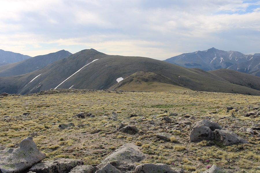
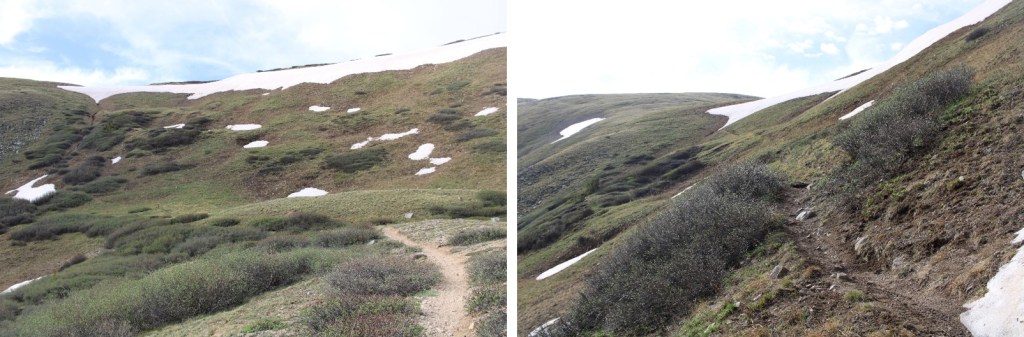
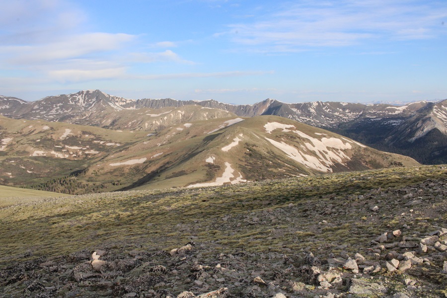
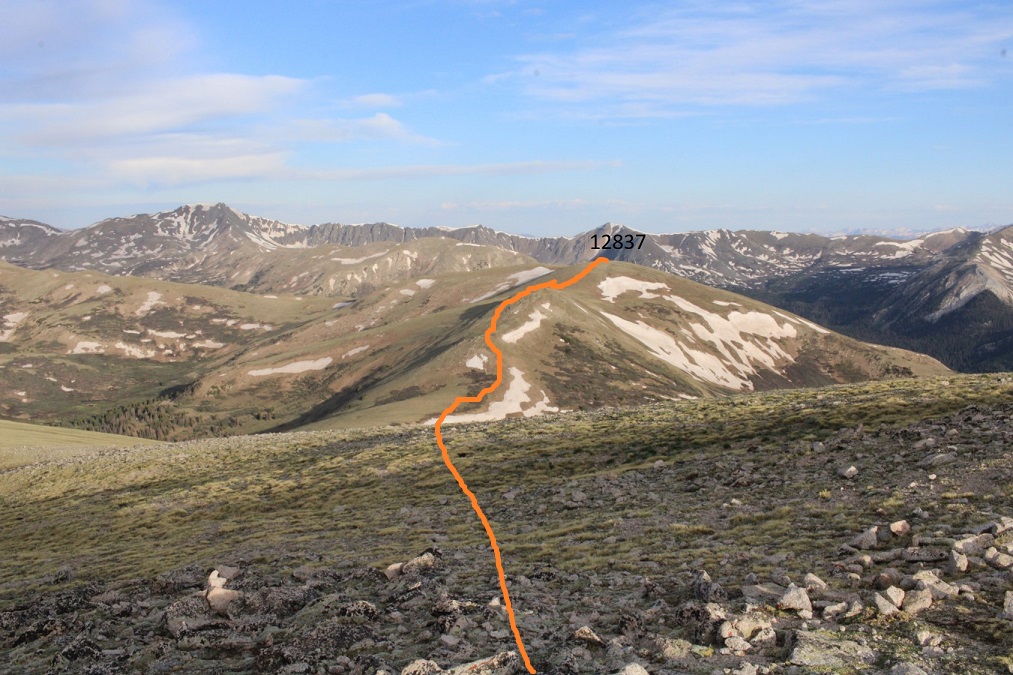
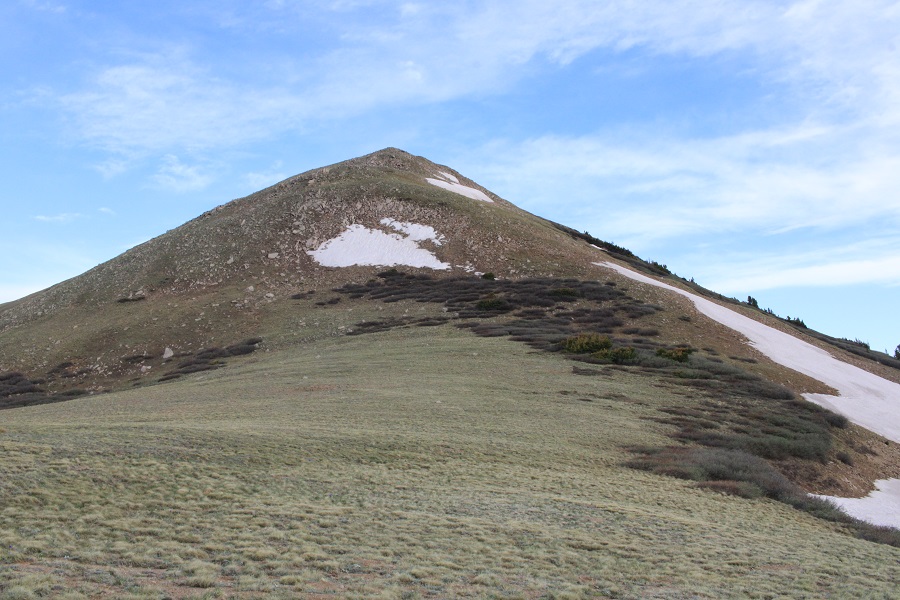
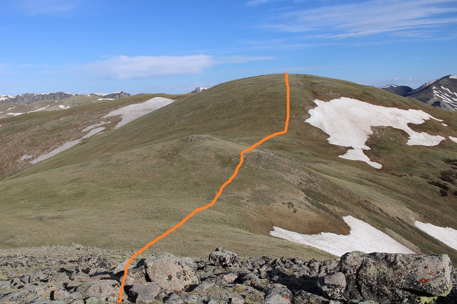
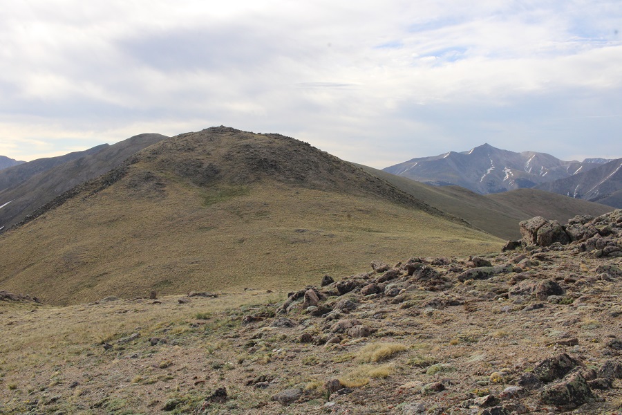
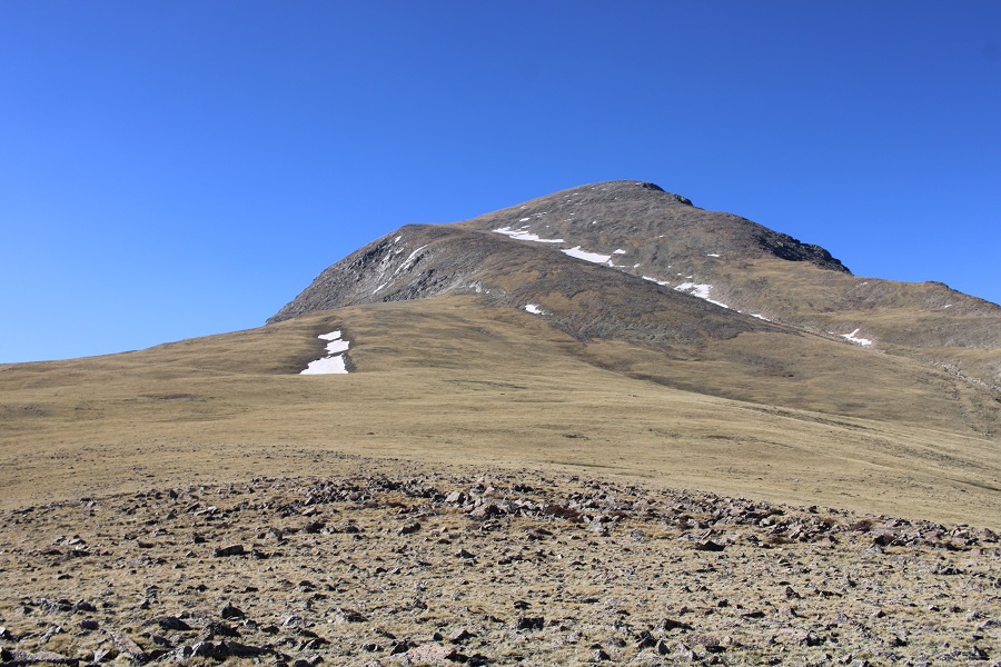
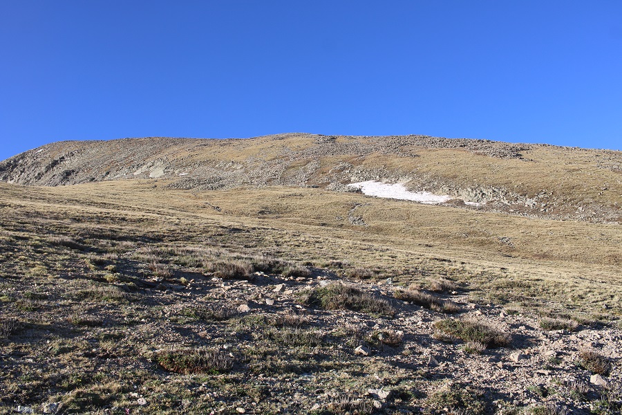
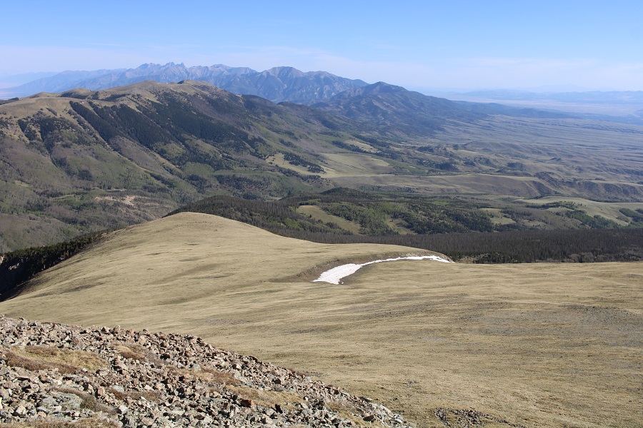
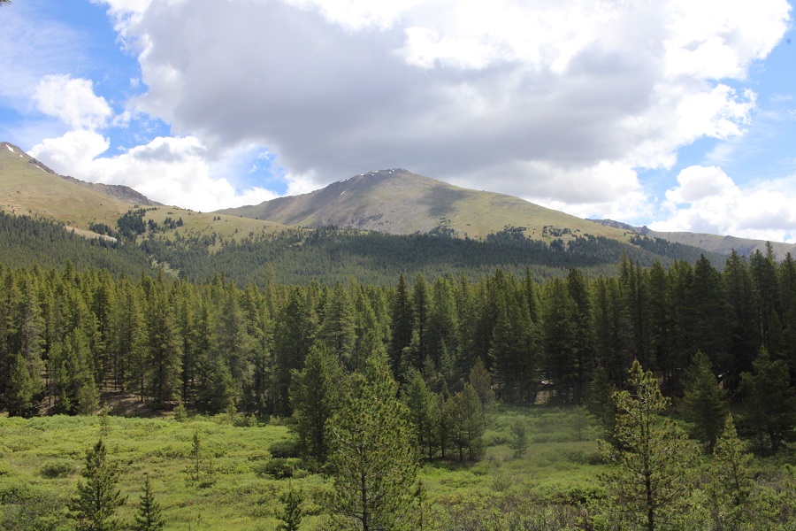
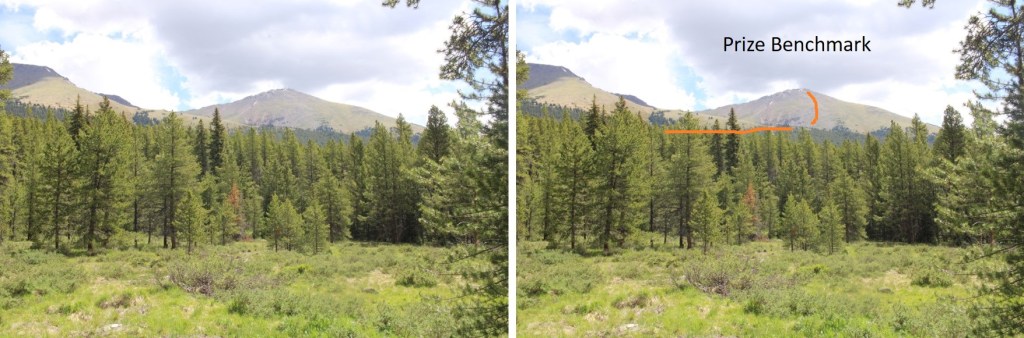
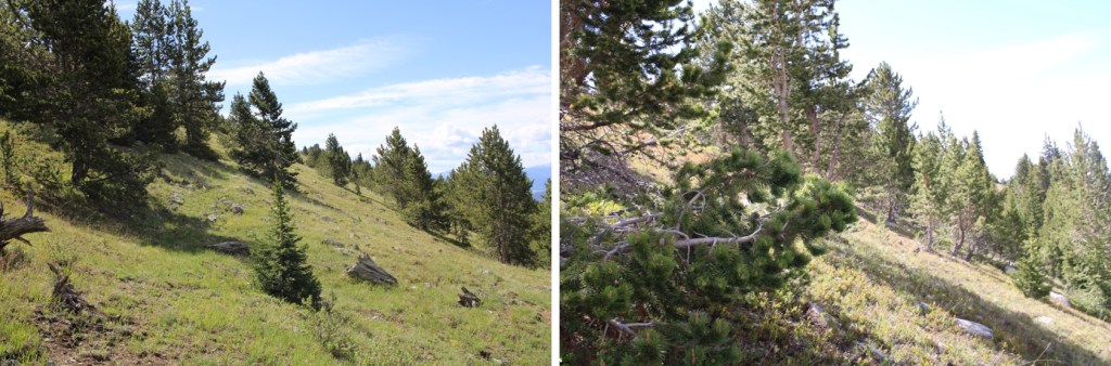
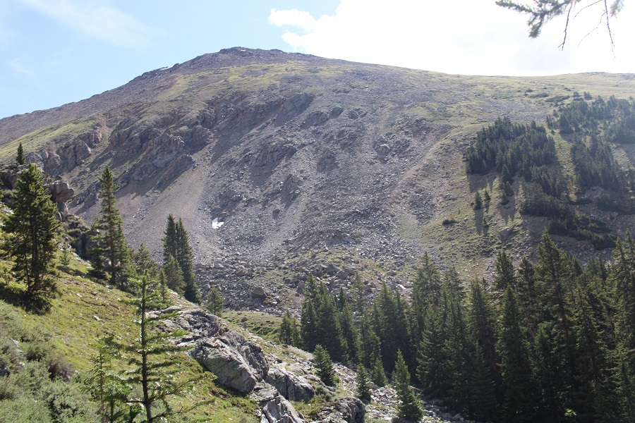
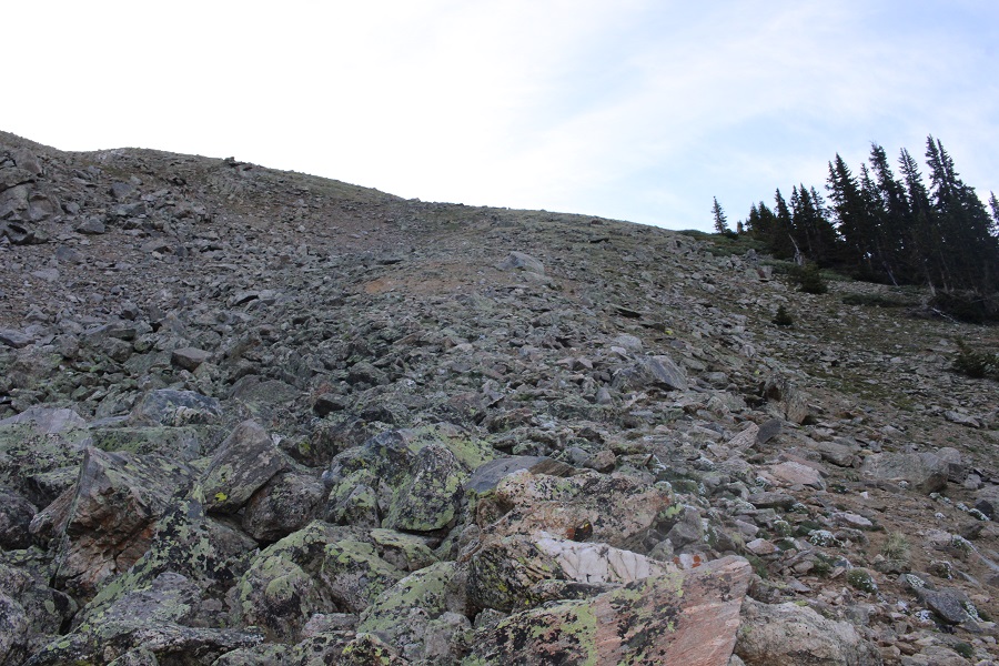
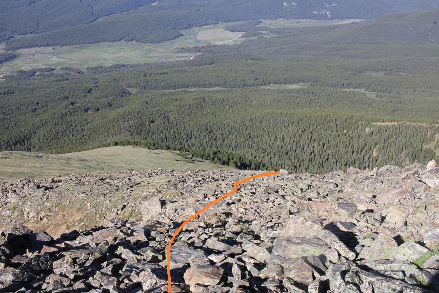
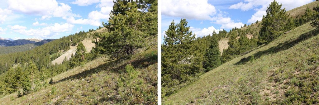
When you come to the meadow, if it’s light out, get a good look at Prize Benchmark. This is the route you’re going to want to take. Notice there’s a ridge? You’re going to want to parallel that ridge, then dip into a basin before ascending Prize. This will make more sense later.
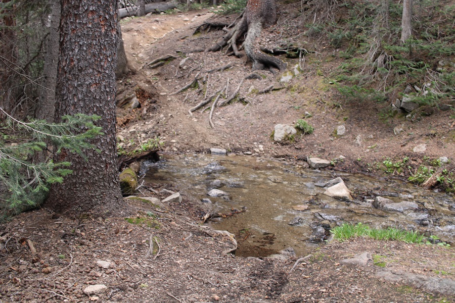
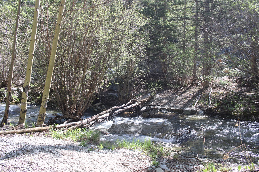
There were two creek crossings I did not need to take off my shoes to cross

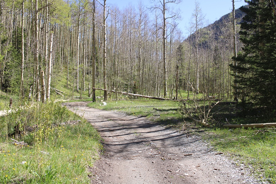
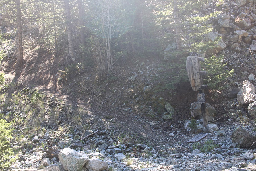
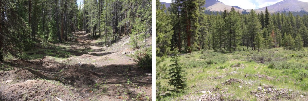
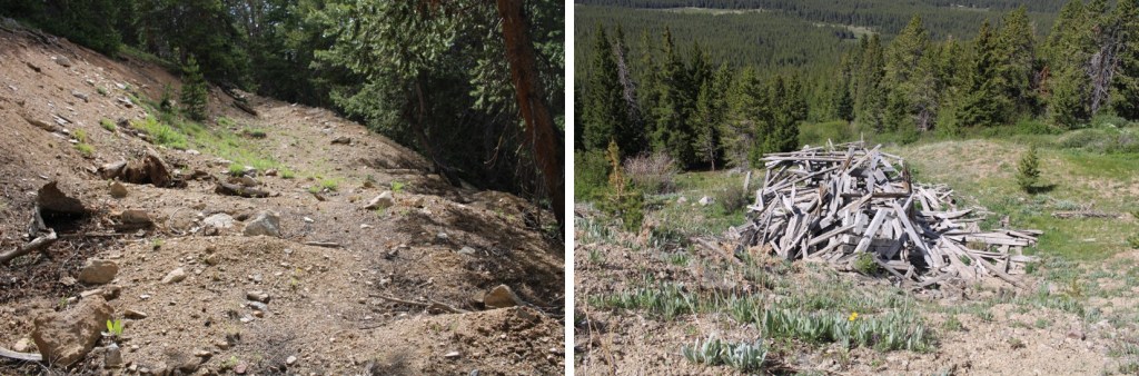
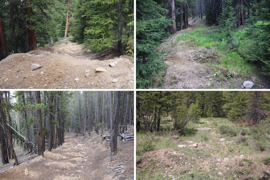
There were a few side roads that went to old houses and mining operations. Every time I had an option to turn I kept left (twice). I followed this road all the way to the Enterprise Mine. There’s not a lot left…
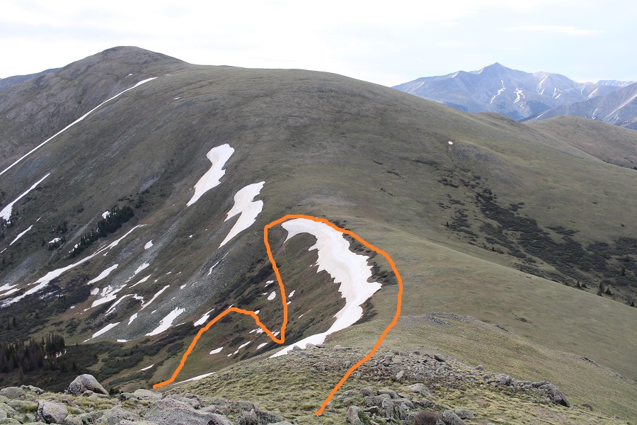
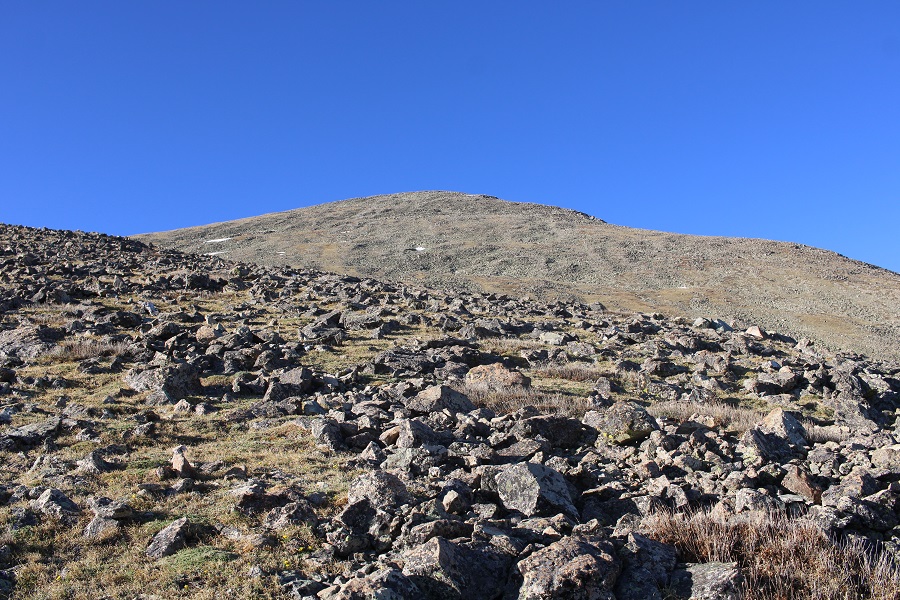
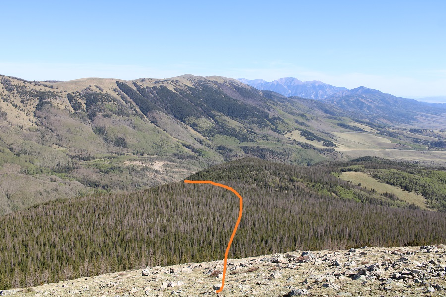
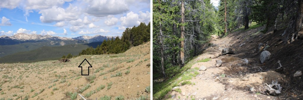
Here’s where I messed up. I went over the ridge. Don’t do that. Instead, try to stay parallel with the ridge, as you’ll want to cross it at a low point because you’ll be descending into a basin. There is no trail here, but don’t try to ascend the ridge, stay at about 11800’.

When you can see east, it’s time to descend into the basin. There are a few game trails here. Yes, you’ll be headed back into the trees.

I just kept heading east.
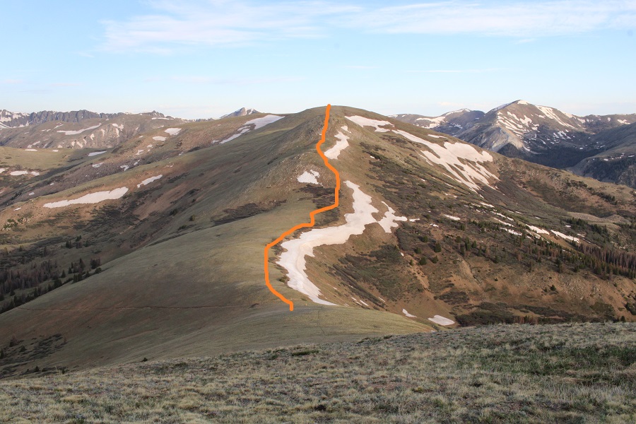
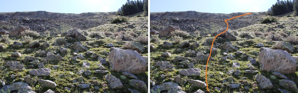
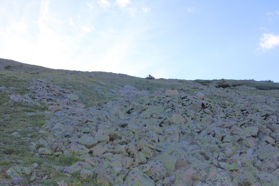
I could see a grassy band I wanted to take to the ridge, and thought the easiest way to get there was over a pile of rocks. It wasn’t. The rocks weren’t stable, and more than once I seriously considered heading back. This is the way I’d recommend ascending

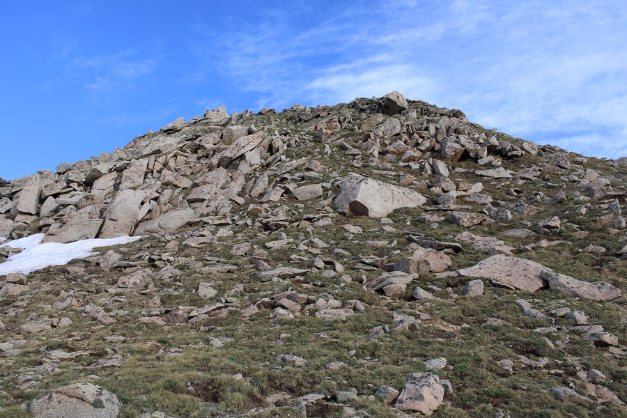
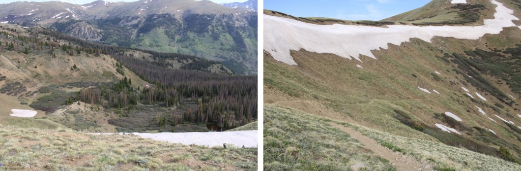
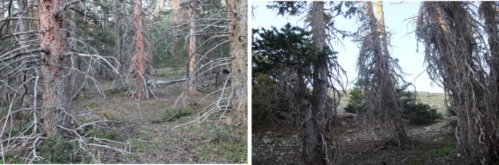
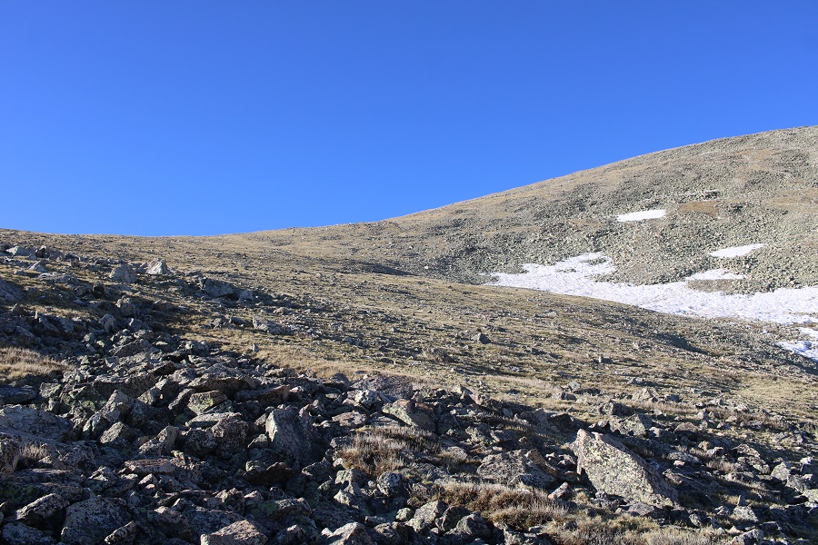
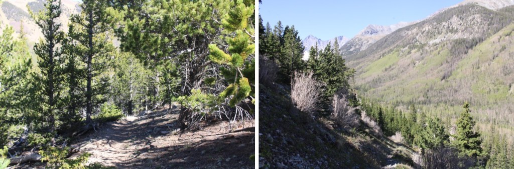
Here are some pictures of the way up the ramp. I stayed to the left of the trees.
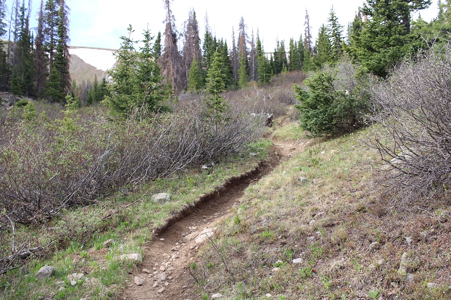
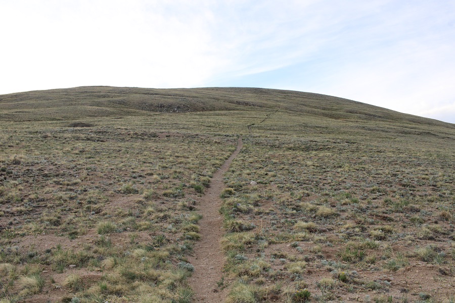
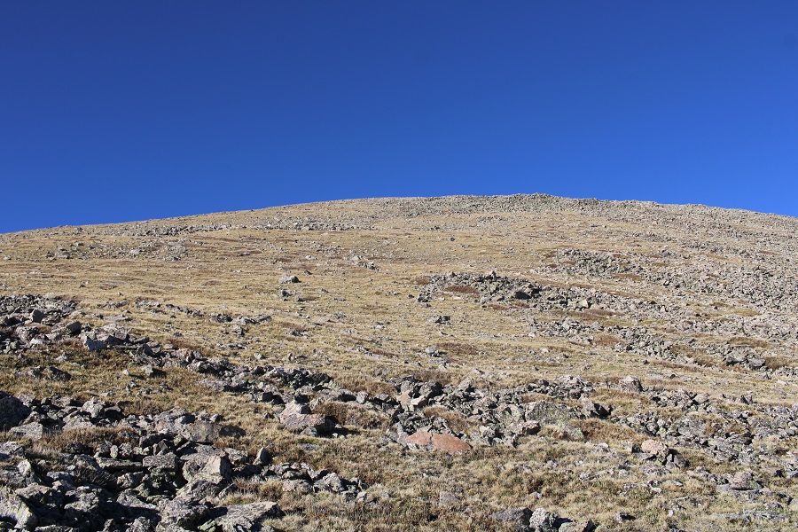
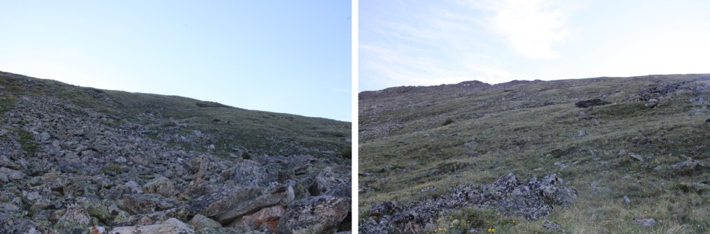
Then I followed the tundra east to the ridge
As I was heading east, and the sun was trying to rise, I notices a small herd of elk to my right. They were sharing the tundra, and after a while the mamas woke their babies and trotted off.

I continued hiking east.
As I was trudging up the tundra, I heard what sounded like a bark. At first I thought it was a coyote, but they don’t bark. Then I thought maybe a dog, but it was unlikely there was a dog all the way out where I was. I heard a single bark every two minutes or so. One time, when I turned around, I saw an elk, and realized the ‘bark’ belonged to her
Elk barking:
I figured she’d gotten separated from her herd, and was calling them. On I trudged. I reached the ridge, and turned left.

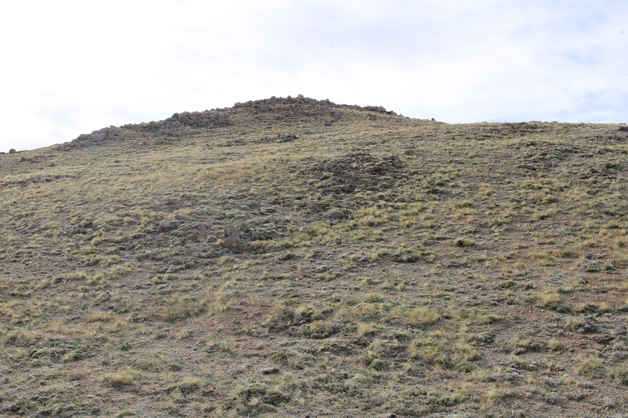
This was all class 2. I navigated the rocks to the left

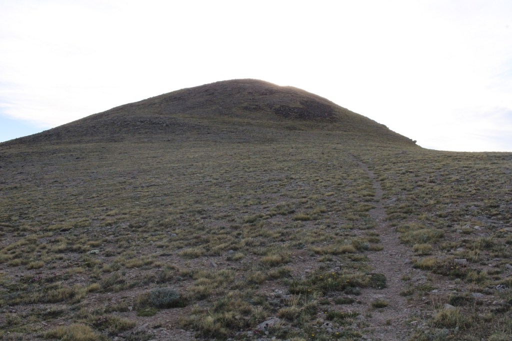
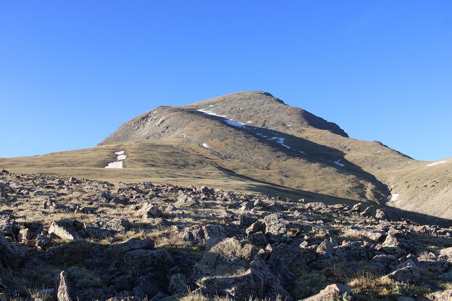
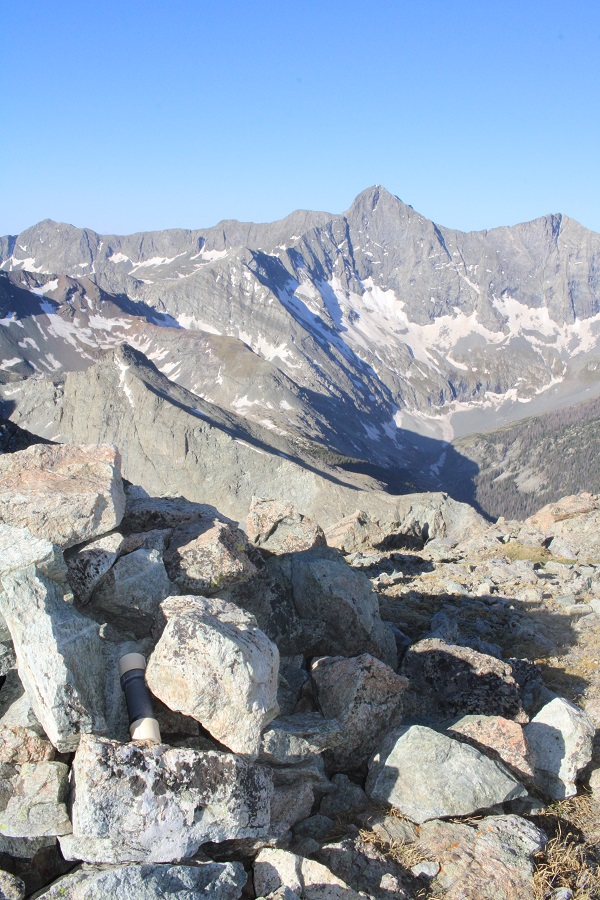
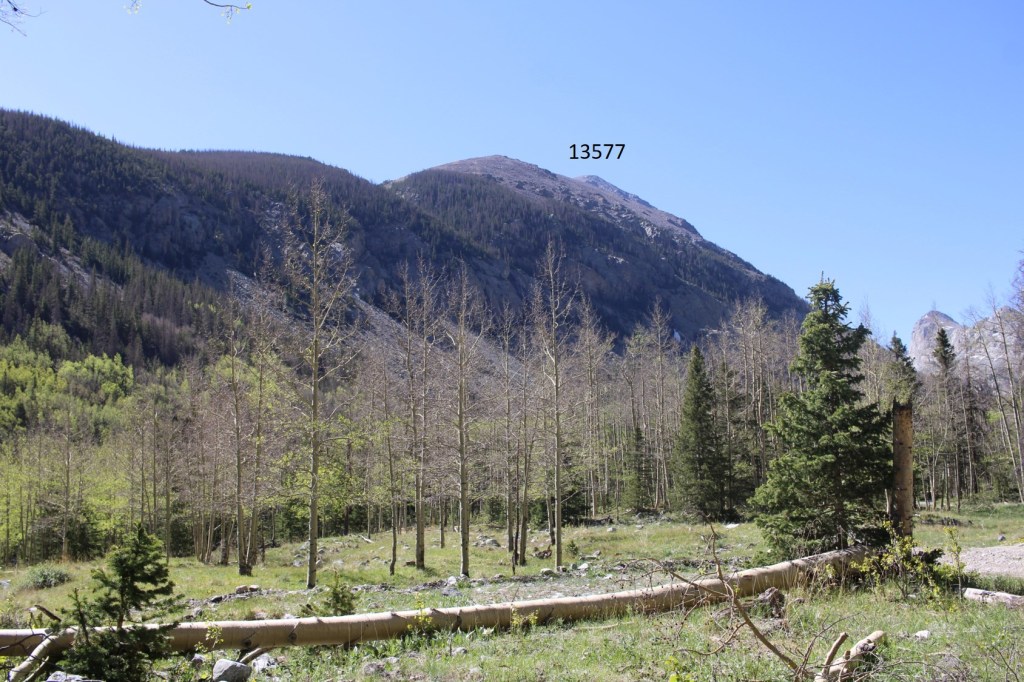
And then could clearly see the summit


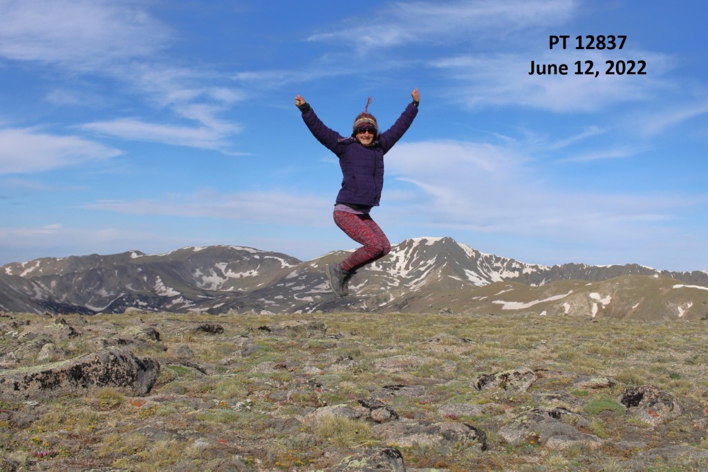
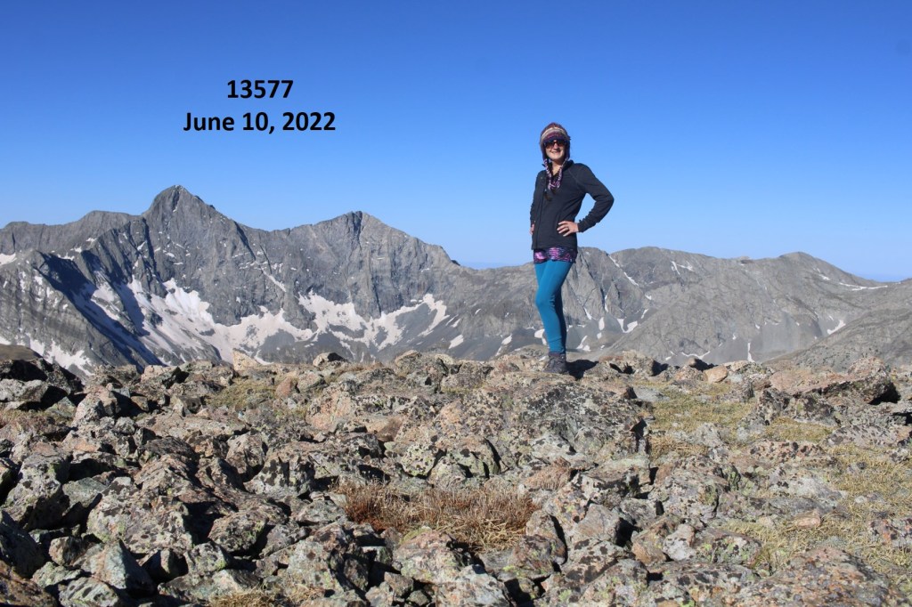
I summited Prize Benchmark at 8:15am. I could still hear that elk barking, but watched as it went in the direction of the herd.
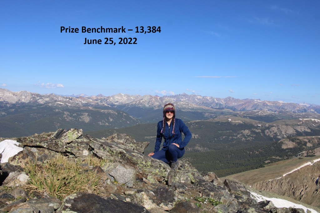
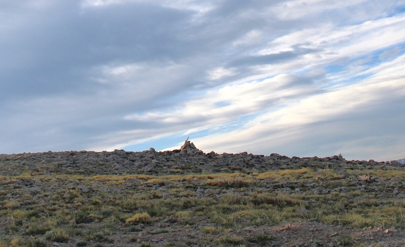
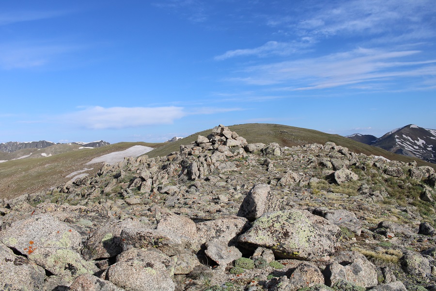
Prize Benchmark:
I turned and re-traced my steps, thinking to myself how much easier this route had been rather than doing this from the other side with Booby and 13460. I aimed for the tundra below.

This time I stayed to the right of the trees, aiming for the grassy rib and gully below
As I was hiking down, I saw something that didn’t fit with the terrain. It was small and brown, and even from a distance, I thought it was an elk calf. IF was curled up, and I was worried it was dead, but seriously hoped it was a misplaced piece of wood.
As I got closer, it was obvious this was an elk calf, and I was sure the elk I’d heard earlier was looking for her baby.
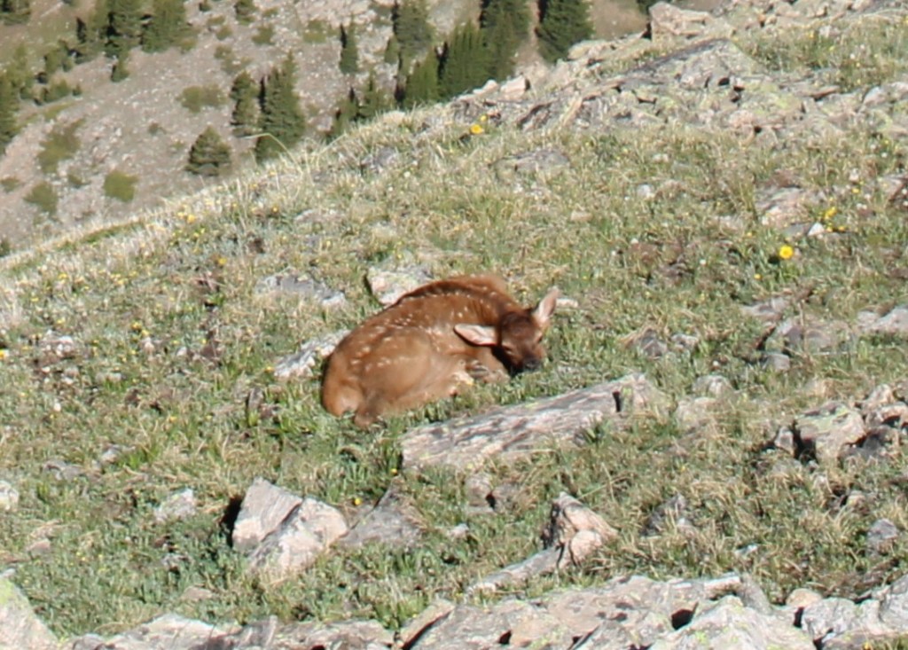
Then, suddenly, the calf popped up and stood on all fours, looking at me straight in the face. I was relieved it was alright, then went into mom mode: I chastised the baby, saying “Your mom’s looking for you! I know you heard her, because I heard her for over half an hour. Go back to your mama!” I pointed to where the mom had gone off to, and the calf ran in that direction.
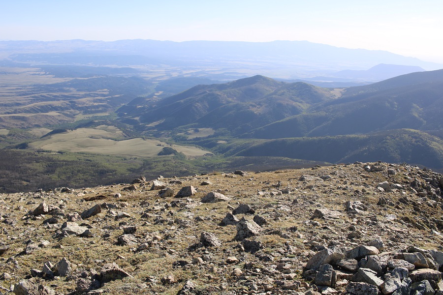
Now to continue on back to the basin
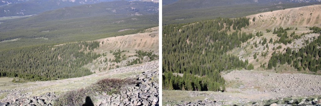
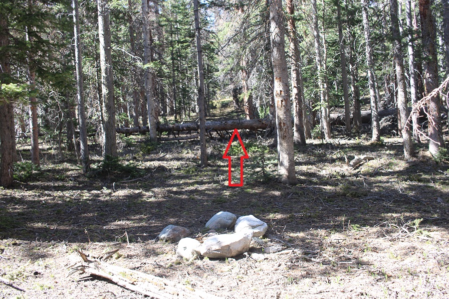
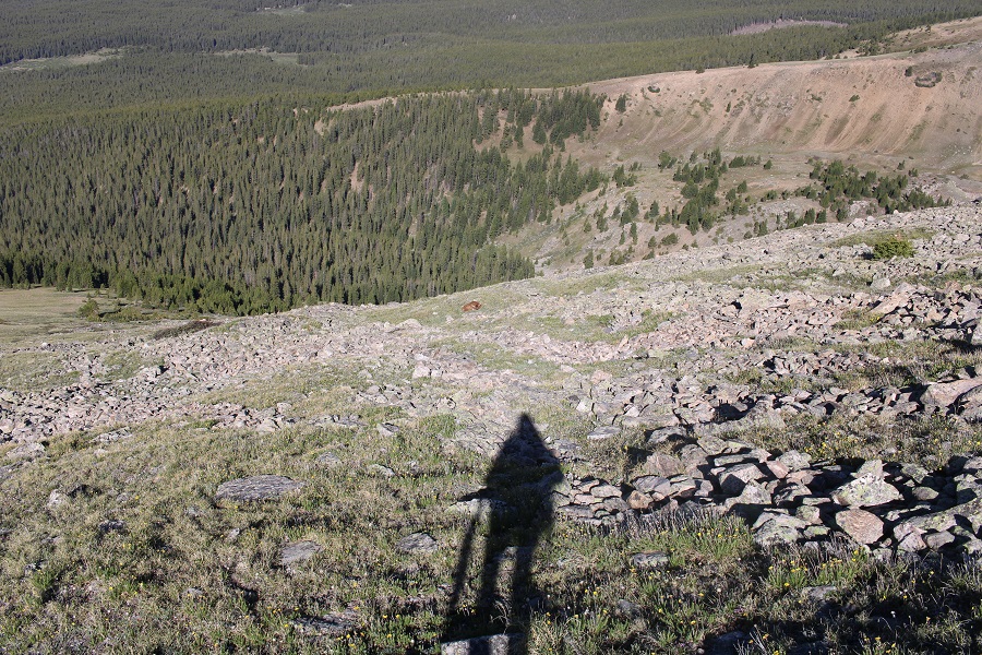
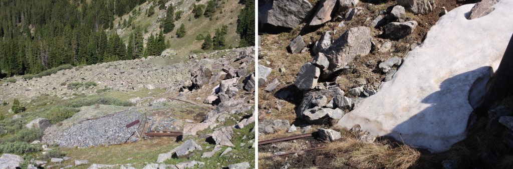
Here’s the route I took out of the basin. While taking this route, I saw something I hadn’t on my way in: remnants of a mine (circled in red). I was going to explore when I made it down there.
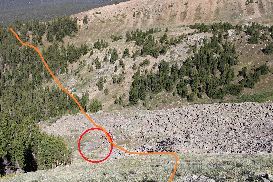
There wasn’t much to see. It looked as if the opening was entirely covered by snow… or a large boulder had been placed to cover the entrance.
I took a few pictures and continued on. Now to regain the ridge.
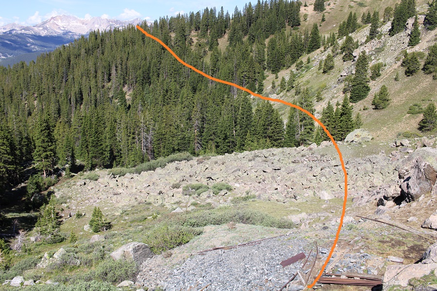
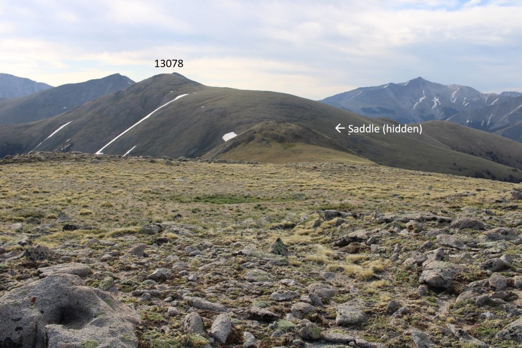
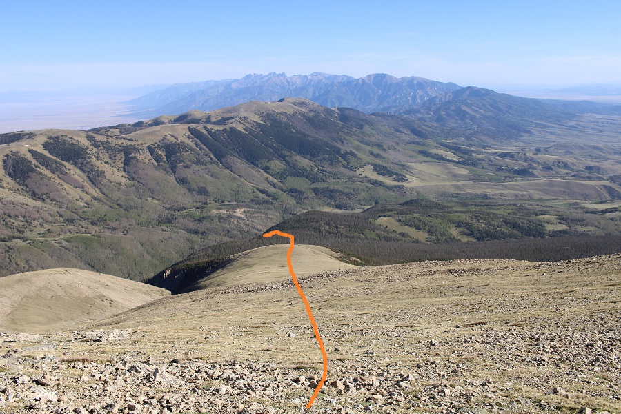
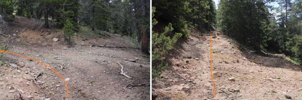
Once on the ridge I stayed level at 11800’ and aimed for the Enterprise Mine, which I could clearly see while on the ridge
Once at the mine I followed the destroyed road back to 584
I then followed 584 back to my truck
When I got there, I stopped my tracker, only to find it had gone all wonky, right at about the time I’d seen the calf, so my mileage was taken from my iPhone (which is usually pretty close to my tracker) and the elevation gain from CalTopo. I made it back to my truck at 11am, making this a 10.4 mile hike with 3996’ of elevation gain in 6.5 hours.
On to the next trailhead!