RT Length: 11.08 miles
Elevation Gain: 3174’
Trailhead: Just before South Fork Lake Creek, where 391 and Trail 1466 meet.
I drove in the night before, so I could start early the next morning. The only problem? I wasn’t able to drive all the way to the trailhead. There was a small ice flow that still hadn’t melted, and it’s the middle of June! It wasn’t very big, but so far no one has been able to cross it.
It wasn’t a big deal, but I did have to back up for half a mile before I could find a place to turn around, which happened to be at a nice campsite at 11,000’, so I parked there

I was up and on the trail at 3:30am, hoping to avoid some of the cold, wet, rainy weather that was supposed to arrive today. No such luck: It was raining when I left my truck, so I put on rain pants and a waterproof jacket and started following the road south.

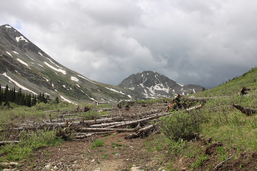
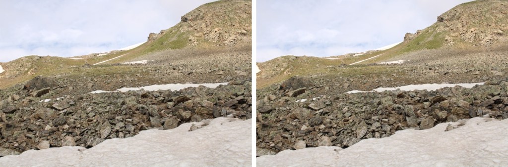
After hiking for .8 miles I made it to the trailhead. Just before reaching the trailhead the road was covered in old avalanche debris.
The trail starts to the left of the gate

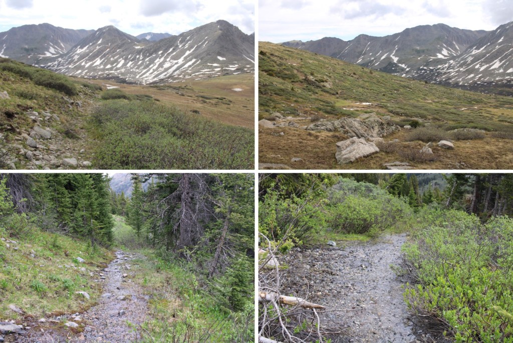
As I mentioned earlier, it was raining. I followed a very wet, willow-filled trail all the way into the upper basin. This trail is class 1, but a bit overgrown since it’s early in the hiking season. It was also teeming with water, and bear tracks (although I did not see any bear scat).

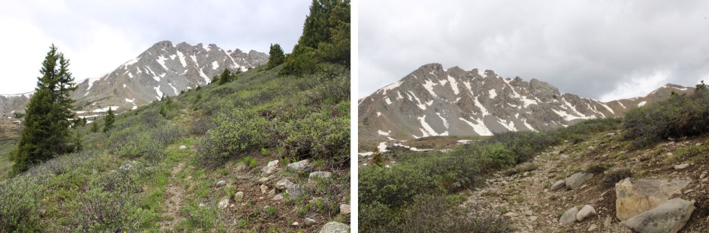
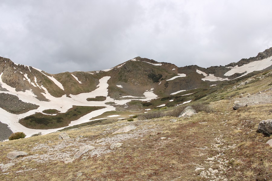
When I made it to the upper basin, I knew I wanted to gain the ridge. I also knew, from yesterday’s experience, that I wanted to gain it from the left, and not the right.
Note: There is a game trail here that goes to the ridge, but most of it was covered in snow. I was only able to see it in bits and pieces on my way up and down. This is the route I took to the saddle
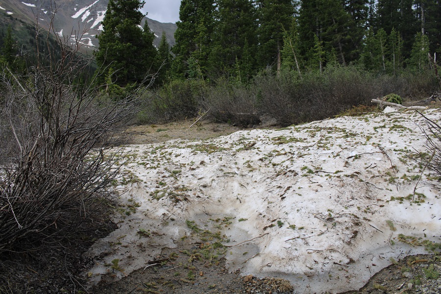
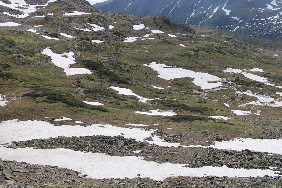
The basin was mush. Not only was it raining, it was warm enough for the snow to thaw, so I was walking on 6 inches of water most of the time. Here’s my route to the ridge
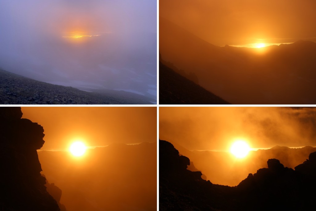
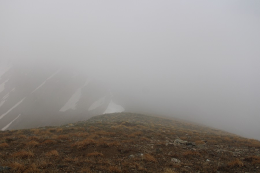
As I was gaining the ridge, the sun was rising. It was a beautiful, misty morning
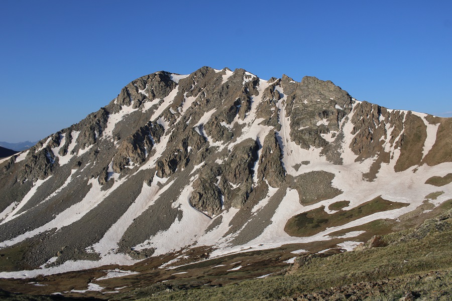
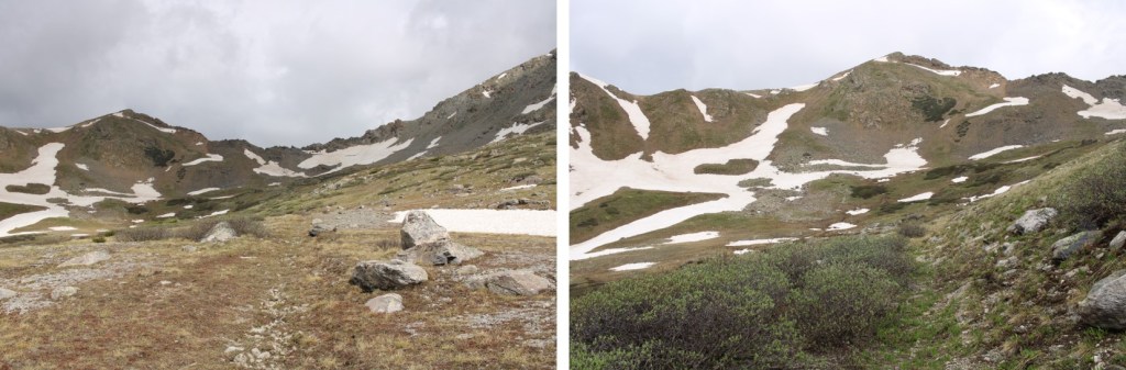
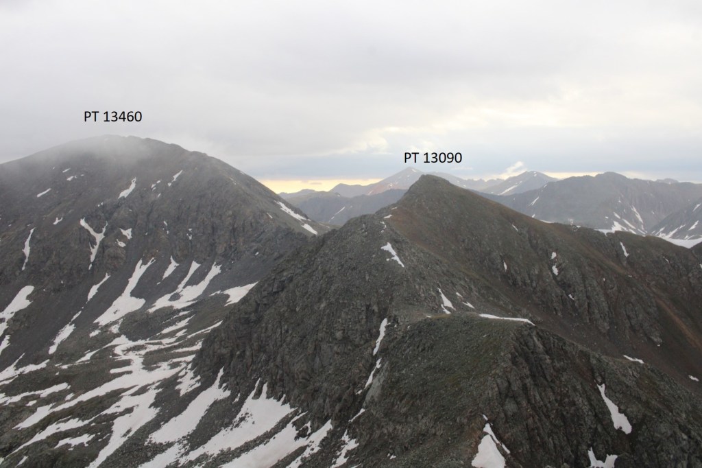
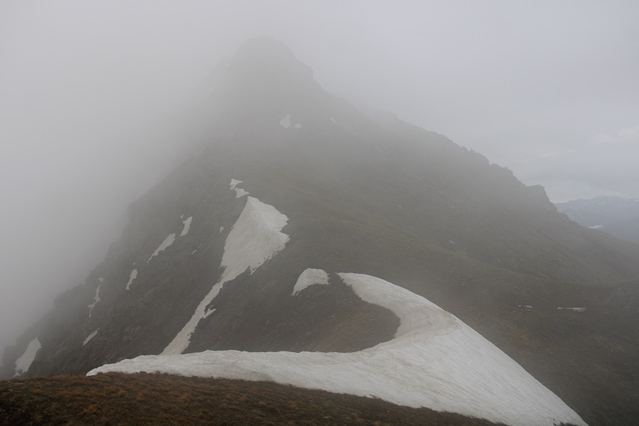
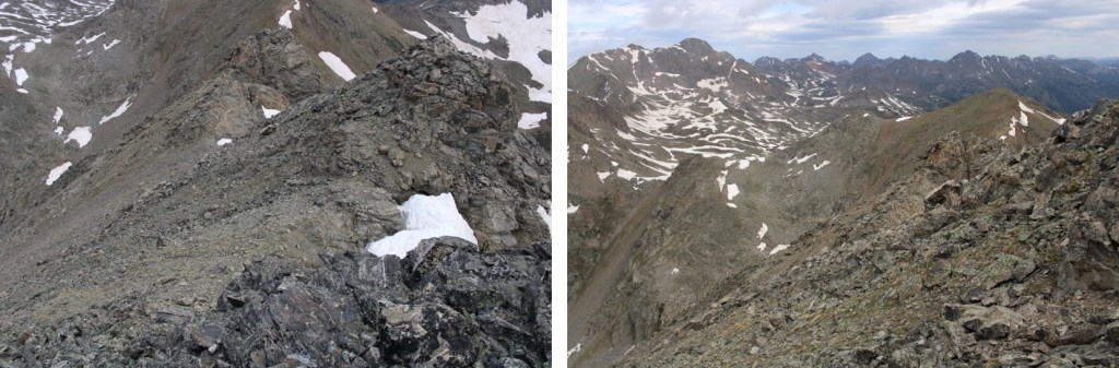
I gained the ridge, and headed over to Prize Benchmark, my first intended peak of the day. As you can see, conditions weren’t ideal:
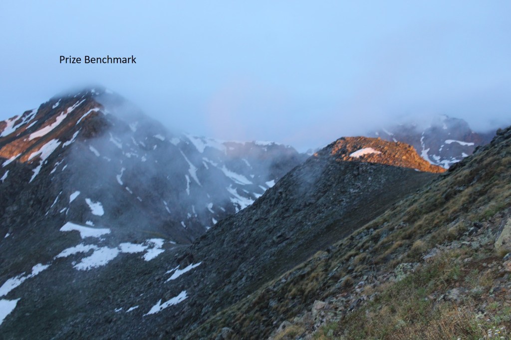
In fact, that was one of my better photos of the day. The clouds kept coming in and out, obscuring my route.
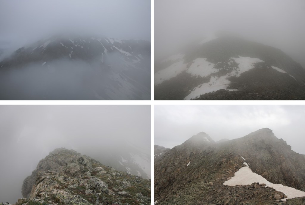
Eventually, I was in class 4-5 territory, and decided to call it and come back another day when I could see what I was doing. I knew I was headed in the right direction, but the terrain didn’t feel safe. I wanted to take the gully, and it was still full of unstable ice.
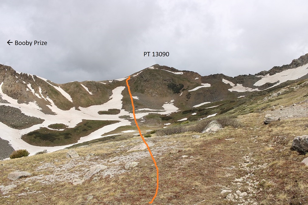
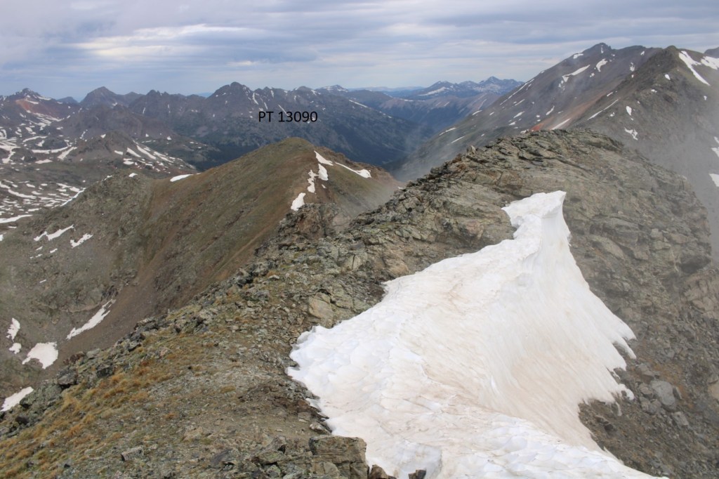
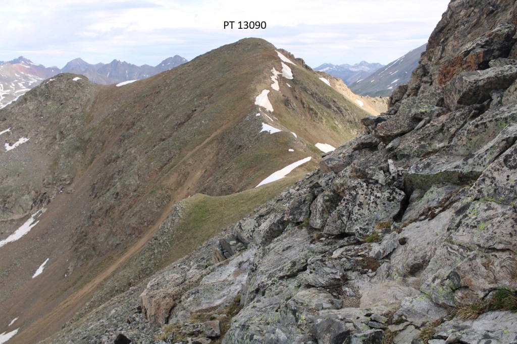
I downclimbed, and headed back to PT 13090. Even though it’s not ranked, I summited it, just because I was there
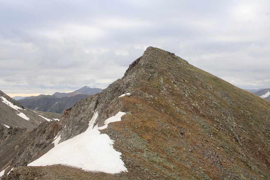
This was an easy ‘summit’
PT 13090:
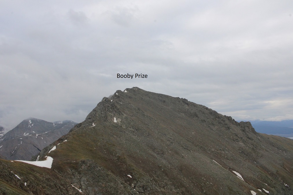
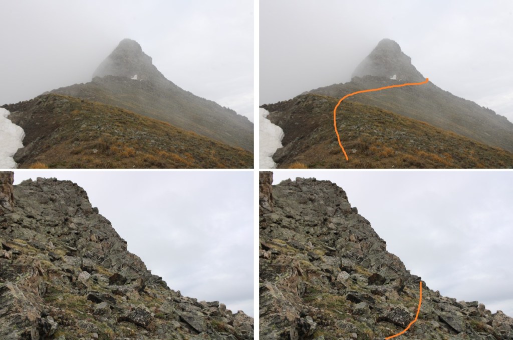
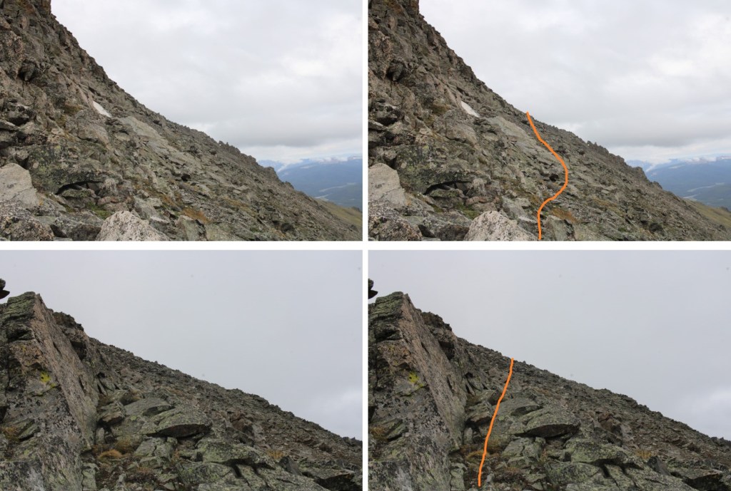
I turned right, and headed southeast towards Booby Prize
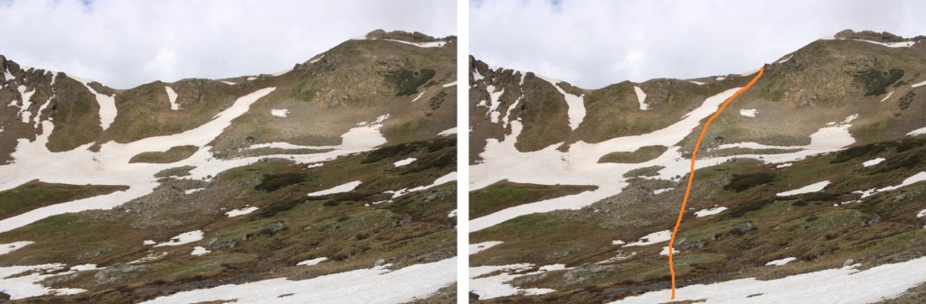
Here’s the overall route I took, avoiding the rock slabs and snow. This was all class 2, with some loose scree/rocks to navigate
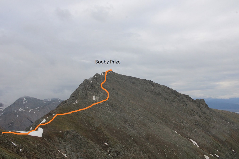

The clouds picked up again, obscuring my view, but luckily, this was all class 2
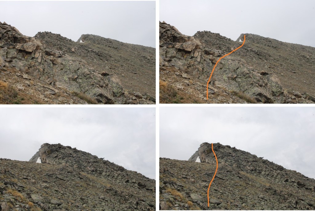
Here are some step by step pictures
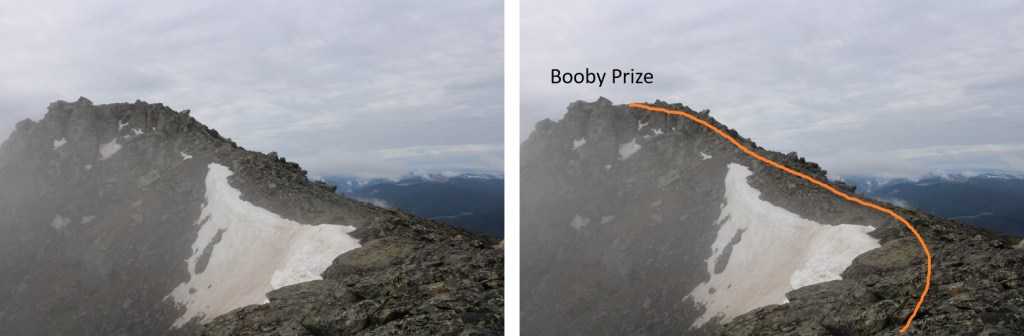
I summited Booby Prize at 8:10am
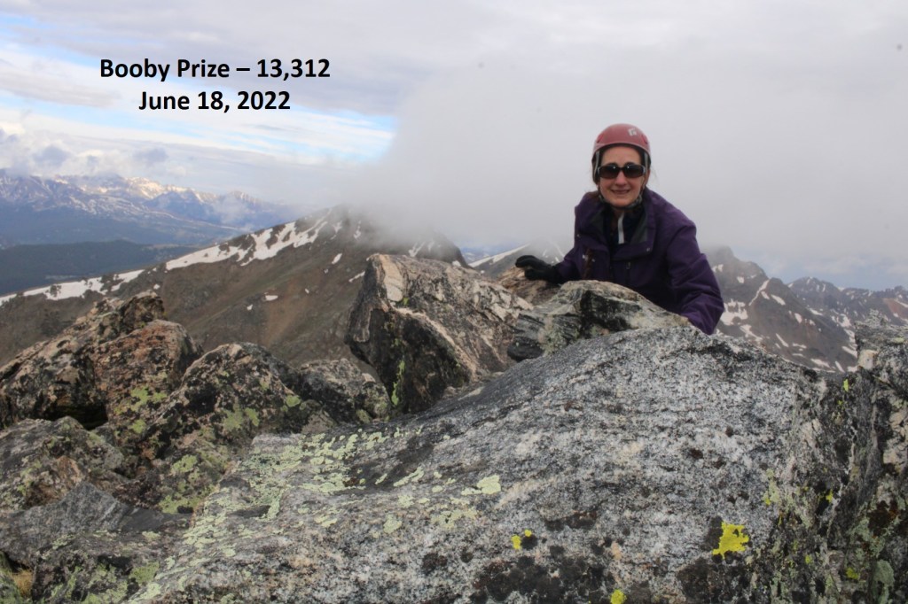
Booby Prize:
Nasty weather was predicted for the day, so I decided to re-trace my steps and head back to the PT 13090/Booby Prize saddle

Back on the saddle, I could see the game trail that led down, but it also went right through a large patch of ice, so I went a little further up the saddle to find a snow-free route.

Here’s my route back to the trail

The route down was obvious
And the trail was easy to follow, if wet, back to my truck

I made it back to my truck at 10:30am, making this a 11.08 mile hike with 3174’ of elevation gain in 7 hours.

On to the next trailhead!
