
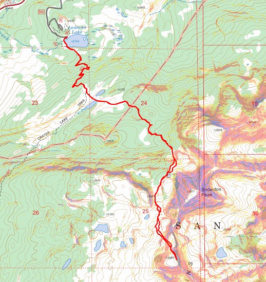
RT Length: 8.15 miles
Elevation Gain: 2416’
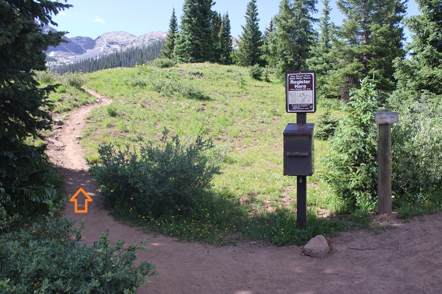
I once again started from the Andrews Lake Trailhead. When the bathrooms are clean this is a really nice trailhead, up close and personal with Andrews Lake. It’s also quite popular in summer, so get there early (yes, they have plenty of parking and an overflow lot, but it gets busy).
The trail starts by skirting the lake from the parking area and then ascends about 1.2 miles to a junction.

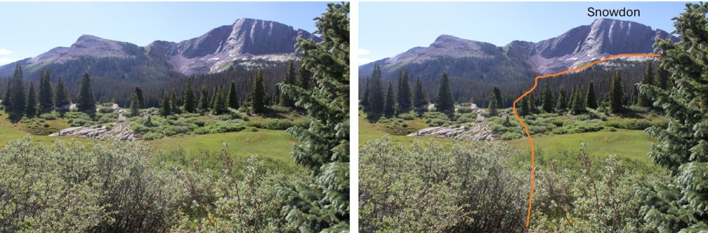
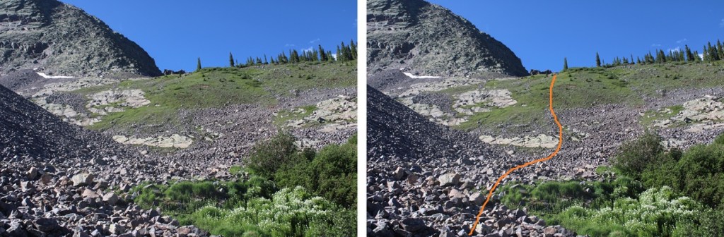
At the trail junction I went left and followed the trail through a meadow and towards the basin below Snowdon Peak. If you’ve done the West Buttress of Snowdon, it’s much of the same route. Here’s the basic overall route to the upper basin:
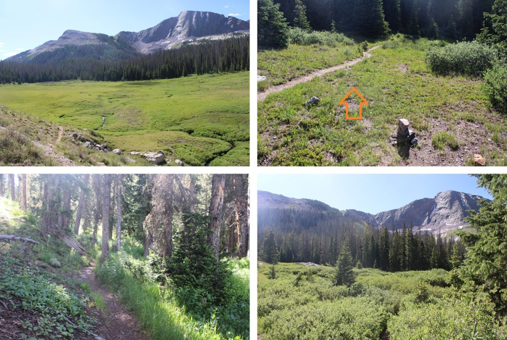
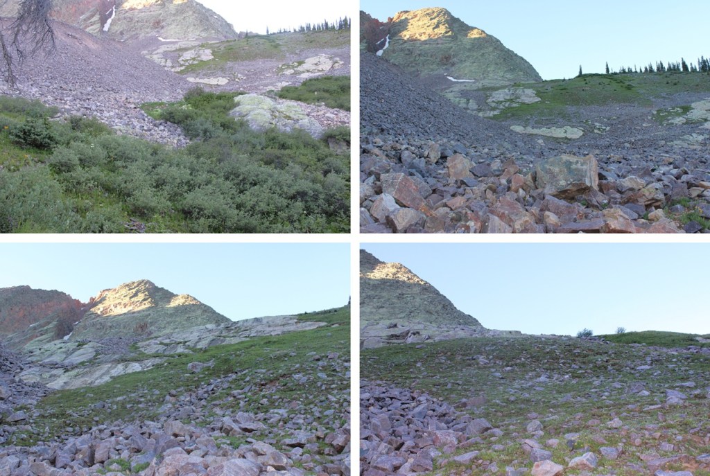
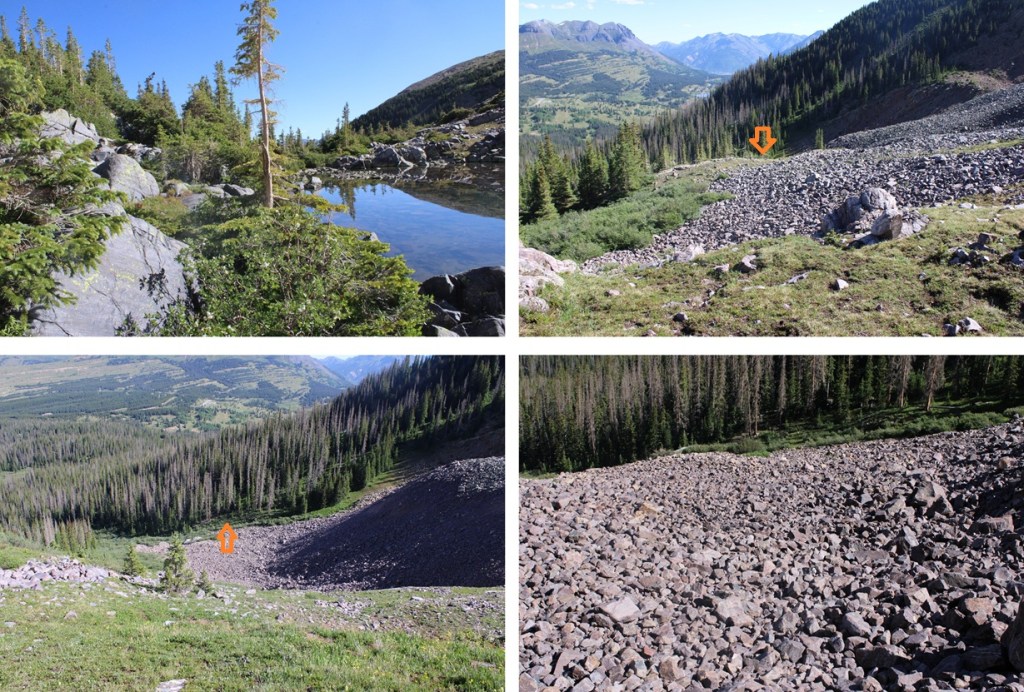
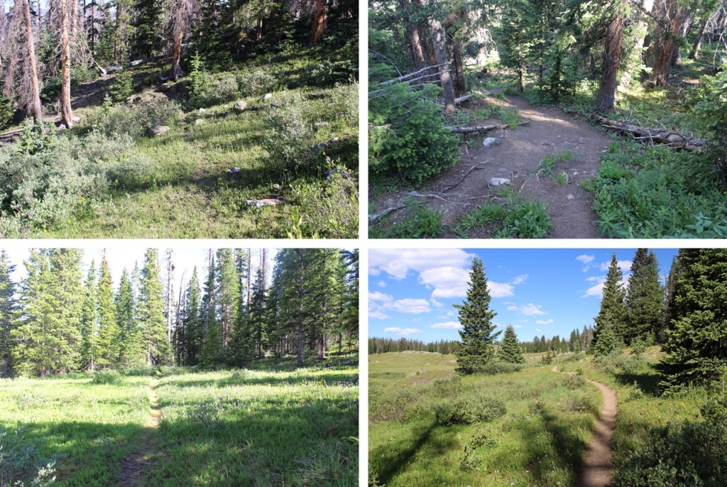
And some pictures of the way to the lower basin. I was lucky enough to see a herd of elk this morning.

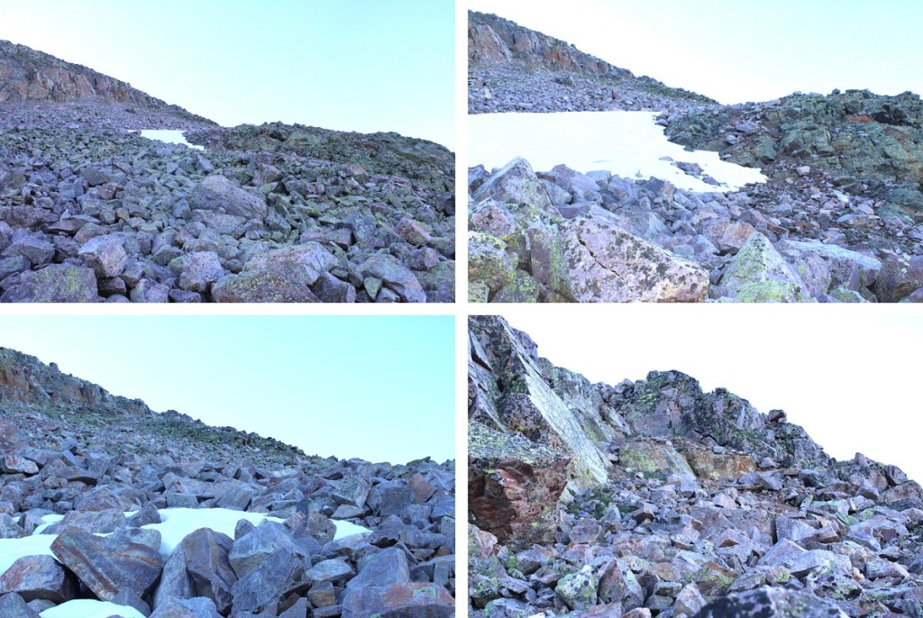
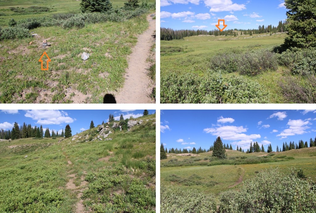
At the base of the basin it’s time to leave the trail. I’d hiked about 2.7 miles to this point. Here I left the trail and headed southwest into the upper basin.
Heading southwest in the upper basin I came to a small pond and skirted it on a game trail to the west.
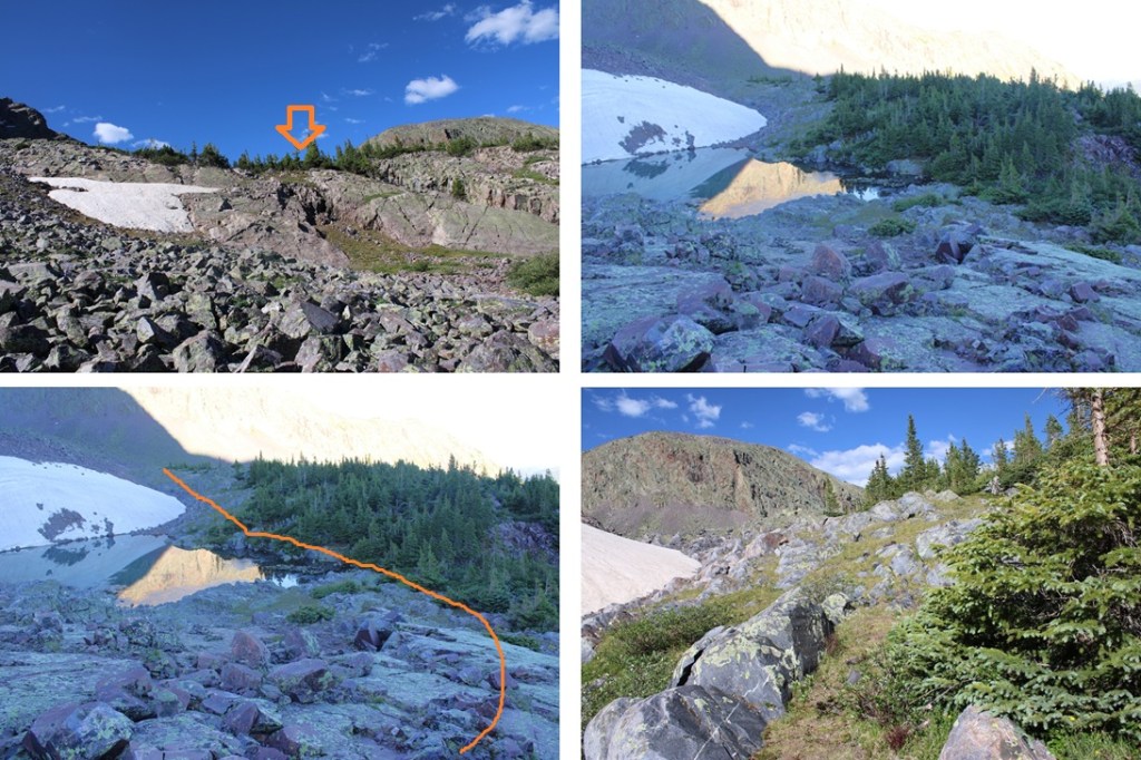
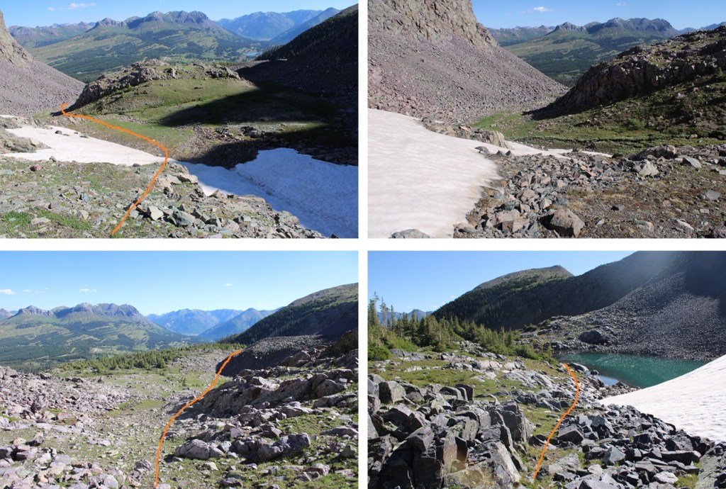
After skirting the pond, I came to a bit of a ravine. I followed it south. The route is a bit obvious, and the terrain is easy to navigate. You can’t really get lost if you keep heading south. Access to N2 will eventually be on your left.
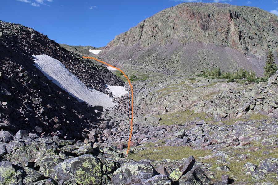


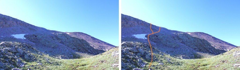
When I made it to 12355’ I started heading over towards the ridge. This is class 2 to the ridge and choose your own adventure. I was trying to avoid the rock outcropping. Most of the route is full of loose rock and boulders. I ascended the left route, descended the right route, and both were loose and a bit miserable, but the left route was a little more stable. Here’s the overall route:
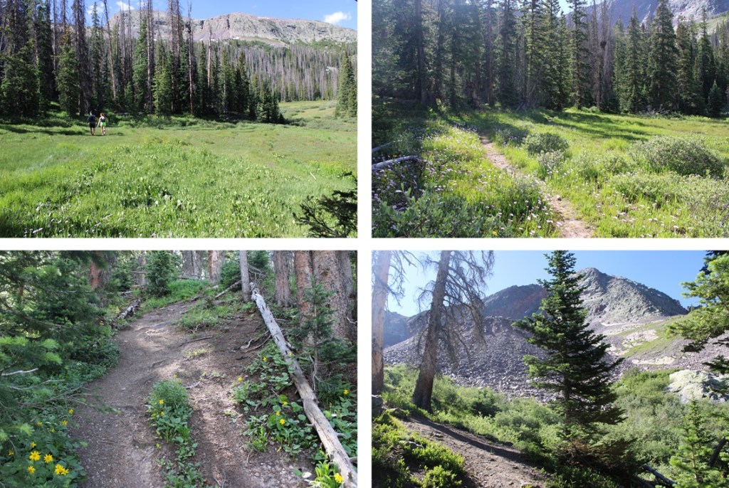
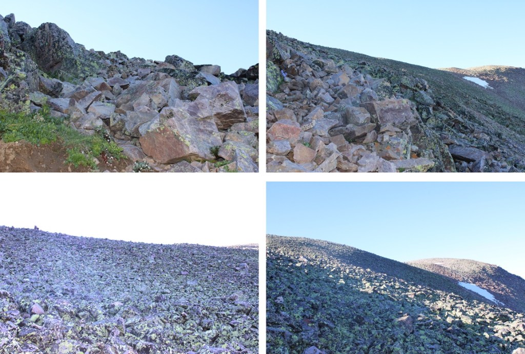
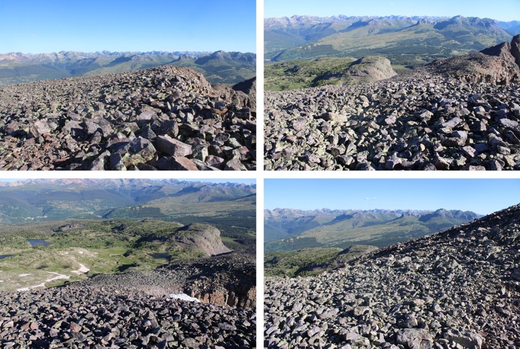
And some pictures of my way to the ridge
Once on the ridge I followed it southeast to the summit. Once again, very rocky, but all class 2.
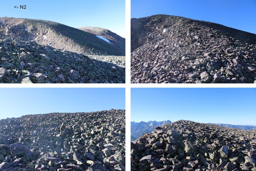
I summited N2 at 8am
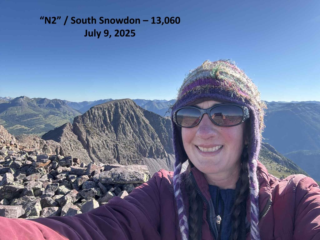
N2:
This was my only peak for today, so I turned around and headed back the way same way I’d summited. I headed northwest down the ridge
Then back down into the upper basin on a slightly different route. Lots of loose rocks here.

Once I was done with the rocks I turned right and followed the upper basin north, staying on the grassy areas.

I came to the small pond and skirted it to the left, and then headed down into the lower basin and back to the trail
Then it was a quick 2.7 miles back to the Andrews Lake Trailhead

I made it back to the trailhead at 10:15am, making this an 8.15 mile hike with 2416’ of elevation gain in 4 hours, 45 minutes.
On to the next trailhead!
