RT Length (from Stewart Mine): 3.2 miles
Elevation Gain (from Stewart Mine): 1500’
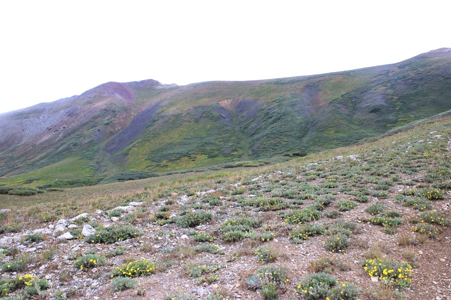
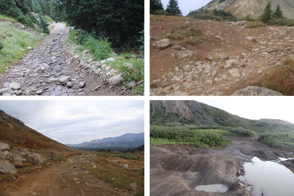
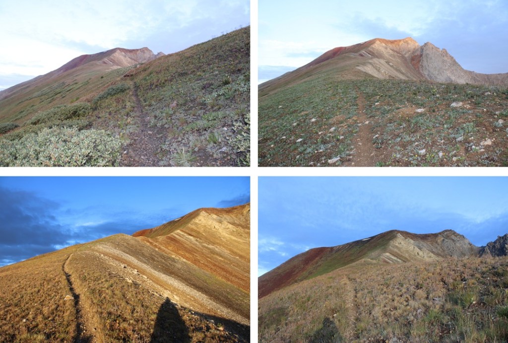
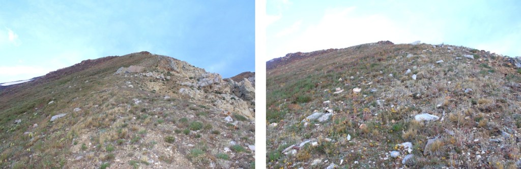
This was my second attempt at Italian Mountain. Earlier this month (August) I hiked in from Spring Creek Reservoir and got turned around at Stewart Mine due to a summer snowstorm. Actually, it was the thunder that turned me around. If you do take the route from Spring Creek Reservoir you take 880 until it becomes a dirt road. If you have a 2WD vehicle leave it there in the parking/camping area. If you have a capable 4WD vehicle and competent driver you can take it another mile to the trailhead (at the end of the narrow road). There is one large campsite just before the trailhead on the left-hand side. You can then take the Italian Connector Trail to treeline, turn left at the only junction (the one with 4WD road 759), and follow it to Stewart Mine. It’s about 3.5 miles and 1500’ of elevation gain to Stewart Mine on a class 1 trail that starts with a creek crossing and is very easy to follow. I don’t have a lot of pictures of this part of the route because I either hiked it in the early morning dark or in whiteout conditions from the snow. Here are a few pictures of the route to treeline:

When I got to Stewart Mine a dark cloud descended from the ridge of Italian Mountain and within minutes I was in a minor blizzard. I hunkered down for 15 minutes waiting for it to pass, but when the thunder started I headed back down to treeline. Half an hour later I realized this summer storm was going to last a while and descended back to the trailhead to try again another time. It rained/hailed/sleeted/snowed the entire way back to the trailhead.
However, I hadn’t been expecting to see that 4WD road, so it got me thinking… could I drive up it? The short answer is no. My Tacoma could not drive this road, but my side by side could. So I drove the side by side from 742, turned left onto 759. There are a bunch of campsites along 742 and 759, but at the junction or near it is a great place to leave your 2WD vehicle. It’s where I left my 4WD Tacoma and started out on the side by side. From the junction it’s about 10 miles and 2300’ of elevation gain on a difficult 4WD road to Stewart Mine that follows Italian Creek and goes around private property (there are signs directing you on the road where you can legally drive). My Tacoma could not have made it to the mine. I’d strongly suggest either hiking in from Spring Creek Reservoir to the mine or taking a truly off road capable vehicle to the mine. Here are some pictures of the road in. Notice I don’t have many, because I was white-knuckling it the entire way.
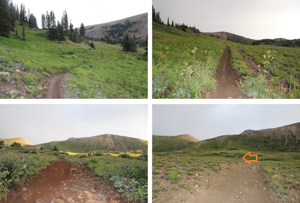
I was on the trail at 6am. The trail starts directly behind Stewart Mine at 10230’, and is fairly obvious.
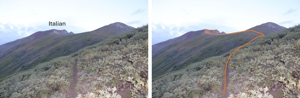
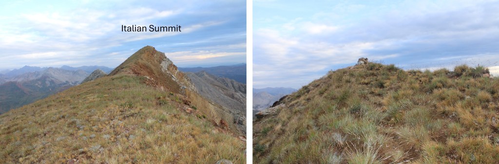
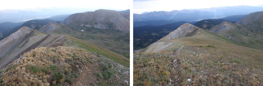
I followed the trail west and then northeast as it gained the ridge. The trail was very easy to follow the entire way, with no junctions. Here’s the basic route:
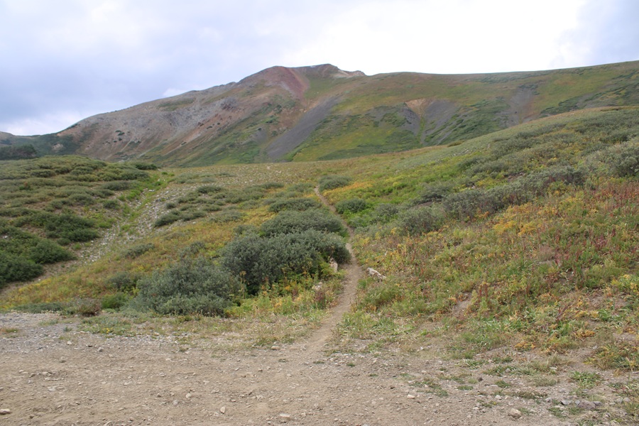
And some pictures of the route to the ridge:


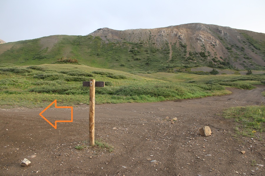
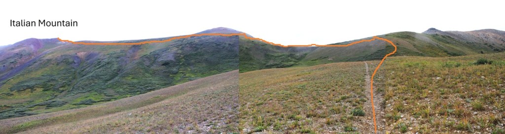
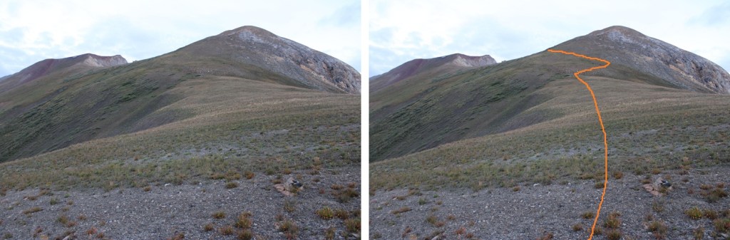
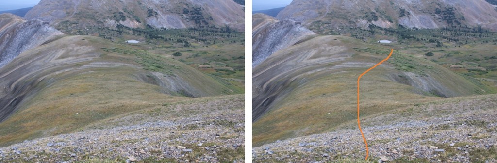
Once on the ridge I followed the trail west. Here’s the overall route:
There was one time the trail kind of disappeared, but it was easy to see where it picked up along the ridge in the distance.
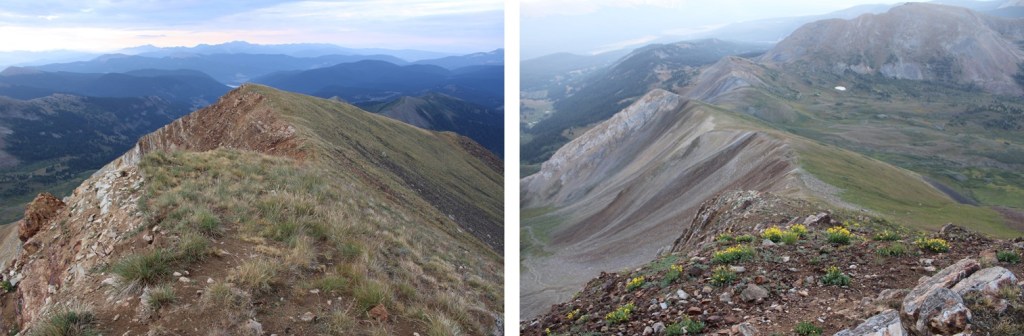
I continued following the ridge (staying just to the left of the ridge) on this class 1 trail until I made it to 13180’. Then I made the hike class 2 by leaving the trail and climbing straight up the ridge. When I hit the top turned right and hiked a short way to the summit. Alternatly you could follow the trail the entire way to the summit (something I didn’t know until I was on my descent).
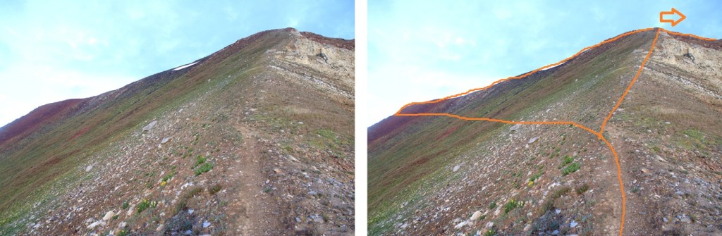
The last 20 yards or so was class 2 terrain, but easy tundra as I headed northwest.
I summited Italian Mountain at 7:10am. It was a rather gloomy day, but I was glad the weather held out this time.

Italian Mountain:
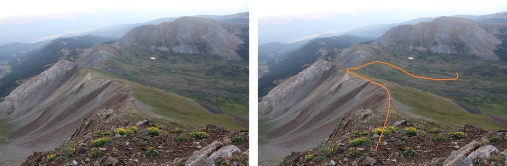
This was an out and back hike for me, so I headed south, then took the ridge back to the trail.
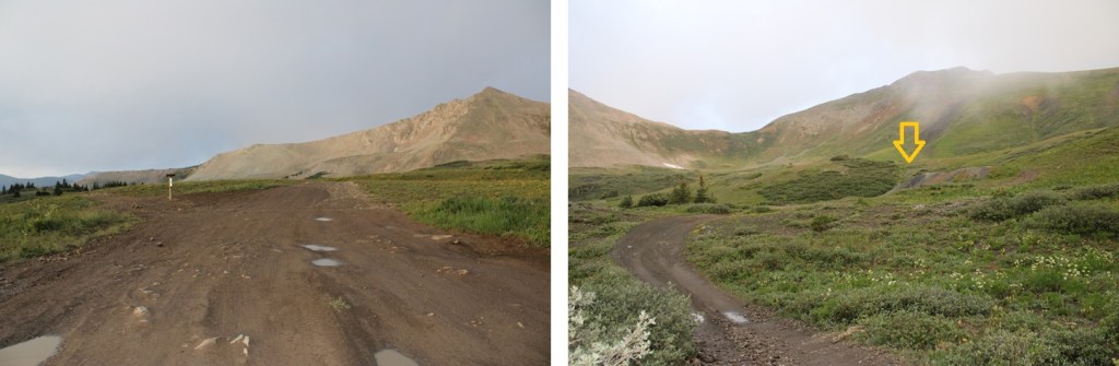
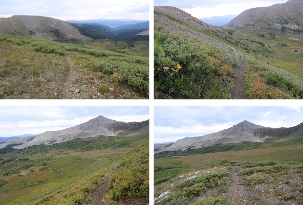
Here’s an overall view of my route back down to the mine
Here’s that spot where the trail vanishes for a bit
And then it picks up again and led me right back to the mine

I made it back to my campsite at 8am, making this a 3.2 mile hike with 1500’ of elevation gain in 2 hours.

The black line is my drive in from Spring Creek Reservoir, the purple line is my drive in on 759, and the red line is my hike.

On to the next trailhead!
