RT Length: 12.5 miles
Elevation Gain: 3253’
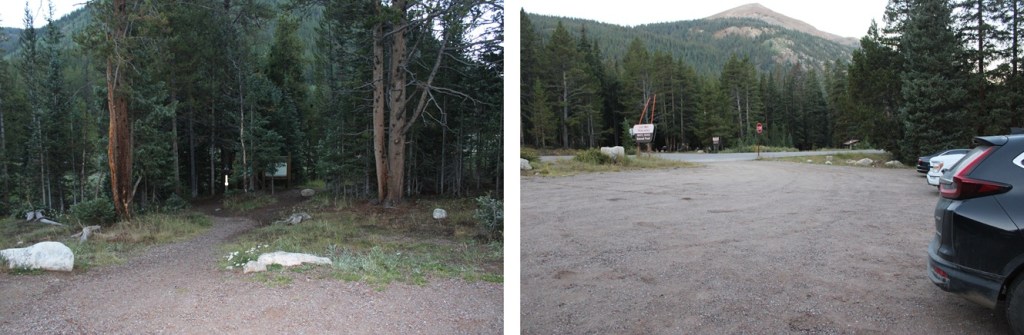
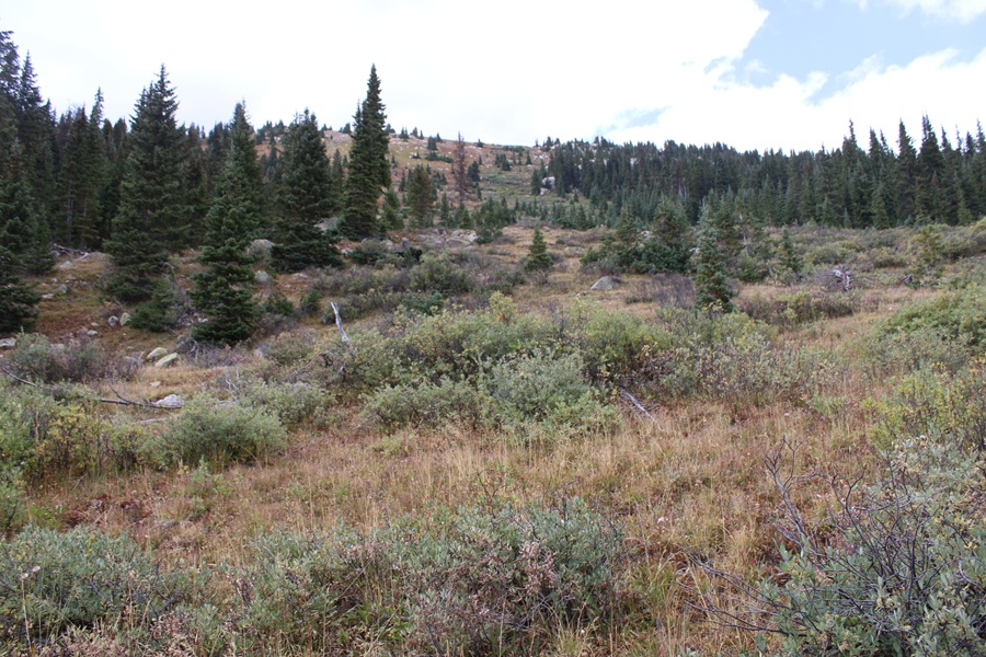
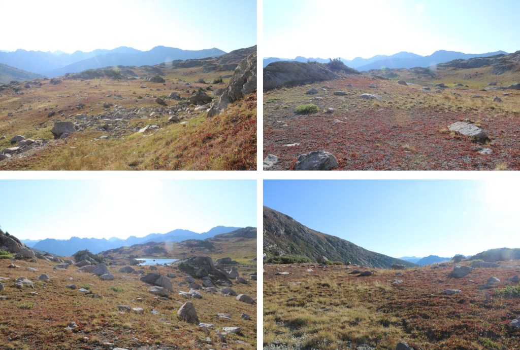
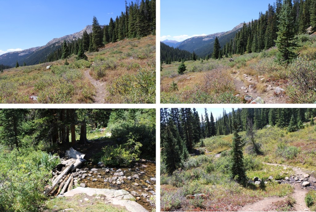
This was my final peak in the Williams Group. I didn’t want to do the traverse but instead wanted to camp in remote basins and find alternate routes. I thoroughly enjoyed the solitude of this peak. I started from Lost Man Trailhead at 2pm and made it to my campsite by 4:45pm. From the trailhead I headed northeast for 3.75 miles on the class 1 Lost Man Loop trail.
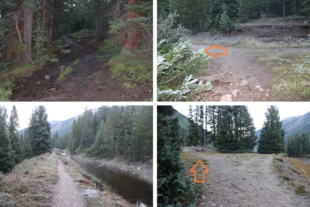
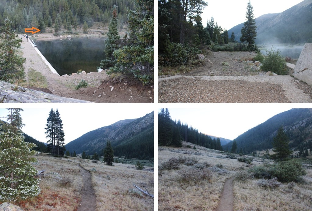

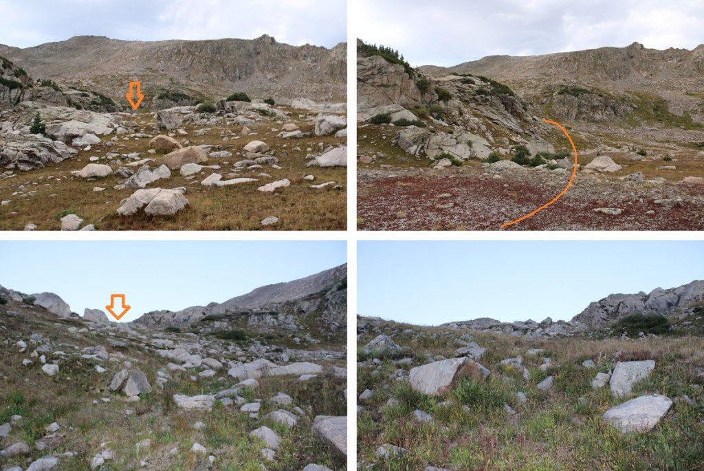
After following the trail for 3.75 miles and at 11370’ of elevation I came to an obvious avalanche area to my left.
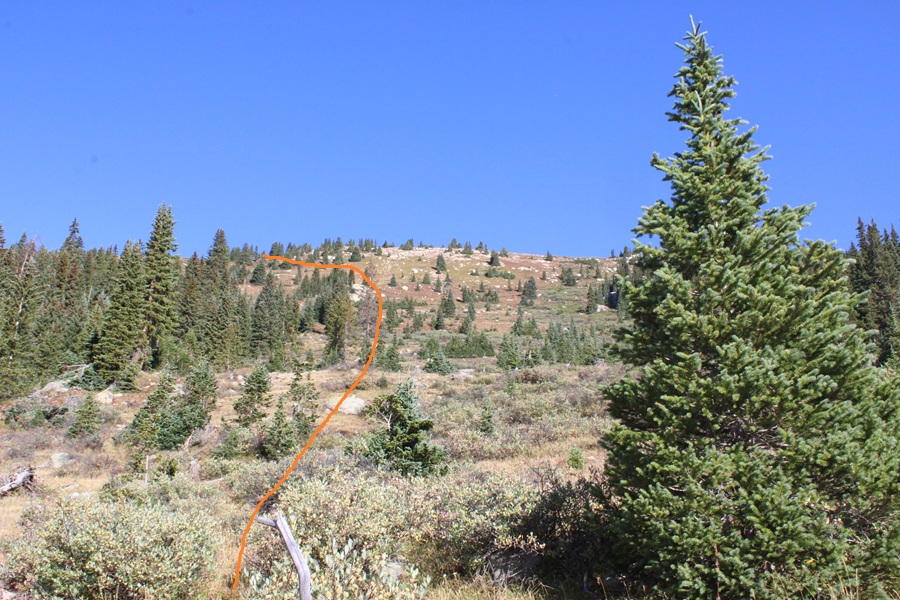
I followed the avalanche run northwest to treeline. I didn’t head straight to the trees but diverted a bit to the left to make it to the ridge. This was by far the most difficult part of the hike, as the elevation gain is steep.


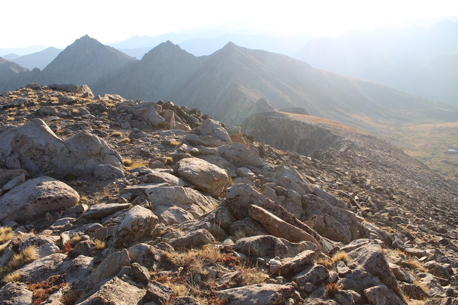
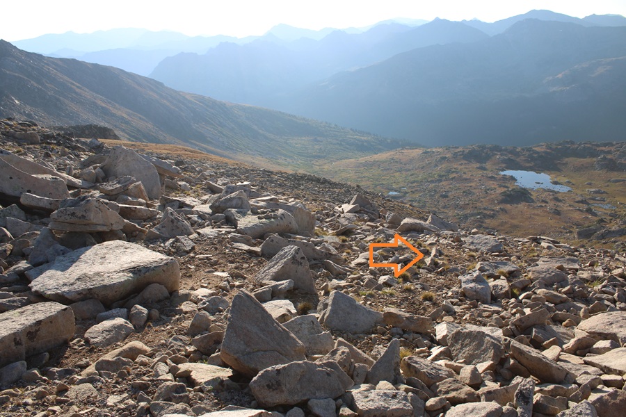
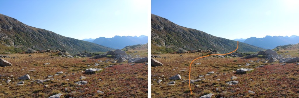
At the top of the avalanche run I could see a large unnamed basin (on a topo map it’s north of Scott Lake). This was where I planned on setting up camp. I could also see the rest of my route to the summit. As you can see from the picture, I needed to lose about 200’ of elevation as I headed into the basin. There are tons of willows here, but also several game trails to navigate through them.
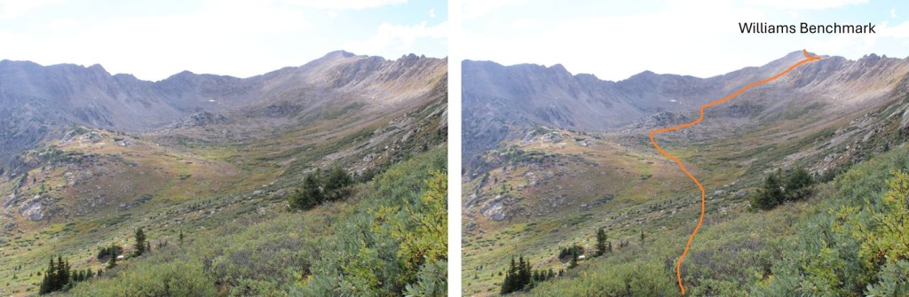
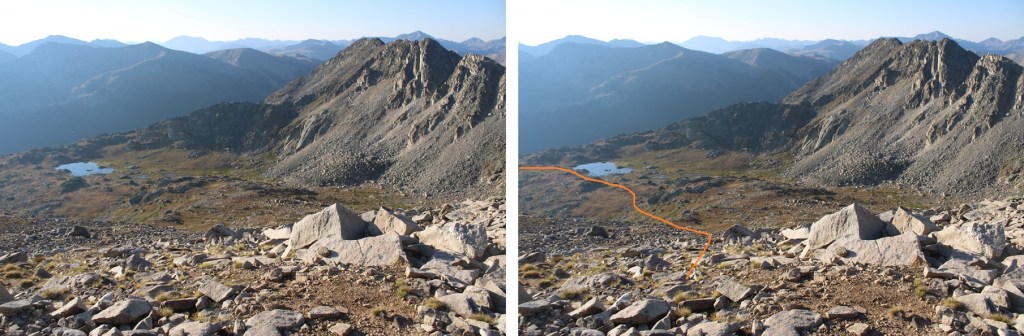
I headed west and found an unnamed lake/pond at around 12150’, went past it and found a campsite.
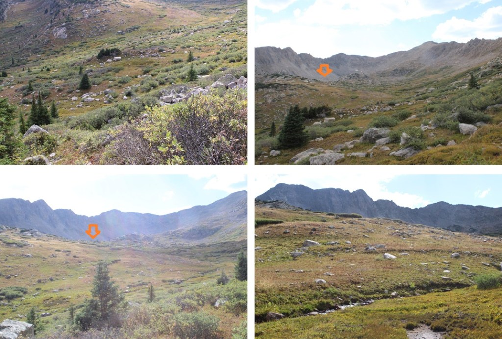

After spending a wonderful night in the basin I was up and hiking again at 6:30am. I started by finding an easy gully and ascending it west.

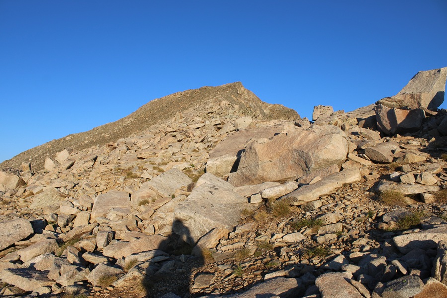
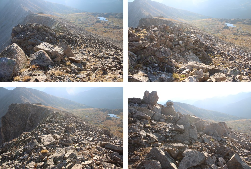
At the top of this small gully I turned right and headed up the ridge. To make it easier for me I looked for large boulders to the northwest and followed them to the ridge. This entire hike is class 2, and ascending the ridge was easier than ascending the avalanche run.
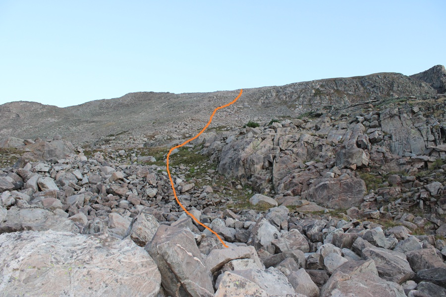
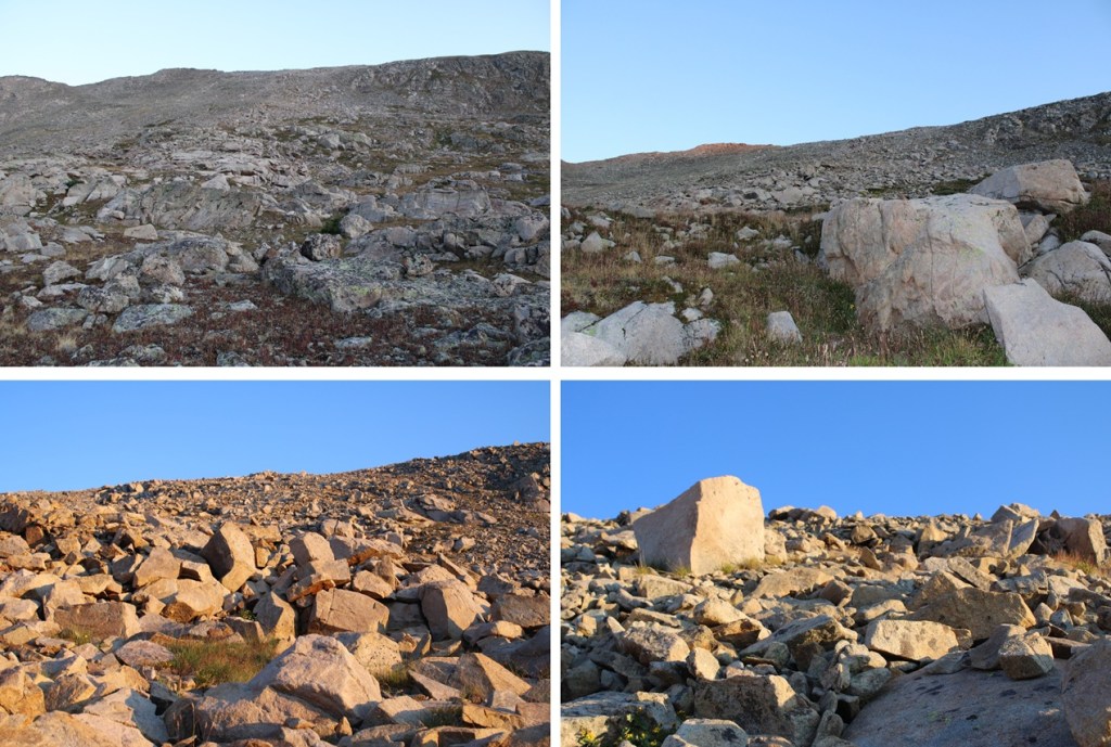
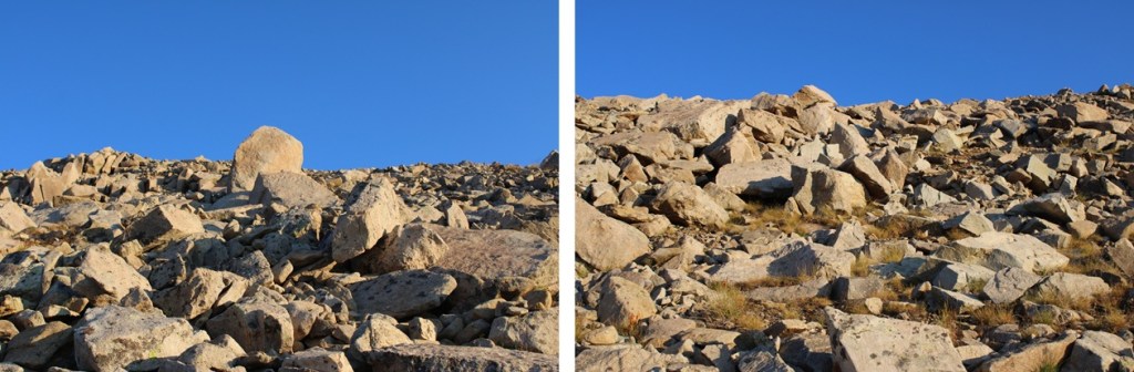
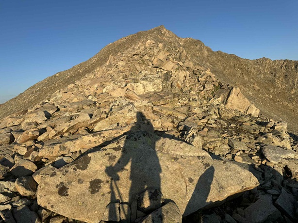
Once on the ridge I turned left and followed it west to the summit. The ridge proper goes at class 2. This was an easy yet rocky trek.
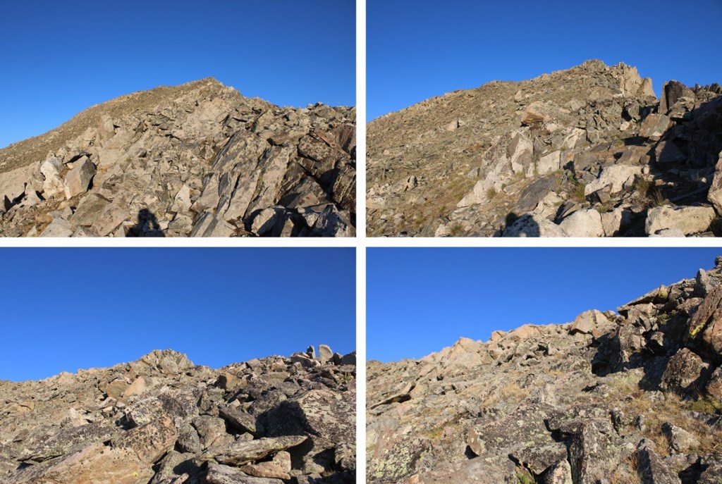
The true summit was difficult to determine, as there were two humps very close together on the relatively flat summit and both looked higher than the other, so I walked all around the summit to make sure I stood on the actual summit itself.

I summited Williams Benchmark at 7:25am
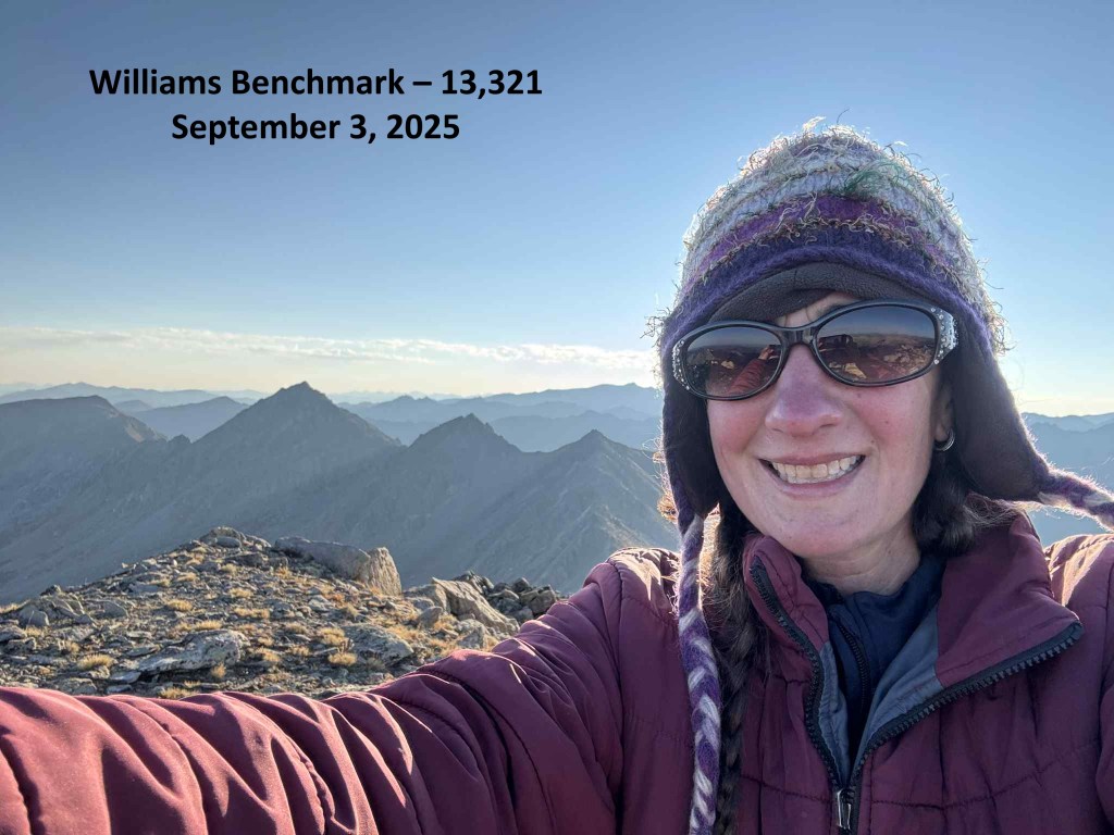
Williams Benchmark:
This was an out and back hike for me, so I turned around and descended the ridge the way I’d summited, heading east.
Just before the grassy area on the ridge I turned right and descended southeast back into the basin.
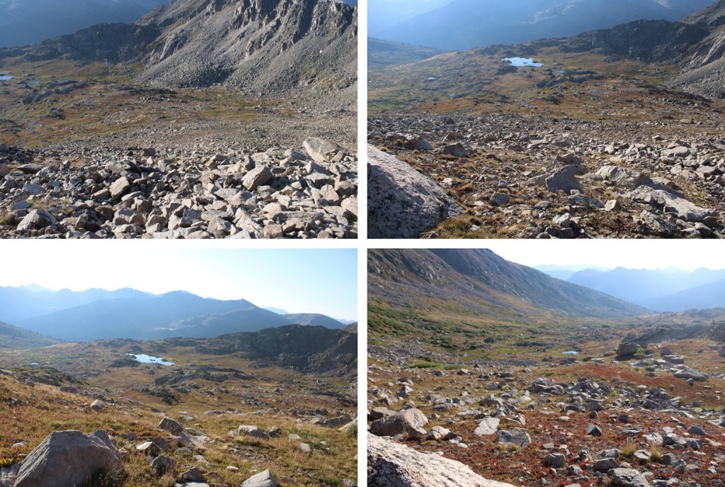
Back in the basin I would need to regain that 200’ to the ridge above the avalanche slide.

Then it was back towards Lost Man Trail, heading southeast down the ridge.

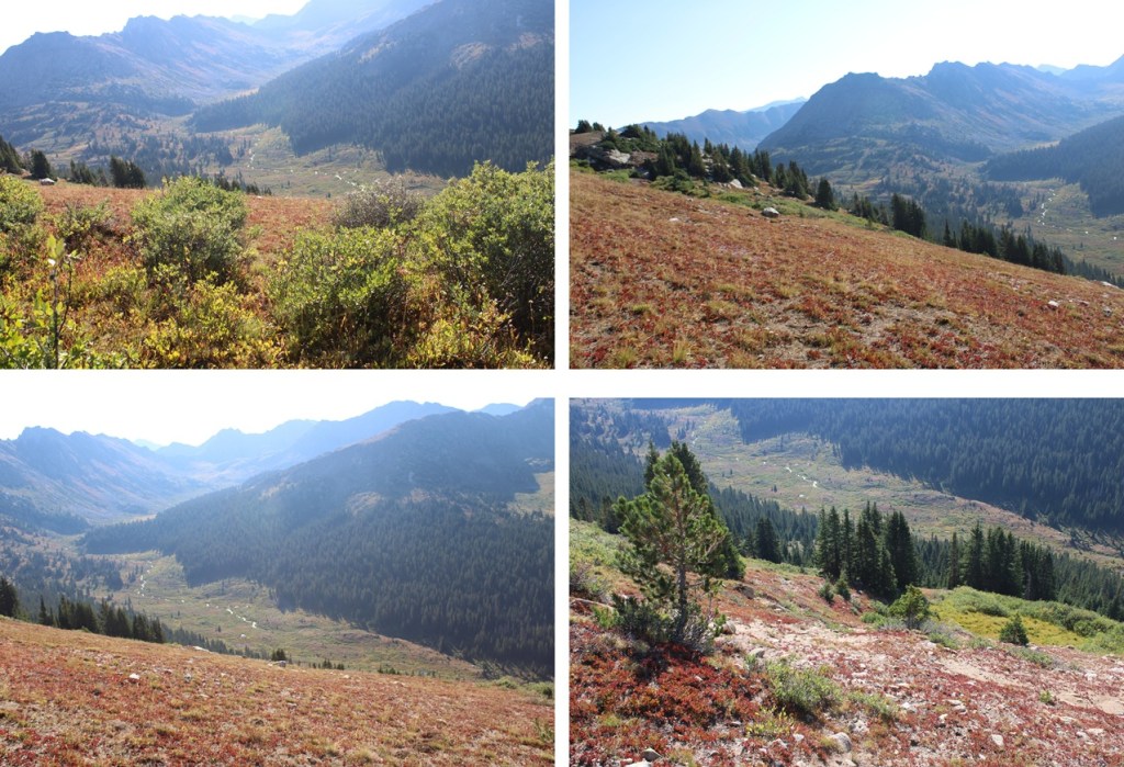
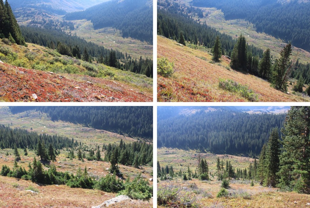
Back on Lost Man Trail I followed it southwest to the trailhead.

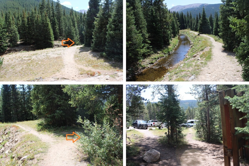
I made it back to my truck at 10:40am.
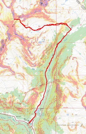
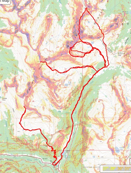
This finished my peaks in the Williams Group. Here’s a topo from all the peaks I did in the area, avoiding the traverse. If anything, they can serve as bailout points if needed.
And here are their individual trip reports:
On to the next trailhead!
