Overlook Point – 13,005

RT Length: 8.89 miles

Elevation Gain: 1872’

This one felt way too easy.  The most difficult part was the drive in.

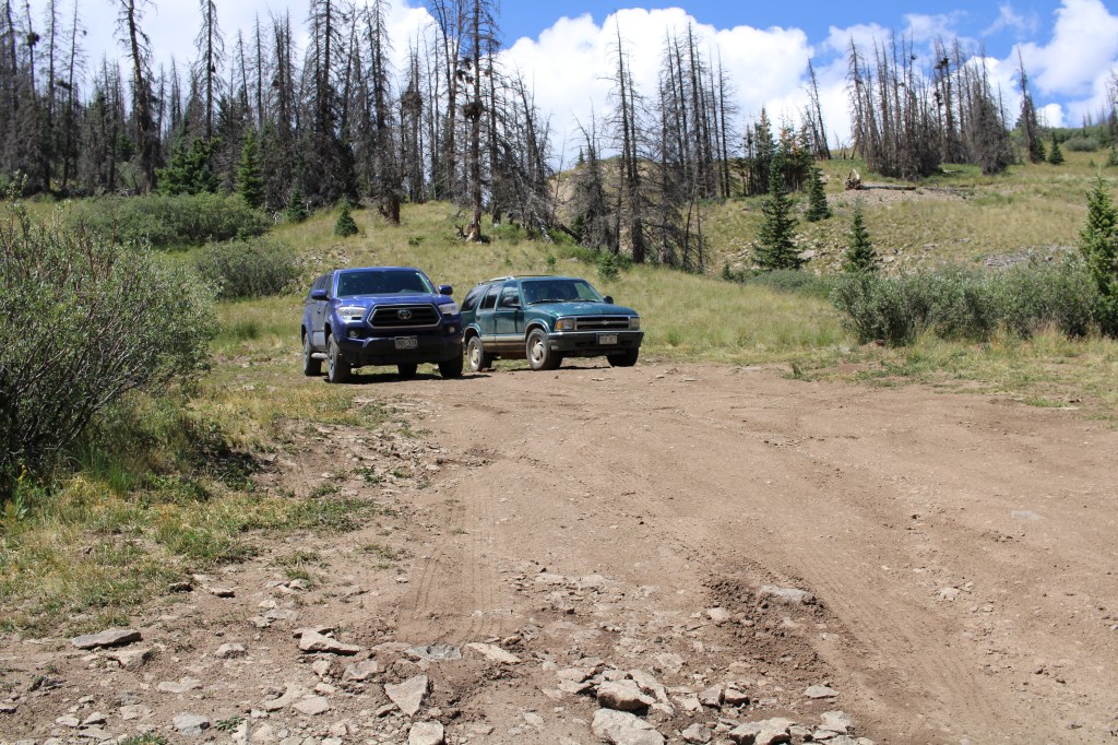
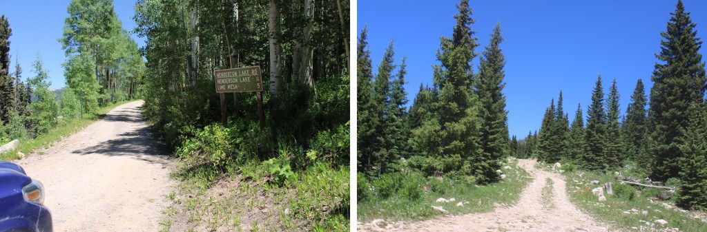
The road to Lime Mesa Trailhead is mostly 2WD.  Mostly.  At the turnoff point just before Henderson Lake it’s another 5 miles to the trailhead.  The road stays 2WD for about 2.5 miles, then becomes 4WD.  The road just gets worse as you drive, so as soon as you feel uncomfortable with the conditions pull over and park.  There are several dispersed camping areas along the road. 
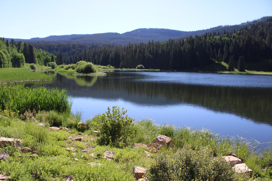
Henderson Lake:

Road after Henderson Lake:

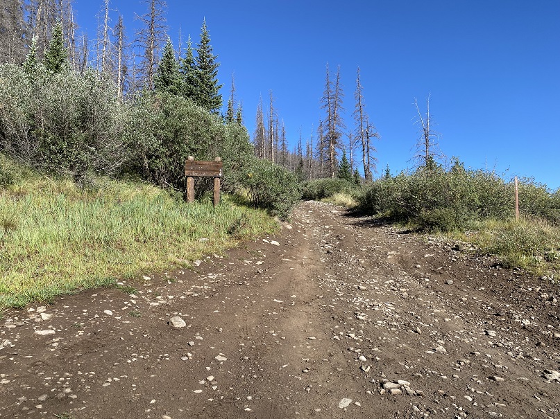
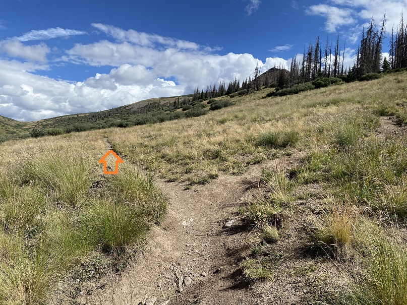
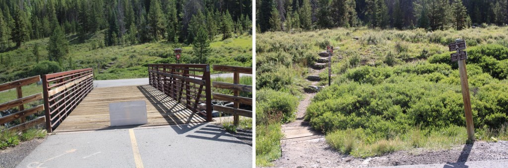
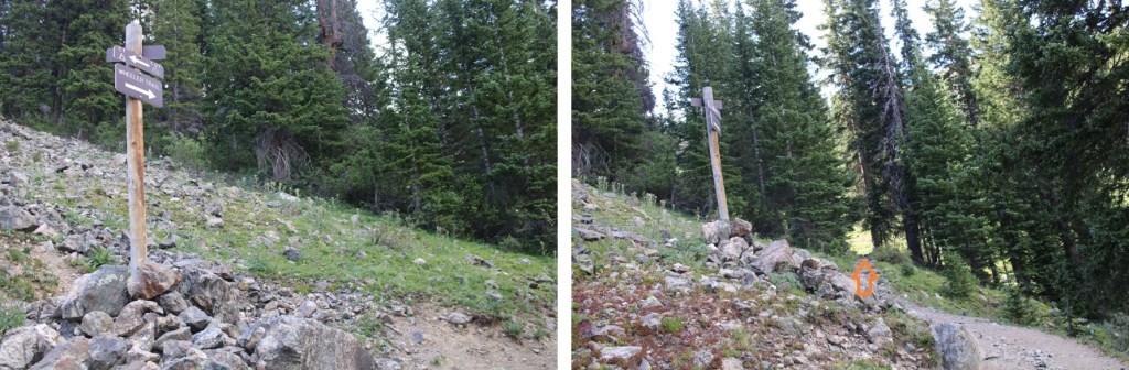
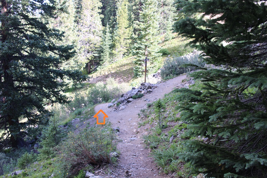
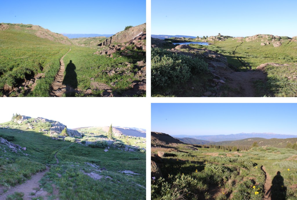
The trailhead is obvious, and starts at the north end of the parking area,  I was on the trail at 5am.

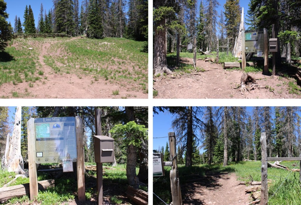
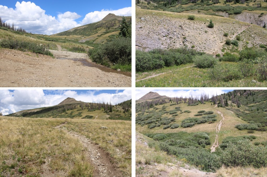
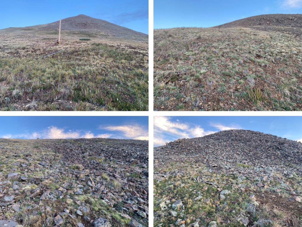
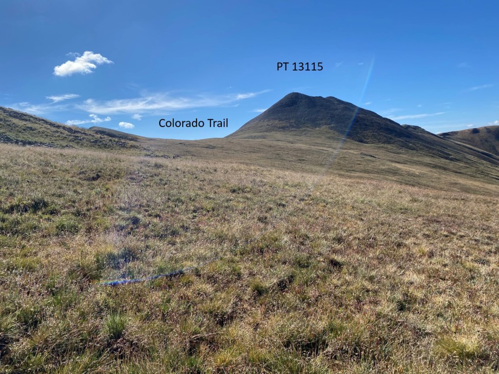
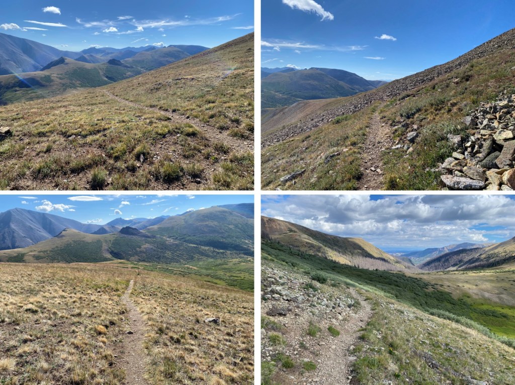
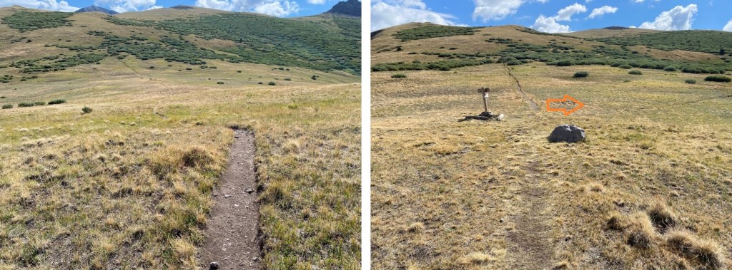
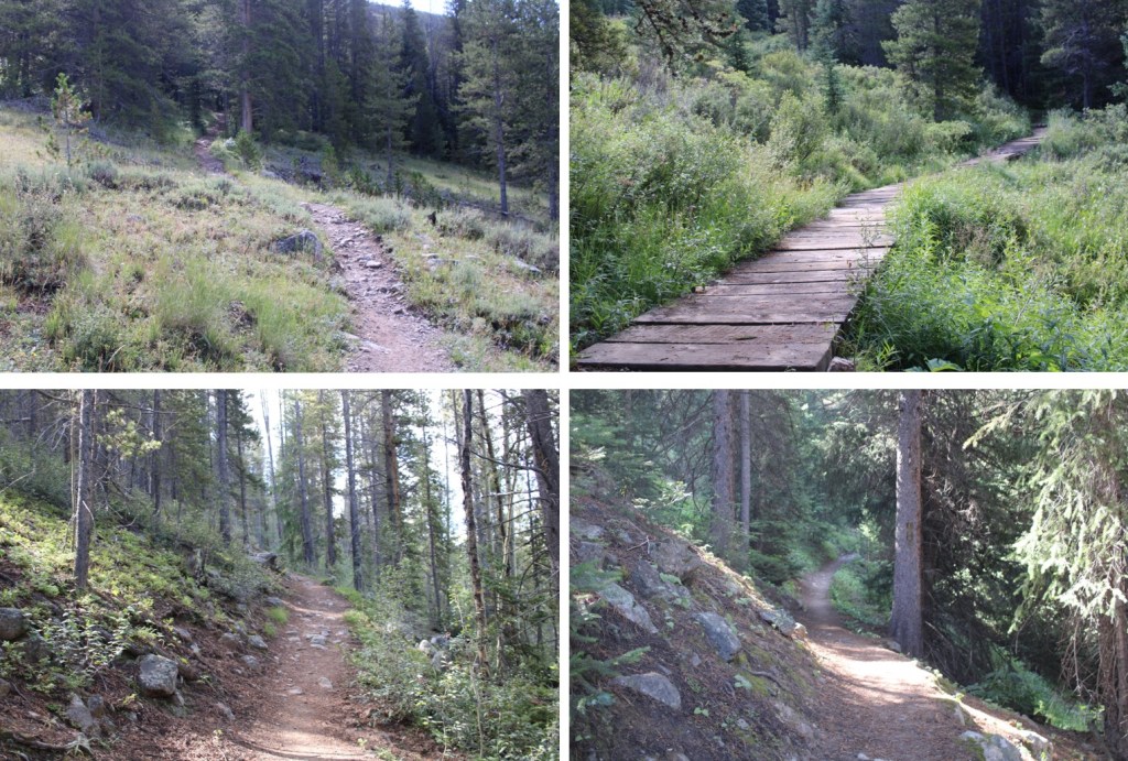
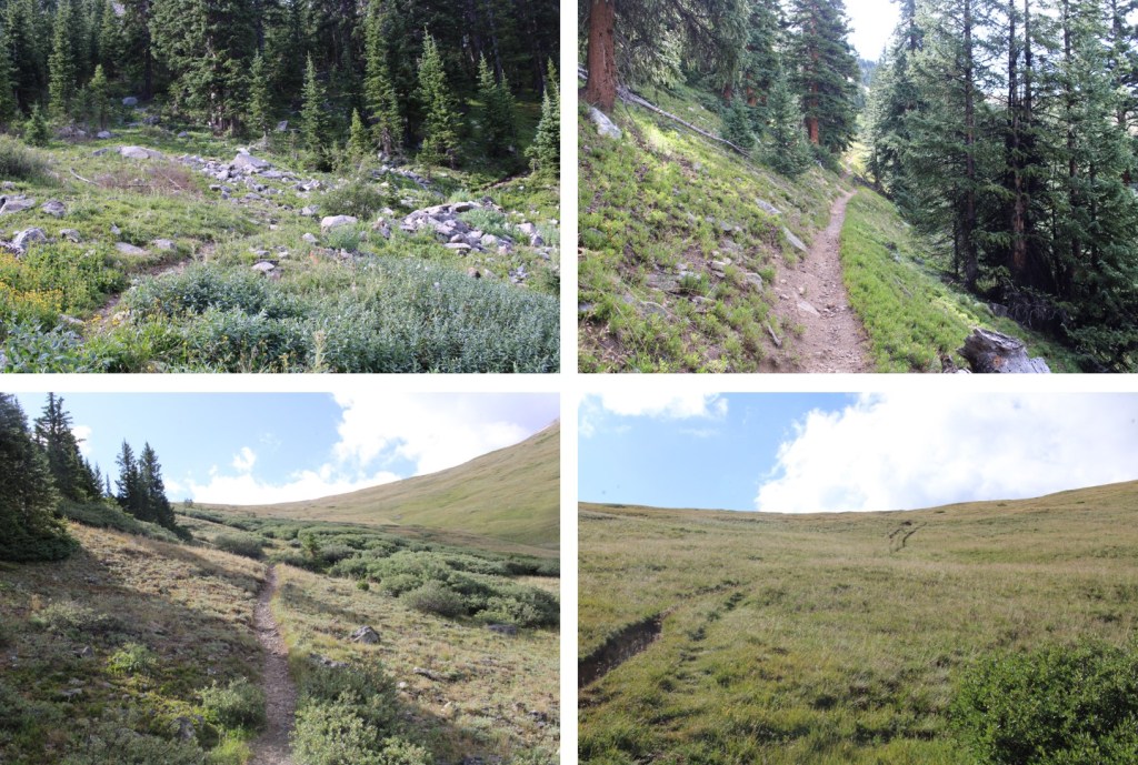
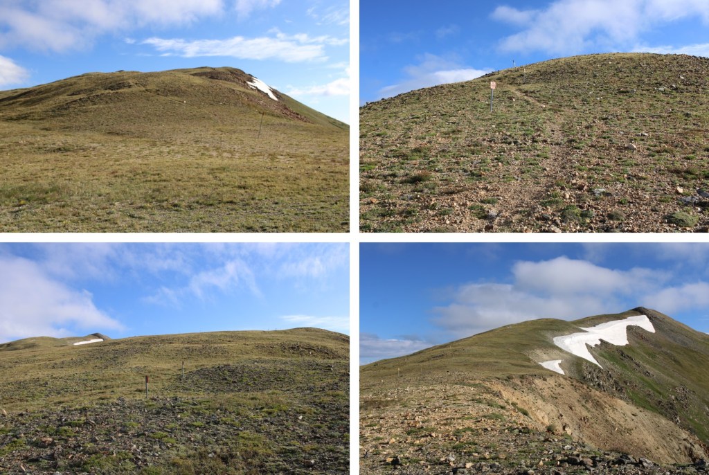
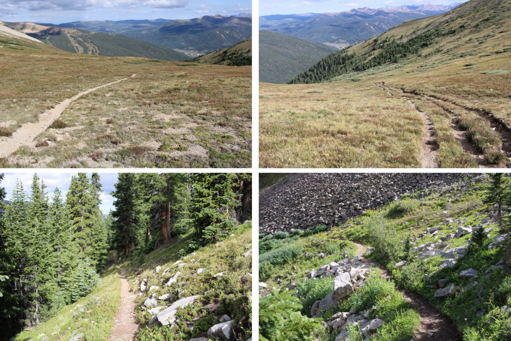
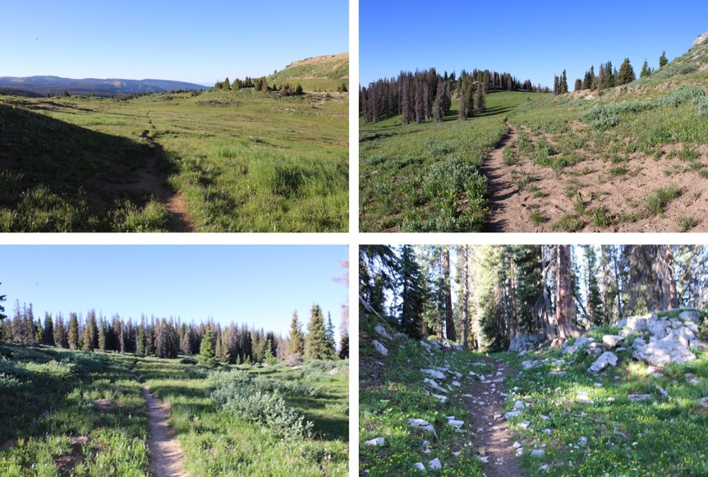
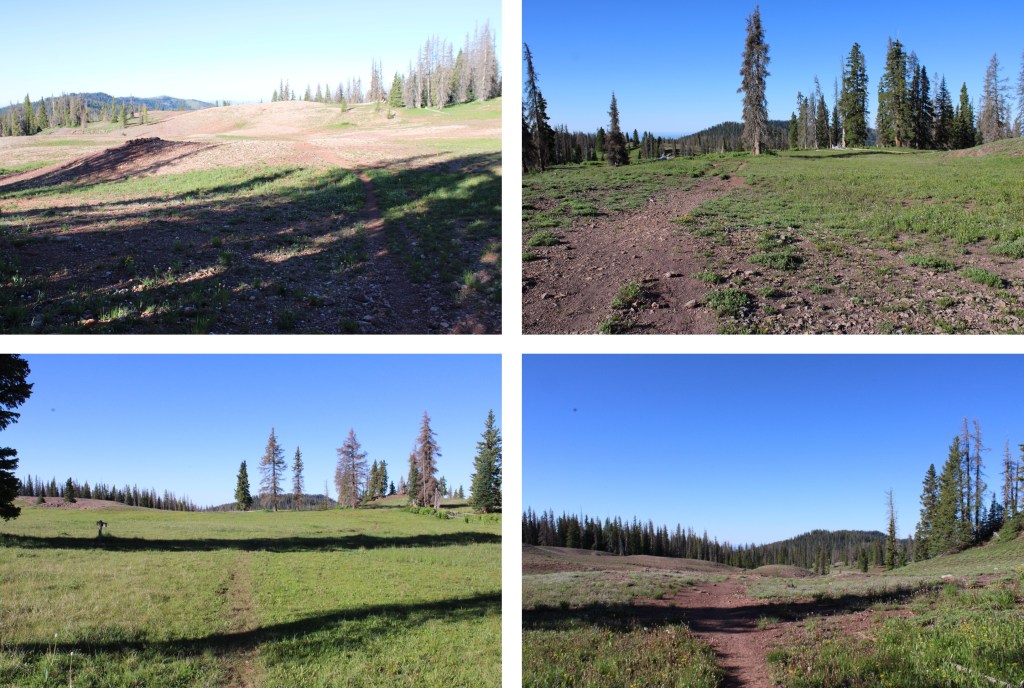
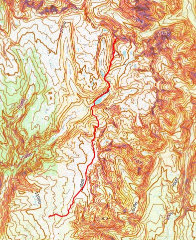
I followed the class 1 Lime Mesa Trail North for 3.4 miles.  After hiking for about half a mile I came to a junction, and went left.

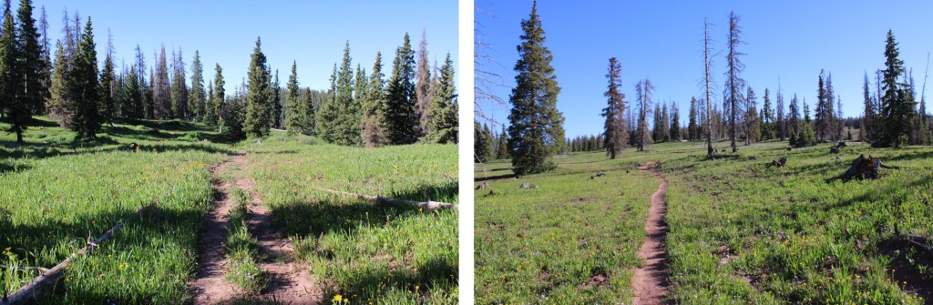
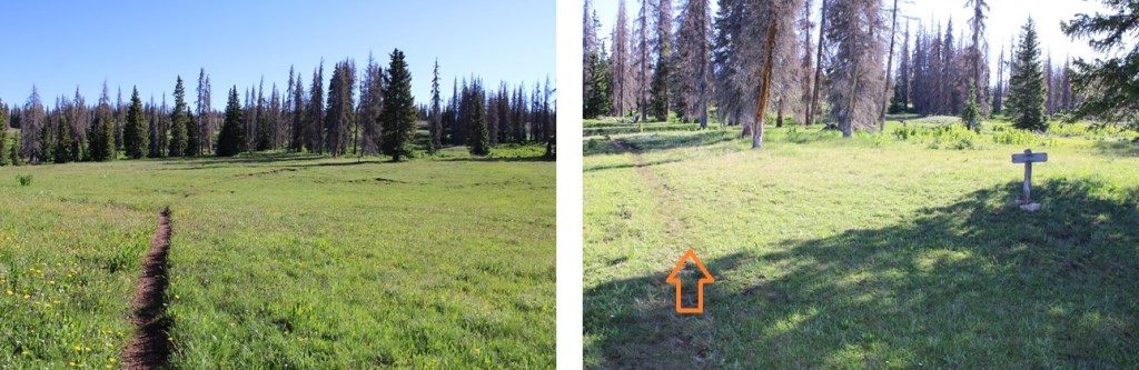
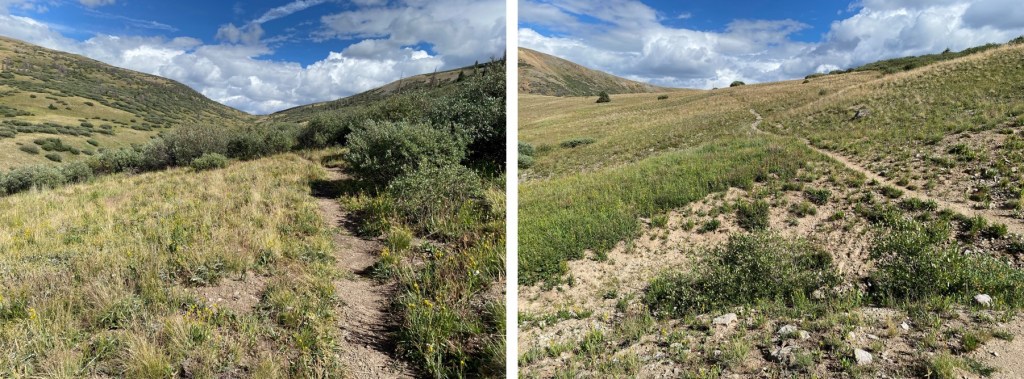
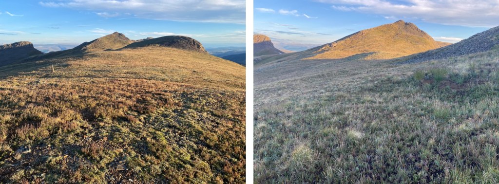
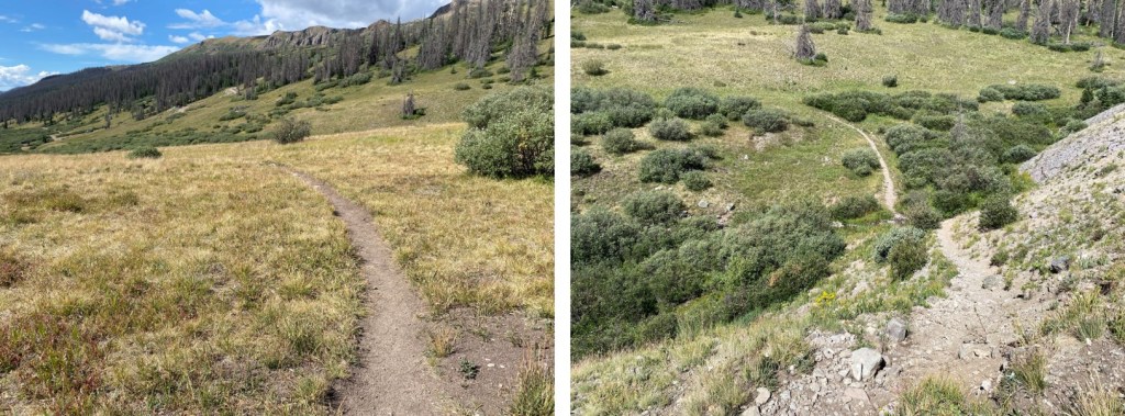
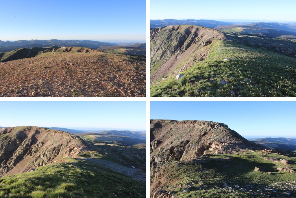
I kept hiking along the class 1 trail as it wound north through Lime Mesa

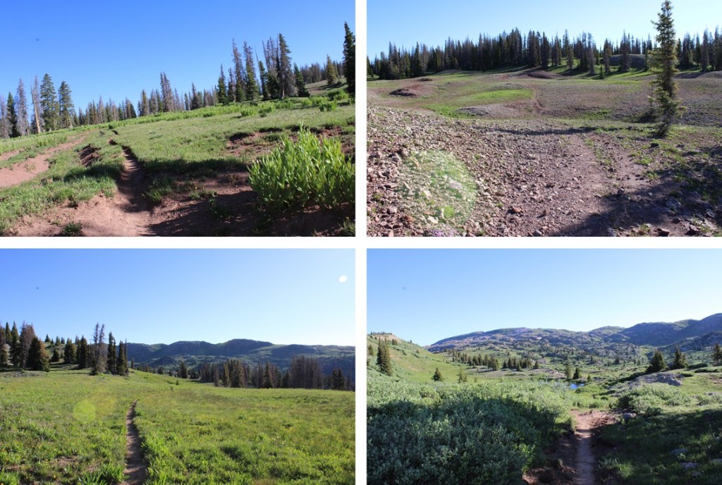
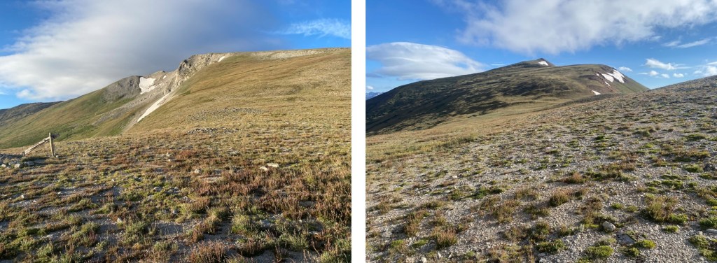
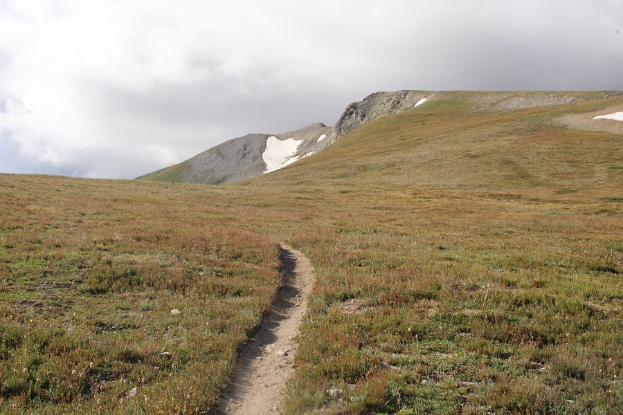
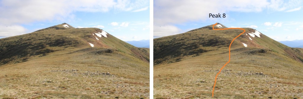
After hiking for a total of 3.4 miles, and at around 12420’ of elevation, I left the trail that had started going east and headed north.

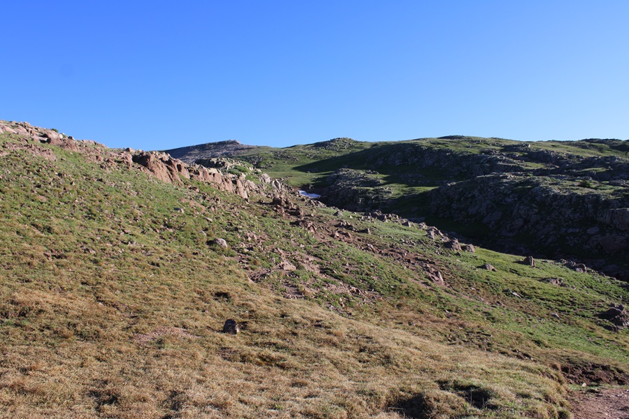
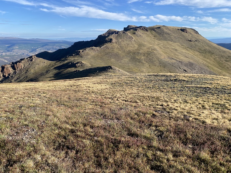
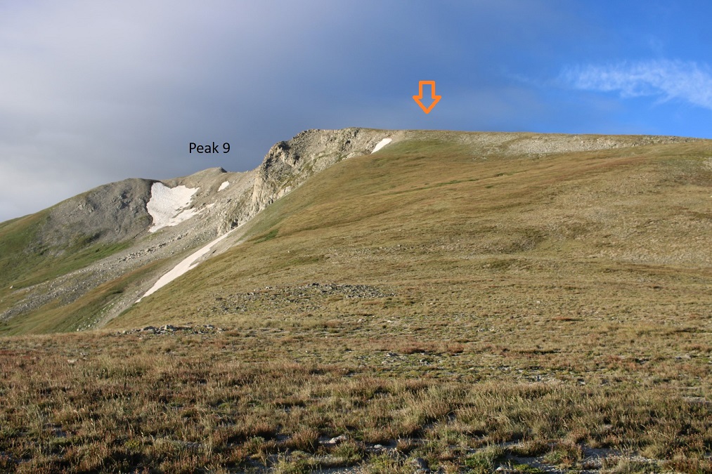
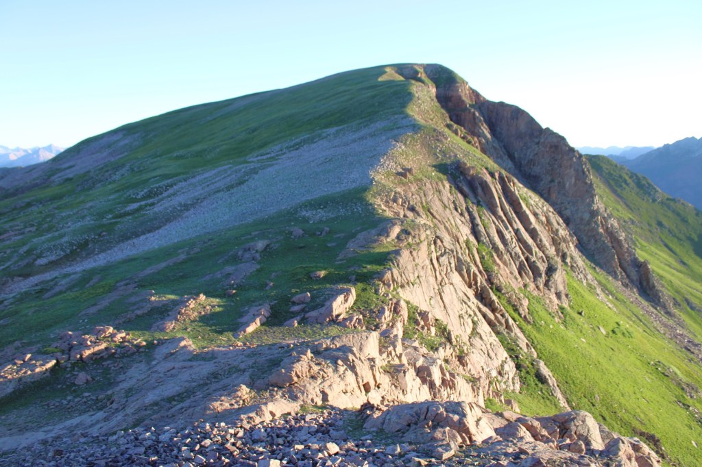
This is where I was headed

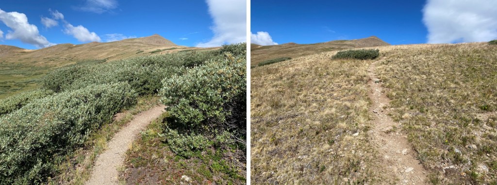
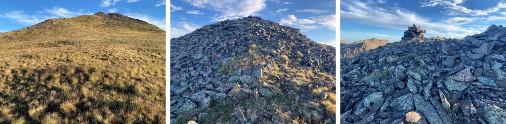
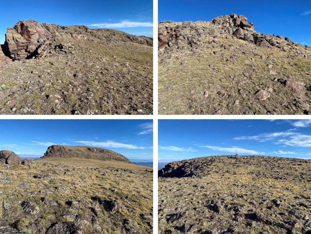
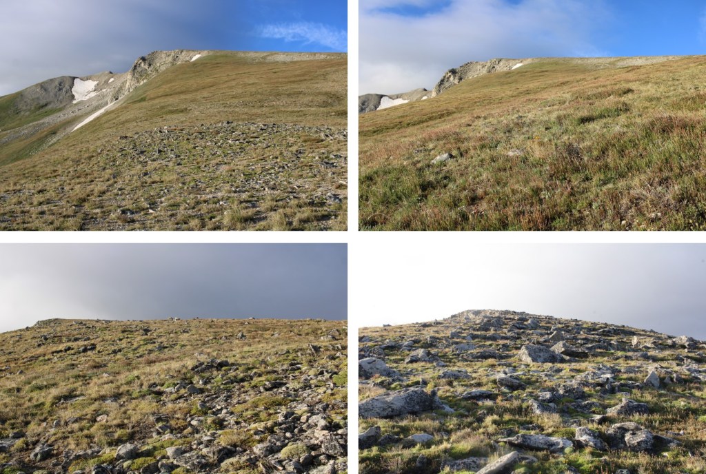
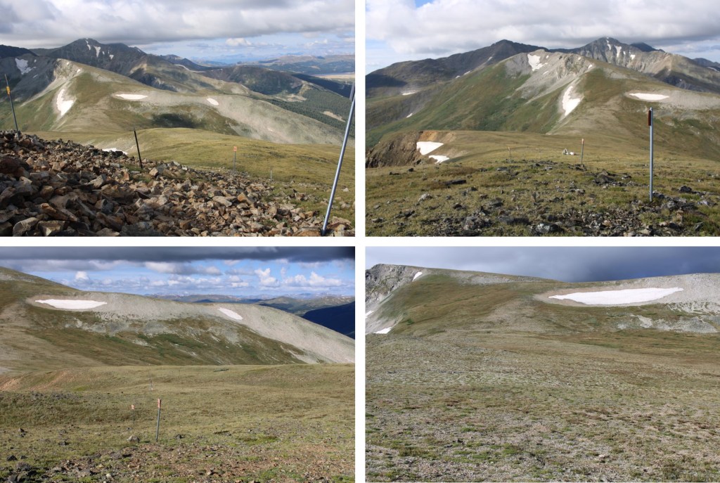
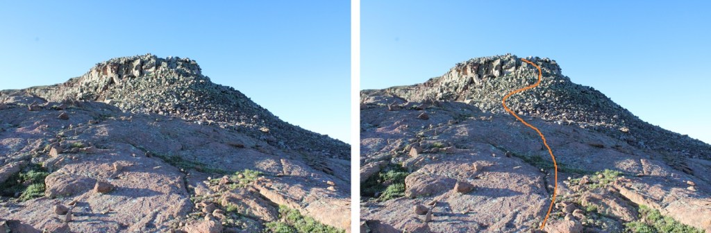
I ascended a gully, then headed towards the ridge.  This was mostly tundra, until the end, when it became rocky.  All class 2.

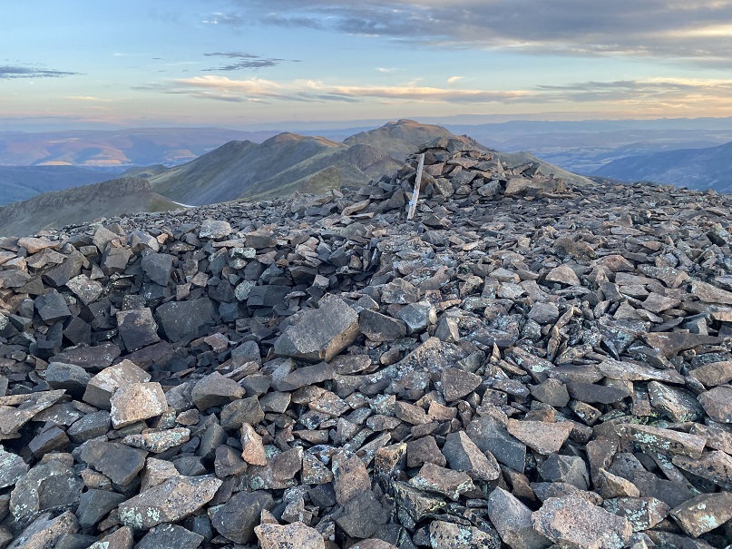
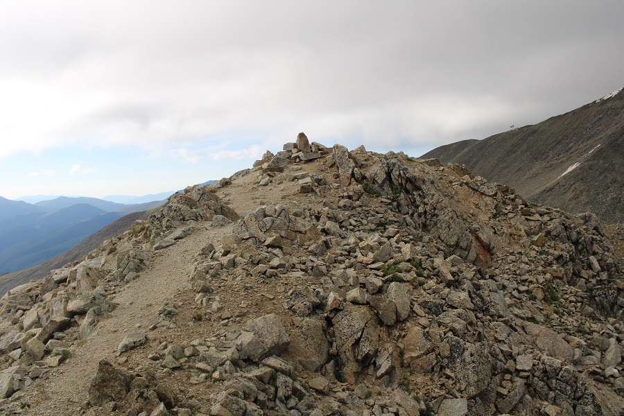
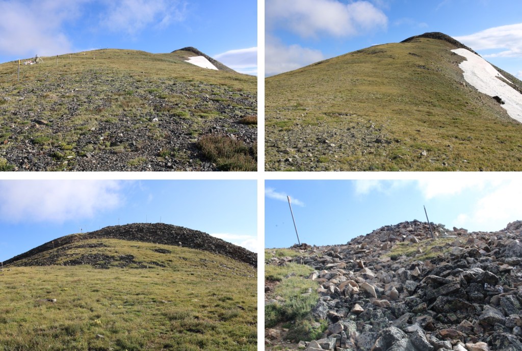
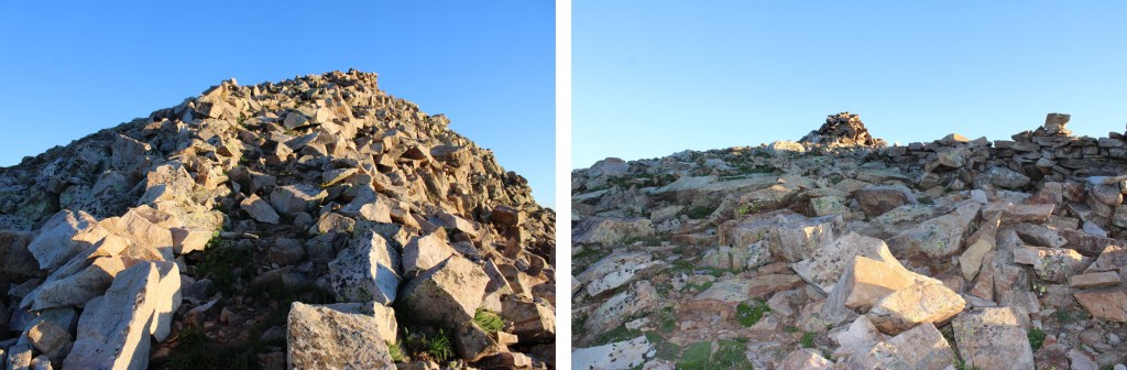
There was a big cairn at the top of the ridge

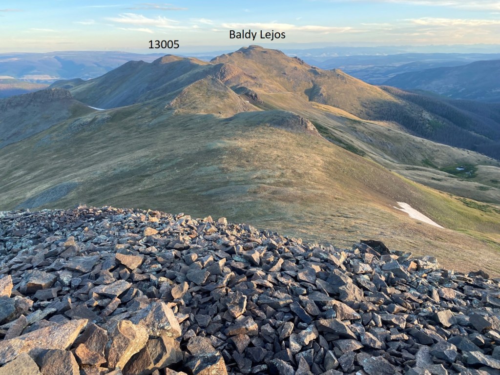
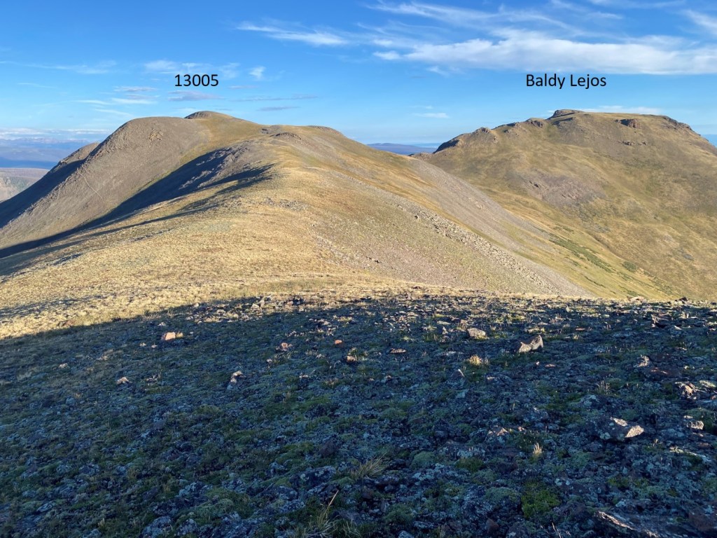
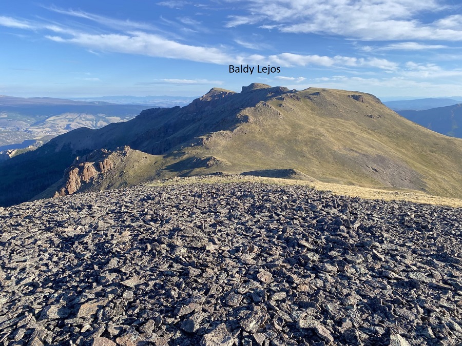
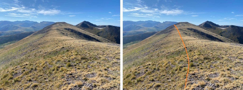
When I got to the top of the ridge, I was at PT 12802.  I could see Overlook Point to the north. 

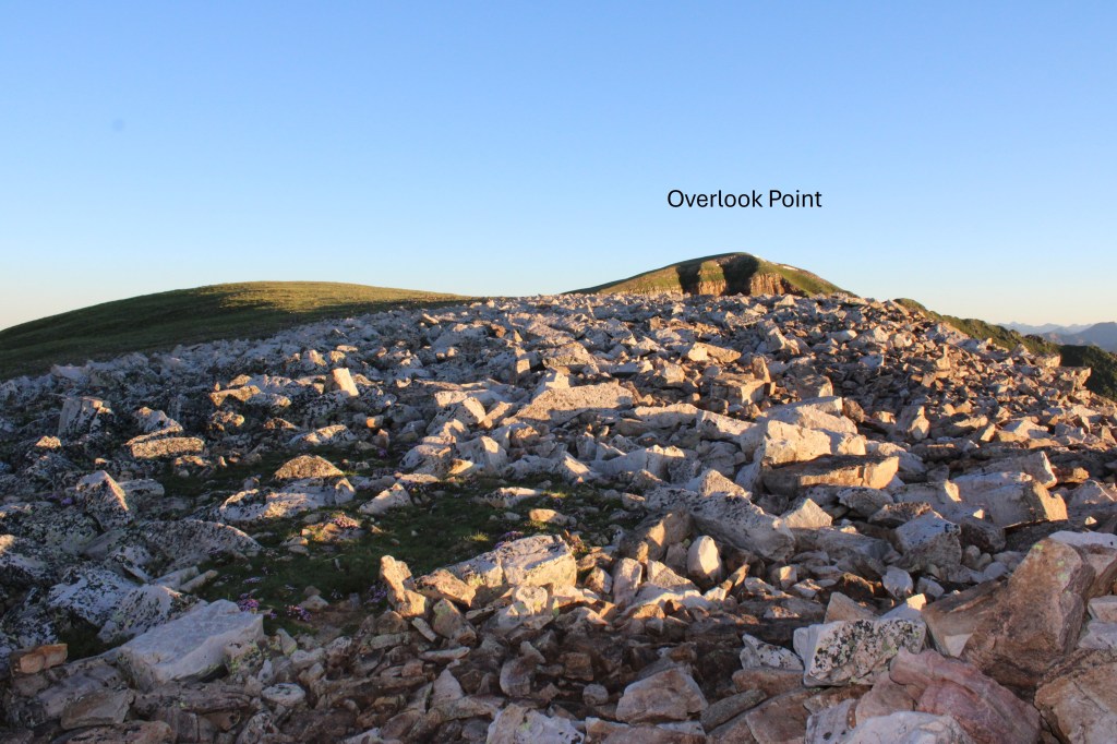
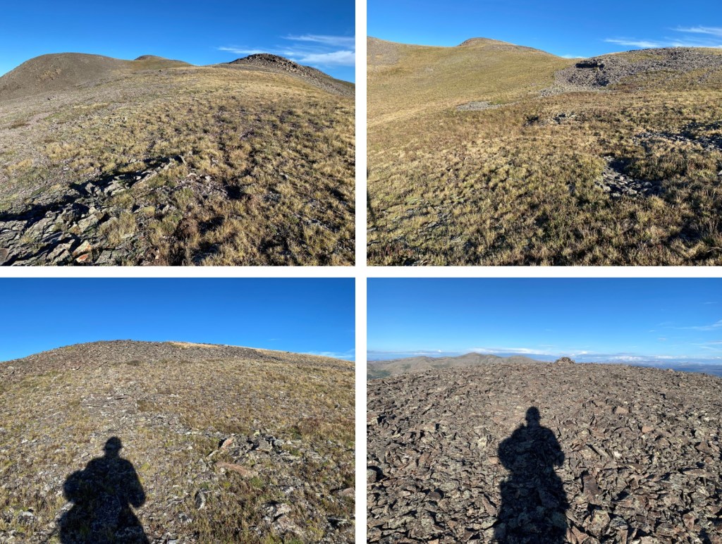
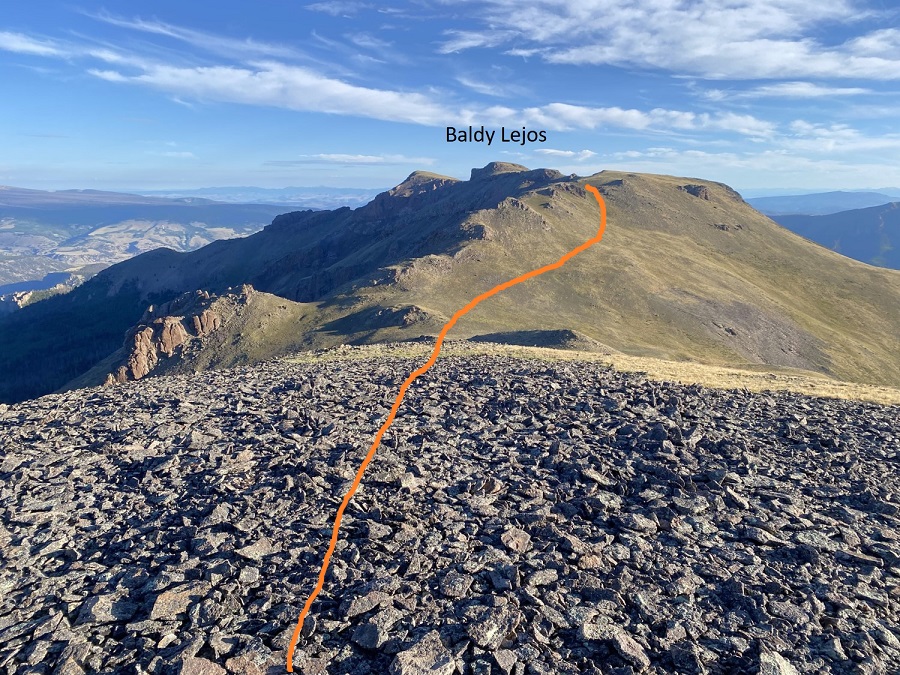
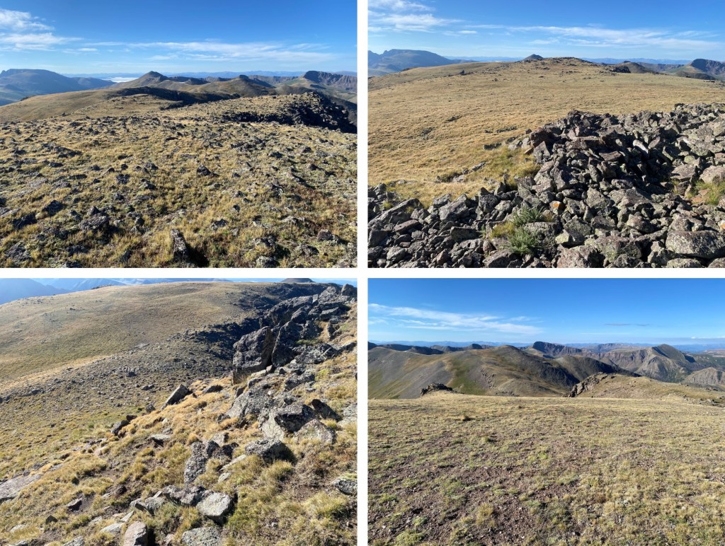
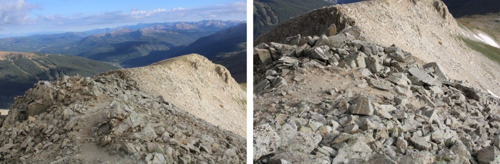
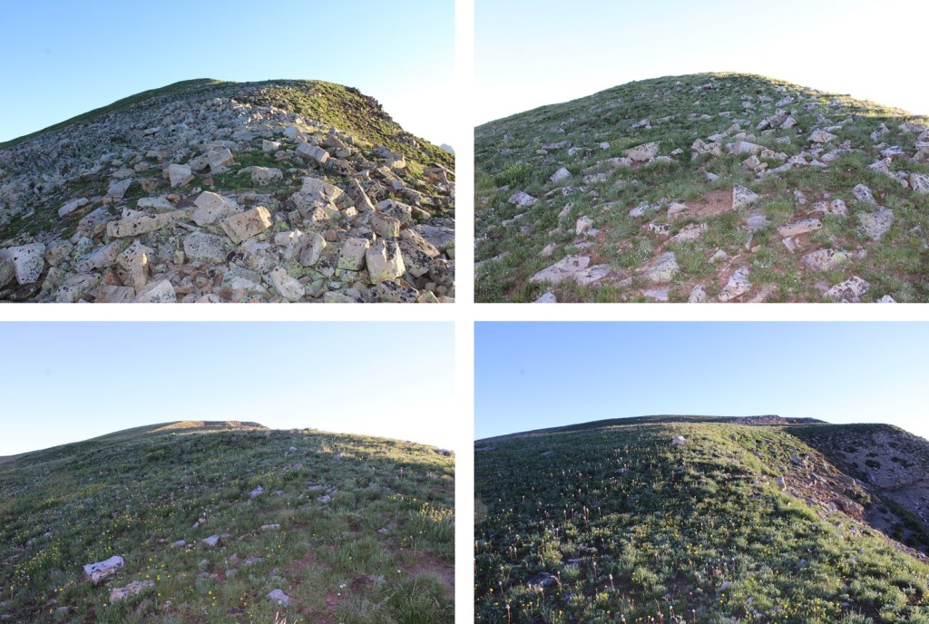
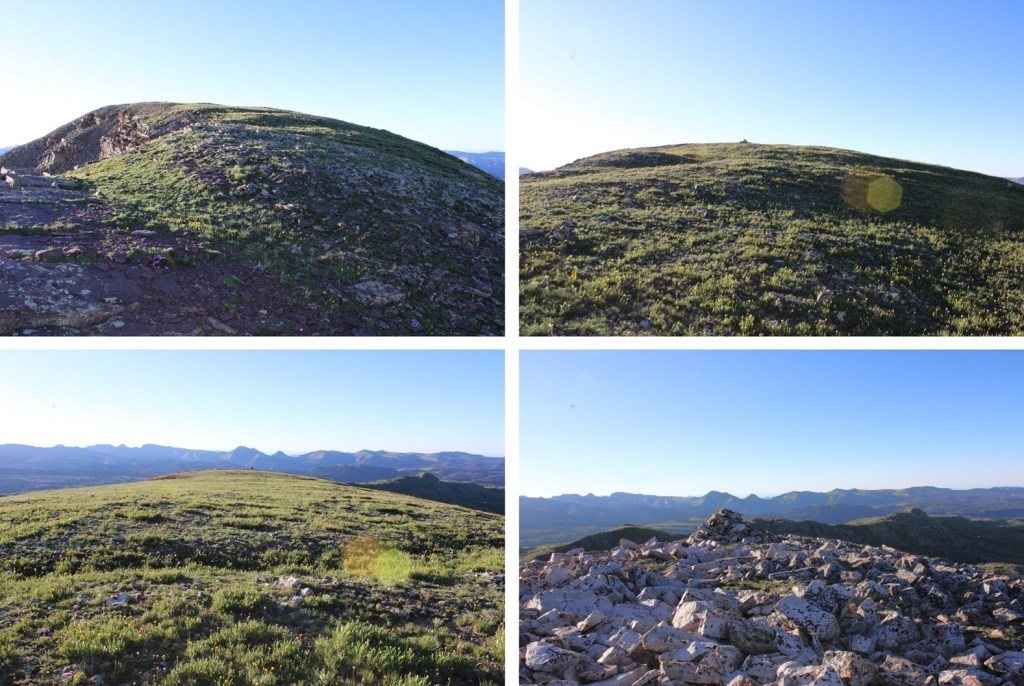
I continued following the ridge towards Overlook Point. Rocks became tundra, and then the tundra became rocky again.

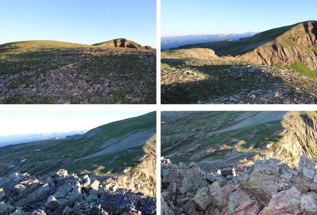
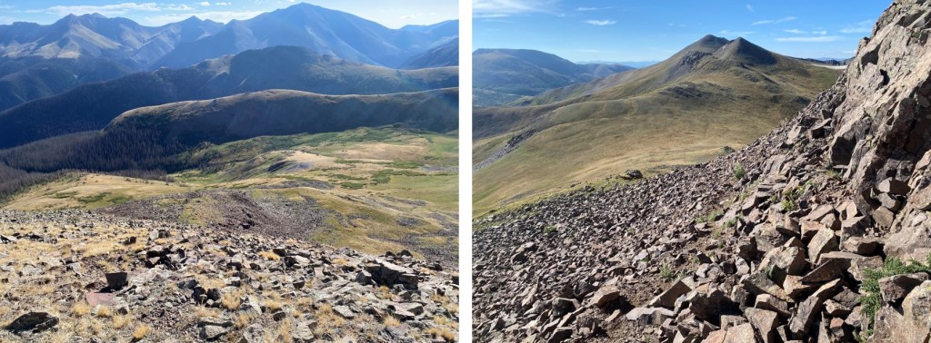
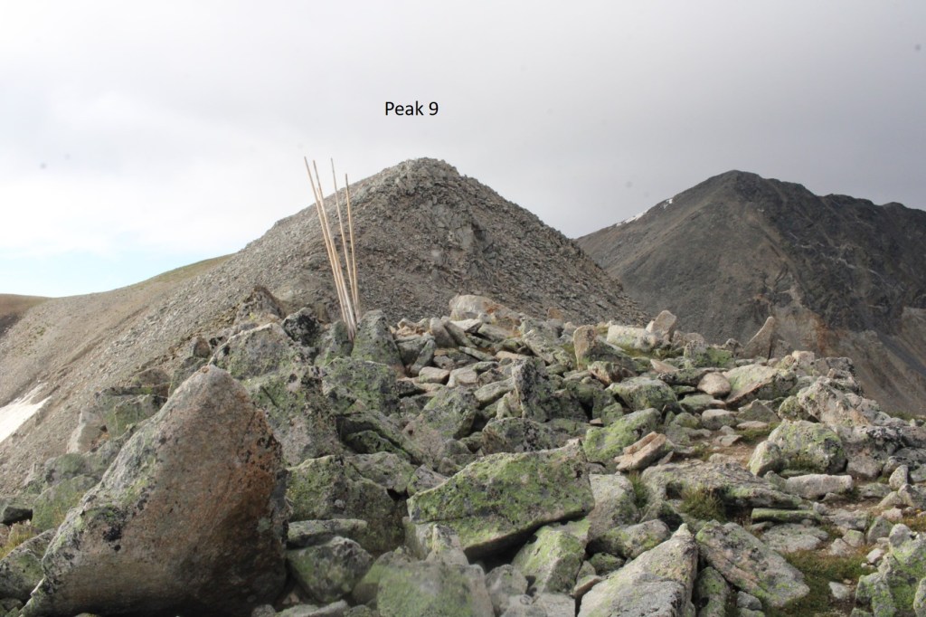
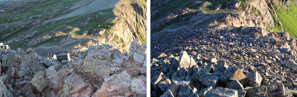
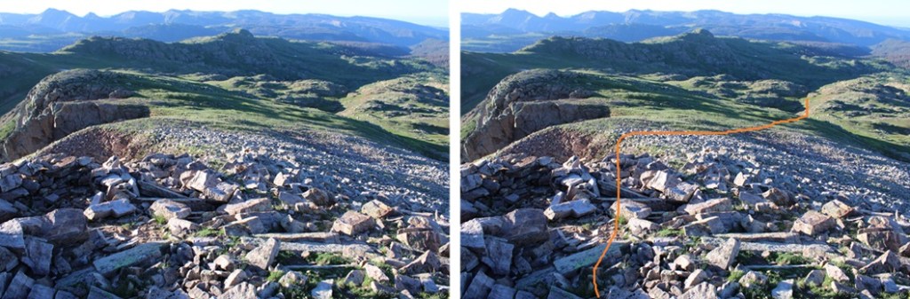
Following the ridge, I eventually came to a rocky area.  This is easier to descend than it looks.  It can be kept class 2 if you just follow the gully down.  Here I lost about 100’ of elevation as I made my way towards the saddle.

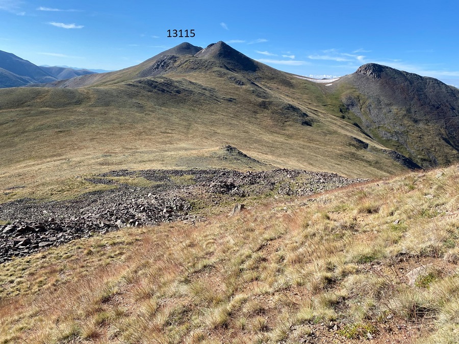
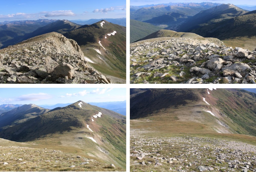
And now to gain the ridge.  This was a fairly easy ridge hike, where I gained about 300’ of elevation to the summit.  I just kept to the ridge. 

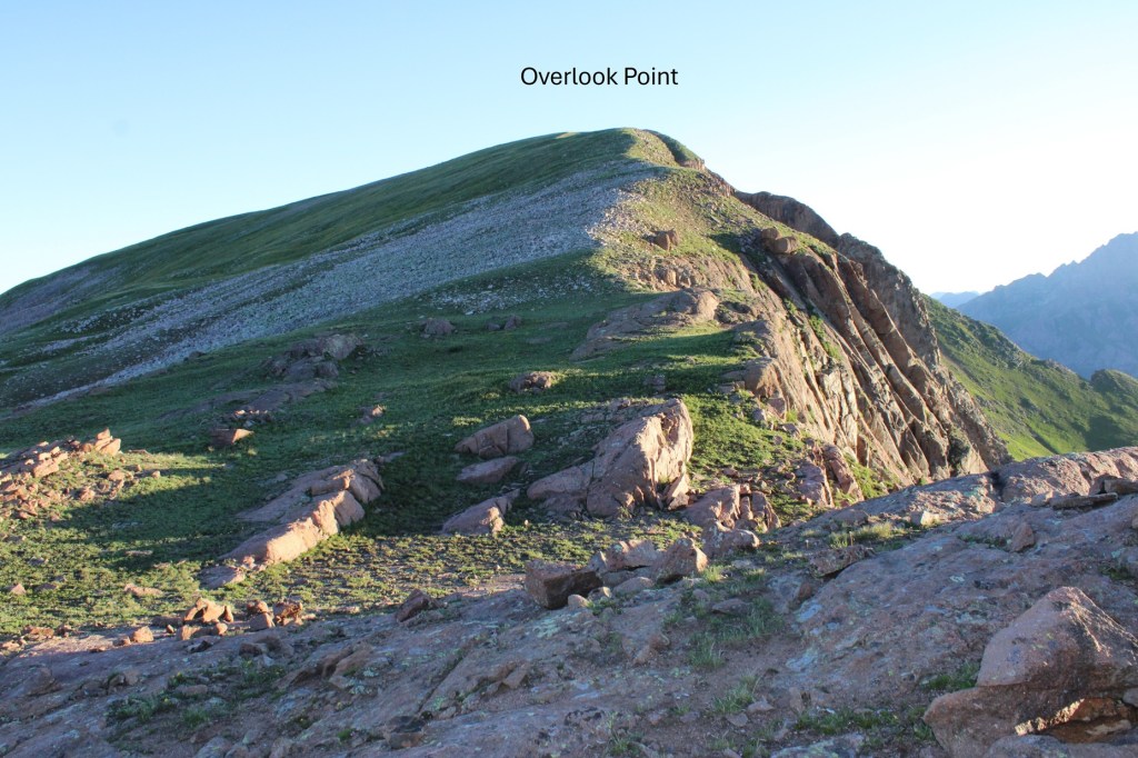
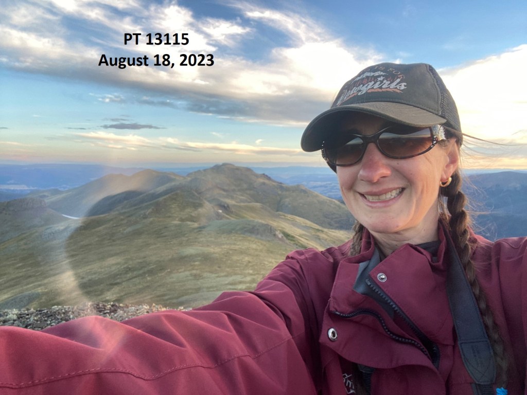
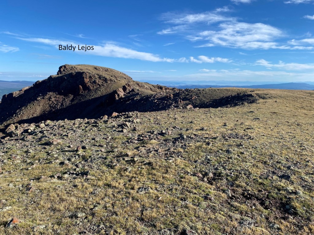
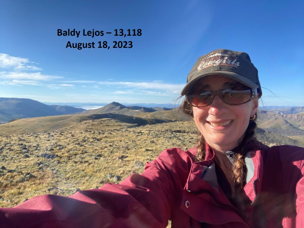
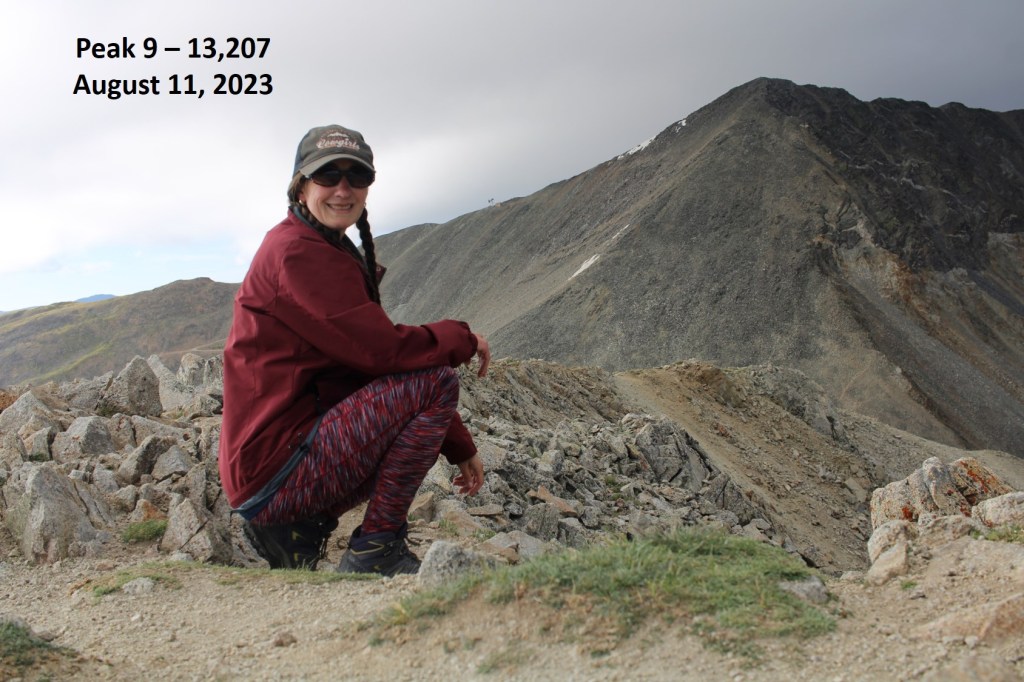
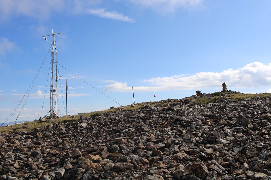
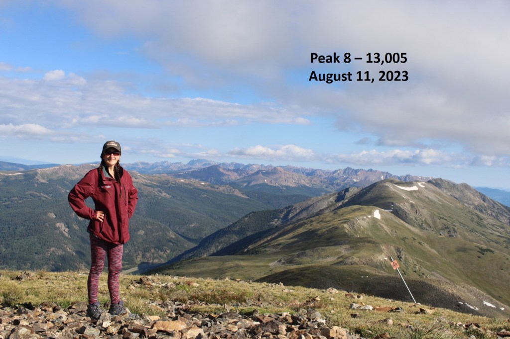
I summited Overlook Point at 6:40am
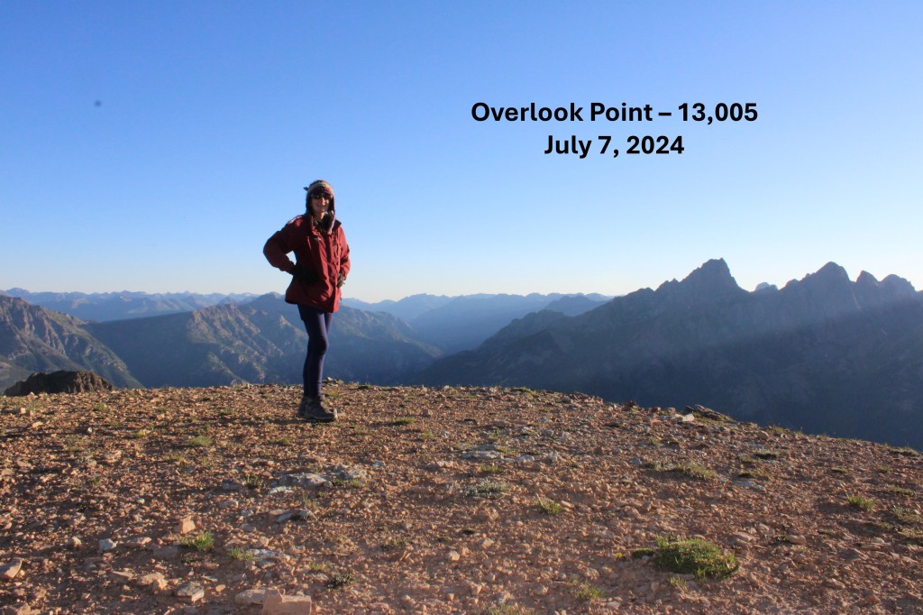
Overlook Point:

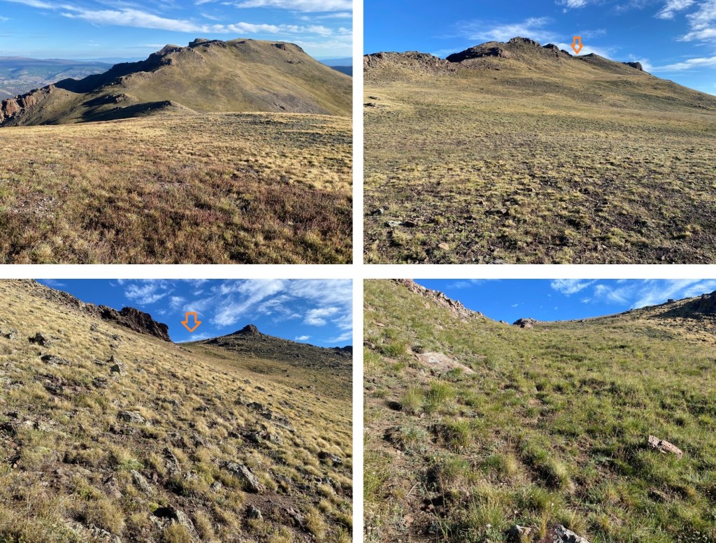
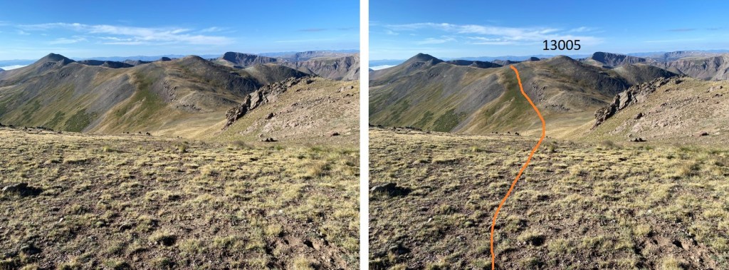
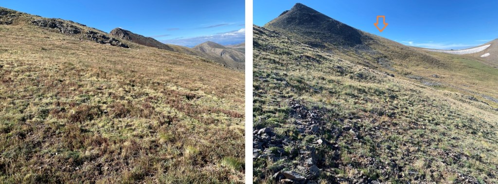
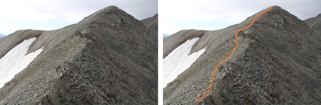
And now to make my way back towards PT 12802. I turned around and descended the ridge to the saddle.

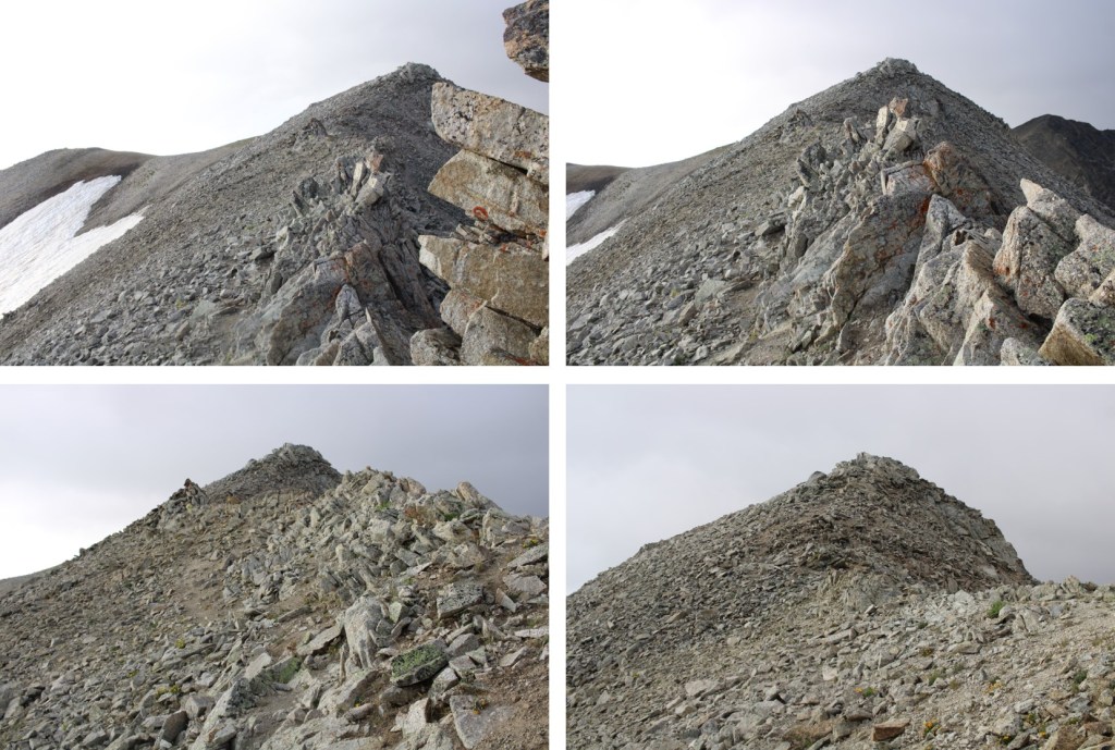
Then it was up the rocky sections.  This is the route I took

Then southeast following the ridge to 12802

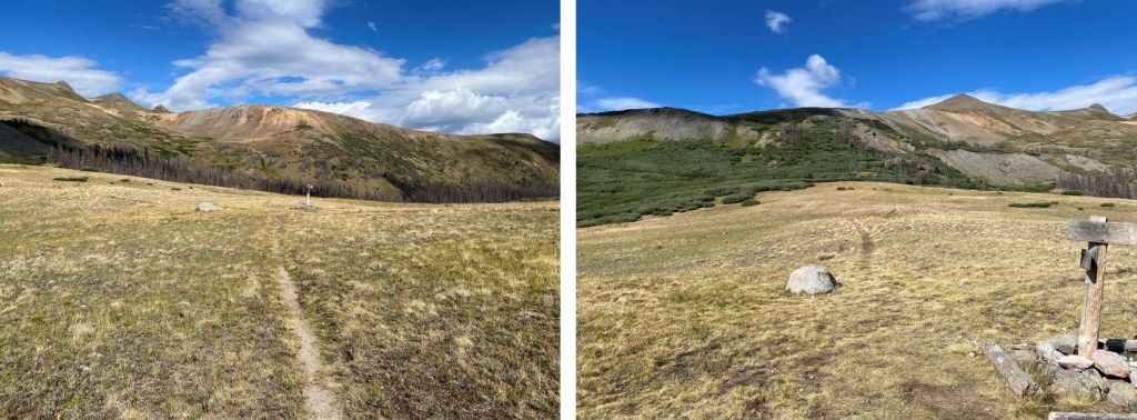
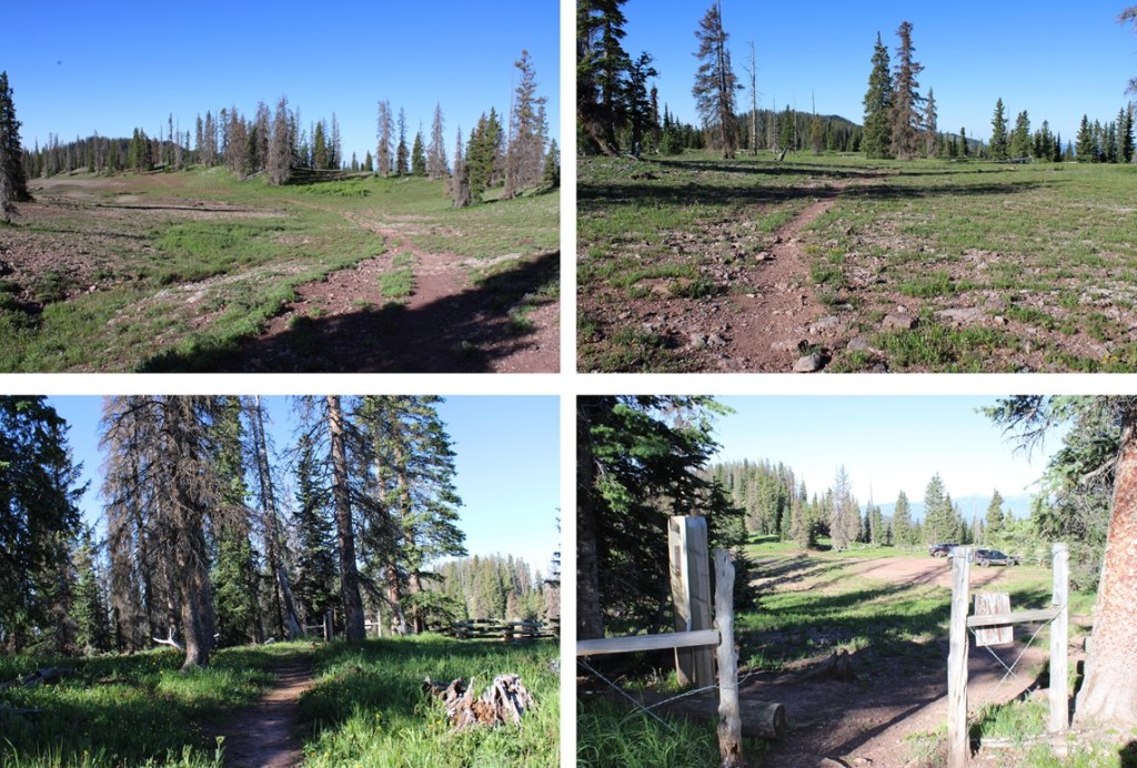
And then back down to the Lime Mesa Trail

I turned right onto the Lime Mesa Trail, and followed it 3.4 miles south back to the trailhead.

I made it back to the trailhead at 8:15am, making this a 8.89X mile hike with 1872’ of elevation gain in 3.5 hours.

On to the next trailhead!

13115, 13005, and Baldy Lejos – 13,118

RT Length:  10.19 miles

Elevation Gain: 2879’

I started from the West Willow Creek 4WD trailhead at 11550’.  If you don’t have 4WD, park below, just before the road turns to 4WD.  This will add 3 miles and 500’ of elevation total to the hike.

Here are some pictures of the 4WD road in

There are a few dispersed campsites here, and a parking area for about 5 vehicles.

I was on the trail at 5am.  The West Willow Creek trail starts at the north end of the parking area, and follows West Willow Creek north on a class 1 trail for 1.4 miles, to Sa Luis Pass and the Colorado Trail.

After hiking for .4 miles, I came to a junction and turned left

Then continued towards San Luis Pass.

At Sal Luis Pass I turned left, and followed the Colorado Trail west.

This was still a clearly defined trail

I could now clearly see PT 13115.  This is the route I took to get there.  I would advise summiting from the southeast, as the north side is very chossy.

I left the Colorado Trail, and hiked on class 2 tundra and rocks to the summit

I summited PT 13115 at 6:30am.  Also, this is where my camera officially died, so it’s selfies at summits until I get a new one.

PT 13115:

To the northwest I could see my other two summits for the day, PT 13005 and Baldy Lejos

I descended the north side of PT 13115 on some loose rocks, and headed over to the point ahead of me.  Note:  this isn’t ranked, but it does have a summit cairn.  It was a class 2 hike to get to the top, but there’s a game trail to the left that will take you around this point.

I crossed the Colorado Trail and headed on over

To my left I could see a game trail below that would get me to my next objective, so I descended this point to the west and picked up the game trail

Following the ridge northwest, following a faint game trail, this is the route I took to the next point on the ridge

I ascended a small gully, then ascended the ridge

It was an easy tundra walk to the summit of 13005

I summited unranked PT 13005 at 7:45am

PT 13005:

To the north was Baldy Lejos. 

This is the class 2 route I used to avoid the ridge

Most of this was on easy tundra

From the top of the small, grassy gully, I could see Baldy Lejos

I followed the ridge to get there

I summited Baldy Lejos at 8:15am

Baldy Lejos:

Now to head back to the trailhead.  I took a slightly different route on my way back, to avoid the extra elevation gain.  I headed back down the ridge to the grassy gully

Instead of re-ascending PT 13005, I stayed on the grassy slope to the left to gain the ridge.  There are some game trails here.

Back on the ridge, I followed it south and then dropped down to the left to descend

I could now see PT 13115, but did not want to re-ascend the unnecessary point, so I skirted it to the right on a game trail

I could now see PT 13115 and the Colorado Trail.  I headed back to the Colorado Trail

I followed the Colorado Trail back to San Luis Pass

And at San Luis Pass turned right onto the West Willow Creek Trail

And followed West Willow Creek trail back to the trailhead.

I made it back to the trailhead at 10am, making this a 10.19 mile hike with 2879’ of elevation gain in 5 hours.

On to the next trailhead!

Peak 9 – 13,207 and Peak 8 – 13,005

RT Length:  10.7 miles

Elevation Gain:  4038’

After quite a long wait at the Eisenhower Tunnel I made it to the Far East Lot at Copper Mountain and was on the trail at 5am.  The lot has enough room for hundreds of vehicles, if not more.  The trail starts near the construction area, at the south end of the lot

I crossed a bridge over Tenmile Creek, and the trailhead was directly on the other side

I was following the Colorado Trail.  This was a class 1, easy to follow trail all the way up to the Peak 9/Peak 8 saddle. 

After hiking for 2.3 miles, I came to the Colorado Trail/Wheeler Trail junction.  At this point I continued straight, on the Wheeler Trail

This trail took me above treeline, to the Peak 9/Peak 8 saddle.

From the parking area, it was 3.7 miles to the saddle.  From the saddle the hike became class 2, and I gained around 800 feet to the summit, but it was an easy 800 feet.   I turned right, and headed south up to the ridge on tundra

Once on the ridge I turned left, and followed a slight game trail southeast

The last bit of the hike to the summit can look overwhelming at first, but it can be kept at class 2.  I thought of it as similar terrain to the “16 Golden Stairs” on Pikes Peak Barr Trail, but much shorter (maybe 30 feet or so to deal with).

I dropped down to the left of the ridge, and took a game trail to the summit.

I summited Peak 9 at 7:30am

Peak 9:

It was starting to snow lightly, I’d forgotten my gloves, and I could see sunshine on Peak 8 so I turned around and headed back to the Peak 9/Peak 8 saddle. 

Here’s a look at that rocky section on the way back

Back at the saddle, I headed north, and gained about 600’ to the top of Peak 8.  This was a simple trek to the summit, as I just followed the “Ski Area Boundary” signs.  At times, there was a game trail to follow. 

There was a lot of junk left on this ridge.  It looks like when they put in the posts for the ski area boundary signs, they left their tools behind.  There was also an emergency station, with litters and first aid supplies for injured skiers.

The route to the summit was obvious

I summited peak 8 at 8:30am

Peak 8:

This peak gets a lot of traffic.  There was a wind break with a summit register box filled with old school IDs and medical cards.  Someone had even left a small tube of sunscreen inside.

After leaving a card of my own, I headed south back to the saddle

At the saddle I turned right, and followed Wheeler Trail back to the Colorado Trail

Then I followed the Colorado Trail back to the trailhead

I made it back to the trailhead at 10am, making this a 10.7 mile hike with 4038’ of elevation gain in 5 hours.

On to the next trailhead!