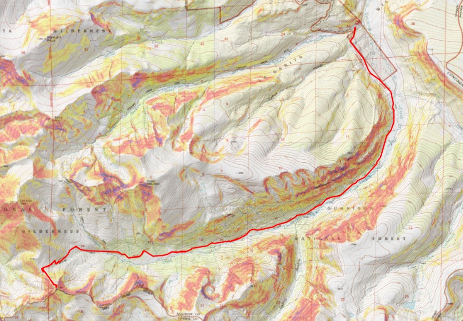
RT Length: 17.29 miles
Elevation Gain: 3120’
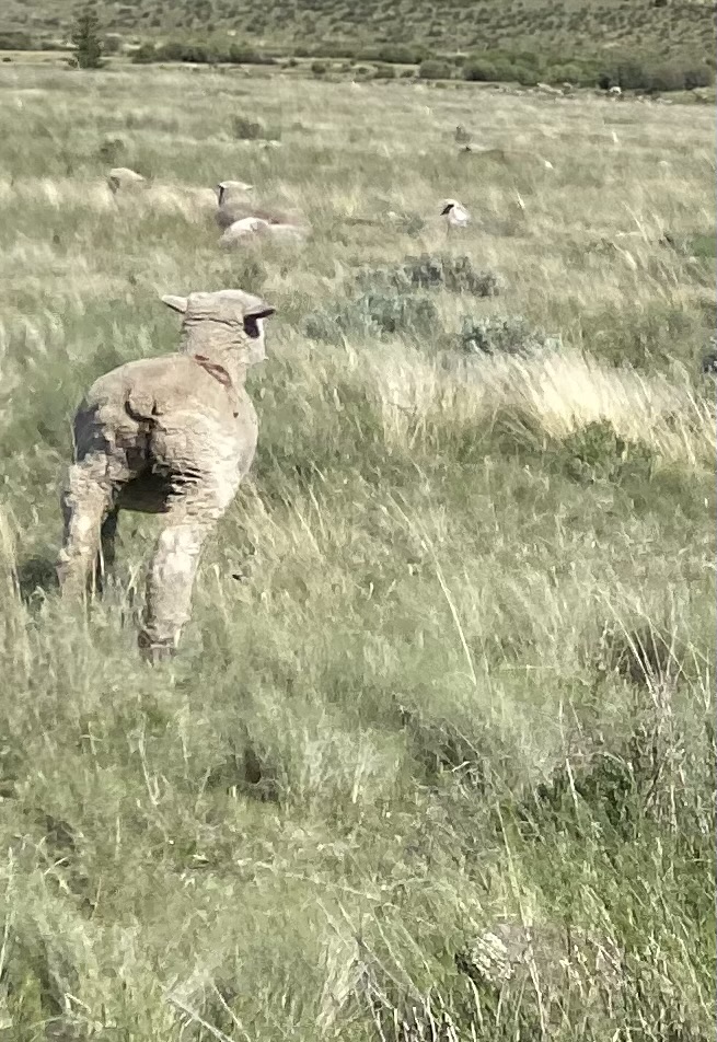
I drove to the Eddiesville trailhead the night before, hoping to get a good look at current conditions in the mountains. On the way in I saw an old, 1980s brown Tacoma parked on the side of the road, and a man sitting on a rock, watching a herd of sheep. All the sheep were facing the opposite way (I’ve become a pro at animal butt shots at this point).
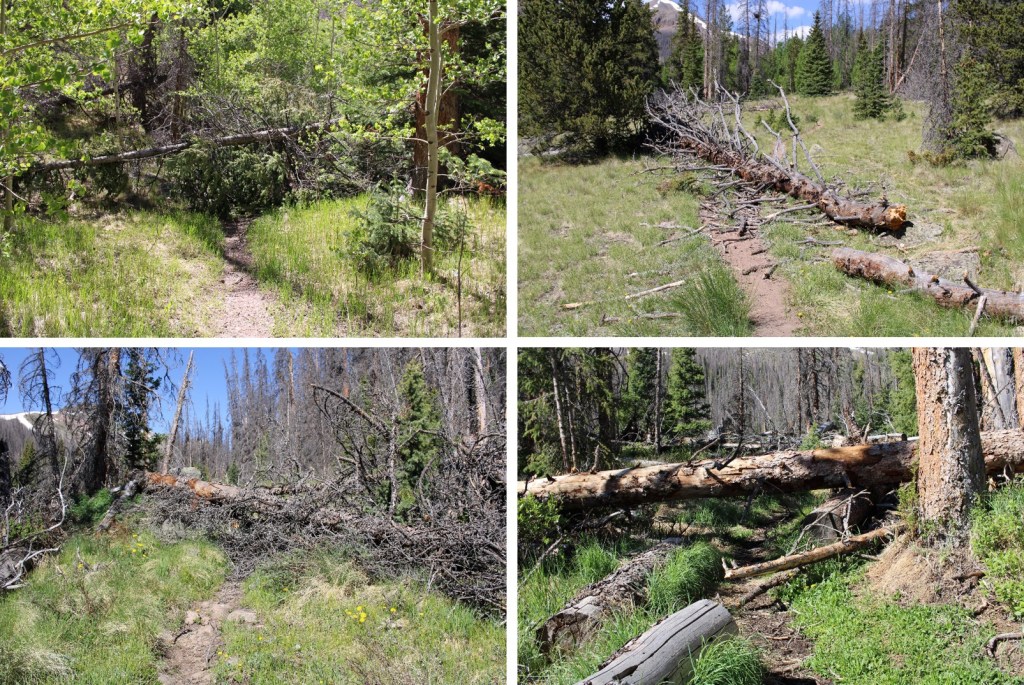
Both creek crossings were manageable, and all the downed trees had been cleared off the dirt road.
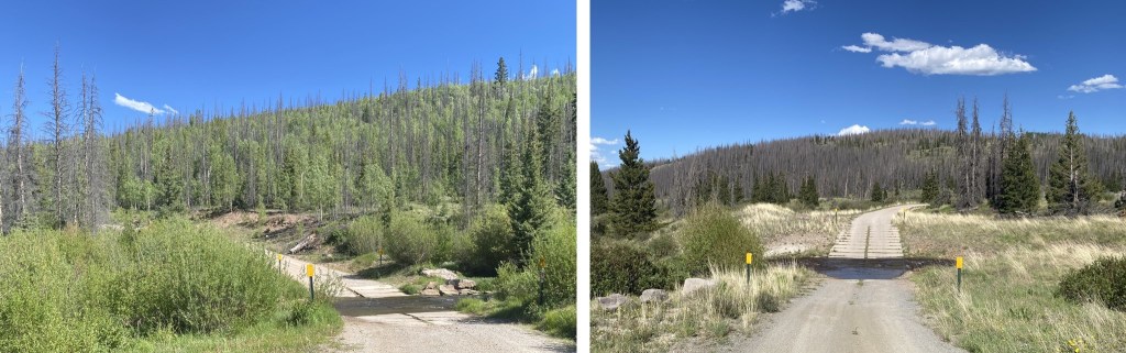
There was only one other vehicle in the parking area, which fits about 10 vehicles if everyone parks nicely. No mosquitoes, but tons of flies (they didn’t bite, they were just annoying).
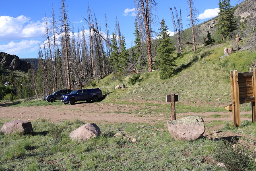
I threw 3 socks full of moth balls under my truck, wondering where the 4th one went (maybe a marmot absconded with it?) and went to bed. I was on the trail at 4am. The trail starts at the south end of the parking area, and follows the Colorado Trail.
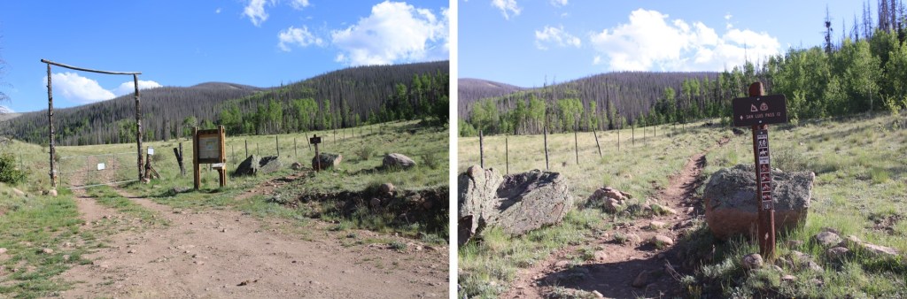
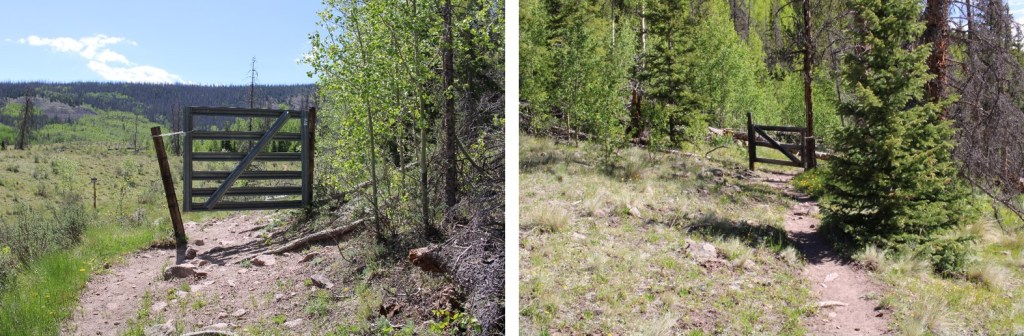
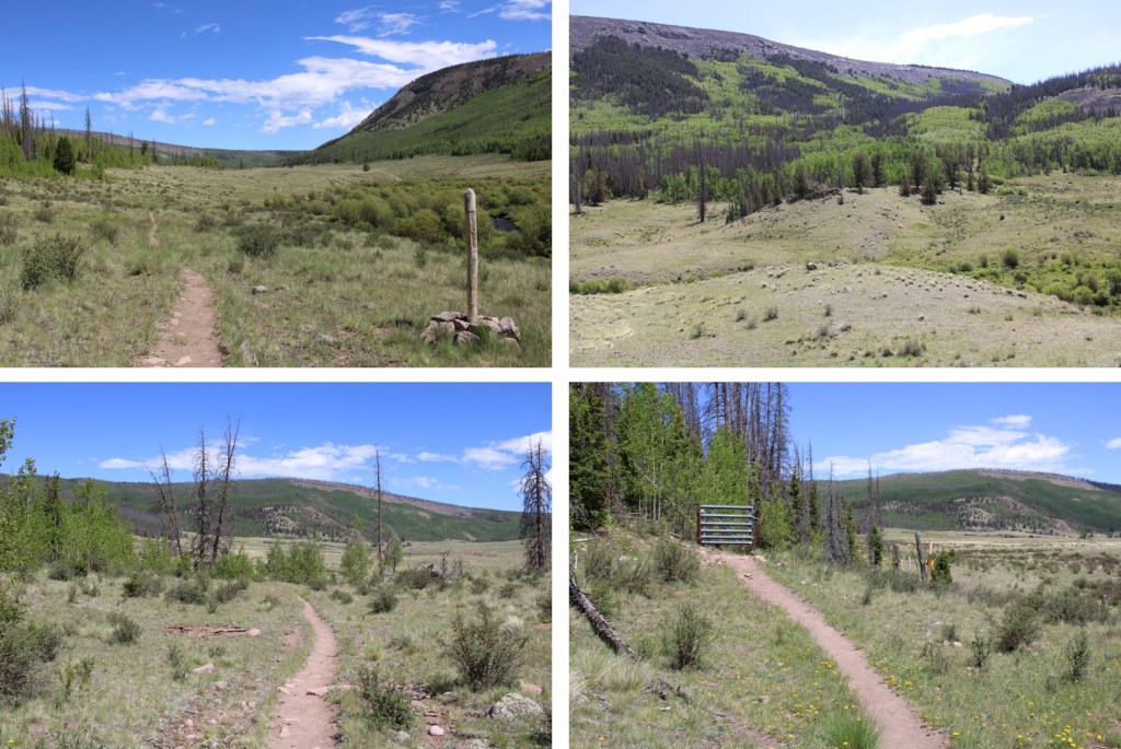
I followed the Colorado Trail for 8.25 miles, all the way to the San Luis Peak/13166 saddle. This was a very well-marked trail, which made it difficult to get lost. Also, there weren’t many trail intersections, also making it easy not to get lost. I crossed several small creeks and downed trees on my way, and passed through two gates (latched, not locked).
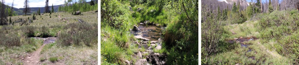
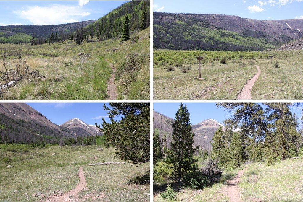
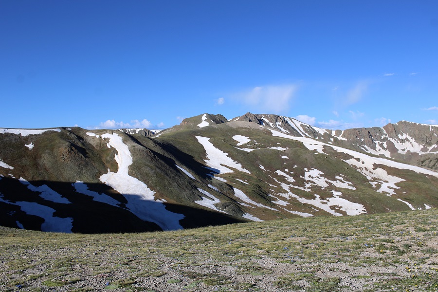
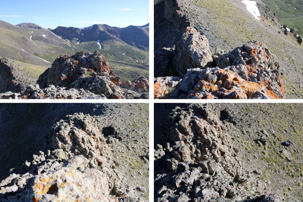
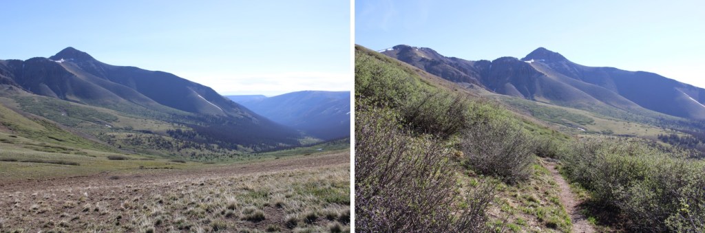
Here are some pictures of the terrain, which followed Cochetopa creek up the basin.

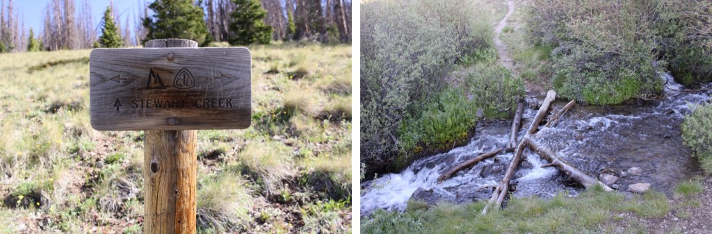
After hiking for 7 miles, I crossed Stewart Creek
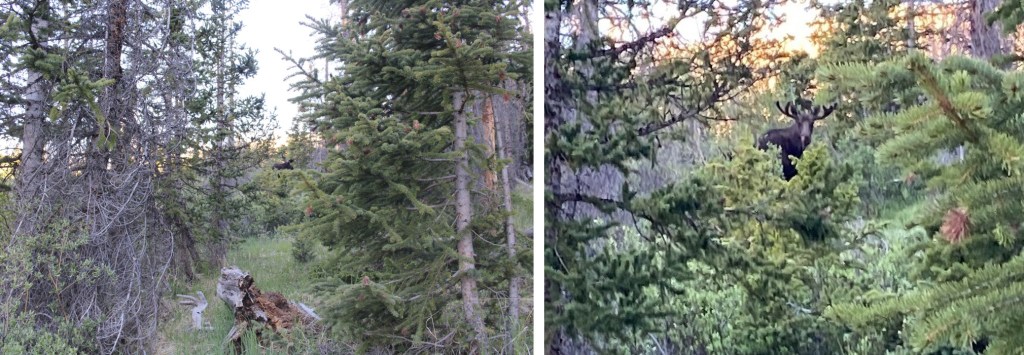
and saw a moose. I have him his space, even though he was directly on the trail.
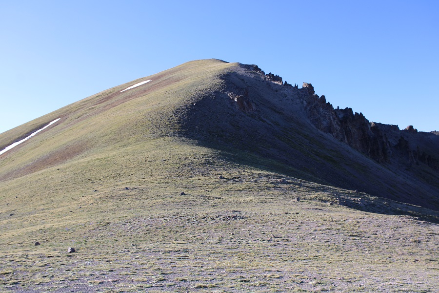
I was now above treeline, and could see the 13166/San Luis Peak saddle.

The Colorado Trail nicely brought me there.


For those of you looking for the current conditions for San Luis pass, here they are. Still areas of snow on the trail, but passable.
At the saddle, I disturbed a small herd of deer.
Deer:
From the saddle, I turned left and headed southeast, gaining 525 feet of elevation towards the summit. This was easy tundra to navigate.
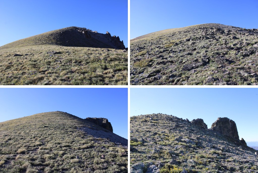
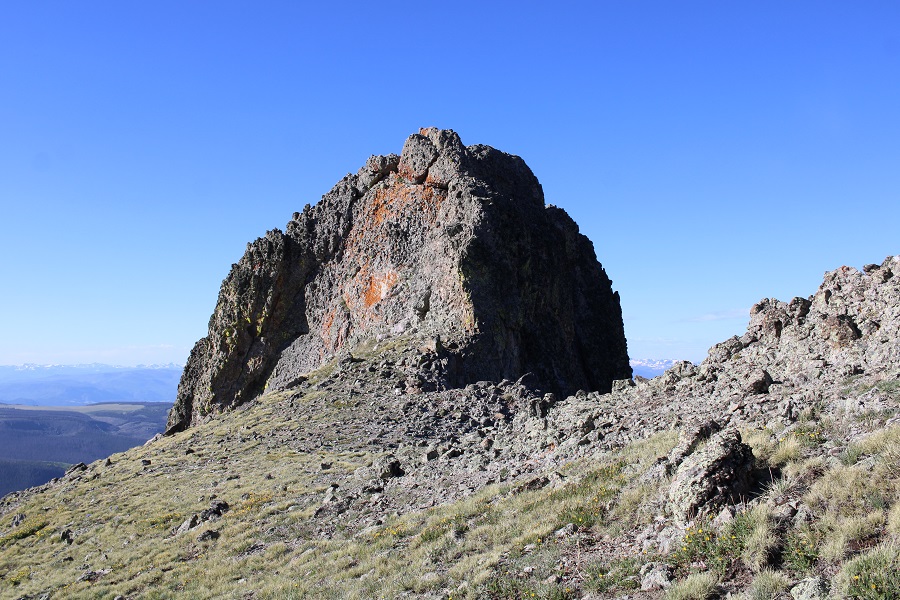
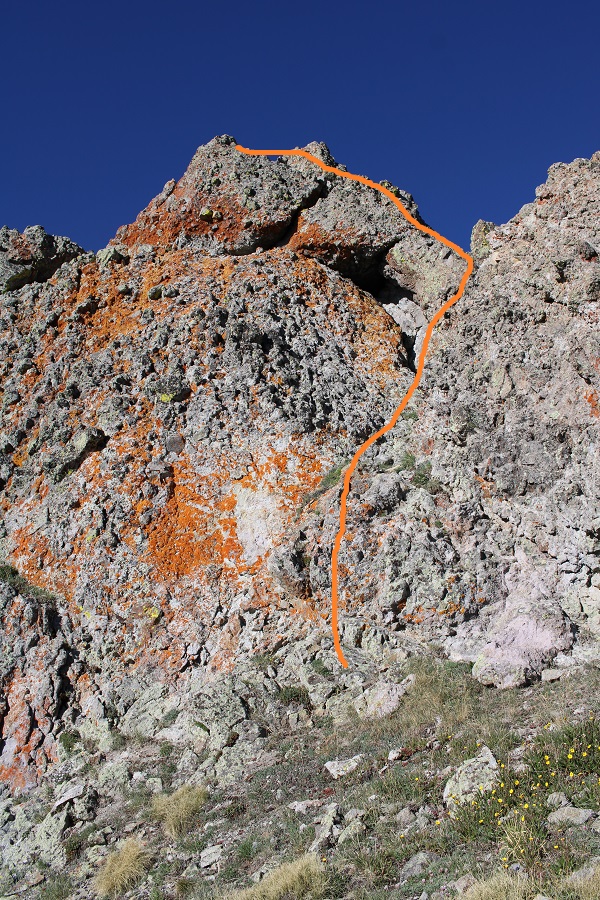
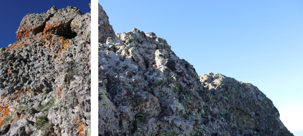
Until I saw this. Hmmm… I was going to have to go and investigate. I headed to the east side of the formation, dropped all my gear except my camera, and headed up. Sorry, no helmet, as I wasn’t aware this was more than a class 2 hike.

This was easier than it initially looked, nothing worse than rainbow climbing at the gym. The rock was all grippy, sturdy, and had lots of hand/footholds. The rock was solid, like in the Crestones, but with more and larger hand holds. I’d call this 30 feet of vertical climbing exposed class 3.

Here’s the route I took up, following the orange rock to the ridge, turning left, and crawling on hands and knees to the summit because it was windy (and exposed, and I didn’t have a helmet, etc.).

I summited 13,166 at 8am
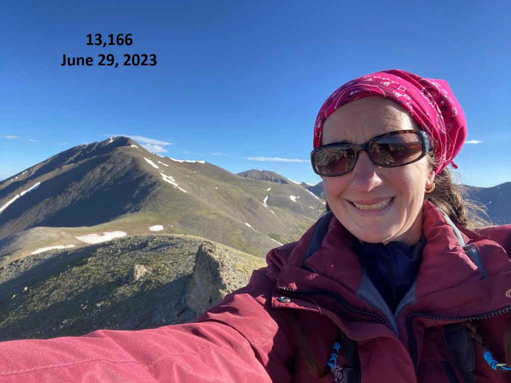
13166:
Now to head back down. I actually just did this feet first, no need to turn and face the wall. There are plenty of hand and foot placements to use for support.
Back on firm ground, I grabbed my gear, and headed back to the saddle.
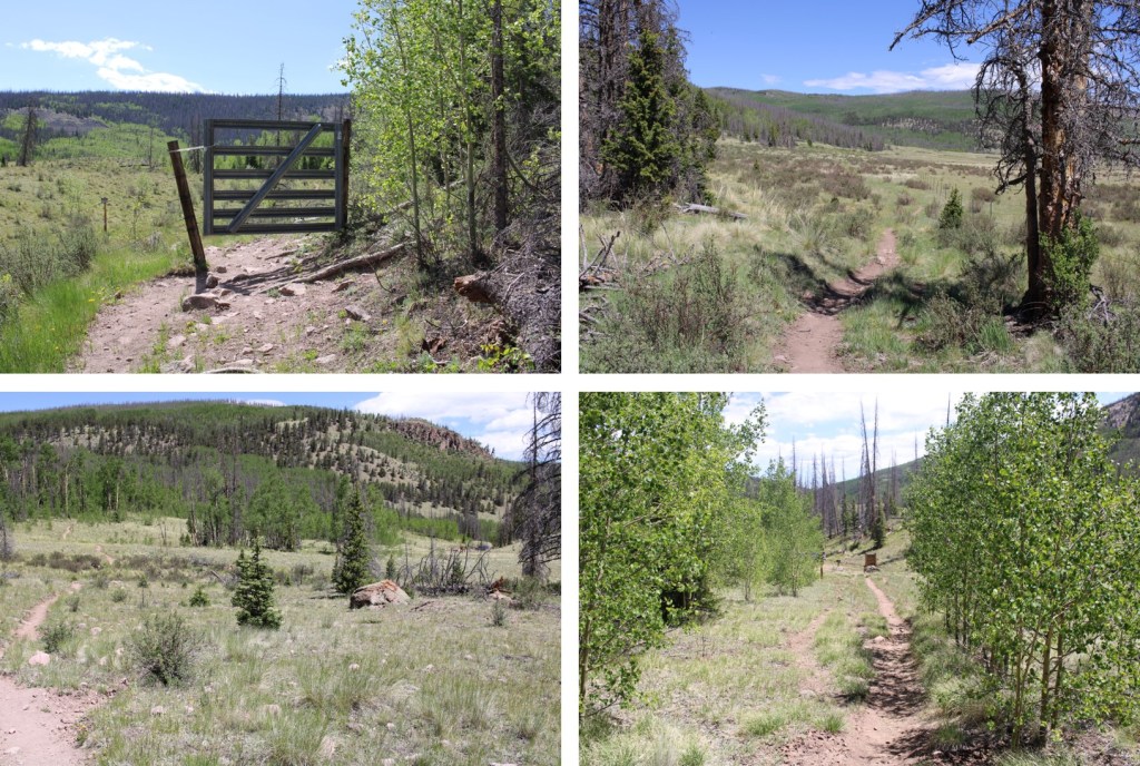
Back on the Colorado Trail, I followed it back to the trailhead
Oh, and I saw another moose. This one was curious, and kept walking towards me, so I didn’t stay long.

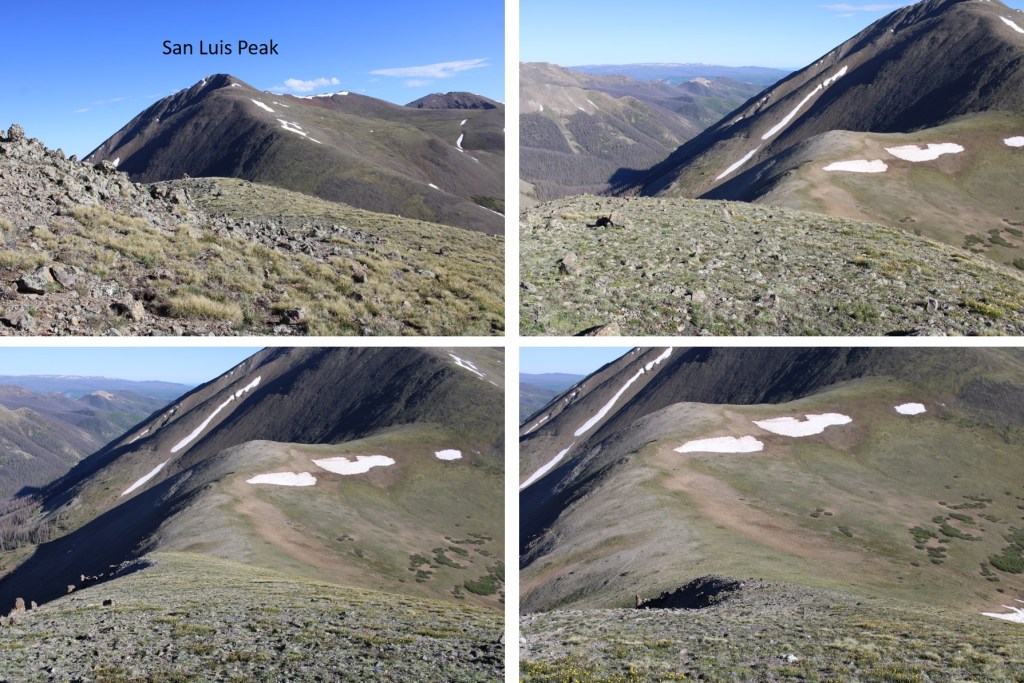
Here are some pictures the rest of the way back to the trailhead

Back at the trailhead, I noticed a chipmunk under my truck, seated atop a sock full of moth balls. So I’m guessing they don’t work with chipmunks. Oh well, at least it wasn’t a marmot. I made it back to my truck at 11am, making this a 17.29 mile hike with 3120’ in elevation gain in 7 hours.

I’d say “on to the next trailhead!” but I’m staying here.