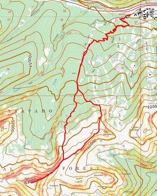
RT Length: 12.45 miles
Elevation Gain: 3551’
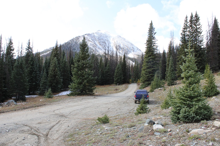
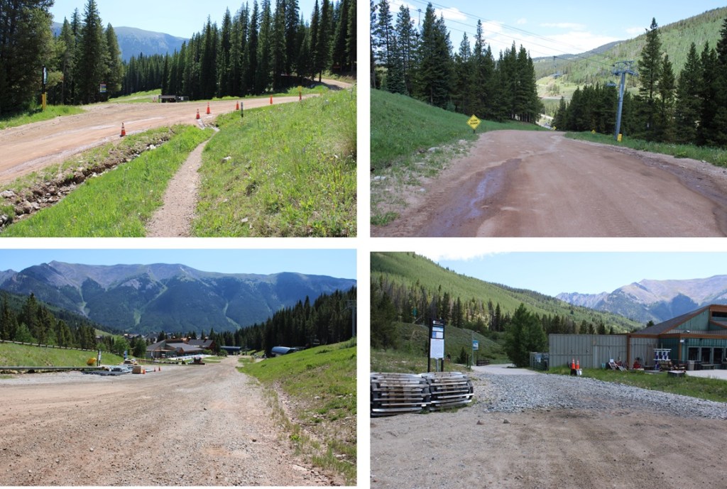
I didn’t summit the way I’d intended. The place I’d wanted to park and hike had a bunch of “No Parking” signs, and there wasn’t another good place to park for miles, so I turned around and headed to the Copper Mountain Ski Area. I found a parking spot just under the lifts, and before entering Lewis Ranch, but there was a sign that said “Tow Away Zone from 10pm-6am”, so I waited around until 6am, and hit the trail from Copper Mountain Ski Area.
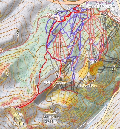
I’d planned on hiking up the road for as far as I could get, but as I started heading up the road, I noticed several pieces of large equipment being driven up the road ahead of me (think cranes, bulldozers, etc.). It’s been my experience that when these vehicles are in operation, the operators tend to ‘kindly’ ask you to leave the area (or escort you down). Being a solo female hiker who’s encountered this type of thing before, I don’t like to get into these types of situations. Instead, I went with Plan C: I’d hike the Colorado Trail for as long as I could, then start ascending ski runs. So, if this isn’t the conventional way to summit Jacque Peak in the summer, please forgive me, as it was my third option.
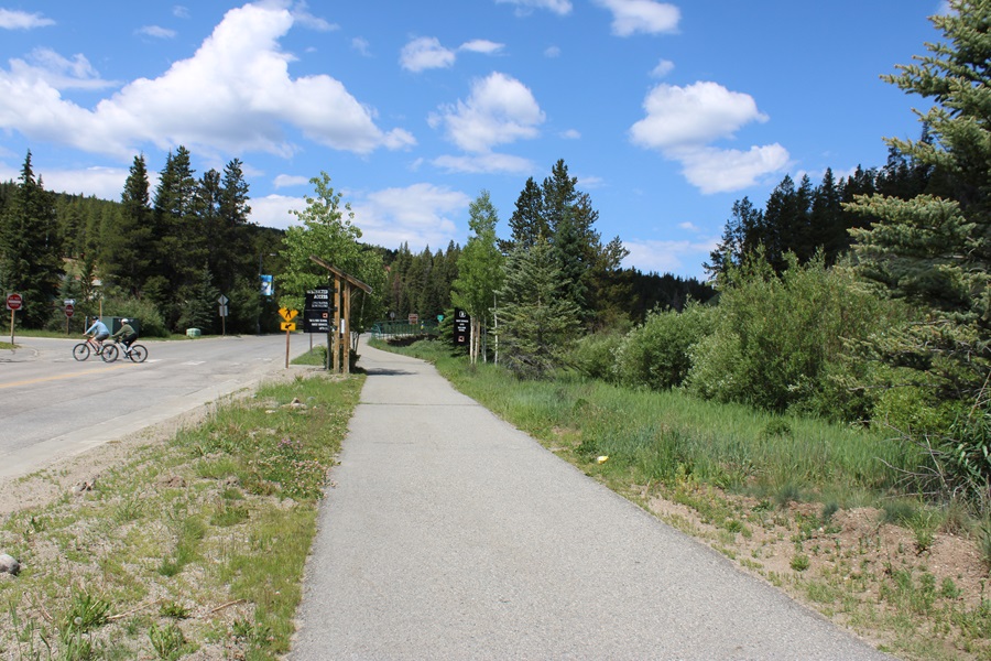
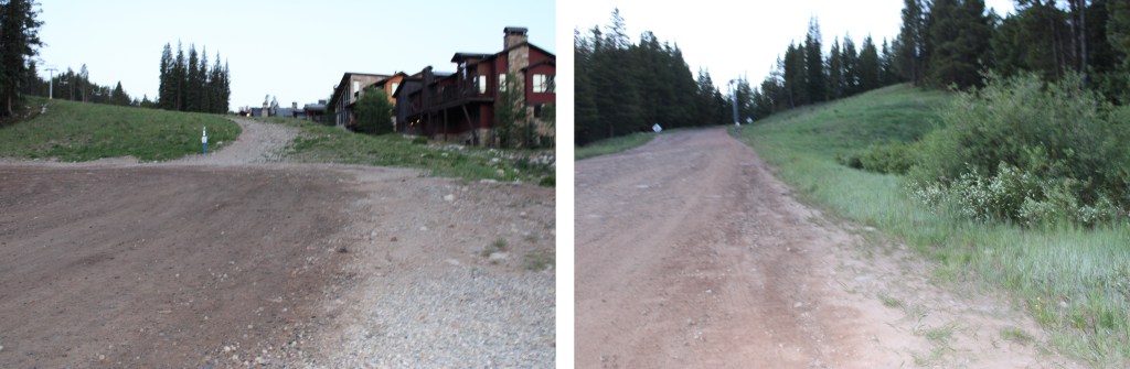
I left the parking area at 6am, and headed west toward the ski lifts.
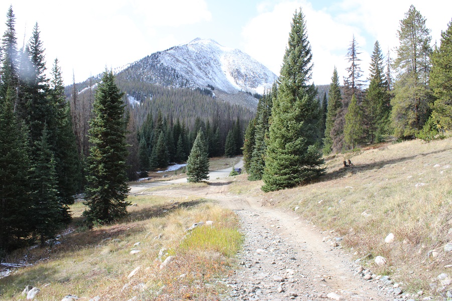
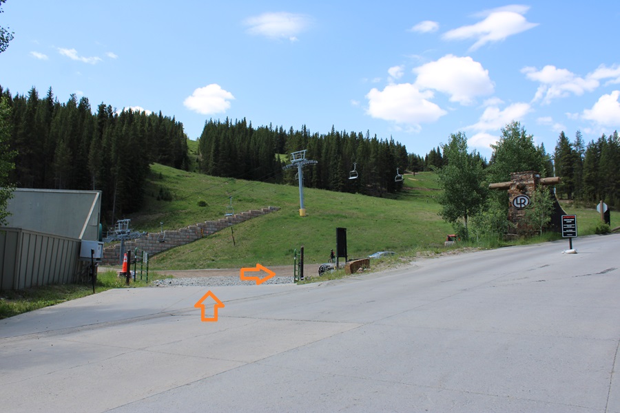
I walked through this gate, and started following the dirt road as it wound west and then southeast.
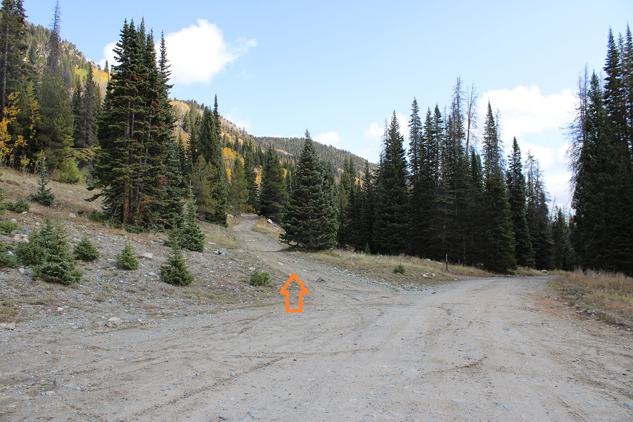
I quickly came to the junction for The Colorado Trail. It’s on the right side of the road, and clearly marked. I turned right.
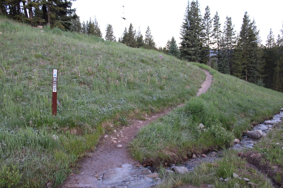
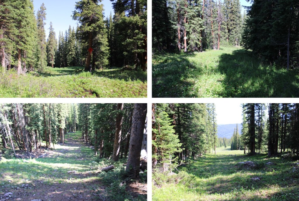
I followed The Colorado Trail for just under 2 miles, staying on The Colorado Trail at junctions.

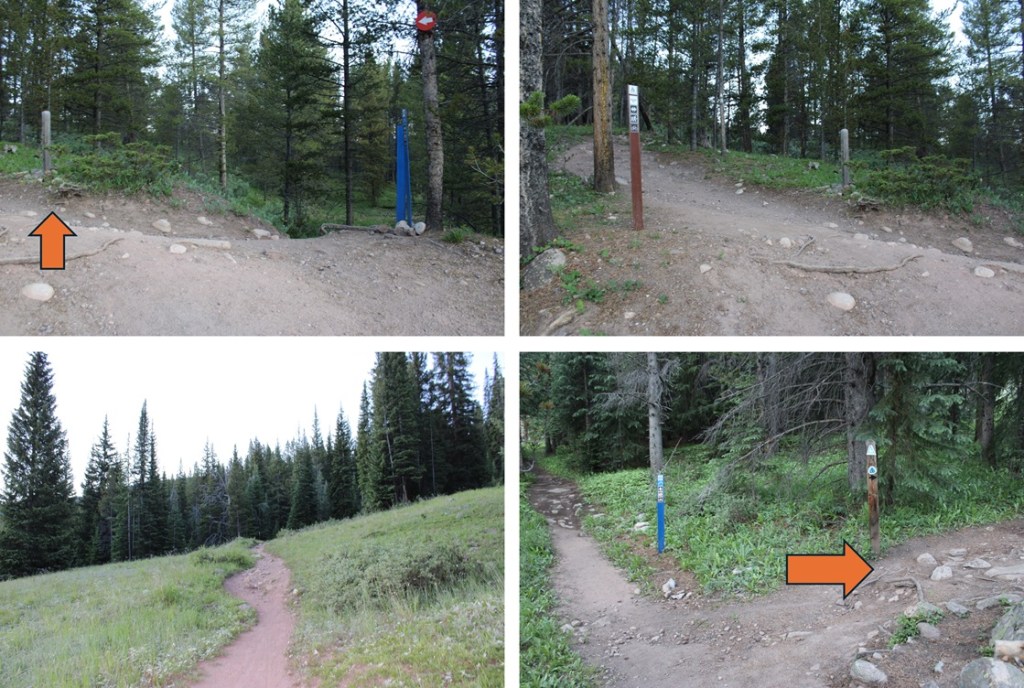
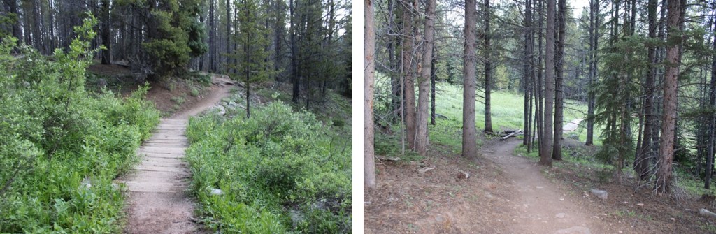
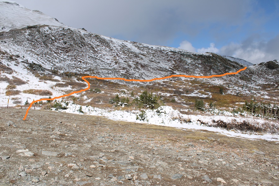
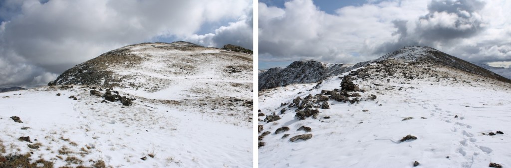
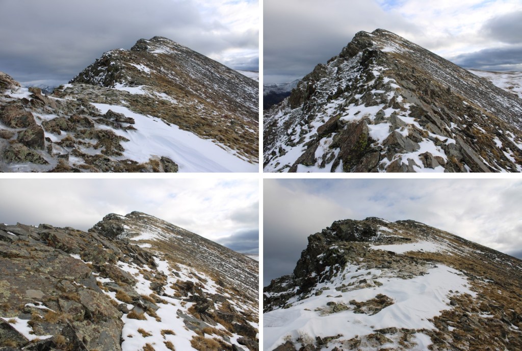
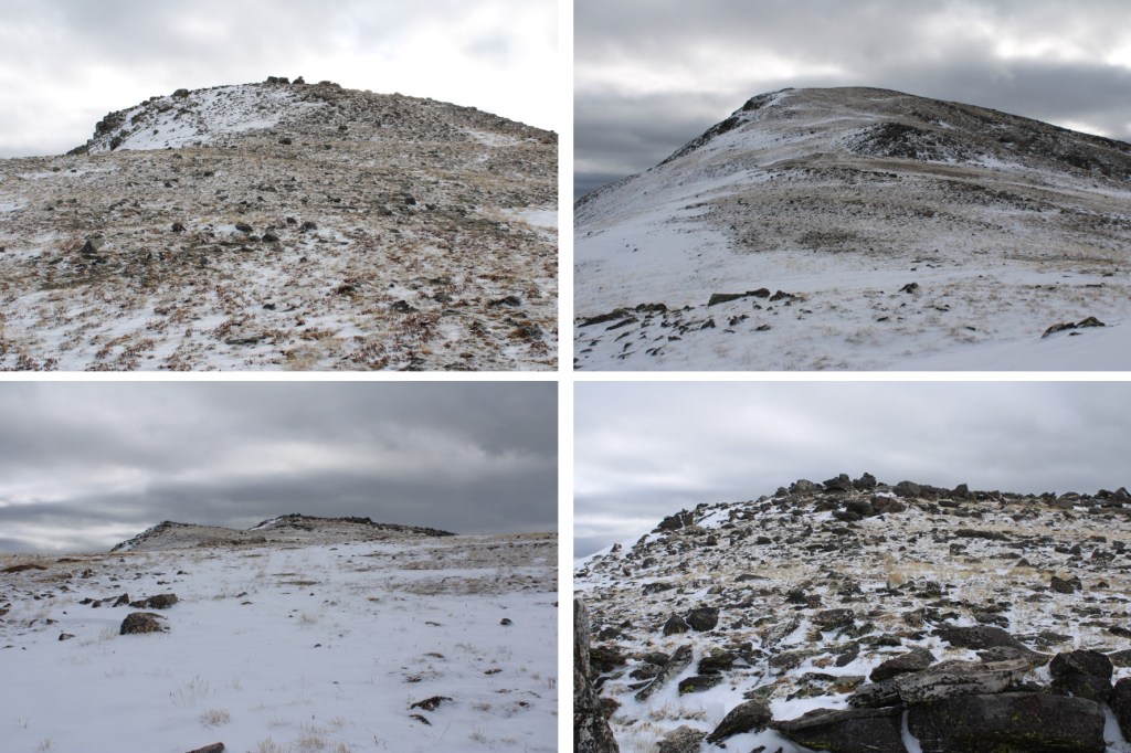
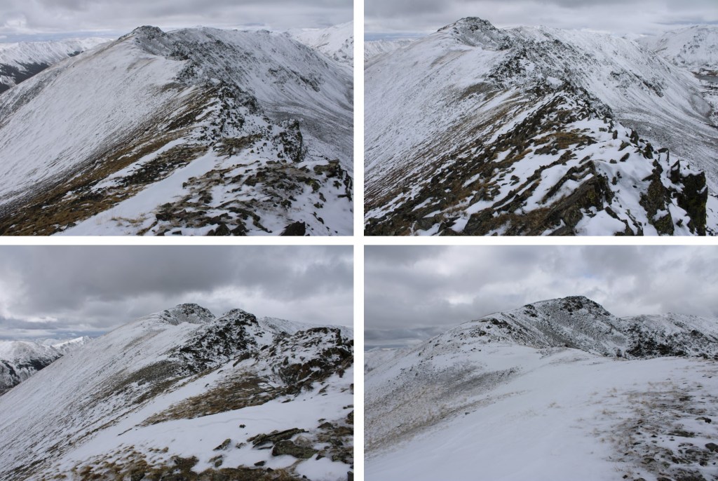
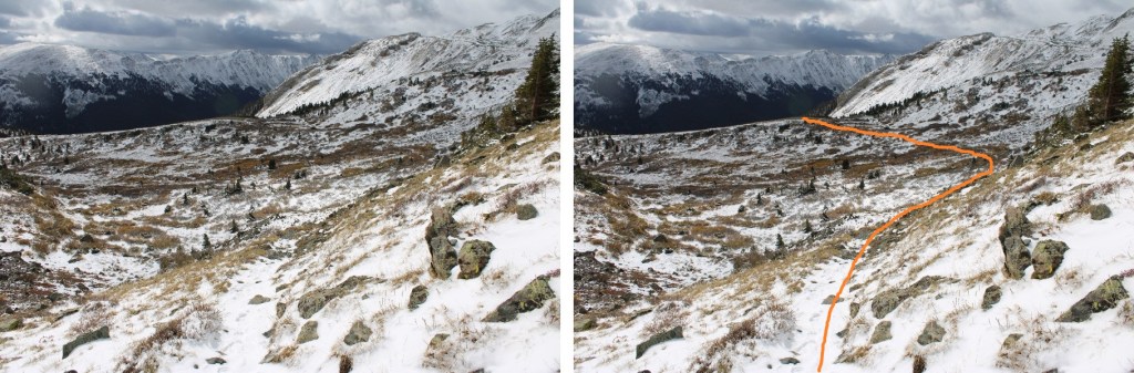
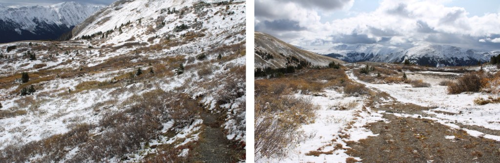
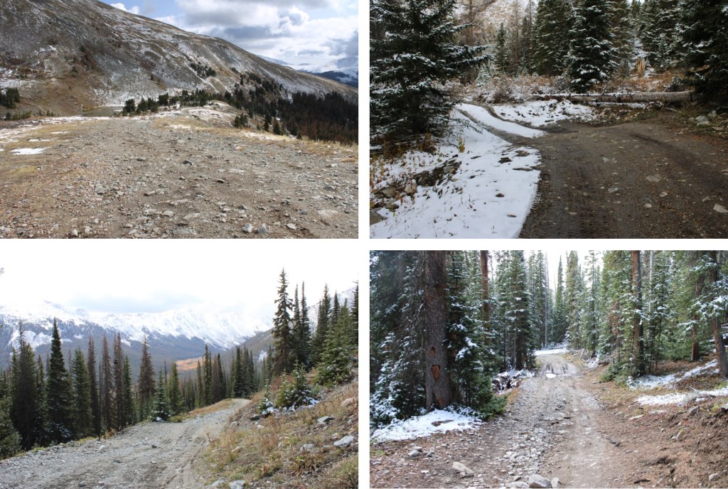
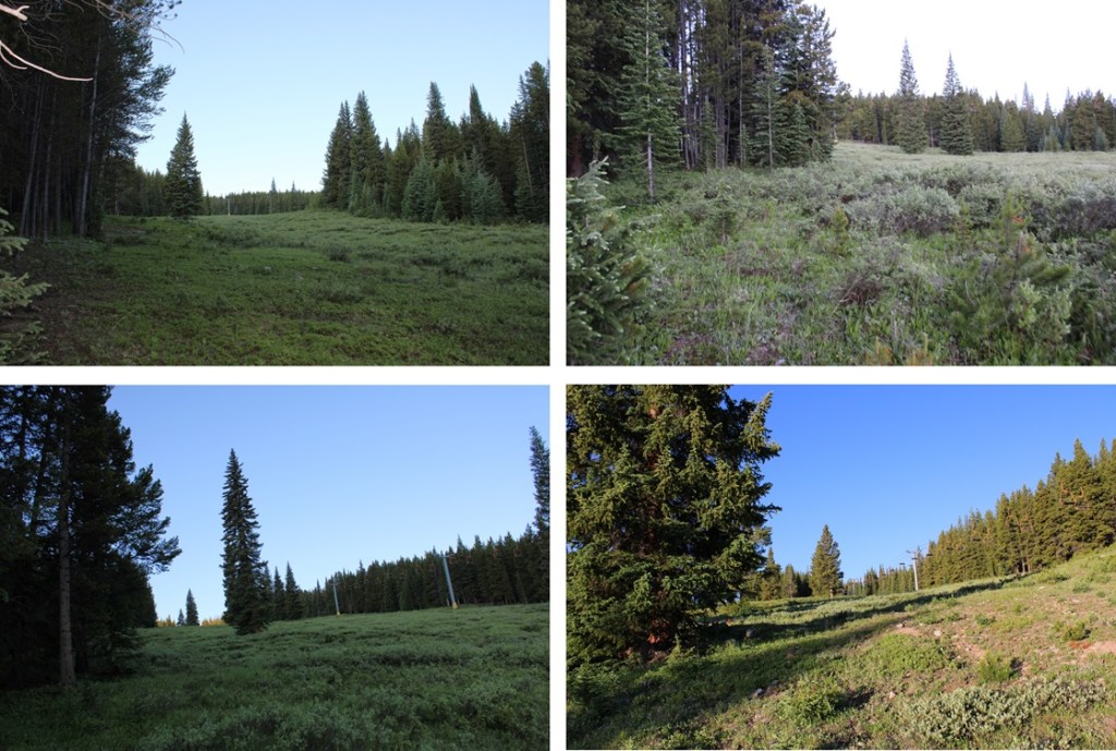
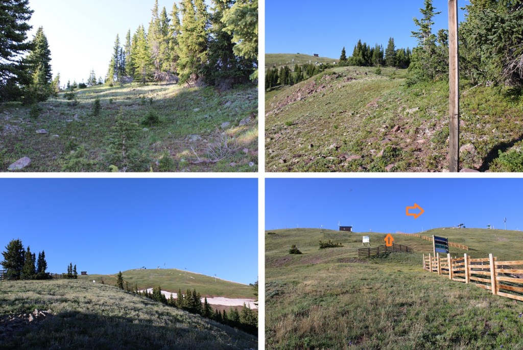
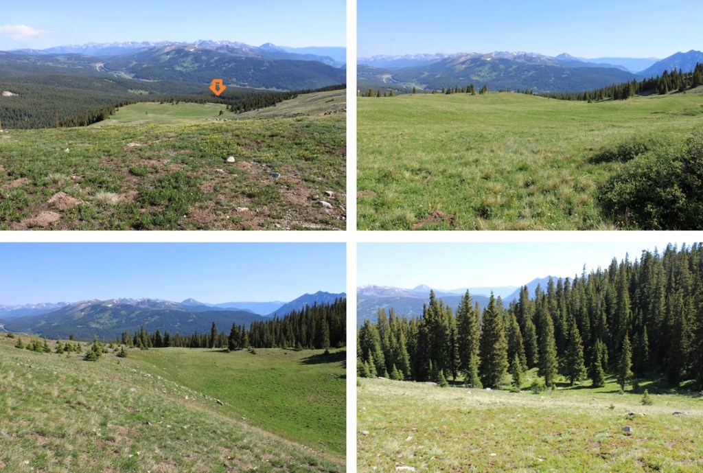
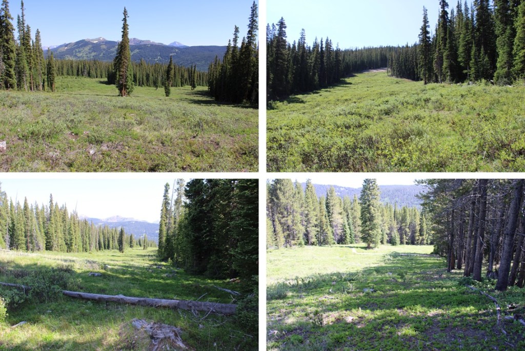
When I came to the Fairway Ski Run, I left the trail, and headed southwest up the run. For those of you skiers out there, or anyone with a map of the runs, I took Fairway to Roundabout to Soliloquy to the ridge. There were nice game trails to the hikers left of the runs that I was able to follow to stay out of the willows. I just kept following the runs up and southeast. Here are some pictures of the route:

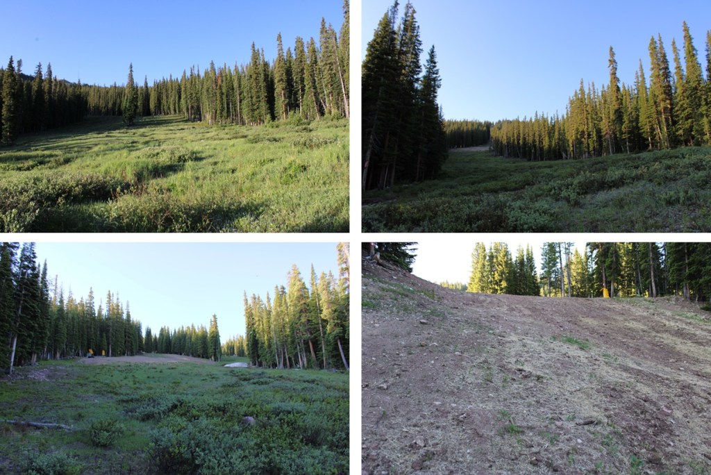
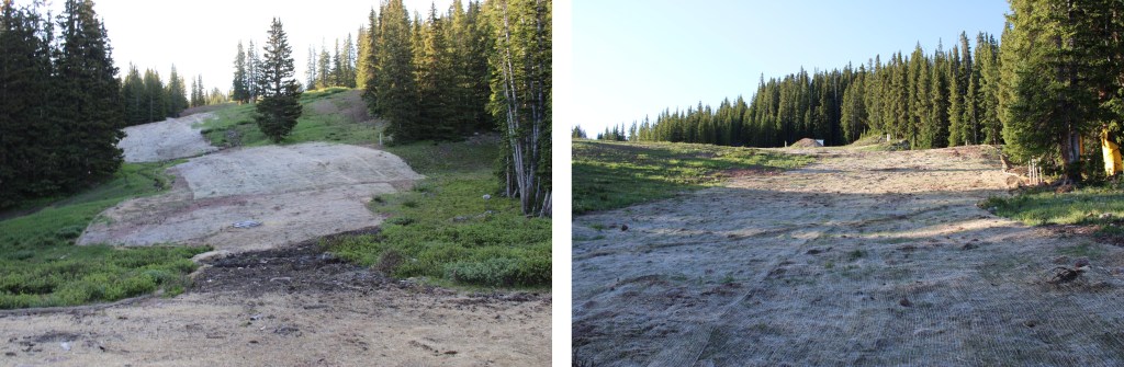
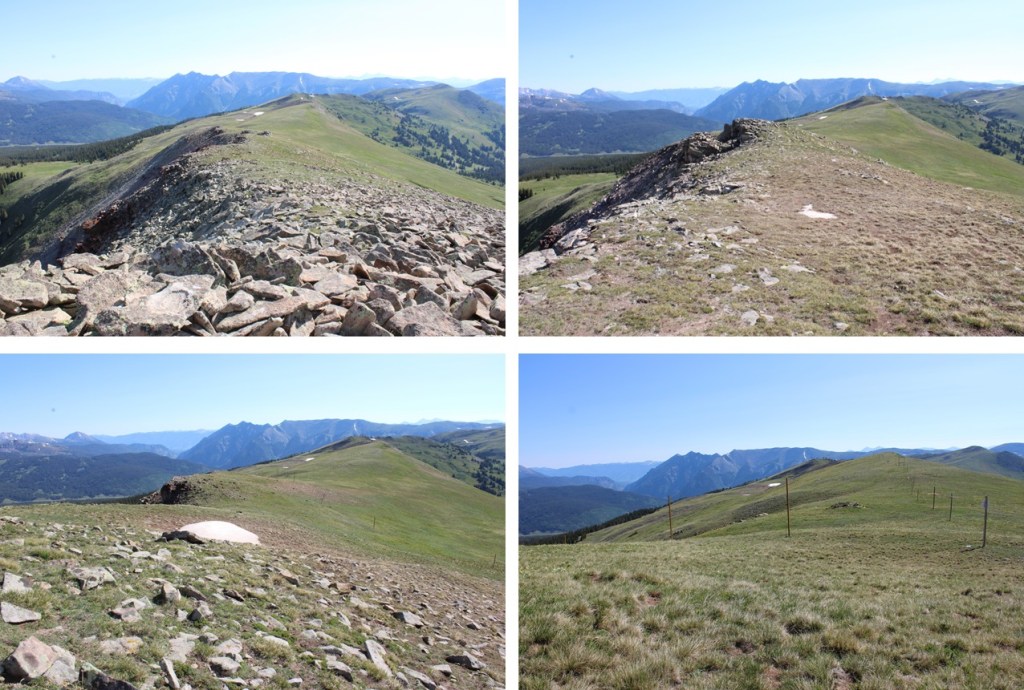
When I came to 11600’ there was a big dirt pile and a bulldozer moving the dirt. Not wanting to get in their way, I turned right and headed up the ridge, following the road south to the ridge.
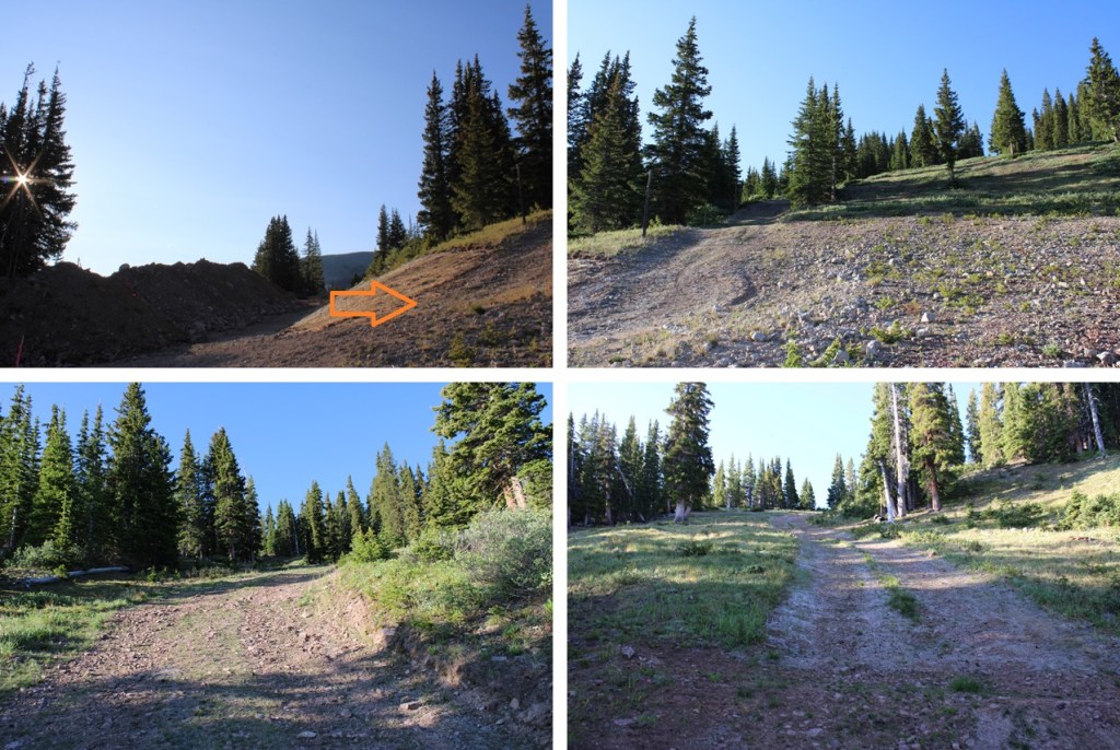
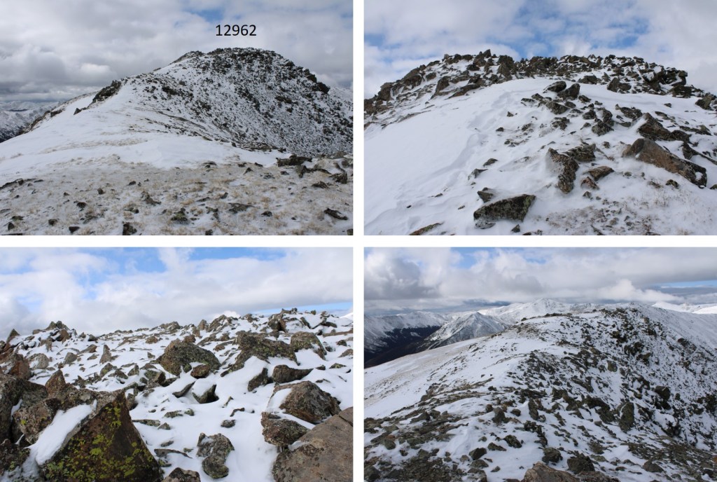
Then continued following the ridge south towards Union Mountain, which is just to the west of the last ski lift.
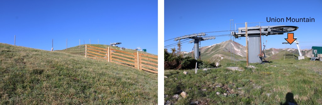
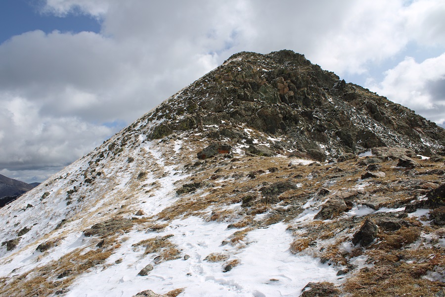
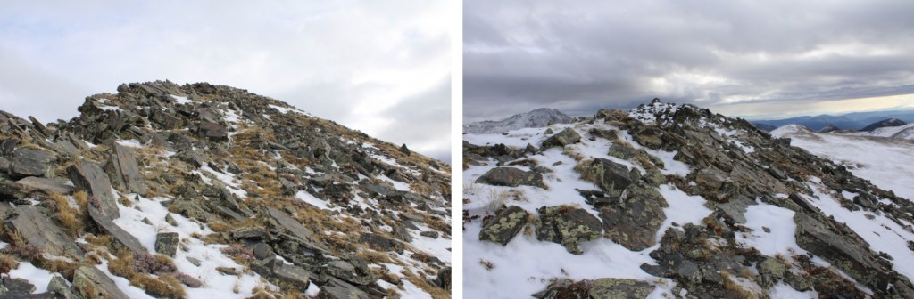
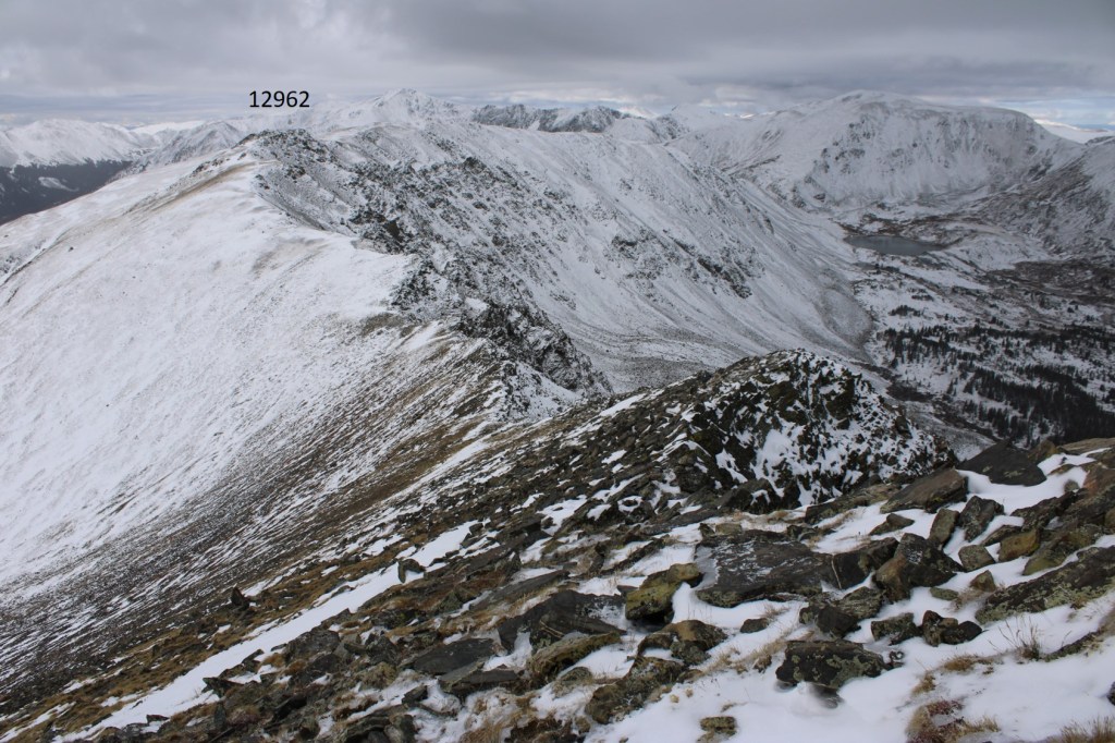
I summited Union Mountain at 7:30am
Union Mountain:
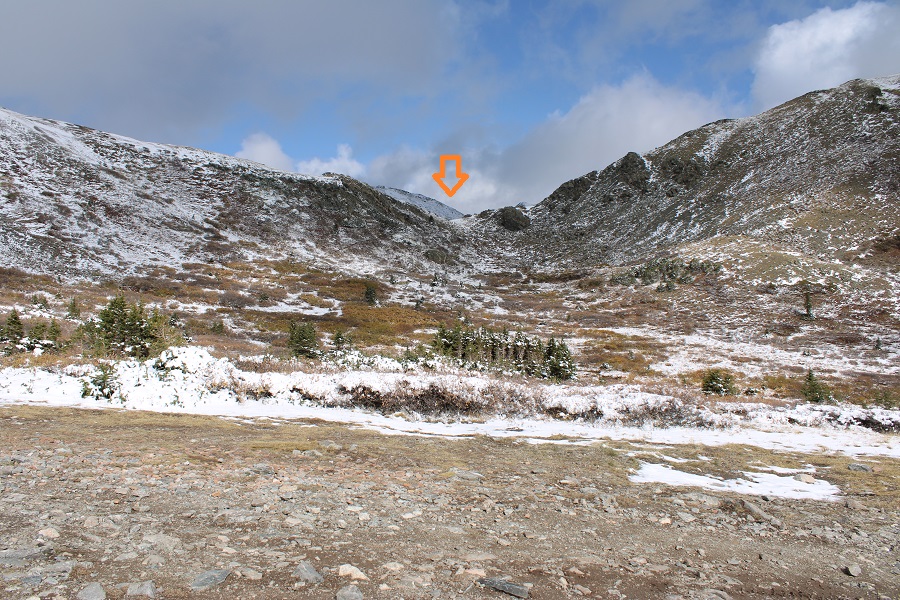
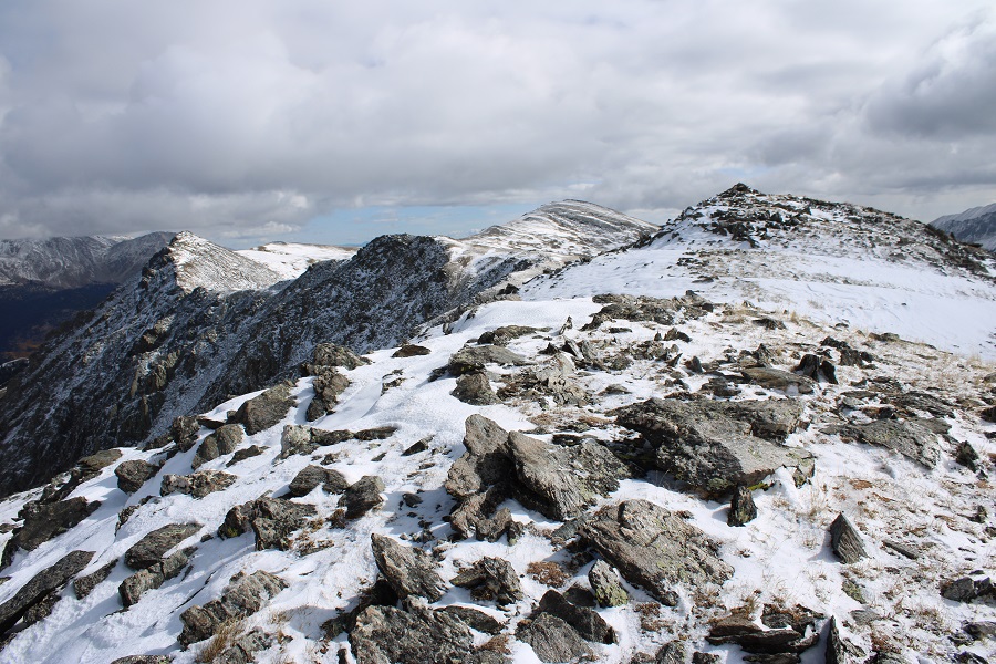
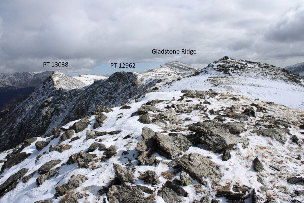
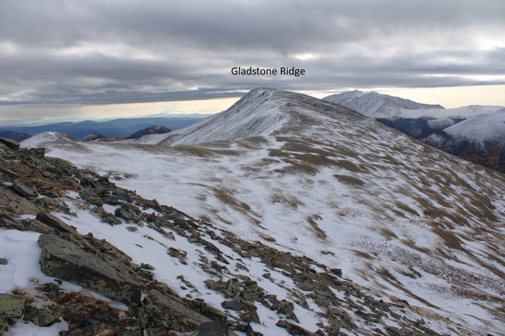
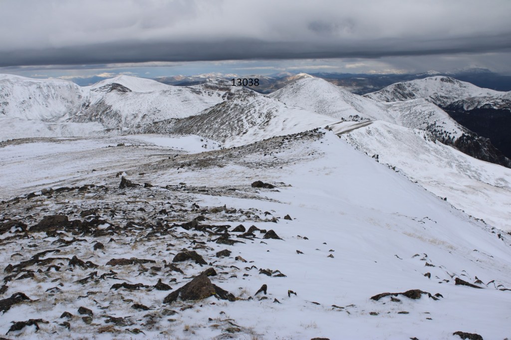
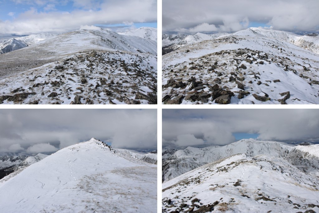
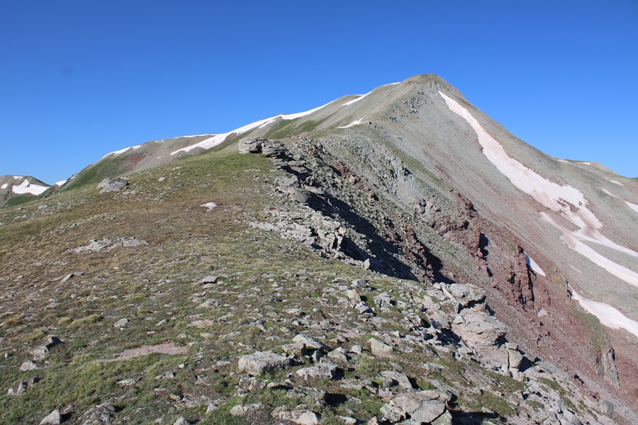
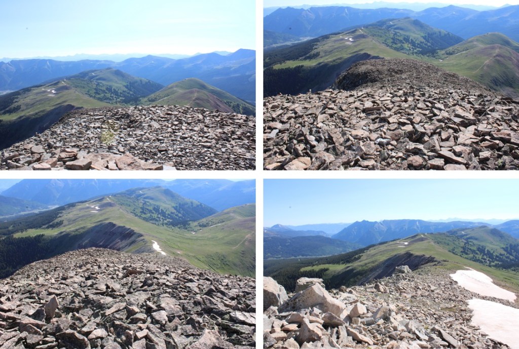
From Union, you can clearly see Jacque Peak looking to the southwest.

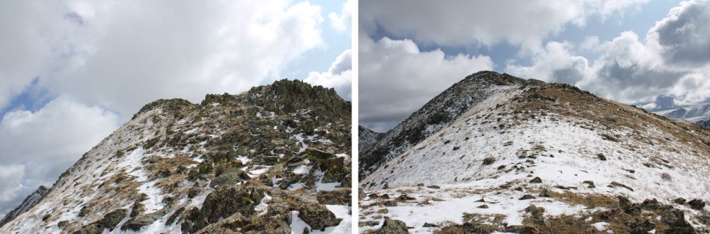
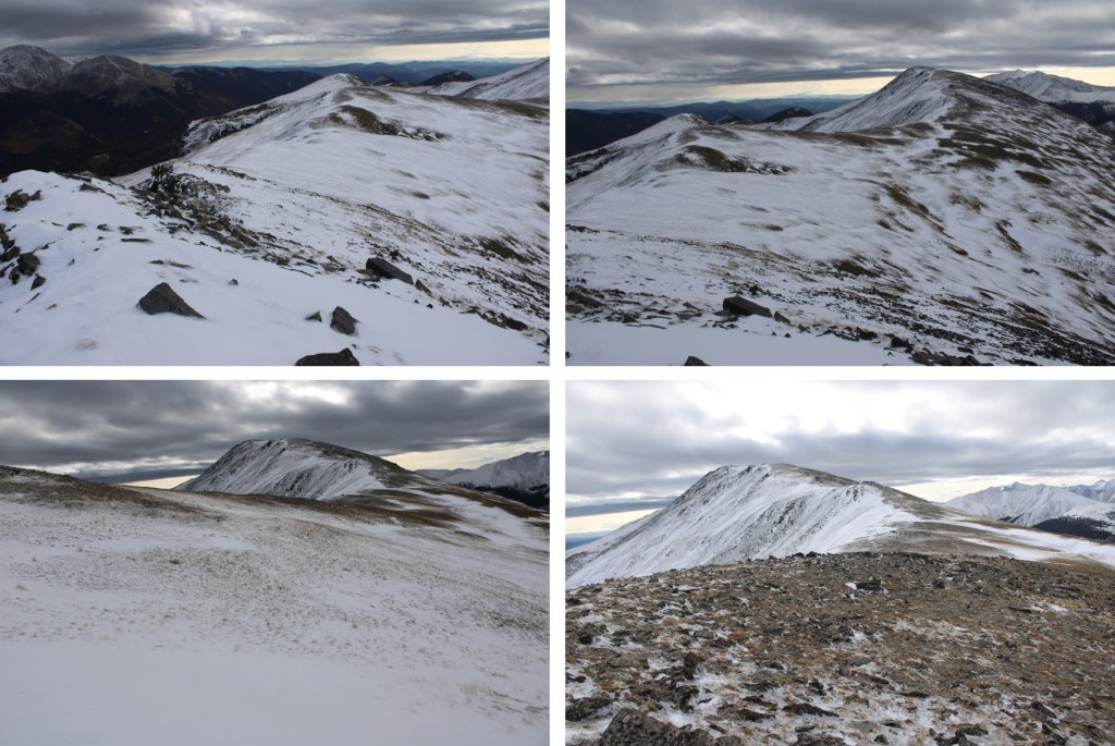
As you can imagine, this was a straightforward ridge hike to the summit. From Union, I gained about 900’ to the summit of Jacque. There were a few rocky areas in the beginning, then tundra, then more rocks. All the rocks were loose, so watch your footing, especially as you near the summit. This was all class 2, with no trails.

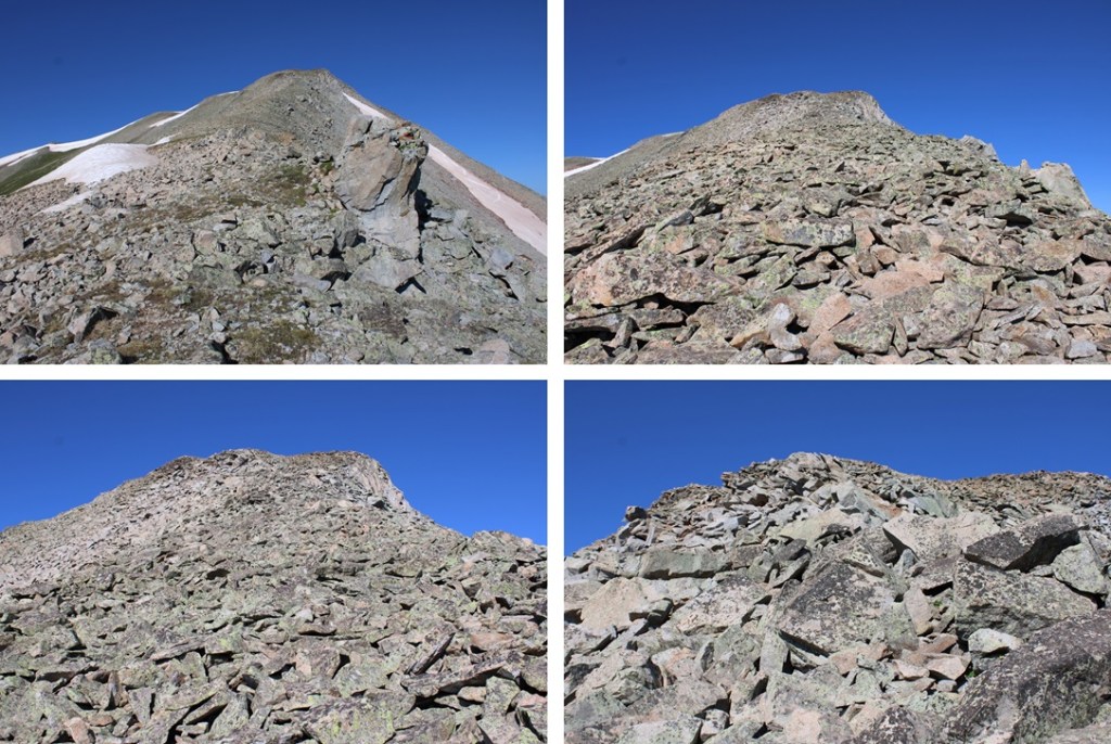
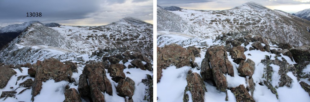
Oh, and there’s a false summit
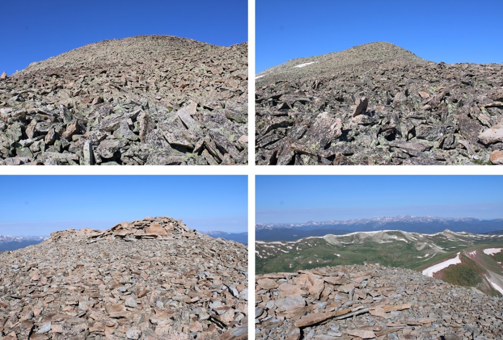
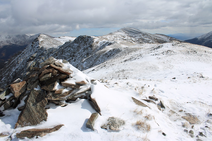
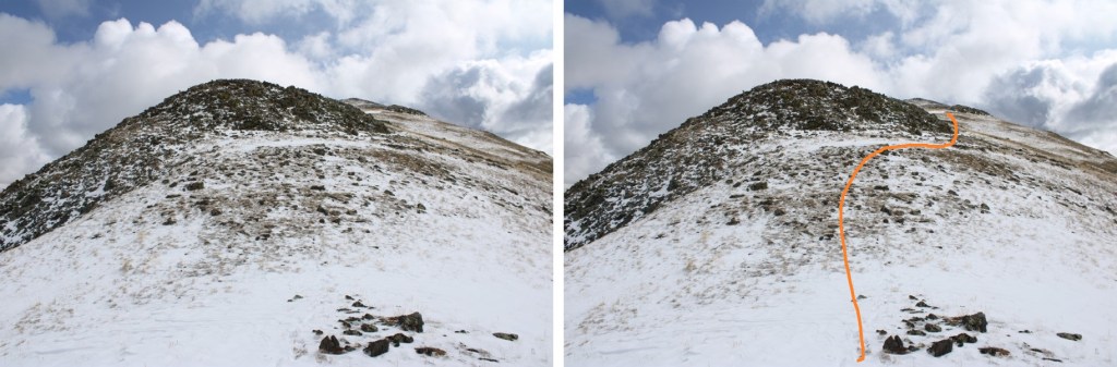
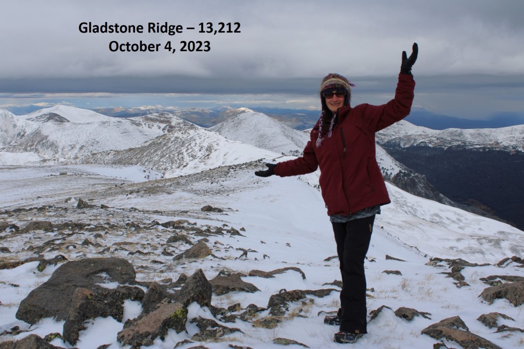
I summited Jacque Peak at 8:40am
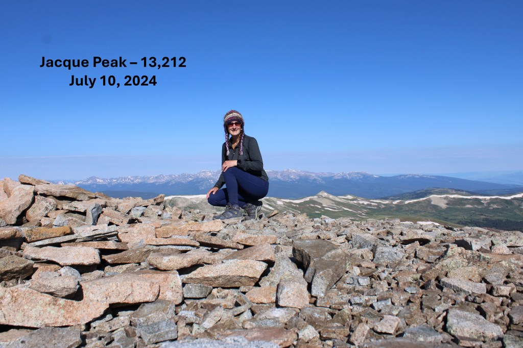
Jacque Peak:
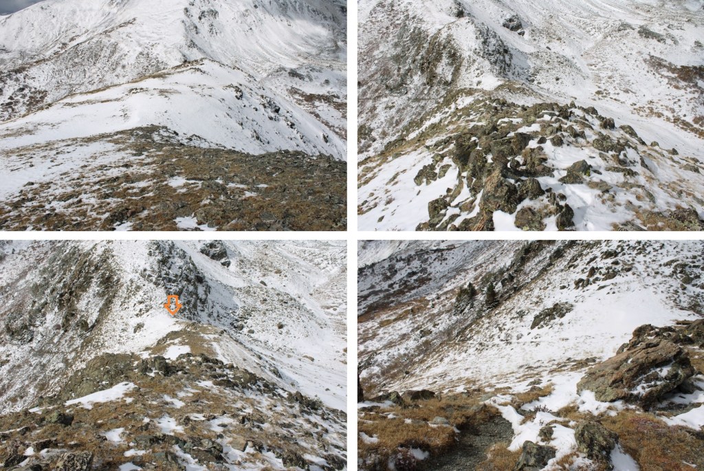
I turned and headed back down the ridge.
But I didn’t descend entirely the same way I ascended. Instead, about halfway along the ridge between Jacque and Union, I turned left and headed north down the West Ridge Traverse Route. I took West Ridge Traverse to Soliloquy to Roundabout, then Fairway to The Colorado Trail. It sounds daunting, and at times the runs get narrow, but I just followed the wooden posts initially, then the Ski Area Boundary signs and little pieces of pink surveyor’s tape heading down and south (there are signs every 30 feet or so), staying on game trails to the right of the runs. And you don’t need to take the same route I did. As long as you’re headed down on a ski run, it’ll take you back to the lifts.


I made it back to The Colorado Trail, turned right, and followed the well marked trail back to the dirt road, then back to my parking spot. The lifts were running on my way down, carrying visitors/hikers to the top.


I made it back to the trailhead at 10:45am, making this a 12.45 mile hike with 3551’ of elevation gain in 4 hours, 45 minutes.
On to the next trailhead!