RT Length: 8.82 miles
Elevation Gain: 2420’
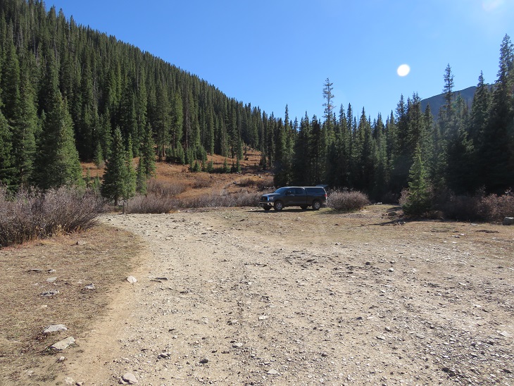
I drove up the night before, and parked at Red Mountain Pass. There’s a dispersed campsite you can see from the road that I like, so I parked there. There are a few more sites further up.
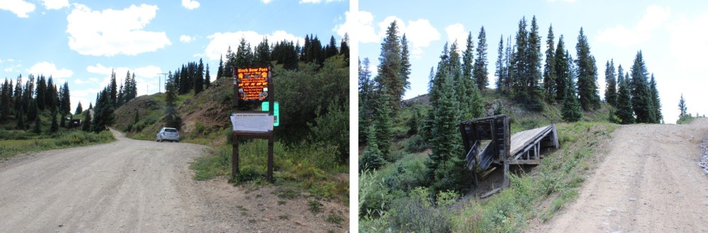
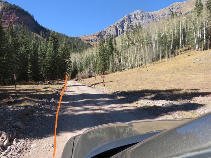
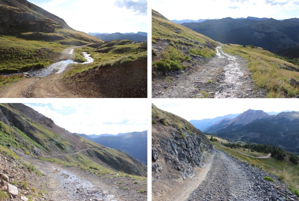
Knowing the area was supposed to get rain and storms starting at 9am, I was up and on the trail at 4:30am. I followed Road 823 to the junction with Black Bear Pass.
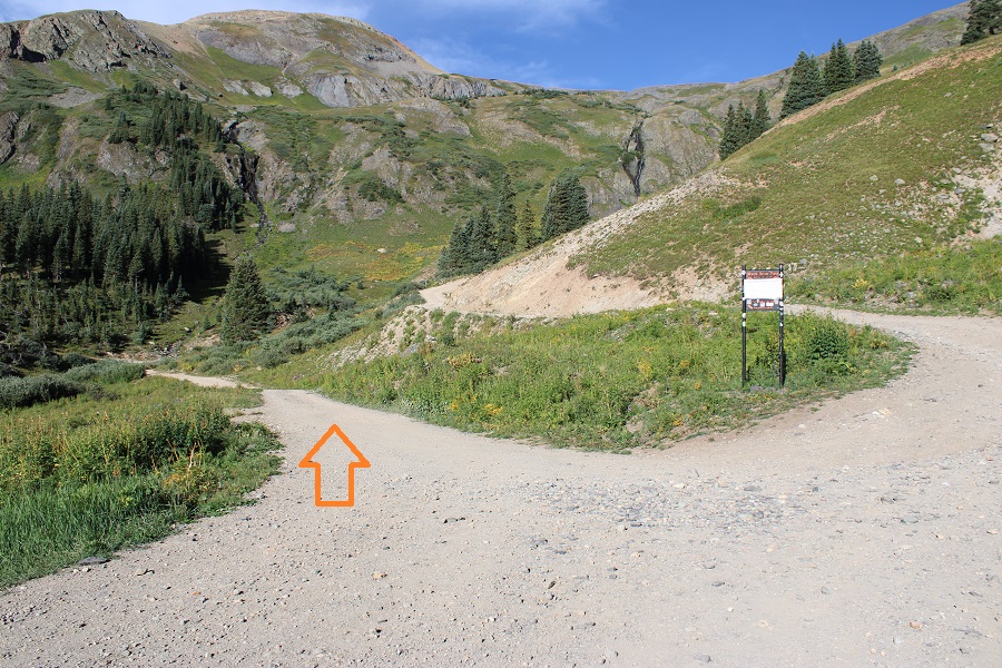
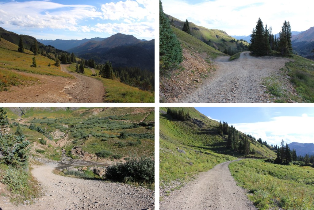
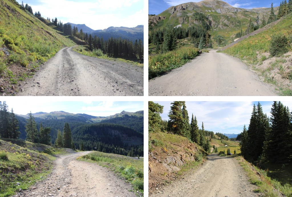
At the junction with Black Bear Pass, I turned left and followed Road 622 through Porphyry Gulch
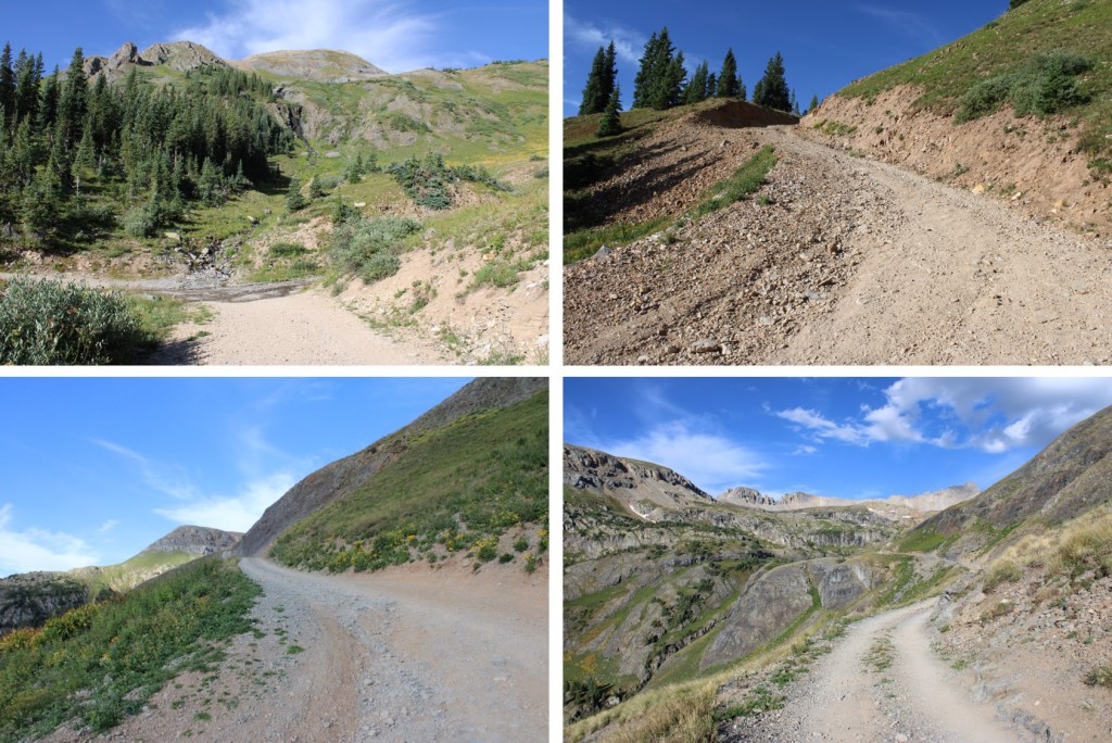
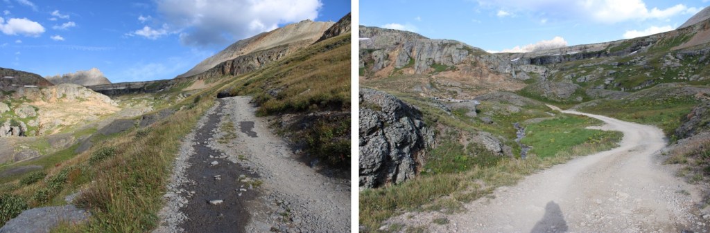
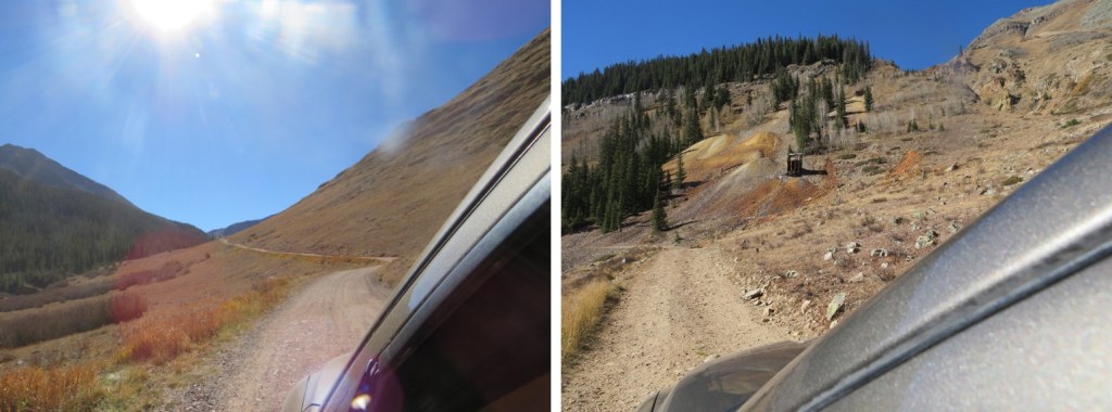
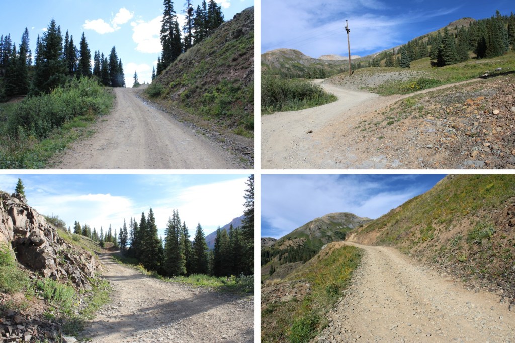
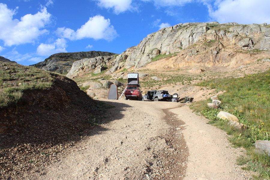
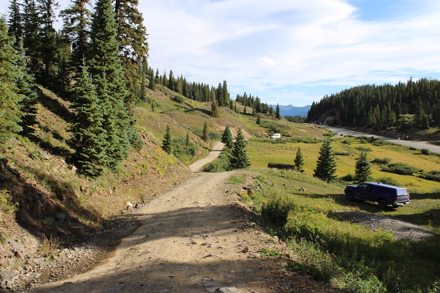
It was 2.6 miles from Red Mountain Pass to the upper trailhead, on an easy 4WD shelf road with few passing areas. When I got to the upper trailhead, I was surprised to find someone had set up camp in the upper parking lot/turn around area. Normally, there’s room for 7 cars here, but these people took up at least 4 spots. When the ant train of 4WDs come up later today, they are not going to be happy.
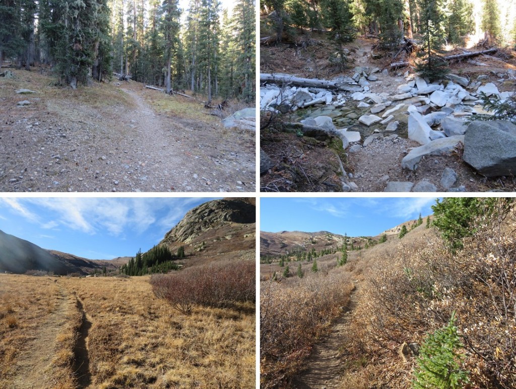
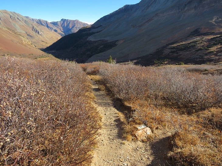
The trail starts to the left of the parking area, and is initially well defined.
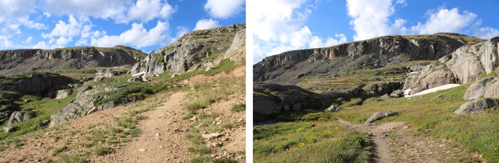
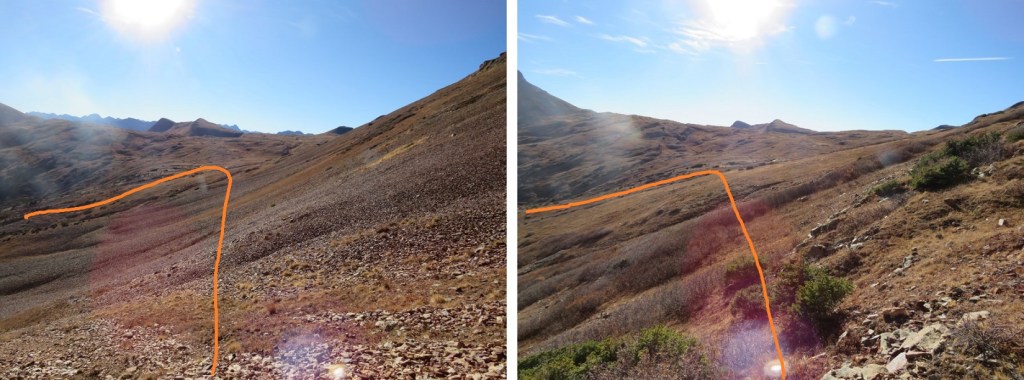
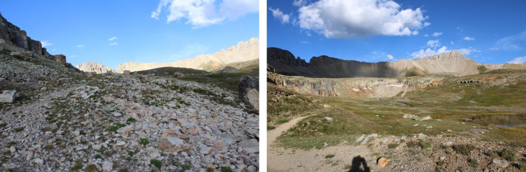
In the dark, the trail was difficult to find for a bit. I was aiming for these rocks
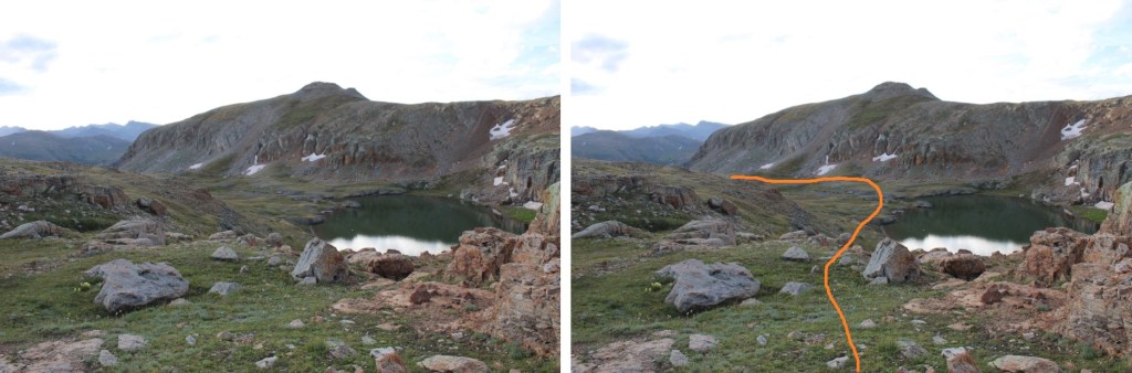
Just behind these rocks, a nice trail picks up to the right, and brings you to Bullion King Lake.
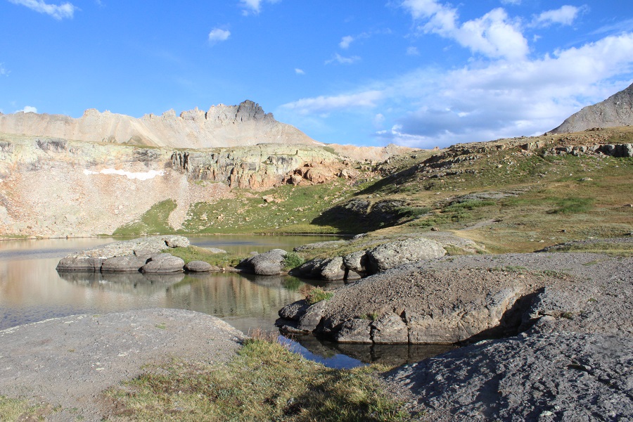
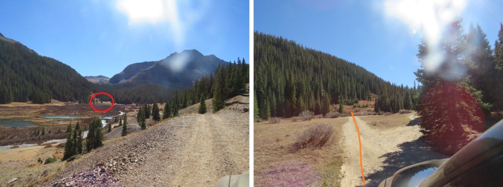
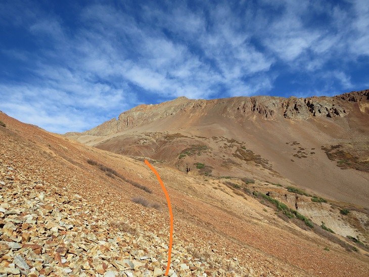
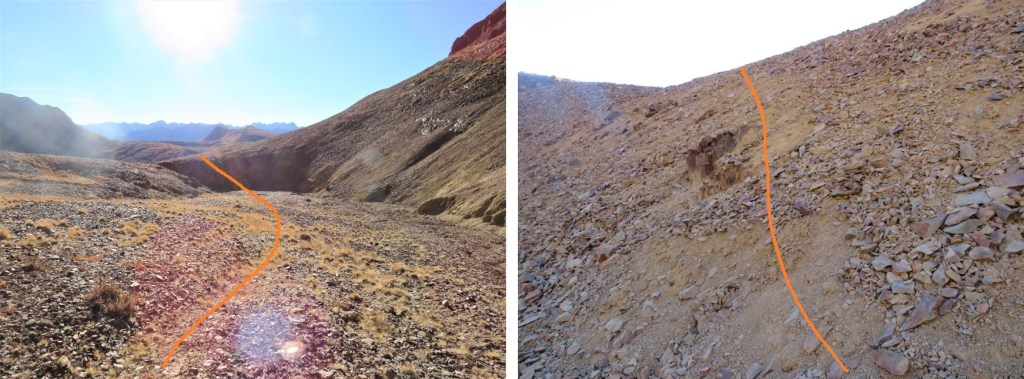
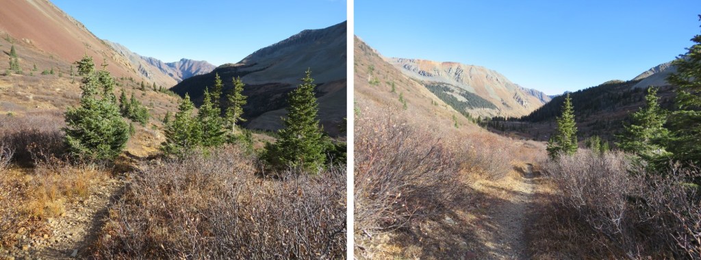
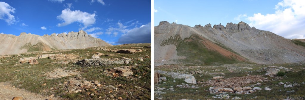
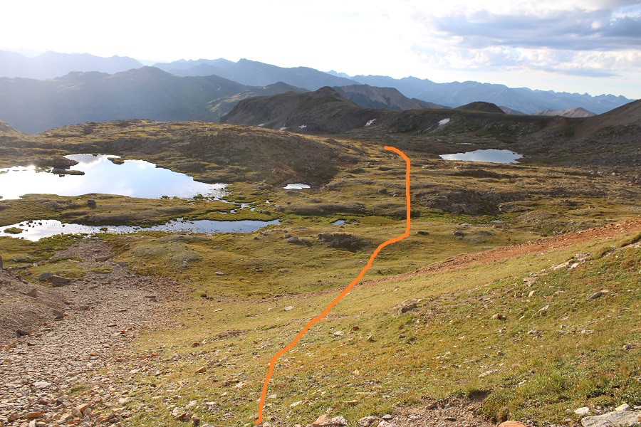
Here’s where the trail ended. I skirted the lake to the right, and started heading northeast into Porphyry Basin
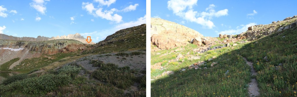
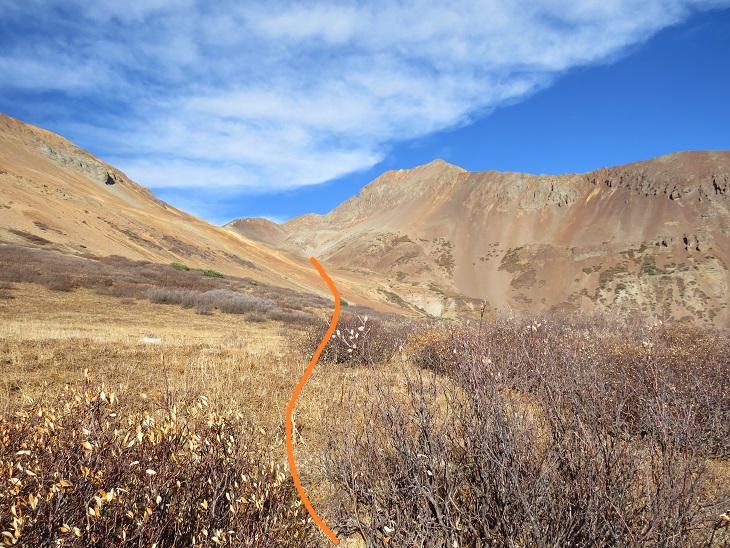
There’s no need to climb all the way to the top here. I skirted to the left, and continued heading northwest. If you look around, you’ll see remnants of old mining equipment and structures in the area, but they’re all flattened at this point.
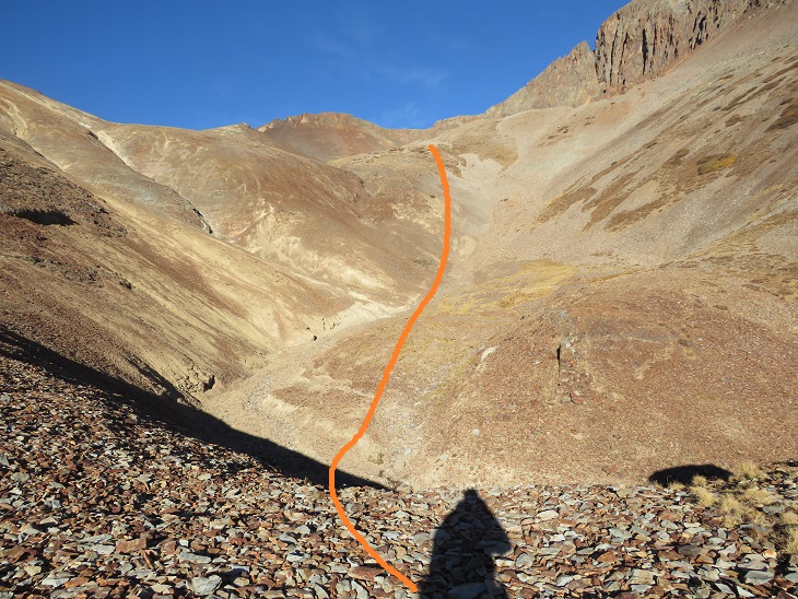
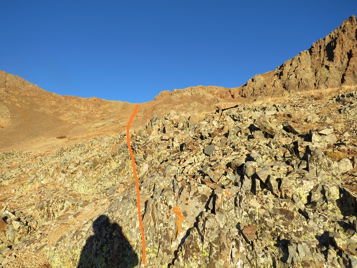
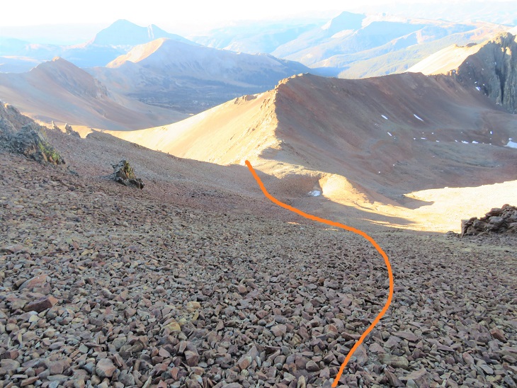
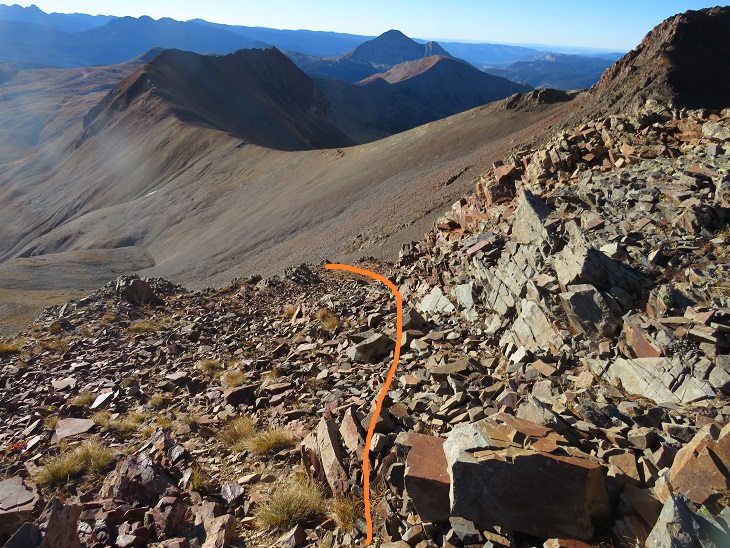
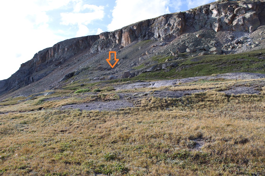
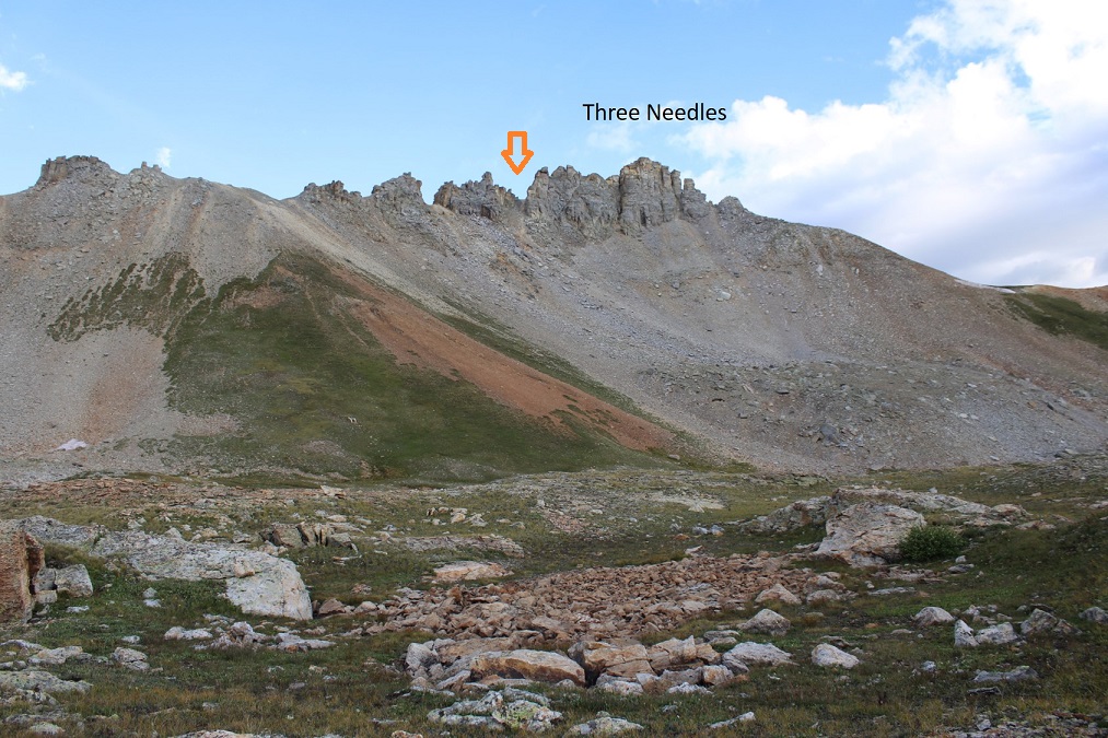
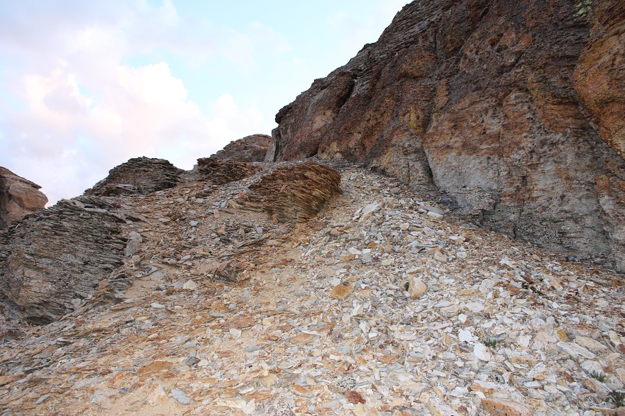
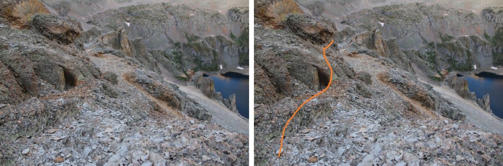
Here is where I strapped on my helmet and microspikes. I could clearly see Three Needles in front of me. I went straight up this gully.
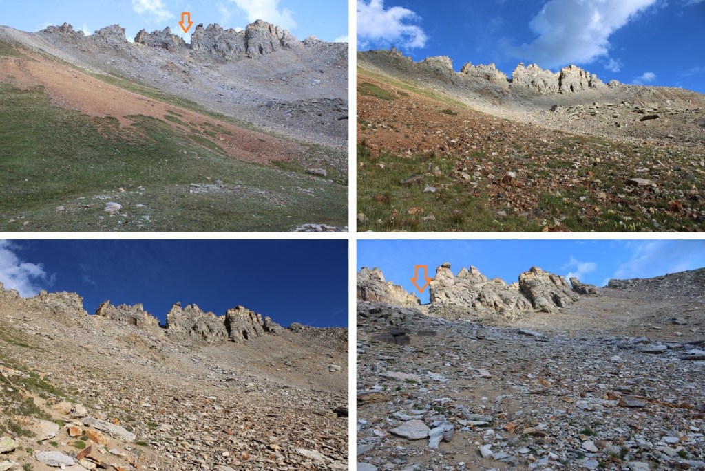
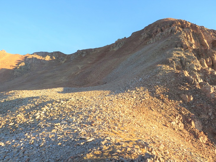
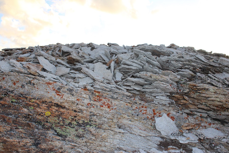
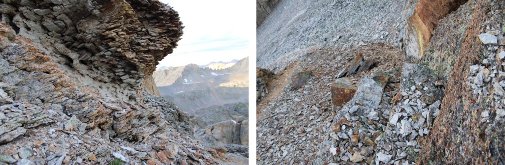
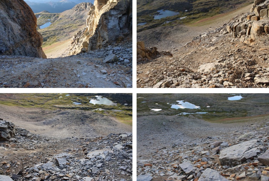
The gully was full of shale and scree. It was loose, and hard to get stable footing. I was glad to have on my microspikes. It looks like the terrain shifts every year, as well as every time it rains. Towards the top there are game trails, but they were more needed down below. Here are some pictures of the gully
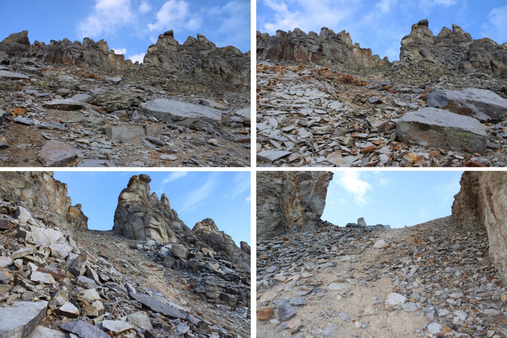
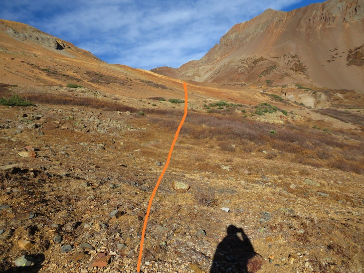
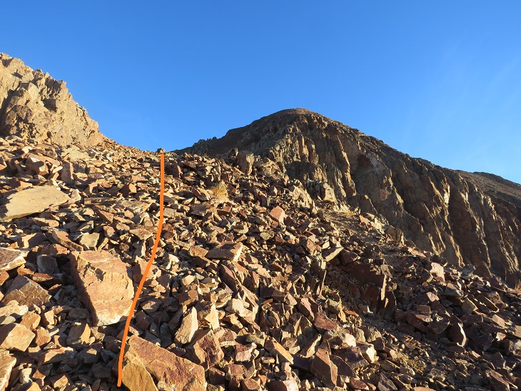
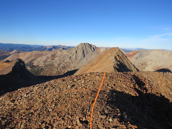
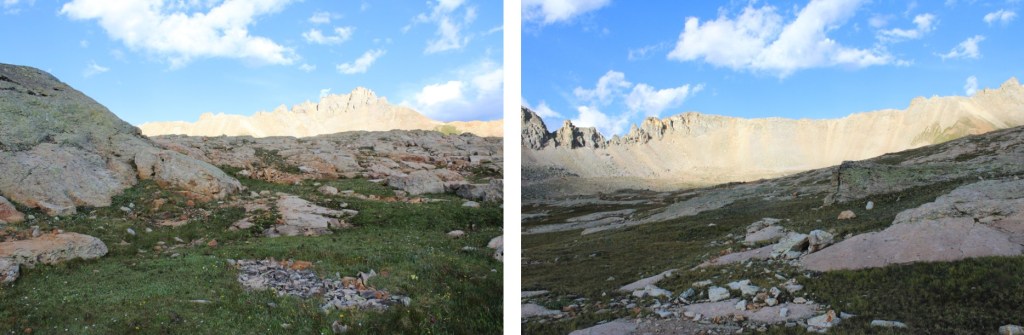
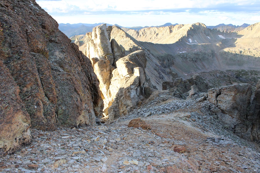
At the top of the gully, I turned right, and followed the scree
I was headed here

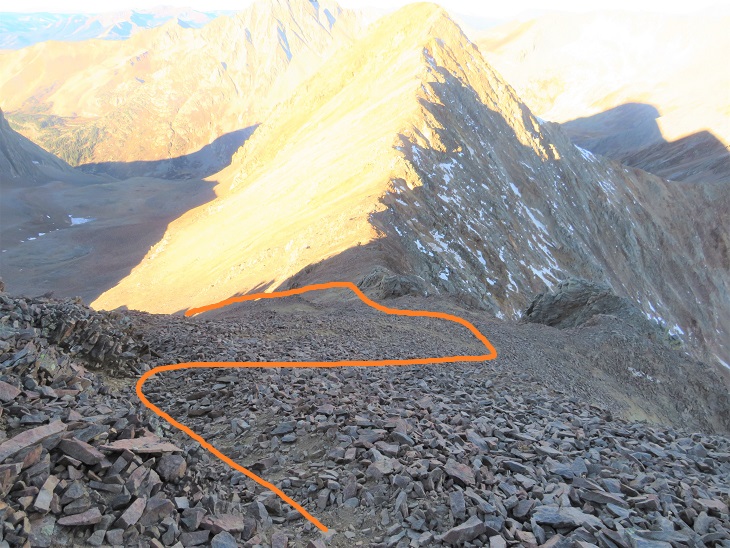
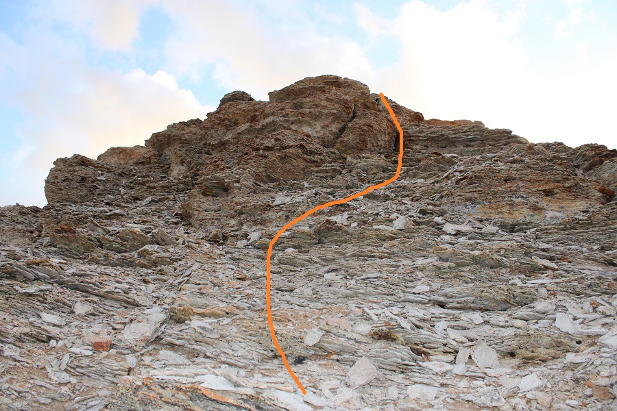
I looked for a weak point to ascend, and found this chimney. I didn’t climb up the chimney, but you certainly could
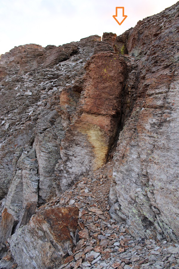
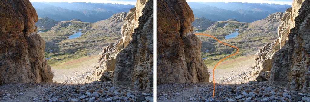
Instead, to the right of the chimney I found a narrow ledge. Yay! Being short is finally working out for me when it comes to scrambling! I climbed up to the right of the chimney, they traversed left to the ridge.

The ridge was short but full of kitty litter and talus. It never got worse than easy class 3, but it was loose.

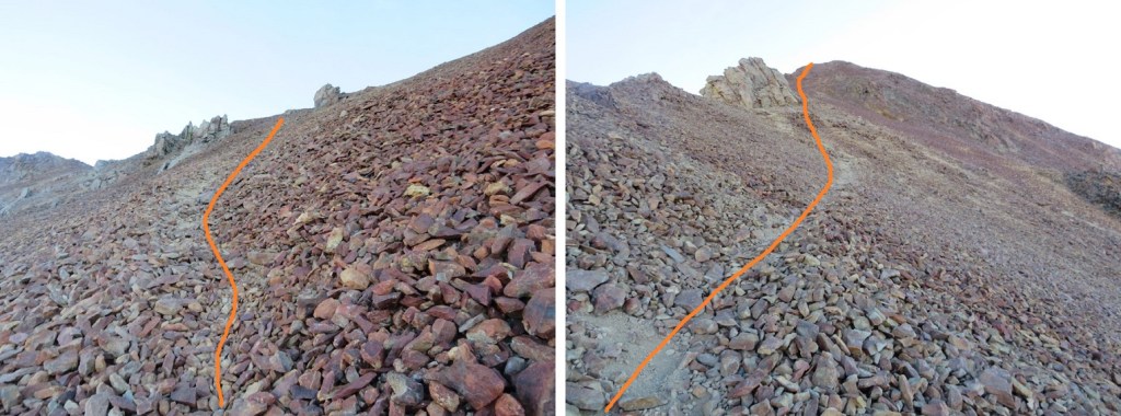
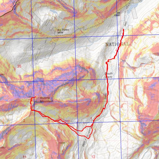
This is the overall route I took to the summit
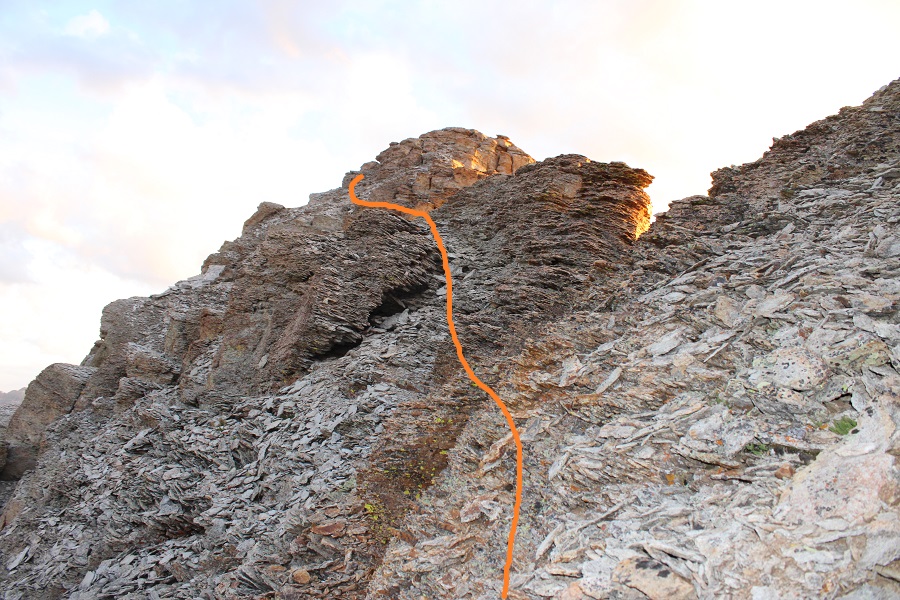
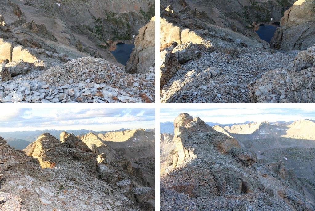
And some step-by-step pictures
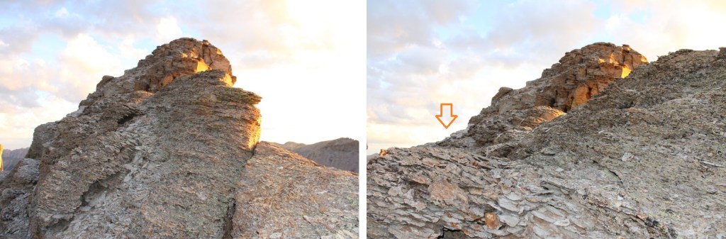

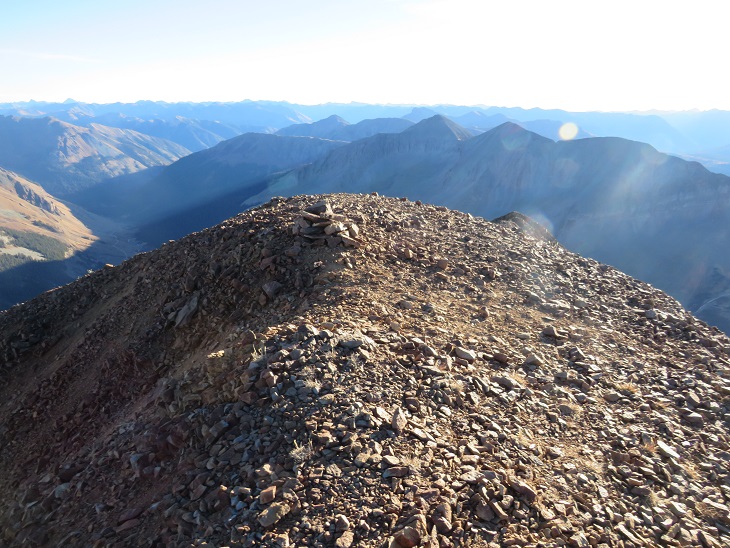
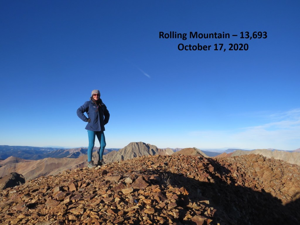
I summited Three Needles at 6:45am
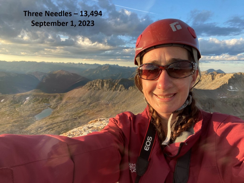
Three Needles:
I had cell service, so I checked the weather, and even though I could see dark clouds and virga in the moonlight this morning, it looked like the weather had been pushed back until later in the day. So I decided to sit on the summit for a bit, and enjoy the cell service and sunrise.
This was an out and back hike for me, so I retraced my steps to the access gully
Once again, I did not descend the chimney, but ducked under a rock ledge to the left, then headed down
At the bottom of the chimney I turned left, and headed back to the access gully
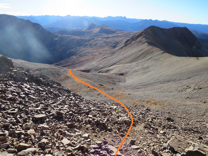
From the top of the gully, I could see my route out of the basin
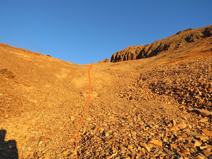
The gully was much easier to navigate heading down, but still very loose.
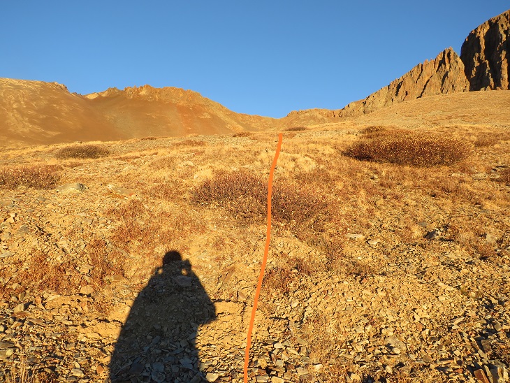
Now to make my way back to Bullion King Lake

And pick up the trail on the other side that lead me back to the 4WD road
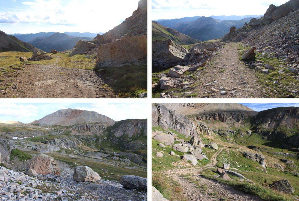
Back at the upper trailhead, I followed the 4WD road back to Red Mountain Pass

I made it back to Red Mountain Pass at 9am, making this an 8.82 mile hike with 2420’ of elevation gain in 4.5 hours.