RT Length: 8.32 miles
Elevation Gain: 2188’
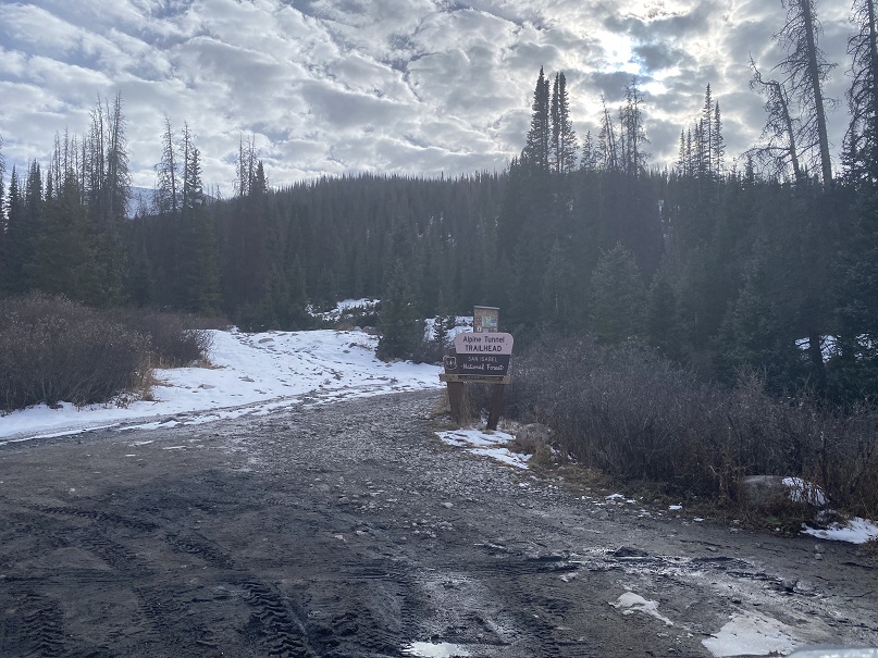
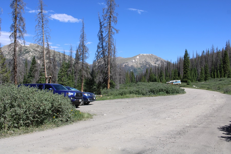
I drove up to Hancock Ghost Town outside of St. Elmo and parked my truck in the dark. The road was better than I remembered it: Dirt 2WD with some clearance needed. It was just before the Alpine Tunnel Trailhead. If you have a high-clearance 4WD vehicle you’re ok trashing, you can drive it all the way to the Upper Hancock Lake Trailhead.
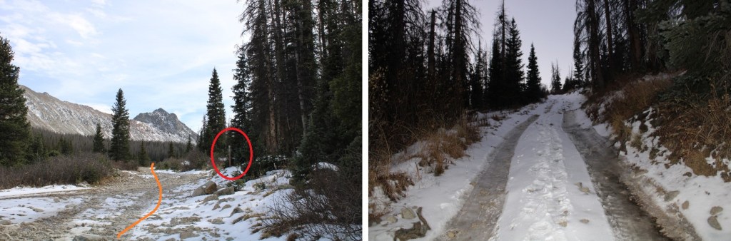
I was on the road at 5:30am, following the road south, crossing a bridge, and then turning left onto 4WD road 295.
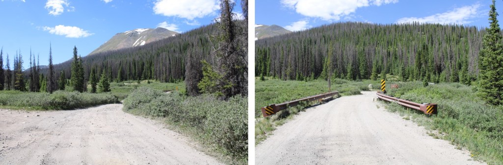
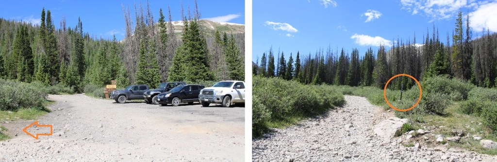
I followed 295 south for 1.75 miles, where it ended at the Upper Hancock Lake Trailhead
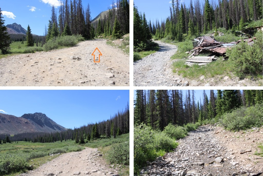
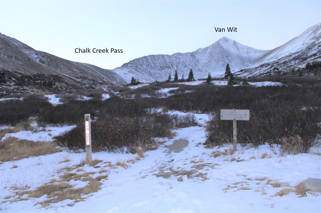
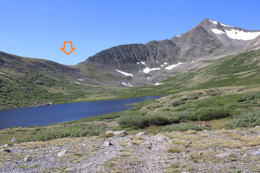
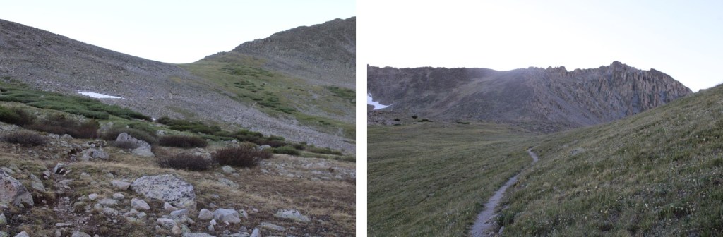
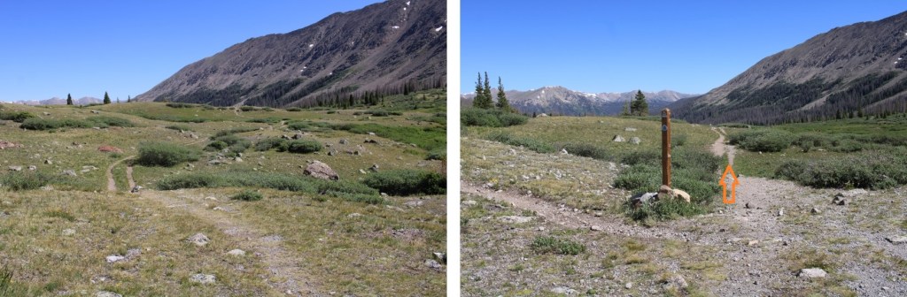
At the Upper Hancock Lake Trailhead there was an obvious trail at the south end of the lot. I continued following it south, and it eventually crossed and became the Colorado Trail/CDT
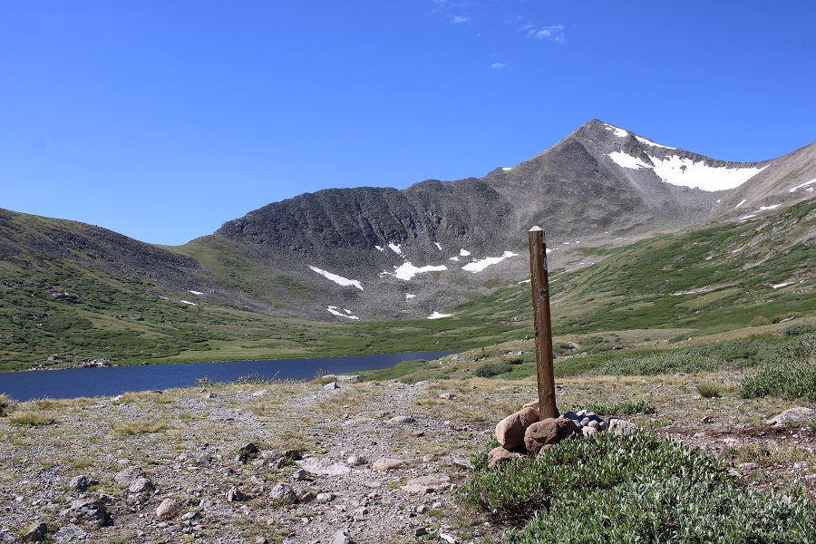
On this trail I skirted the west side of Hancock Lake, and the east side of Upper Hancock Lake. This was an easy to follow, class 1 trail. I was headed to Chalk Creek Pass.
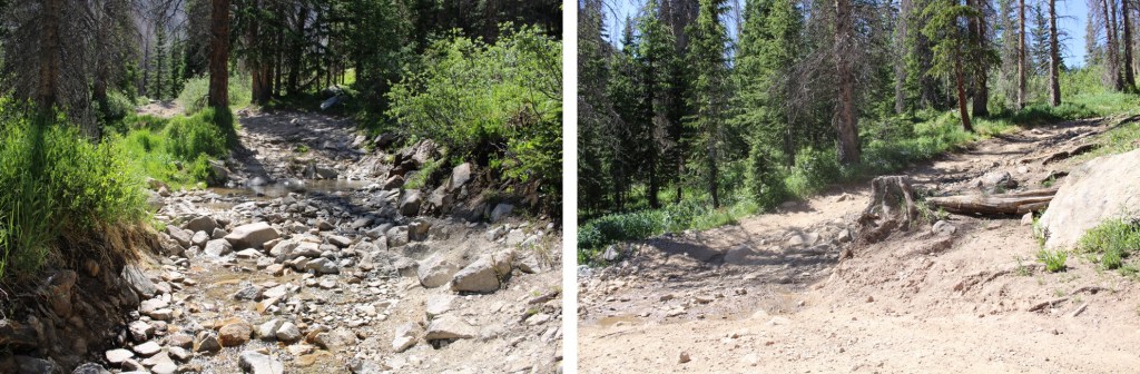
The trail was wet and muddy, but luckily the water wasn’t too deep.
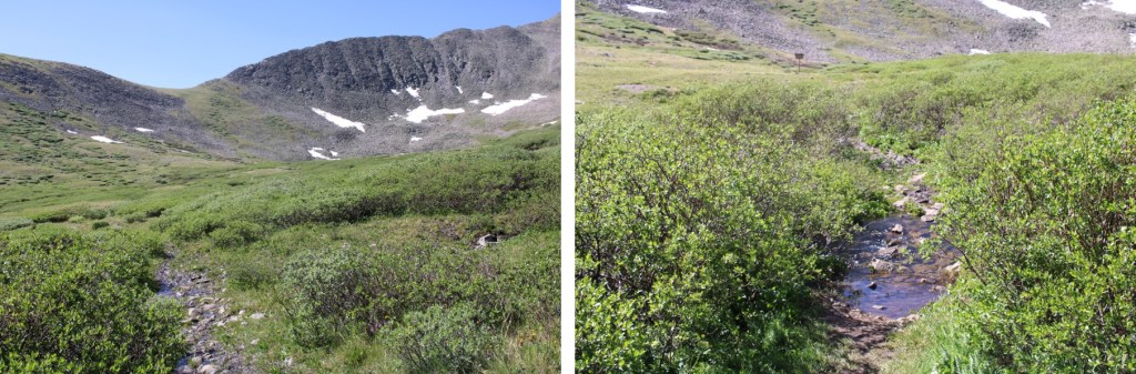
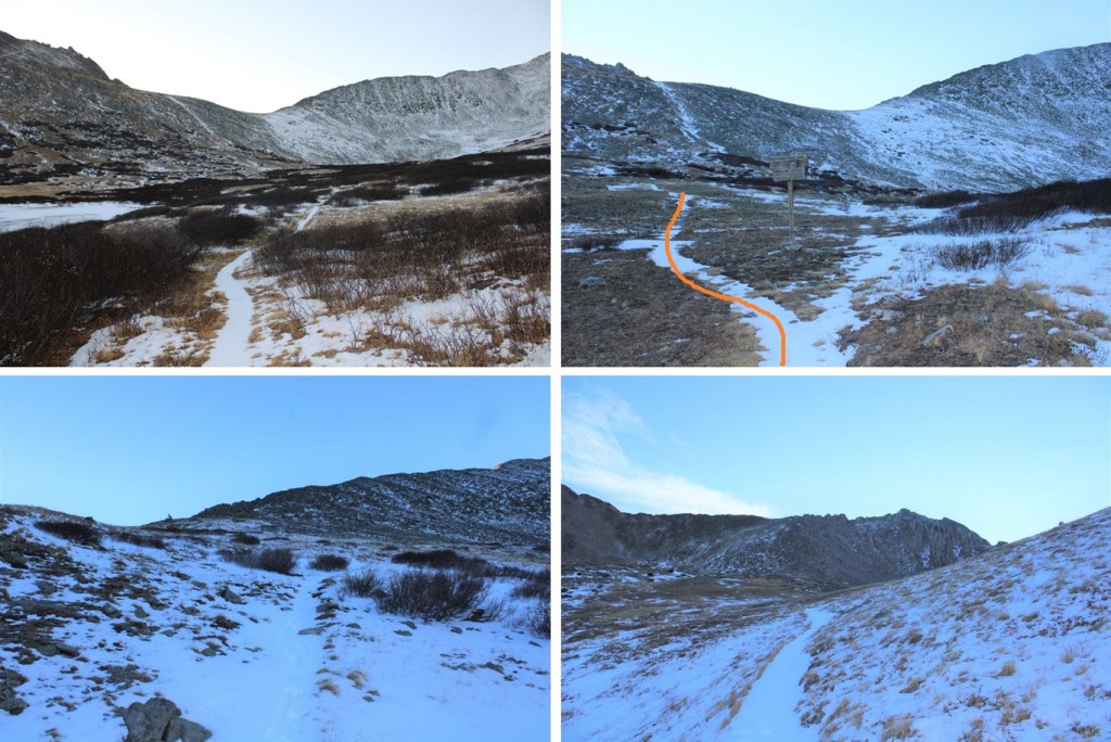
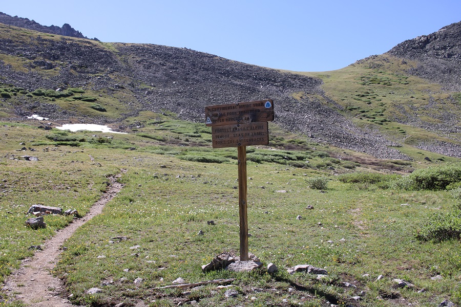
At this sign I went left, and followed the trail as it switchbacked up Chalk Creek Pass
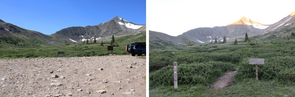
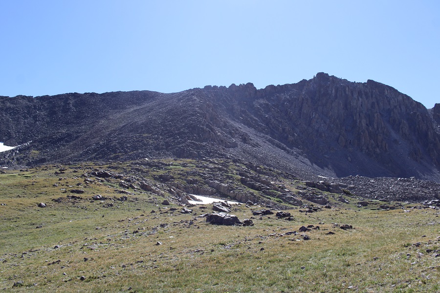
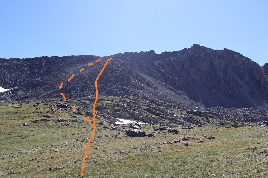
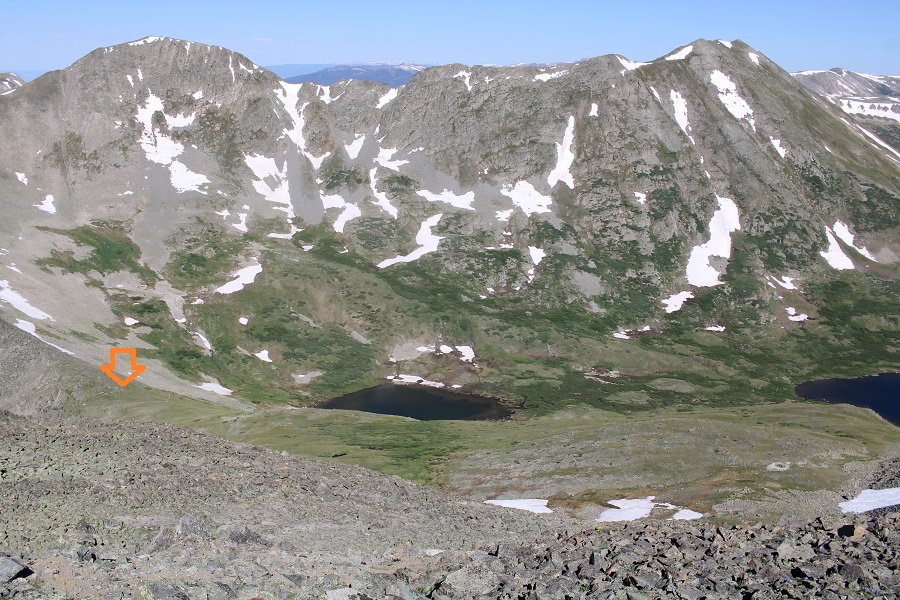
At the top of the pass, I left the trail and headed east. It was my goal to gain the ridge.
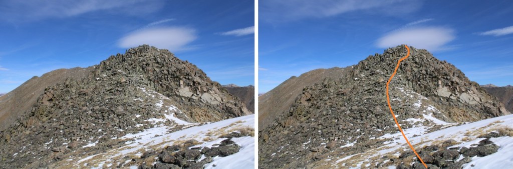
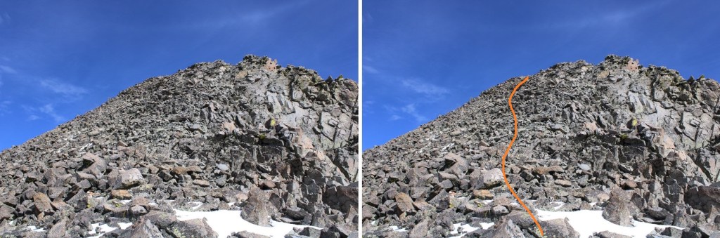
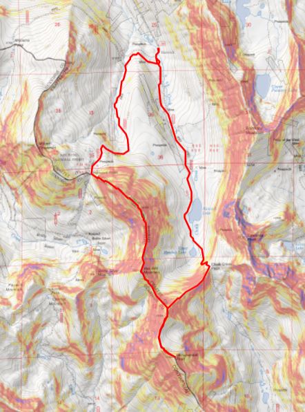
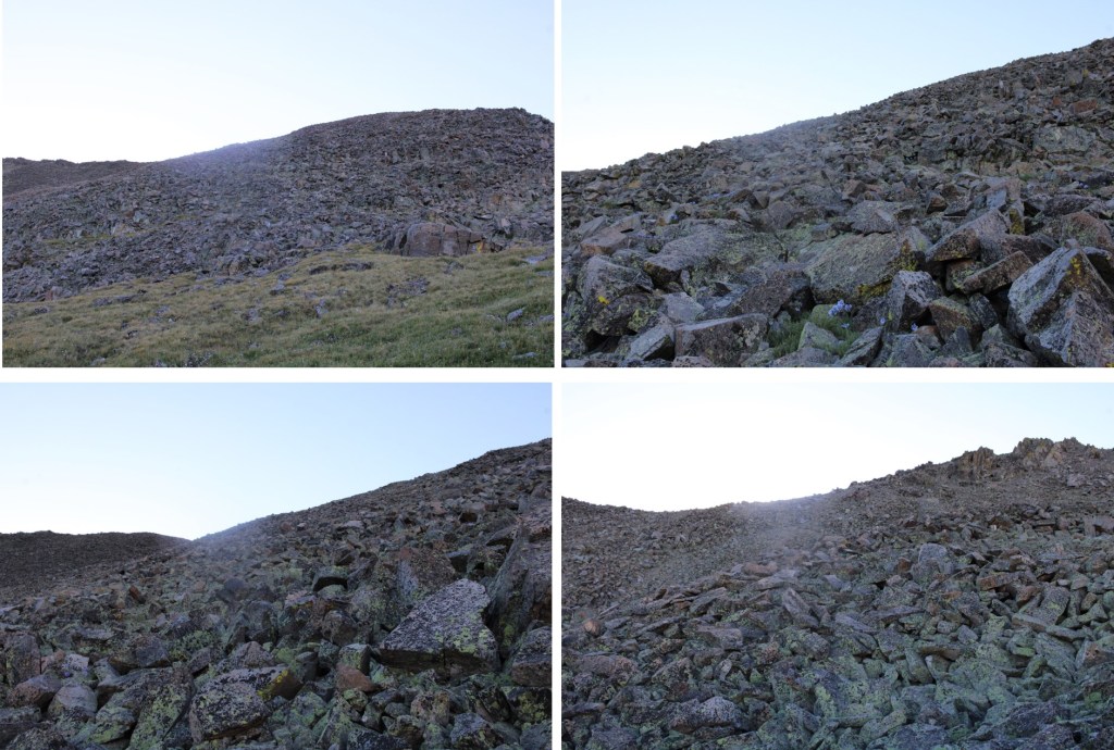
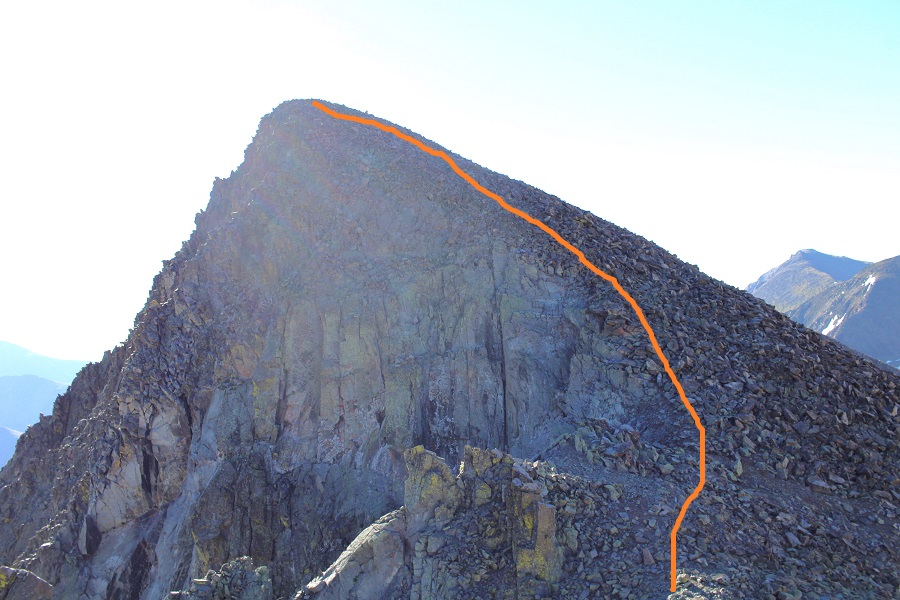
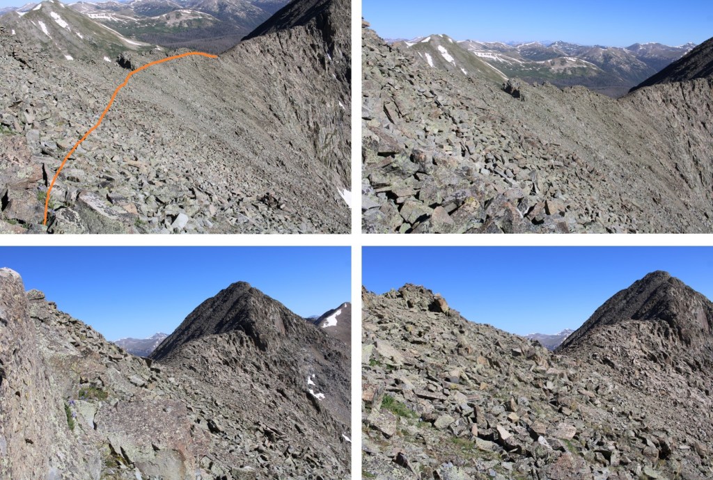
There are a ton of ways to gain the ridge. I took a different way up than I did down. Word of caution: the terrain is rocky and loose. Don’t trust any rock, even the large ones, as they roll. Here are the routes I took, solid line up, dotted line down (but it’s really choose your own adventure). This is how I would recommend ascending and descending.
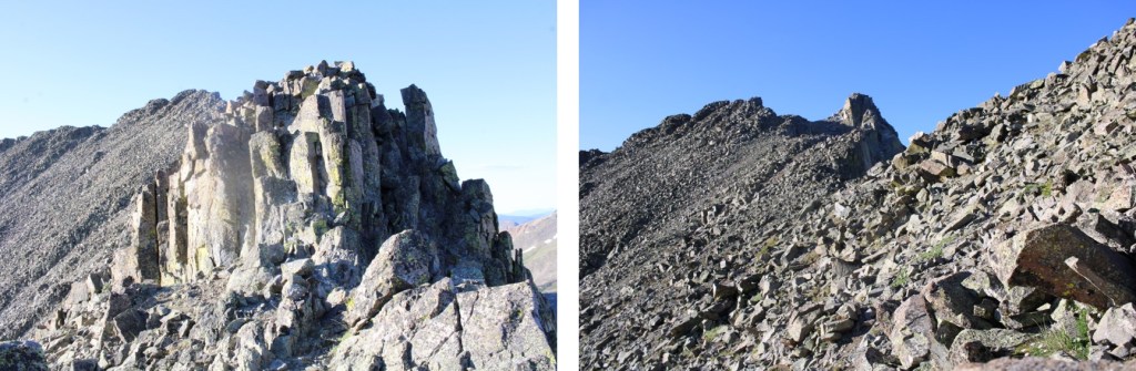
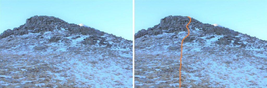
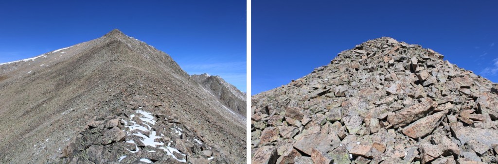
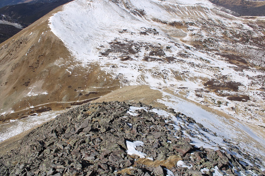
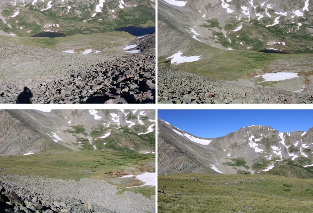
Here are some pictures of the route up. Oh, and there were quite a few spiders/spiderwebs here. The spiders had bodies about as thick as a nickel, and I probably saw 200 of them or more. My trekking pole was useful in clearing away the spiderwebs.
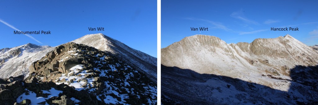
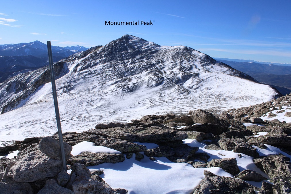
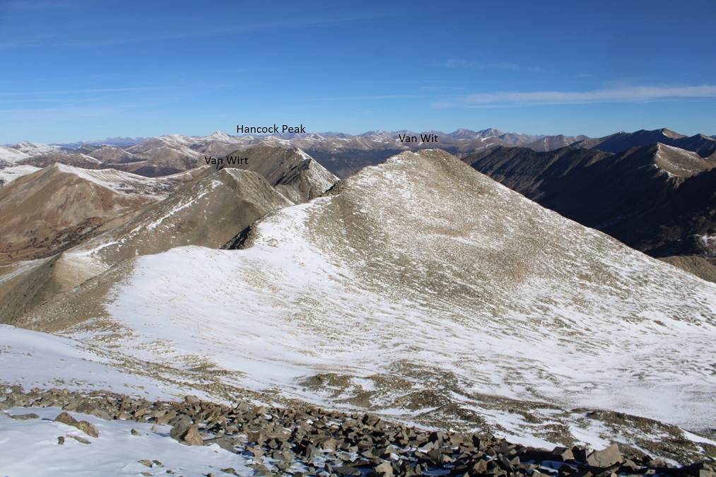
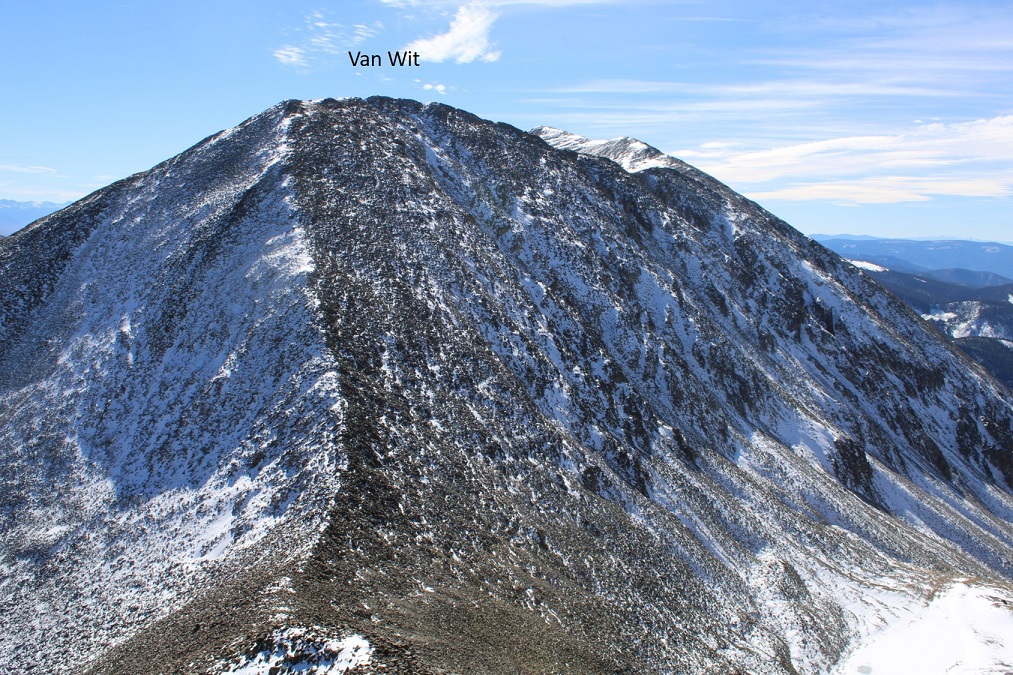
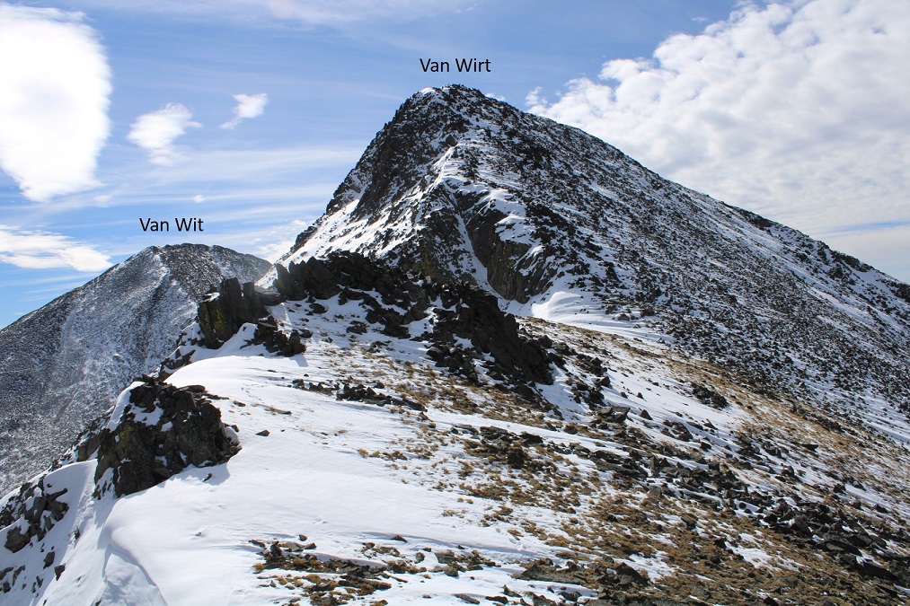
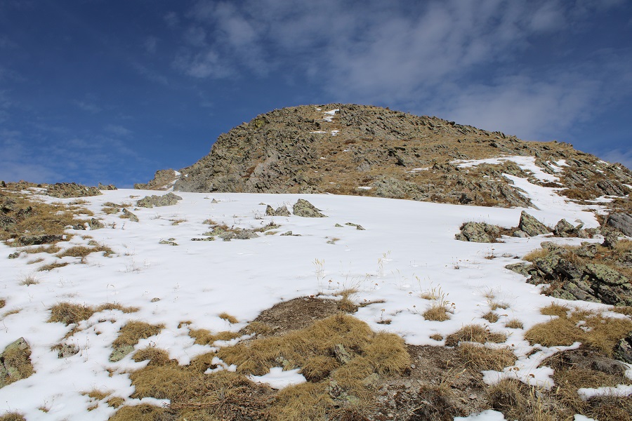
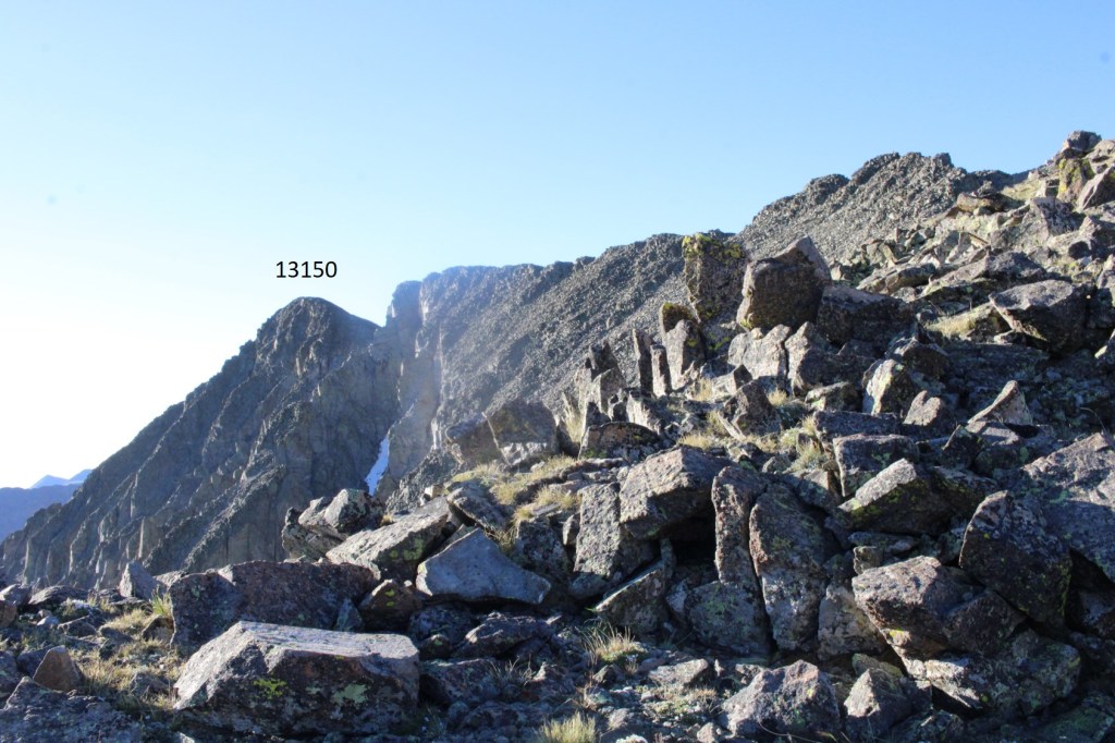
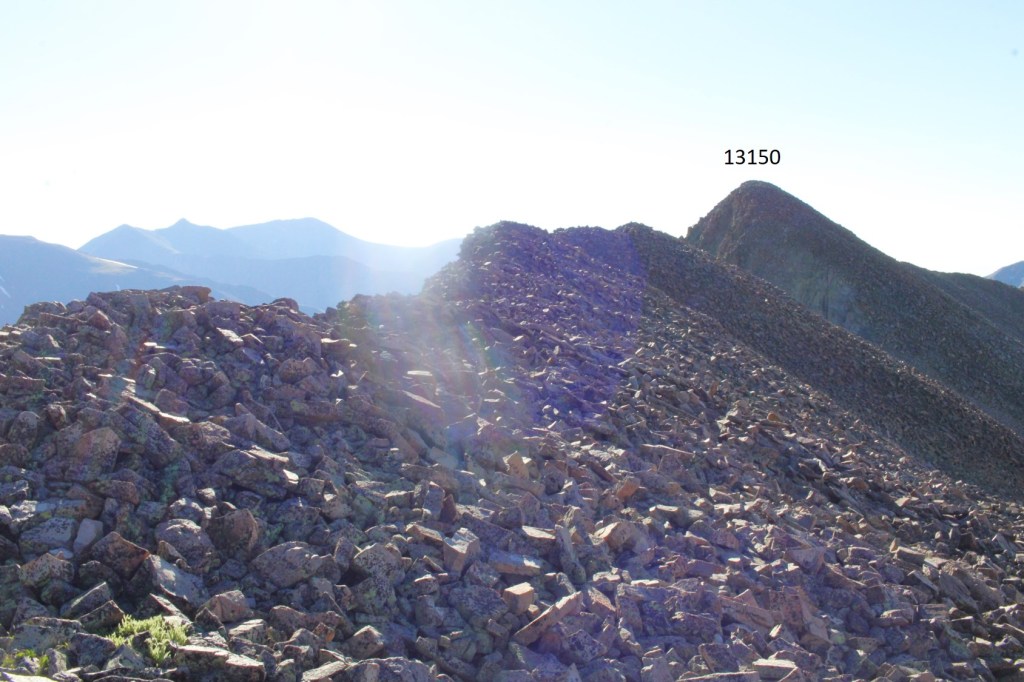
Once I gained the ridge, I turned right and looked southeast, and I could see the summit of PT 13150
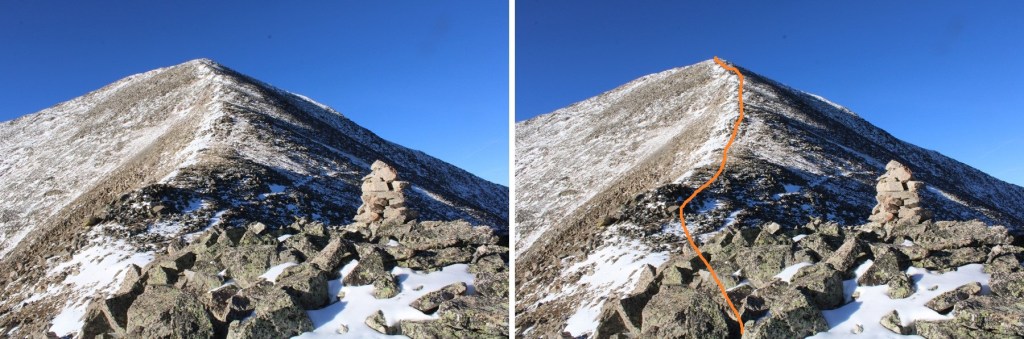
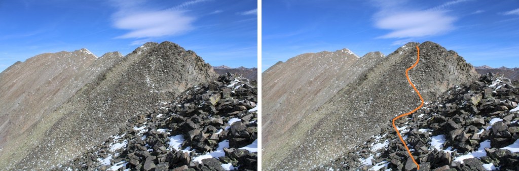
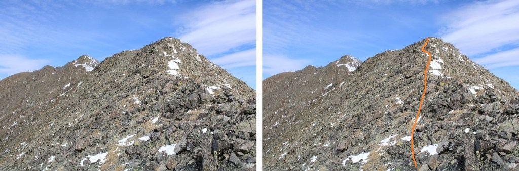
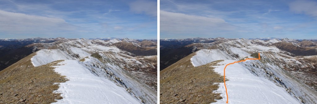
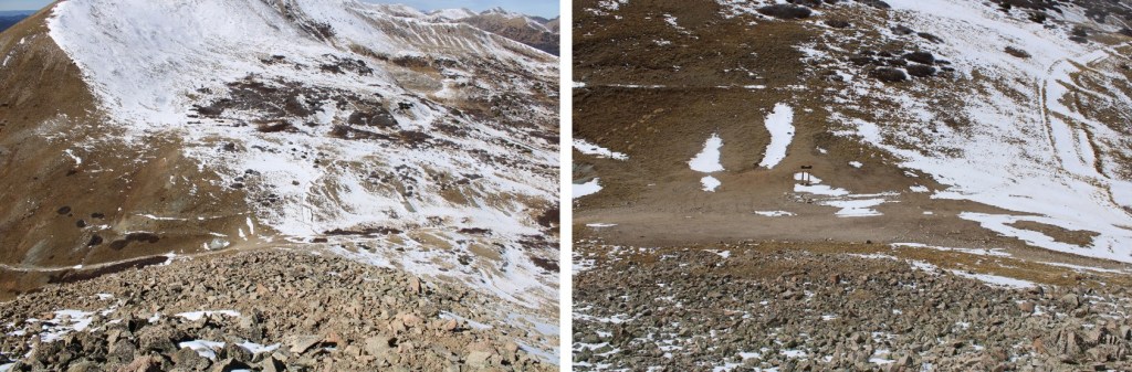
I made this a ridge hike, and was able to keep it class 3, but on the way back I was able to keep the hike class 2, so that’s the description I’m going to give you. Instead of taking the ridge, this is the route you want to take, staying level at about 12975’ of elevation:
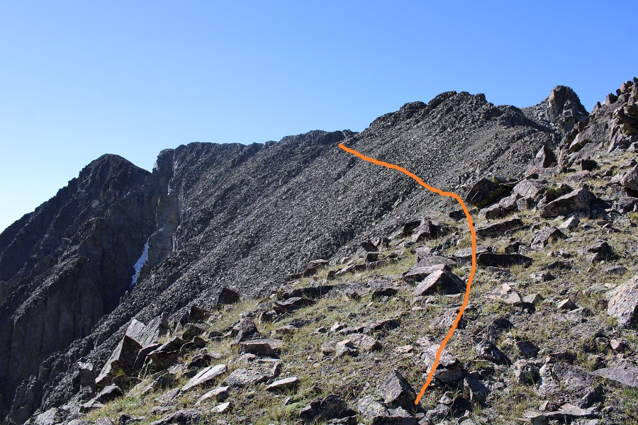
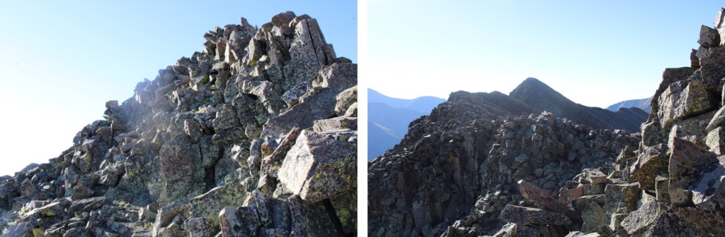
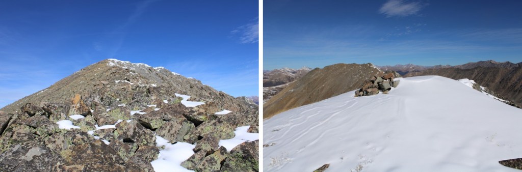
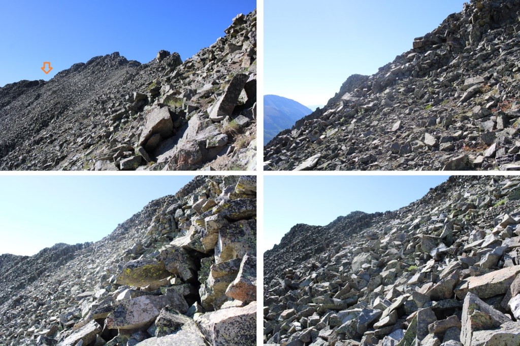
Here are some pictures of the route
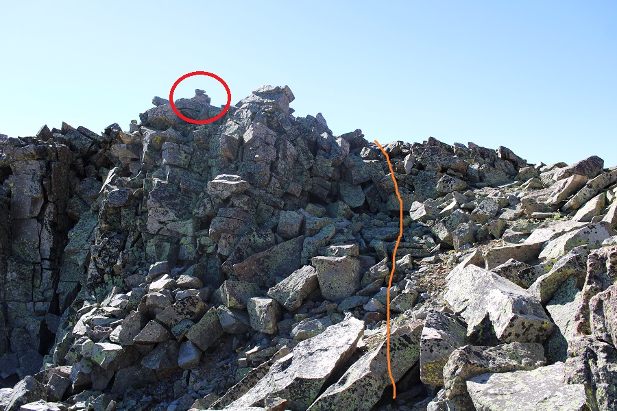
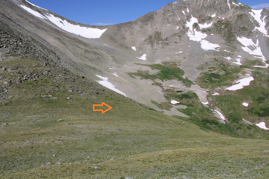
You’re looking for this gully to ascend on the ridge. There’s a cairn at the top.
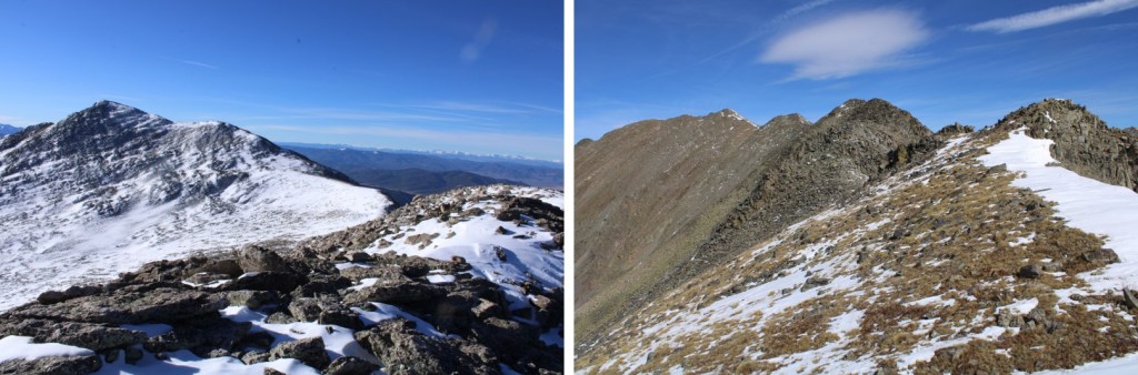
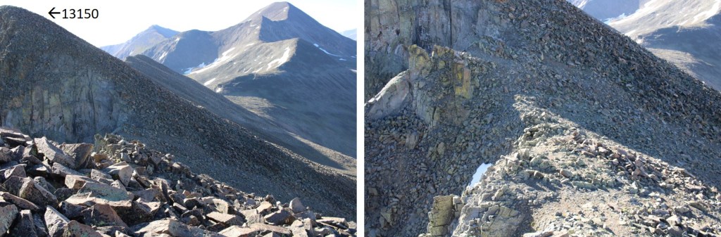
I gained the gully, and looked east. I could see PT 13150
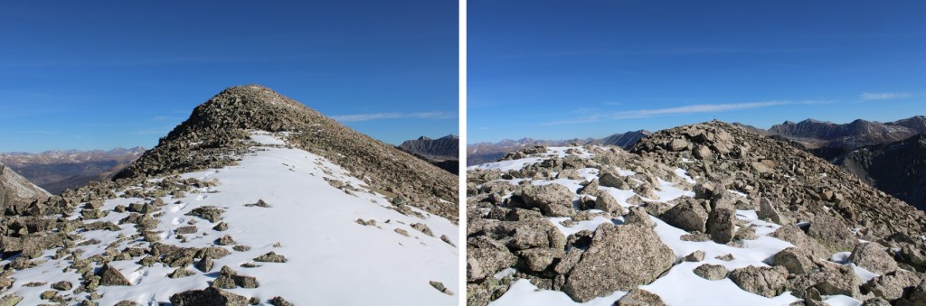
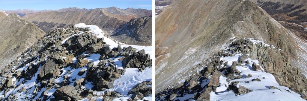
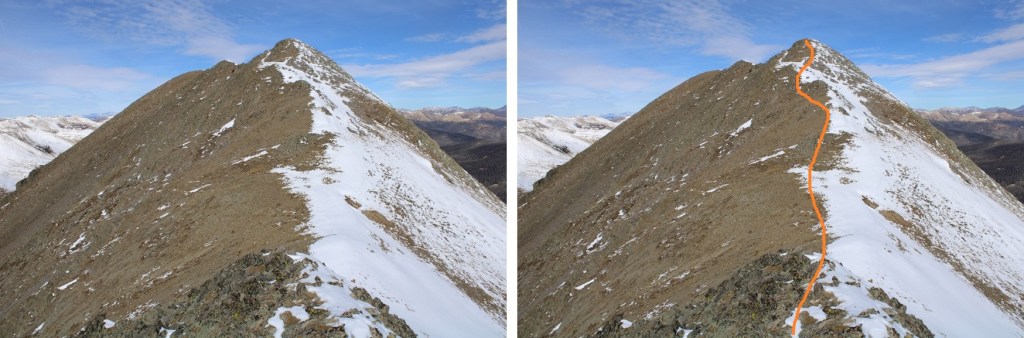
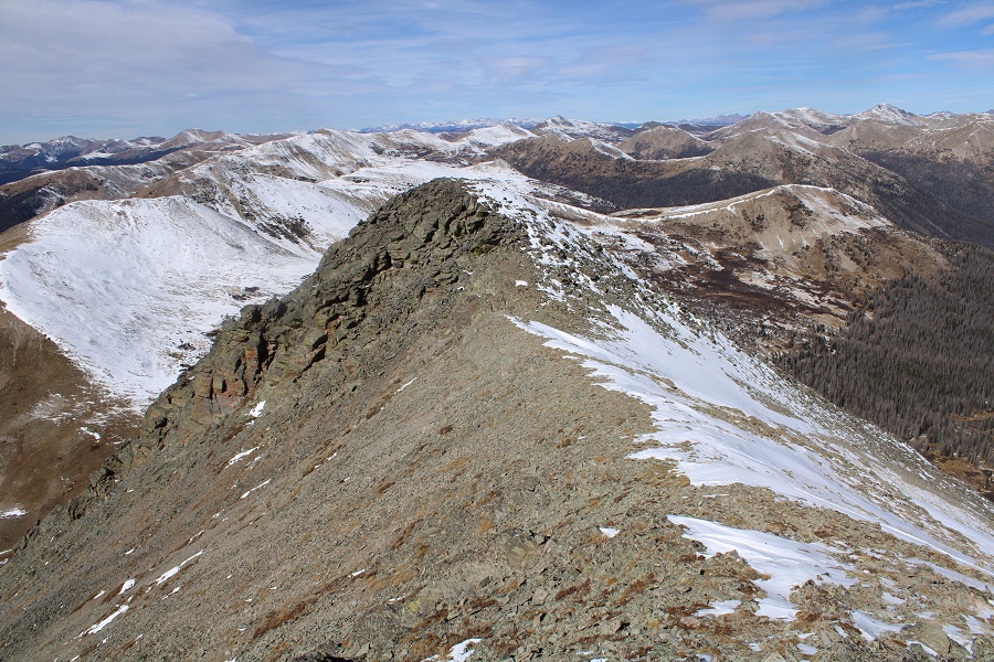
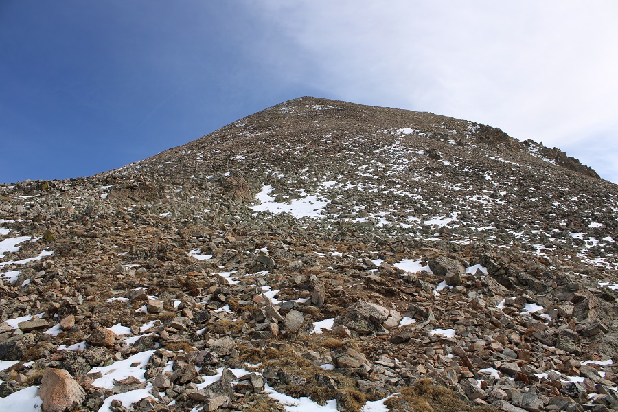
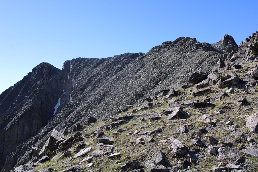
This was an easy ridge hike on very loose rock. I stayed on the ridge.

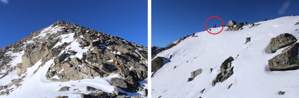
Then the ridge dipped down a bit before the final ascent
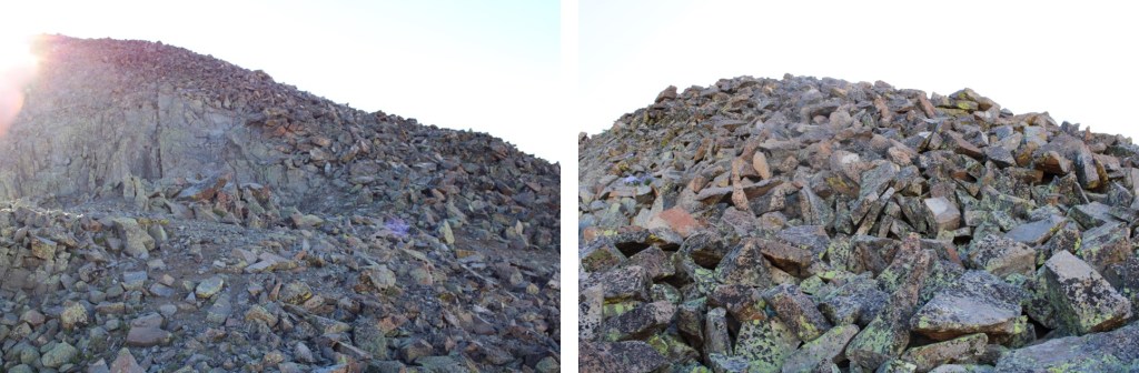
This was once again a loose, rocky ascent

Here’s the route I took
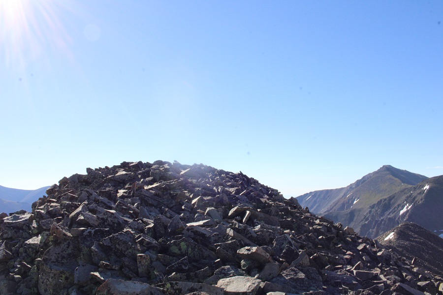
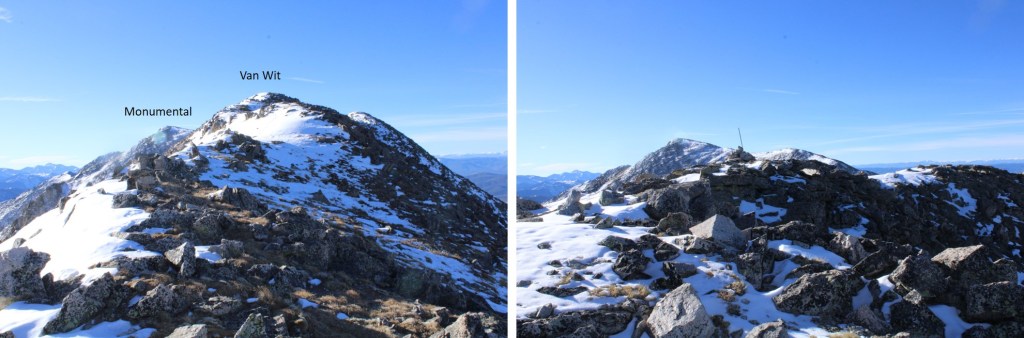
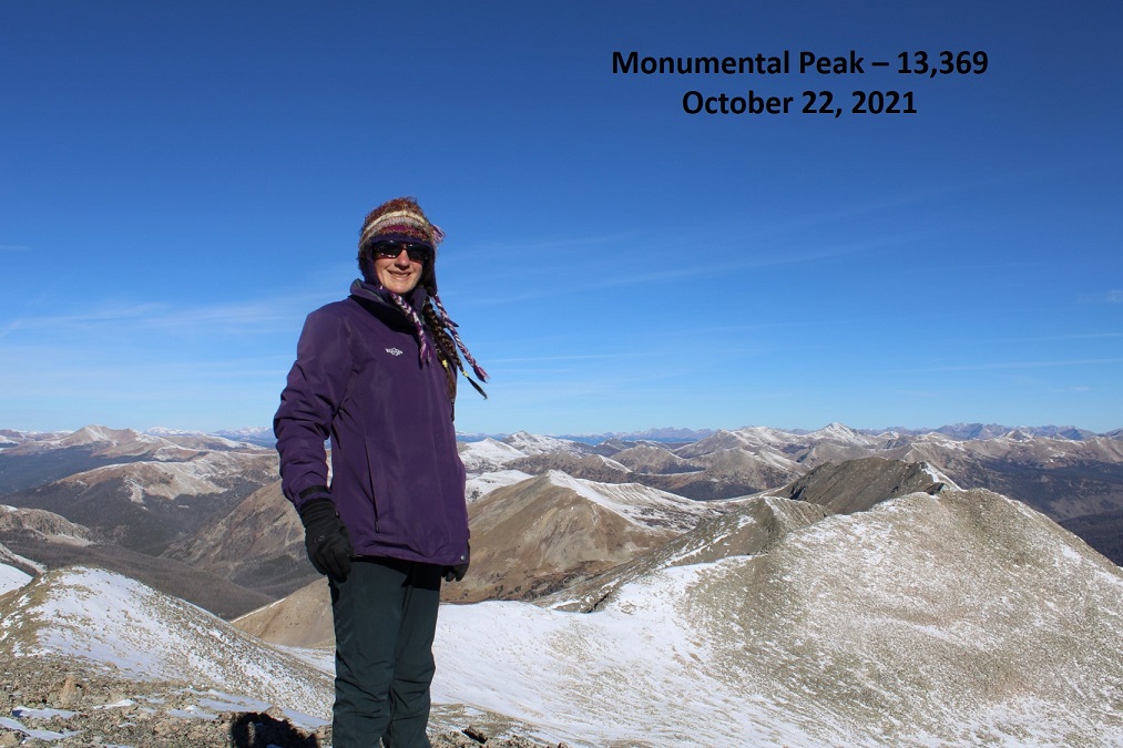
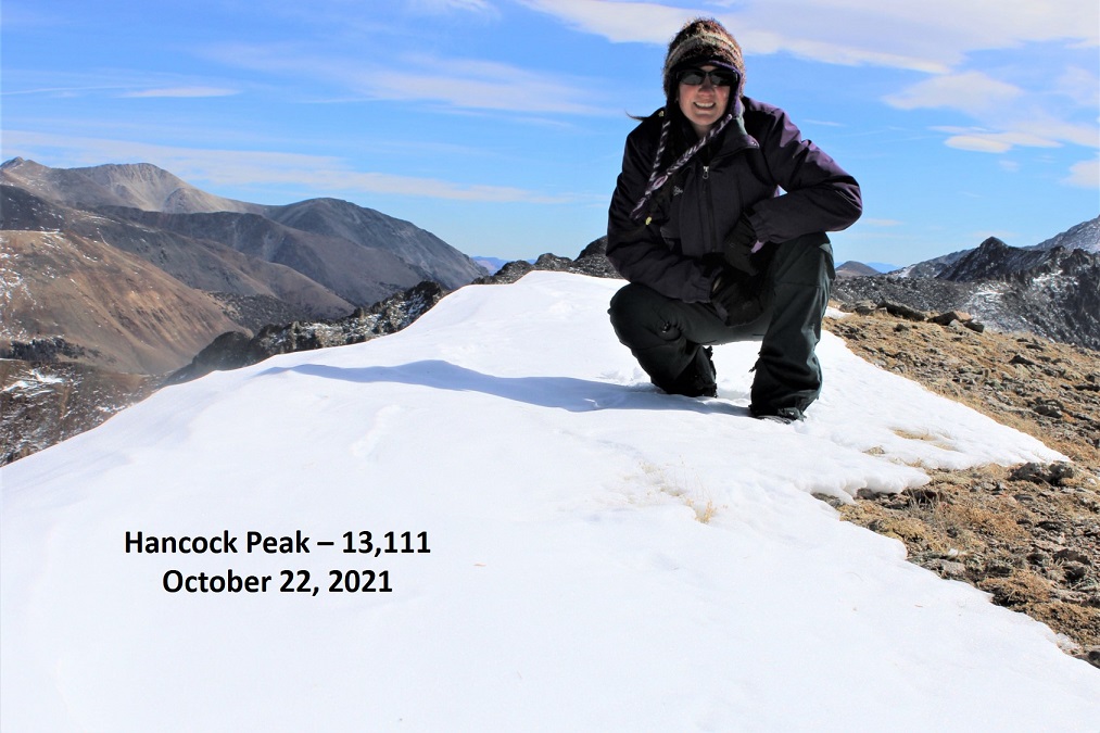
I summited PT 13150 at 8am
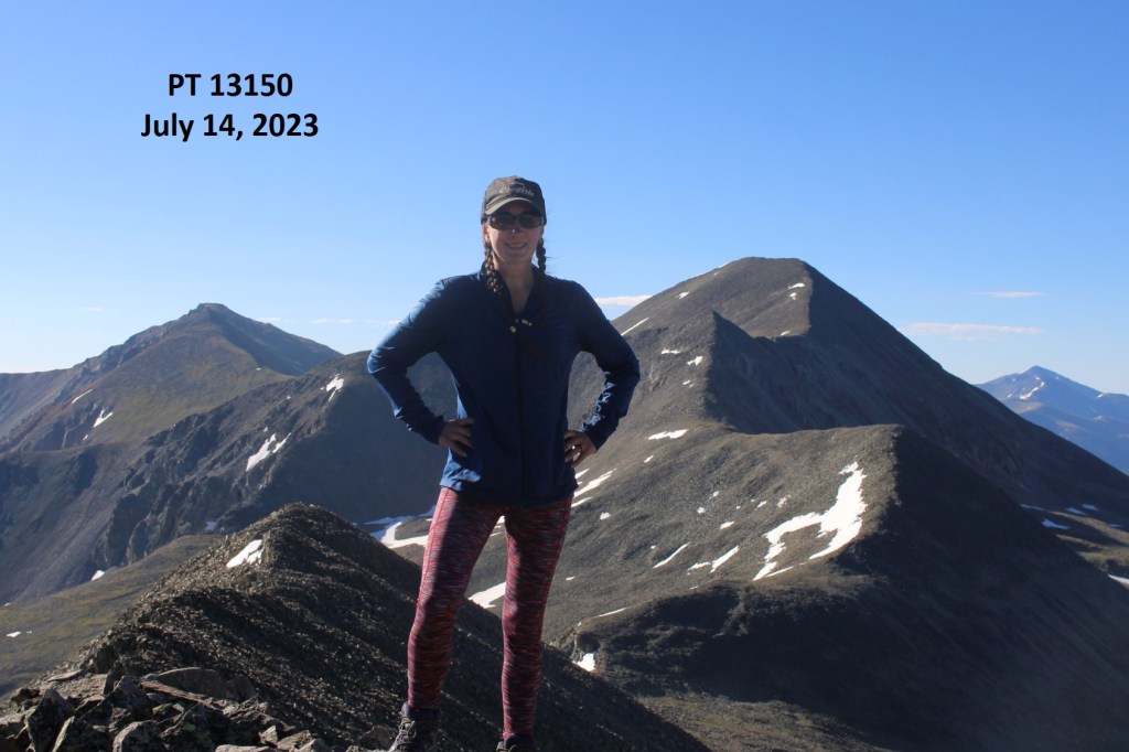
13150:
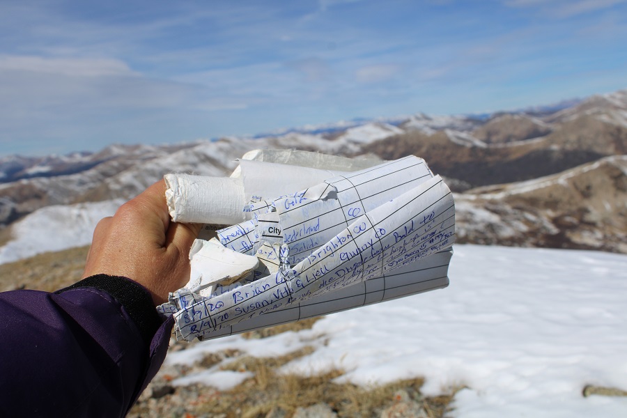
There was a plastic summit register tube, and of course, everything inside was wet. For the descent, I turned and headed back the way I’d come, but this time I descended via a small gully, then stayed level at 12975’ to make it back to the saddle. The arrow in the first picture points to where I descended

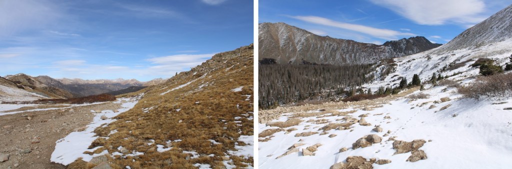
Here are some pictures of the route to the ridge

I then dipped down, and aimed for the saddle

Here are pictures of my route back to the saddle
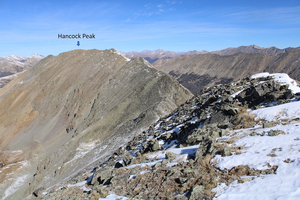
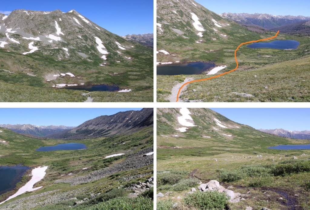
At the saddle, I turned left and headed east back down into the basin. I could clearly see the Colorado Trail/CDT below
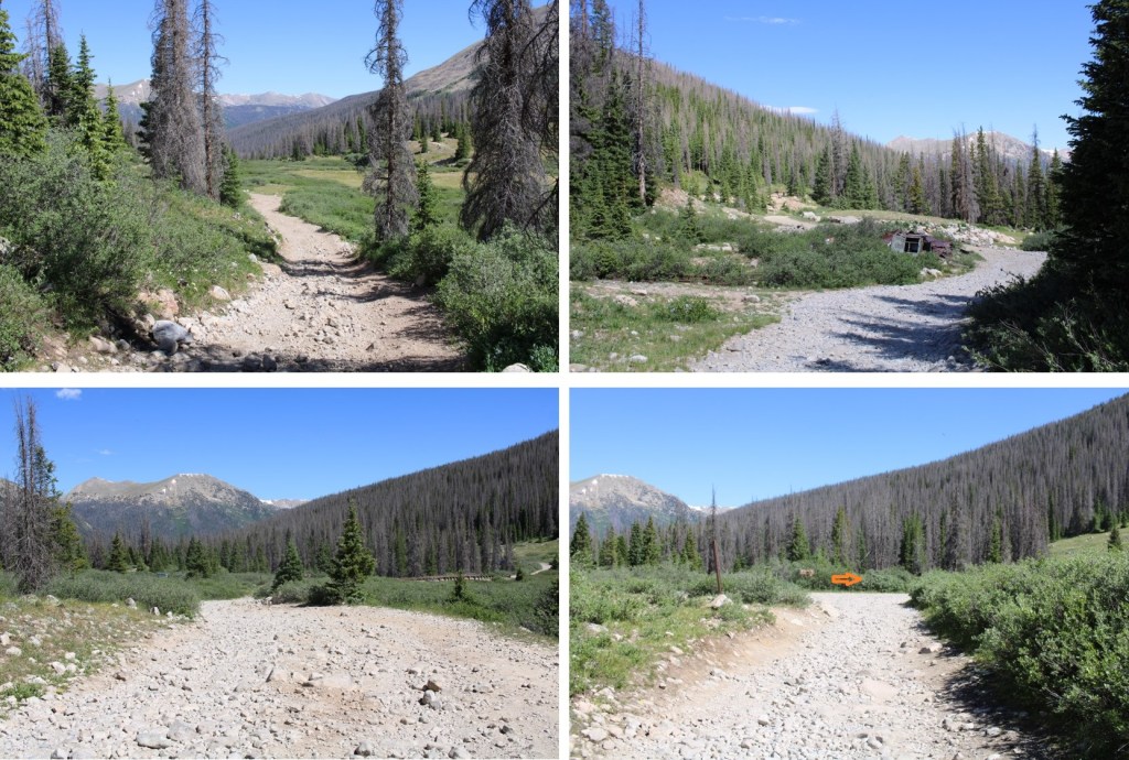
Back on the trail, I followed it back to Hancock Lakes
And left the Colorado Trail/CDT to head back to 295
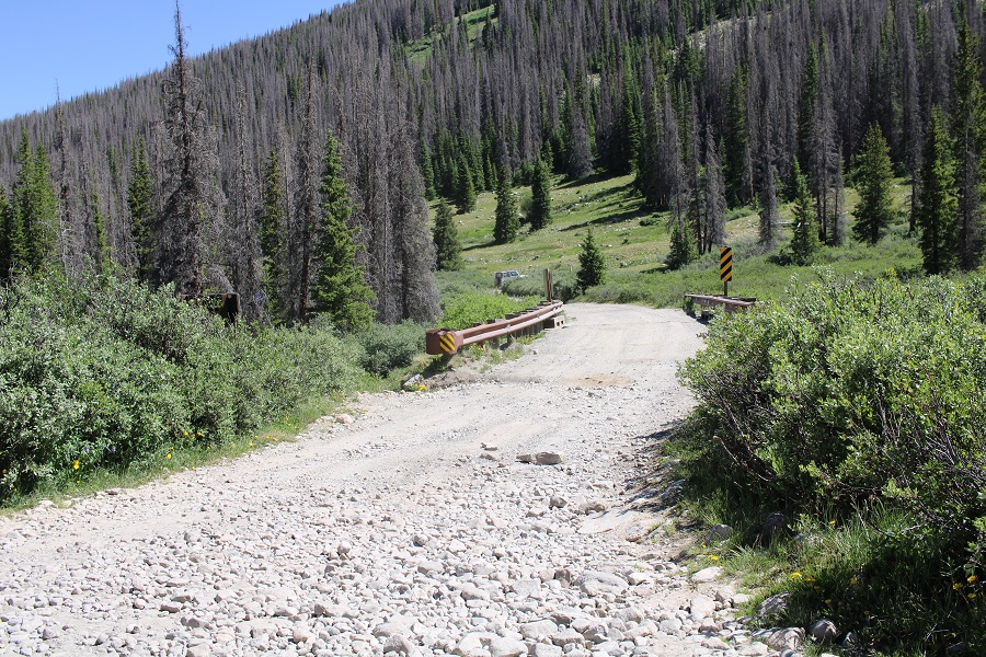
The 4WD road back

I made it back to my truck at 10:30am, making this an 8.32 mile hike with 2188’ of elevation gain in 5 hours.

On to the next trailhead!
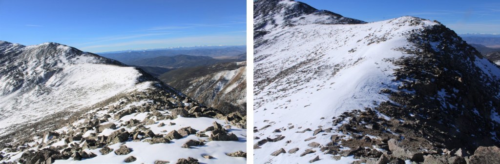
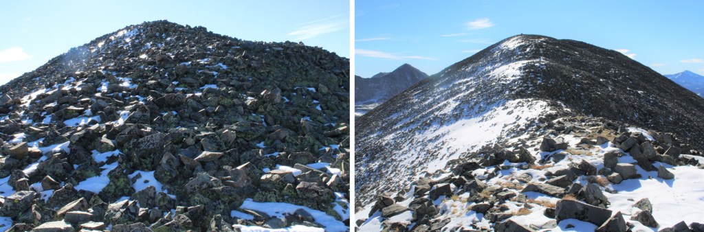
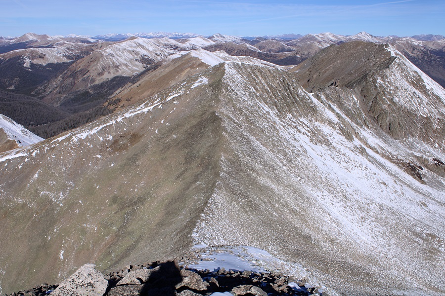
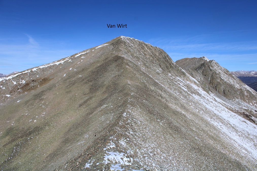
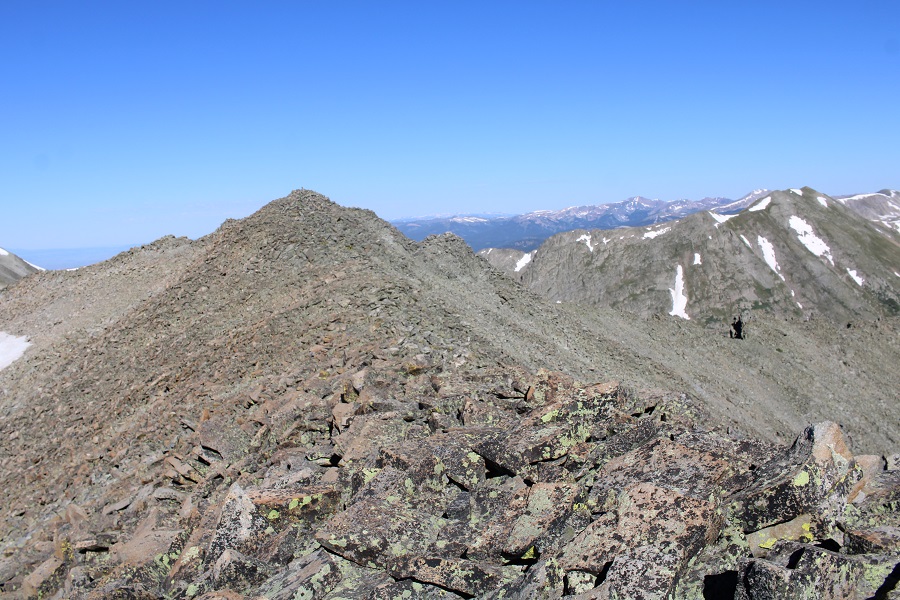
For anyone interested, here are a few pictures from the ridge (that you can avoid, if you want)