V9 – 13,244

RT Length: 6.96 miles

Elevation Gain: 2657’

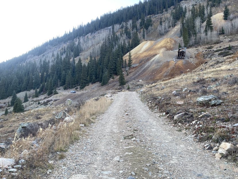
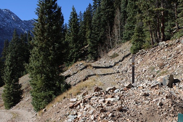
I started this hike from the Bandora Mine site.  There’s room for about 3 or 4 vehicles to park at this trailhead. 

The day before I saw a beaver tail-splash a coyote. Last night I saw that same beaver tail-splash a moose.  This guy means business! 

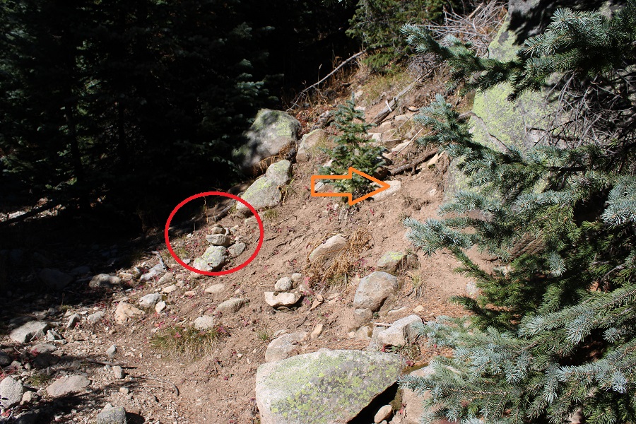
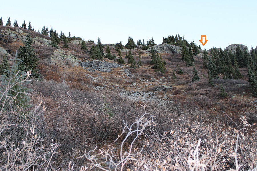
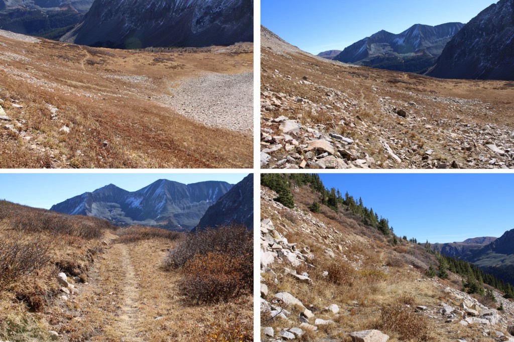
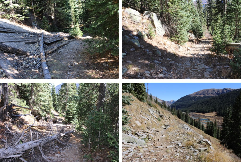
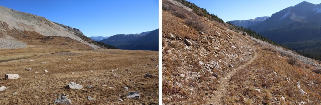
I was on the trail at 6:15am the next morning.  I took the trail to Lake Hope, which started just to the south of the parking area.

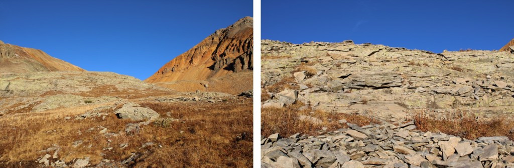
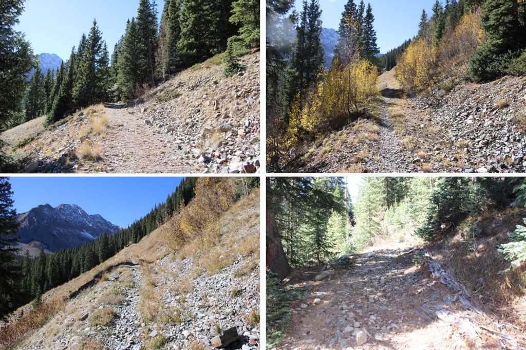
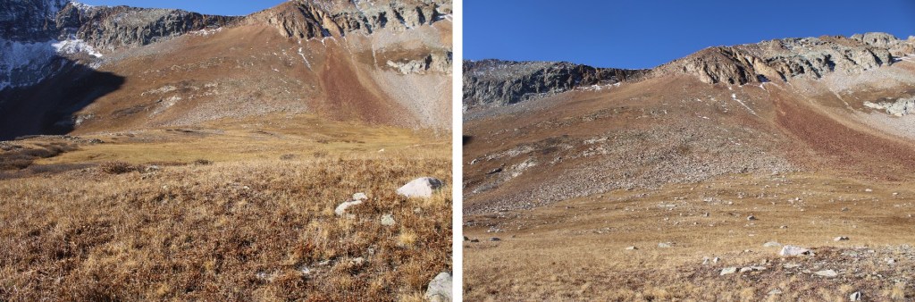
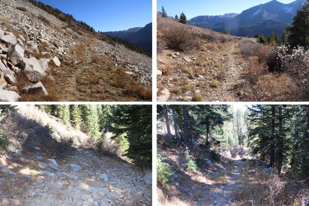
I took this class 1 trail southwest to treeline, which was about 1.75 miles.

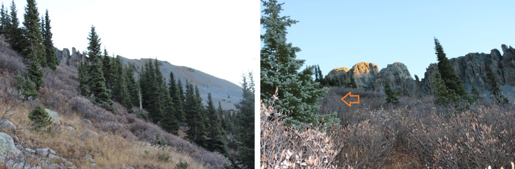
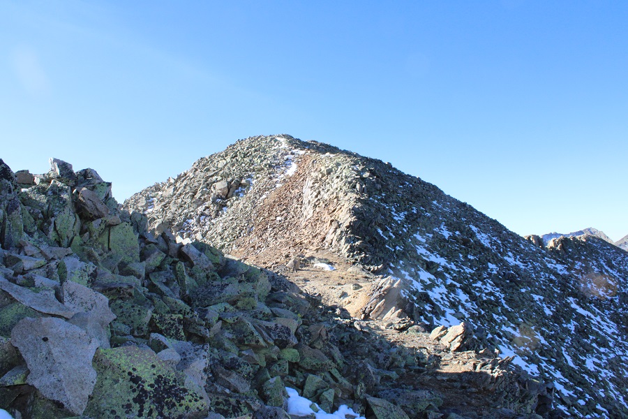
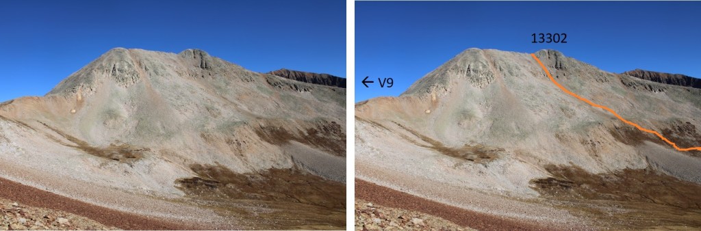
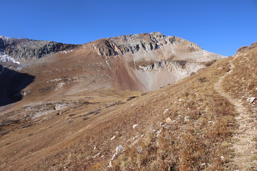
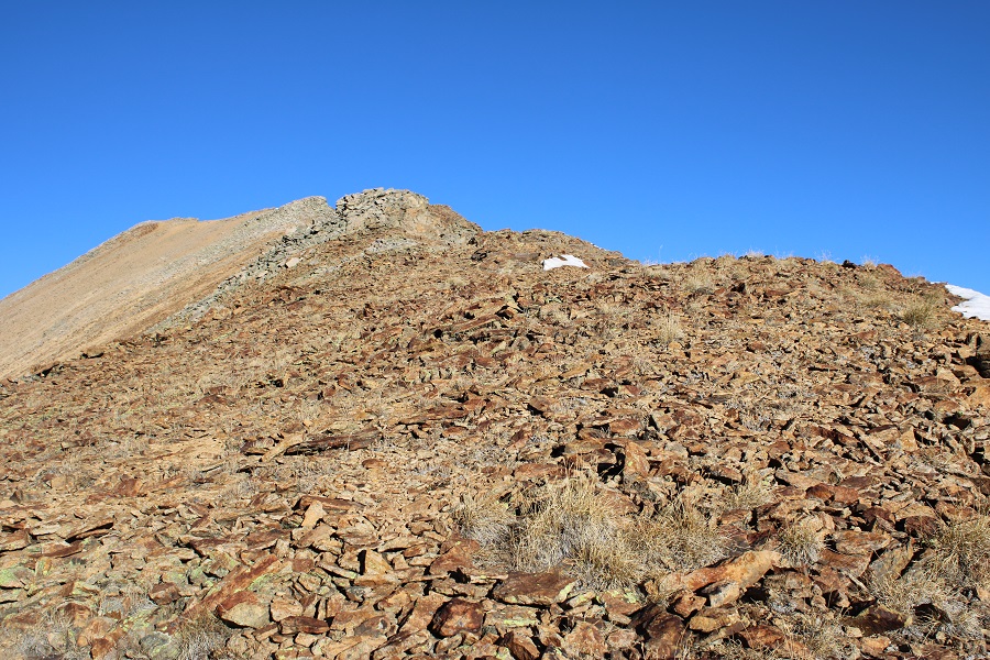
At treeline, I could clearly see V9

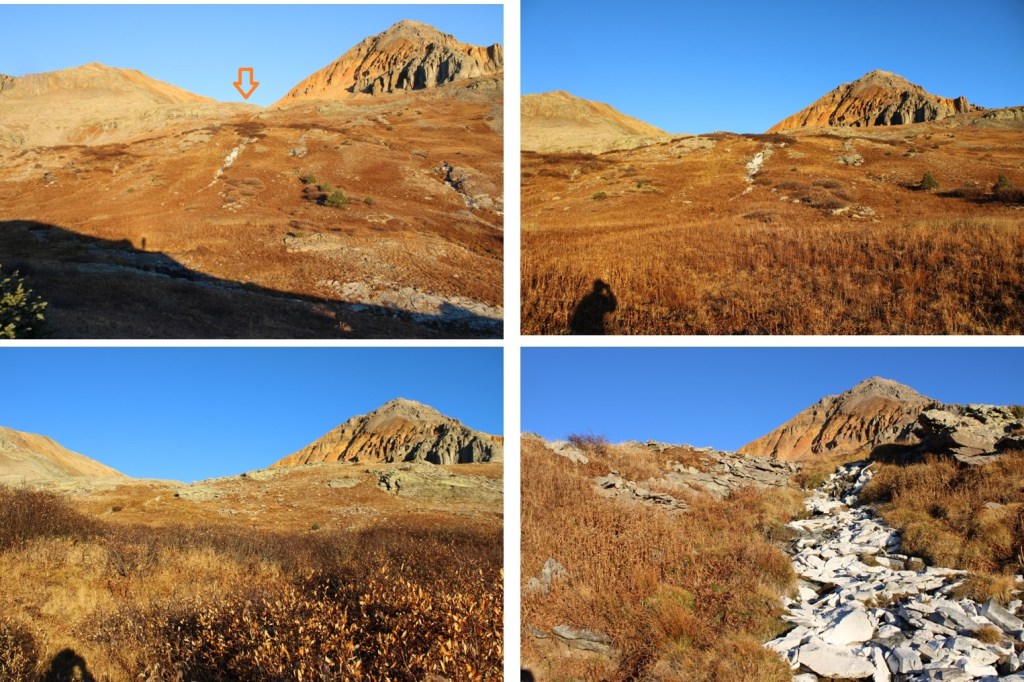
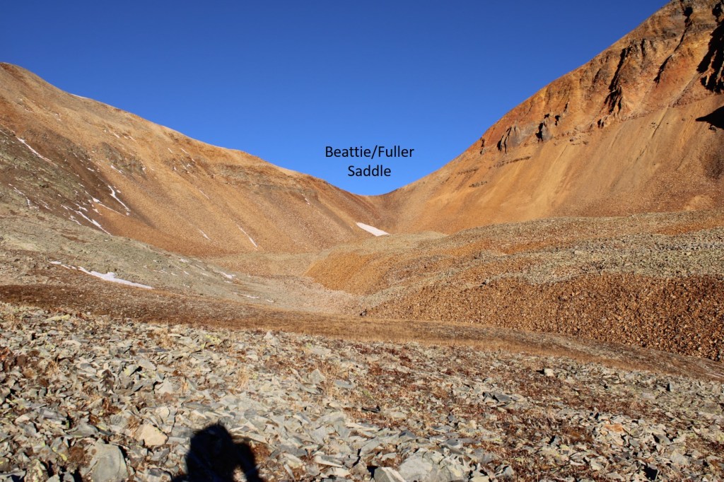
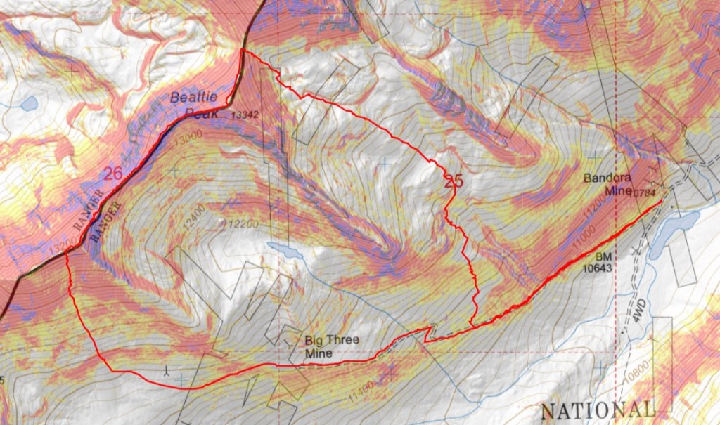
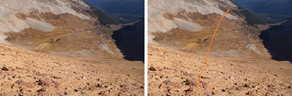
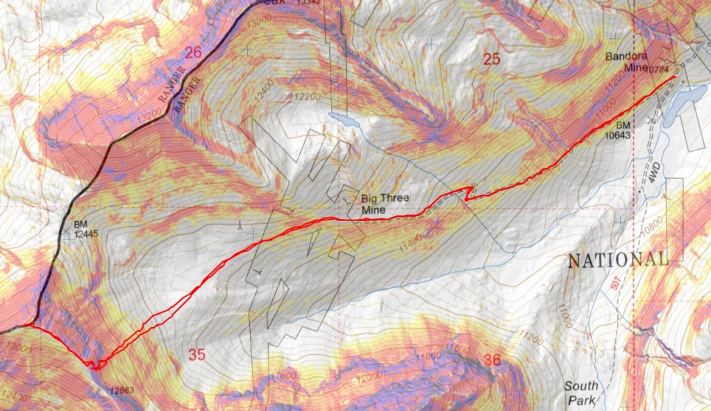
This is the overall route I took to the ridge

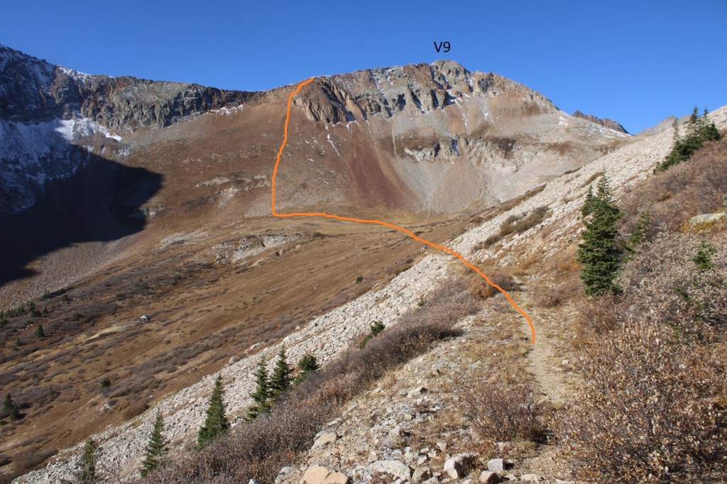
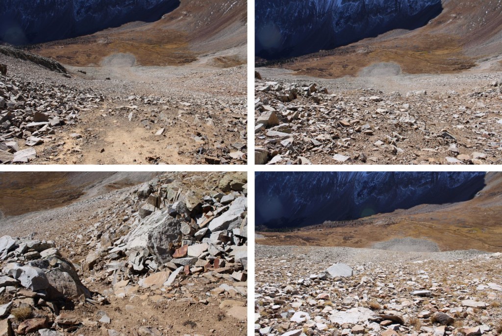
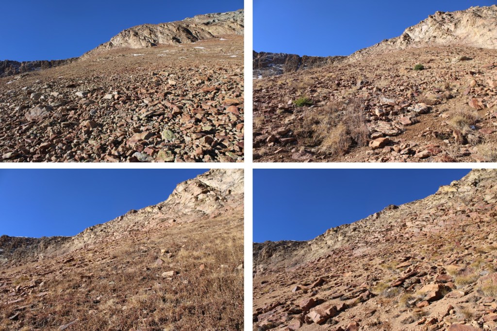
With careful route finding, this can all be kept at class 2+.  First, I headed down the basin to the base of the slope.

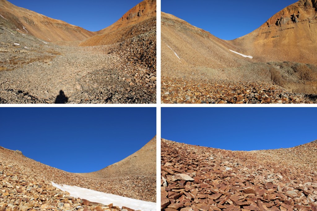
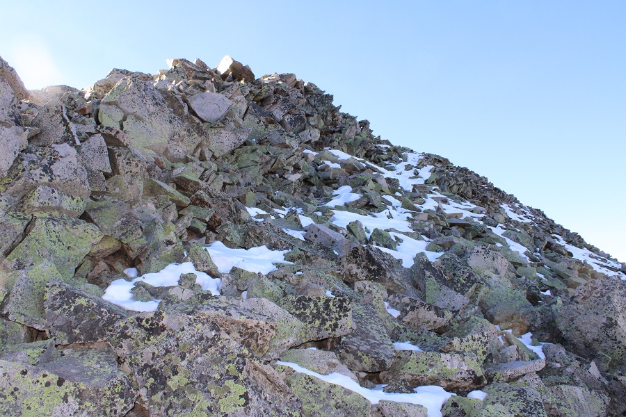
From there it was 730’ of elevation gain up rocky talus to the rocky area just below the ridge.  Microspikes helped for traction.

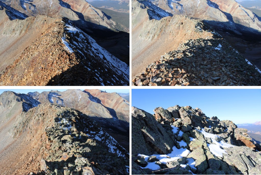
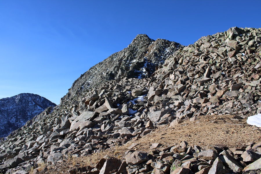
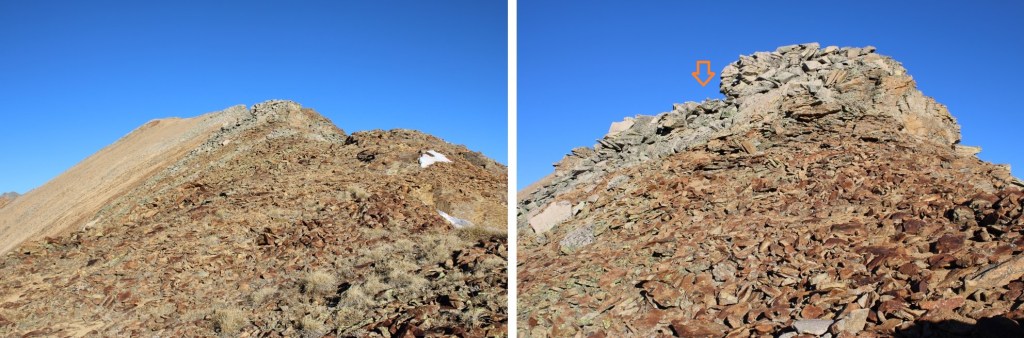
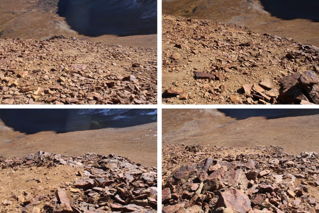
This is where it becomes choose your own adventure. The goal is to gain the ridge.  There’s a lot of class 3 scrambling options to gain the ridge, but I was able to keep it class 2+ by finding lines of scree on the rocks to use.  The scree was mostly sand on top of rocks, but it gave me traction to use and a path to follow. Initially I started going straight up, following the scree

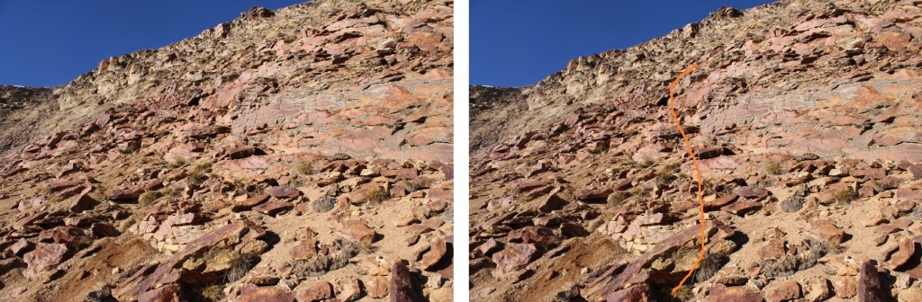
I noticed a scree ramp to my right, and took that until it ended.

Once it ended, I turned left and followed scree paths to the ridge

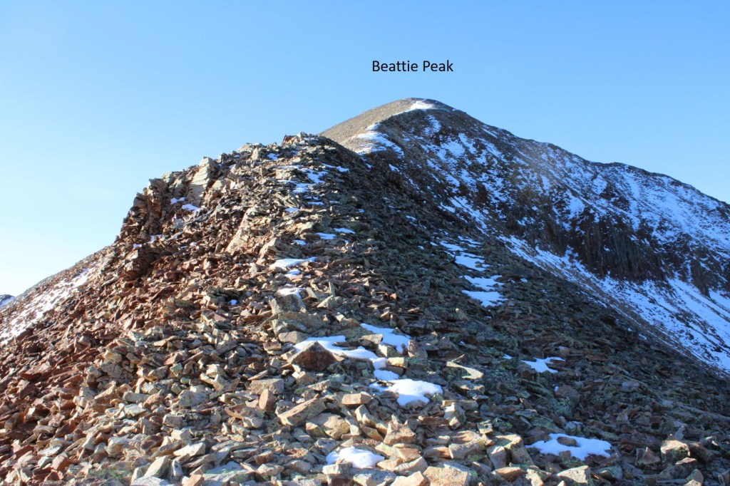
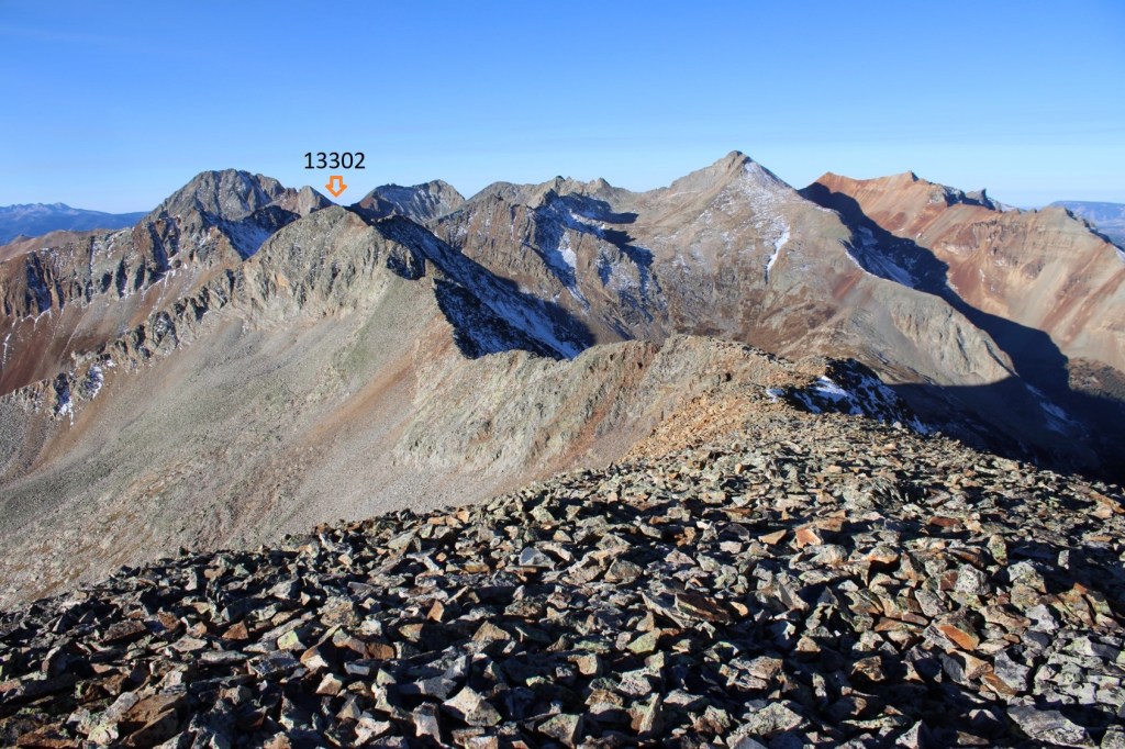
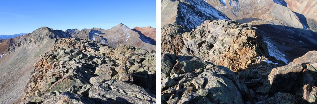
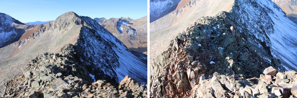
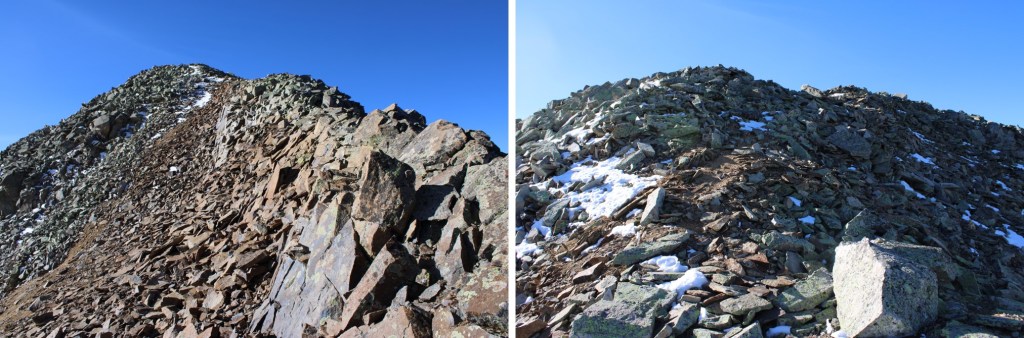
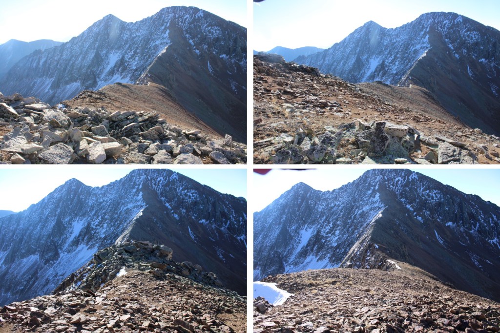
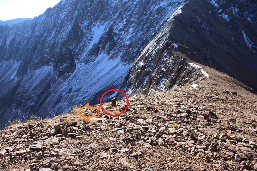
Once on the ridge, I put a small cairn to indicate where I should descend on my way back. I turned right and saw the summit of V9 to the northwest

It was an easy class 2 ridge hike on talus to get there.

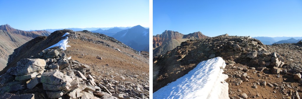
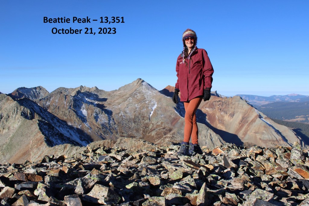
I wasn’t sure where the actual summit was, as it’s rather flat with several “bumps” that all look to be the same height.  So I walked all around each of what looked like the highpoints and took a video from the middle.  I summited V9 at 8:45am
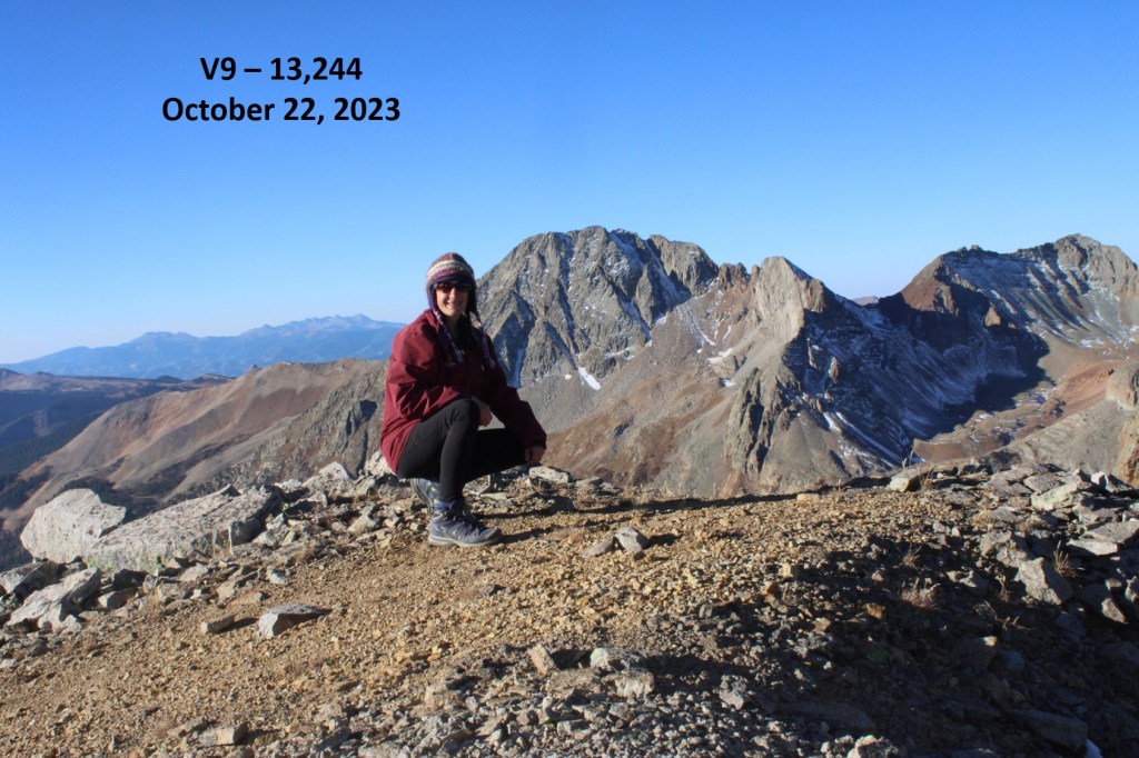
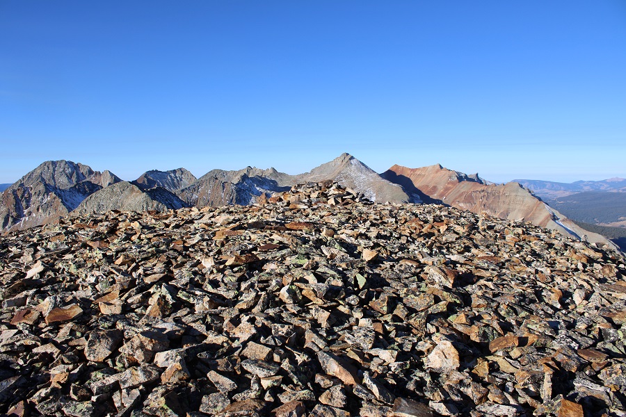
V9:

This was an out and back hike for me, so I made my way back down the ridge to where I’d placed my cairn.

At the cairn I turned left, and headed back towards the scree ramp

I followed the ramp until it ended

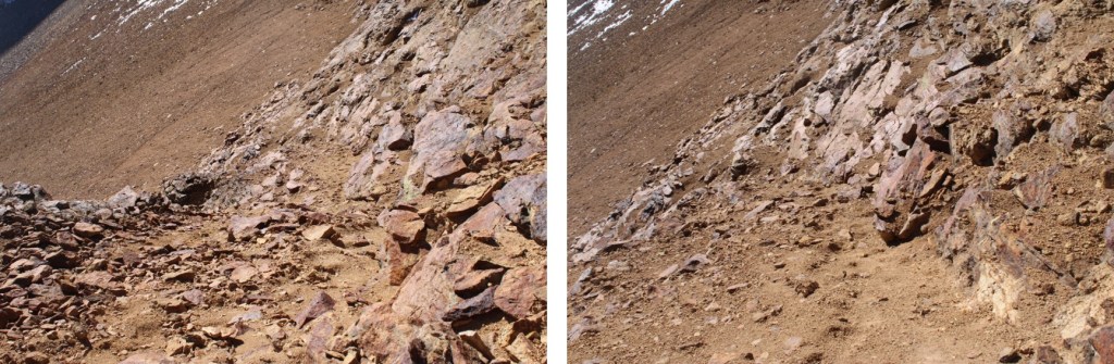
And then followed scree trails to the base of the rocks

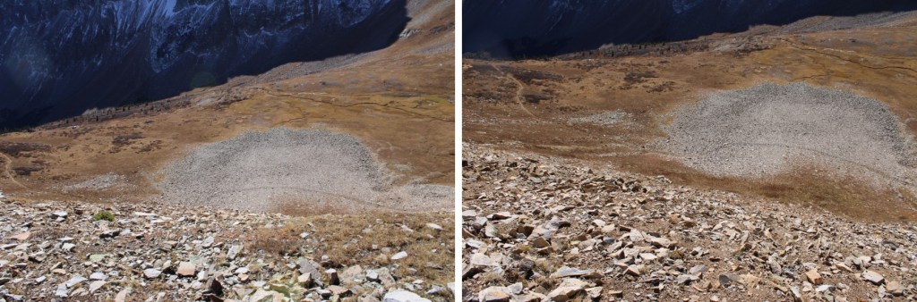
Next I made my way down the slope and back to the Lake Hope Trail

Back on the trail, I followed it northeast back to the Bandora Mine

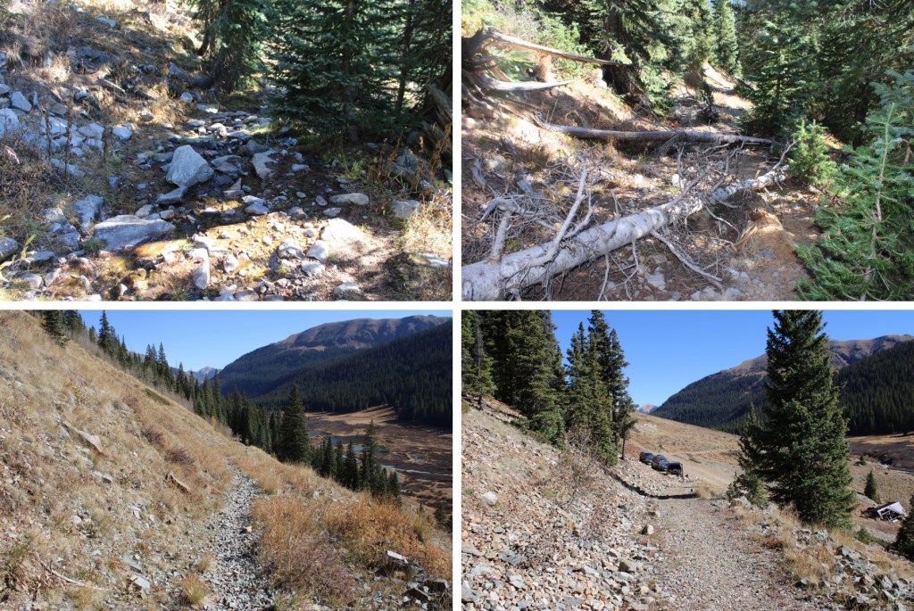
I made it back to the Bandora Mine at 10:45am, making this a 6.96 mile hike with 2657’ of elevation gain. 

On to the next trailhead!

Beattie Peak – 13,351 and PT 13,302

RT Length: 6.87 miles

Elevation Gain: 2945’

I made it to the Bandora Mine the day before, and spent the day scouting potential routes. 

In the evening I did a little catch and release fishing,  the beavers came out of their lodges, and I saw one tail flip a coyote who got too close. 

Beaver and Coyote:

Then a bull moose came strolling around, and I went to bed.  I was on the trail at 6:30am the next morning.  I took the trail to Lake Hope, which started just to the south of the parking area.

I took this class 1 trail southwest for about .8 miles.

At around 11160’ of elevation I left the trail, and turned right.  If you get to the Big Three Mine you’ve gone too far.  I placed a cairn here, and headed north. 

I bushwhacked north up the mountainside to treeline

I was headed here, which included some willow navigation.  I found if I stayed high I could follow game trails.

Once I could see this ridge I turned left and headed northeast to a basin

I kept heading northeast, as the tundra changed over to talus

Now in the upper basin, I aimed for the Beattie/Fuller Saddle. 

I stayed to the left of the snow, and found the talus was surprisingly stable. 

Once at the saddle, I turned left and followed the class 2 ridge to Beattie Peak

I summited Beattie Peak at 8:45am

Beattie Peak:

I could see PT 13302 to the southwest.

Now is a good time to put your helmet on.  This is a class 3 ridge, but starts out as class 2.  This is the overall route I took to get there, taking the ridge to a gully.

The initial descent of the ridge is class 2

But quickly becomes narrow, sustained class 3 with exposure.  The ridge proper goes at class 3, but twice I dipped down to the left to avoid the exposure involved.  Here are some pictures of the ridge

I was now at the base of the gully.  Microspikes helped here. 

This is the route I took

And some pictures of the gully

At the top of the gully I went right

And then I could see the final approach to the summit

This is the overall route I took to the summit

There were two summit cairns, each about 15 feet apart.  They looked to be of equal height. 

I summited PT 13302 at 10am

PT 13302:

I know the traditional way to descend from PT 13302 is to head southwest and down to the V9/PT 13302 saddle, but I’d been there the day before, and did not want to descend that way.  Instead, I headed southwest towards a small saddle, then turned left and scree-surfed south. 

This route brought me back to the Lake Hope Trail. 

Here’s looking up at the route I scree-surfed down

And here’s an overall view of the route I took

Back on the Lake Hope trail, I followed it east back to Bandora Mine

I made it back to Bandora Mine at 11:45am, making this a 6.87 mile hike with 2945’ of elevation gain in 5 hours, 15 minutes.

On to the next trailhead!