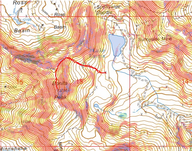
RT Length: 1.62 miles
Elevation Gain: 1009’
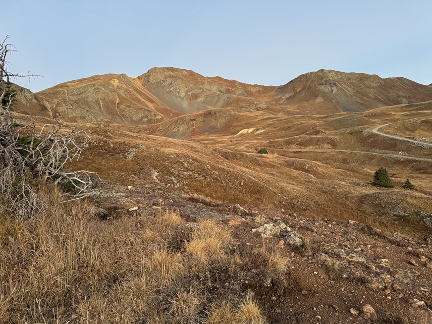
I drove up Eureka Gulch on a 4WD road. This is a dirt road, but a high clearance 2WD can make it all the way. I parked at 12275’ and was on the trail at 3:15pm. This was a quick and easy hike. From the parking area I could see the peak.
I know I’d already summited V5 earlier that morning, and after heading to town, putting together a trip report, hassling with Verizon being down and having a few work meetings (which luckily were over Zoom, not a phone call), I drove to the next trailhead. When I got there it was 3pm, and I noticed how quick the summit route looked. I bet I could get it done in an hour or so, and why put off for tomorrow what I could do today? I put on my hiking boots and went at it.
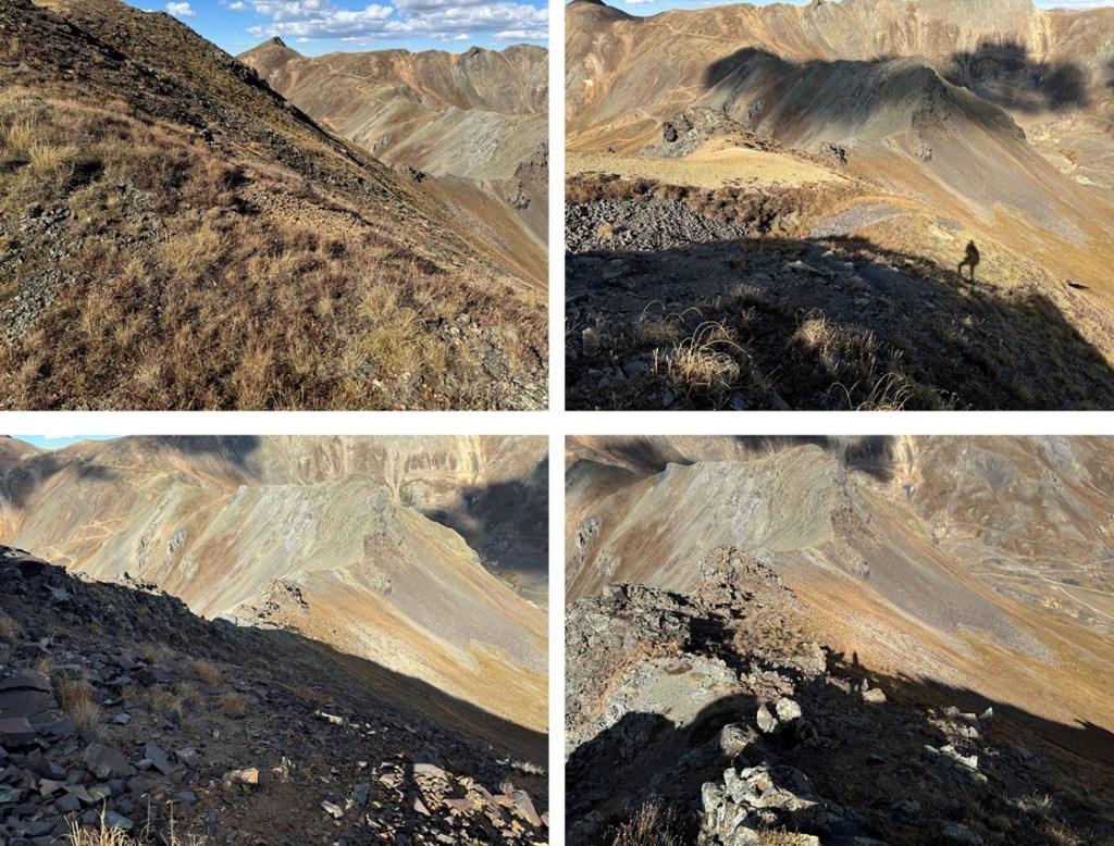
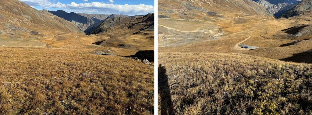
I started by heading west up the tundra to the ridge

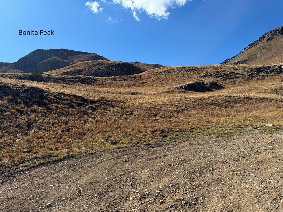
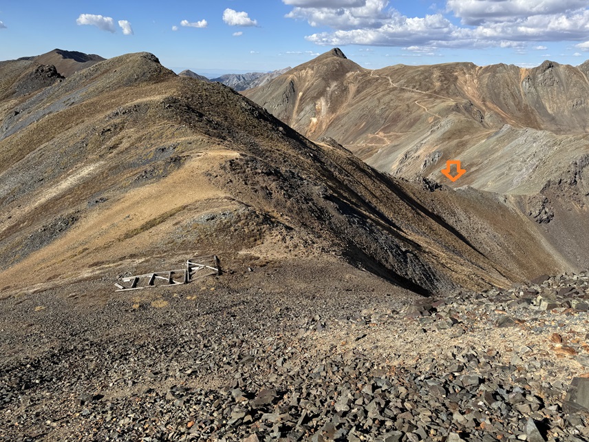
Once on the ridge I turned left and followed it south to the summit. The ridge started out with game trails below the rock outcroppings, and then turned rocky, but this entire hike was class 2.


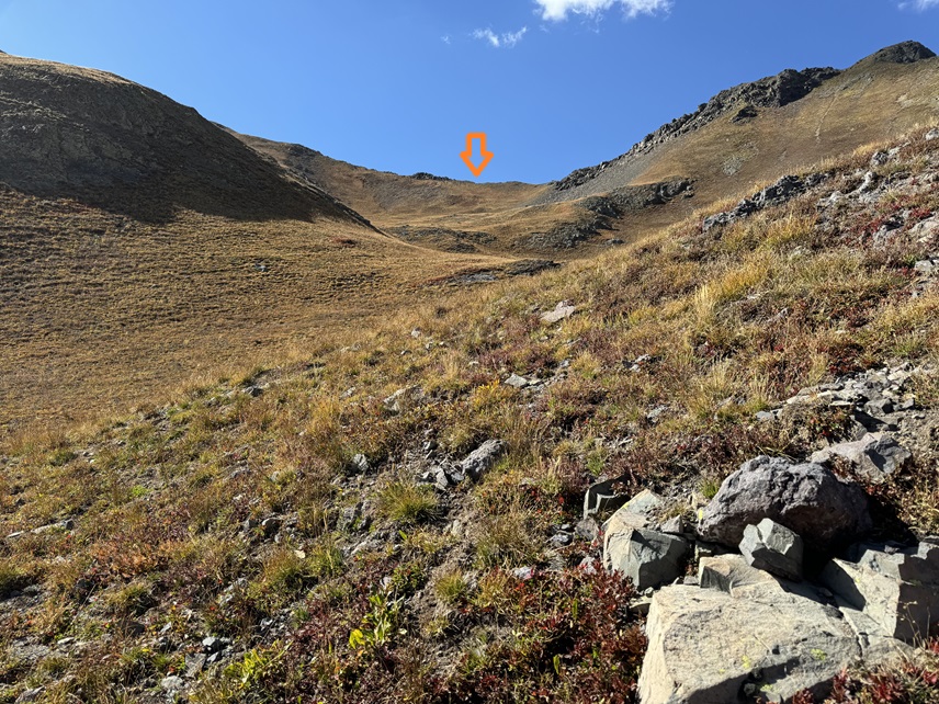
I came to an area filled with scree and headed straight up.
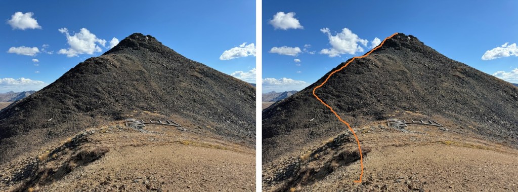
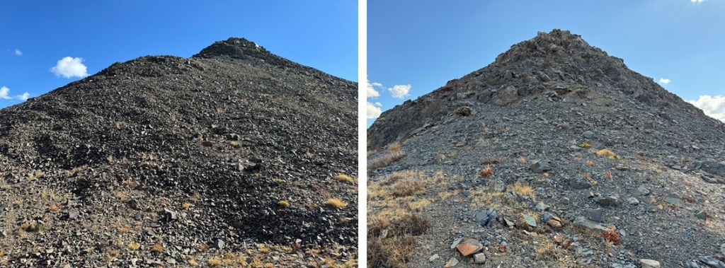
This is where the terrain became rocky (still class 2). I followed the ridge south to the summit

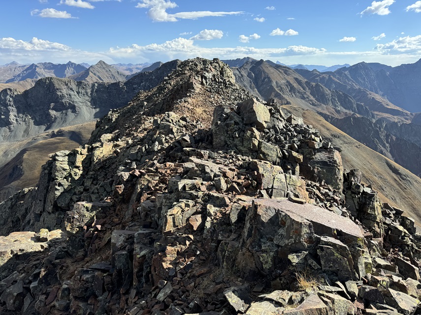
I summited Bonita Peak at 3:55pm

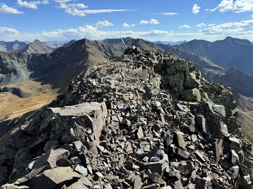
Bonita Peak:
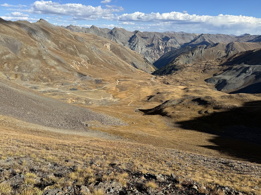
Now to head back down. I followed the rocky ridge north
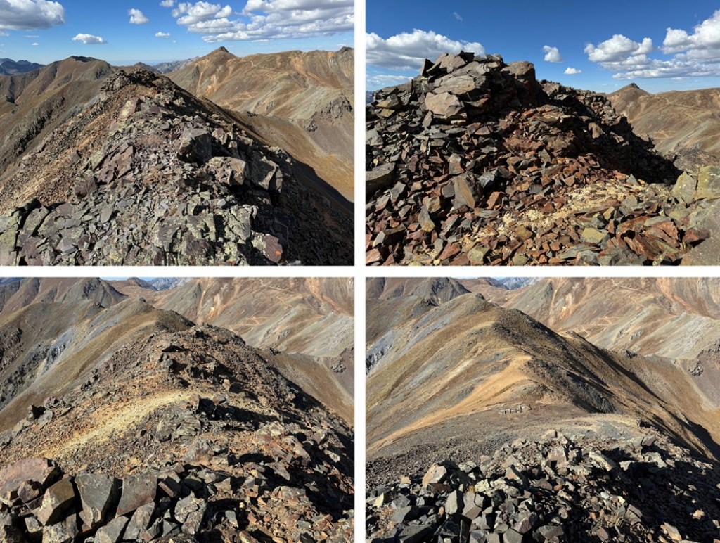
I continued following it as it turned to tundra. Here’s where I descended:
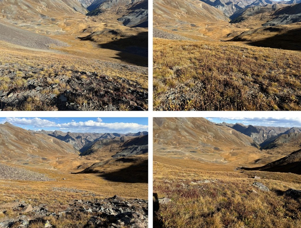
And then to descend down the ridge, heading east back to my truck.
I made it back to my truck at 4:20pm, making this a 1.62 mile hike with 1009’ of elevation gain in 1 hour, 5 minutes. Yep, it was a quick and easy hike.
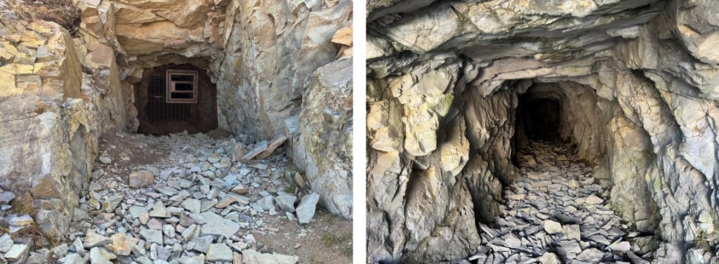
Also, there was a closed-up mine where I parked.
On to the next trailhead!
