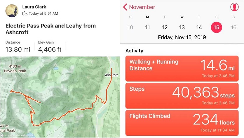
RT Length: 14 miles
Elevation Gain: 4406’
My flight got in late. I’d been in California all week at a tech conference and decided to leave Thursday evening to allow me to hike on Friday morning. This seemed like a great idea but the flight was delayed and I didn’t end up making it to Denver until 1:30am. I jumped in my truck and drove to the Cathedral Lake trailhead, a little upset I was behind schedule but not too worried since it was supposed to be a nice day and I wasn’t on any time schedule.
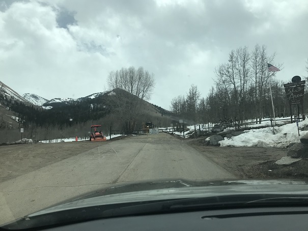
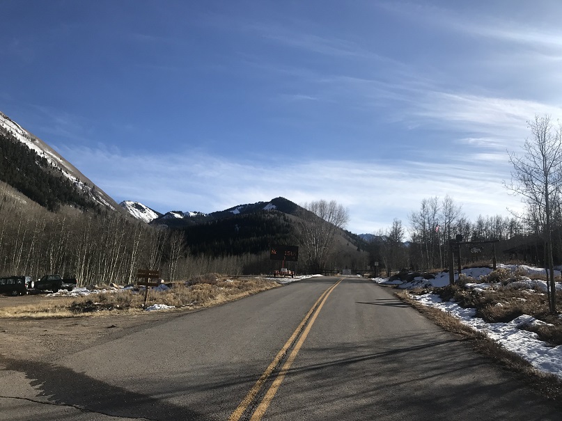
I’d heard they were closing the road to Maroon Bells today and figured since they were in the same area they’d be closing the road to the Cathedral Lake trailhead soon as well. When I got to Ashcroft I saw the gate was still open but there was a blinking sign indicating the road was going to close on November 15 (today). I was excited it was still open until I noticed it said they were closing it at 7am. Drat! I’d arrived before the gate closure but only by about an hour and a half. Oh well, this only added 3 miles total to my hike. Also, props to them for putting up signs warning of the upcoming closure.
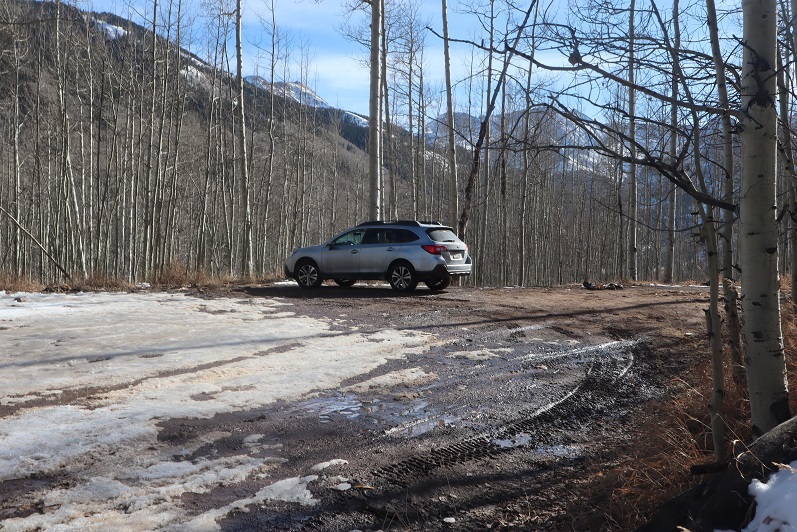
I parked my truck in the parking lot at Ashcroft, gathered my gear, and was on the trail at 5:45am.
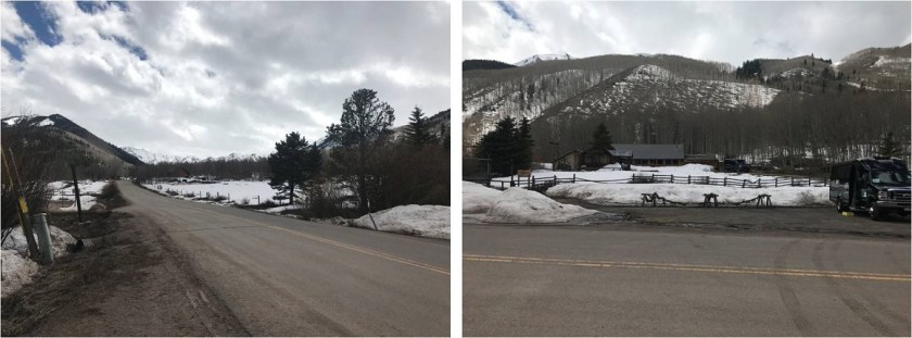
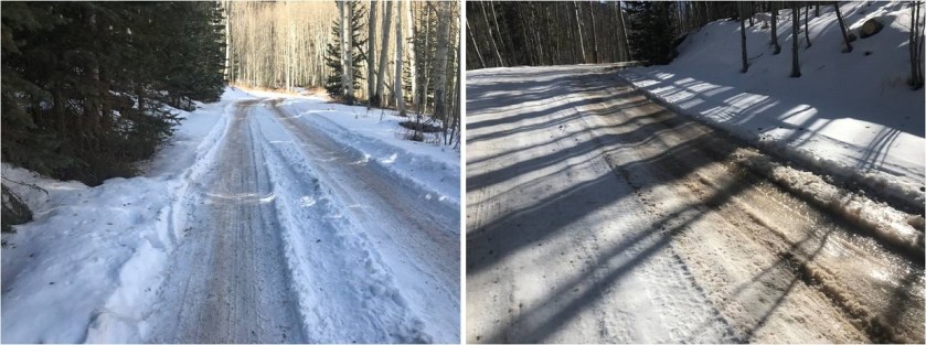
I followed the road for a mile and then turned right (west) onto a dirt road.
Here the road became icy. I followed it for another three quarters of a mile to the trailhead
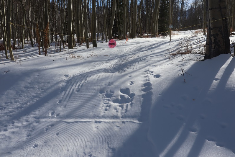
I saw several ropes put across roads that weren’t open, which I thought was a great idea! I was here last May when there were several feet of snow on the ground and following the correct road had been a challenge when everything was white. These ropes would have come in handy back then
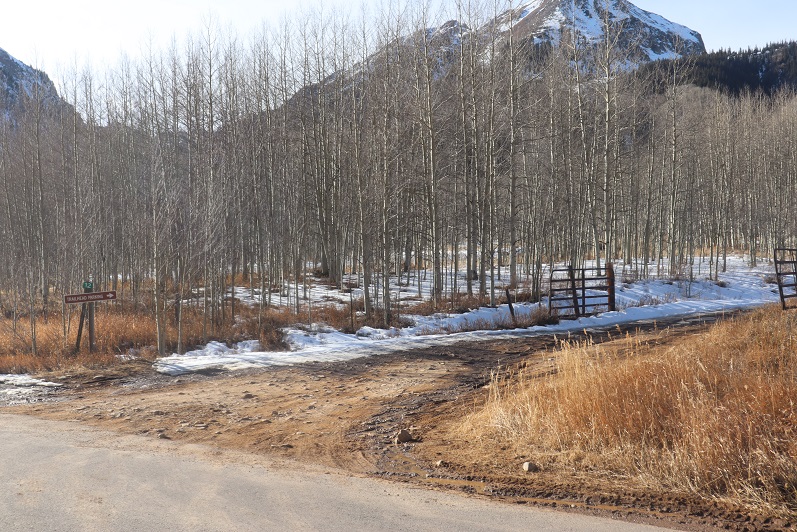
The dirt road led me to the Cathedral Lake trailhead.
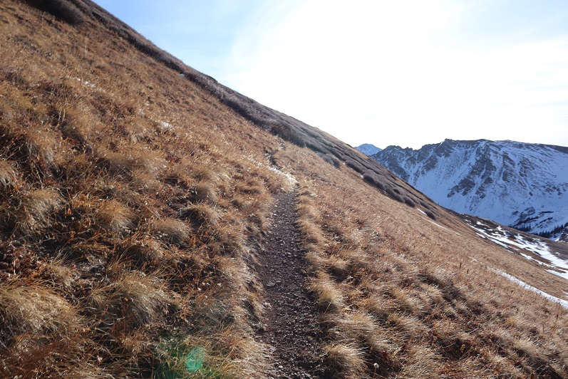
The trail up to the lake is a well defined, class 1 trail. The trail had seen snow recently but was well packed down. In the morning I didn’t need microspikes, but they were very helpful in the afternoon.

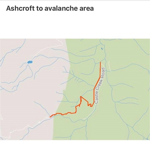
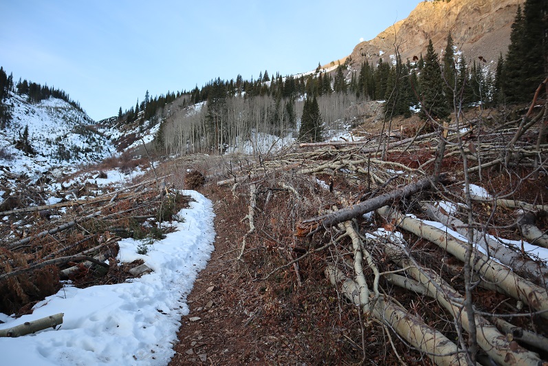
The avalanche area has been well cleared
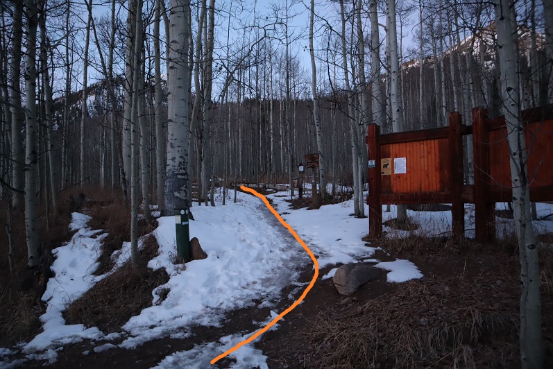
Just after ascending this hill (after about 4 miles from the start of the trail) the trail splits in two, one going to Cathedral Lake, the other to Electric Pass.

I went right towards Electric Pass
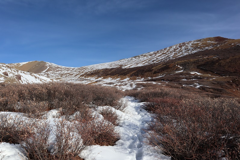
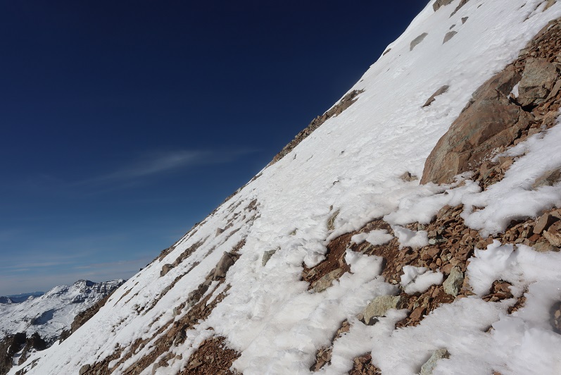
Here the snow picked up quite a bit and the trail became less traveled.
Most of the snow seemed to be directly on the trail. Unfortunately, it looked like one other person had been here since the snow fell and apparently they hadn’t brought snowshoes because they’d postholed with every step. It made my trek that much more difficult.
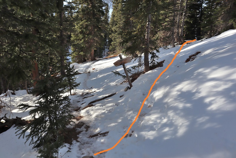
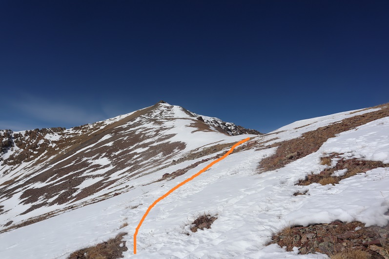
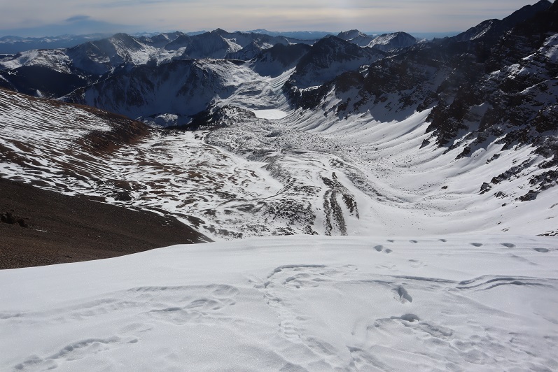
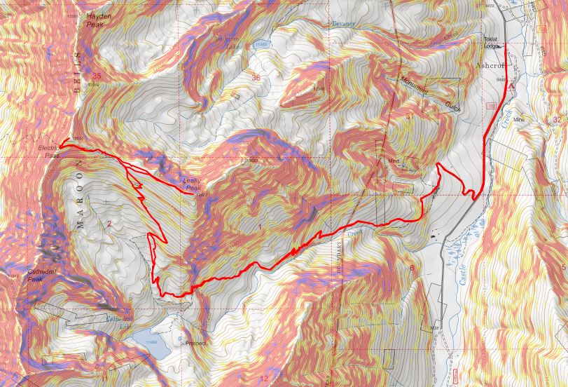
The trail led me to a basin and from here snow obscured the rest of the route, making this a class 2 hike. Also, here the tracks stopped. It seemed the previous hiker had given up their hike at the basin (probably because they lacked snowshoes). With no visible trail I’d originally planned to hike to the end of the basin and gain the ridge, but as I was aiming for the ridge I came across the trail again and decided to follow it instead. Here’s the route I took

Some parts of the trail were completely dry
But most of the trail was obscured by snow. I’d lose it and then find it again. I decided this was a good time to put on my microspikes.

I just kept aiming for the saddle
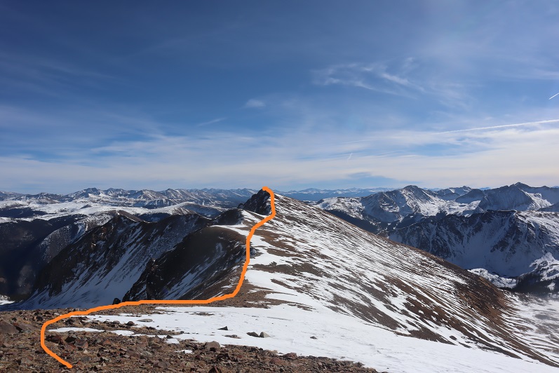
Once there I saw a cairn and followed the ridge west
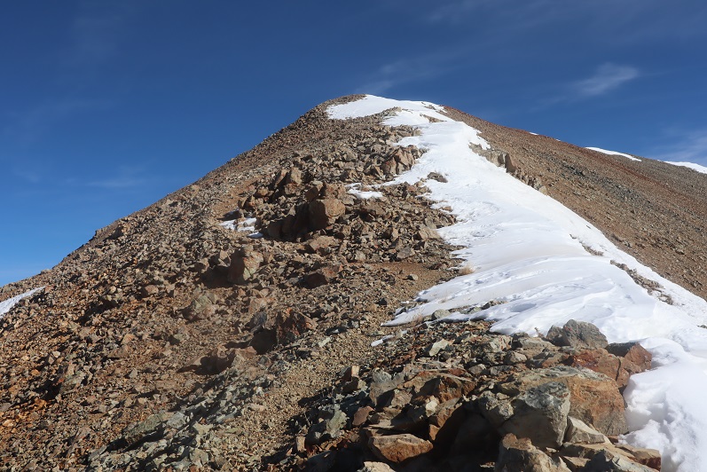
Instead of following the ridge to the summit I followed the trail, which went around to the left

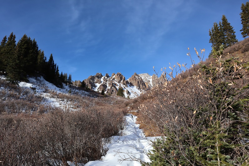
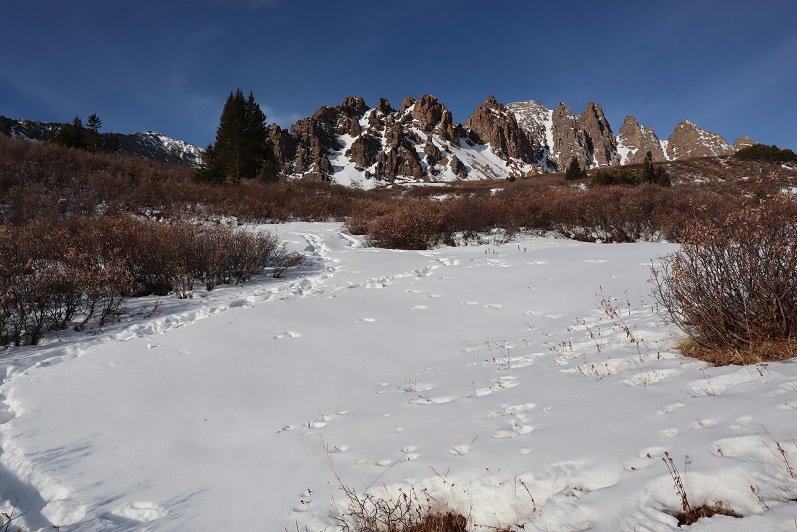
After rounding the corner (still on the trail) I could see the route to Electric Pass


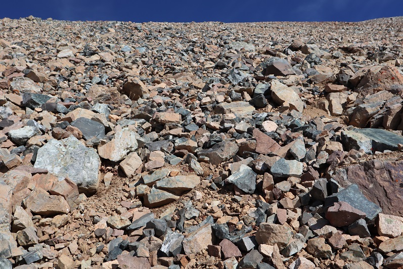
This area was full of loose talus. It looked like some people had attempted to summit this way in the past (there were cairns pointing upwards) but this seemed foolishly difficult and unnecessary.
The last bit was steep and the snow here was soft. I carefully made solid tracks in the snow.
There was a cornice to navigate before gaining the ridge. Once on the ridge I turned right (northeast) and followed the trail to the summit
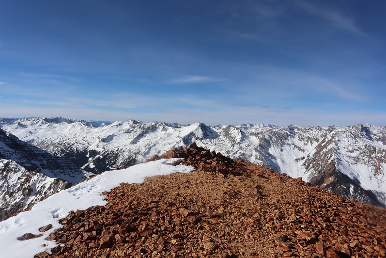
The summit had a lot of red rocks and a large cairn
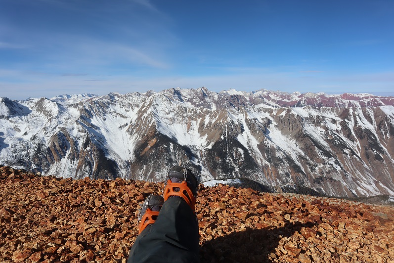
I summited “Electric Pass Peak” at 10:15am
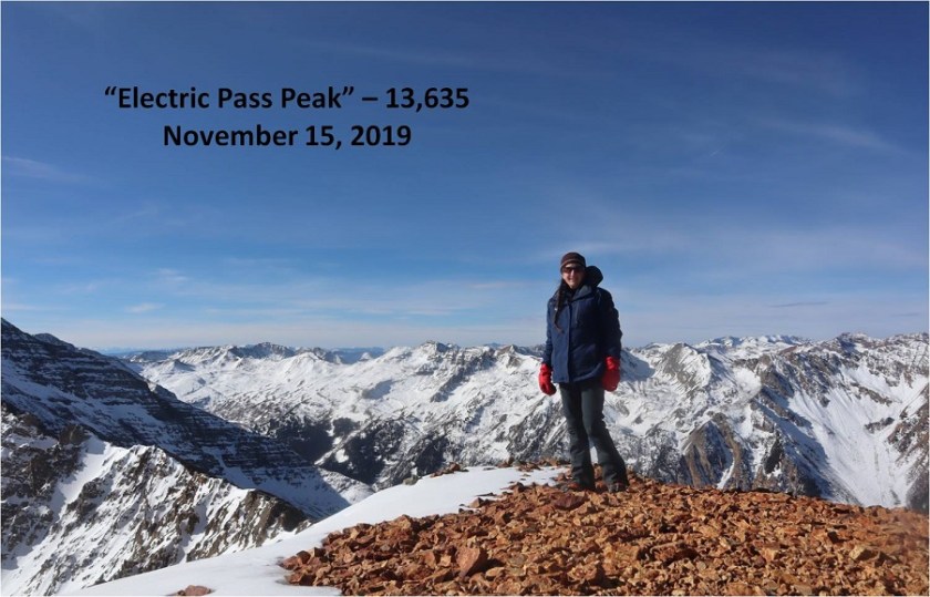
“Electric Pass Peak”
The views were absolutely amazing!


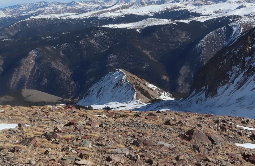
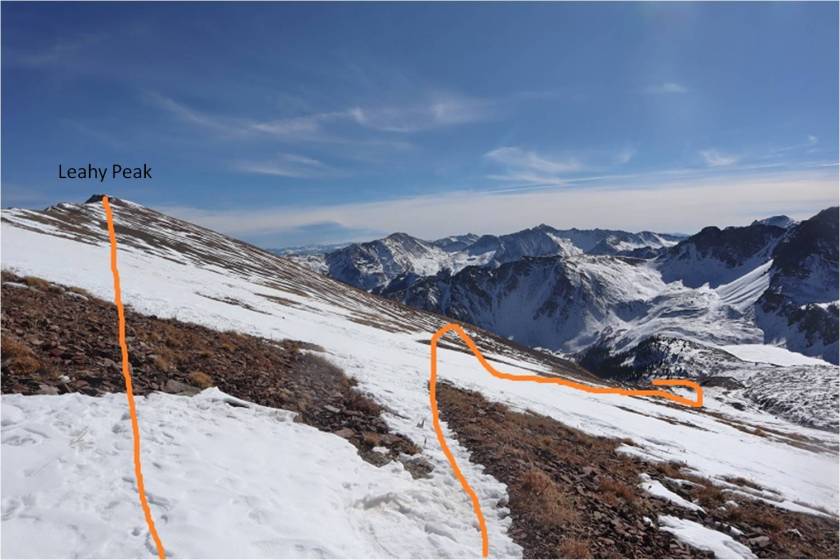
From here I had a good view of the route to Leahy Peak

I turned and went back the same way I’d summited
It hadn’t been very long since I was there, but the section of snow just under the ridge had now become slick. This was the crux of the route for the day, going back over the cornice and snow that took me back to the talus
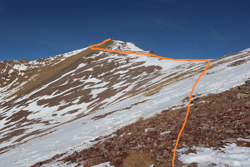
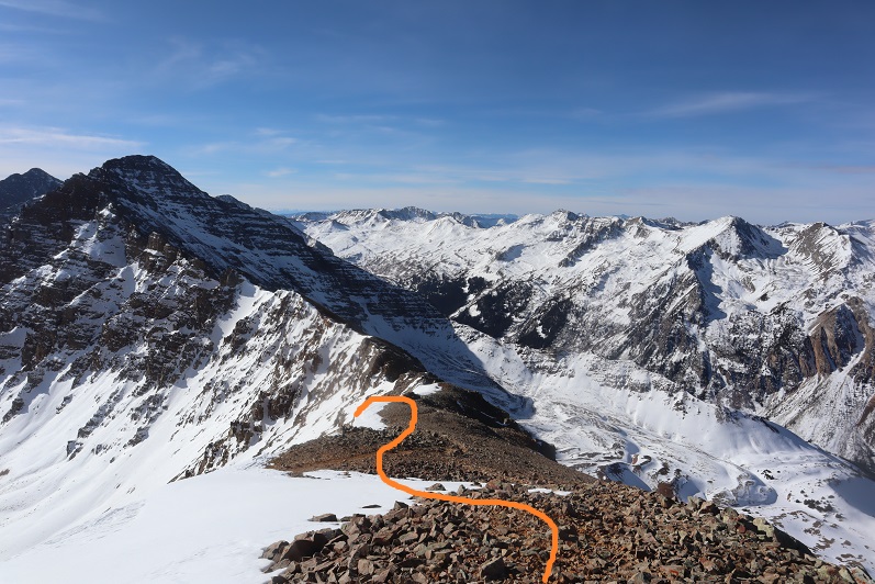
Here’s the route I took from “Electric Pass Peak” to Leahy, doing my best to stick to the ridge and avoid the snow
Side note: look at the difference in snow levels on opposite sides of the mountain!
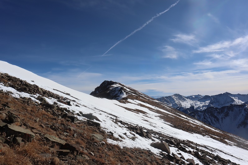
Here’s the last bit up to Leahy Peak. This really was an easy ridge walk, and if you’re even considering summiting Leahy I’d recommend doing so.
I summited Leahy Peak at 11:15am

Leahy Peak
Time to head back. I followed the ridge back as best I could until I came across the trail again
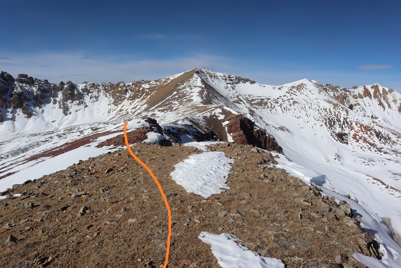
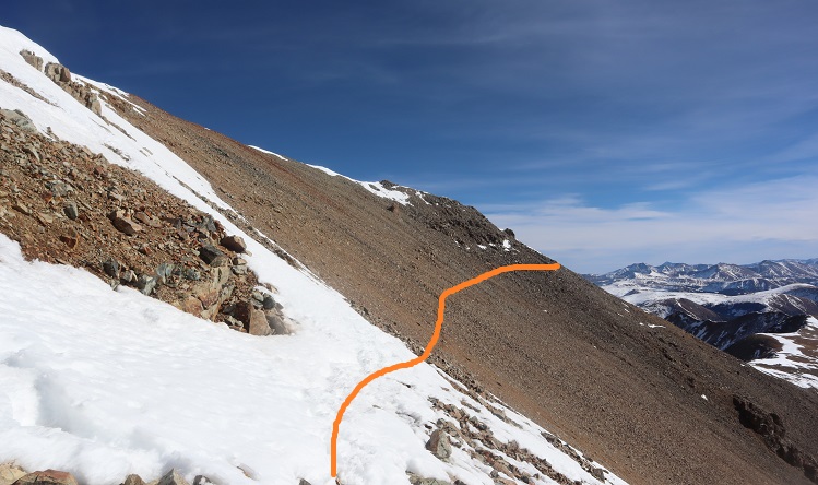
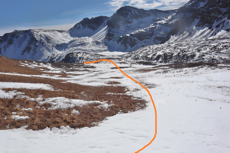
Here’s my route from Leahy Peak back down to the basin
On my way back I put on my snowshoes and tried to stomp down the postholes along the trail
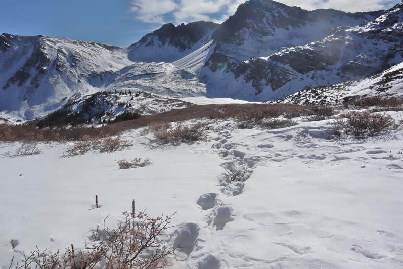
It was really neat seeing all the animal tracks on the way down that hadn’t been there on my way up

I was almost back at the trailhead when I came across three hikers. They were surprised to see me because they hadn’t seen any other vehicles at the trailhead. They also didn’t have proper gear to be out hiking, especially on all this ice. They seemed upset with me when they saw I was wearing microspikes because they hadn’t brought any.

I was surprised they’d parked at the trailhead.
Me: “Weren’t they supposed to close the gate this morning?”
Them: “Yes, they did. We just used our 4WD vehicle to drive around it”
I didn’t agree with their tactics and gave them a blank look as I let my eyes go wide. Don’t be like them.
I made it back to the trailhead and indeed they’d parked their car in the lot, going around the closed gate to get there.
I followed the dirt road back to the paved road

And followed the paved road back to Ashcroft (and the closed gate)

I made it back to Ashcroft at 2:15pm, making this a 14 mile hike with 4406’ of elevation gain in 8 hours, 30 minutes
I was a bit tired, seeing as how I hadn’t slept in 2 days, but considered today’s outing a win!