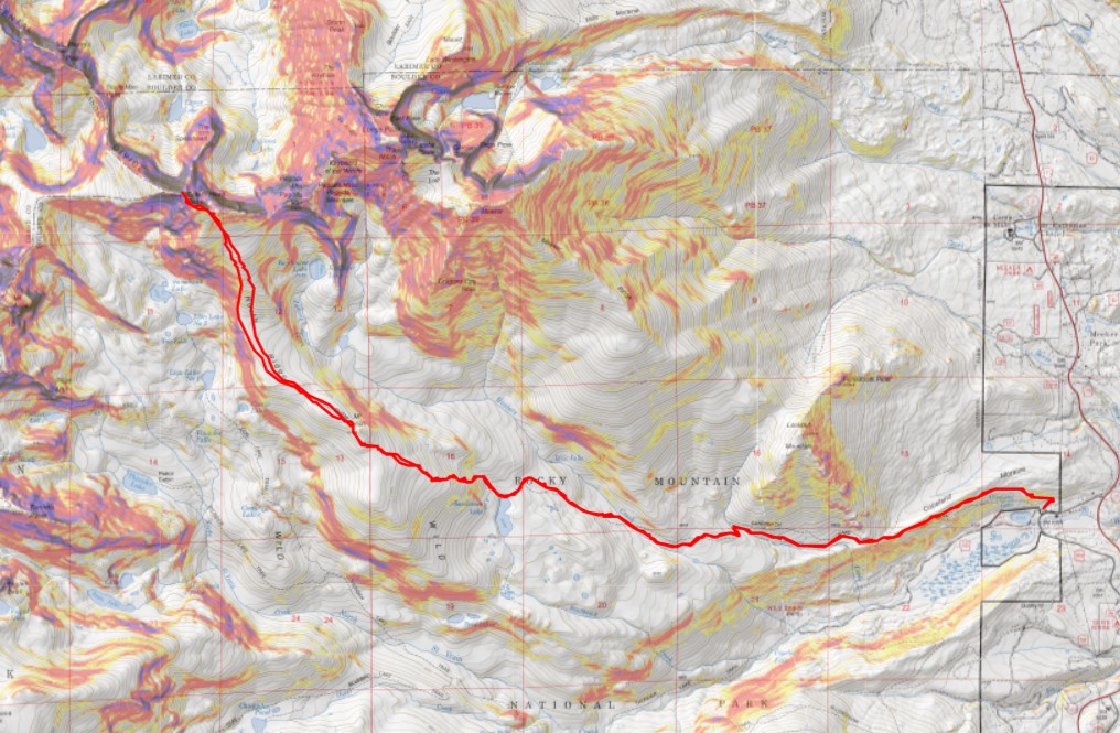
RT Length: 18.17 miles
Elevation Gain: 5476’
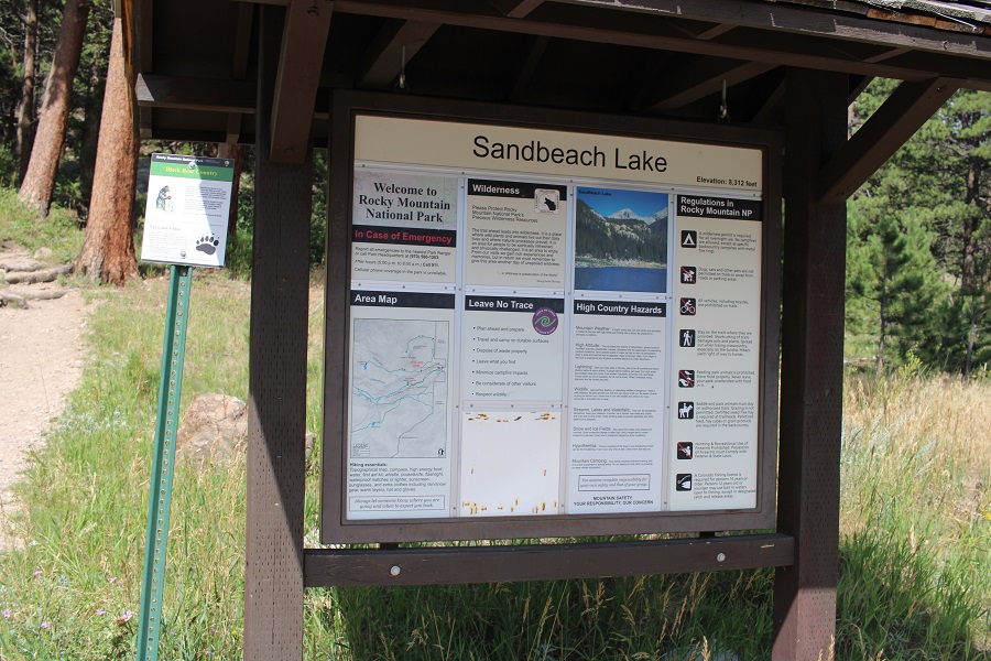
I parked at the Sandbeach Lake Trailhead at Rocky Mountain National Park, and was on the trail at 4:30am.
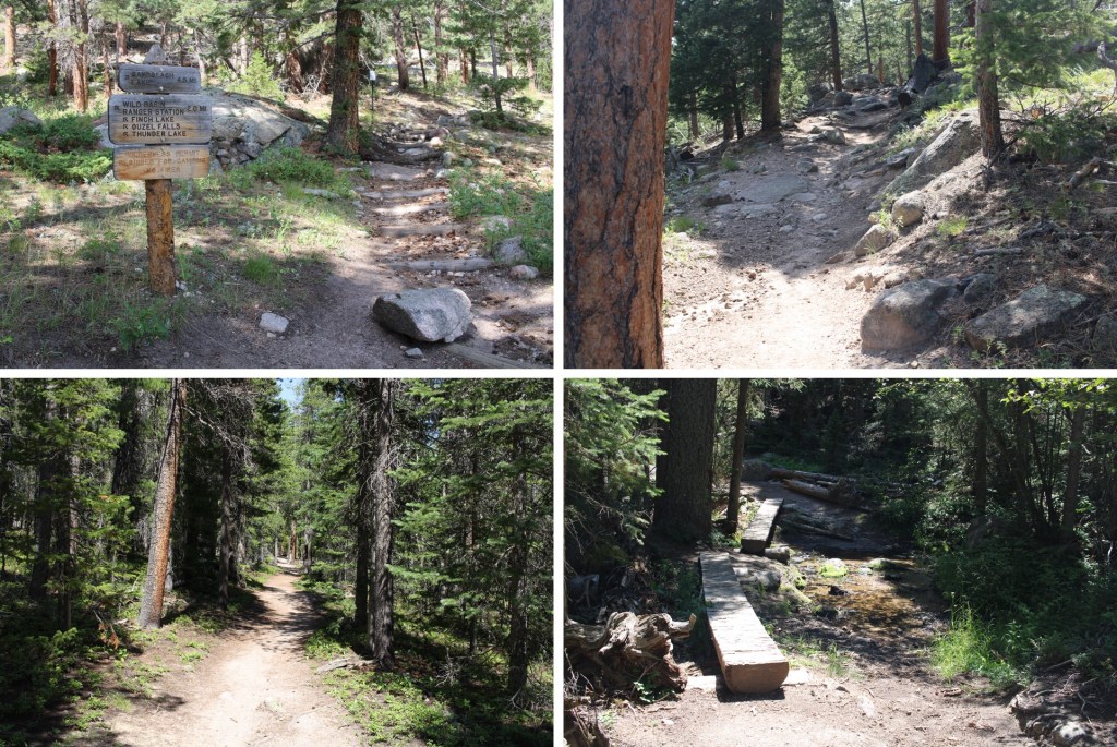
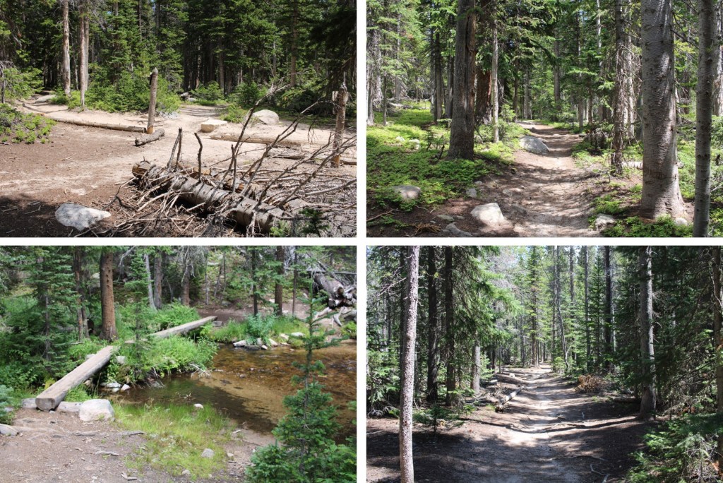
The Sandbeach Lake Trail was a class 1 trail I took all the way to Sandbeach Lake. There were 2 creek crossings, but they had footbridges across.
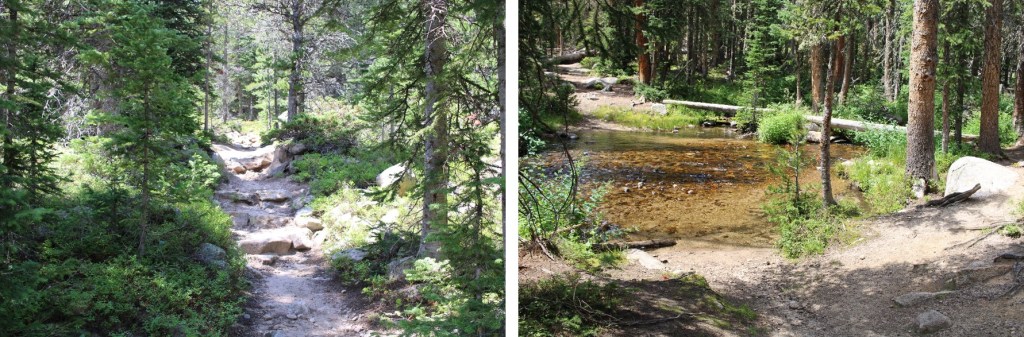
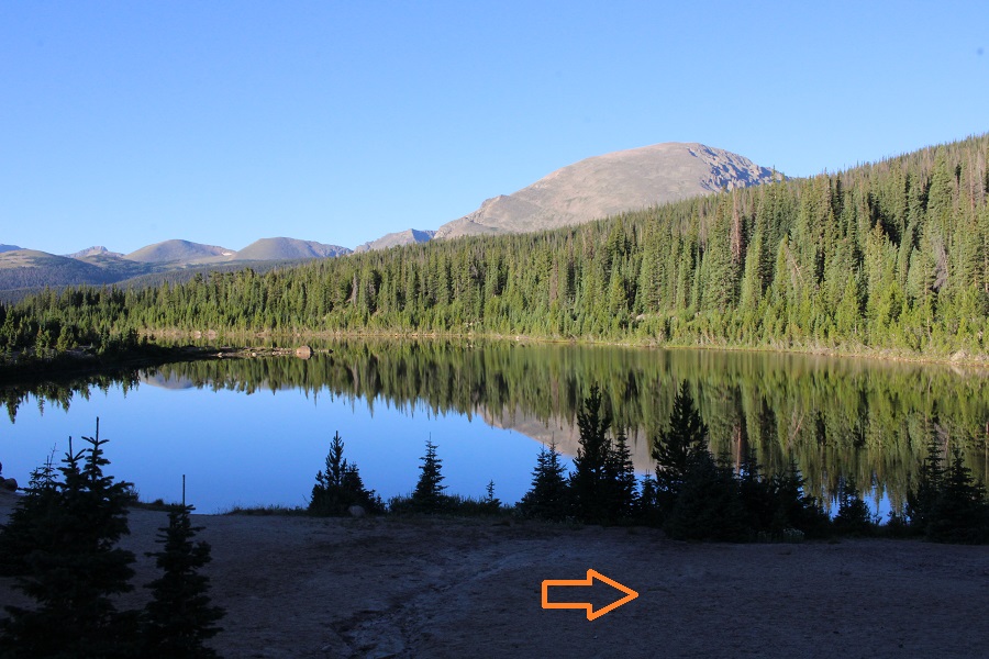
It was 5 miles to Sandbeach Lake. Once at the lake, the fastest way to skirt the lake and find a trail is to go right here
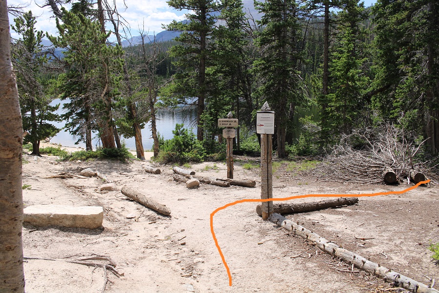
But I wanted to see the lake, so I did, and then followed the lake past a small stream, and caught up with the trail there.
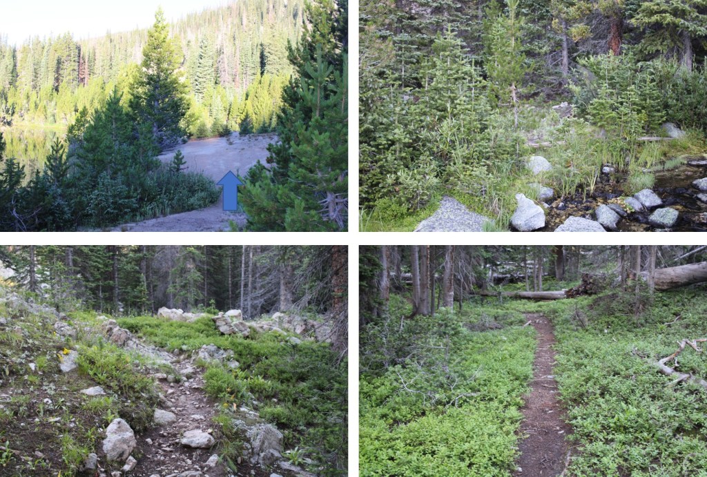
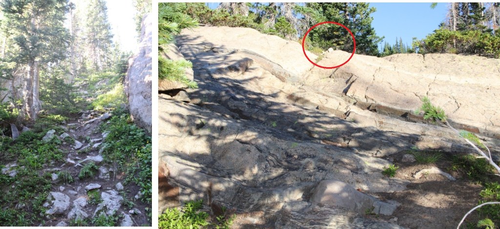
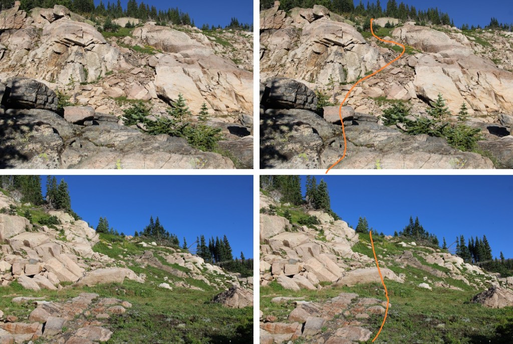
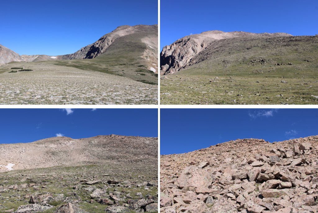
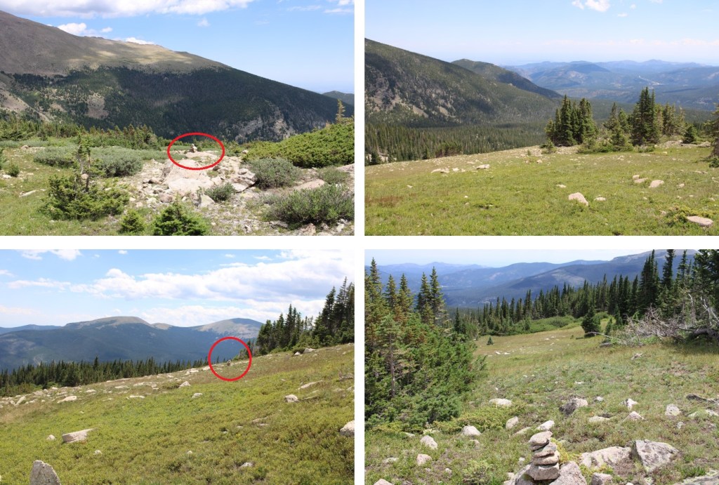
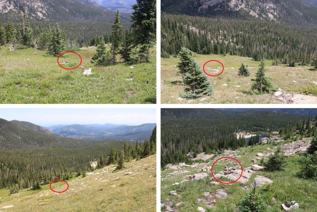
After crossing the creek, I followed the trail northeast to treeline. When the trail ended, there were plenty of cairns to guide the way (circled in red).
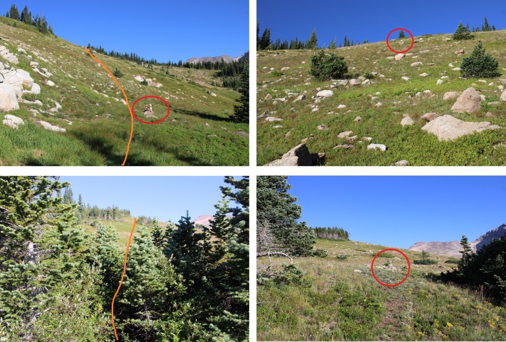
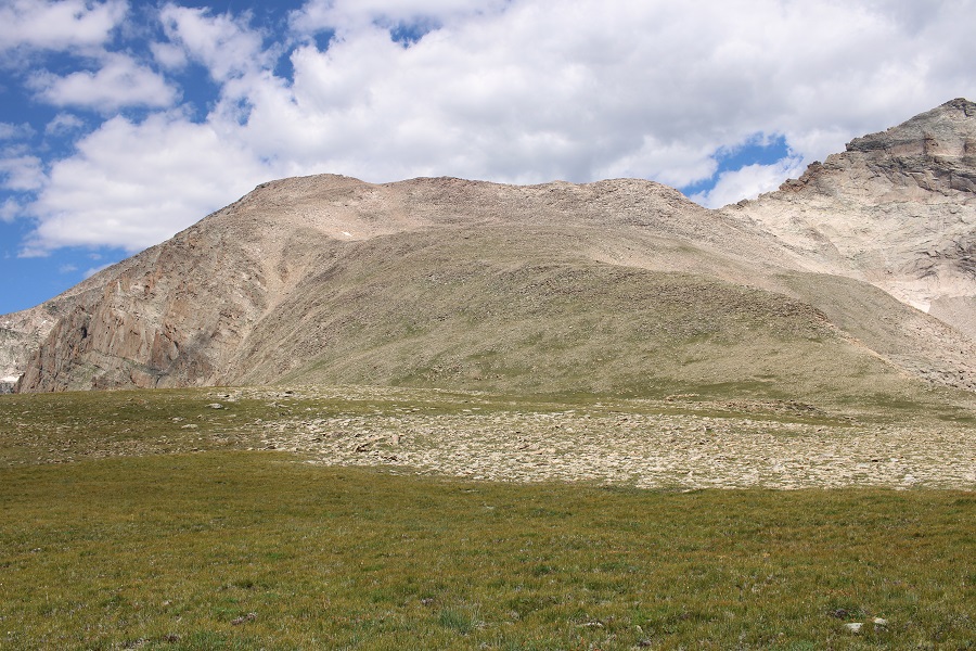
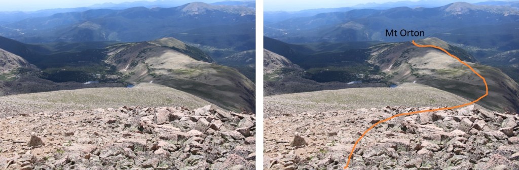
Once at treeline, I kept aiming for Mt Orton (unranked). There were cairns to mark the way until I was in front of Mt Orton
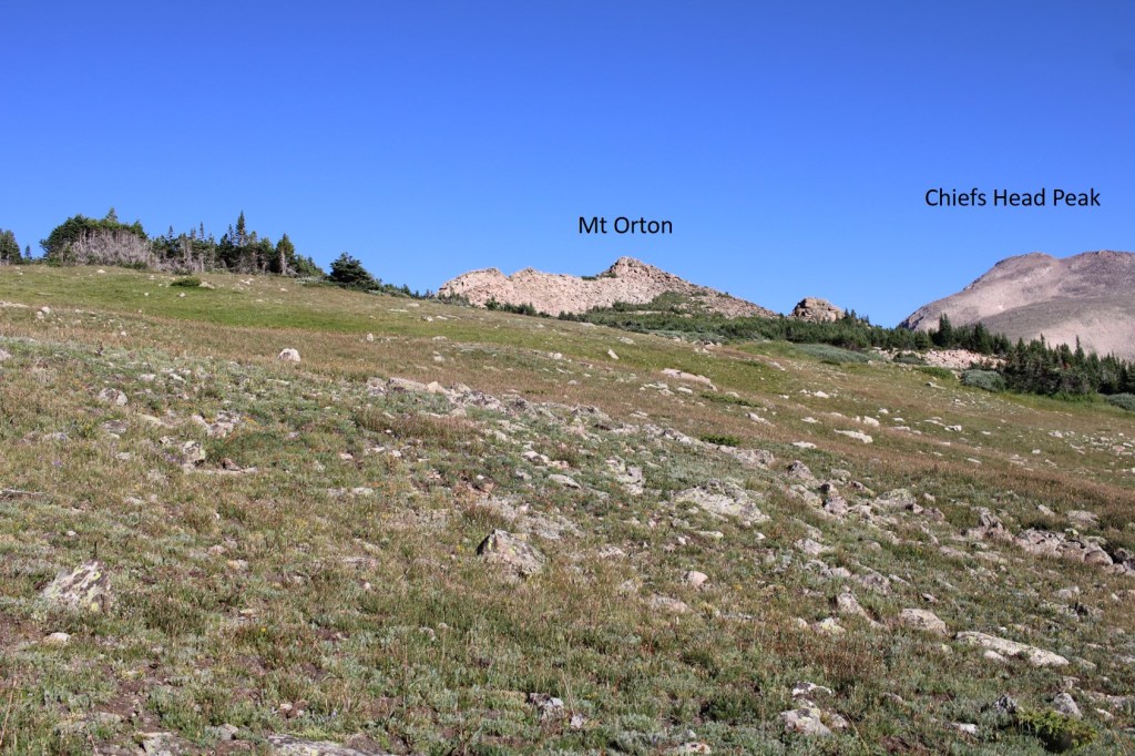
I then skirted Mt Orton to the left, and went through a very small saddle
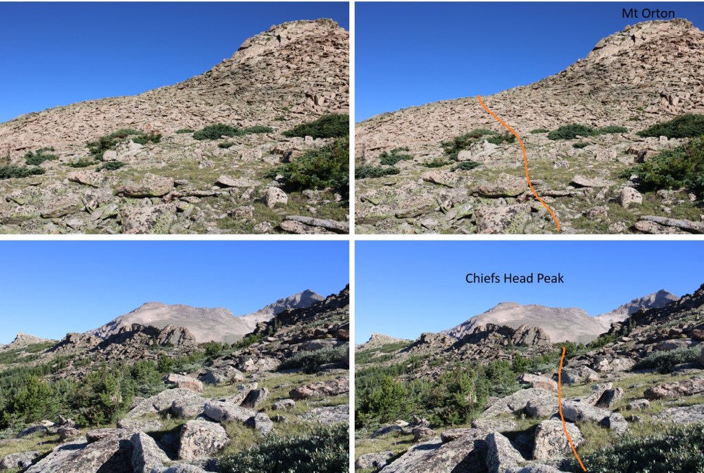
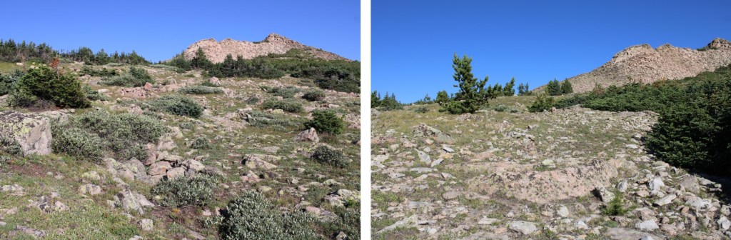
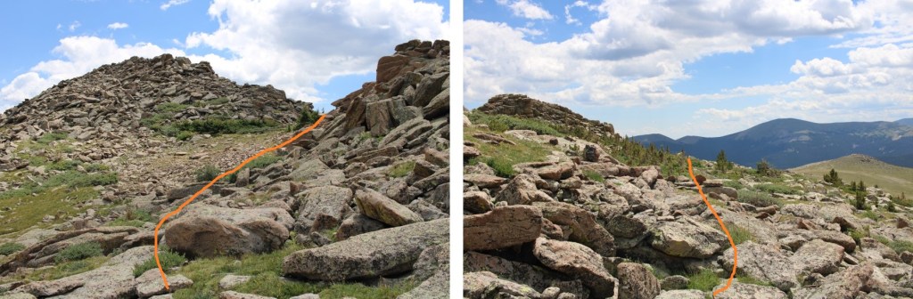
I could now see an easy path to Chief Head’s ridge. Here’s the route I took
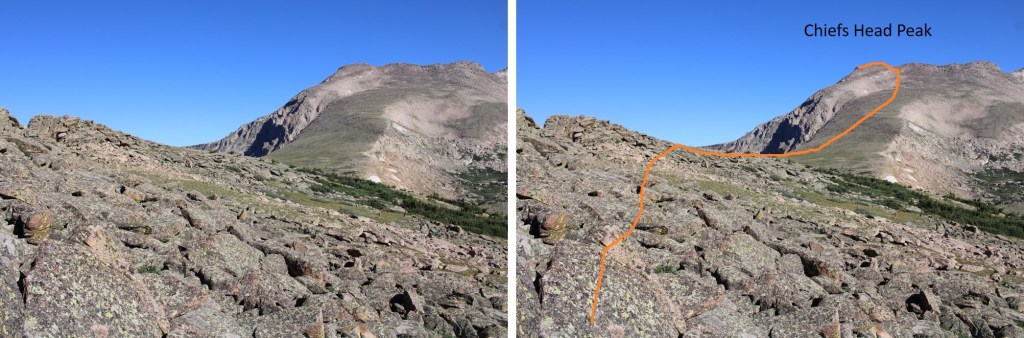
And some close-up pictures
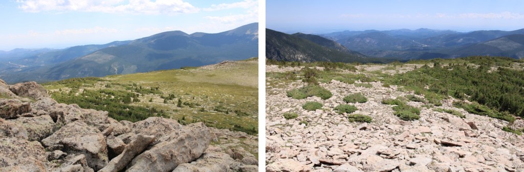
Once on the ridge, I followed it .3 miles to the summit, on rocky terrain. I was able to keep it all class 2 by staying to the left.
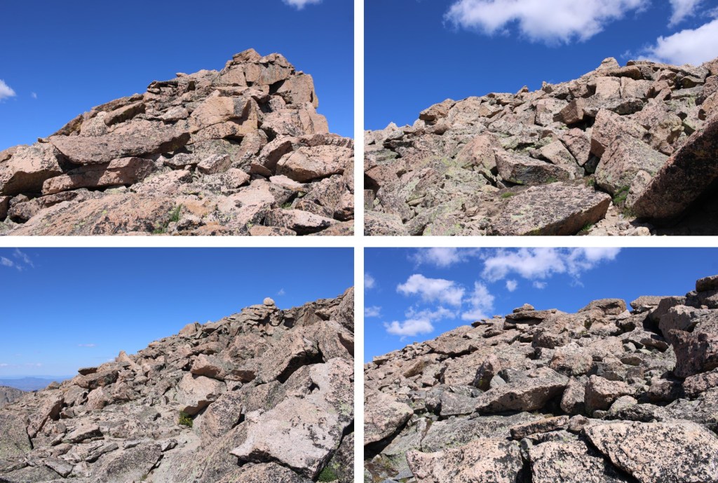
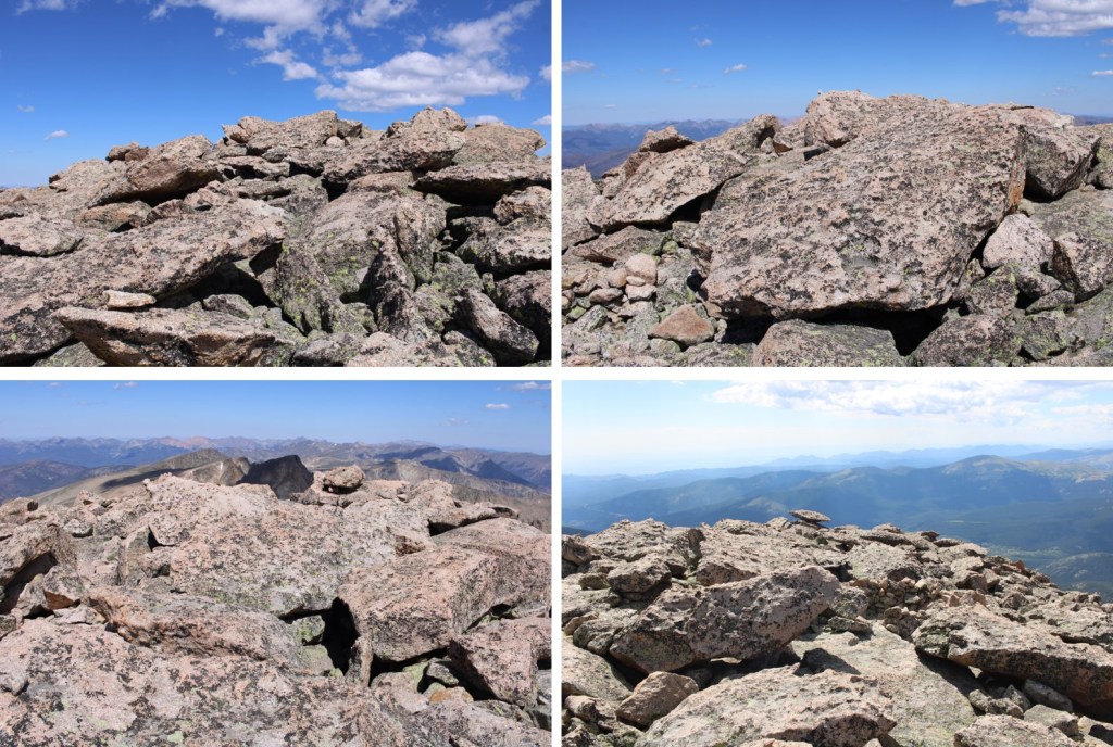
There wasn’t a summit register, or a cairn, or a marker, so I just walked all over the rocky summit.
I summited Chiefs Head Peak at 11am

Chiefs Head Peak:
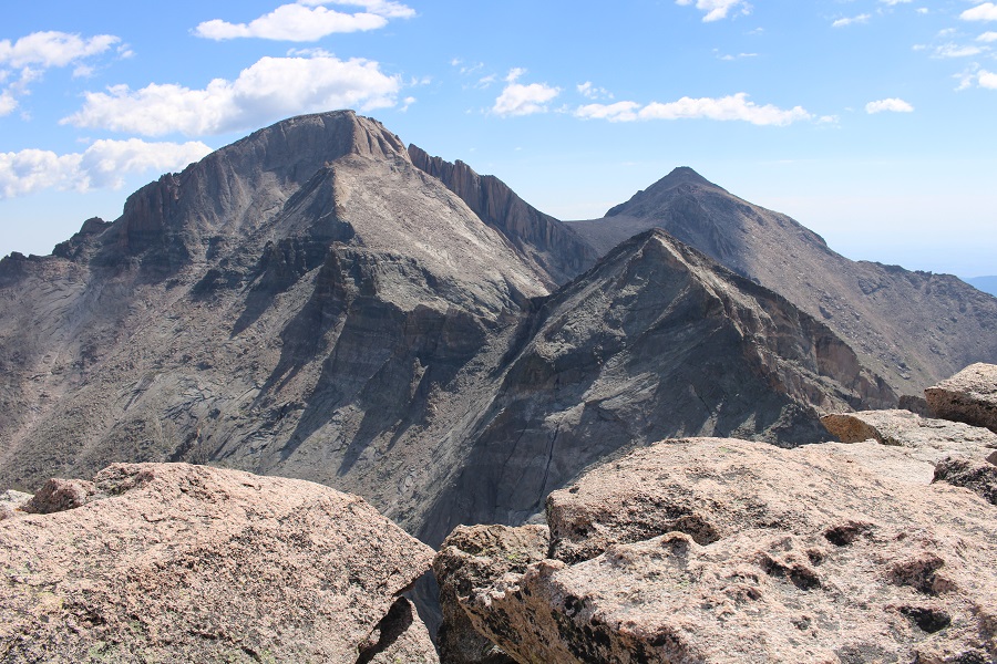
From the summit I had an amazing view of Pagoda, Longs, and Meeker
This was an out and back hike, so I turned and retraced my steps back down the mountain, around Mt Orton, and to Sandbeach Lake

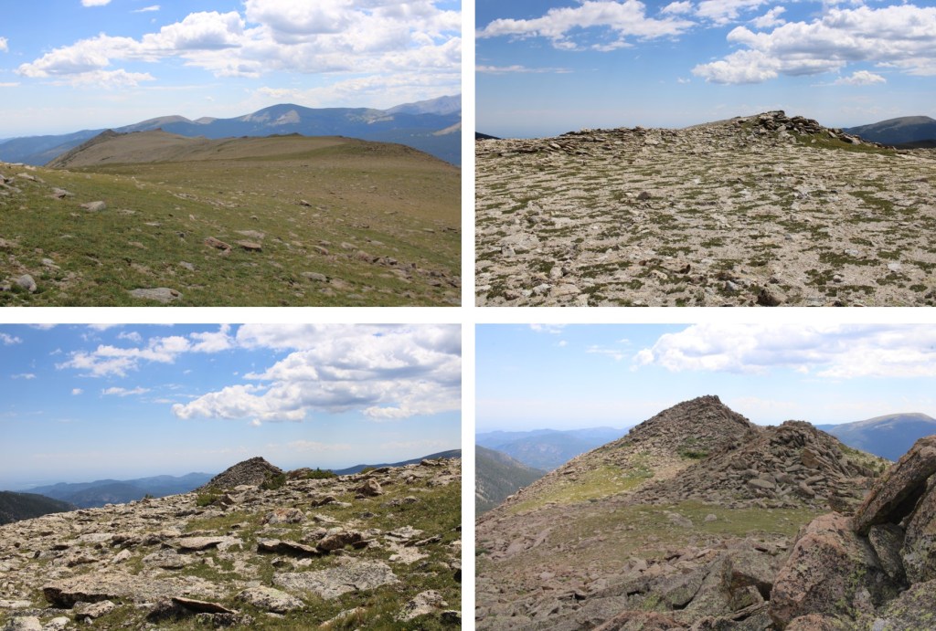
The cairns picked up again, and I could now see Sandbeach Lake, so route finding was easy until I hit the trail.


Back at the lake, I picked up the Sandbeach Lake Trail, and took this class 1 trail all the way back to the trailhead.
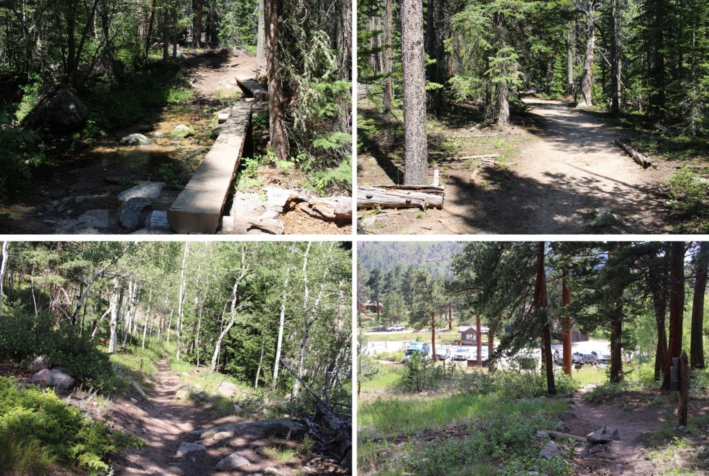
I made it back to my truck at 3:15pm, making this an 18.17 mile hike with 5476’ of elevation gain in 10 hours 45 minutes.
On to the next trailhead!
