RT Length: 9.05 miles
Elevation Gain: 3128’
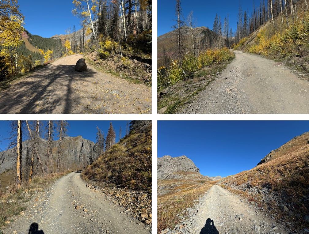
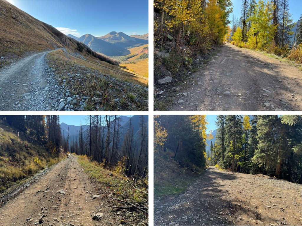
I parked a little ways up Clear Lake Road at a dispersed campsite. The road is 4WD, but I could have driven all the way to Clear Lake. If you have a 4WD vehicle, this is an easy road to navigate all the way to the end. There’s just one obstacle: A boulder taking up half the road about a mile up. After that, it’s pretty straightforward.

I was on the trail at 5:30am. I followed the road for 3.5 miles up to 11820’
At 11820’ I left the trail, and headed northeast up this tundra slope, towards a mining road
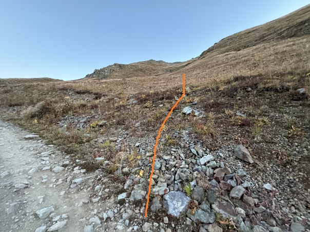
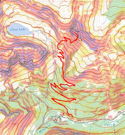
When I reached the mining road I followed it west, then east, then west as it switchbacked to 12530’. Here’s an overview of my route:
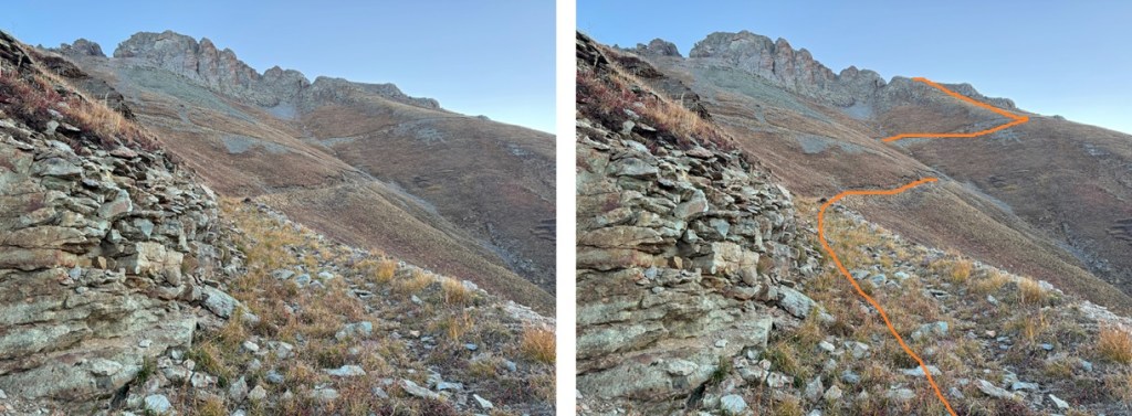
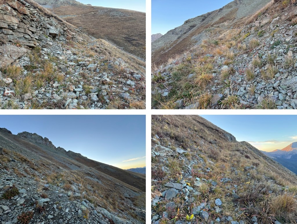
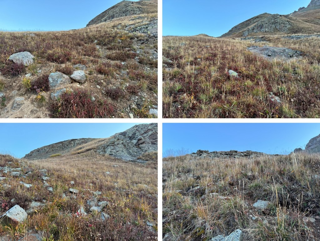
At 12530’ I left the mining road and headed northeast up the tundra. The tundra eventually changed to scree, but this was all class 2.
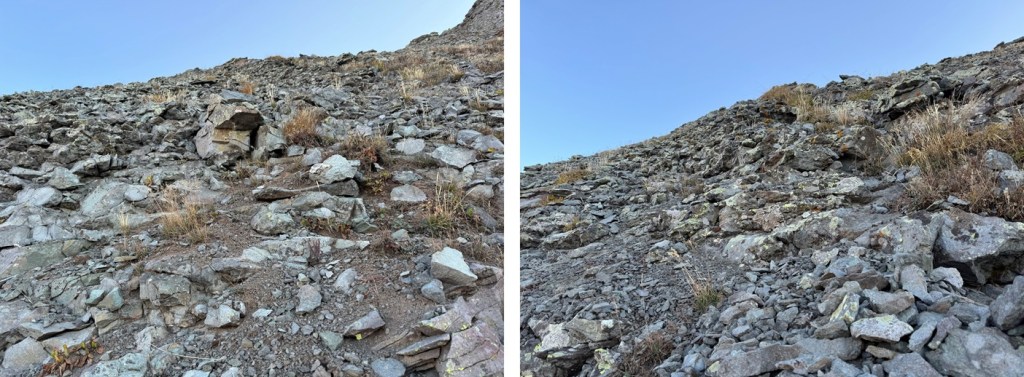
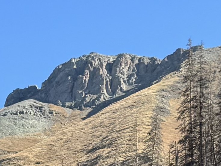
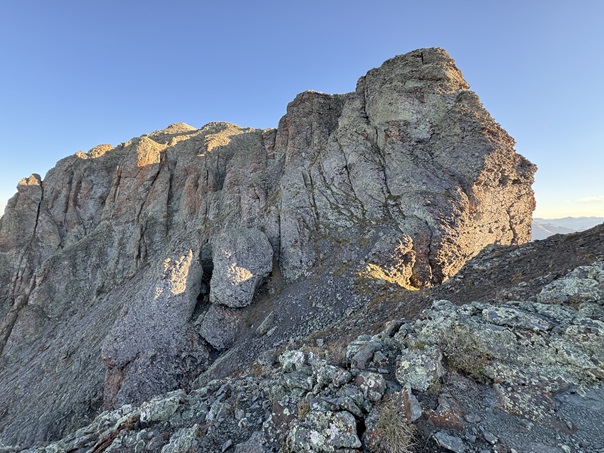
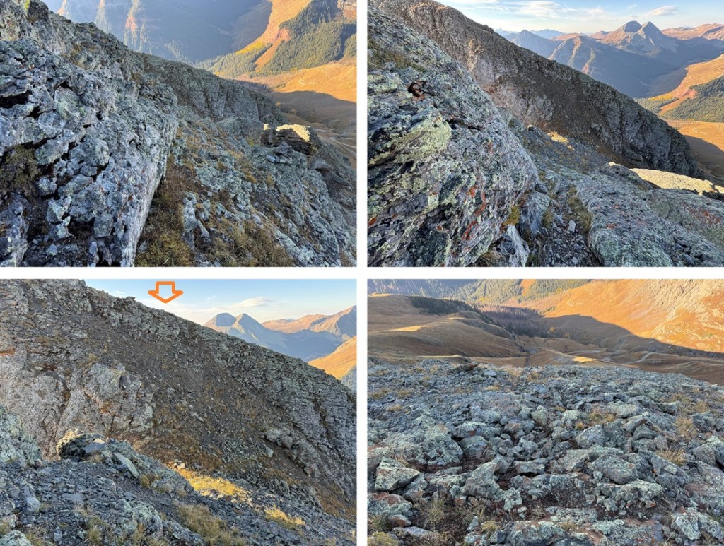
At the top of the scree I was now on the ridge. If you don’t already have on your helmet, now is the time to put it on. This next section is a class 3 gully.
While not entirely solid, it’s much easier to navigate than it looks. This is the route I took to access the gully:
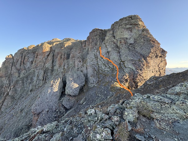
Here’s a look at the class 3 gully. It’s easier to navigate than it looks.

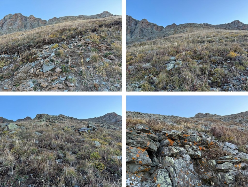
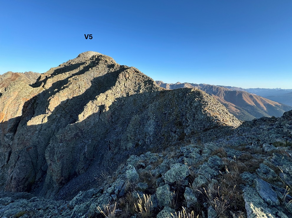
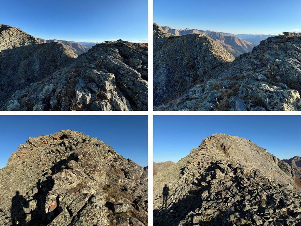
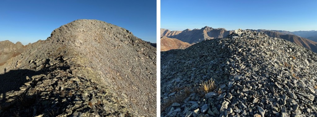
At the top of the gully I turned left and hiked the class 2 ridge northwest to the summit
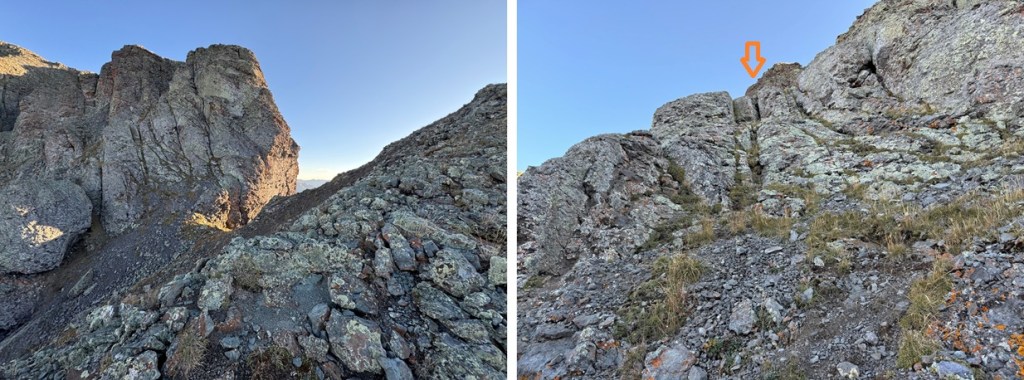
Here are some pictures of the rocky (but class 2) ridge
I summited V5 at 8:10am
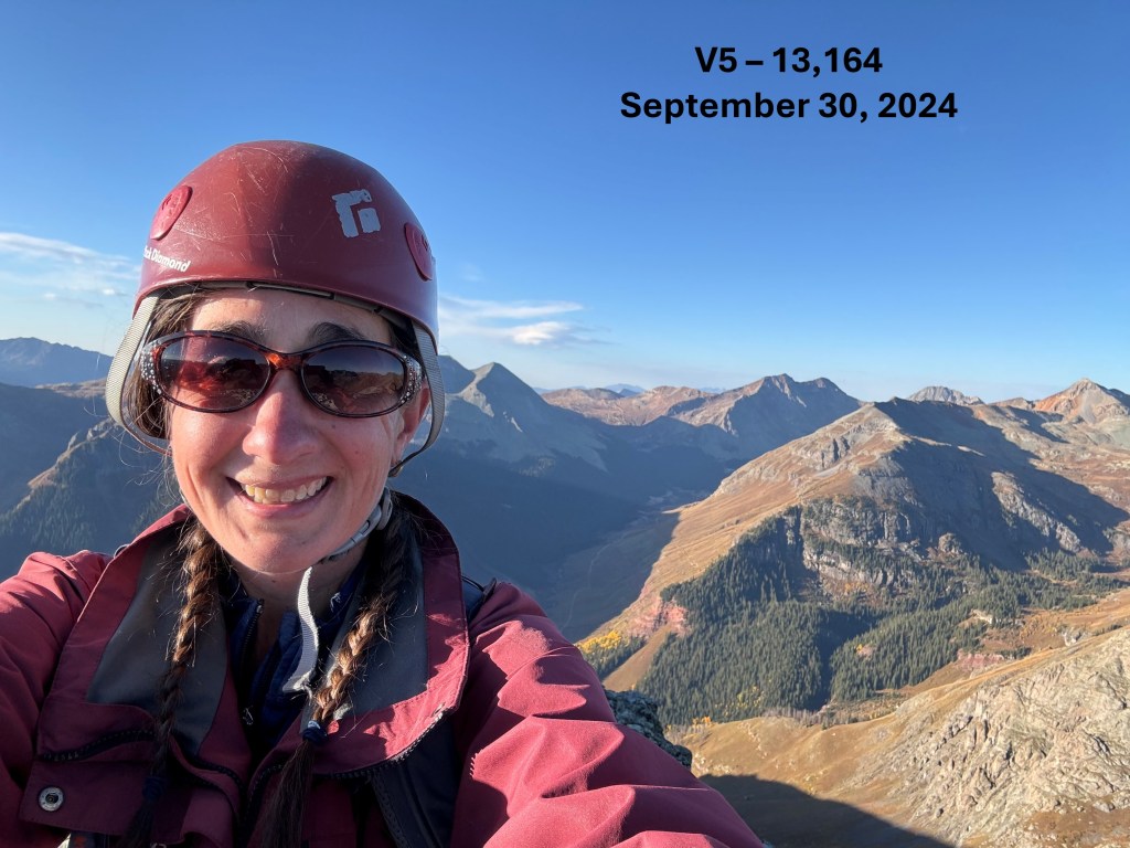
V5:
This was an out and back hike for me, so I turned around and headed back down the ridge.

Then it was back down the gully

And back to the scree, which turned to tundra, which took me to the mining road

I followed the mining road back to 12220’

And then hiked down the tundra to the road I could see below.

Once on the road, I hiked it back to my truck.

I made it back to my truck at 10am, making this a 9.05 mile hike with 3128’ of elevation gain in 4.5 hours
On to the next trailhead!
