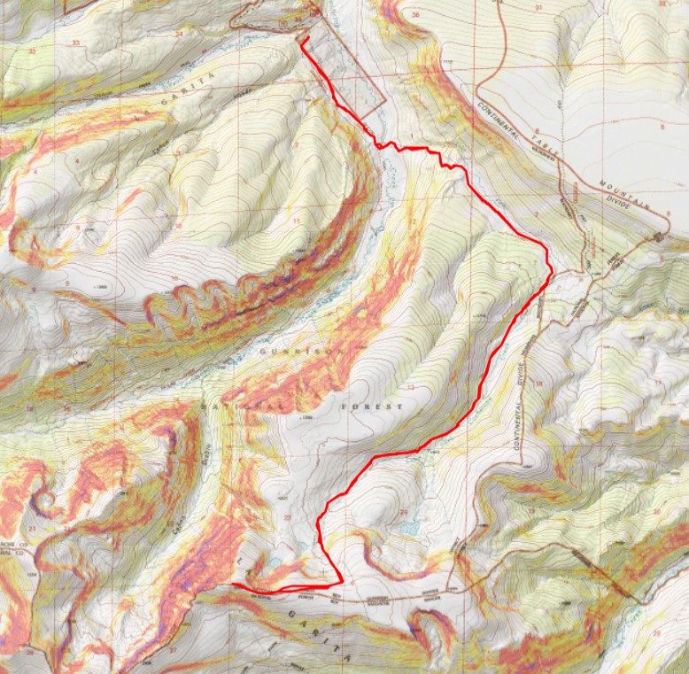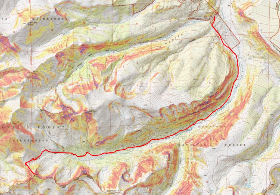
RT Length: 17.32 miles
Elevation gain: 3326′
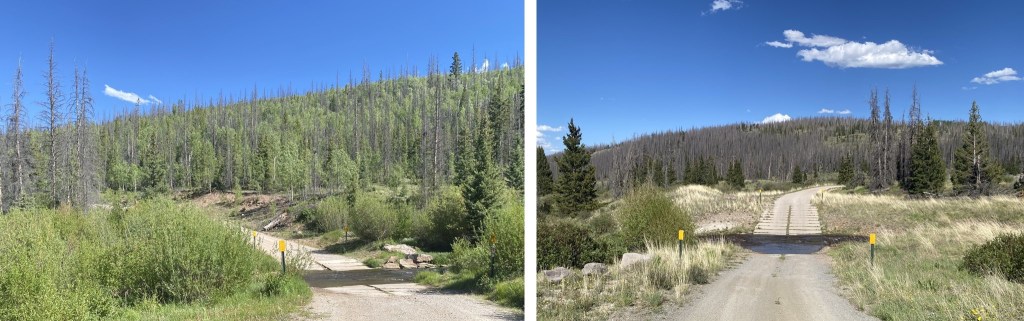
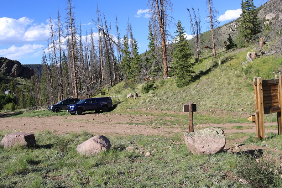
Day 2 of my trip staying at Eddiesville Trailhead. It was even colder this morning than last morning. I woke up to 33 degrees outside, but needed to get going. I got dressed and was on the trail at 5:15am. This trailhead can accommodate up to 10 vehicles if everyone parks nicely.

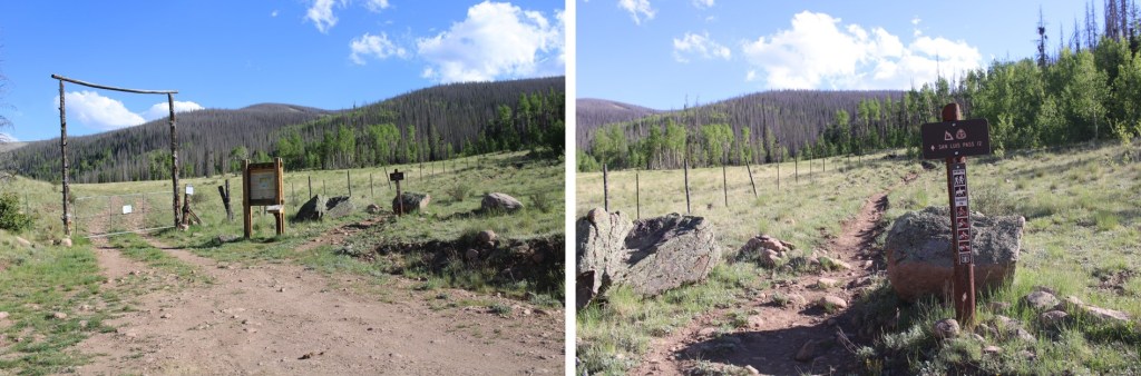
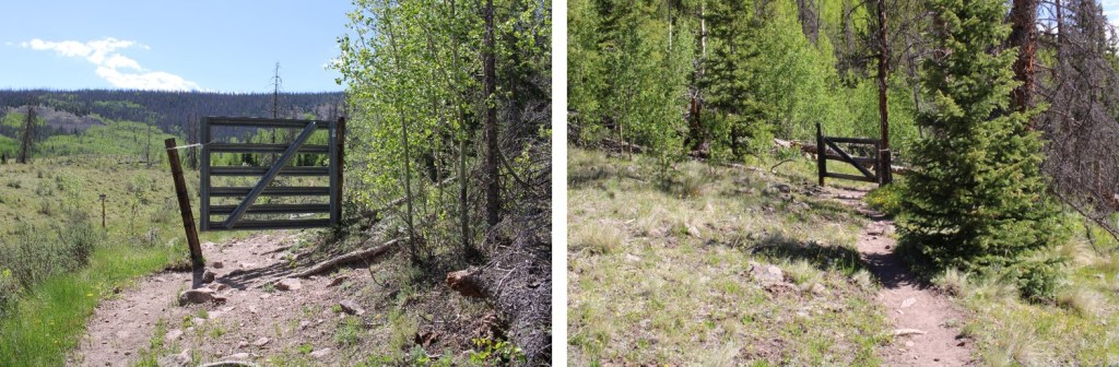
The trail starts at the south end of the parking area. This is also a Colorado Trail trailhead.

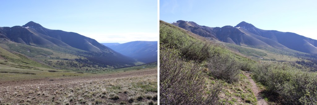
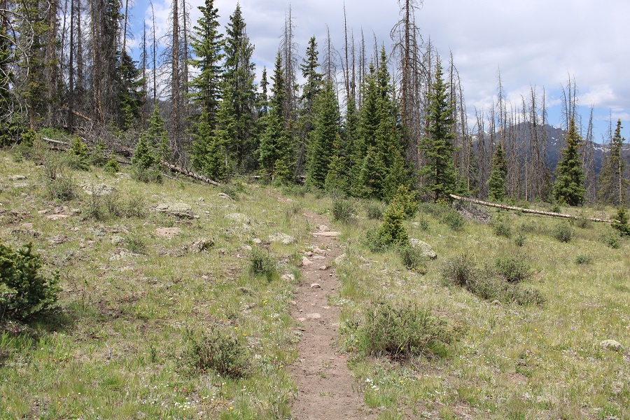
I followed the Colorado Trail southeast for about 1.25 miles

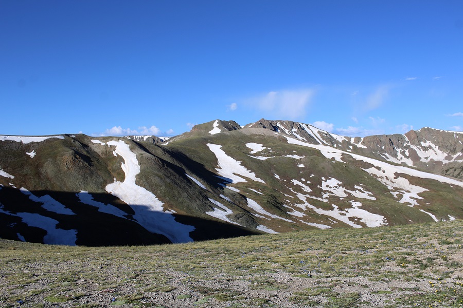
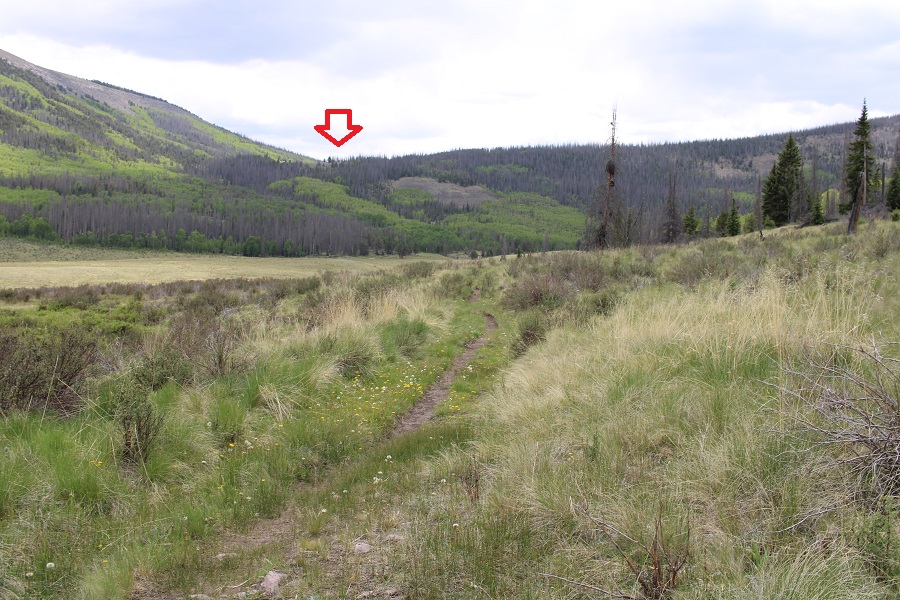
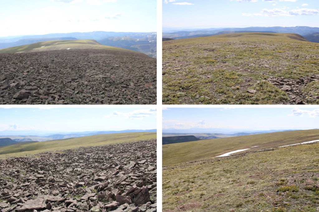
Just for reference, you’re eventually headed here
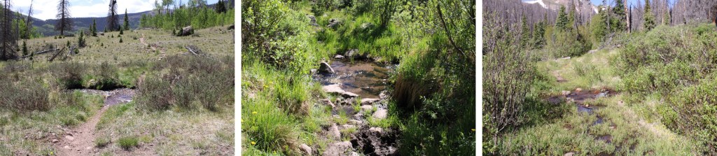
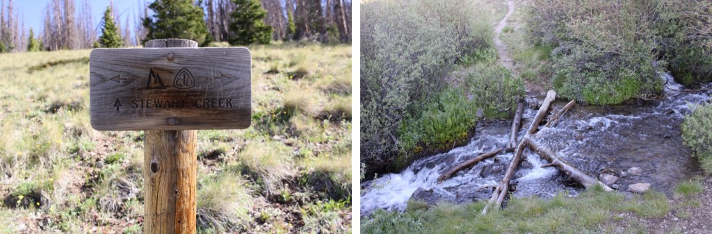
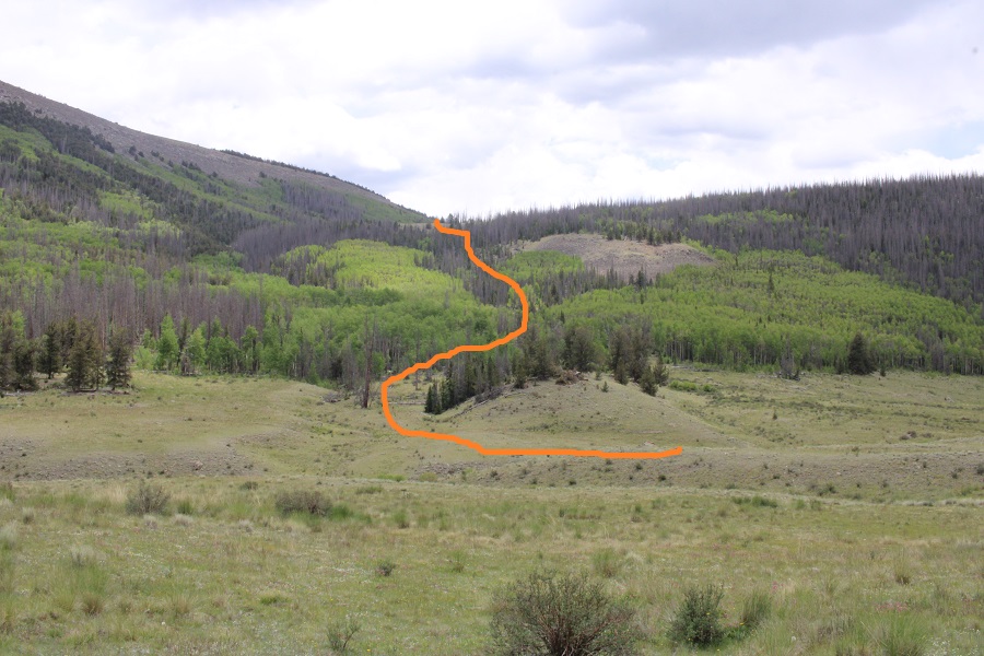
After hiking for 1.25 miles I left the trail. I turned left, and made my way down to the Cochetopa creek. If you look closely, you can see the trail on the other side, along with two wooden sticks that probably used to hold signs indicting which trail this was.

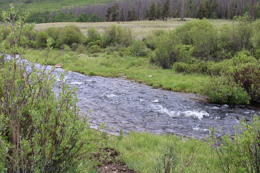
I crossed the creek, which was less than a foot deep.
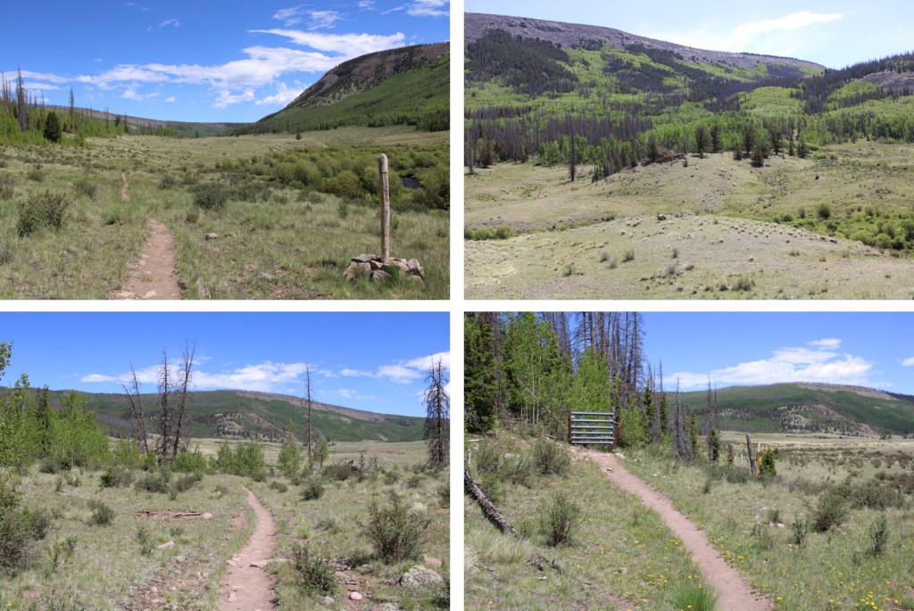
And picked up the 784 trail on the other side.
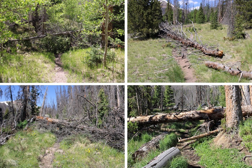
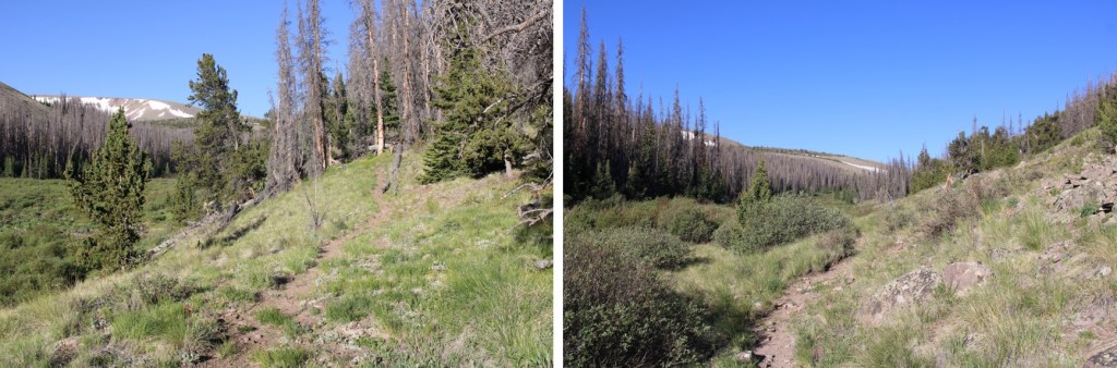
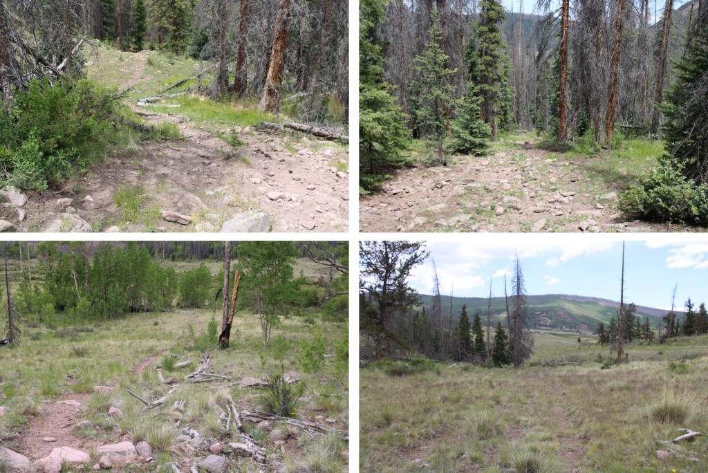
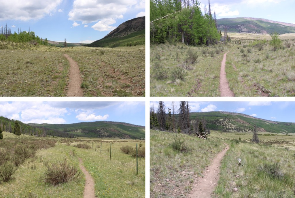
I use the term trail loosely. It starts off as a trail, then turns into kind of a road, then vanishes, then turns into 4 or 5 trails, then vanishes… you get my point. With careful route finding you should never lose the trail, but it’s difficult in the dark. Remember that picture I showed you earlier about where you’re headed? Here’s the overall route through the trees.
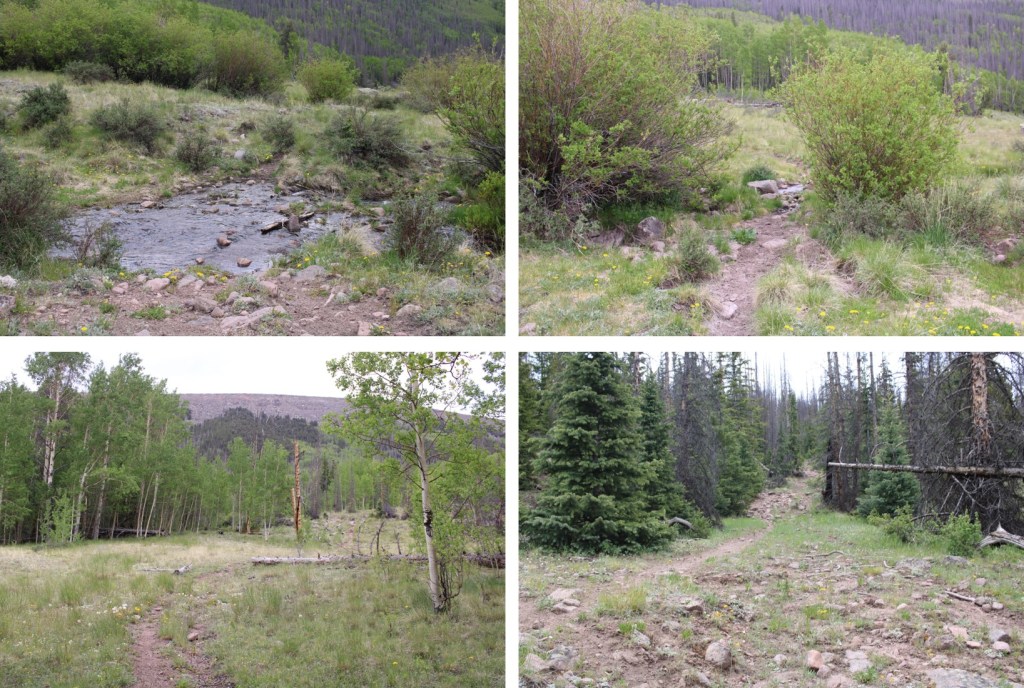
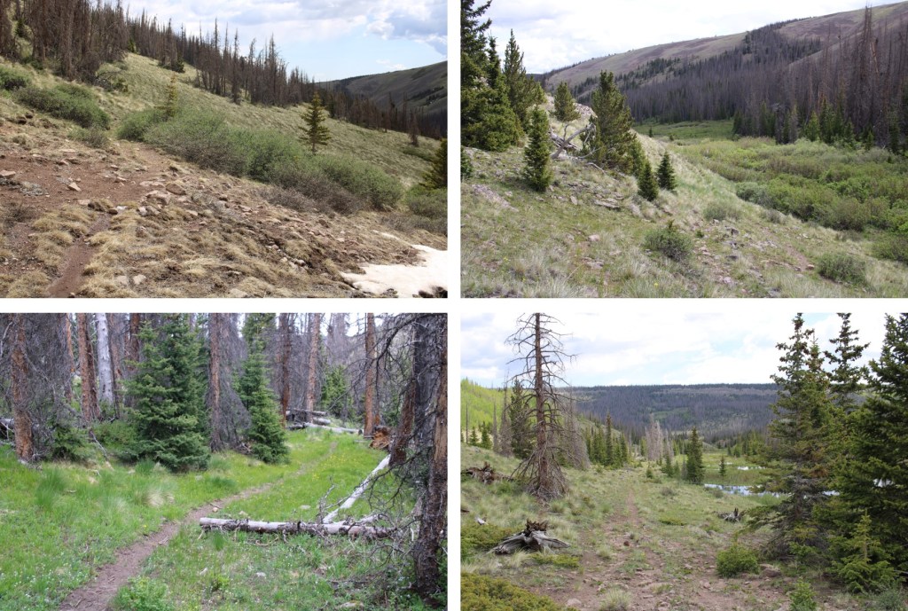
Here are some pictures of the way through the trees to the meadow
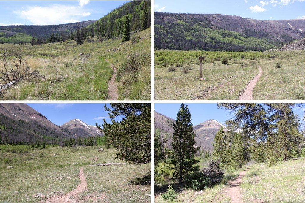
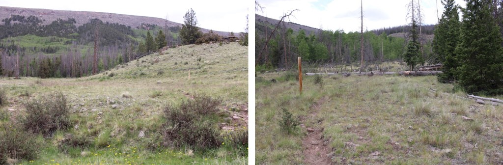
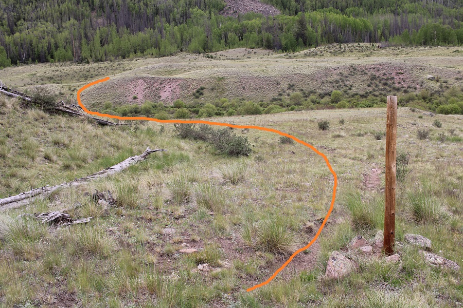
Once out of the trees I came to a rather large meadow, and followed the trail southeast for 1.25 miles. There are many trails here, presumably cattle trails. I always chose the one closest to the trees and was never disappointed.

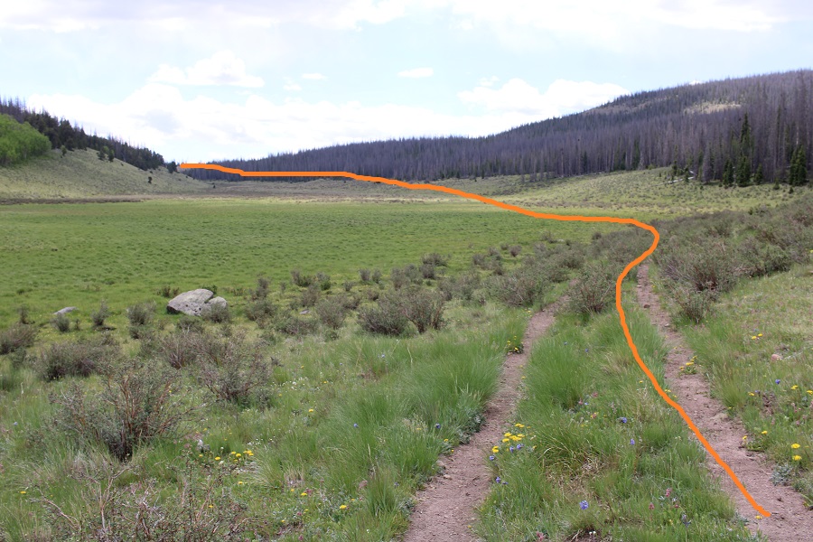
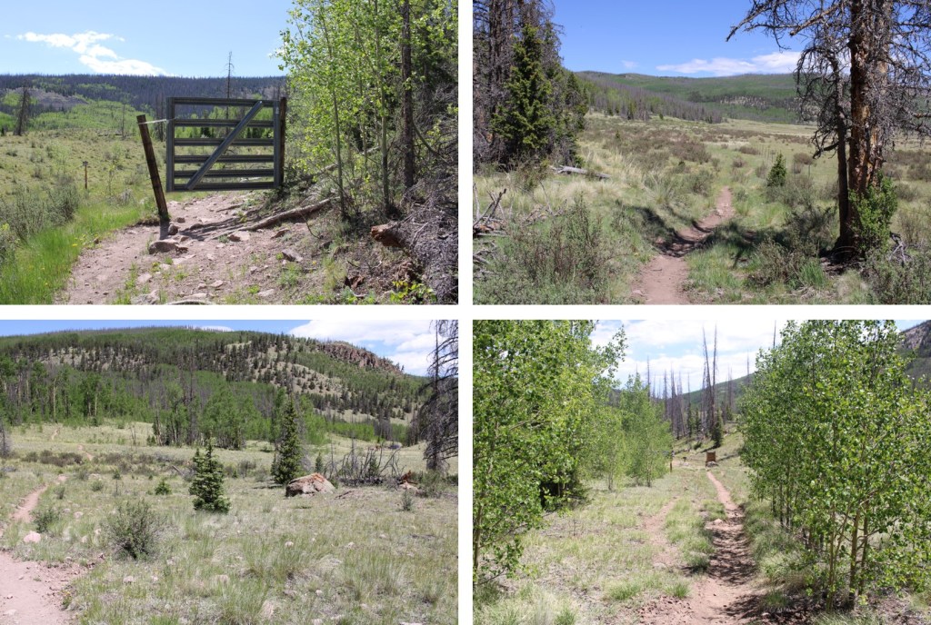
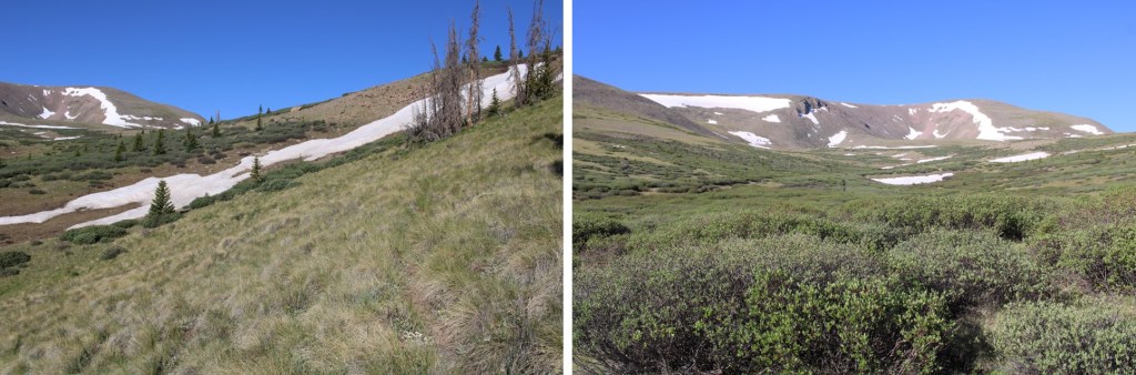
This meadow was 1.25 miles long. At 11,050’, after hiking for a total of 3.3 miles, I turned right and followed the trail southwest to the upper basin.

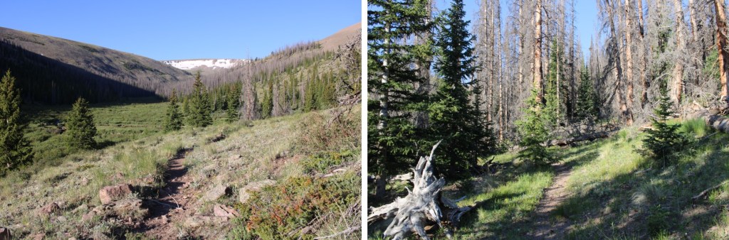
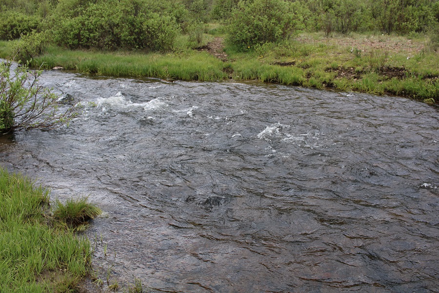
This is where the trail gets iffy. There are a lot of downed trees, and in some places the trail is wide, and in others it looks like a rabbit path, overgrown with grass and wildflowers. Just keep heading southwest, staying to the right of the Lake Fork Cochetopa creek. Here are some pictures of the terrain

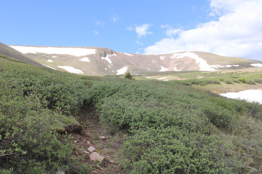
Once above treeline, I was deposited into a willow filled basin. There is a trail here, but once you lose it, it can be very difficult to find again. It’s more of an overgrown game trail. This is the path I took

Here are some step-by-step pictures
Yep, that’s the trail


I was headed for the gully to my left. I could see a game trail that would lead me to the ridge and looked snow free (it was)

I made my way up the gully, staying to the left of the snow
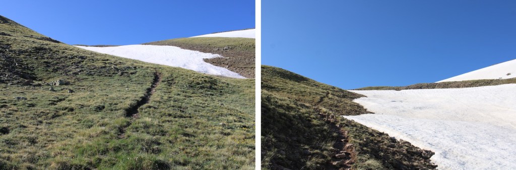
As soon as the snow stopped, I turned right and gained the ridge

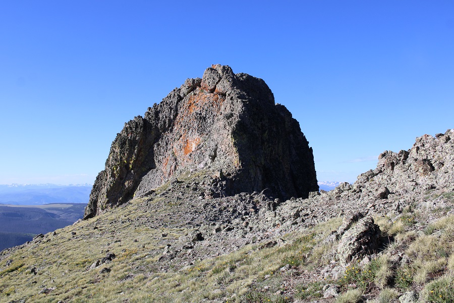
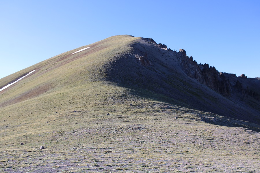
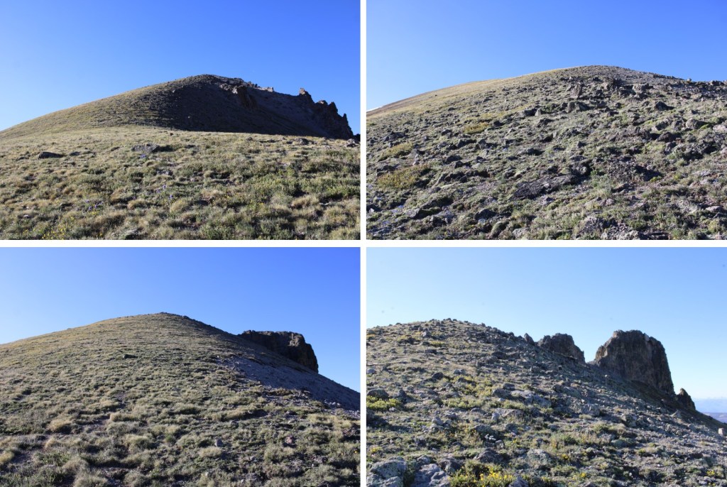
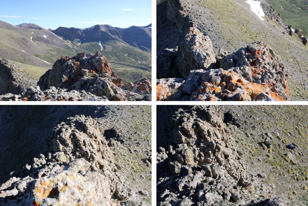
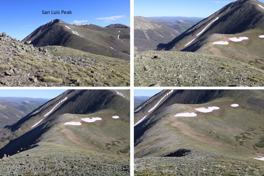
I followed the tundra and talus filled ridge east to the summit

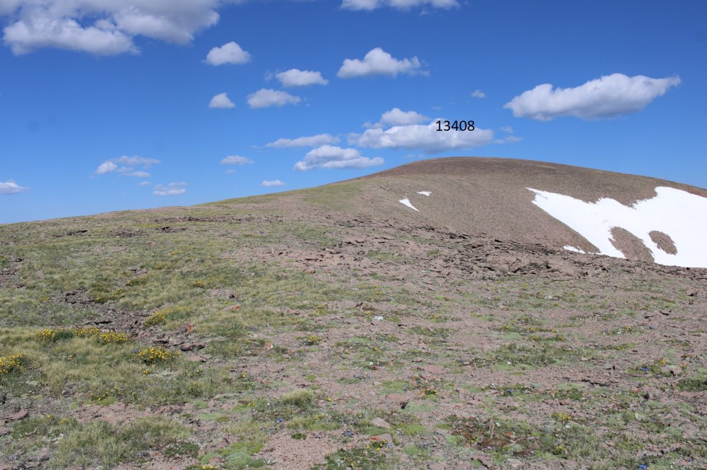
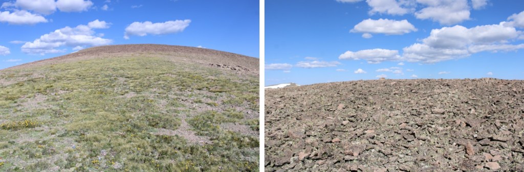
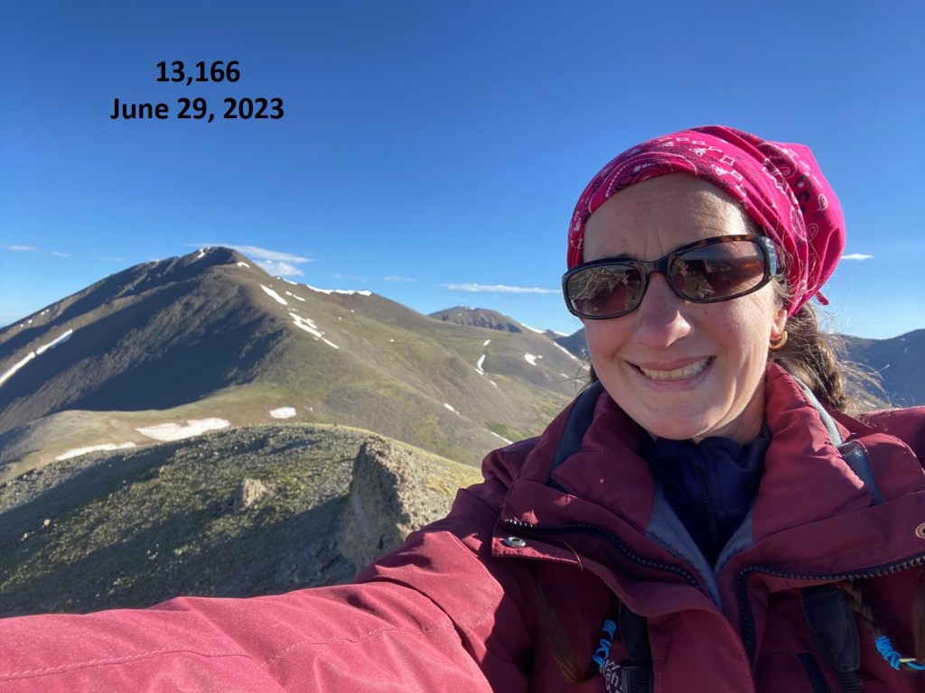
I summited 13,408 at 9:15am. Also, as you can tell by my bandana, it was windy.

13408:
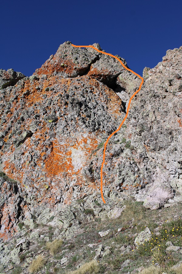
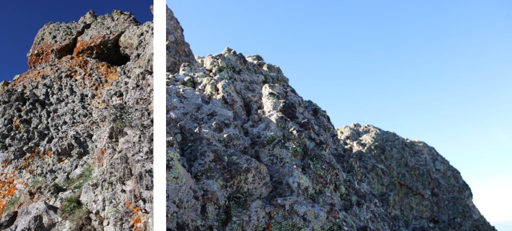
Be careful, there’s a lot of bailing wire littering the summit, which is easy to not see and trip on.

Ok, time to turn back. I retraced my steps back down the ridge to the gully
Then down the gully into the basin

Through the willows, back to treeline

From there I caught back up with the trail, and took it down to the meadow
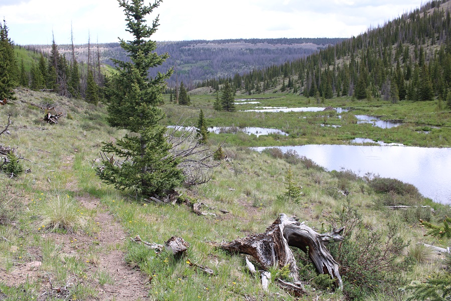
There were a lot of beaver dams and lodges along the creek

At the meadow I turned left, and followed the trail back down into the trees

Now the trail was easy to follow back to the creek
I crossed the creek slowly. In fact, I stood in the middle for a few minutes to cool off my feet
The Colorado Trail was waiting for me on the other side. I followed it northwest to the trailhead

I made it back to my truck at 12:15pm, making this a 17.32 mile hike with 3326’ of elevation gain in 7 hours.