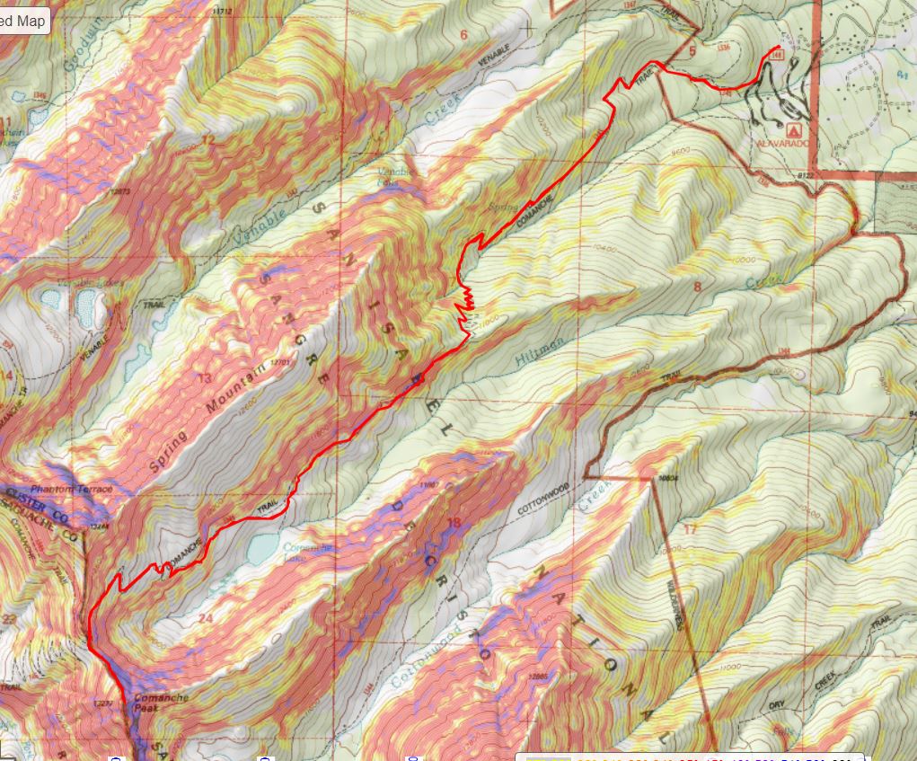
RT Length: 14.24 miles
Elevation Gain: 5572’
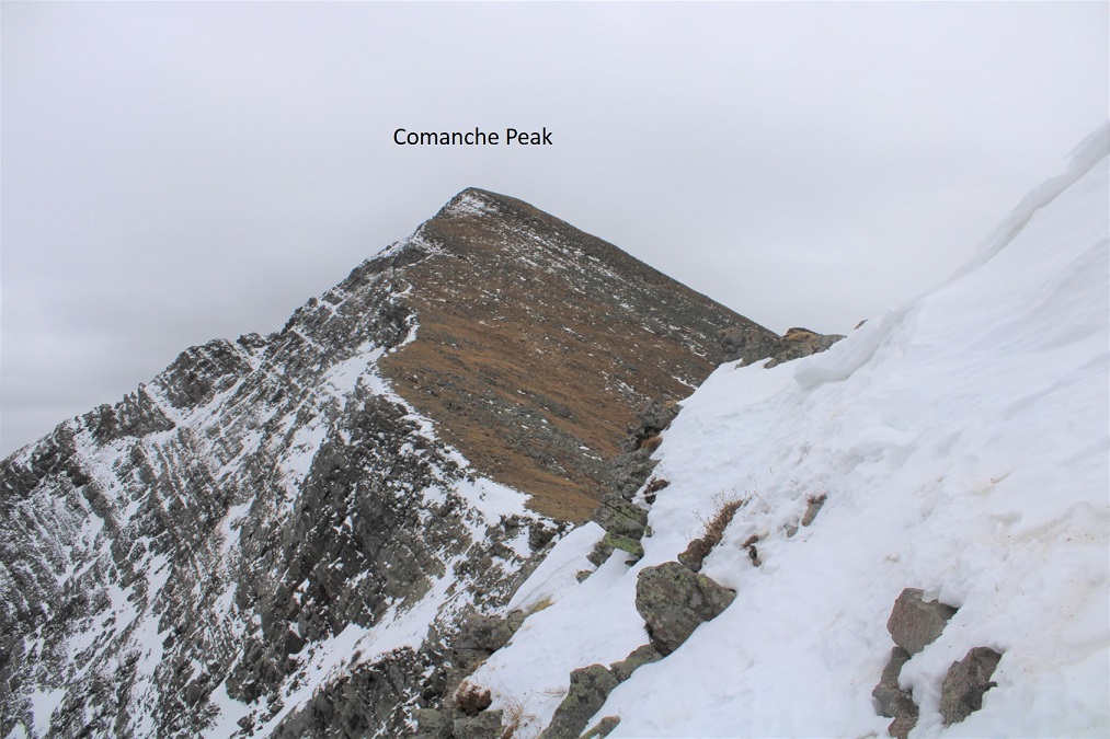
This was my third attempt at Spring Mountain and Venable Peak. My second attempt was just yesterday, when I turned around about 200 feet from the saddle, coming from Venable Trail (trip report can be found here). This morning I was attempting to summit via the Comanche Trail, which I had used successfully earlier in the week to summit Comanche Peak (trip report can be found here). Of course, it had been snowing on my way out, but it hadn’t snowed since then. I was crossing my fingers for fair conditions on the trail since the last storm.
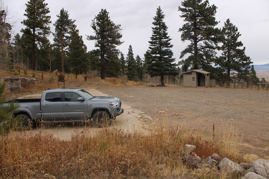
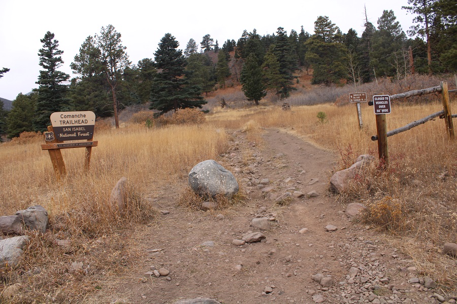
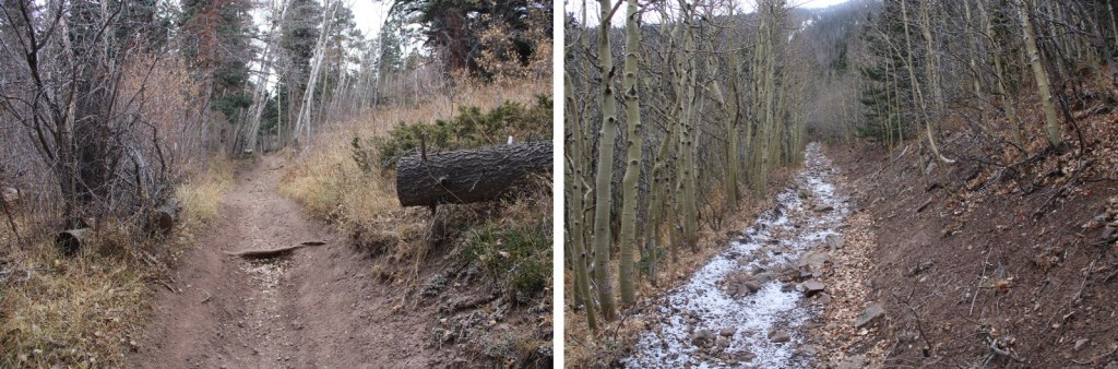
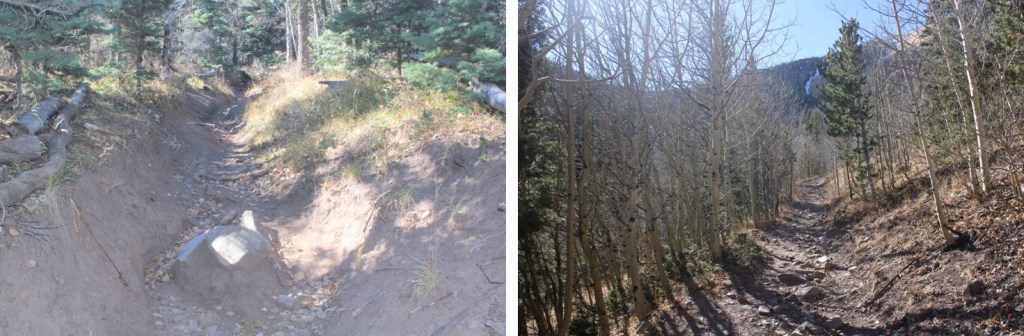
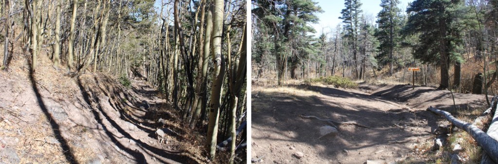
There was one other vehicle in the lot when I woke up. I took my time getting ready, and was on the trail at 6am. The trail is obvious from the parking area.

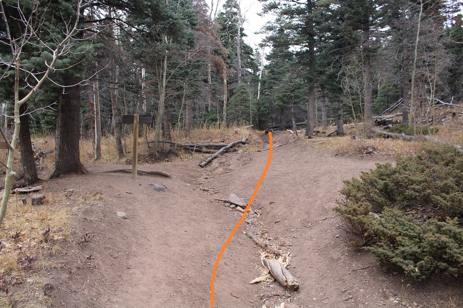
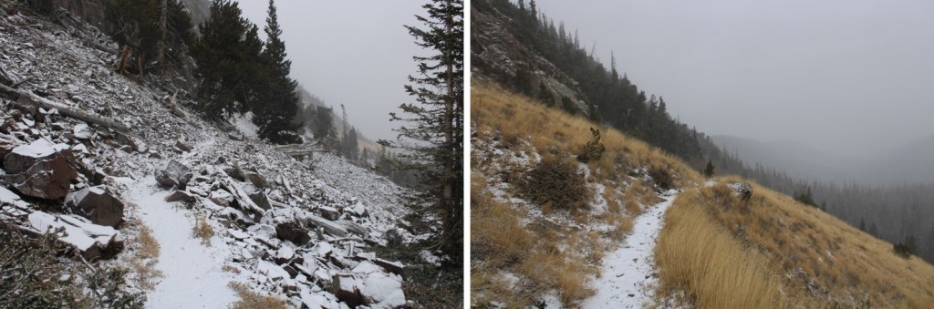
I followed this wide, class 1 trail for half a mile to the Rainbow Trail/Comanche Trail junction

At the Rainbow Trail/Comanche Trail junction I continued straight on the Comanche Trail (1345)

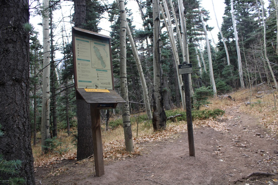
Just after the junction there was a trail register. I registered and was on my way
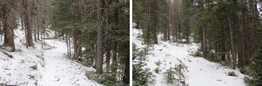
From here on out the trail was narrower, but it was still class 1. I followed the trail southwest as it headed toward Comanche Lake
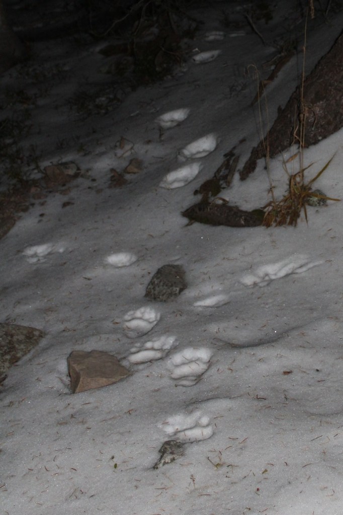
I saw snow on the trail around 10600’ and noticed a set of tracks. It looked like someone was ahead of me on the trail. I wondered how long it would be until I ran into them?
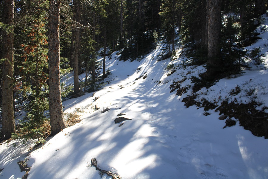
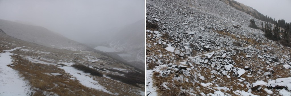
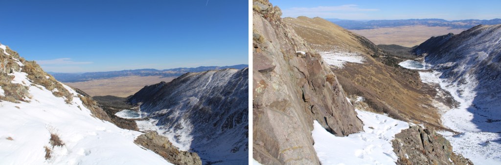
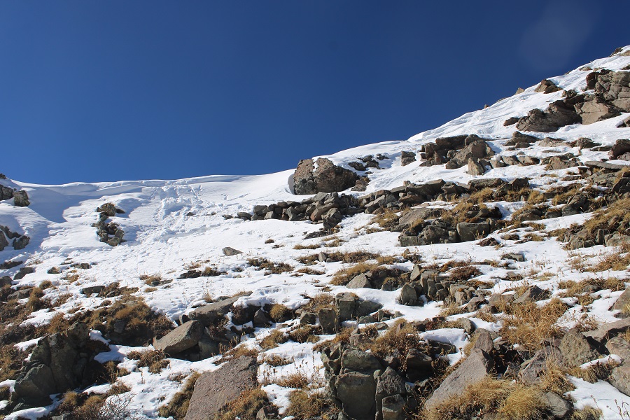
The snow continued off and on until I made it to the upper basin, where it was on the trail for good.

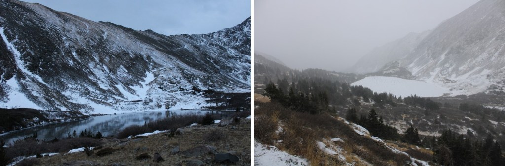
After 4.3 miles of hiking, I made it to Comanche Lake
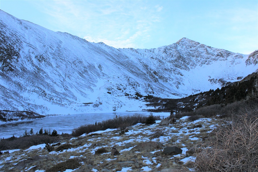
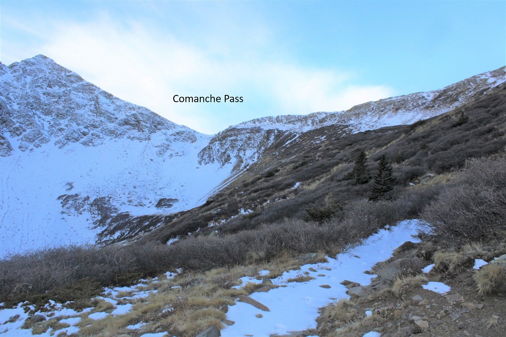
I continued on the trail. I was headed for Comanche Pass
The trail, while under several inches of snow, was easy to follow.
Just before making it to the pass I overtook the hiker ahead of me. It was my turn to do the trenching! I followed some coyote tracks to the pass. The snow here was never more than knee deep, so I didn’t bother with snowshoes/traction.

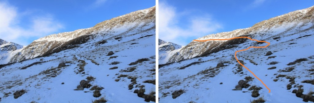
I’d done this peak a few days ago, and knew I wanted microspikes and an ice axe to get over the cornice. I sat down to put them on, and my new hiking buddy continued on the lower trail to the Comanche/Spring saddle (he was summiting Comanche today). The cornice was just as sugary as it had been on Tuesday, which made for a fun time.

It was 5.8 miles of hiking to the pass. Once over the cornice I turned right and headed north along the ridge. This is where the wind picked up, and didn’t stop until I made it back down the pass on my way out.
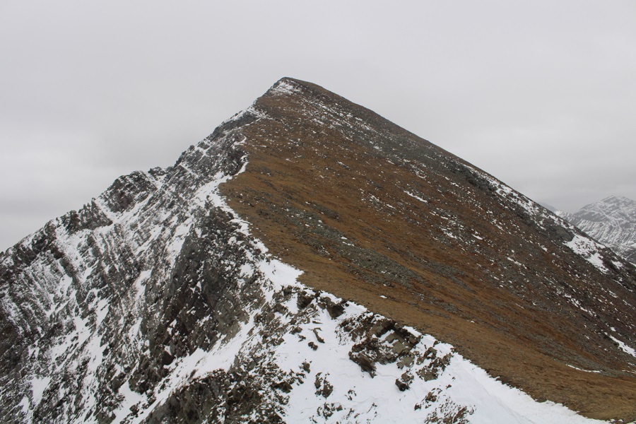
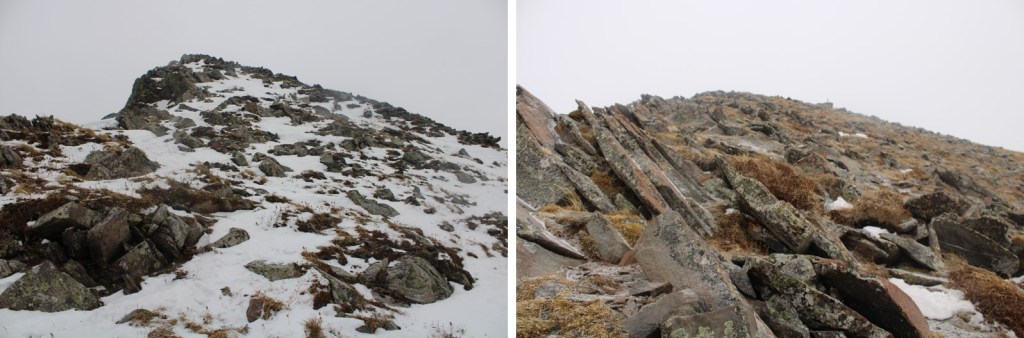
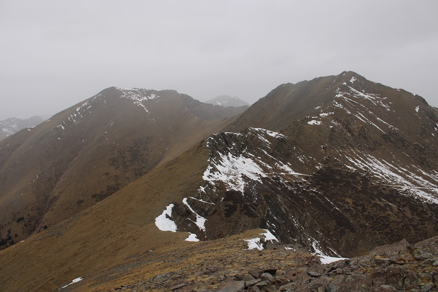
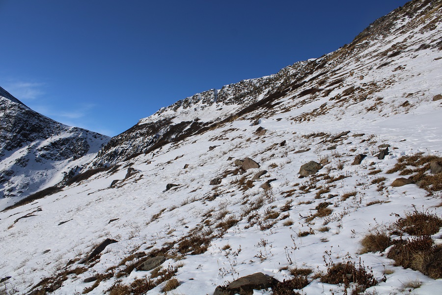
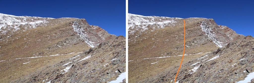
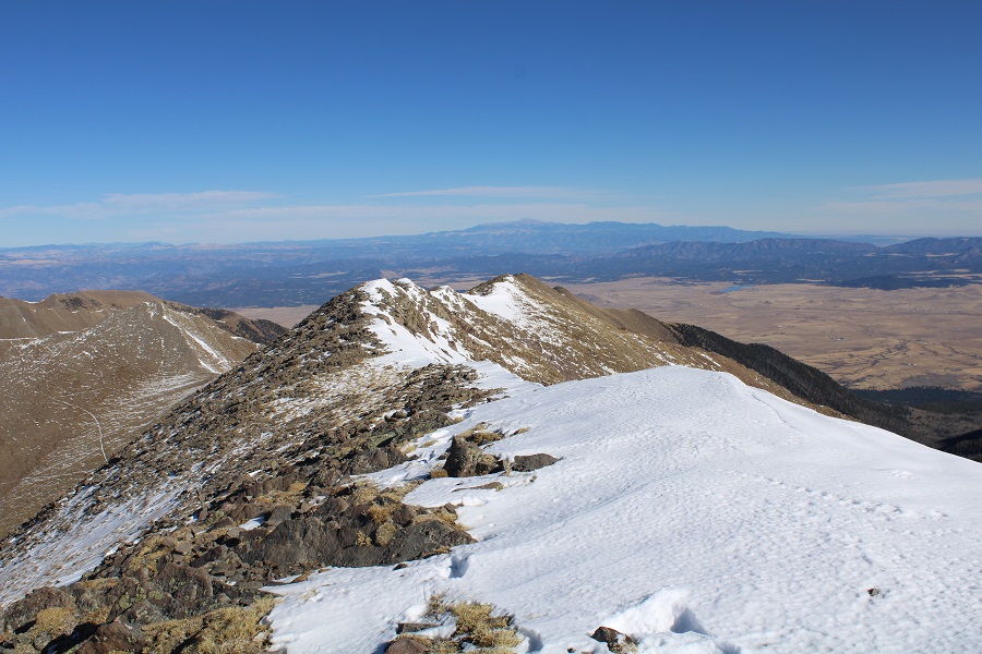
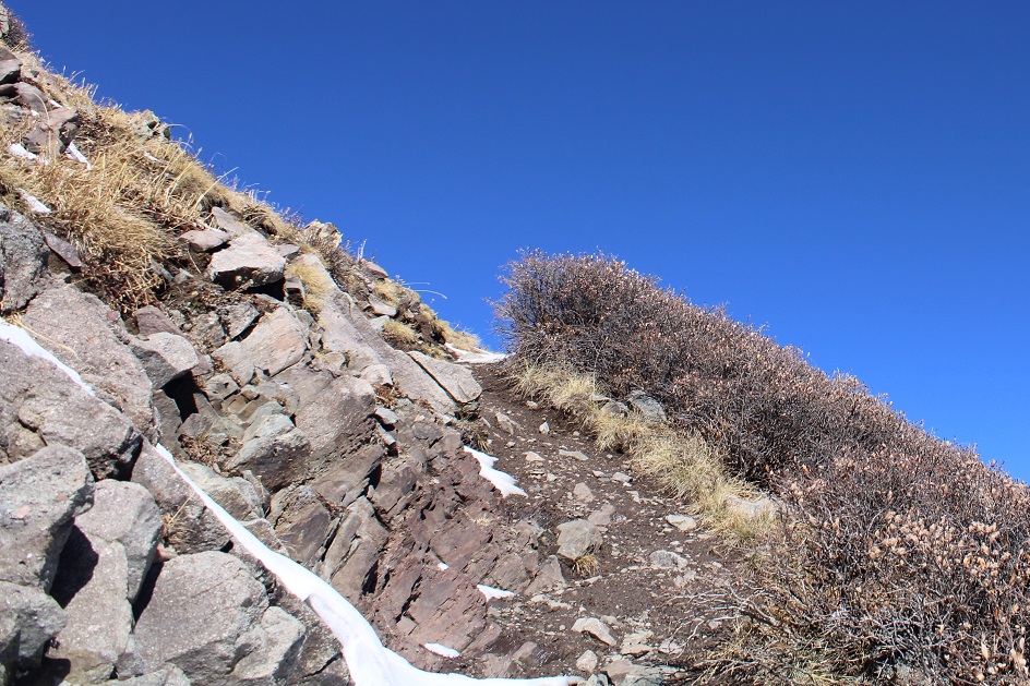
The terrain here started as tundra, but quickly turned rocky. It stayed class 2.
I mainly stuck to the ridge, dipping down left in the rocky areas, and to the right just before the summit. If I looked left, I could see the trail I’d be taking on my way out (the only place the snow was sticking on this side of the mountain)
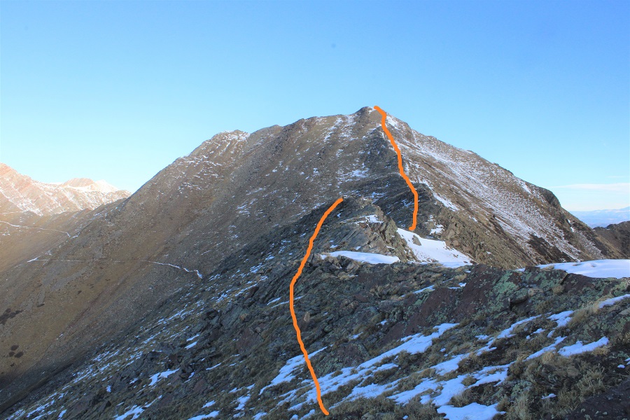
Here are some more pictures of the route up the ridge
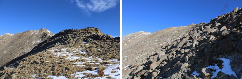
The rocks here were unstable, so I had to be careful with every step
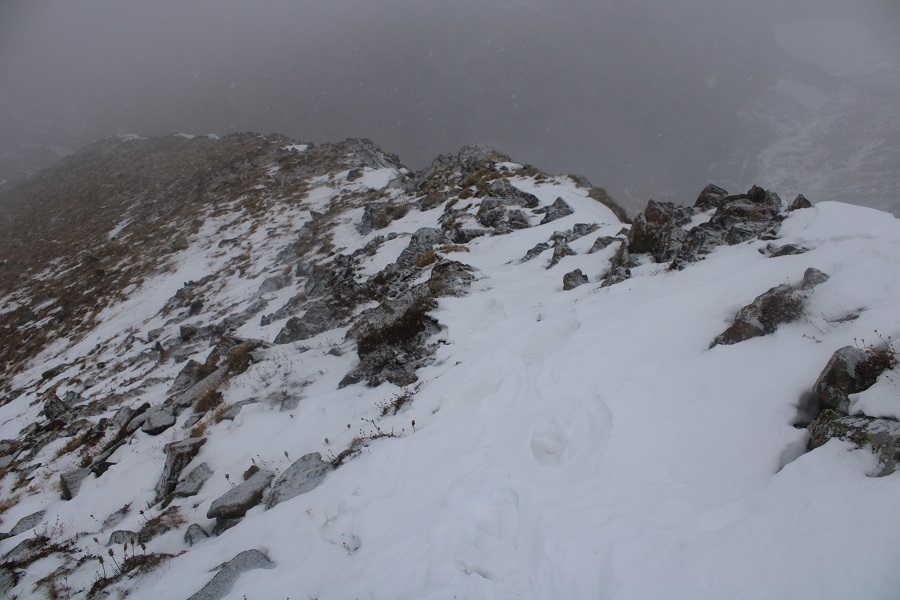
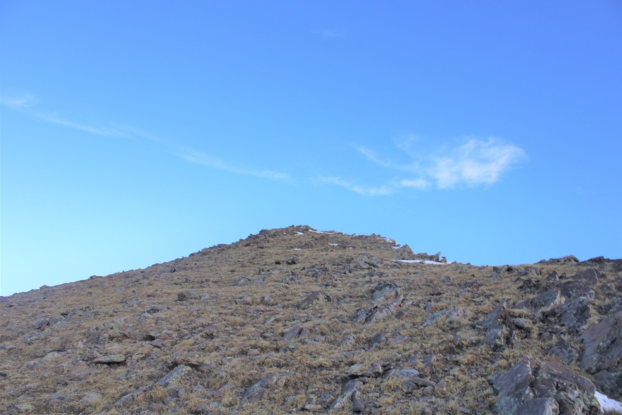
There was a little bit of snow the final push to the summit

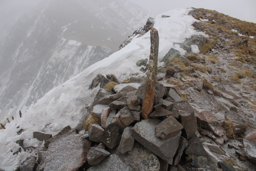
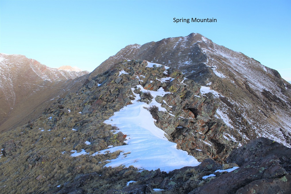
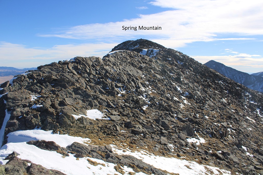
I summited Spring Mountain at 10am
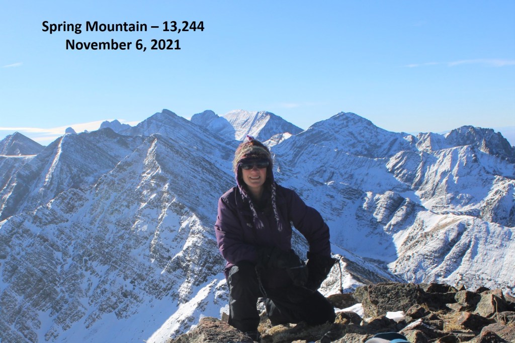
Spring Mountain:
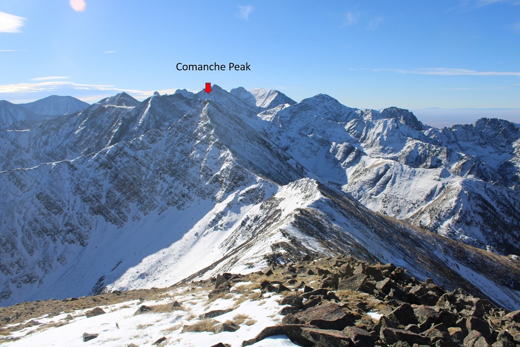
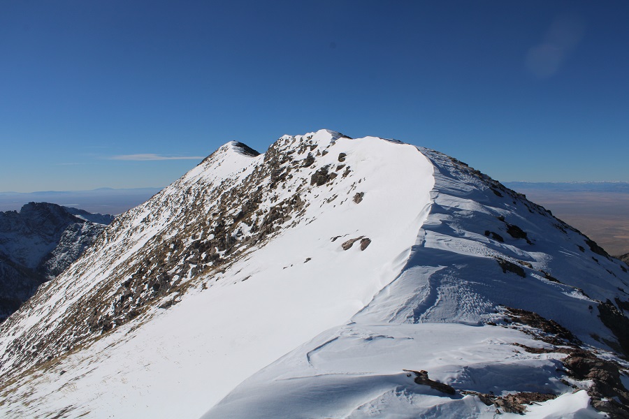
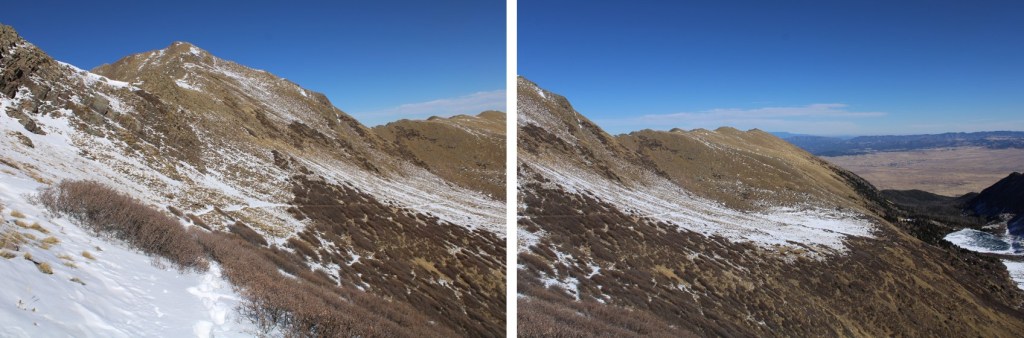
Here’s looking back at the ridge, Comanche Pass, and Comanche Peak
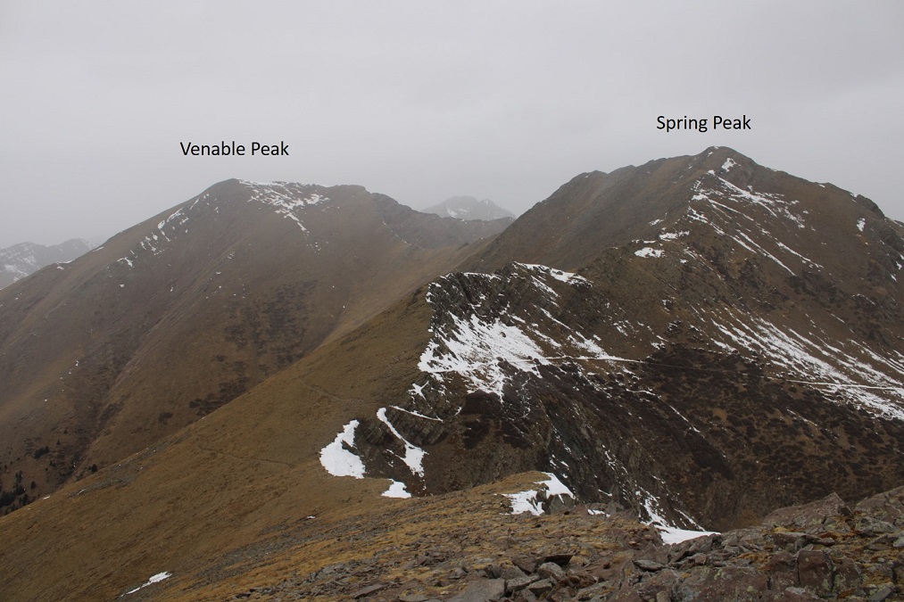
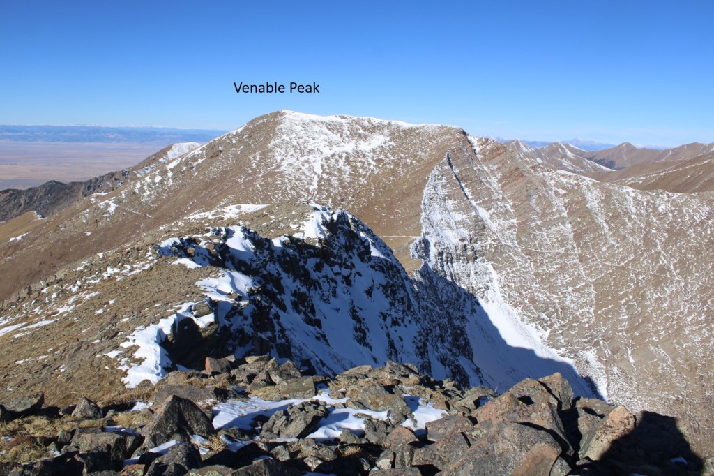
Next, I was headed to Venable Peak, directly to the west.
I made my way down to the Spring/Venable saddle, losing about 500’ in elevation over rocky terrain, all class 2

Here’s looking back at that rocky terrain coming down from Spring Mountain
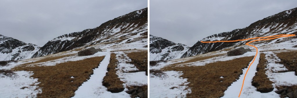
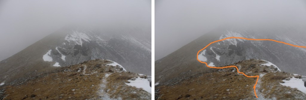
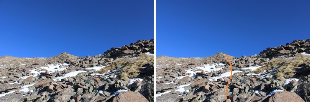
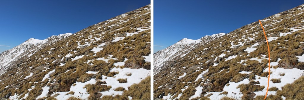
This is the path I took to summit Venable Peak. I took the solid line up, the dotted line down. The entire area is class 2, so choose your own adventure
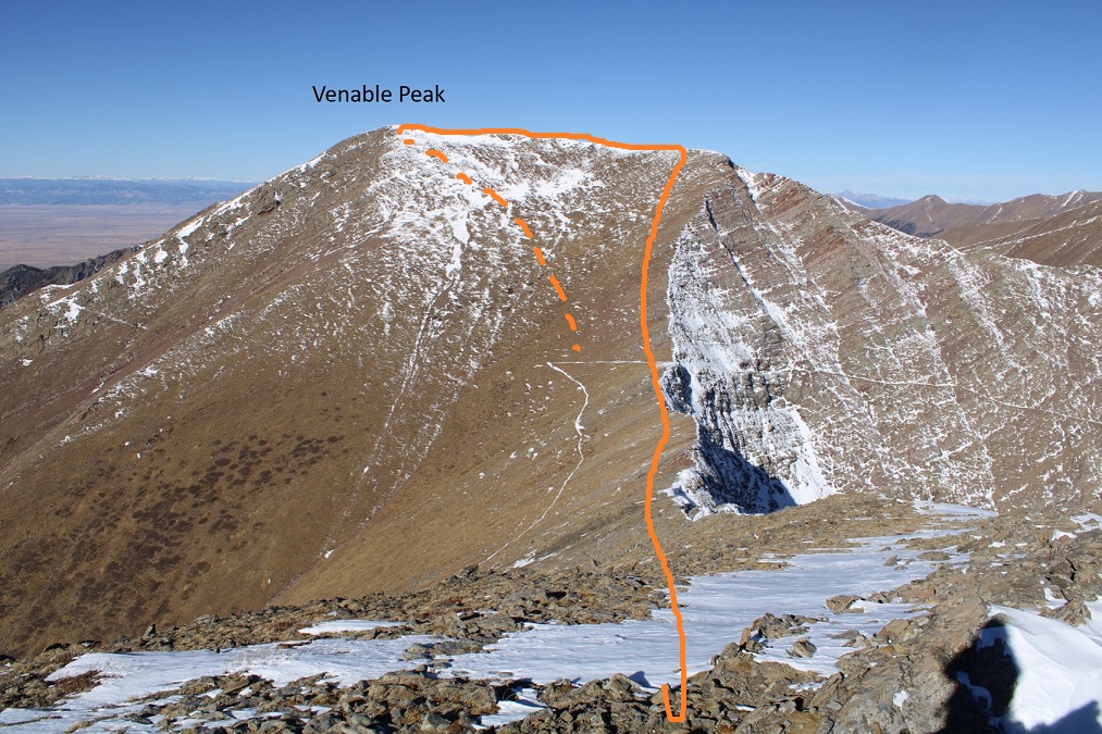
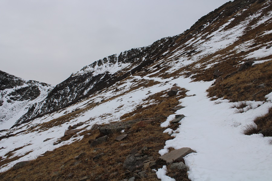
Step by step to the ridge, gaining about 580’. The terrain started out rocky, and then turned to tundra
Once on the ridge, I followed it southwest to the summit. The snow was sugary, so I stayed a bit to the right, near the rocks
I summited Venable Peak at 11am

Venable Peak:
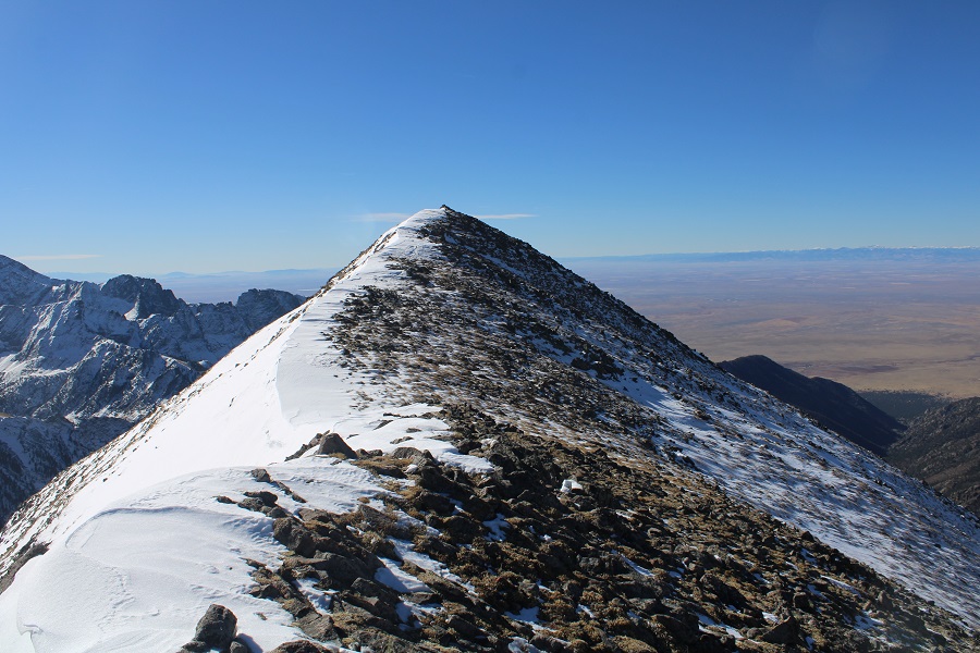
Here’s looking back at Venables ridge
From the summit, I headed east, towards the highly visible Comanche Trail. I was aiming for Comanche Pass
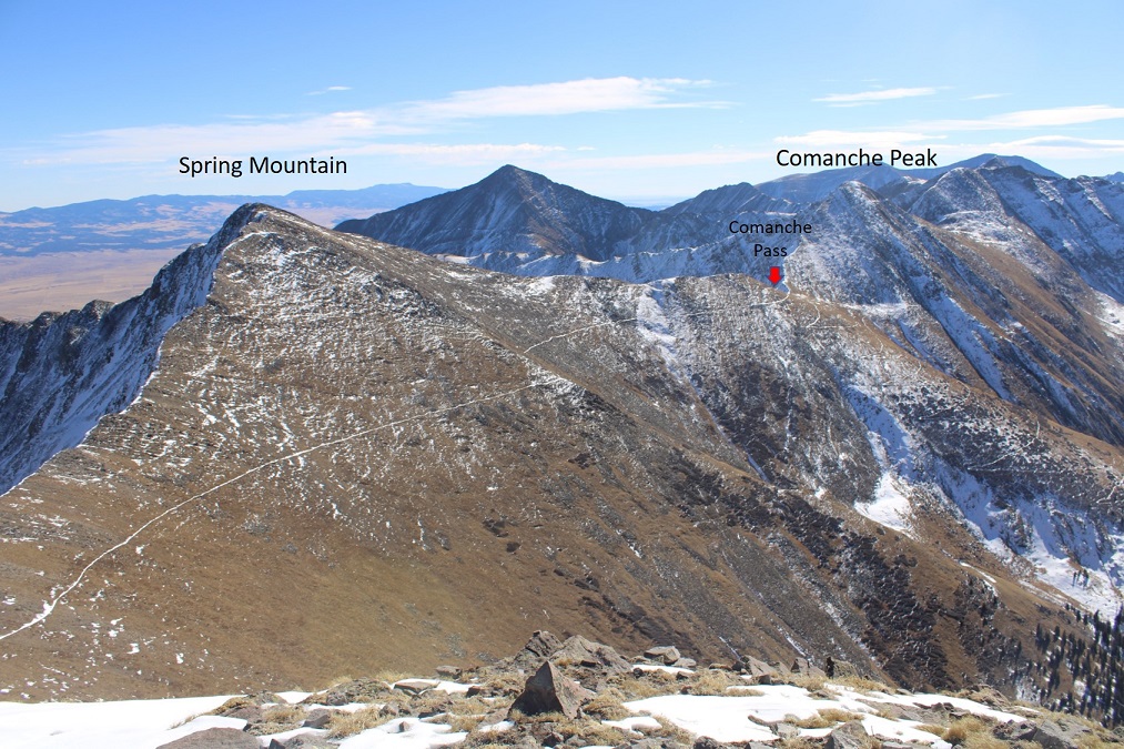
I made my way towards Comanche Trail on class 2 tundra sprinkled with patches of snow
And then followed the trail south to Comanche Pass


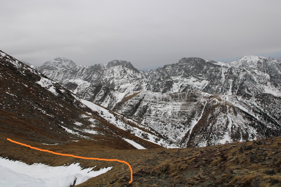
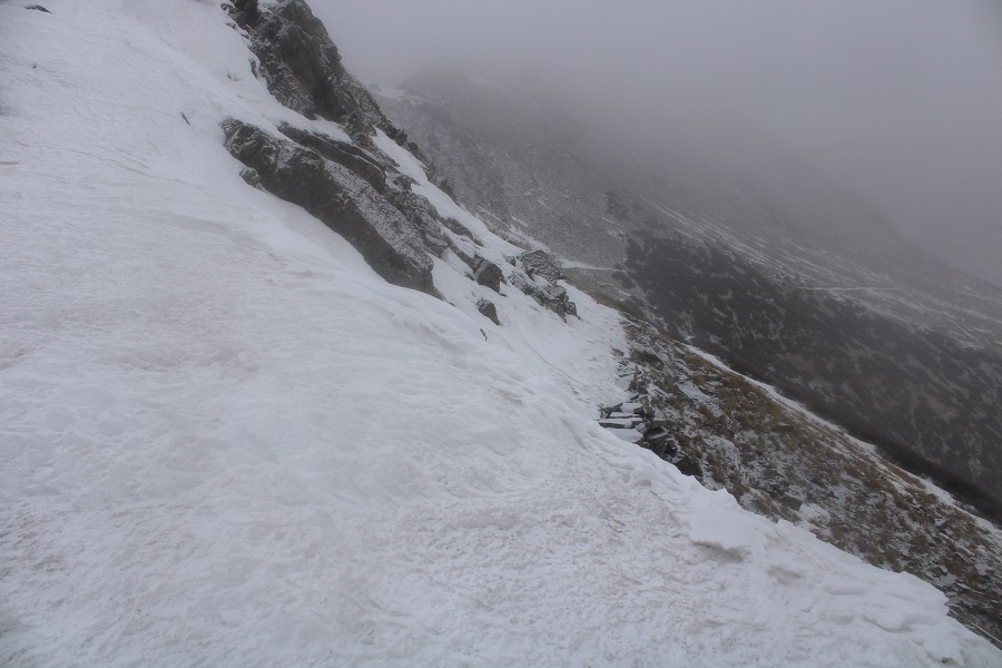
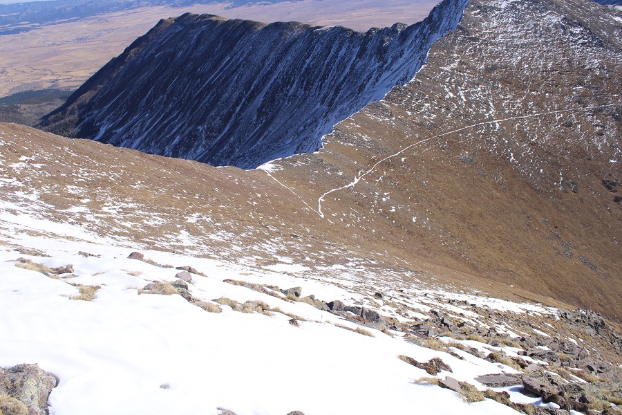
Once at the Comanche/Spring saddle I turned left, and took the trail that goes below the cornice (it’s located near the willows). I didn’t want to take the cornice back down, as it had been unconsolidated on my way up; I felt later in the afternoon it would be even more difficult to downclimb.

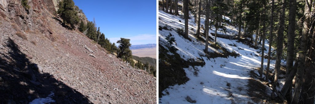
Here’s looking back up at that cornice (the trail is directly below the cornice)
From the pass I followed the class 1 trail 5.8 miles back to the trailhead.

I made it back to my truck at 1:30pm, making this a 14.24 mile hike with 5572’ of elevation gain in 7.5 hours.

On to the next trailhead!