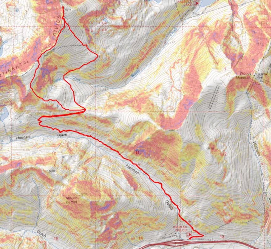
RT Length: 7.82 miles
Elevation Gain: 2760’
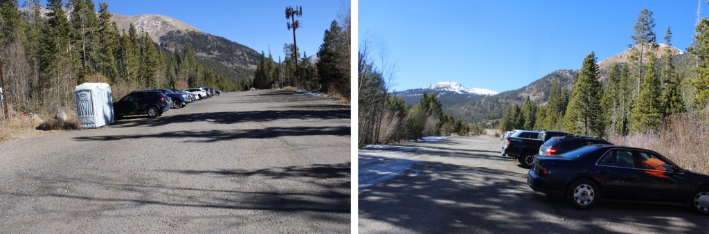
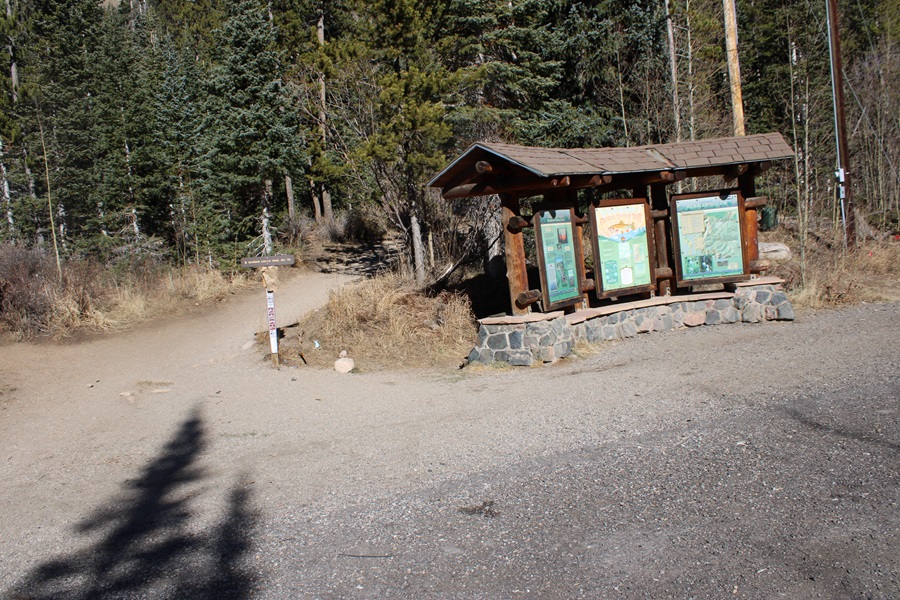
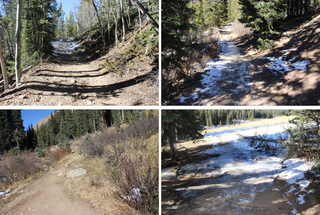
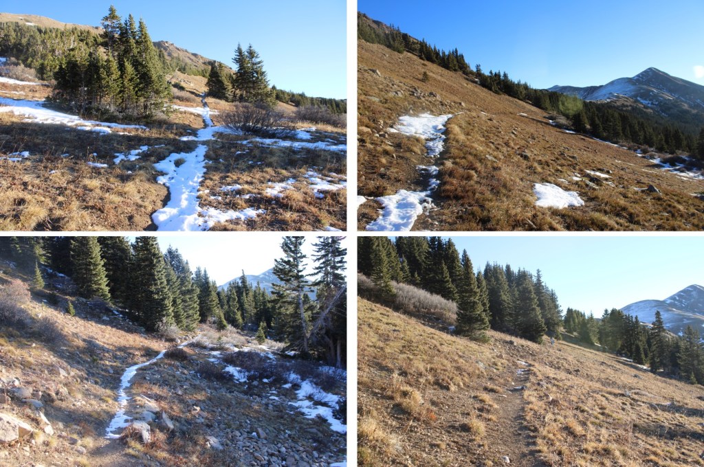
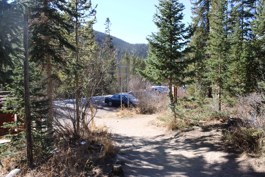
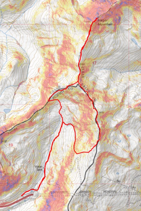
I parked behind some semis at the I-70 MM 213 Westbound Chain Station and was on the trail at 6:20am. I started by taking a paved service road northeast.
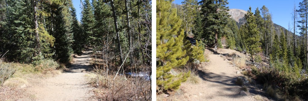
The road eventually becomes a dirt road
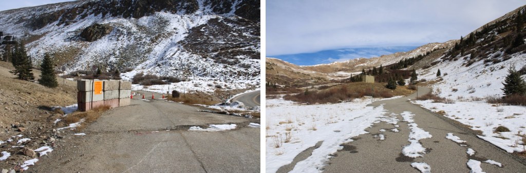

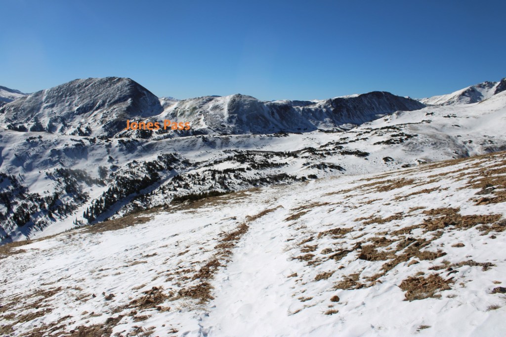
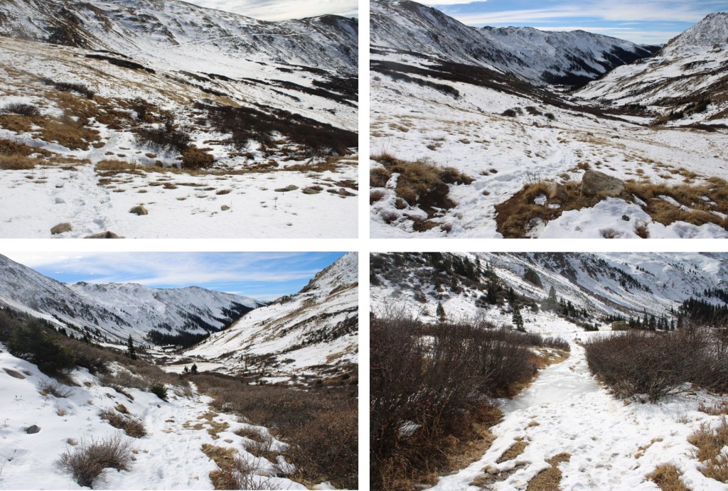
The dirt road quickly becomes a trail, and this morning that trail was filled with a couple of inches of ice. The kind that microspikes slip on. I followed it as it headed northeast into a basin

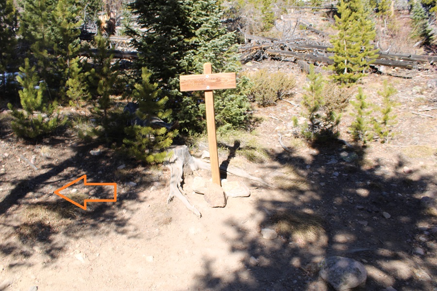
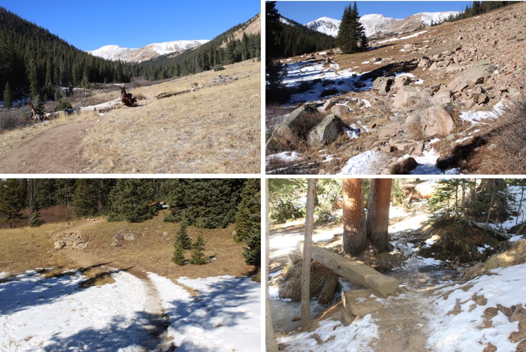
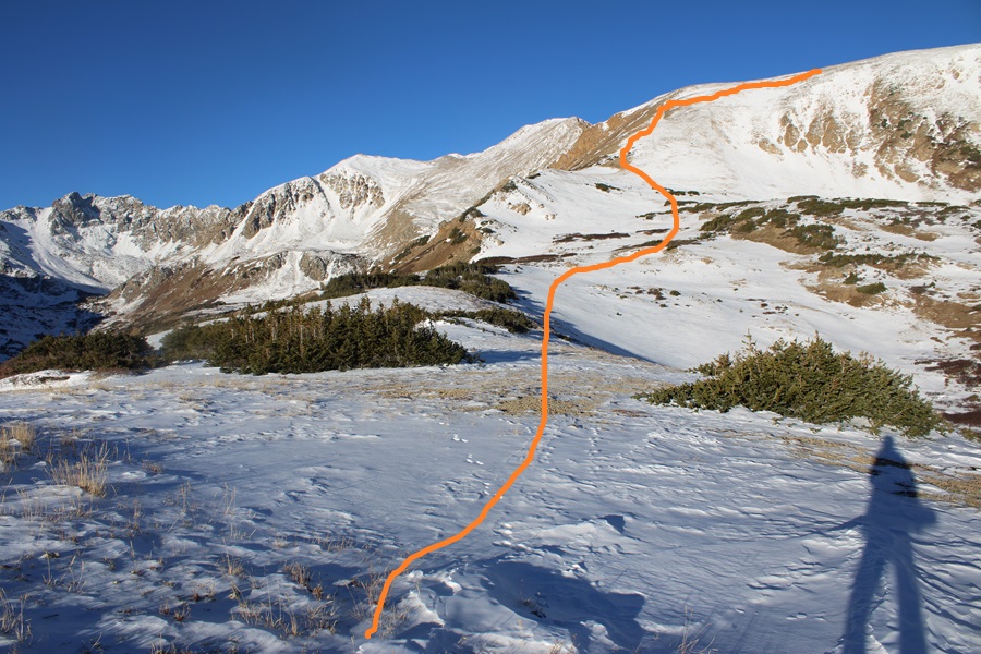
After hiking for 1.3 miles I came to a service road and turned right to follow the road towards the ridge.

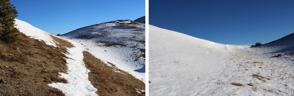
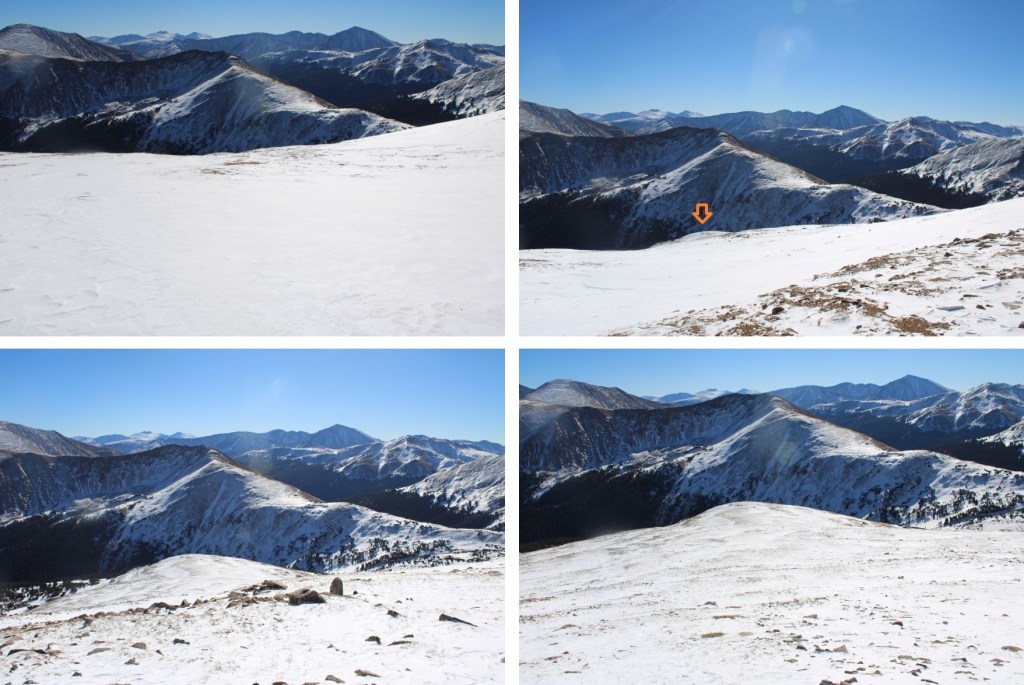
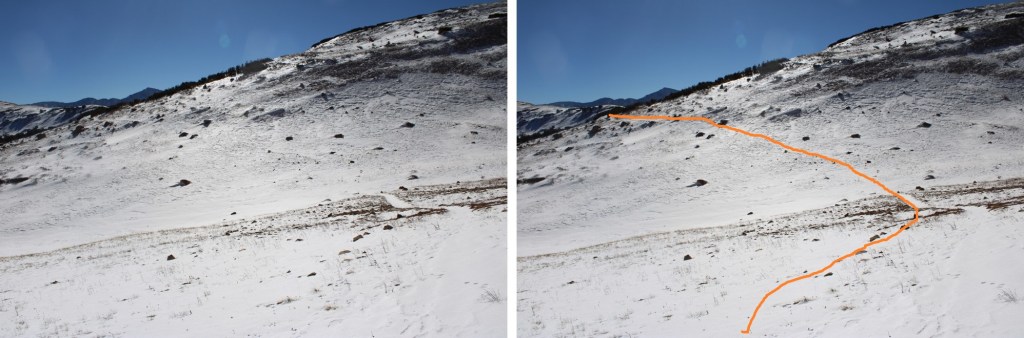
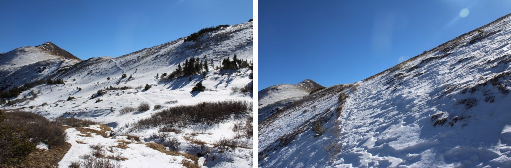
As you can see from further away, this road goes all the way to the ridge.

However, I did not take the road to the ridge. The road was full of several feet of snow, but the mountainside only had a few inches of snow, so instead of trenching the route, I headed east towards the ridge. This is the route I took.
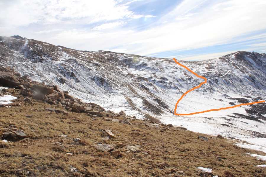
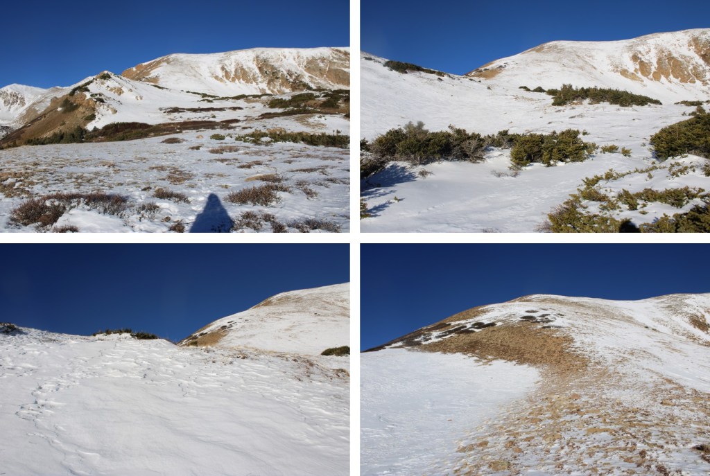
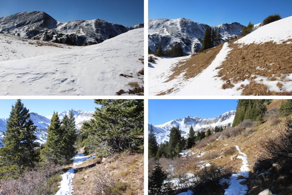
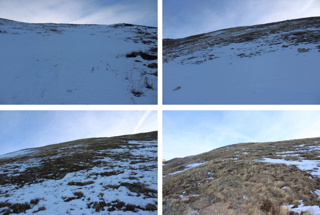
Here are some pictures of the road
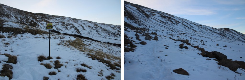
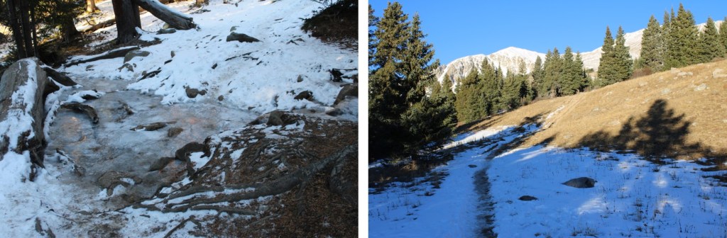
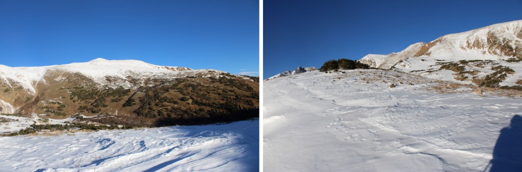
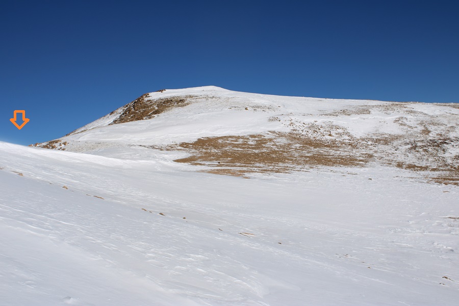
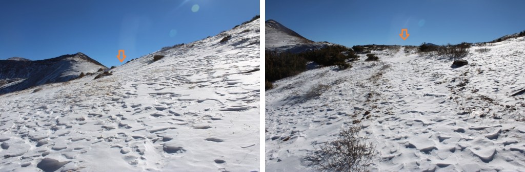
At 12160’ I left the trail and headed up towards the ridge
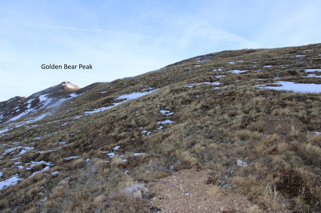
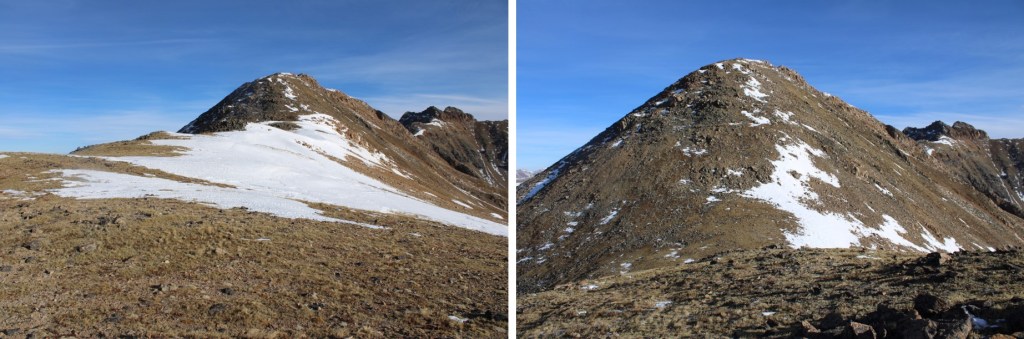
I could now see Golden Bear to my left.
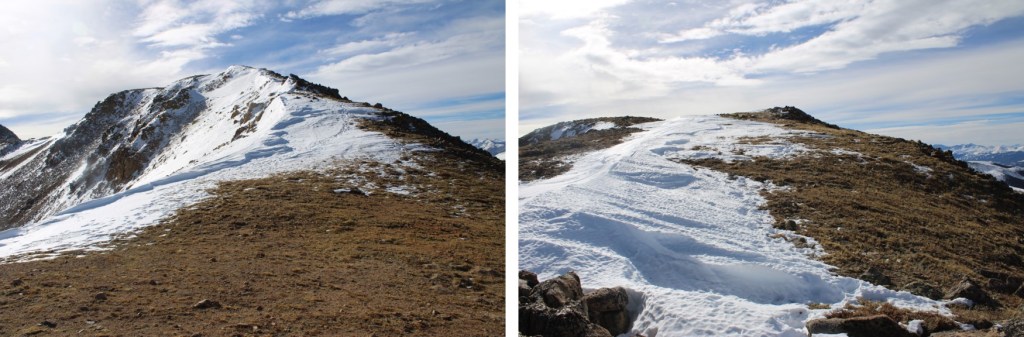
I gained the ridge, and followed it north to the summit of Golden Bear. This was all class 2


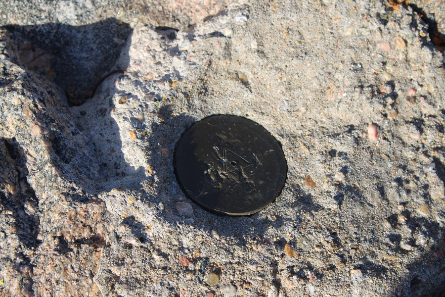
There was a marker at the summit
I summited Golden Bear Peak at 8am
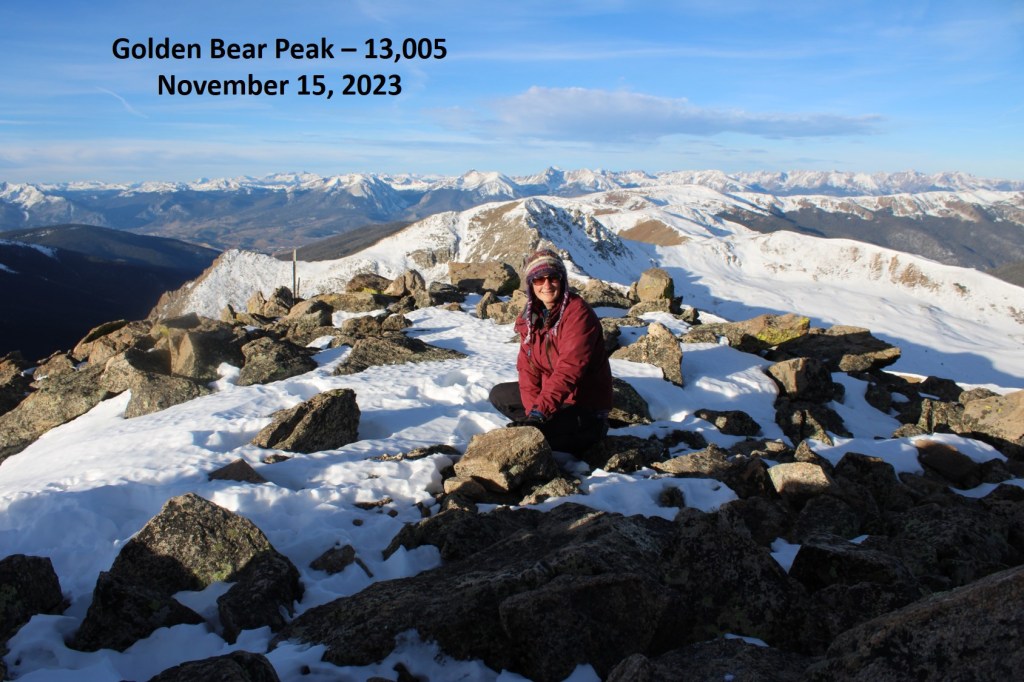
Golden Bear Peak:
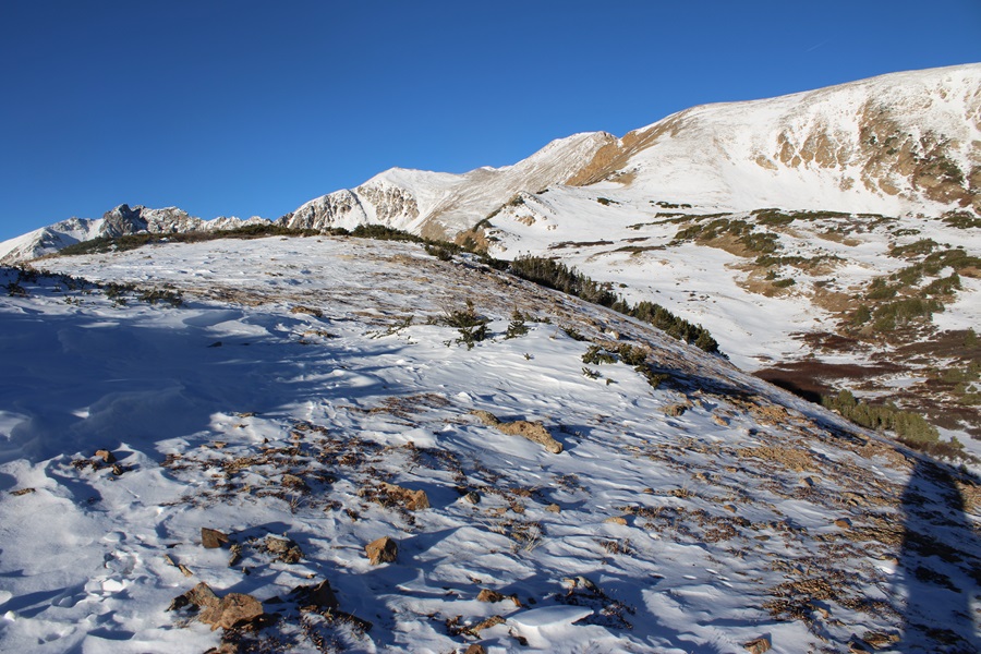
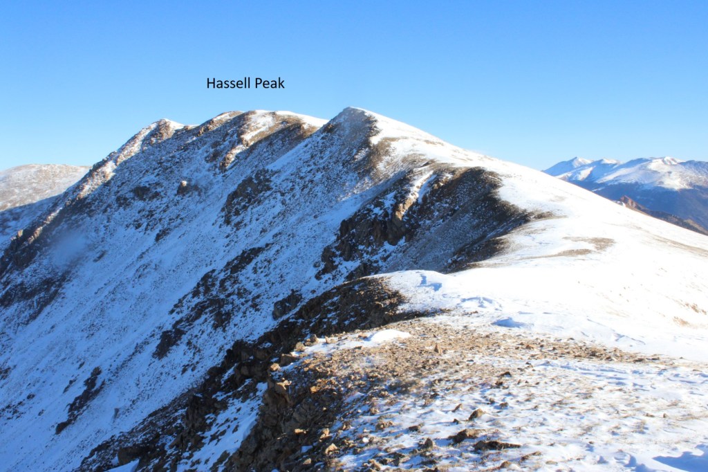
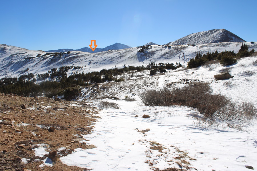
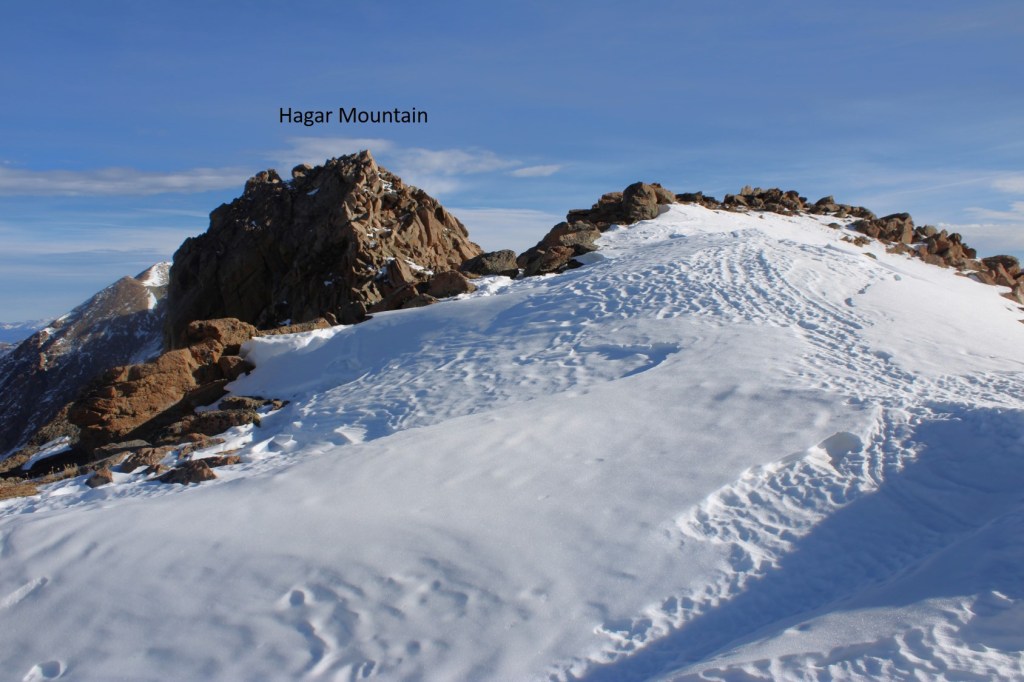
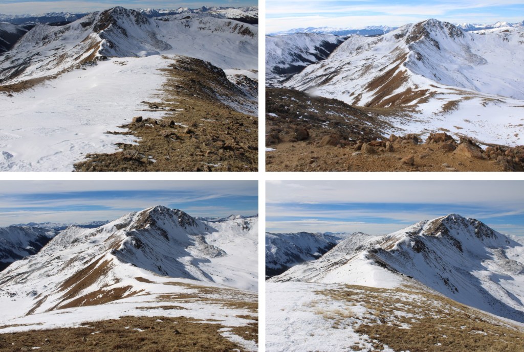
I could see Hagar Mountain to the north
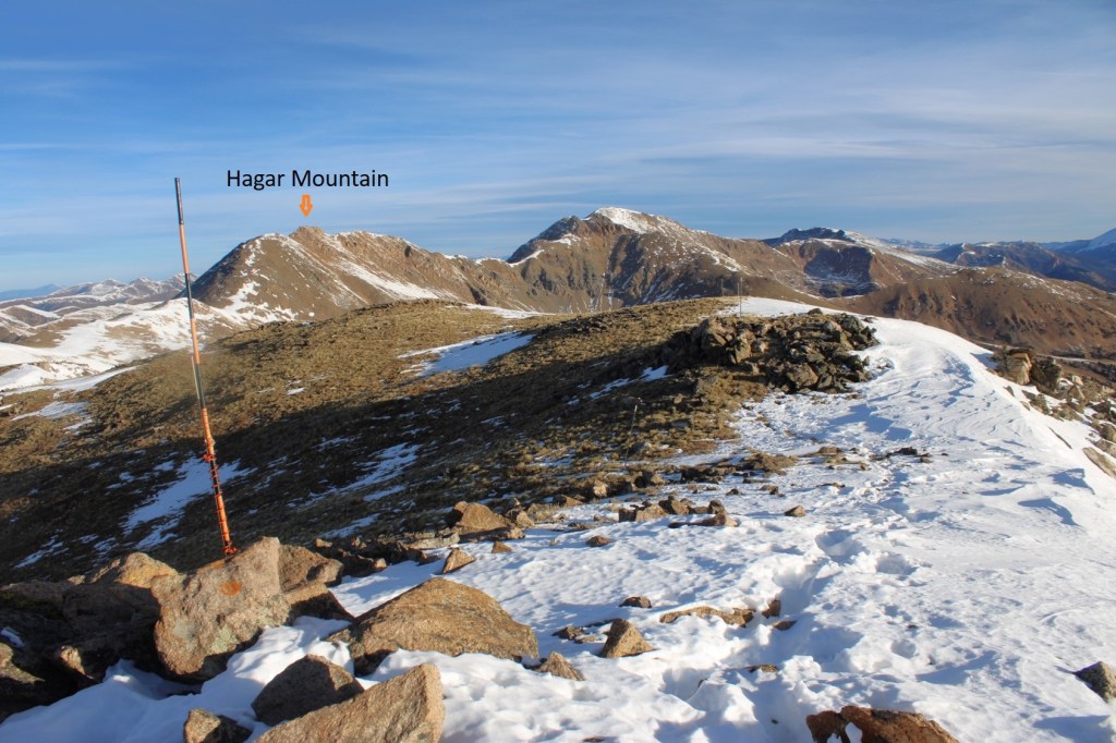
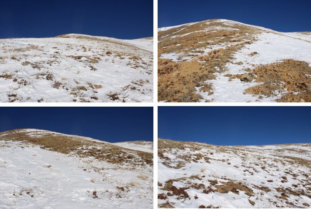
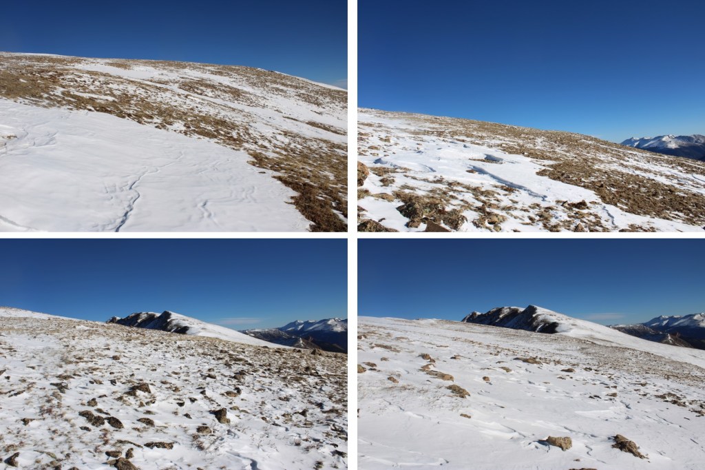
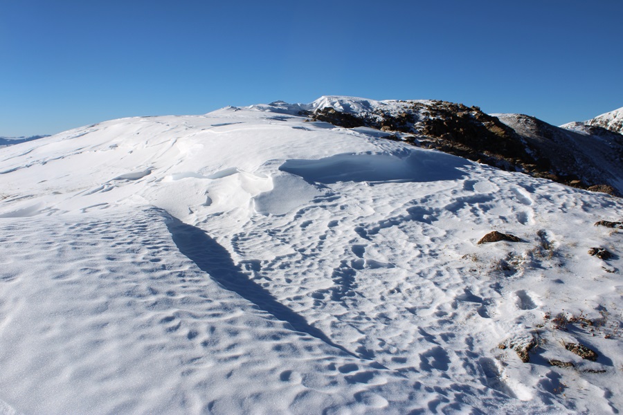
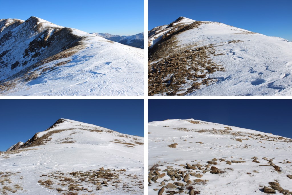
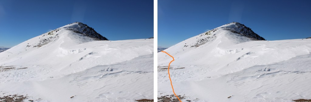
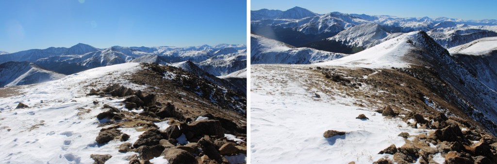
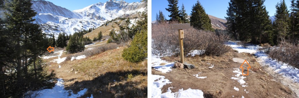
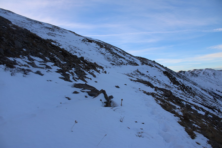
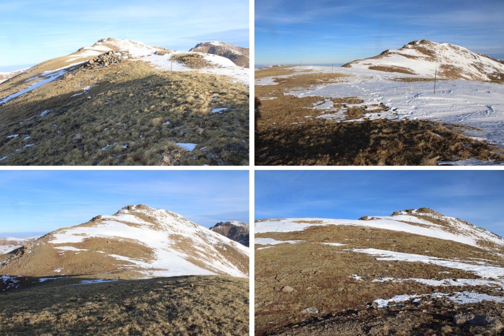
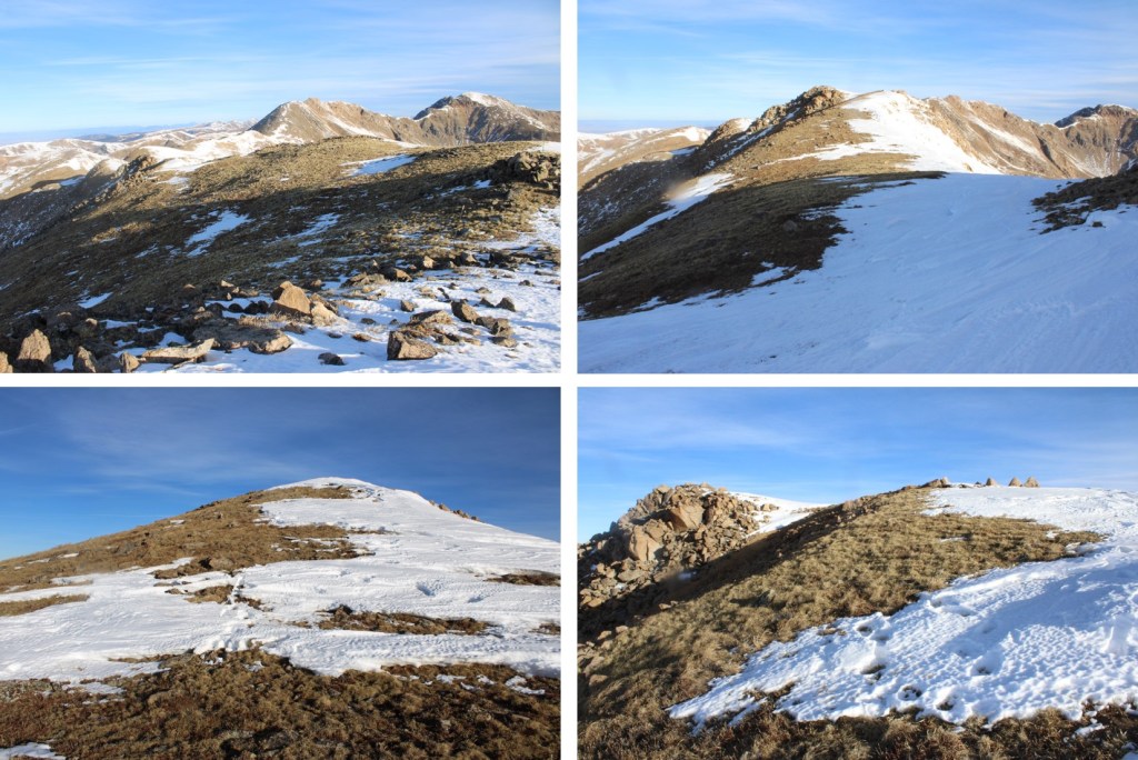
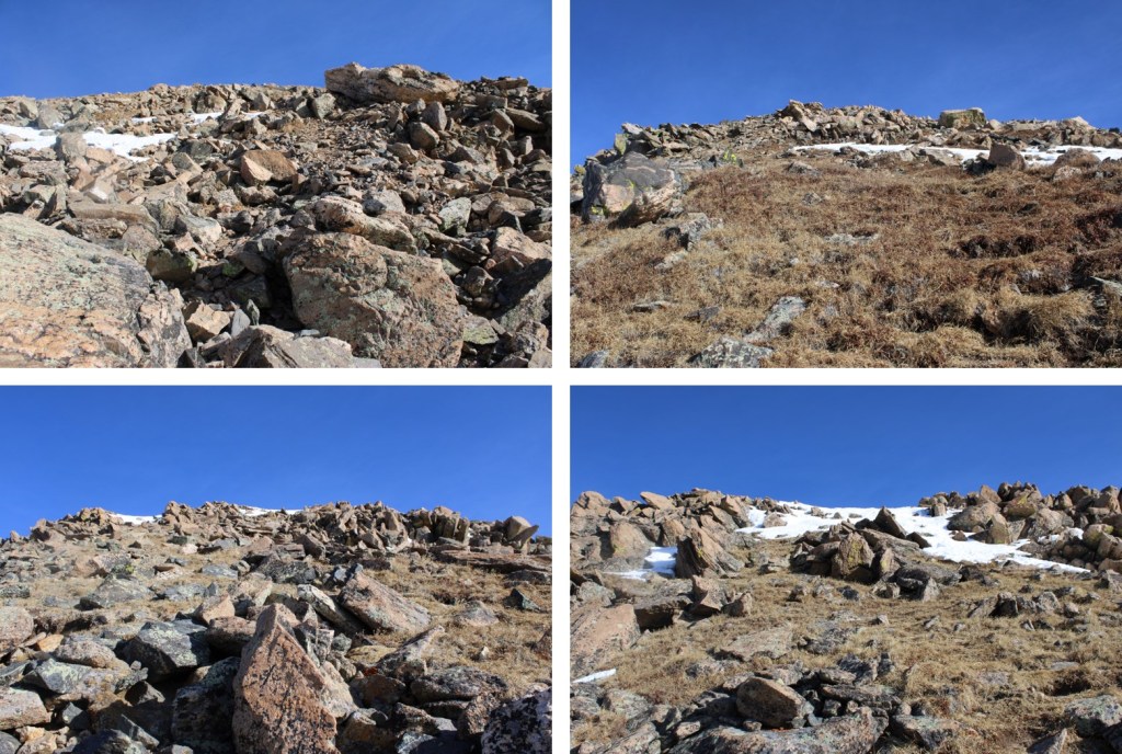
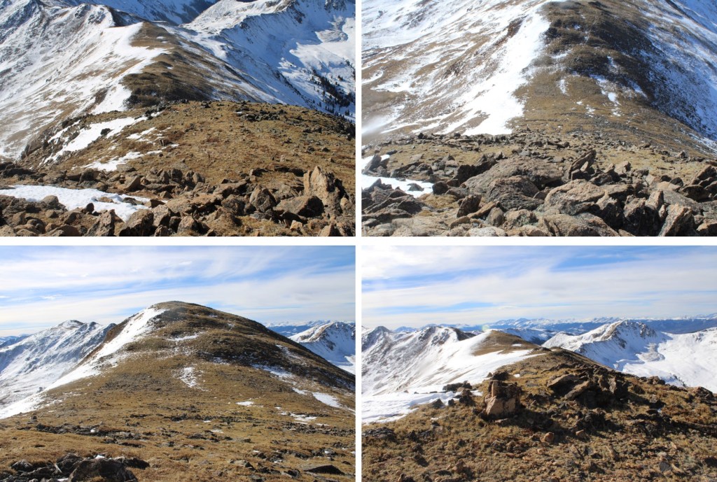
To get there, I continued following this class 2 ridge. There were a lot of ups and downs, but it remained class 2 (until the last 50 feet of elevation gain or so). Here are some pictures of the ridge

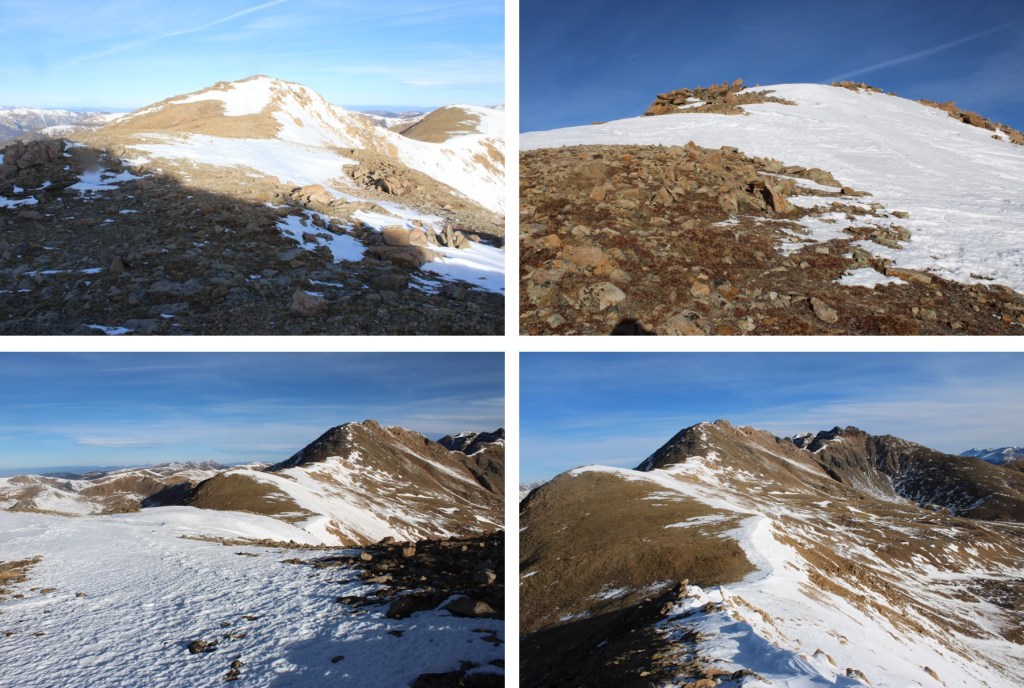
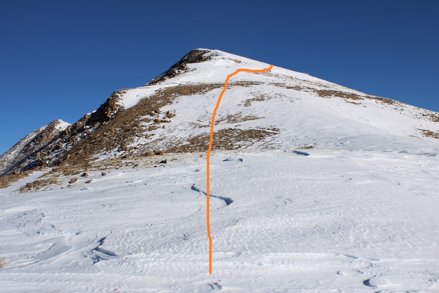
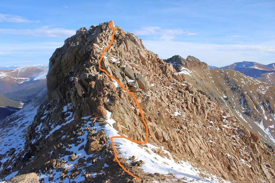
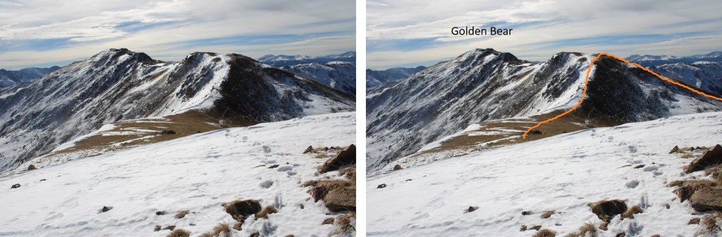
Now the fun begins. It’s class 2 to the top of this ridge. There are a few cairns, but it’s basically choose your own adventure. I went straight up. It’s steeper than it looks, so get a good view before you ascend. This is the route I took.
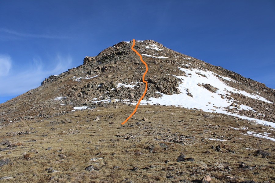
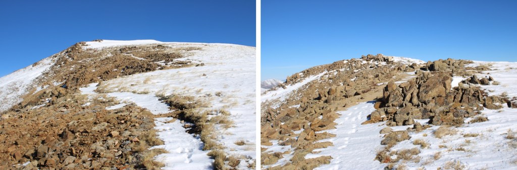
And some pictures of the route up.
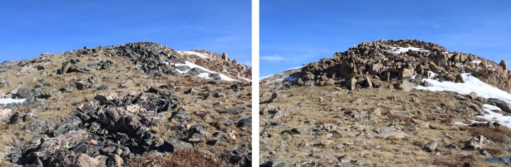
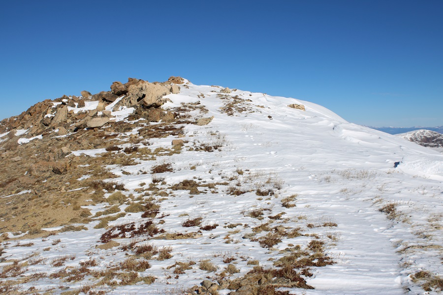
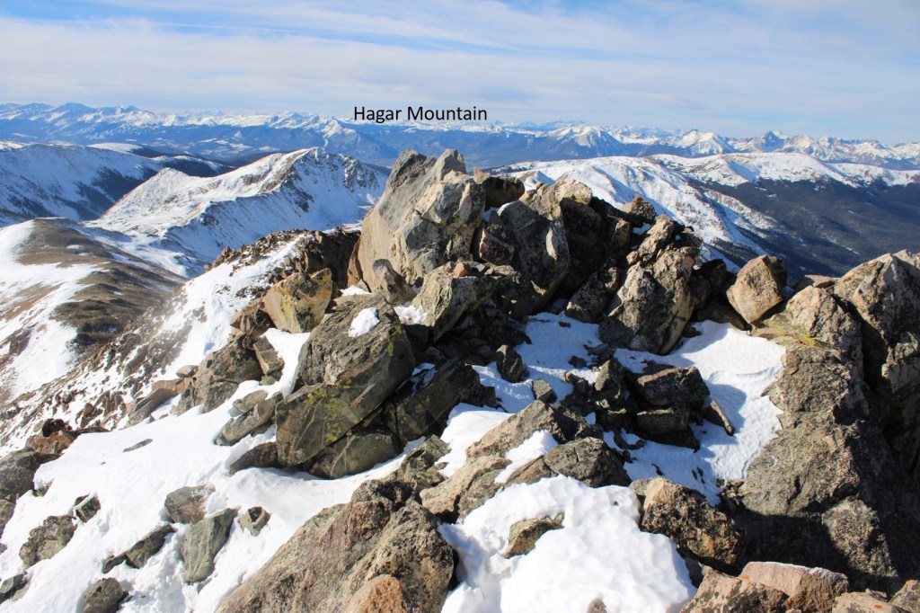
At the top I was greeted with a view of the final approach to Hagar Mountain.
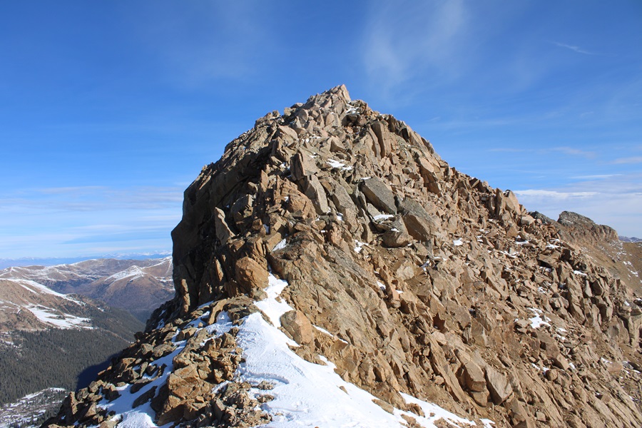
To be honest, I hadn’t done a lot of research on Hagar, and was surprised to find the last bit was class 3. In other words, I didn’t have a helmet. Be sure to bring one! I dropped my pack, descended a bit to the saddle, and then started climbing up.

This is again choose your own adventure. This is the overall route I took.
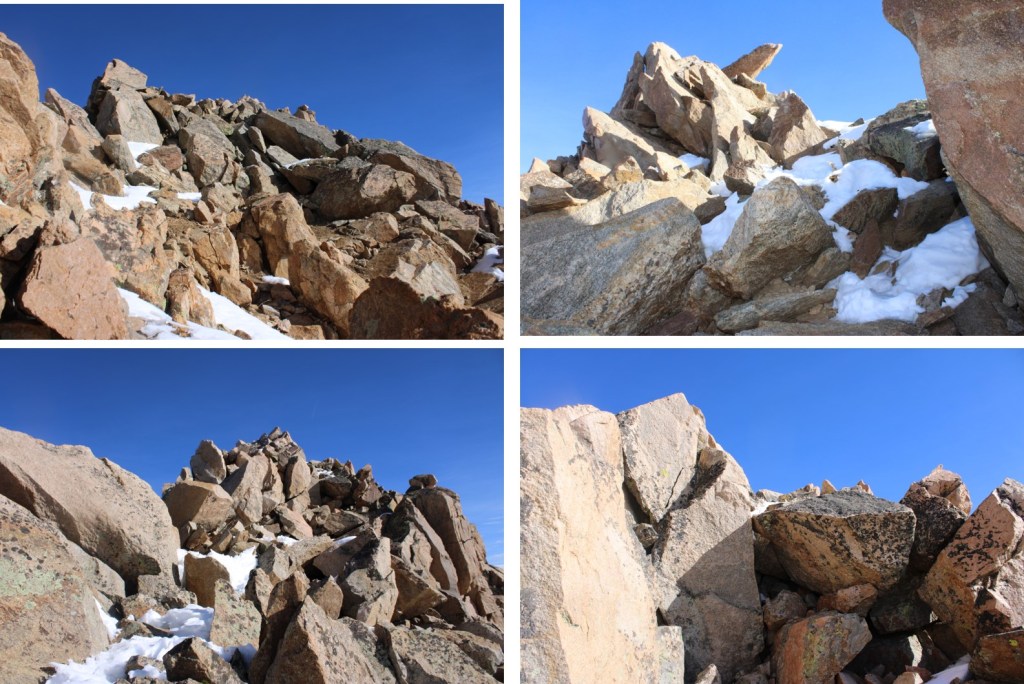
And some pictures of the scramble


Here’s the actual summit block. It’s the first one you come to.

I summited Hagar Mountain at 9:20am
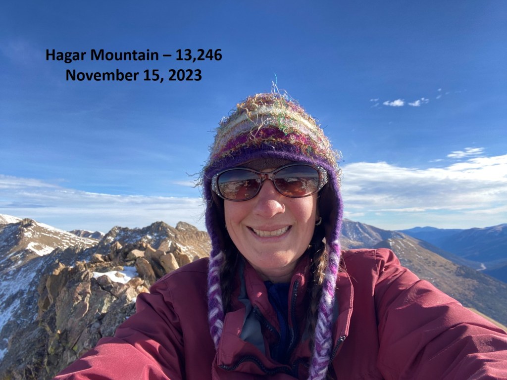
Hagar Mountain:
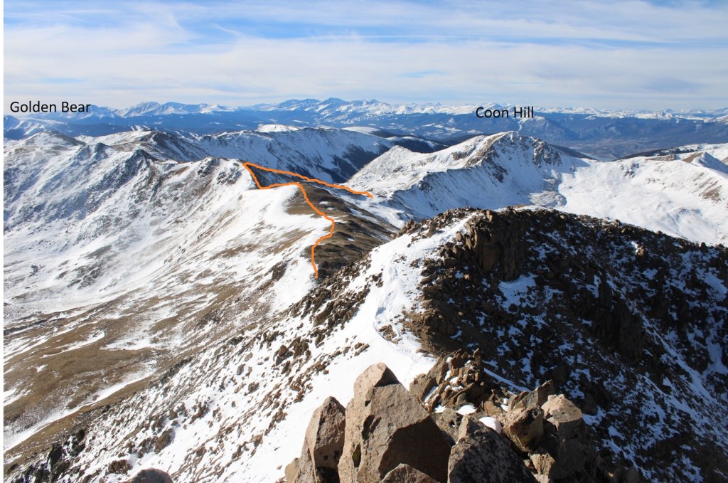
From the summit looking north, it seemed as if the next point was equal height to where I was currently, so I scrambled over there too in case any LiDAR issues should arise.

Here’s looking at Hagar Mountain from the second block
I trekked back over to the first block, and found a summit register, so I’m assuming the first block is the true summit. Now to head back. I retraced my steps, aiming for the Golden Bear/Hagar saddle.

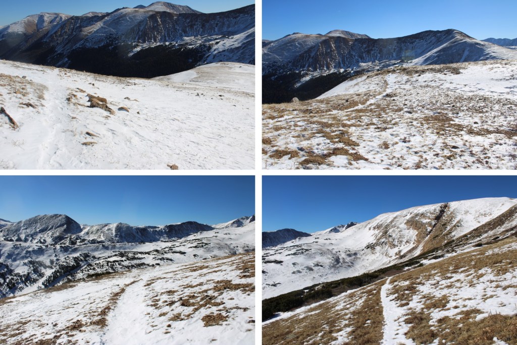
Here’s the overall route I took back to the basin, aiming for the Golden Bear / Coon Hill saddle
First I headed back down Hagar the way I ascended

After making it to the saddle, I followed the ridge up to 12830’
At 12830’ I turned and headed southwest towards the saddle.

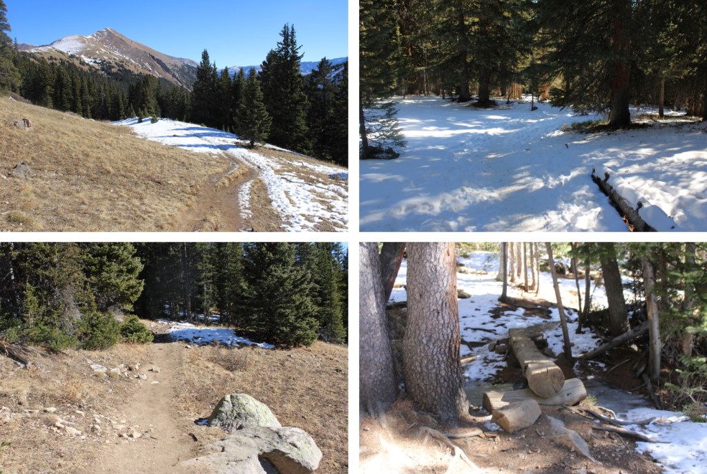
At the saddle I found an obvious trail and turned left. This led me back down into the basin and back to the trailhead.

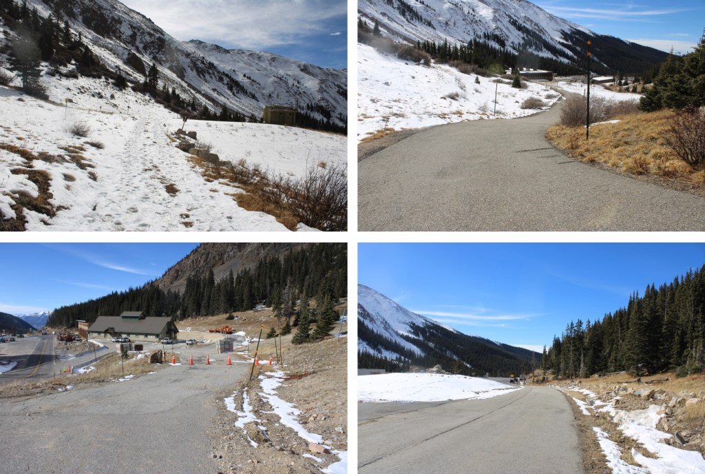
I made it back to the trailhead at 11:20am, making this a 7.82 mile hike with 2760’ of elevation gain in 5 hours.
On to the next trailhead!