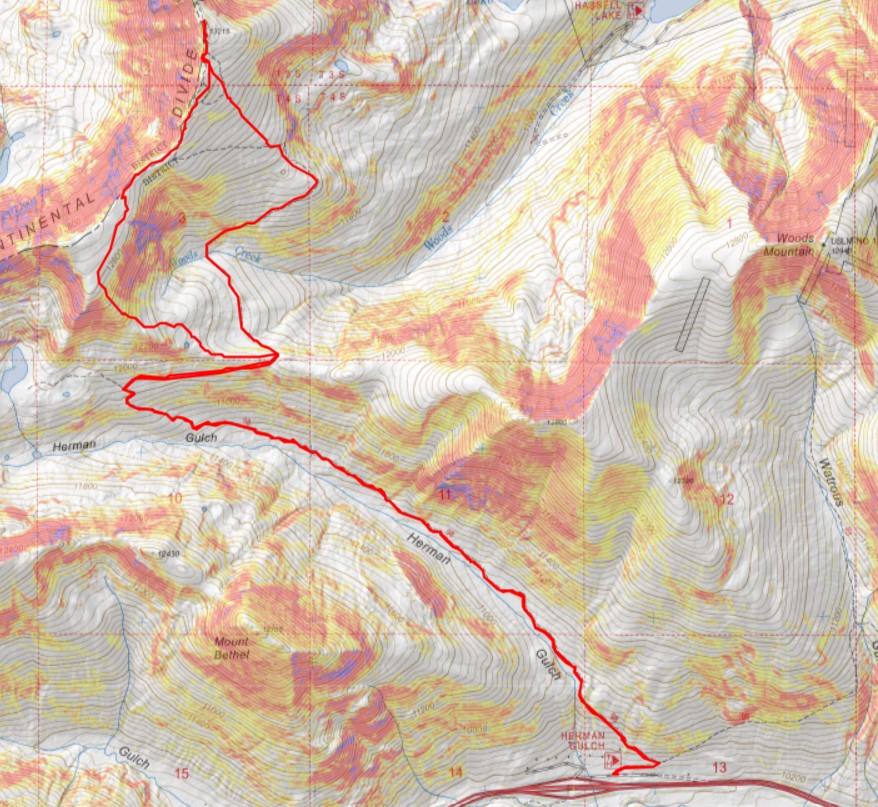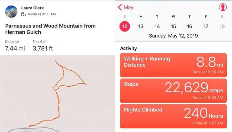
RT Length: 11.45 miles
Elevation Gain: 3255’
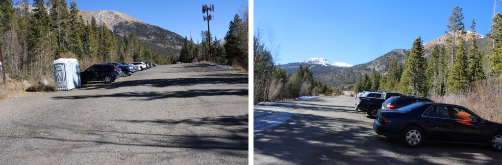
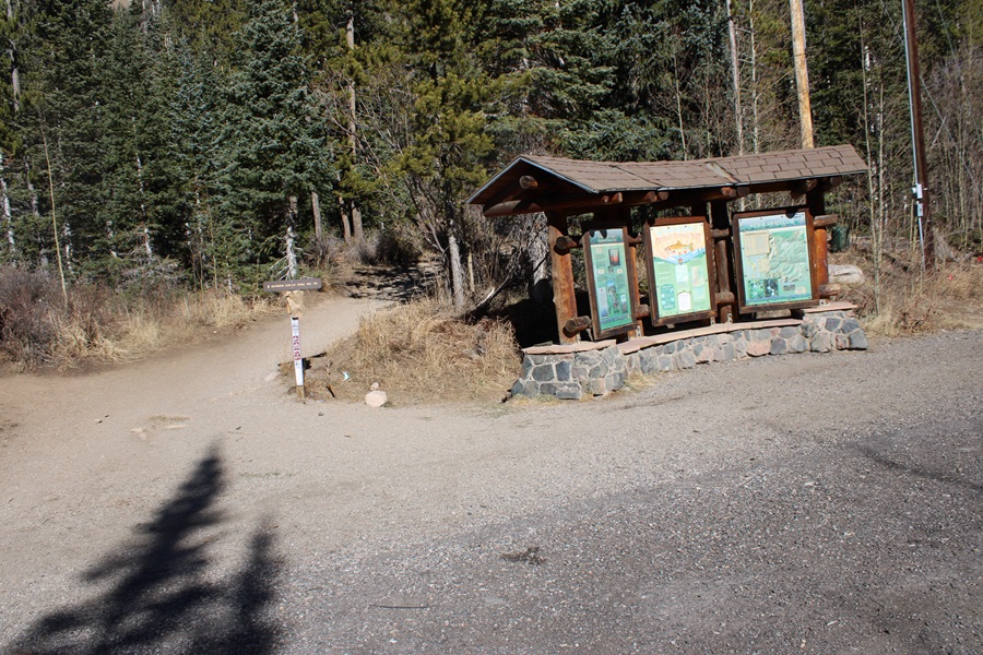
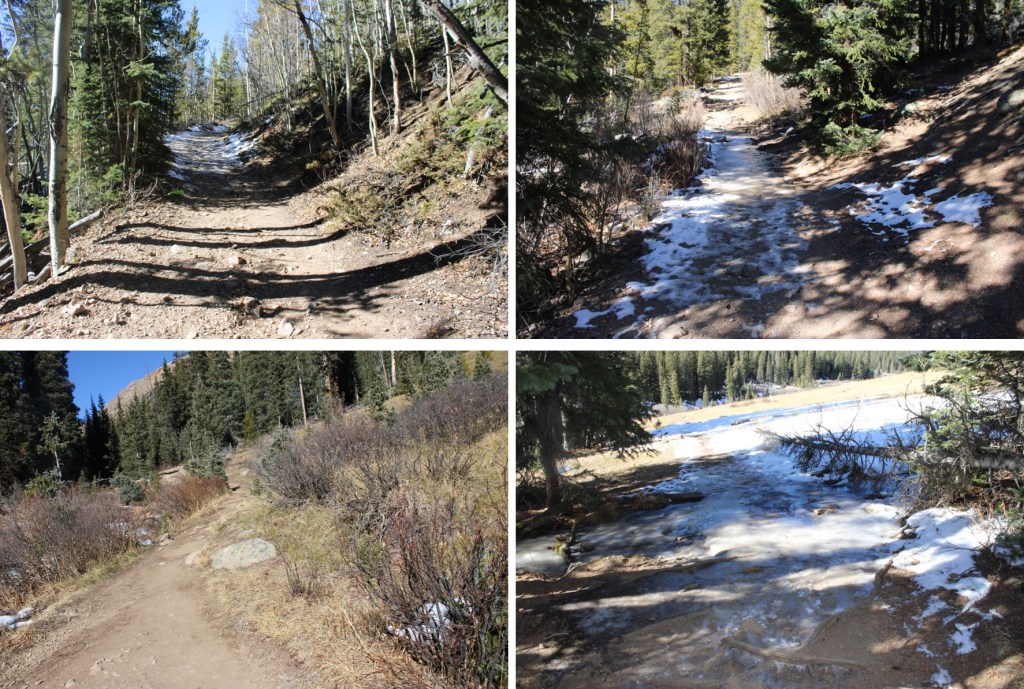
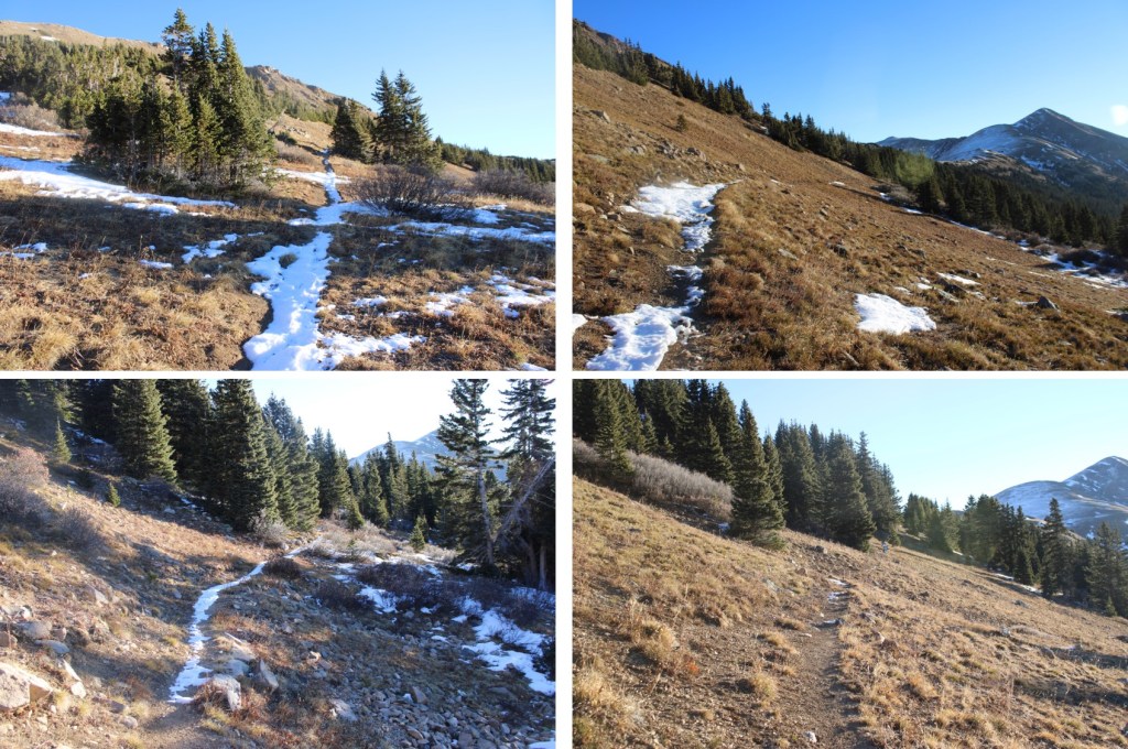
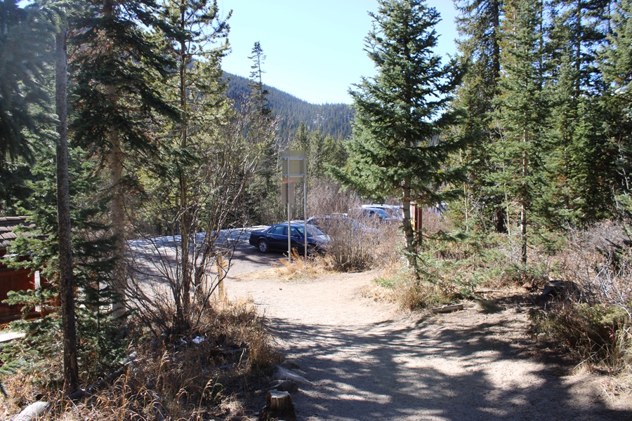
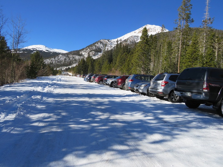
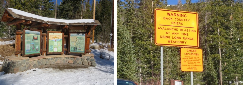
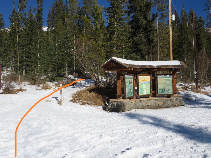
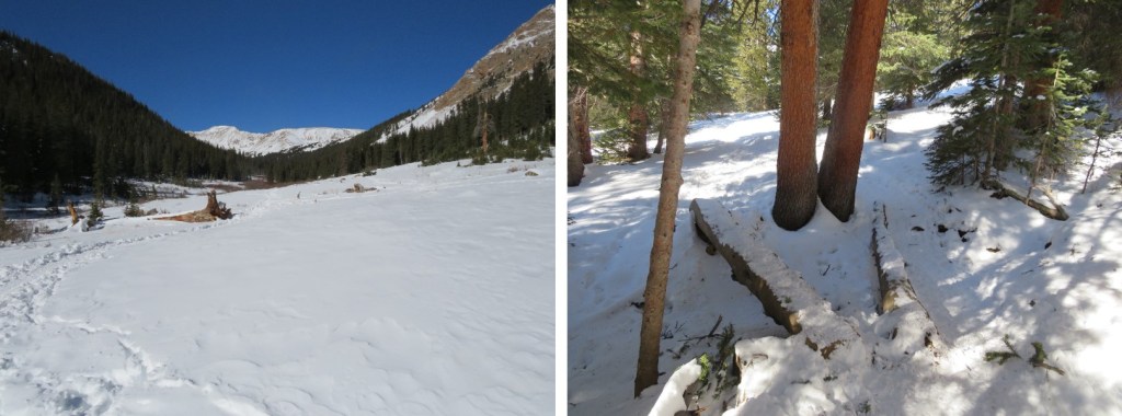
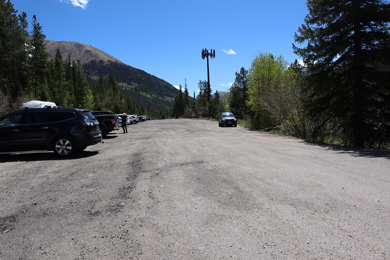
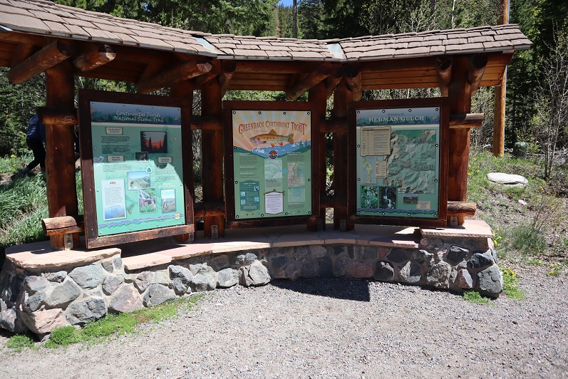
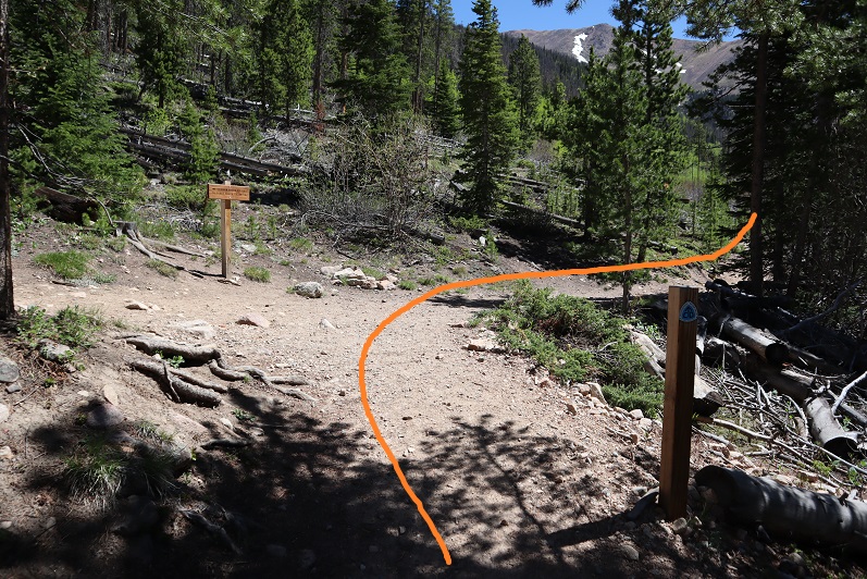
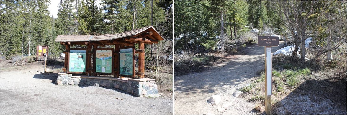
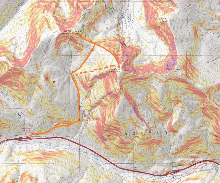
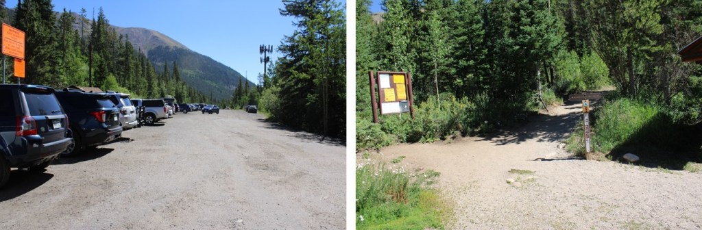
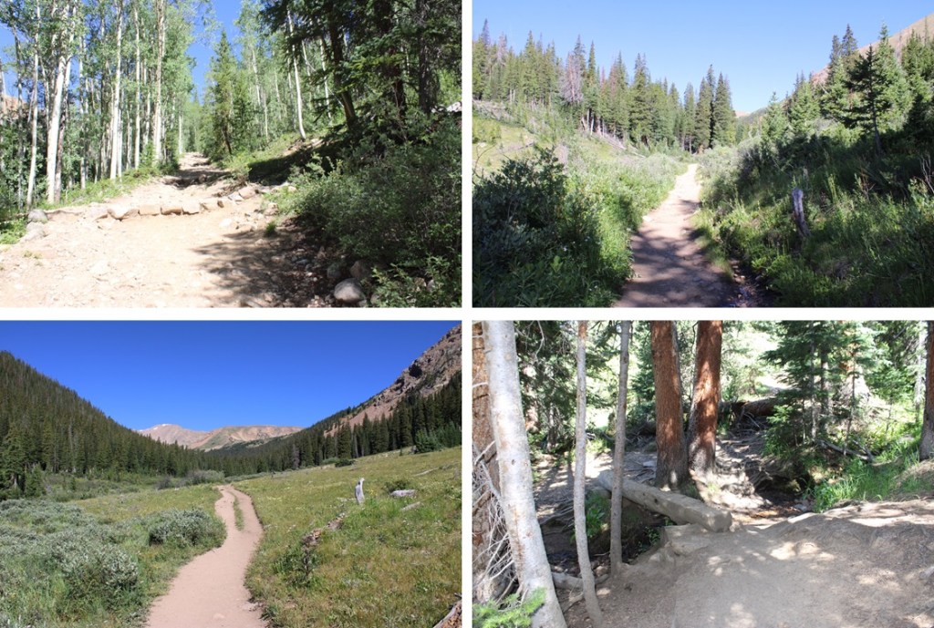
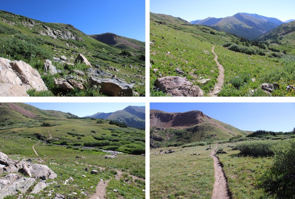
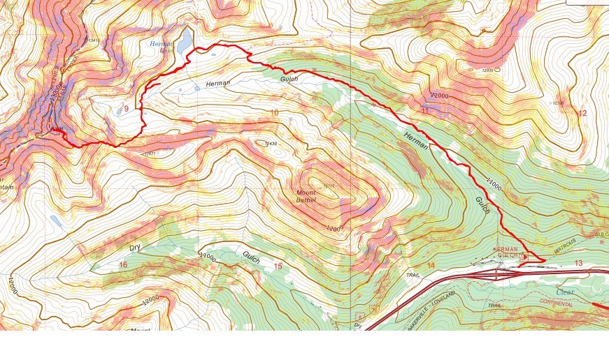
I arrived at the Herman Gulch Trailhead and was on the trail at 4:30am. The trailhead has spots for dozens of vehicles (if not more), and the trail is clearly marked.
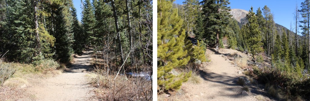
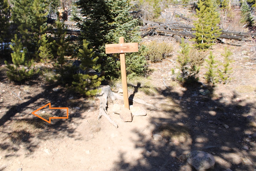
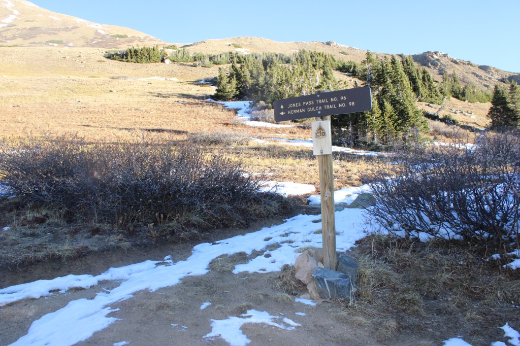
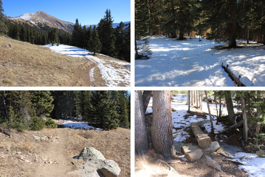
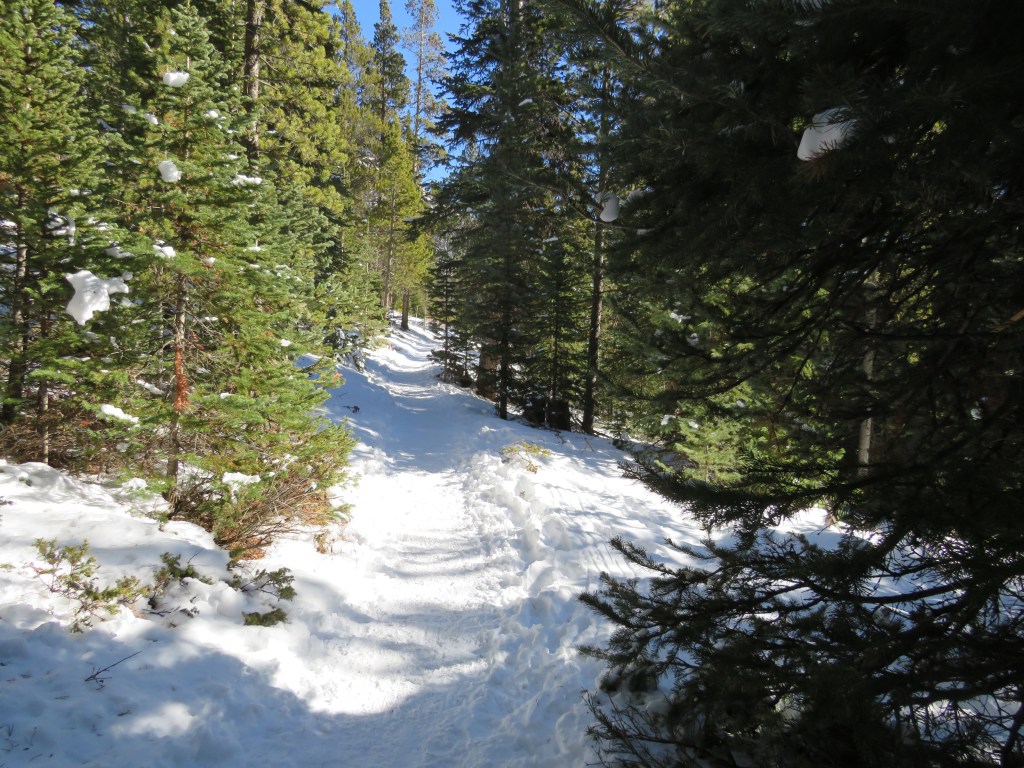
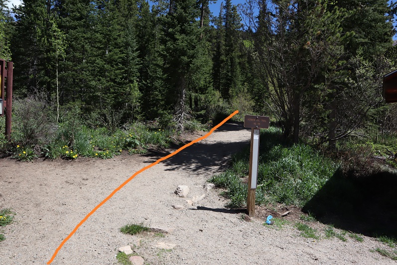
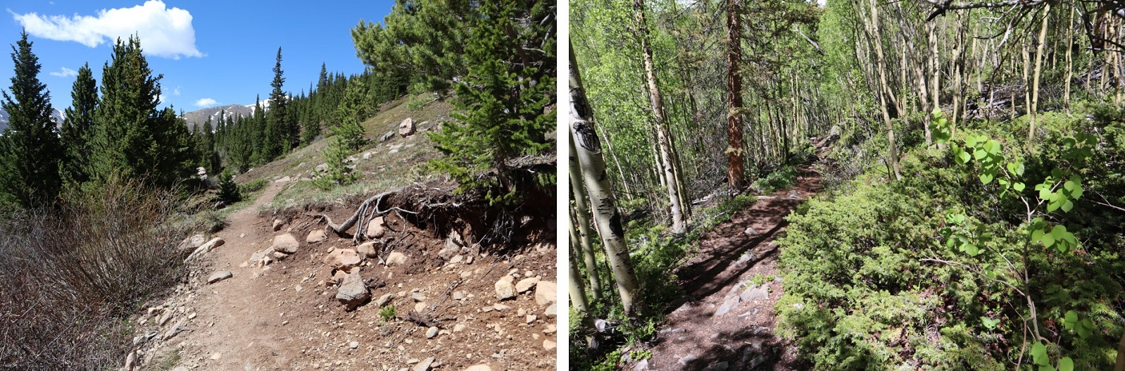
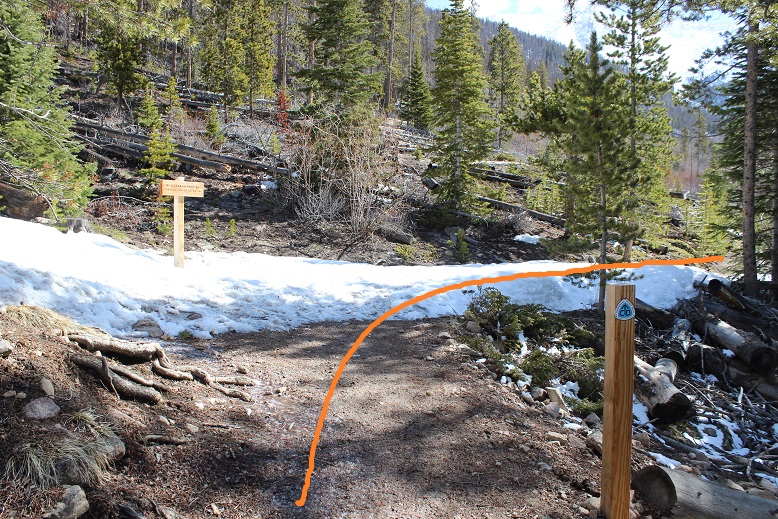
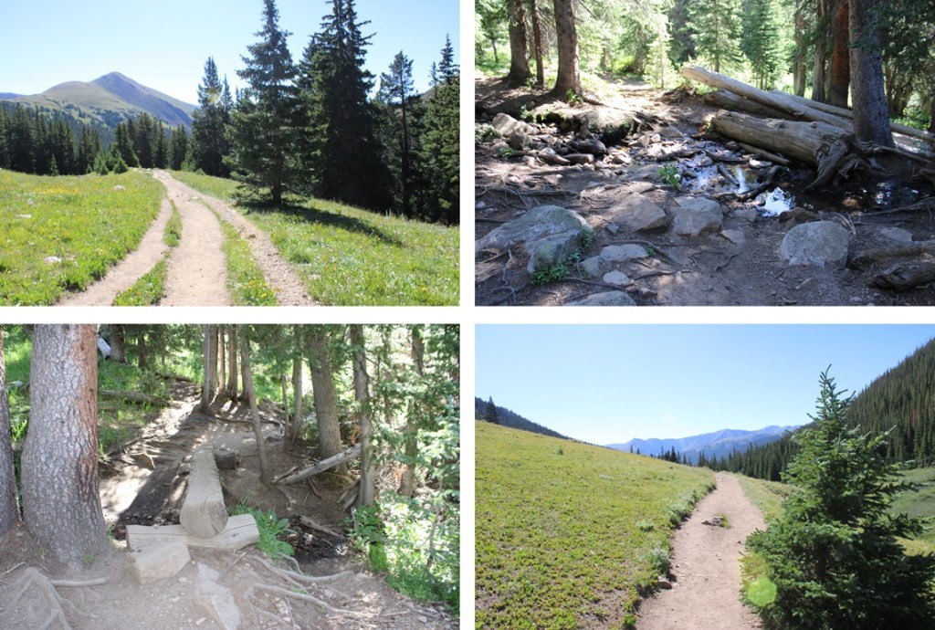
I followed the Herman Gulch trail for less than a quarter of a mile, until I came to the junction with Waterous Gulch Trail, turned left, and continuing following the class 1, well-defined Herman Gulch Trail all the way to Herman Lake.


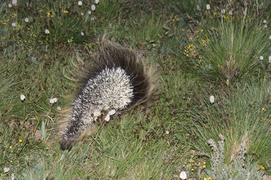
It was at about here I encountered a porcupine, which immediately turned and ran away from me.
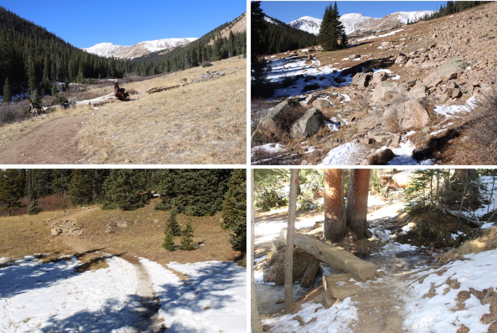
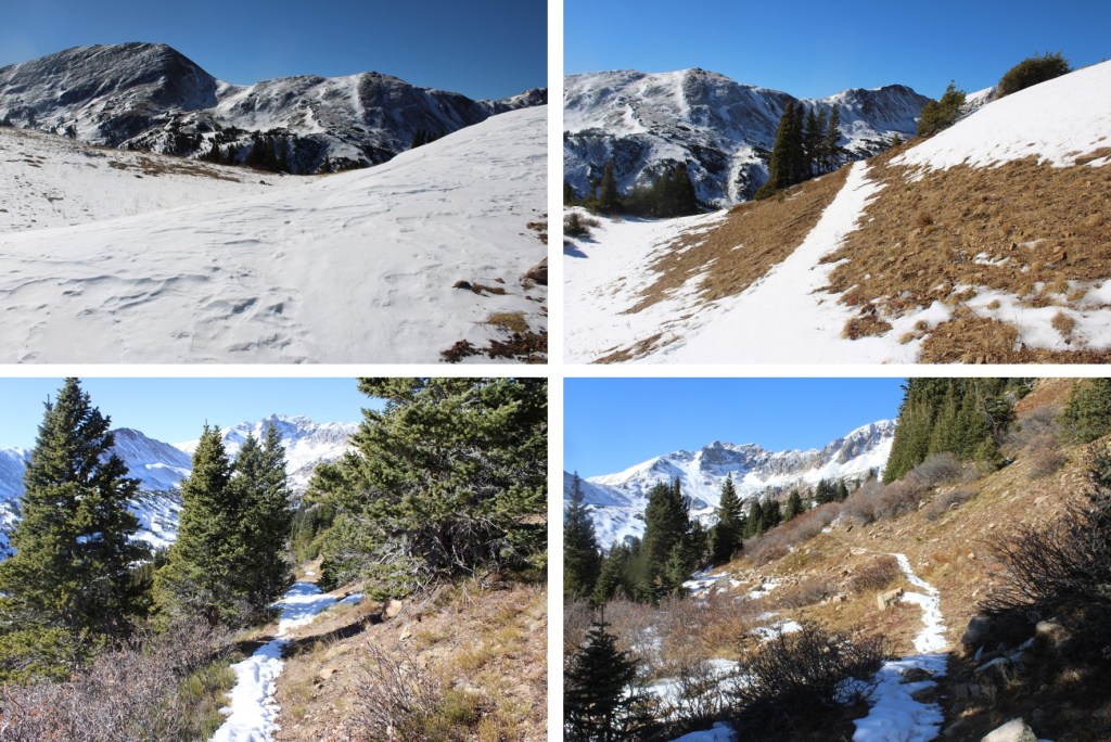
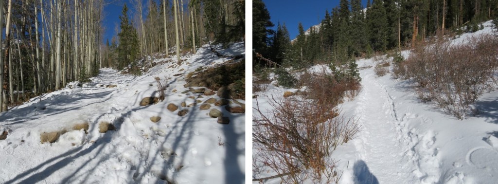
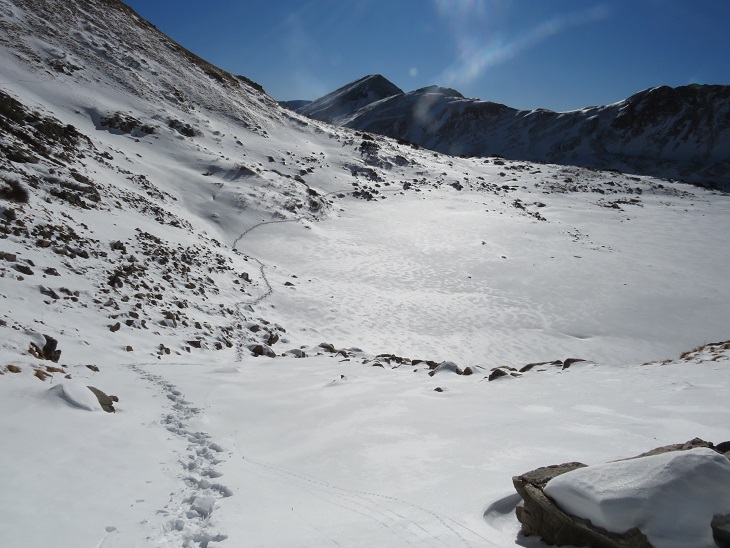
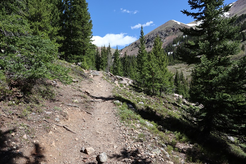
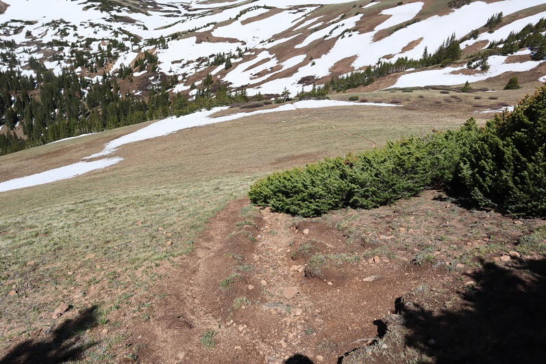
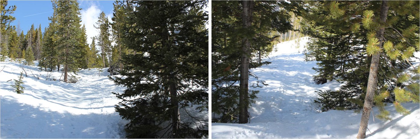
I continued following the trail, skirting the south side of Herman Lake
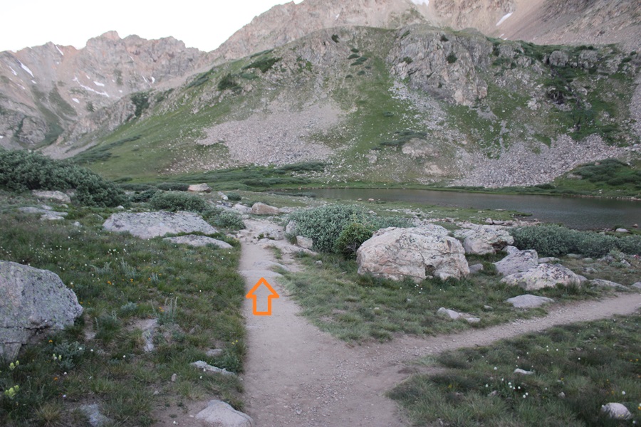
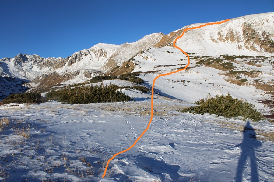
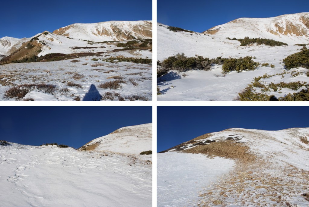
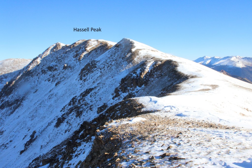
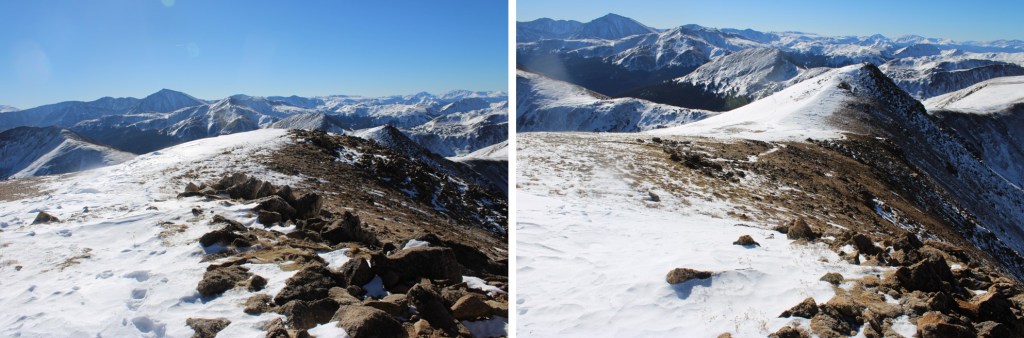
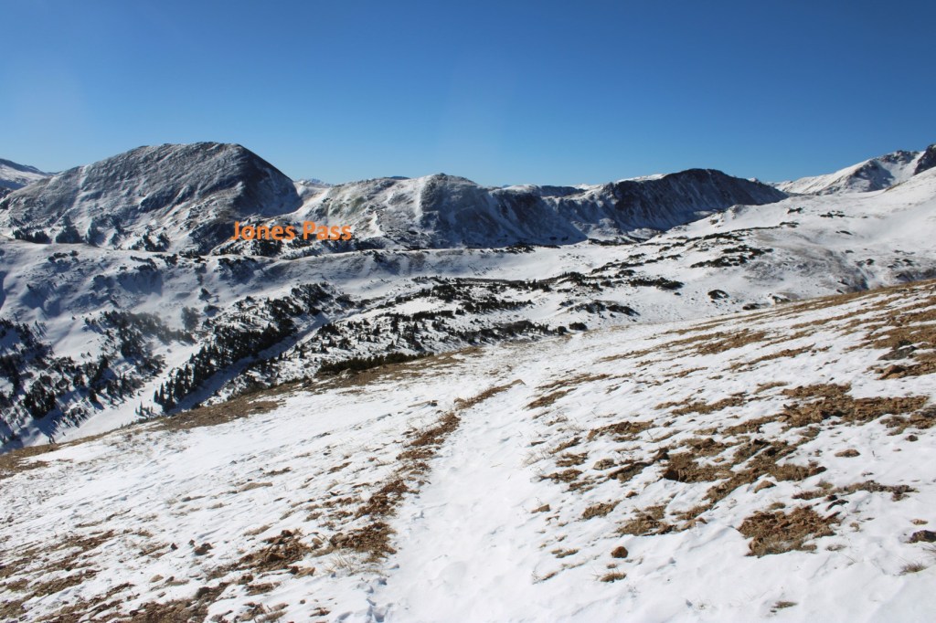
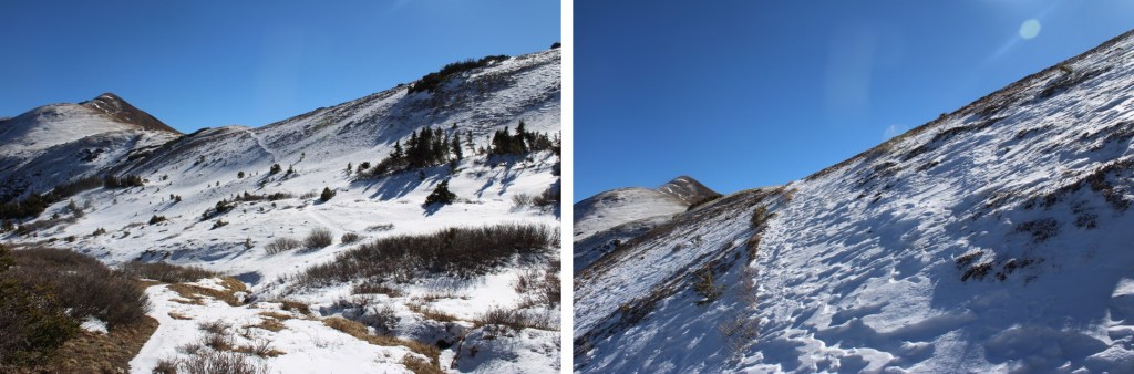
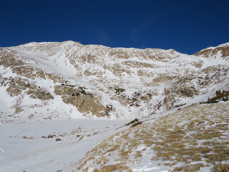
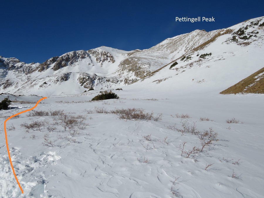
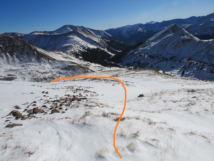
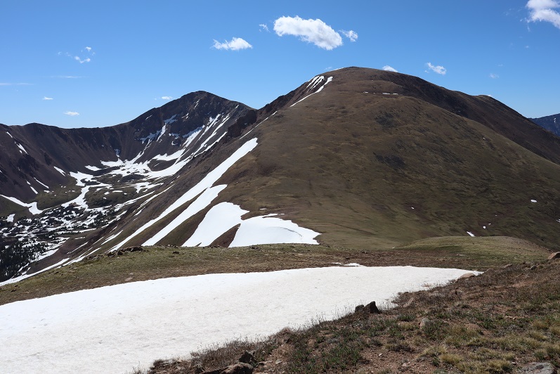
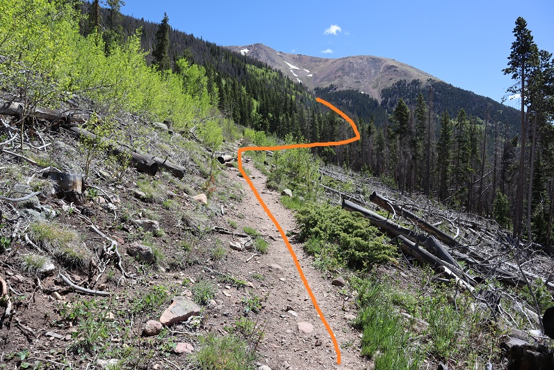
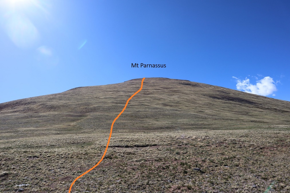
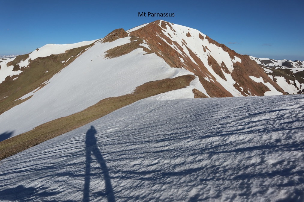
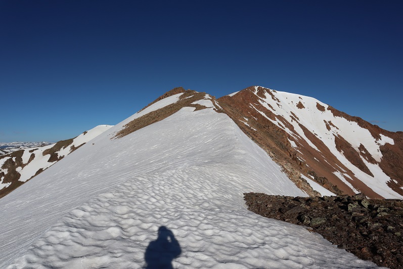
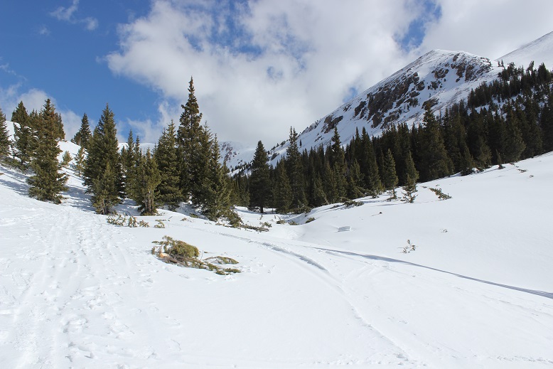
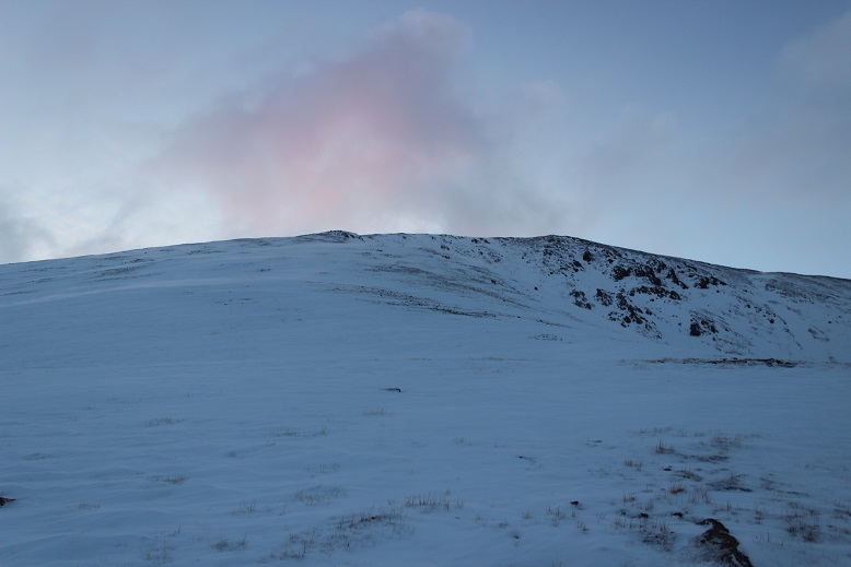
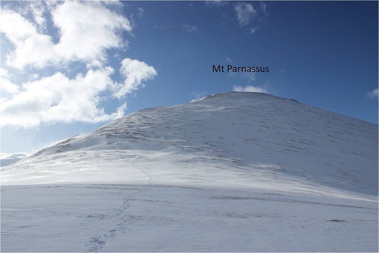
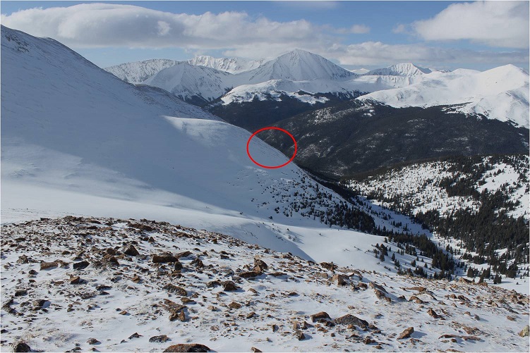
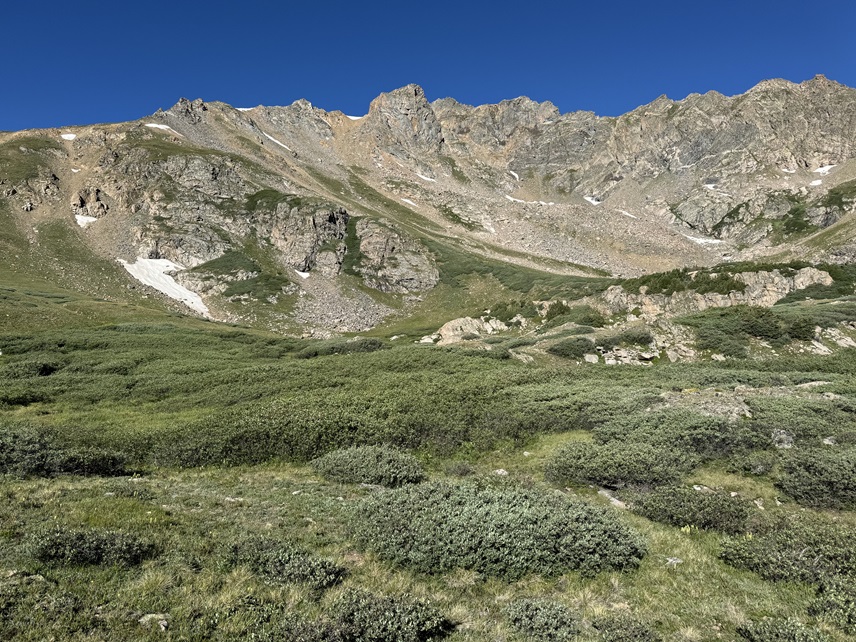
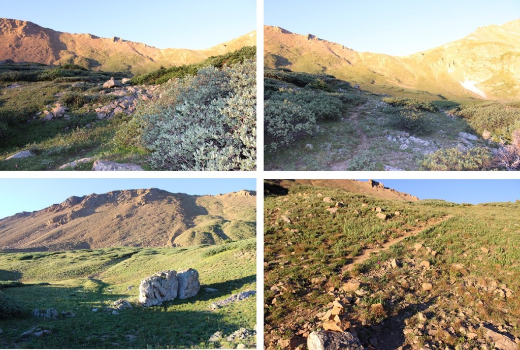
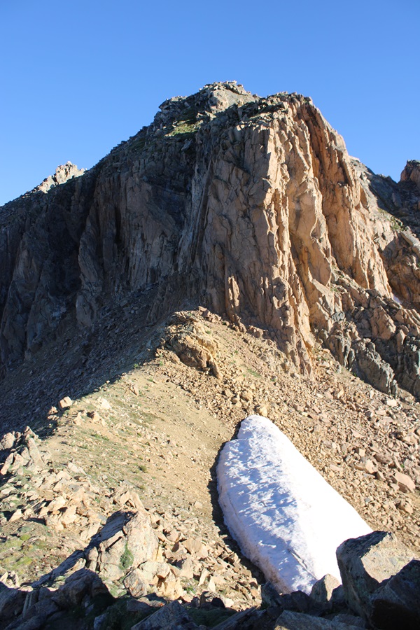
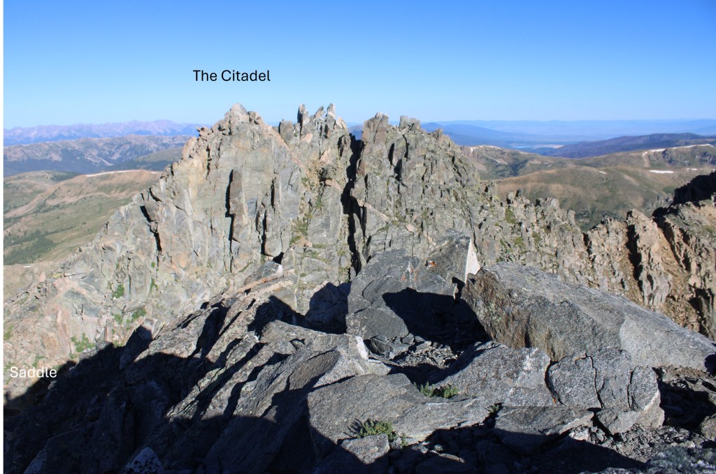
I followed this trail as it headed southwest towards the saddle of The Citadel and PT 12671. Here’s where I was heading:

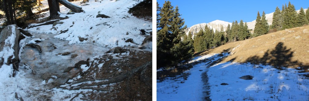
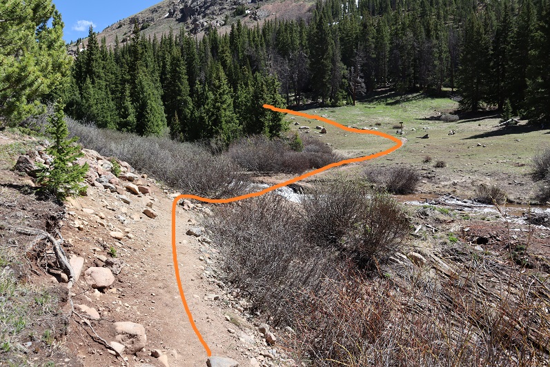
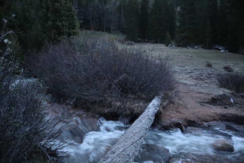
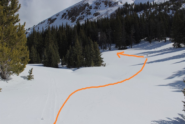
There’s a pretty good trail that goes MOST of the way, crossing the creek that flows out of Herman Lake and through the willows. I lost a little bit of elevation during this part, but it was negligible.
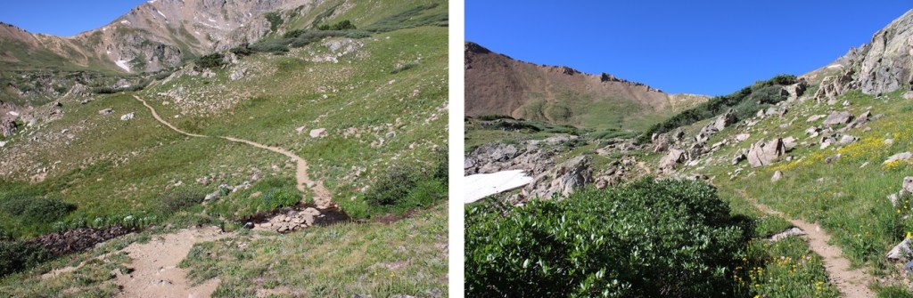
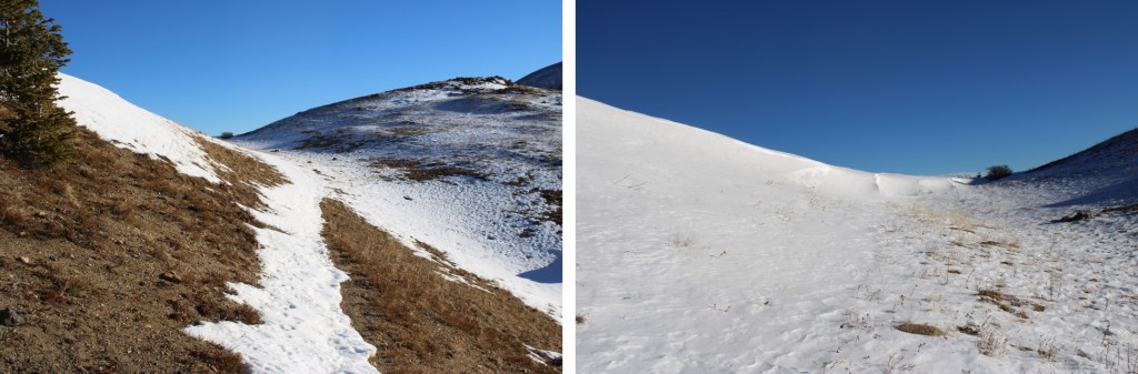
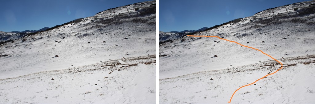
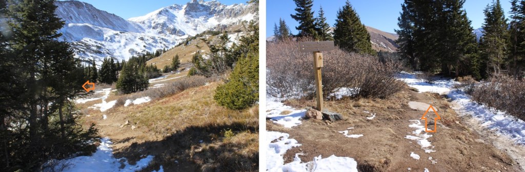
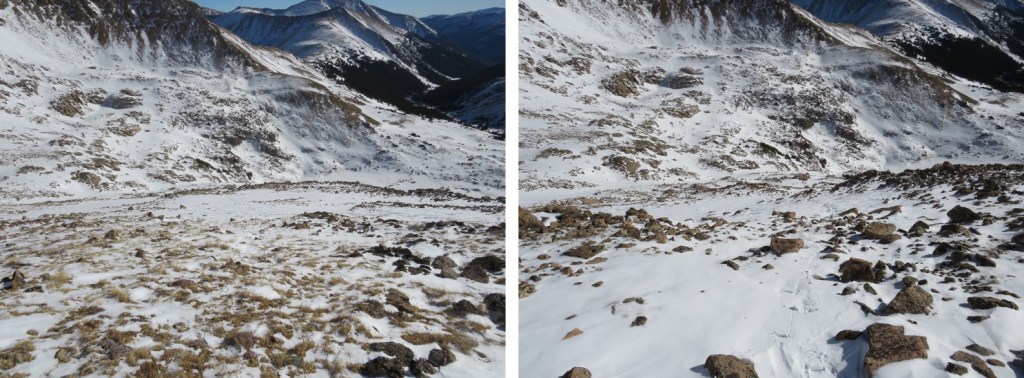
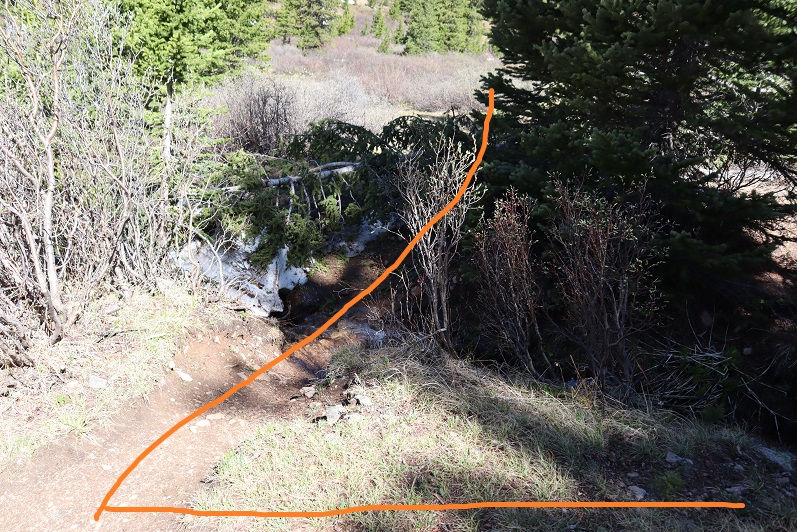
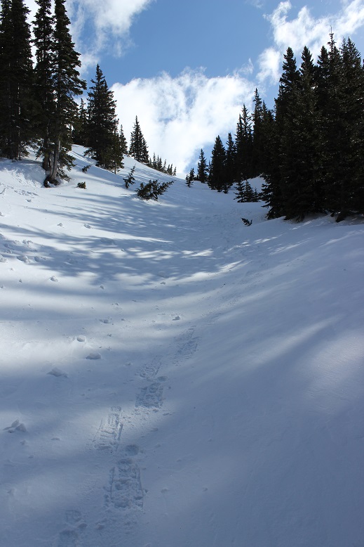
At about 11970’ I came to another large creek, and here I left the trail to cross the creek
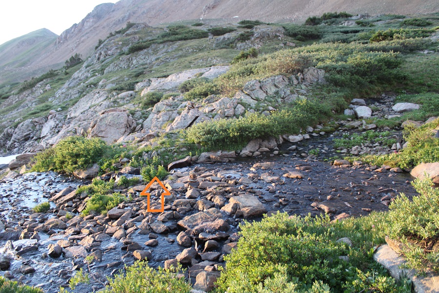
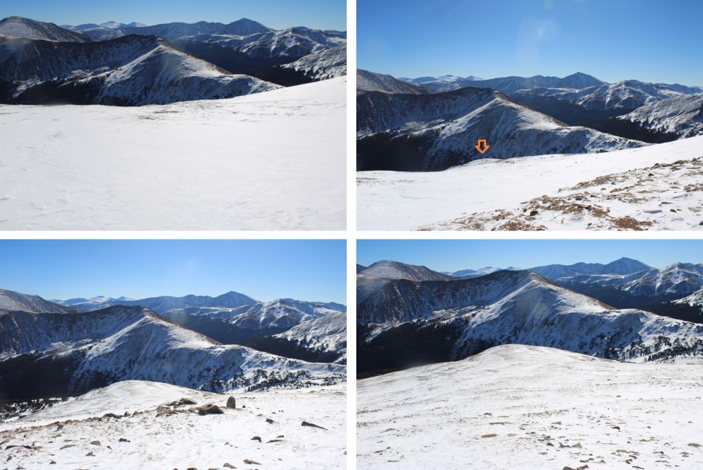
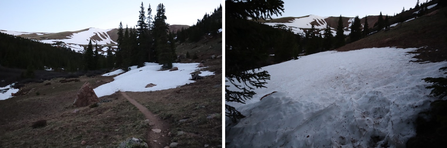
From here the trail is difficult to follow, but there are plenty of cairns to follow to get you to the saddle.
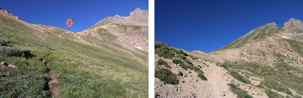
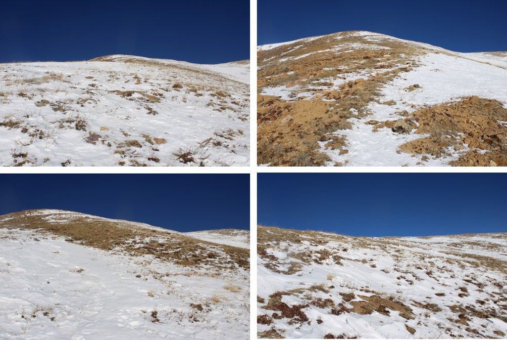
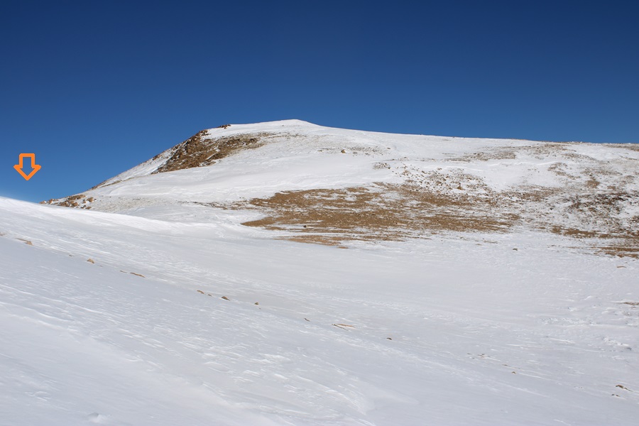
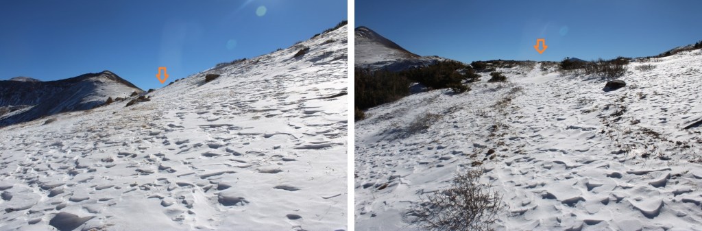
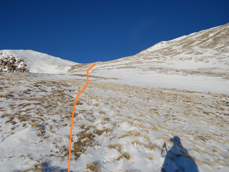
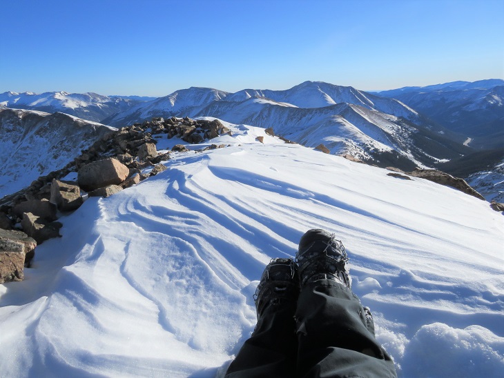
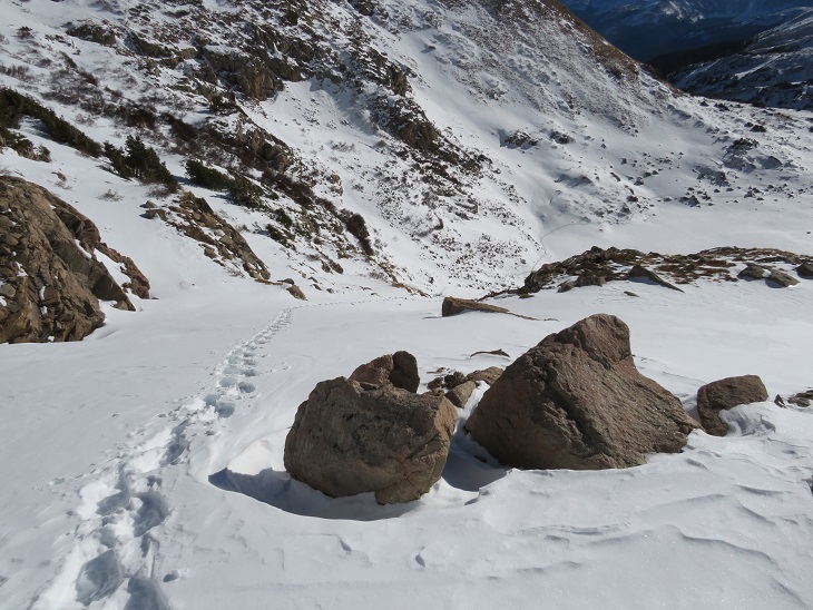
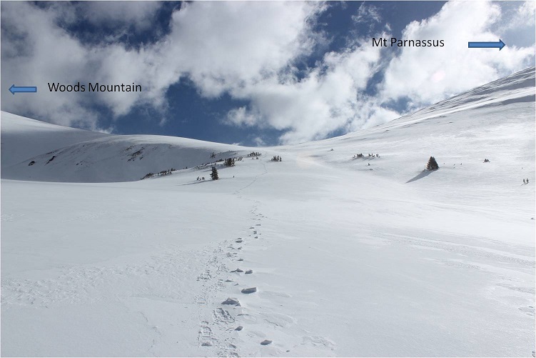
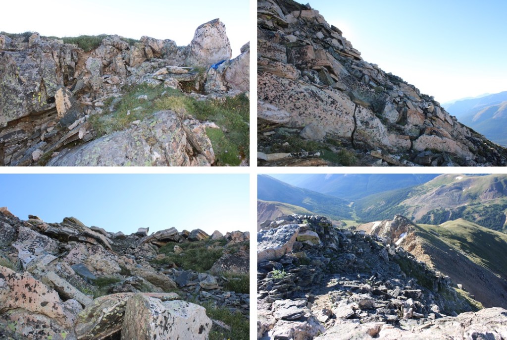
Now on the saddle, I turned right and headed west up the ridge, on a good game trail that was easy to follow.

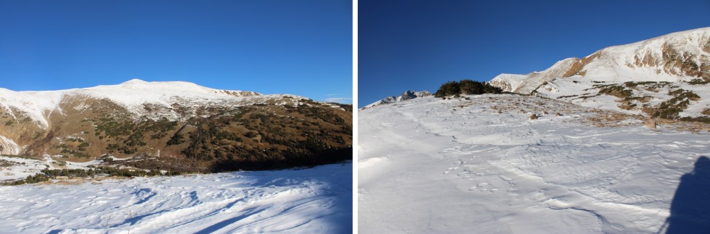
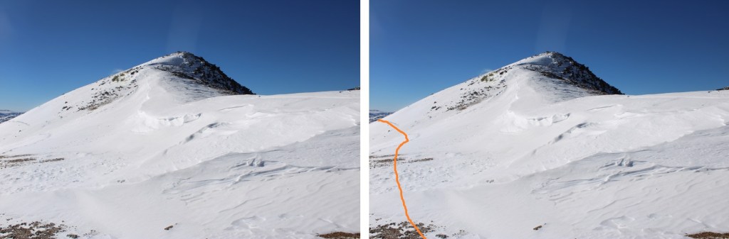
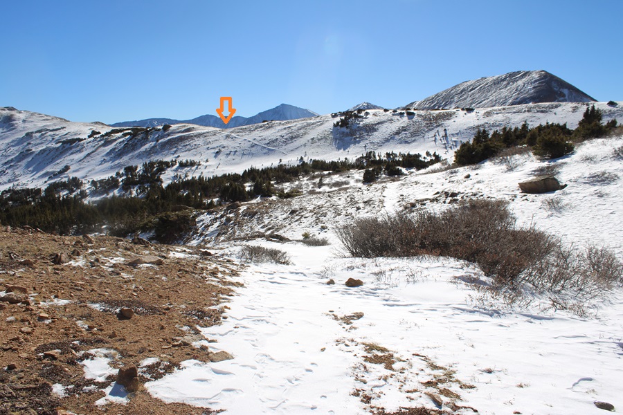
Now to make my way towards the saddle. The route will be obvious.
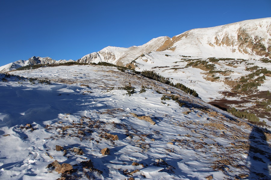
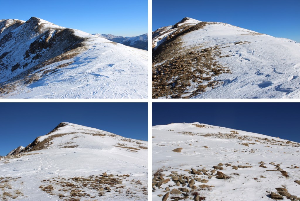
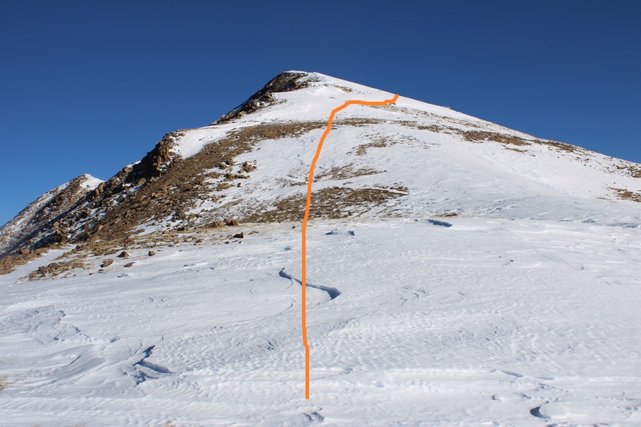
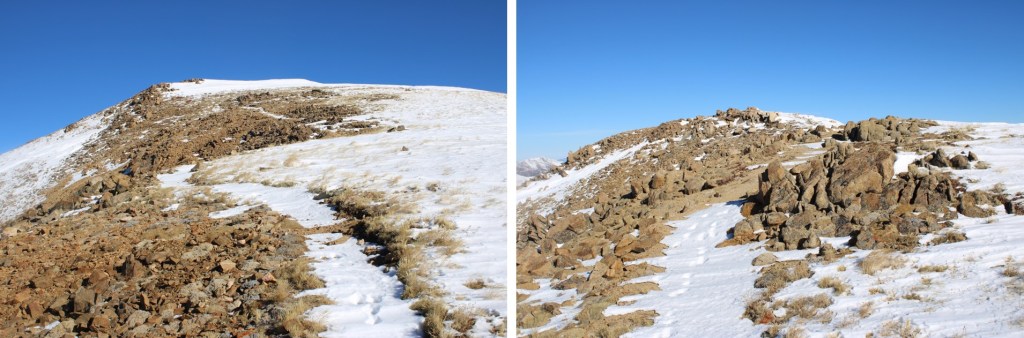
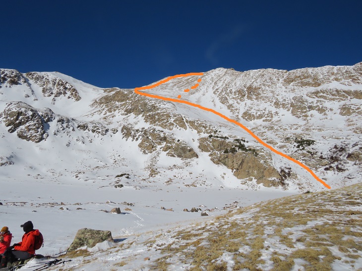
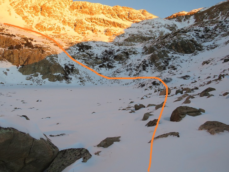
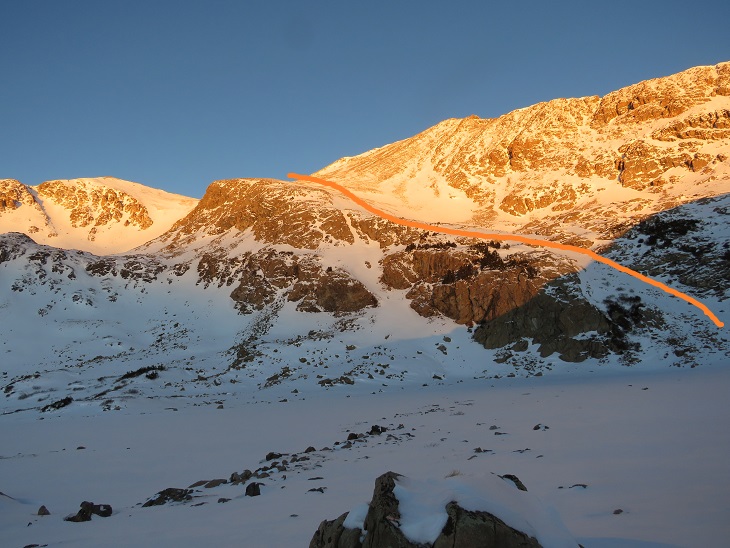
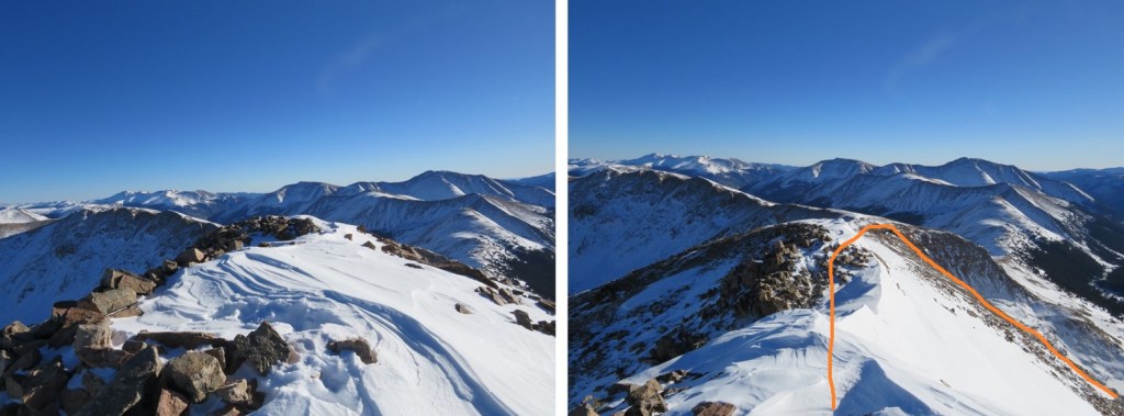
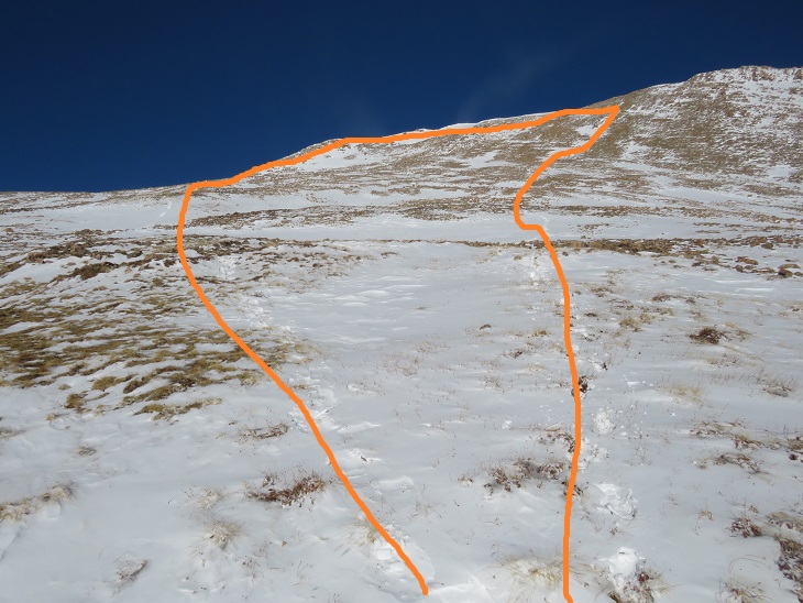
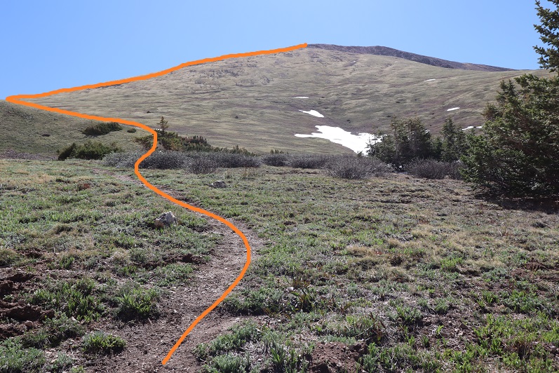
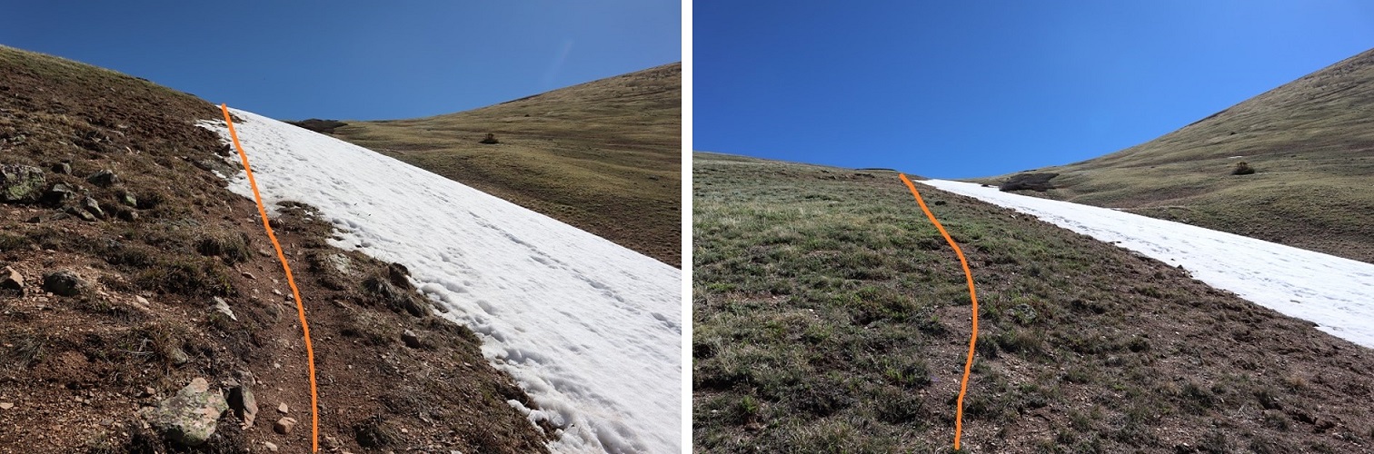
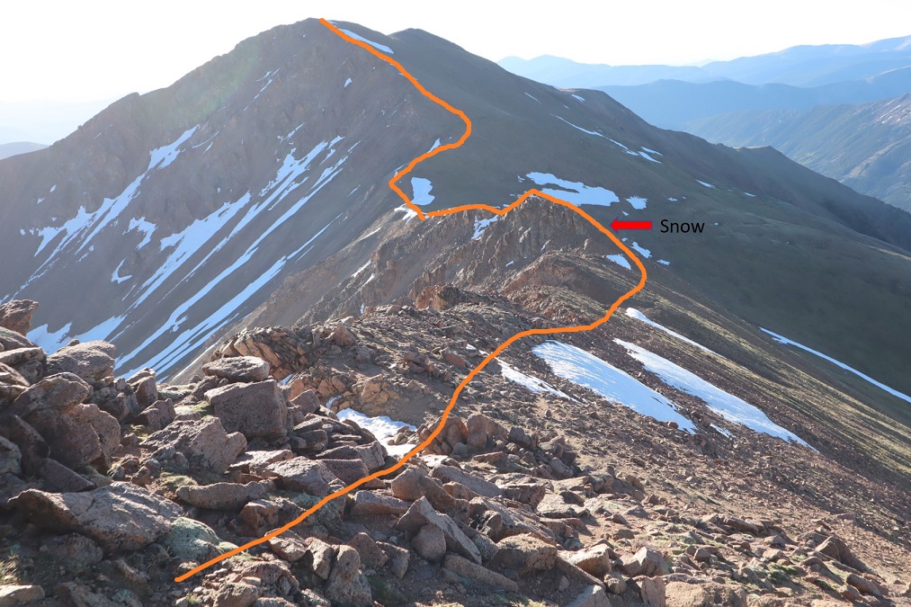
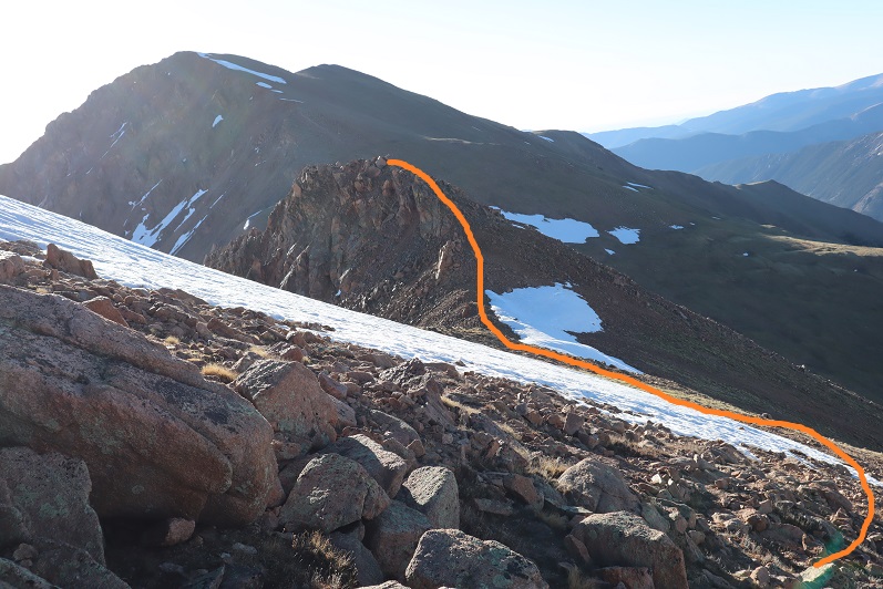
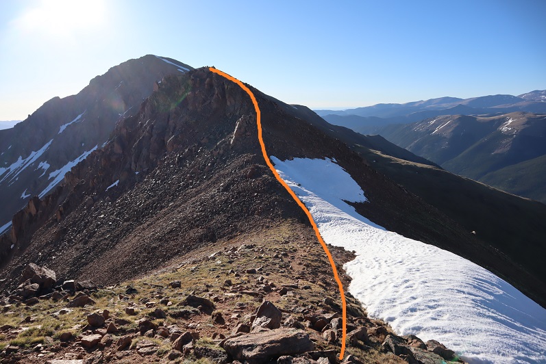
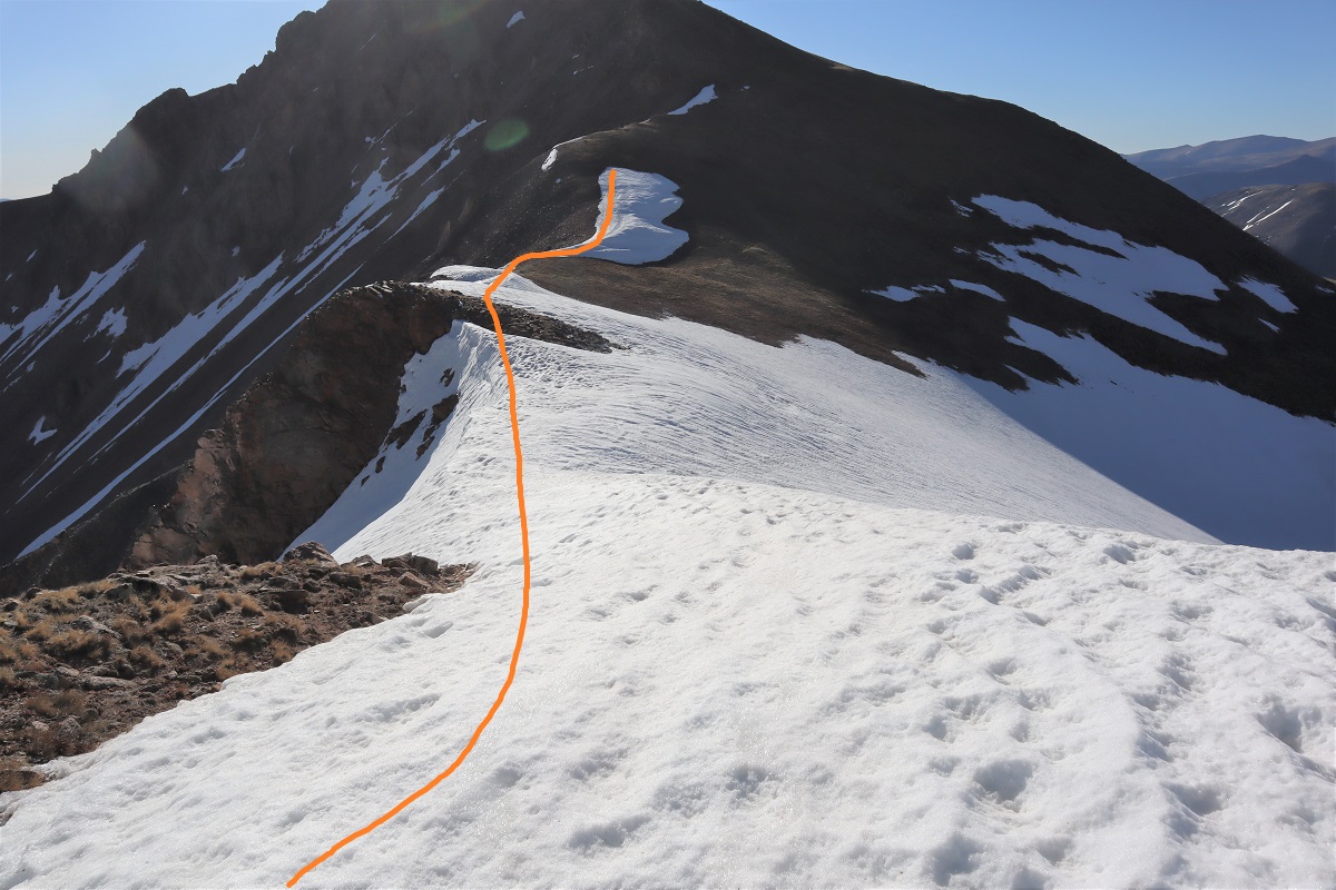
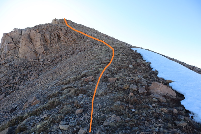
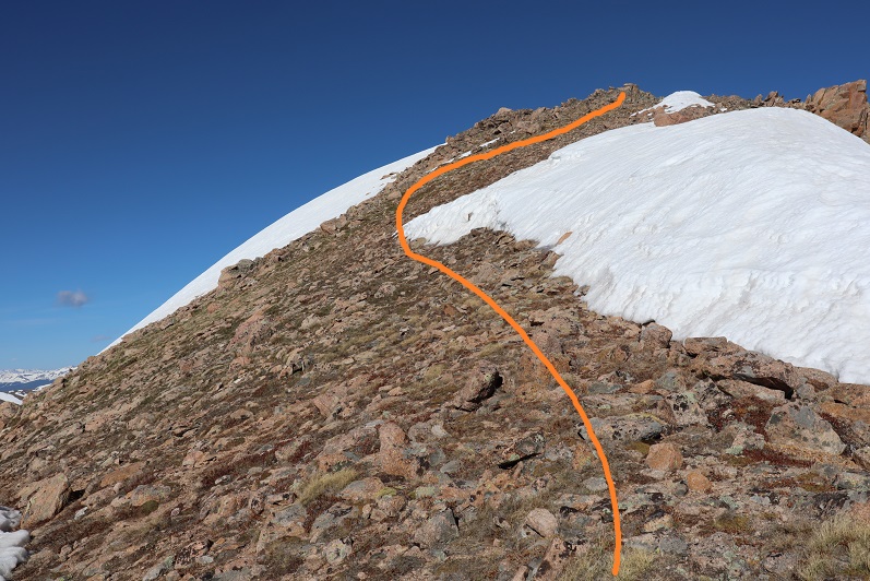
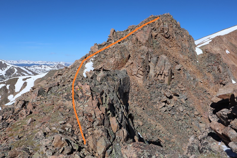
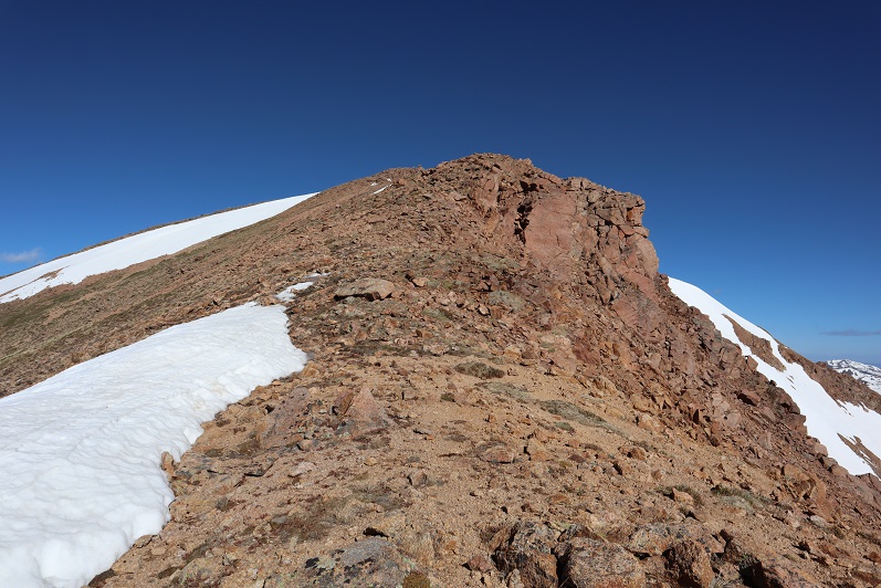
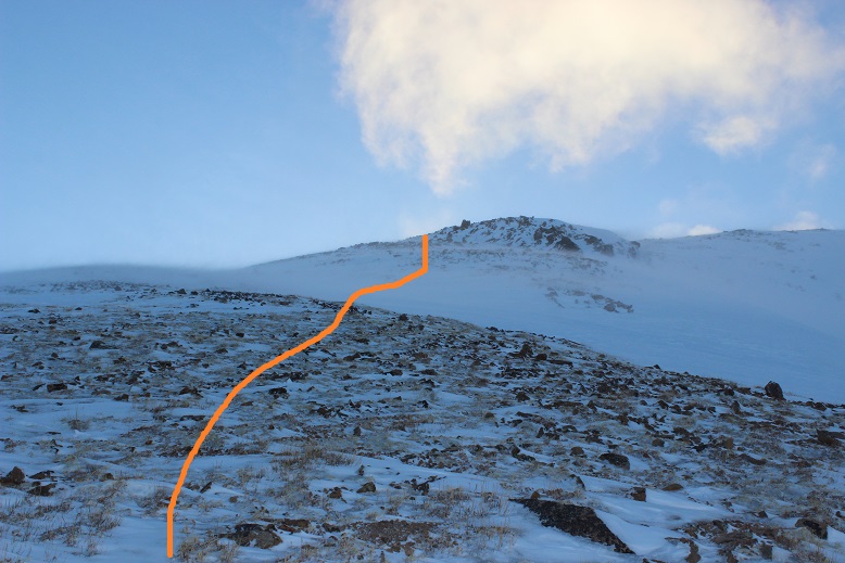
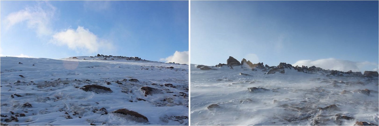
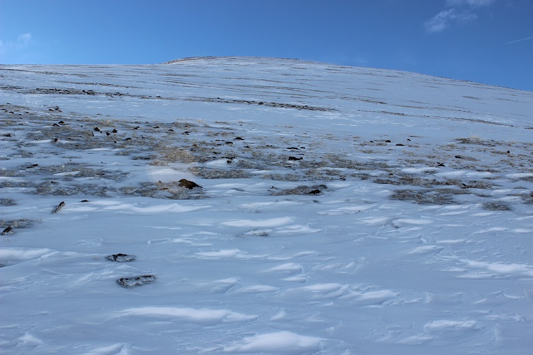
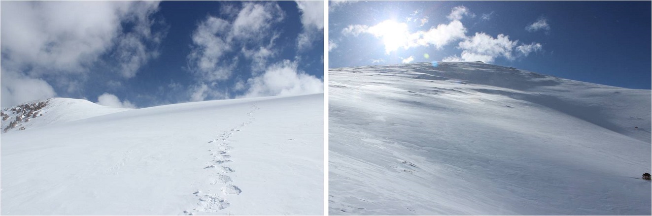
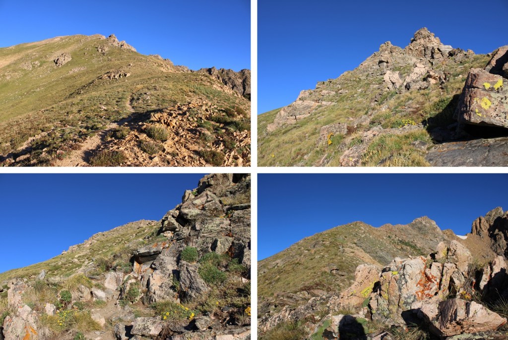
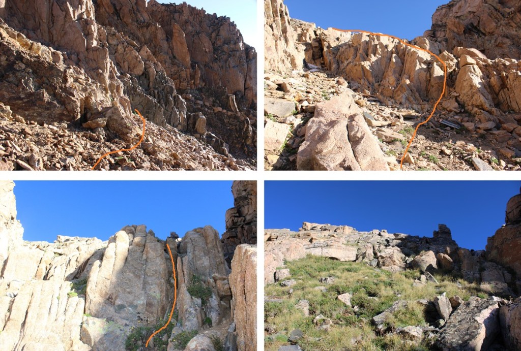
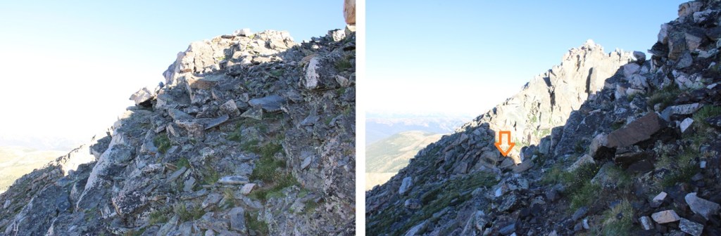
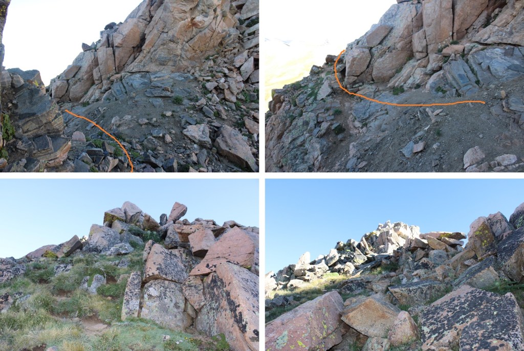
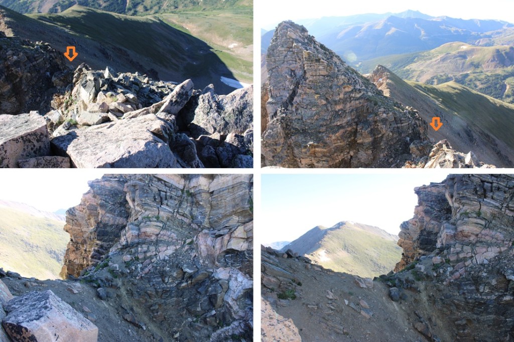
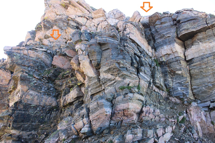
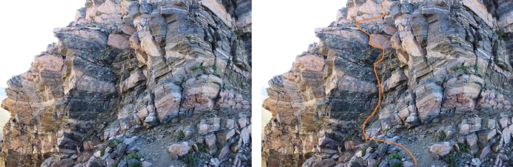
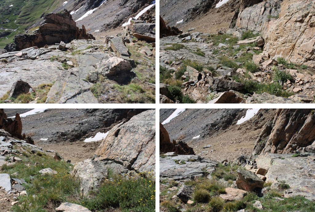
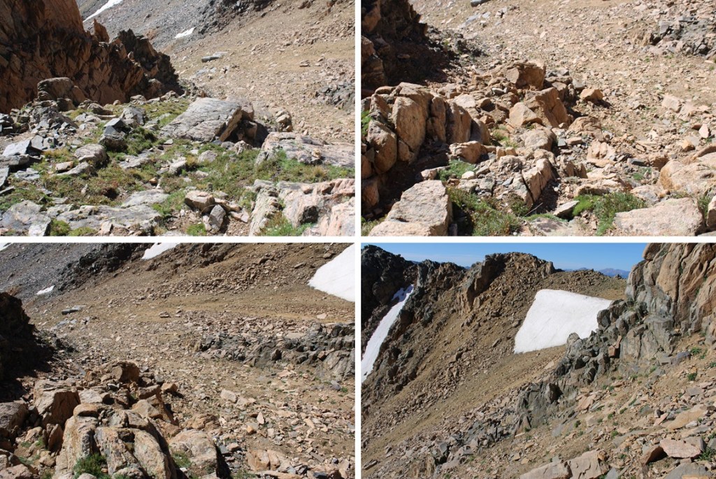
If you haven’t already, now is a good time to put on your helmet. From the saddle, head northeast and look for a solid band of rock. This rock band is important, because the gullies are miserable. Once on the rock band, ascend towards the tundra, then follow the line of tundra northeast. Once you’re on the tundra, you can stay on tundra until the top. This is class 3, and a slip would have you falling quite a ways, like hundreds of feet before you stop, so take care in this area. Here’s a visual representation of how I climbed from two different angles. It’s probably a good idea to start memorizing the route as you’re hiking up the ridge from the saddle of The Citadel and PT 12671.
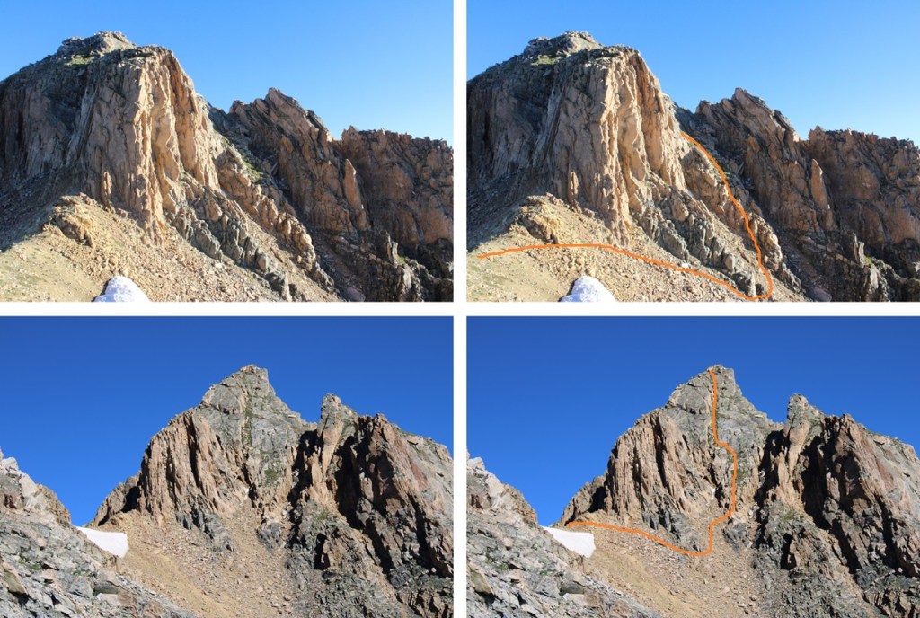
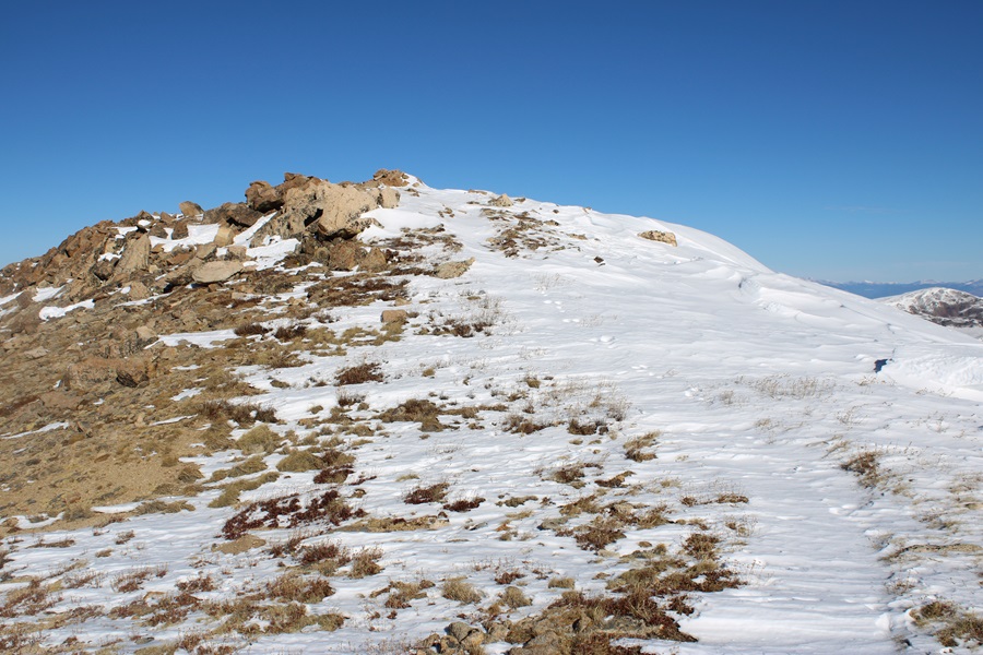
And some pictures of my route:
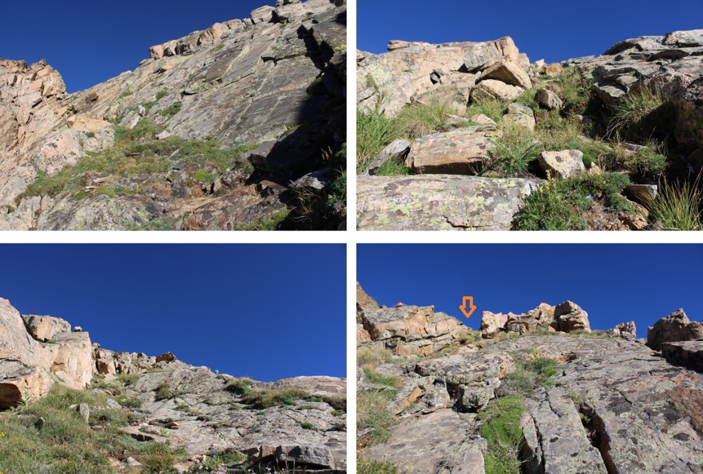
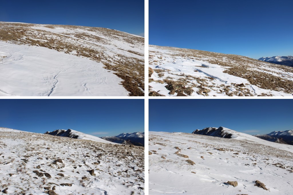
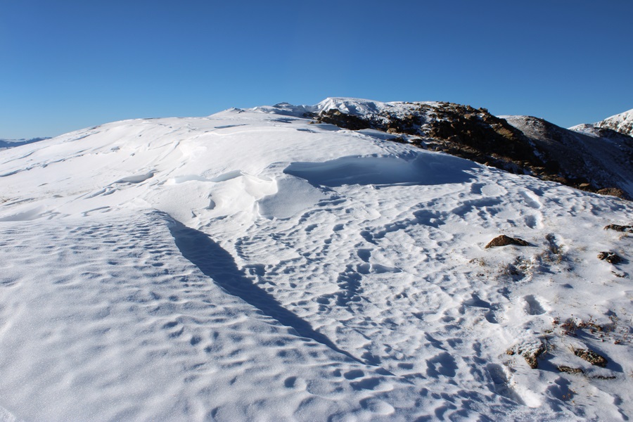
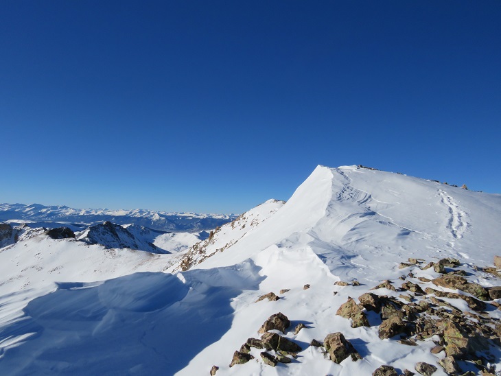
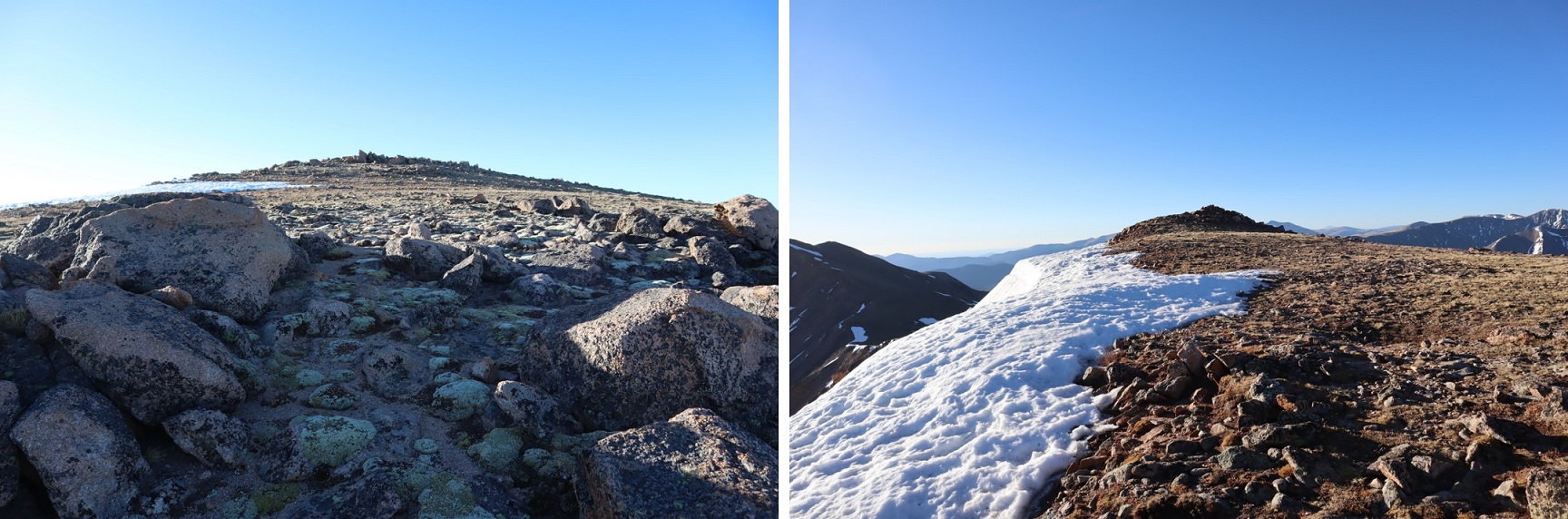
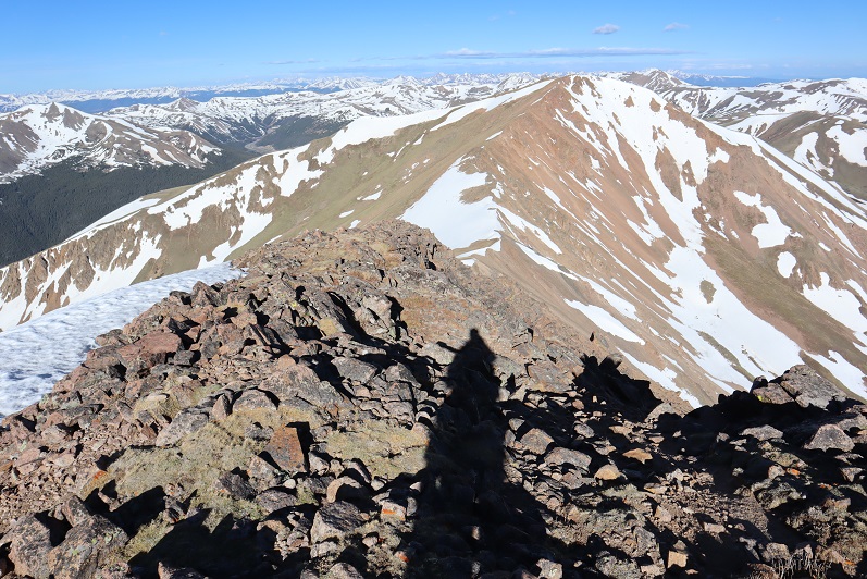
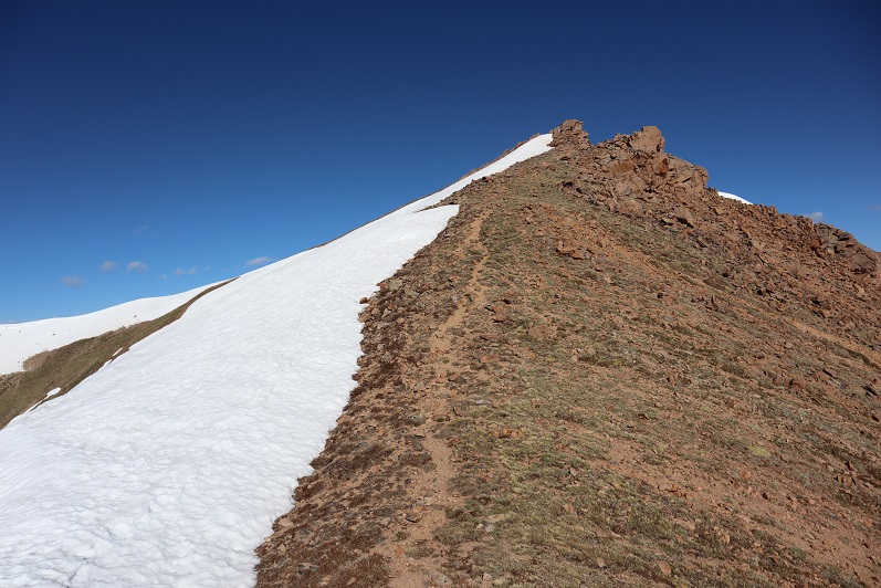
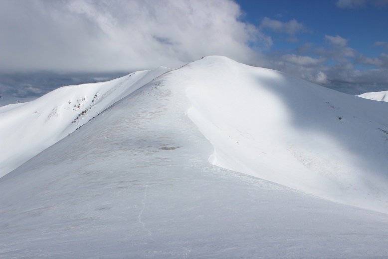
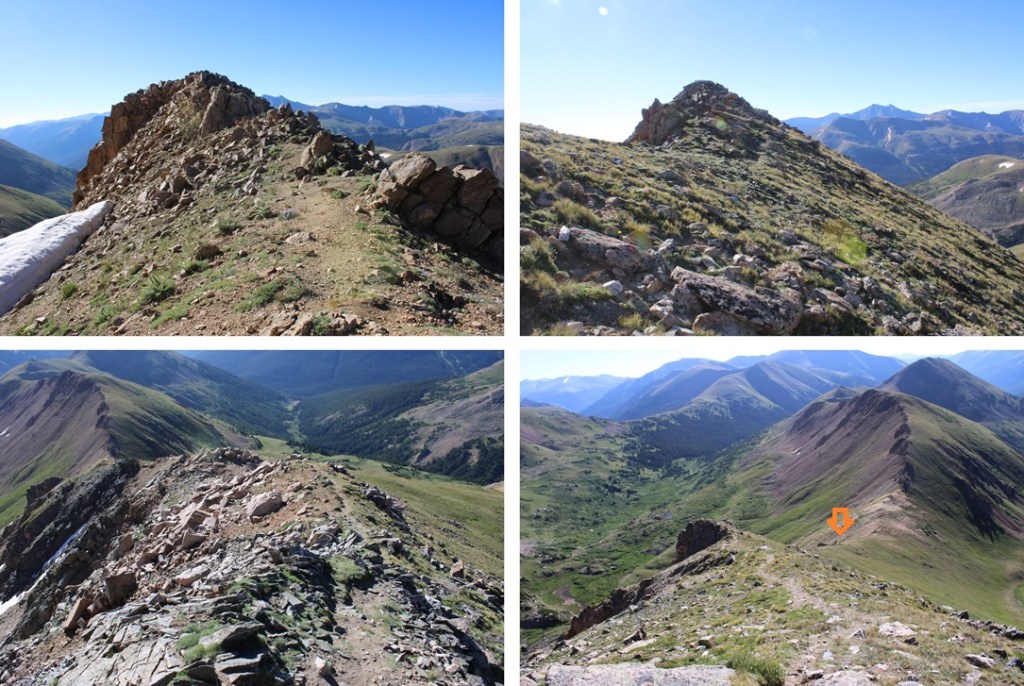
From here, to the north, I saw what I thought was the summit. It wasn’t, but I headed towards it anyways.
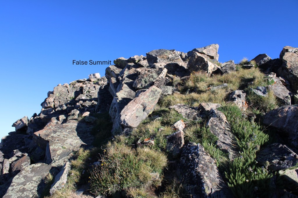
I made my way to the false summit, and could see the true summit to the west.
So, I downclimbed a bit, and headed towards the saddle ahead of me.
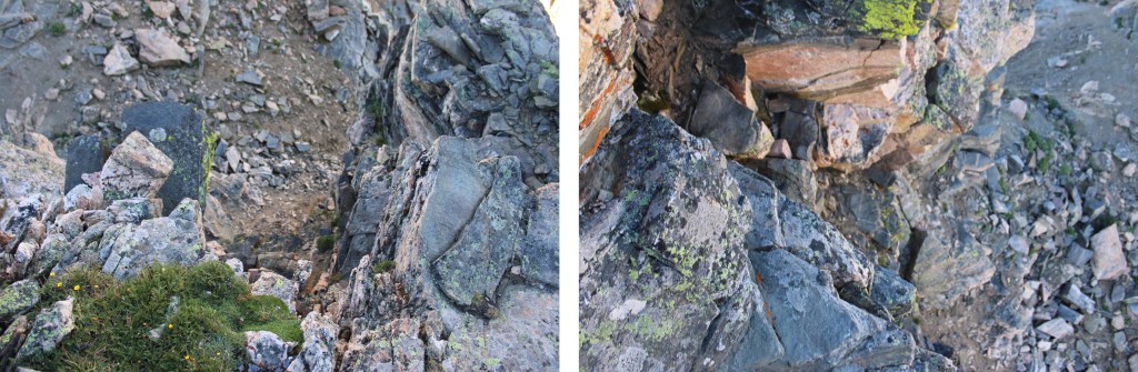
At this saddle, there was what I would consider a class 4 chimney to downclimb. I sat there for about 10 minutes, waiting for the wind to die down before downclimbing. The wind was insane, and I had to hide behind rocks to get away from it. The downclimb was much more difficult than the upclimb, as it was committing, and I wasn’t sure there would be adequate footholds down below where I couldn’t see (there were). Here’s what the wide chimney looked like to downclimb. It was probably 10-15 feet of downclimbing.
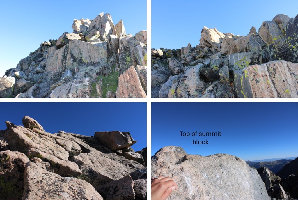
Now to head to the saddle, and summit the peak.
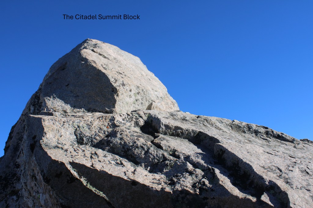
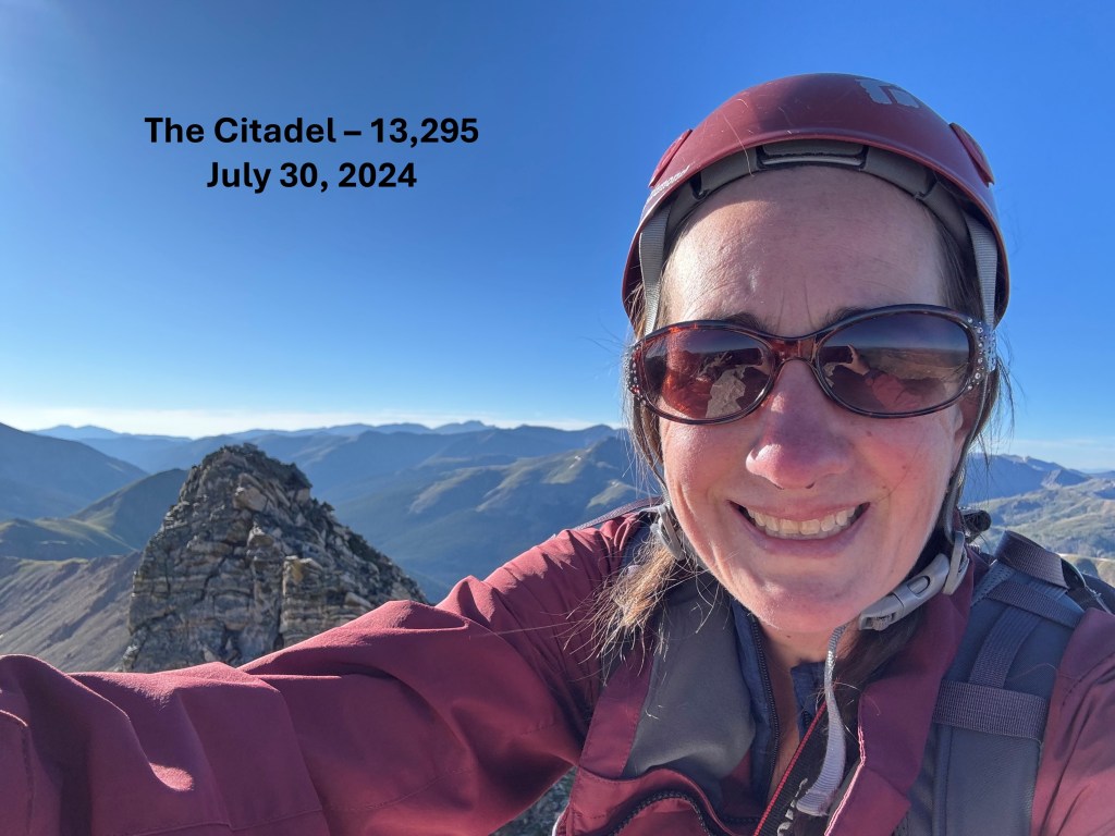
The summit was a short class 3 scramble to the summit block, which is a bit exposed. It was EXTREMELY windy today, and I had to hold on tight to keep from being blown over, but I was able to summit.
I summited The Citadel at 7:45am. Sorry for the terrible picture and less than stellar video… I only took 1 photo, because I was afraid of losing my phone to the wind, and there wasn’t much room to move around on that summit block without falling (once again, wind).
The Citadel:
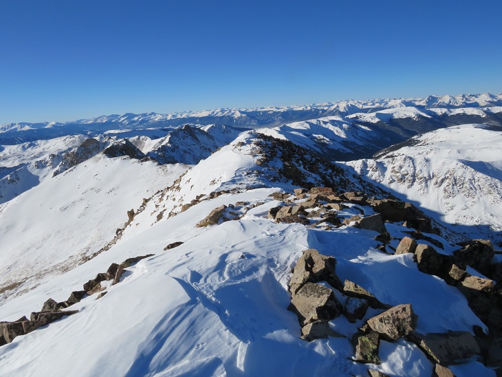
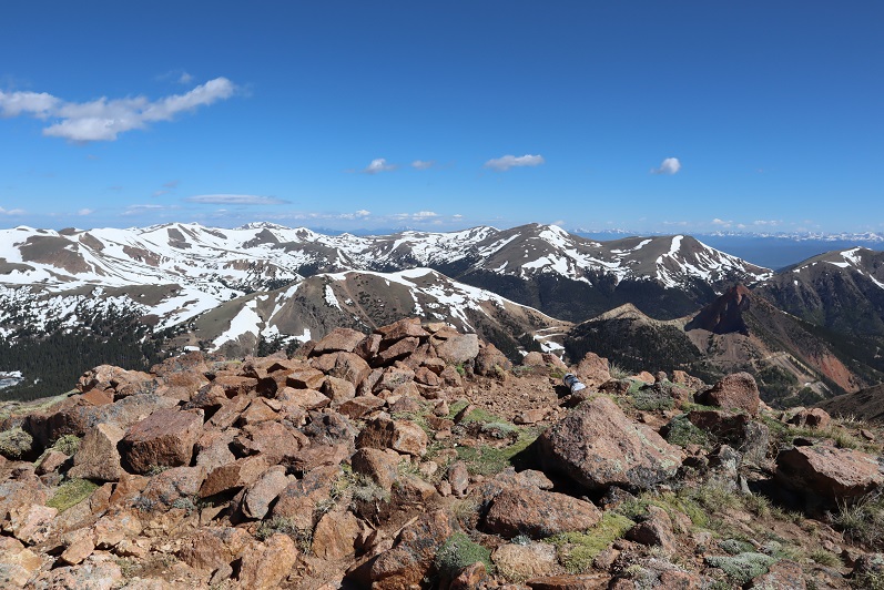
Here you can see the false summit to the east

I made my way back to the saddle between The Citadel and the false summit
Here’s a look at your options to upclimb. There are two, I took the one to the left do downclimb and upclimb.
And now to make my way back to the grassy ledge. There’s a cairn indicating where to descend.

And now to downclimb the grassy ledge. Once again, I stayed on the tundra until I reached the rock rib, then headed for the saddle to the right.

I was now back on a trail, and followed it to the saddle of The Citadel and PT 12671.
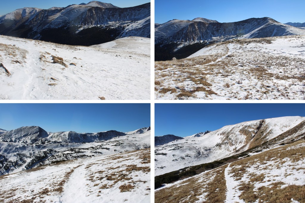
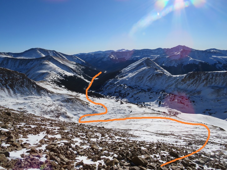
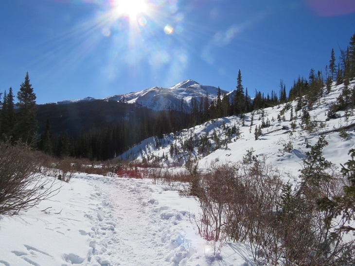
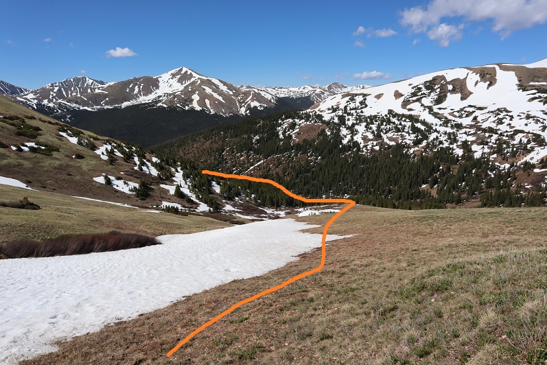
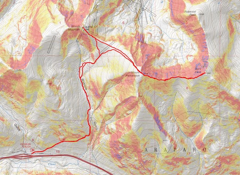
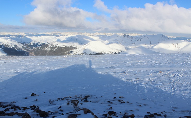
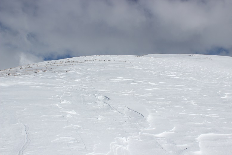
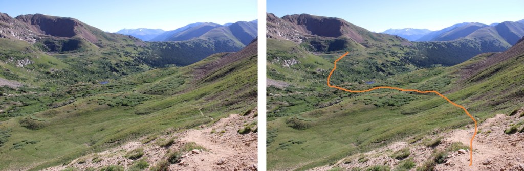
Here’s an overview of my hike to Herman Lake from the saddle. This was on a mostly class 1 trail, with cairns to help when needed.

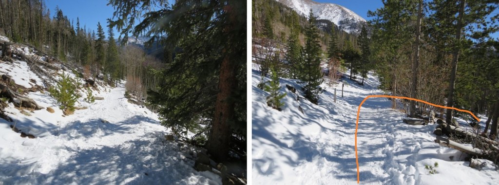
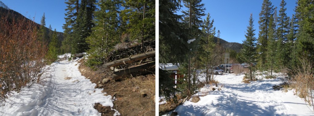
Back at Herman Lake, I followed the Herman Gulch trail east back to the trailhead. You’ll know you’re getting close when you can hear the illustrious sounds of I70 in the distance.

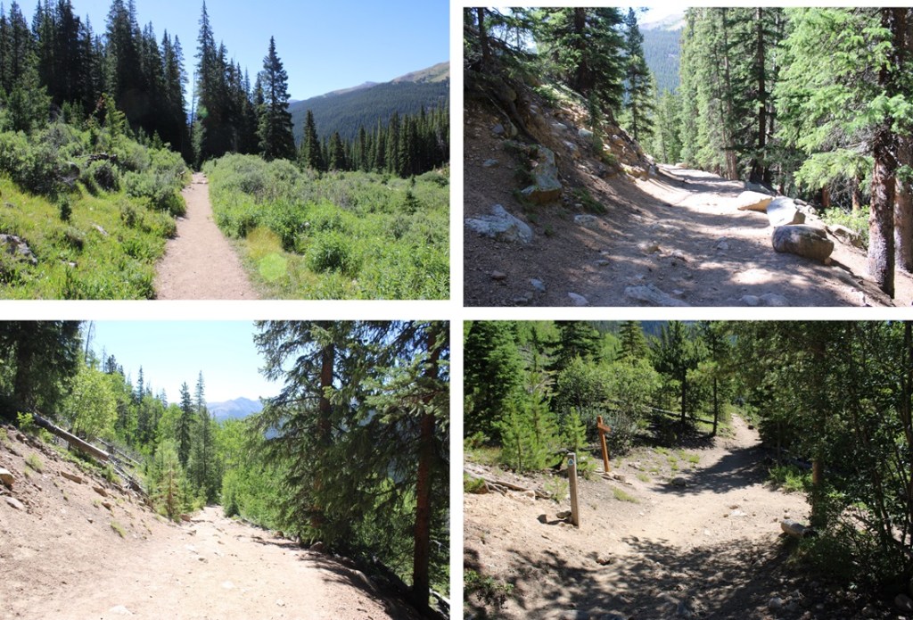

I made it back to my truck at 10:30am, making this an 11.45 mile hike with 3255’ of elevation gain in 6 hours.
On to the next trailhead!