South Twilight Peak – 13,105, Twilight Peak – 13,162, North Twilight Peak – 13,084

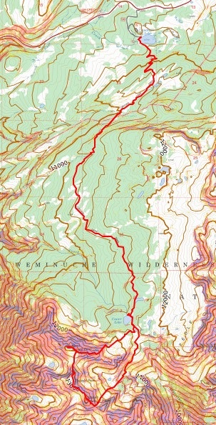
RT Length (from Andrews Lake): 17.11

Elevation Gain (From Andrews Lake): 4573’

I arrived at the Andrews Lake trailhead and noticed a rather robust coyote sitting along the shoreline, just staring.  He wasn’t bothering anyone, so I let him be.

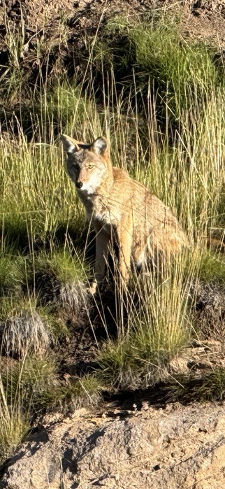
About 20 minutes later, I heard a woman screaming from not too far away.  The coyote was attacking her Golden Retriever (which was luckily leashed).  I ran over there with my trekking pole to help her out.  The coyote had been stalking them for a bit and wanted the dog as food.  After scaring the coyote away, we chatted for a while, and she told me this wasn’t the first time her and her dog had been stalked by a coyote.  I was surprised the coyote would be so bold as to go after such a big dog.  We quickly became friends, exchanged contact information, and we were both on our way.

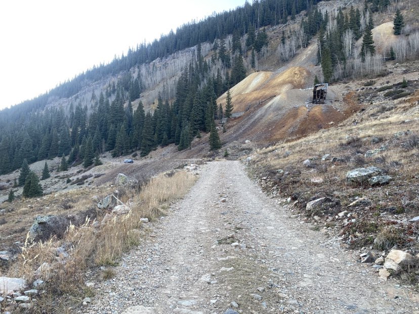
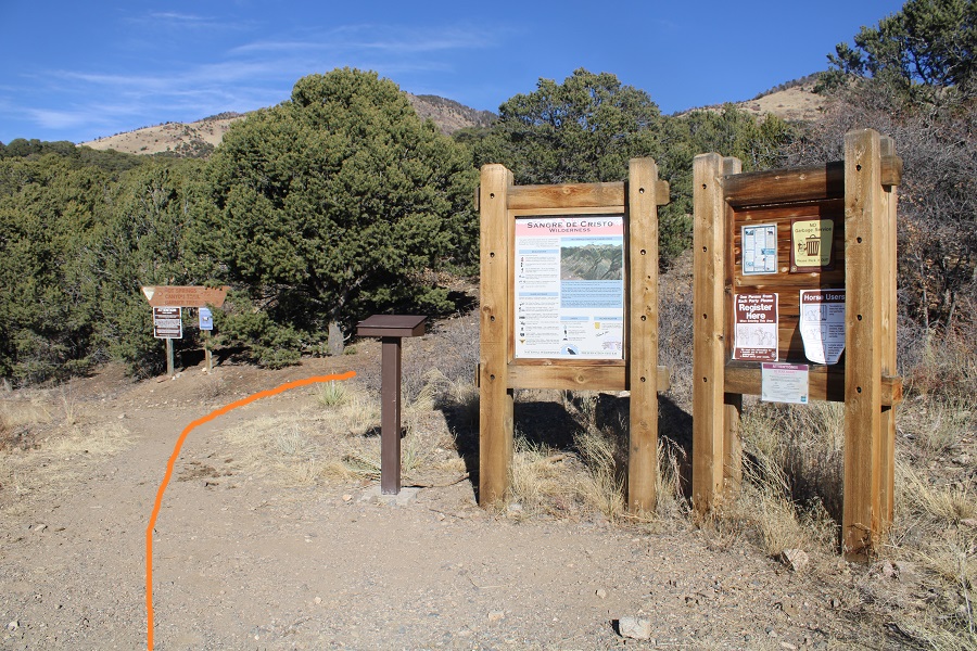
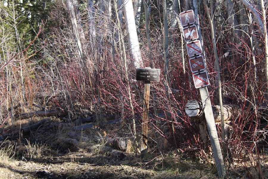
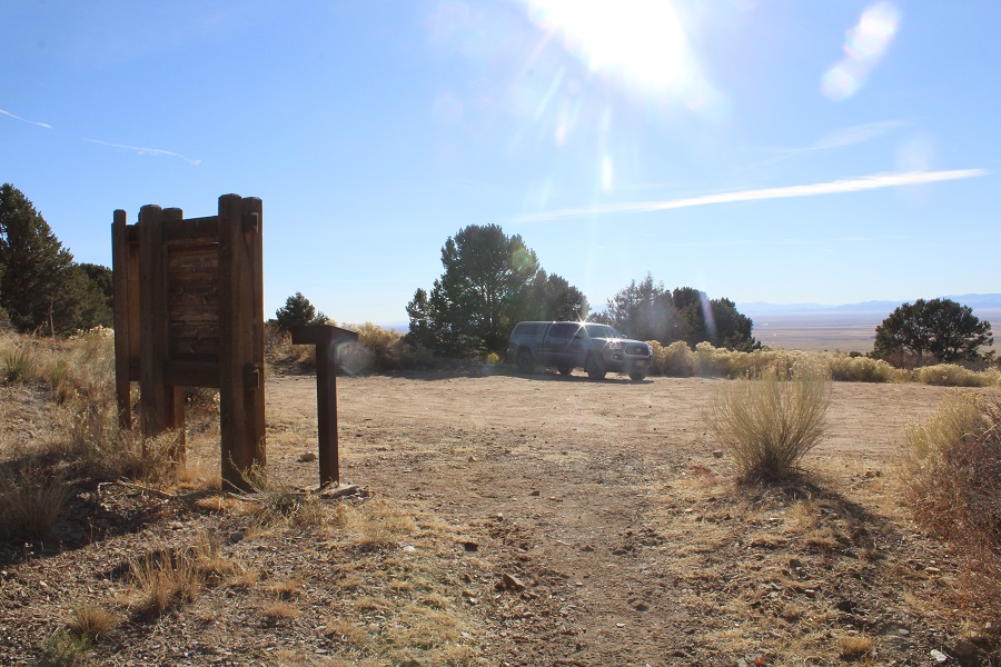
I started my hike at the Andrews Lake Trailhead, which is at the west end of the lake.  The trailhead has vault toilets (but women be mindful:  the door lock moves left and right but doesn’t actually lock).  There are about 15 parking spaces here, with an overflow lot on the way in to accommodate more vehicles.

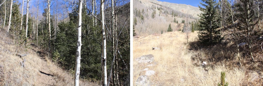
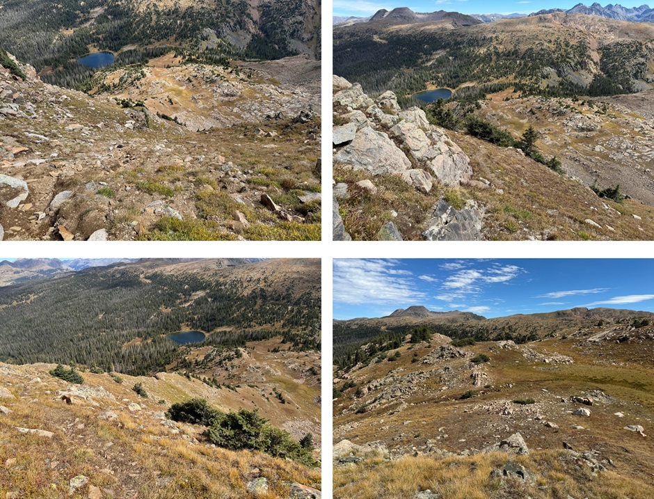
My goal for day 1 was to make it to Crater Lake, since I had a late start, not starting until about noon.  I followed the class 1 trail as it skirted the lake, then switchbacked up to some ponds at 11200’

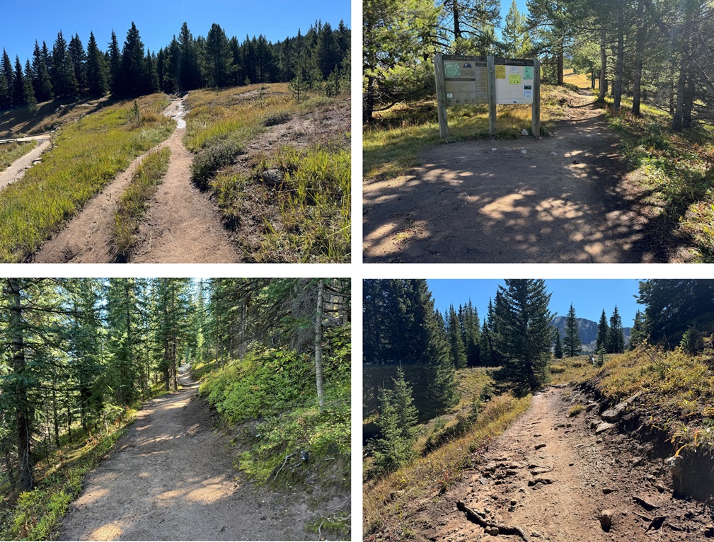
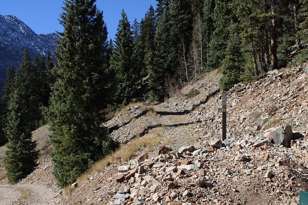
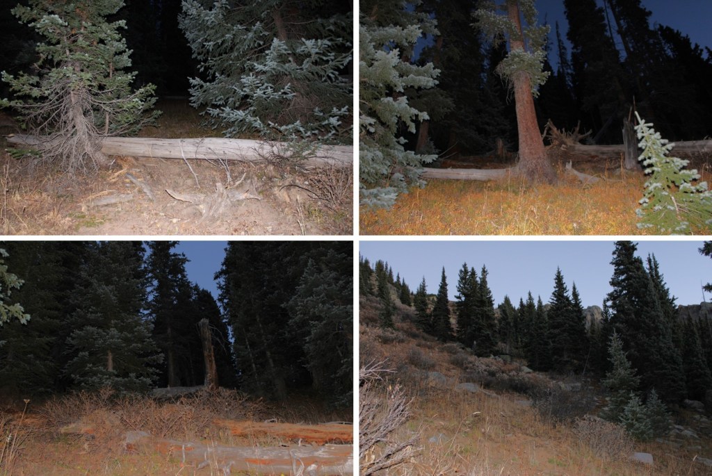
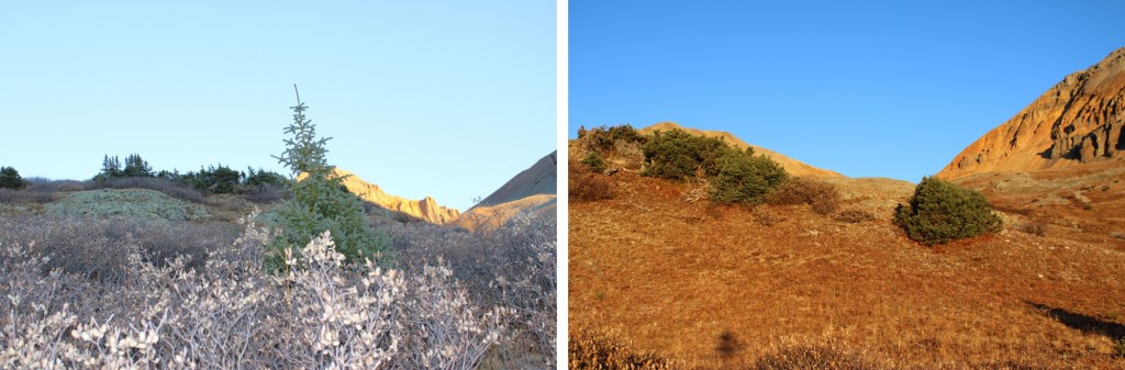
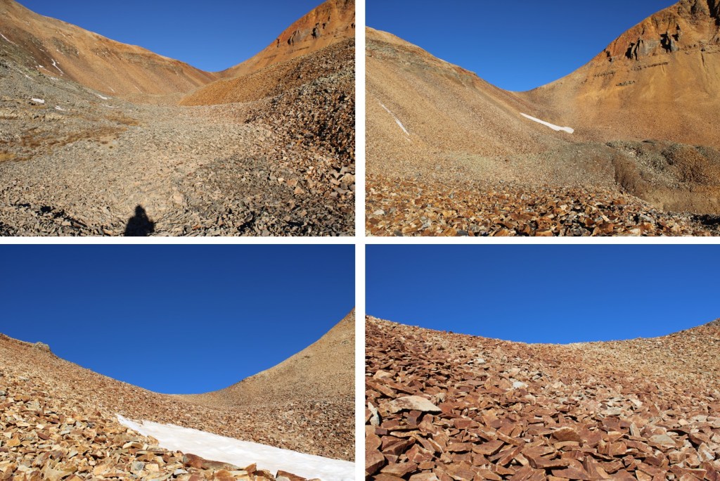
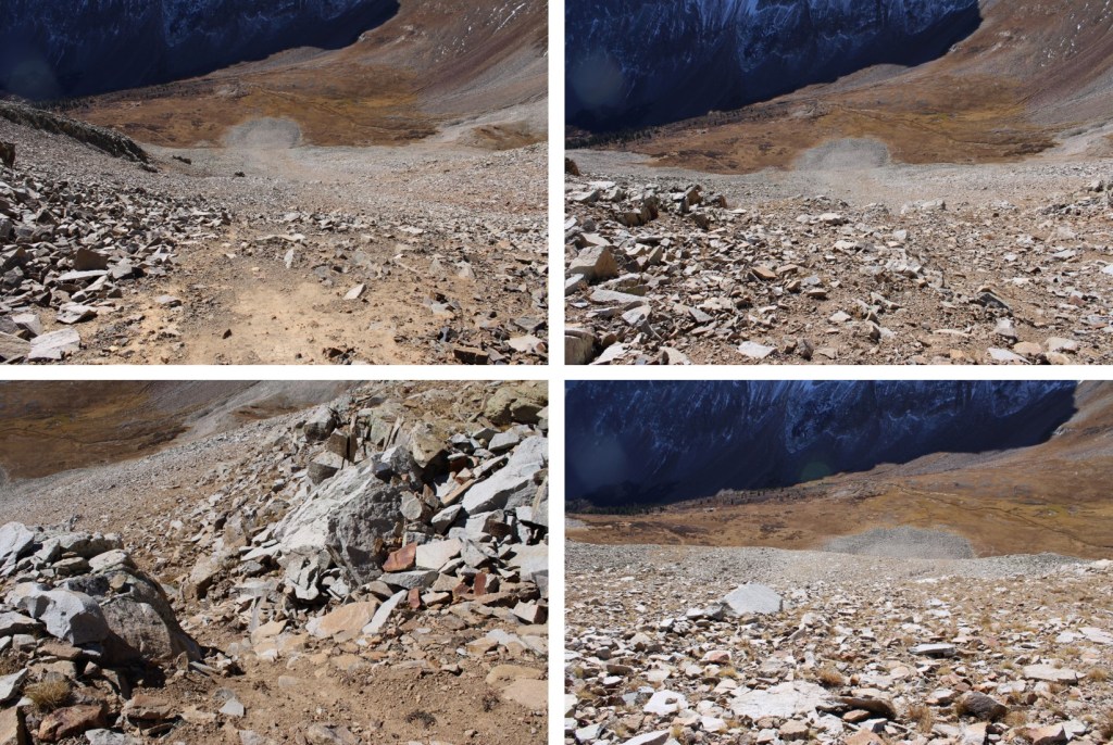
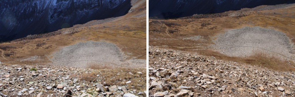
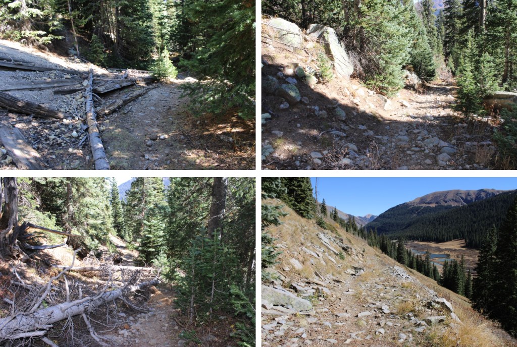
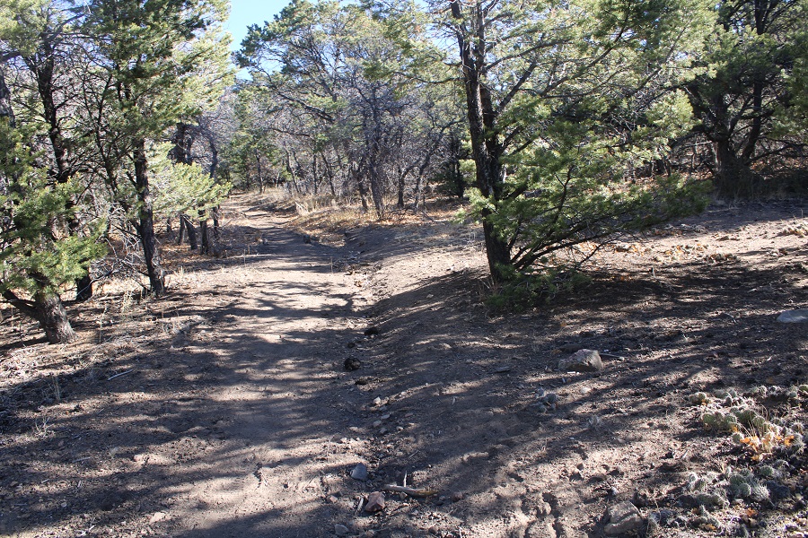
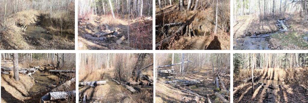
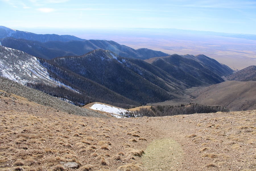
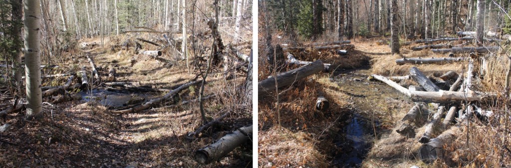
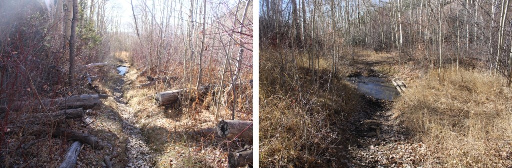
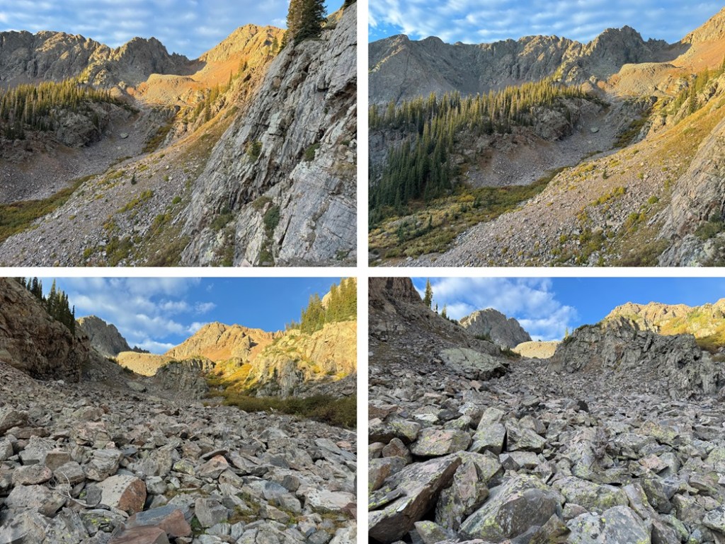
I then continued following the trail as it wound south to crater lake, rolling up and down in elevation as it went.  Pictures of this trail are difficult to give reference points to, as most of it was below treeline and the views were always the same.  However, there are no junctions or side trails, so just stay on the main trail and it will take you to Crater Lake.  There are several small creek crossings that are easily manageable, and the trails were a bit muddy.

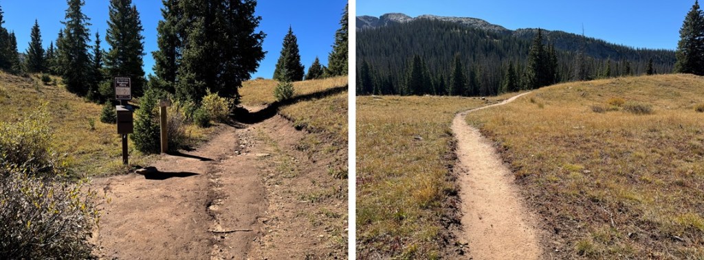
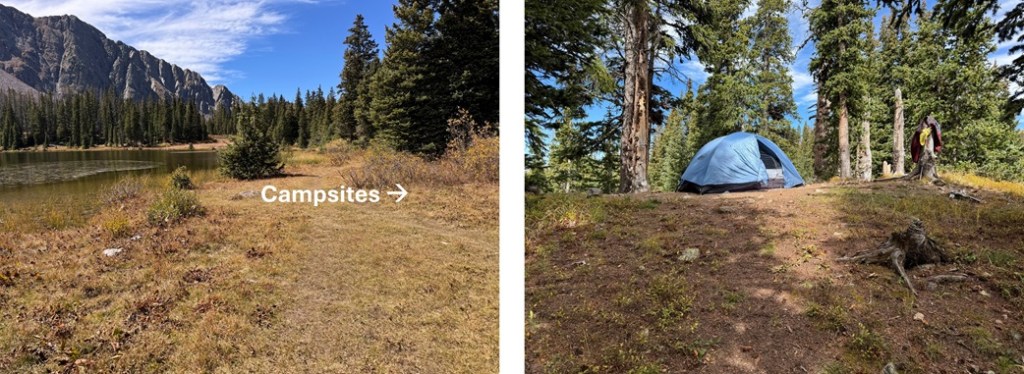
It was 5.5 miles and 1530’ of elevation gain from Andrews Lake to Crater Lake.  It took me 2.5 hours to get there with a full pack.  There are some good campsites up the slope in the trees to the north of the lake (your right when you arrive).  I set up my tent and made it an early night. 

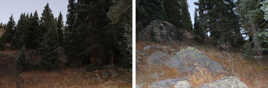
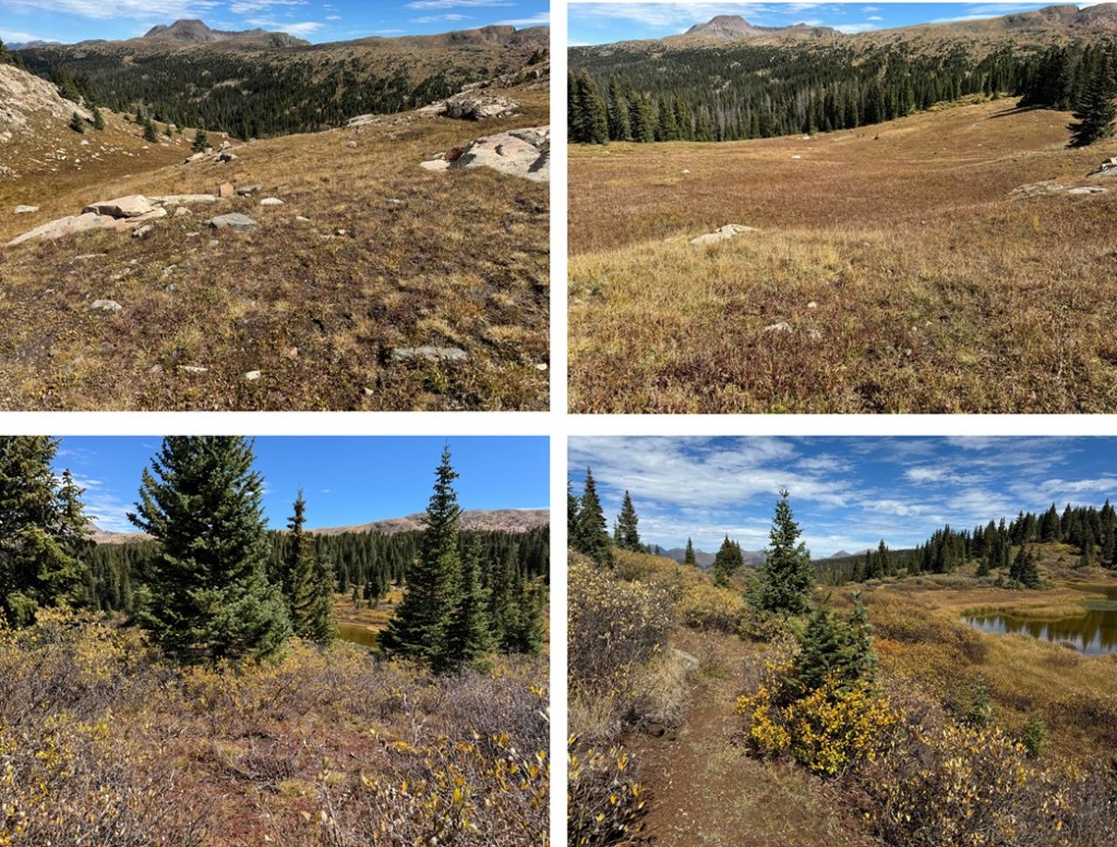
The next morning I was up and on the trail at 7am.  To the left (east) of the lake there’s a trail that will take you through the willows and up to another small pond.

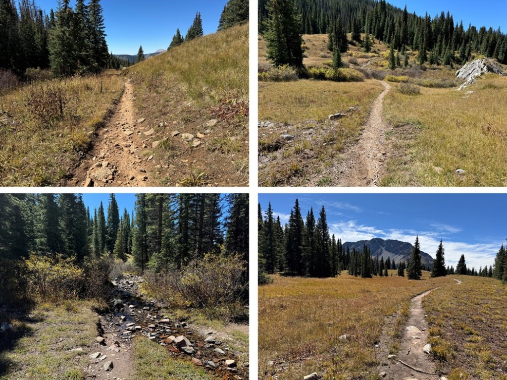
I skirted the small pond on a trail to the left

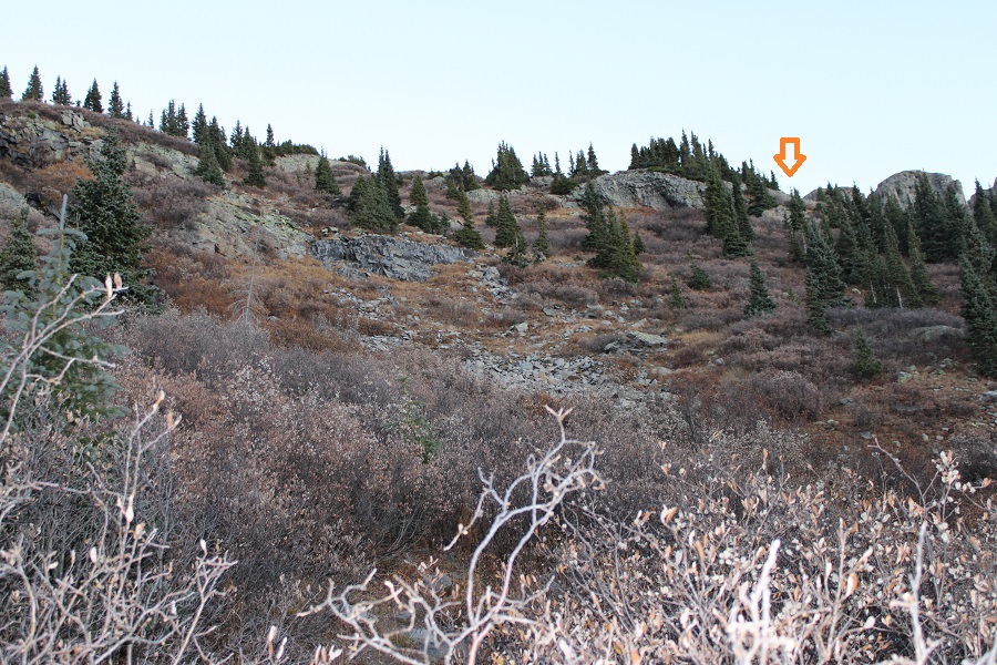
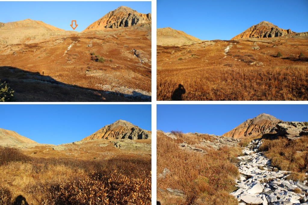
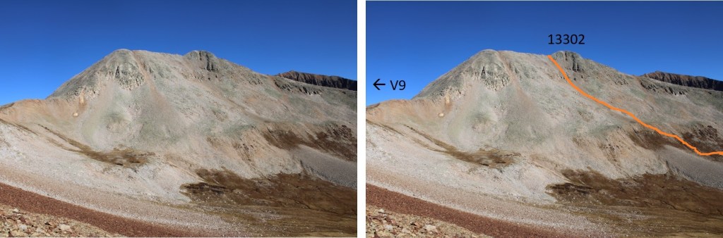
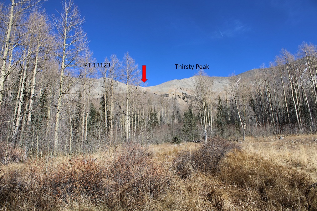
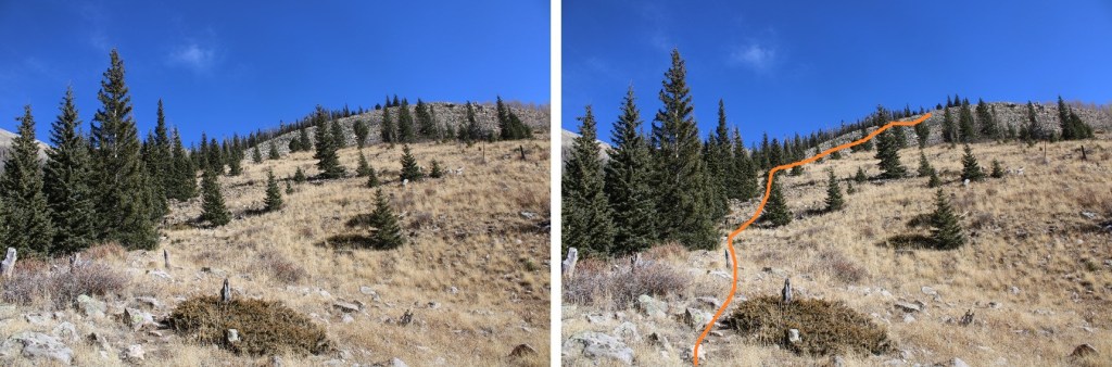
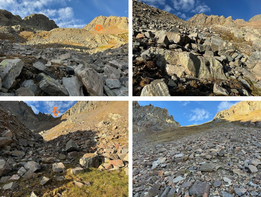
And then the trail ended, but I could see my route to the southwest.   Here is where I was aiming:

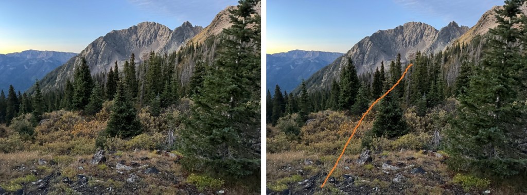
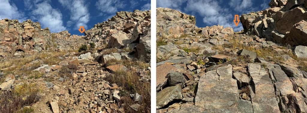
To do this, I went down a grassy gully, then headed southwest, losing about 400’ of elevation total as I rounded the mountain, avoiding the rocky gully below.

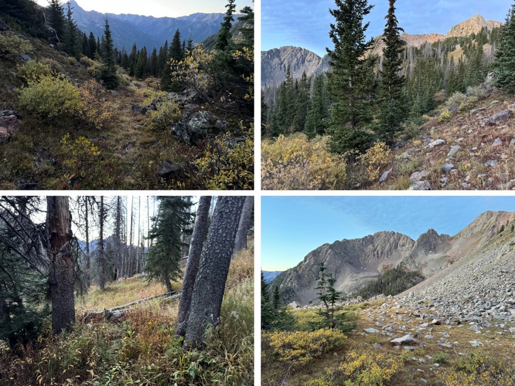
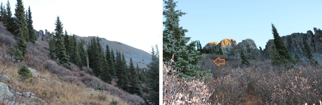
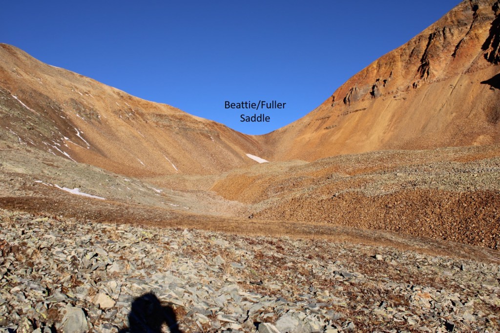
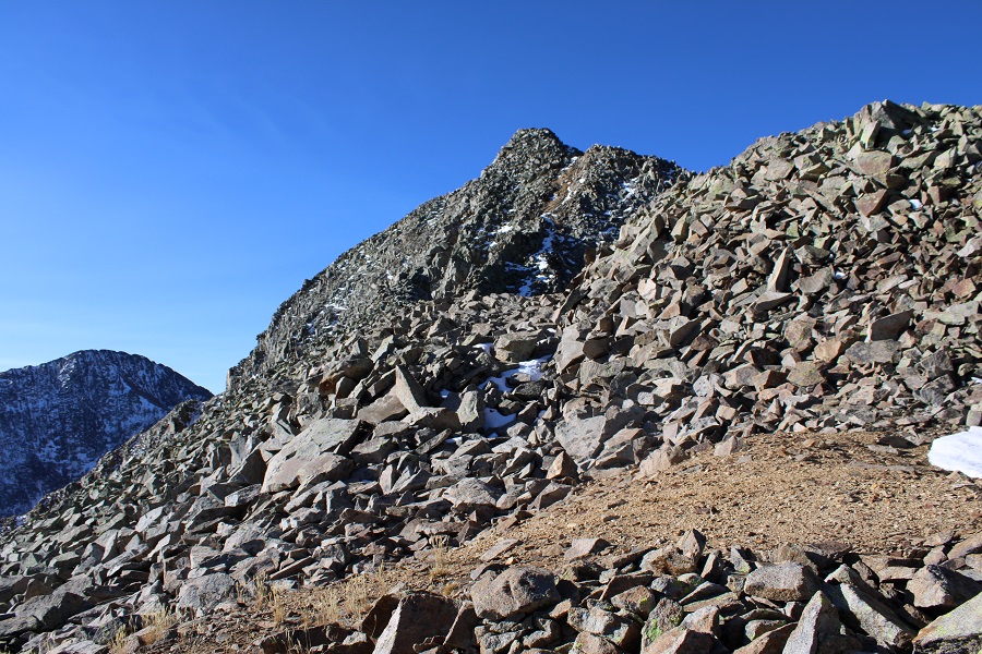
I made it through the trees, and the terrain became rocky.  I was headed towards a saddle to the left of South Twilight Peak. 

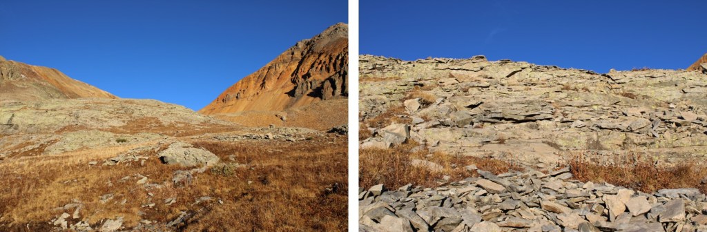
This is choose your own adventure.  I chose to stay low, heading for the small stream below, then ascend by following the tundra, going to the right of the rock pile (it’s obvious as you get higher), and up the tundra slope. 

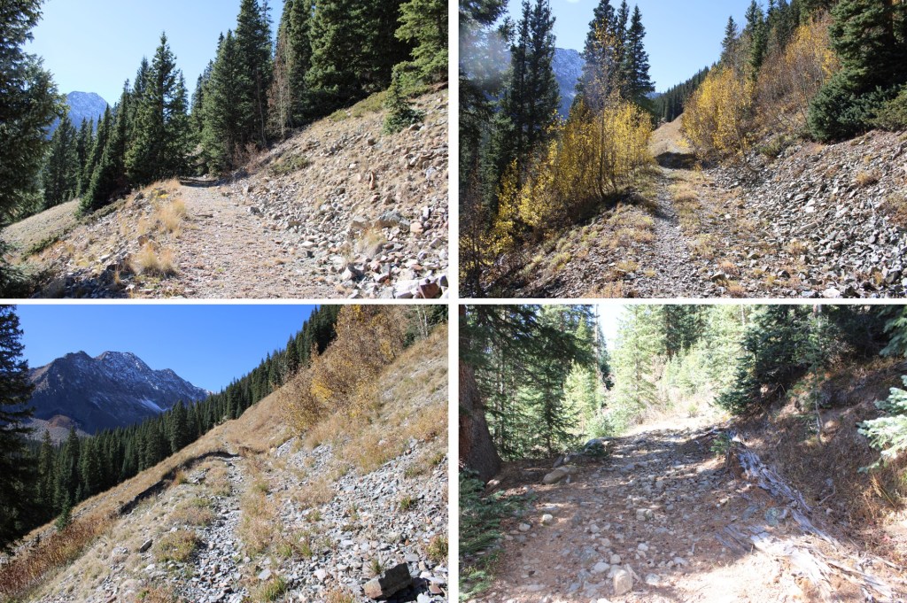
Here are some pictures of my way to the saddle:

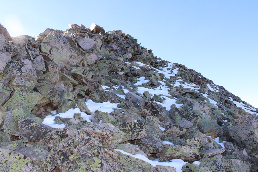
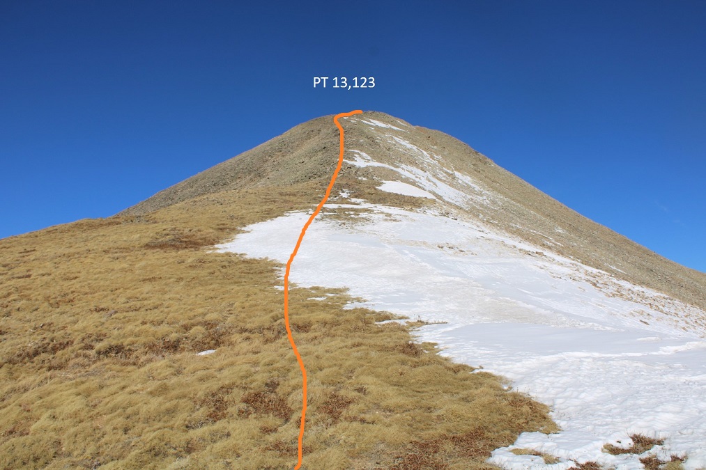
Once on the saddle I turned right, and scrambled northwest to the summit of South Twilight Peak.  This was mostly class 2.  I just looked for grassy gullies and ascended them, heading northwest, until I came to the top, then walked the short distance southwest to the summit. 

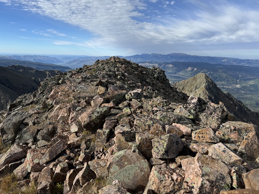
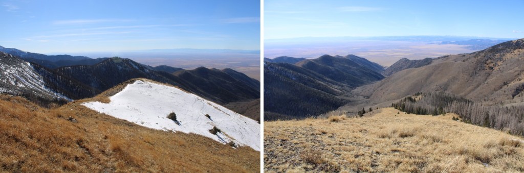
I summited unranked South Twilight Peak at 9:10am

South Twilight Peak:

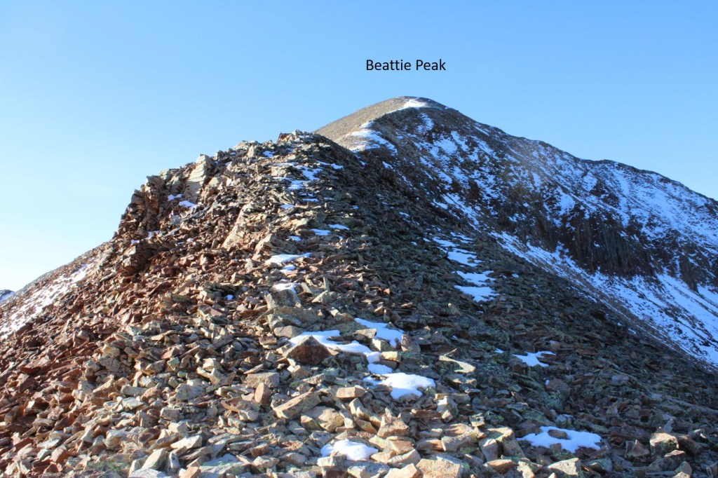
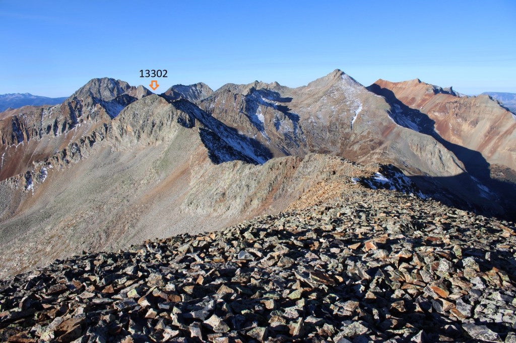
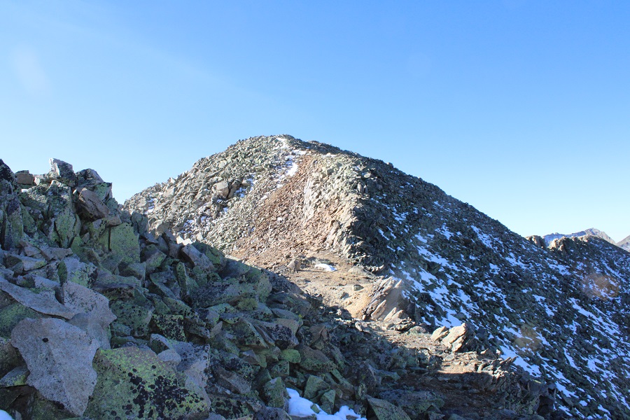
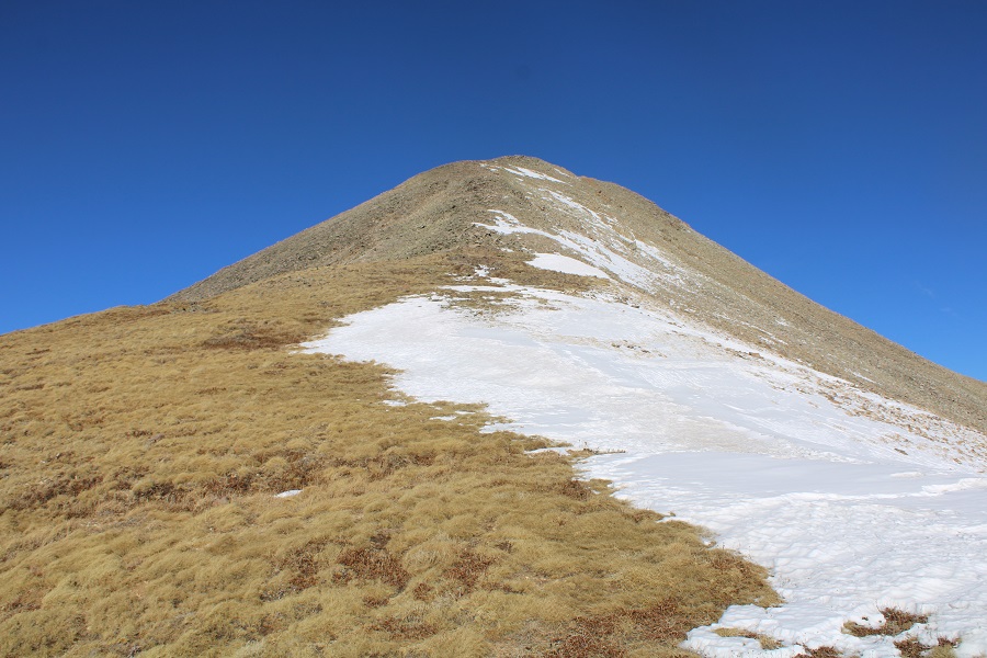
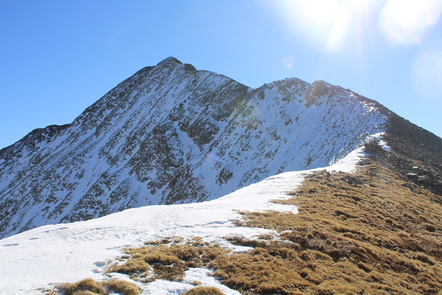
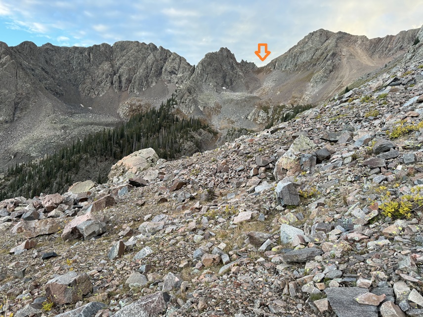
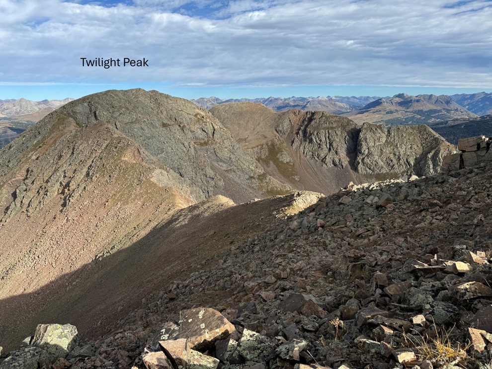
From South Twilight Peak, Twilight Peak was to the northwest.

It was a class 2 tundra/rock walk to get there that only took me 20 minutes.  This is the route I took, sticking mostly to the ridge.

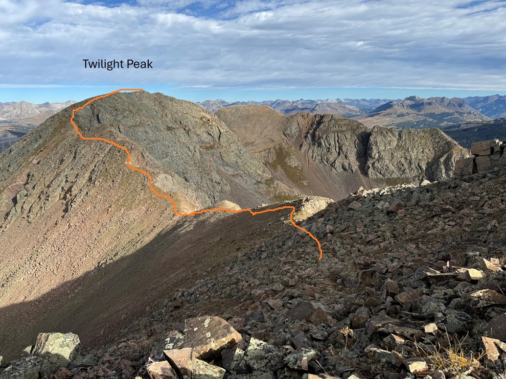
There was a bit of a false summit.  The summit is to the north.

I summited Twilight Peak at 9:30am.  Sorry, no summit video: I thought I took one, but when I uploaded it, it was only 1 second long, so it wasn’t very helpful. 

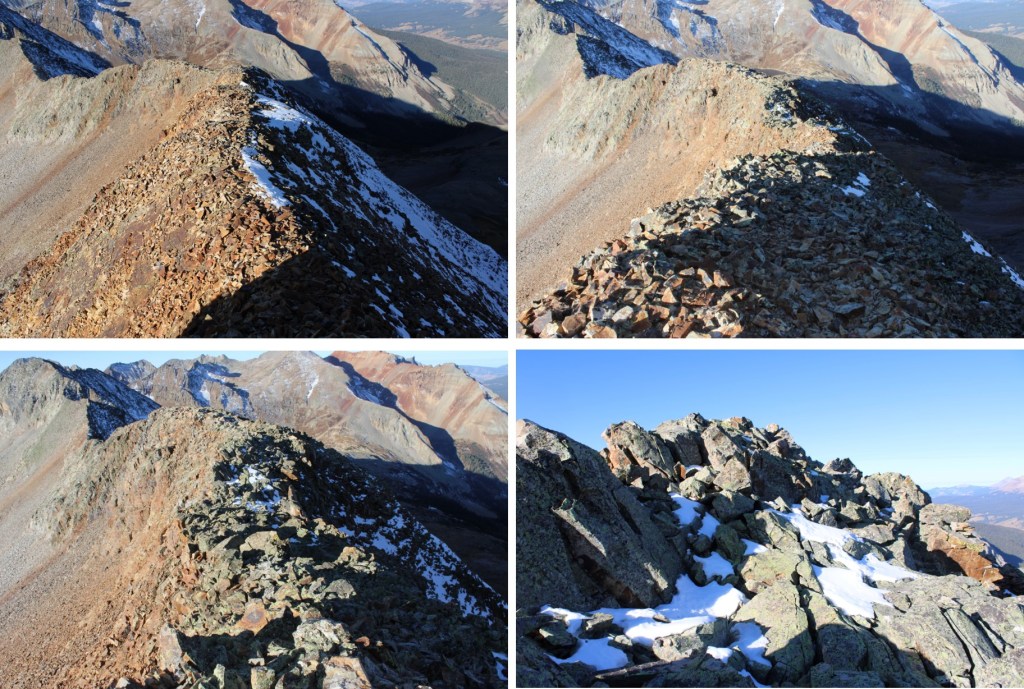
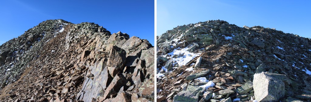
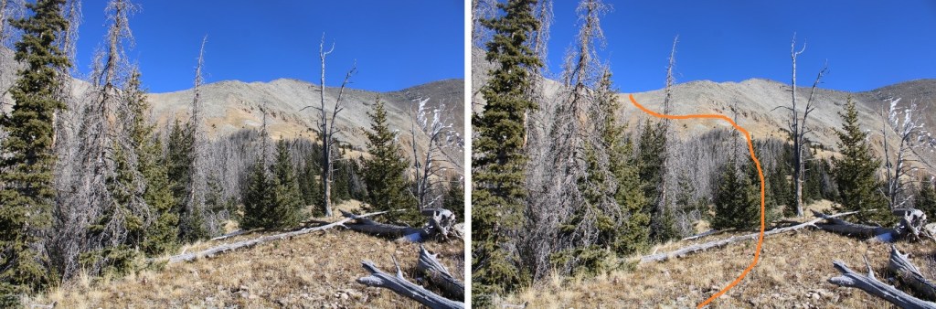
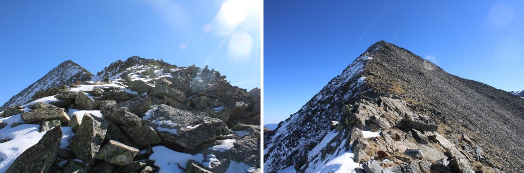
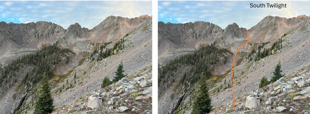
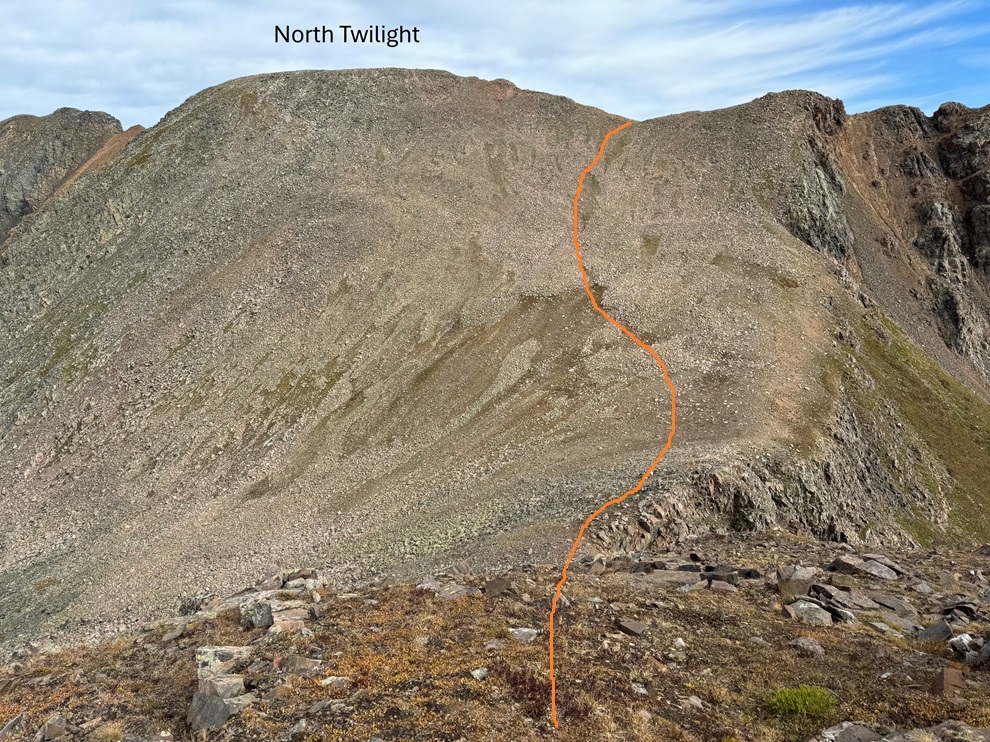
From the summit of Twilight Peak, I could see North Twilight Peak to the North.

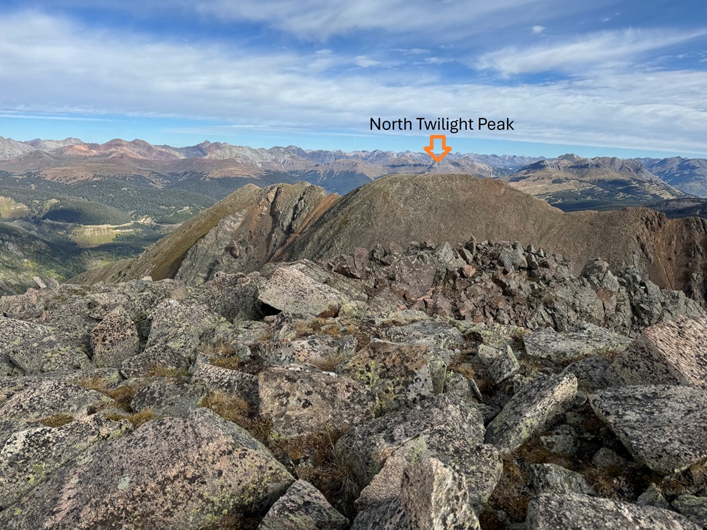
To get there, I continued following the ridge north.

It was all class 2 until I got here. 

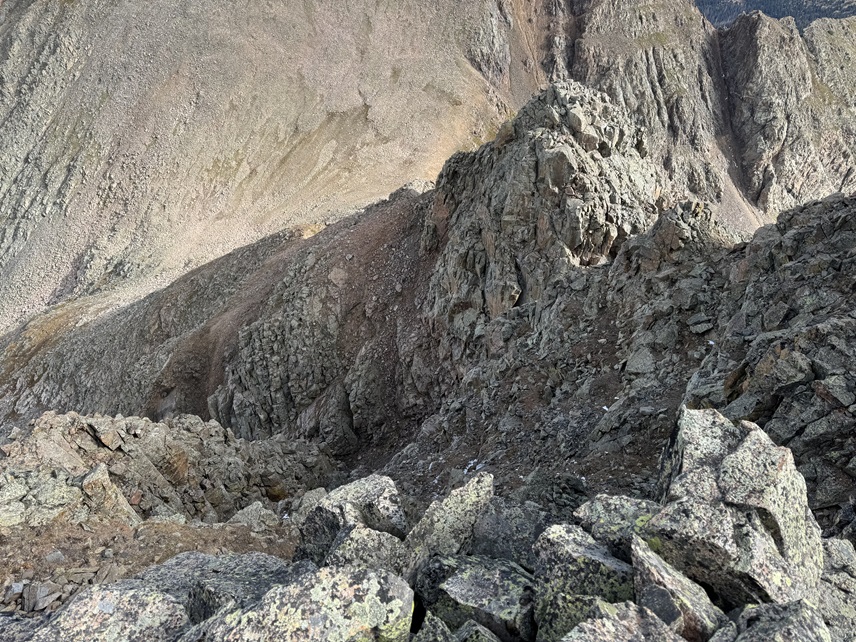
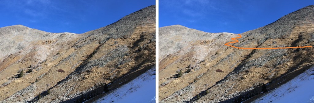
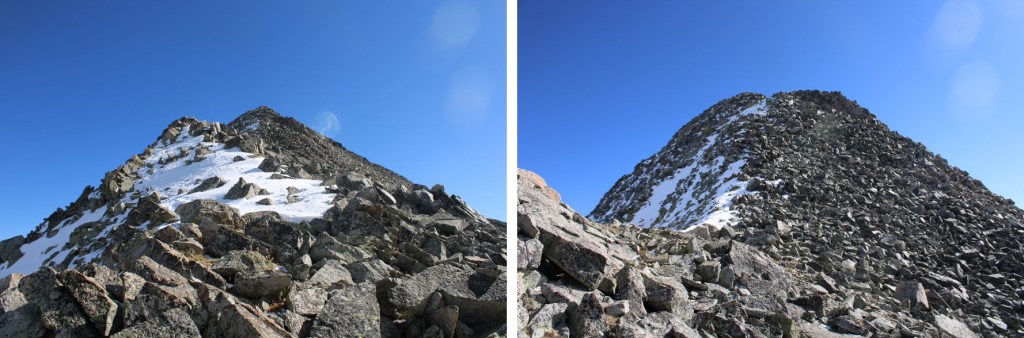
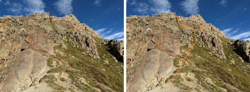
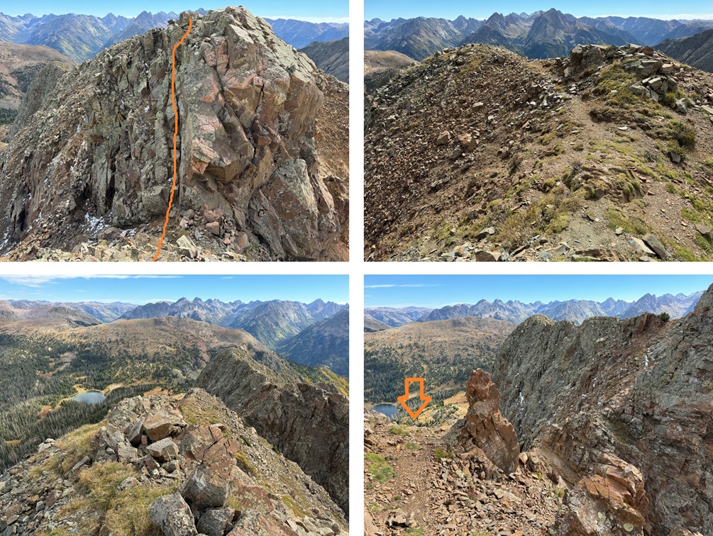
This is where the route finding and class 3 fun began.  If you haven’t already put on your helmet, now is a good time to do so.  I could tell there were a lot of ways to navigate this ridge successfully, but many would end in getting cliffed out.  I chose to go right.  Here’s an overall view of my route out of this fun.  There’s a hidden gully I took to get back to the ridge.

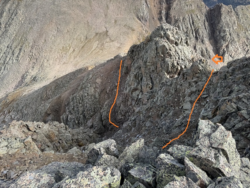
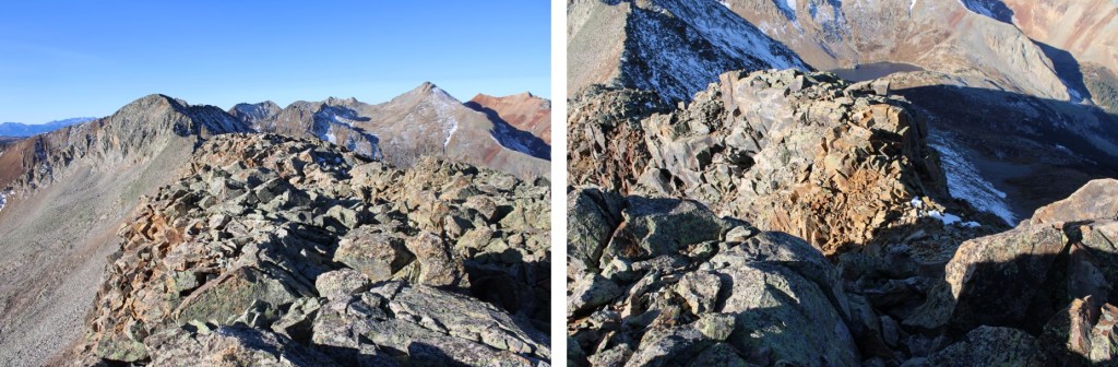
This is class 3, and pretty steep, but if you choose your line carefully and drop down just to the right of the gully, the gully is easy to access.

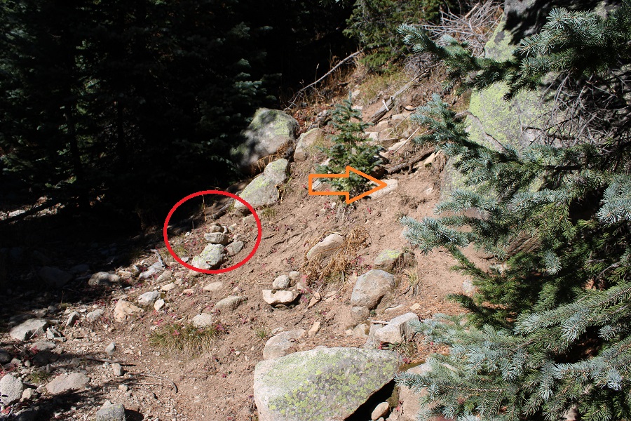
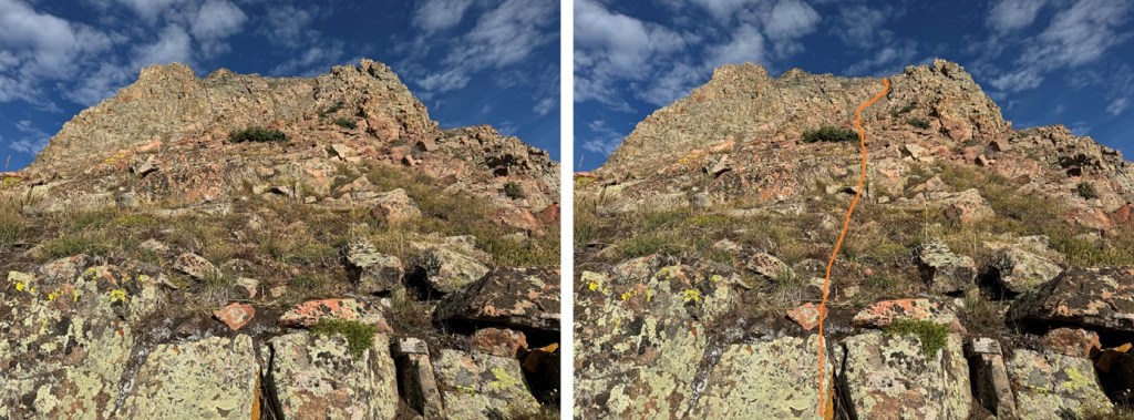
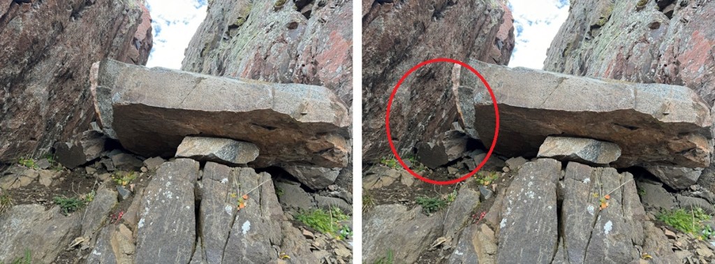
I passed through the gully, which was a bit sketchy.  These photos don’t do the terrain justice, but the graupel here had turned to ice, and there’s a bit of a waterflow on the rocks, which had also turned to ice.  I put on my microspikes (they’re ALWAYS in my bag), and carefully navigated through the notch and down the gully, being deliberate so as not to slip on the ice.  There’s exposure here, so falling would be detrimental.  At the bottom of the gully was a large boulder.  This can easily be climbed up from the other direction, but heading down the gully I found a very small hole to the right I was able to crawl through (I’m glad I’m small!).  You can also climb over it to the left, but I didn’t like the conditions (ice) on that side.  The boulder is circled.

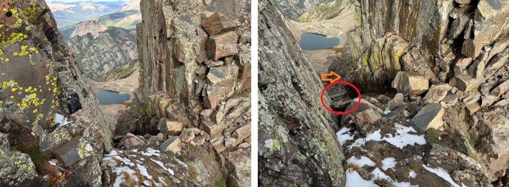
Here’s looking back up at the boulder at the base of the gully.  I crawled through the hole to the left (circled).  

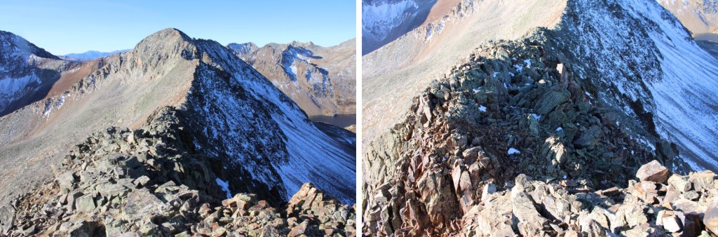
Once passing around the boulder, I immediately turned right and re-gained the ridge.

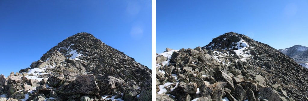
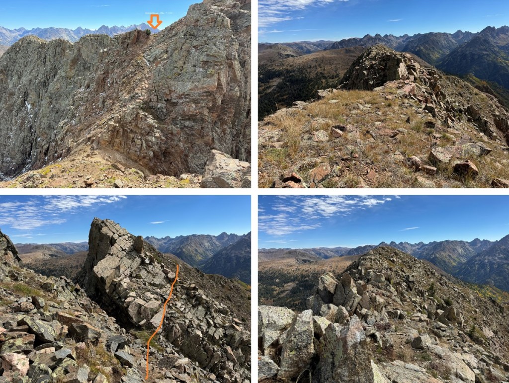
The rest of the route to North Twilight was class 2.  I descended to the saddle, then re-ascended to the ridge on a small patch of tundra.  The slope angle was low, so it was an easy trek.

Once on the ridge, I turned left and headed west for the summit.

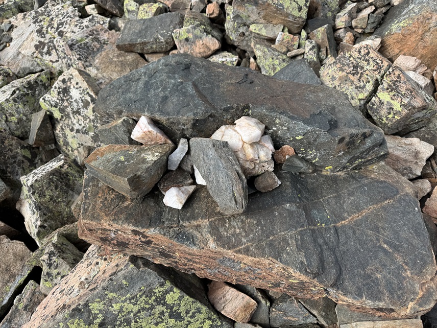
The only problem?  The summit ridge is rocky but flat, so it’s difficult to tell exactly where the summit is.  I walked the length of the summit, but I’m pretty sure the actual summit is in the middle (not the far west end as indicated on a map).  There aren’t any cairns, but there is a circle of rocks on the middle of the ridge placed on top of another rock that look ‘intentionally’ placed.

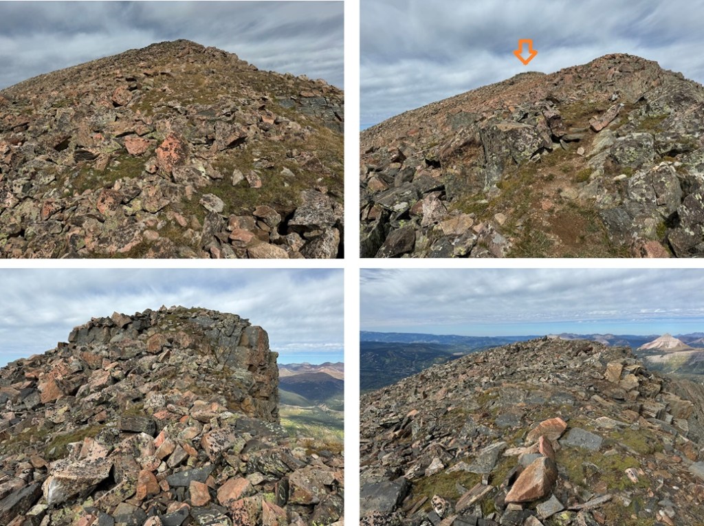
I summited North Twilight Peak at 10:40am

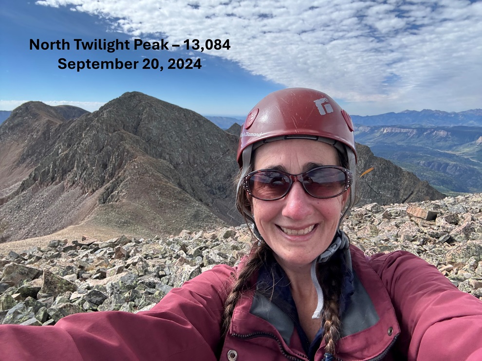
North Twilight Peak:

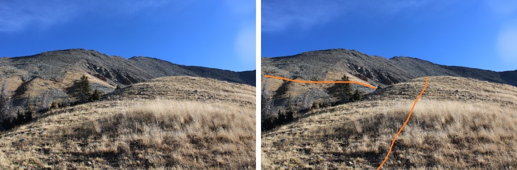
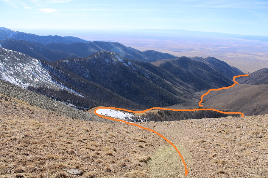
Now to head back to Crater Lake.  I did this by turning around and following the ridge east.  While there are some ups and downs on this ridge, there are game trails that can help keep this a class 2 trek with one or two easy class 3 sections (I’ve labeled the route below).  Here are some pictures of the ridge.

I could now see Crater Lake in the distance.  Here I found a game trail that would lead me most of the way there.  I descended on the tundra, heading northeast, towards the small pond I’d seen early that morning.  There I picked up the trail that headed west back to Crater Lake.  Here’s the overall view of the route:

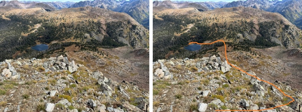
And some pictures.  First, I found the tundra to the right of me, and descended on the game trail that wound its way back to the ridge.

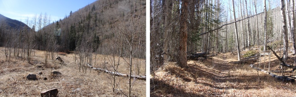
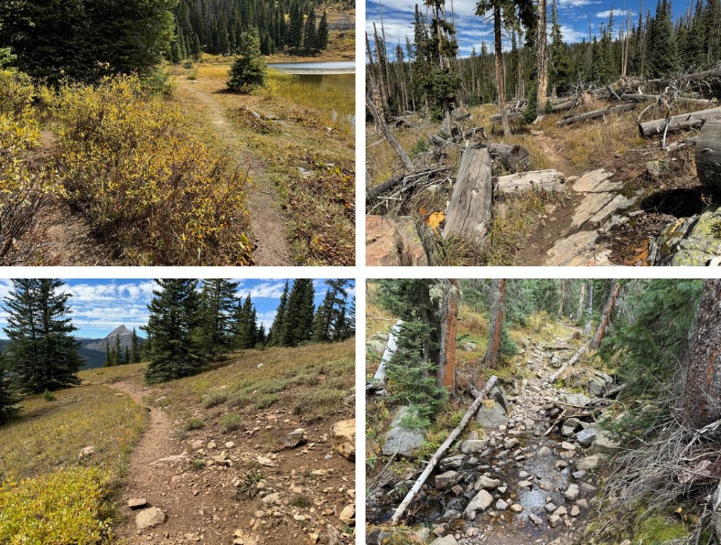
This trail ended in a meadow, so I headed northeast through the trees towards the small pond.

Once at the pond, I followed the trail back to Crater Lake.

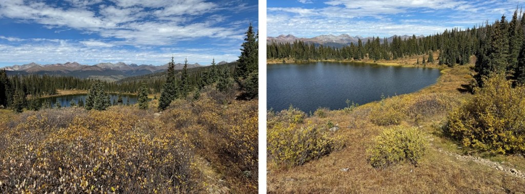
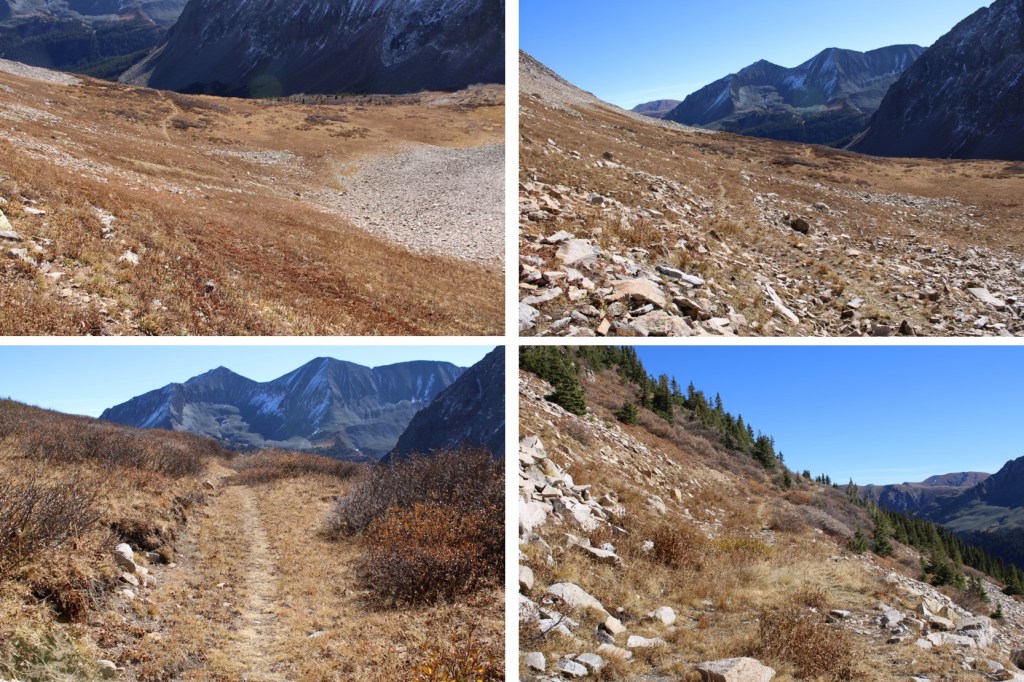
I made it back to Crater Lake at 11:20am.  Once back at Crater Lake I checked the weather (I had cell service for almost this entire hike).  Forecasts for the next day were all over the board (calling from anywhere from half an inch to a foot of snow, starting anywhere from 7am to noon), so I decided to pack it out and come back another day for the other peak I had in the area.  I packed up my tent and followed Crater Lake trail back to Andrews Lake. 

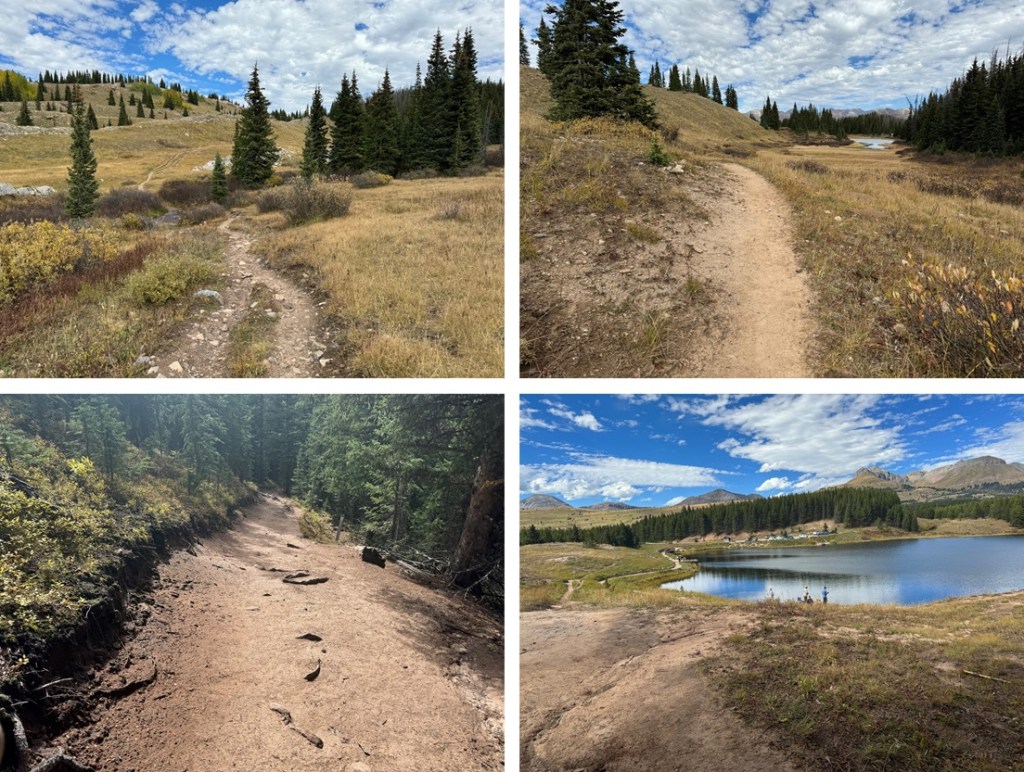
I made it back to Andrews Lake at 2:45pm, making today’s hike 11.61 miles with 3034’ of elevation gain, and the total hike 17.11 miles with 4573’ of elevation gain.

On to the next trailhead!

Beattie Peak – 13,351 and PT 13,302

RT Length: 6.87 miles

Elevation Gain: 2945’

I made it to the Bandora Mine the day before, and spent the day scouting potential routes. 

In the evening I did a little catch and release fishing,  the beavers came out of their lodges, and I saw one tail flip a coyote who got too close. 

Beaver and Coyote:

Then a bull moose came strolling around, and I went to bed.  I was on the trail at 6:30am the next morning.  I took the trail to Lake Hope, which started just to the south of the parking area.

I took this class 1 trail southwest for about .8 miles.

At around 11160’ of elevation I left the trail, and turned right.  If you get to the Big Three Mine you’ve gone too far.  I placed a cairn here, and headed north. 

I bushwhacked north up the mountainside to treeline

I was headed here, which included some willow navigation.  I found if I stayed high I could follow game trails.

Once I could see this ridge I turned left and headed northeast to a basin

I kept heading northeast, as the tundra changed over to talus

Now in the upper basin, I aimed for the Beattie/Fuller Saddle. 

I stayed to the left of the snow, and found the talus was surprisingly stable. 

Once at the saddle, I turned left and followed the class 2 ridge to Beattie Peak

I summited Beattie Peak at 8:45am

Beattie Peak:

I could see PT 13302 to the southwest.

Now is a good time to put your helmet on.  This is a class 3 ridge, but starts out as class 2.  This is the overall route I took to get there, taking the ridge to a gully.

The initial descent of the ridge is class 2

But quickly becomes narrow, sustained class 3 with exposure.  The ridge proper goes at class 3, but twice I dipped down to the left to avoid the exposure involved.  Here are some pictures of the ridge

I was now at the base of the gully.  Microspikes helped here. 

This is the route I took

And some pictures of the gully

At the top of the gully I went right

And then I could see the final approach to the summit

This is the overall route I took to the summit

There were two summit cairns, each about 15 feet apart.  They looked to be of equal height. 

I summited PT 13302 at 10am

PT 13302:

I know the traditional way to descend from PT 13302 is to head southwest and down to the V9/PT 13302 saddle, but I’d been there the day before, and did not want to descend that way.  Instead, I headed southwest towards a small saddle, then turned left and scree-surfed south. 

This route brought me back to the Lake Hope Trail. 

Here’s looking up at the route I scree-surfed down

And here’s an overall view of the route I took

Back on the Lake Hope trail, I followed it east back to Bandora Mine

I made it back to Bandora Mine at 11:45am, making this a 6.87 mile hike with 2945’ of elevation gain in 5 hours, 15 minutes.

On to the next trailhead!

PT 13,128 and Thirsty Peak – 13,224

RT Length:  14.15 miles

Elevation Gain:  5370’

For those of you who’ve been following my truck situation, the topper for Miles finally arrived!!!  More than 4 months later, but let me tell you, it was worth it!  I’m so glad I did a trial run with my last truck (‘Truck Kirk’… if you get it, you’re awesome, and we should be friends), and got everything I wanted this time around.  This weekend was my first time trying out the new set-up, and I’m thrilled.  Plexiglass instead of glass gives me blackout windows, which are great for irregular sleep patterns that are sometimes necessary to wake up at 2am and hike.  Added bonus:  plexiglass doesn’t shatter! I put up Reflextrix around the windows to keep in the heat, and set up my Buddy heater in the corner.  I re-used the foam bedding from the Tundra (after cutting it a little to fit), built the cabinets myself (not bad considering the only ‘shop’ experience I have was in a 7th grade Industrial Arts class), and commissioned my daughter to paint them.  She used pictures I’d taken while hiking, and all I have to say is I love them!!!  We left a few of the lids to the cabinets blank, so if we meet at a trailhead, I expect you to add your signature to one of them so I can remember you.

Ok, moving on to the trip report.

I arrived at the trailhead the night before to get plenty of rest before the hike.  I talked with some local hunters, pre-signed the register because I’ve learned pens don’t work in the early morning when they’re cold, and got to bed just as the sun went down.  At 5am I was up and on the trail, heading south through the scrub oak.

I was at the wrong trailhead.  After .25 miles of hiking, I knew I was on the wrong trail.  I pulled out my cell phone and started the compass app (which works moderately well): I didn’t want to deal with a flashlight and a ‘real’ compass in the dark.  While I was following the cell phone compass-directions, I tripped.  No worries though, because my cellphone broke my fall.  All I can say is:  good thing I had a screen protector on my phone.  Also, my knee still hurts.

To save time I brought up a gpx file (which I only use when absolutely necessary) and realized it looked like I was going in the right direction, but about half a mile too far south.  Ugh.  I hoofed it back to the trailhead, signed out of the register by scratching on the paper with a pen, got in my truck, and drove to the Hot Springs Trailhead, about half a mile north.  I got there, jumped out of my truck, ready to go, signed the register, and was off.  It was now 6am.

The correct trail starts at the Hot Springs Trailhead.  There are two different trails that originate from this trailhead.  I went right, following Garner Creek Trail 752.

This is a wide, class 1 trail

I quickly came to a gate, and then another gate.  I passed through both, closed them as instructed, and continued on my way.

I followed this (mostly) class 1 trail for 6.3 miles to the 13123/Thirsty Peak saddle.

Even though I wrote it on the topo map, I forgot them: My stream crossing shoes.   Creek crossings.  Have I mentioned them?  I stopped counting at 10 on this trail.  Good news; they’re all easily crossed.  Here’s a visual…

I passed some camping spots with hunters still sleeping in their tents, came to a bit of a clearing, and had a visual of where I was aiming; the saddle between PT 13123 and Thirsty Peak.

I continued following the trail as it headed northeast, crossing several more streams.

After hiking for about 5 miles, I was just below treeline.  Here the trail stopped, but the cairns picked up.

At the top of pile of rocks I was now just at treeline, and on a ridge. I followed the ridge east, and then north, staying directly on the ridge.  Here’s an overall view of the route.  There were cairns here.

Here are some more pictures of the ridge.  The cairns are circled.  Most of the cairns were shorter than the grass, but they were accompanied by large branches sticking up from their centers, so they were easy to make out. 

Once above treeline the trail faintly resumed.  I headed north to the 13123/Thirsty Peak saddle

Once at the saddle I turned left and followed the ridge northwest to the summit of PT 13123, gaining 425’ in elevation.  This started out as tundra, but quickly became rocky. 

I summited PT 13123 at 9:55am

13123:

I could see Cottonwood Peak to the northeast (not on my agenda for today)

I turned and headed back to the PT 13123/Thirsty Peak saddle.

From the saddle, it was a class 2, rocky ridge hike to the summit of Thirsty Peak. I gained just over 500’ from the saddle to reach Thirsty Peak (unranked). 

I summited Thirsty Peak at 11am. At the summit I heard a coyote yipping.  I got it briefly in the video, but just at the very beginning. 

Thirsty Peak:  

Here you can see the reason Thirsty Peak is unranked:  Lakes Peak

I turned and headed back to the 13123/Thirsty Peak saddle

And then re-traced my steps back down to the ridge

Here’s an overview of the route out

Here are some pictures of the way back to the trailhead

I made it back to the trailhead at 2pm, making this a 14.15 mile hike with 5370’ of elevation gain in 8 hours. 

On to the next trailhead!