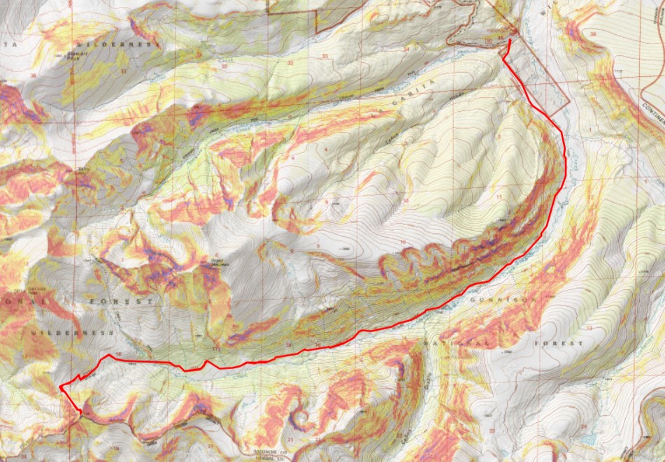
13,308 and 12,580

RT Length:  31.68 miles

Elevation Gain: 6041’

I drove to the Eddiesville trailhead the night before, and was up and on the trail at 4:30am.  I’ve been in this area for over a week, and was fairly confident I wasn’t going to need microspikes or an ice axe (I didn’t).  The trail starts at the south end of the parking area, and follows the Colorado Trail. 

I followed the Colorado Trail for 8.25 miles, all the way to the San Luis Peak/13166 saddle.  This was a very well-marked trail, which made it difficult to get lost.  Also, there weren’t many trail intersections, also making it easy not to get lost.  I crossed several small creeks and downed trees on my way, and passed through two gates (latched, not locked). 

Here are some pictures of the terrain, which followed Cochetopa creek up the basin.

After hiking for 7 miles, I crossed Stewart Creek

I was now above treeline, and could see the 13166/San Luis Peak saddle. 

The Colorado Trail nicely brought me there.

I would now lose 255’ of elevation as I headed down west, towards another pass, still following the Colorado Trail

Here’s the route

It was all pretty easy, class 1 hiking

I arrived at the next pass, and lost another 460’ of elevation, once again, on a nice class 1 trail.  This one took me through Bondholder Meadows

Here’s the route

After hiking for a total of 12.5 miles, and at 12290’ of elevation, I saw this cairn, and turned left, leaving the Colorado Trail.  I headed south a short ways to the ridge.  There was a little bit of snow here, but spikes (etc.) were not needed.

Once on the ridge, I turned left again and followed it southeast.  Here I stashed my backpacking gear and started hiking with a daypack with just the necessities.  Please keep in mind, what you see here is a false summit.  This was all easy class 2 on tundra.

At the false summit, I could see the true summit of 13308.  I would need to descend about 135’, and then re-ascend another 335’ to make it to the summit.  This area was a mix of tundra and rocks.  I followed the ridge southeast.

Once I reached the top of the rocky ridge I was greeted with Alpine tundra.  I headed east towards the summit.

When I got there, I was unsure if I was at the summit, or if it were the pint further, so I climbed up and down (still class 2) to the summit further east, but when I got there, the first summit looked higher.  When I checked my altimeter, both summits had the same elevation, but when I got back to the first summit, there was a summit register, so there’s no need to climb back and forth.  Here’s the view looking at the second summit

And a view from the second summit looking back at the first

I summited PT 13308 at 11:45am

PT 13308:

I headed back down the ridge to where I’d stashed my gear, first descending, then reascending, then descending again.

Here’s looking at that rocky false summit

From that summit, I could see my next peak, 12580

This is where the wind picked up.  Forecasted winds were 20-25mph, but I’m sure these exceeded 50mph.  I had to hold onto my bandana, as it kept getting blown off my head.  I made my way back to my stashed gear, then back to the Colorado Trail.

Once on the Colorado Trail, I continued following it northwest for about .75 miles

I rounded the side of a hill, and PT 12580 came into view.  I left the trail, and headed towards the summit.  This was all class 2 on tundra, then class 2 on rocks

There was a summit register, which hadn’t been signed in over a year, so I’m thinking this isn’t a very popular peak.  I summited PT 12580 at 2pm

PT 12580:

Now to head back down the trail.  I took the same way out as I did in.   I wanted to sleep close to Bondholder Meadows, but preferably in the trees. 

I ended up hiking further than intended, because the campsites I found were full of very dead trees, each placed perfectly to fall on me wherever I chose to sleep.  With the current wind gusts, I didn’t want to chance it, so I hiked to the very end of the trees, and found a place to camp surrounded by willows, near a creek that still had a little bit of snow.

I set up my bivy, ate dinner, and bedded down for the night.  It was an uneventful and warm night, except for the purring I heard around midnight and the thundering hooves I heard when I woke up.  I never saw either animal.

The next morning I was up and on the trail by 6am, headed northeast along the Colorado trail.  Here are the two passes I needed to go over

At the top of the last pass, now all I had to do was follow the class 1 trail back to the trailhead. 

Here are some pictures the rest of the way back to the trailhead.  I saw a couple of bull moose munching in the willows, but that’s common for this area.

I made it back to my truck at 10am. 

This was a 31.68 mile hike with 6041’ of elevation gain.

On to the next trailhead!

13,026

RT Length:  12.96 miles

Elevation Gain:  2979’

Day 3 at the Eddiesville Trailhead, and I really, really didn’t want to get out of bed.  It had been between 25-30 degrees the past two mornings when I woke up, and this morning it was going to be even colder.  There had been a thunderstorm last night, and I knew there would be a thick layer of frost on the ground.  And it was cold.  I mean really, really, cold, and I had a creek crossing I knew I was going to have to get through.  I have Raynaud’s, so this is actually something rather dangerous for me to attempt, especially in cold weather so far from communication.  And all I had to wear were yoga pants and a thick jacket.  The weather forecast had called for warmer weather, so I hadn’t brought my warm snow pants.  I stayed under the covers for about 15 minutes, contemplating if I should even go out.  I mean, I didn’t even know if the route I was going to attempt ‘went’.  Then, all of the sudden, something clicked.  I started asking myself if it were really worth it, and immediately my attitude changed, and I shot out of bed.  No, I love mountaineering, and that comes with being uncomfortable sometimes.  This was all mental, and I needed to get myself out of this funk.  I never regret a hike, and I was just being silly.  Once I started hiking, I’d warm up.  I had to just rip the band aid off and go. 

I was on the trail at 4:15am.  The trail starts off at the south end of the parking area.

I followed the Colorado Trail south and then southwest for 5.4 miles.  This is a well maintained, class 1 trail, easy to follow, even in the dark.

After hiking for about 5.4 miles, I came to a clearing, and to my left I could see an avalanche runout.  It was my plan to climb up this runout and see if I could summit the peak this way.

I left the trail, and sat down on a rock to exchange my hiking shoes for my stream crossing shoes.  The creek was too big to pole vault across, and the water level was too high to rock hop, so even though it was 5am and freezing cold out, I was going to cross the stream and get my feet wet. 

Imagine my surprise when the water was warm!  Well, not warm exactly, but warmer than the 25-degree air I’d been hiking in.  It was an easy stream crossing, with the water coming up to just above my knees.  I exited the stream, changed back into my socks and hiking boots, and was on my way. 

This is the route I took up the avalanche drainage

And some step-by-step photos.  This ended up being about 2000’ of elevation gain in 1 mile.

Eventually, the terrain gave way to tundra

Once I made it to the ridge, I turned right, and followed it southeast to the summit.  The terrain here was still all class 2, starting out as tundra and then changing to rocky.

I summited 13,026 at 7:45am

13026:

And now, to head back down. I just retraced my steps back to the avalanche runout, heading northeast

And then made my way back down to the creek

I crossed the creek again, and headed back to the Colorado Trail

I then took the Colorado Trail northwest back to the trailhead.  I’d been on this trail 3 times in the past 3 days, and this afternoon I noticed bear tracks along the trail.  A bear must have come through last night, as these tracks hadn’t been there before.

Here are some pictures of the trail back to the trailhead

I made it back to my truck at 10:45am, making this a 12.96 mile hike with 2979’ of elevation gain in 6.5 hours.

On to the next trailhead!

13,408

RT Length: 17.32 miles

Elevation gain: 3326′

Day 2 of my trip staying at Eddiesville Trailhead.  It was even colder this morning than last morning.  I woke up to 33 degrees outside, but needed to get going.  I got dressed and was on the trail at 5:15am.  This trailhead can accommodate up to 10 vehicles if everyone parks nicely.

The trail starts at the south end of the parking area.  This is also a Colorado Trail trailhead. 

I followed the Colorado Trail southeast for about 1.25 miles

Just for reference, you’re eventually headed here

After hiking for 1.25 miles I left the trail.  I turned left, and made my way down to the Cochetopa creek.  If you look closely, you can see the trail on the other side, along with two wooden sticks that probably used to hold signs indicting which trail this was.

I crossed the creek, which was less than a foot deep.

And picked up the 784 trail on the other side. 

I use the term trail loosely.  It starts off as a trail, then turns into kind of a road, then vanishes, then turns into 4 or 5 trails, then vanishes… you get my point.  With careful route finding you should never lose the trail, but it’s difficult in the dark.  Remember that picture I showed you earlier about where you’re headed?  Here’s the overall route through the trees.

Here are some pictures of the way through the trees to the meadow

Once out of the trees I came to a rather large meadow, and followed the trail southeast for 1.25 miles.  There are many trails here, presumably cattle trails.  I always chose the one closest to the trees and was never disappointed. 

This meadow was 1.25 miles long.  At 11,050’, after hiking for a total of 3.3 miles, I turned right and followed the trail southwest to the upper basin. 

This is where the trail gets iffy.  There are a lot of downed trees, and in some places the trail is wide, and in others it looks like a rabbit path, overgrown with grass and wildflowers.  Just keep heading southwest, staying to the right of the Lake Fork Cochetopa creek.  Here are some pictures of the terrain

Once above treeline, I was deposited into a willow filled basin.  There is a trail here, but once you lose it, it can be very difficult to find again.  It’s more of an overgrown game trail.  This is the path I took

Here are some step-by-step pictures

Yep, that’s the trail

I was headed for the gully to my left.  I could see a game trail that would lead me to the ridge and looked snow free (it was)

I made my way up the gully, staying to the left of the snow

As soon as the snow stopped, I turned right and gained the ridge

I followed the tundra and talus filled ridge east to the summit

I summited 13,408 at 9:15am.  Also, as you can tell by my bandana, it was windy.

13408:

Be careful, there’s a lot of bailing wire littering the summit, which is easy to not see and trip on. 

Ok, time to turn back.  I retraced my steps back down the ridge to the gully

Then down the gully into the basin

Through the willows, back to treeline

From there I caught back up with the trail, and took it down to the meadow

There were a lot of beaver dams and lodges along the creek

At the meadow I turned left, and followed the trail back down into the trees

Now the trail was easy to follow back to the creek

I crossed the creek slowly.  In fact, I stood in the middle for a few minutes to cool off my feet

The Colorado Trail was waiting for me on the other side.  I followed it northwest to the trailhead

I made it back to my truck at 12:15pm, making this a 17.32 mile hike with 3326’ of elevation gain in 7 hours.

13166

RT Length:  17.29 miles

Elevation Gain:  3120’

I drove to the Eddiesville trailhead the night before, hoping to get a good look at current conditions in the mountains.  On the way in I saw an old, 1980s brown Tacoma parked on the side of the road, and a man sitting on a rock, watching a herd of sheep.  All the sheep were facing the opposite way (I’ve become a pro at animal butt shots at this point).

Both creek crossings were manageable, and all the downed trees had been cleared off the dirt road.

There was only one other vehicle in the parking area, which fits about 10 vehicles if everyone parks nicely.  No mosquitoes, but tons of flies (they didn’t bite, they were just annoying).

I threw 3 socks full of moth balls under my truck, wondering where the 4th one went (maybe a marmot absconded with it?) and went to bed.  I was on the trail at 4am. The trail starts at the south end of the parking area, and follows the Colorado Trail. 

I followed the Colorado Trail for 8.25 miles, all the way to the San Luis Peak/13166 saddle.  This was a very well-marked trail, which made it difficult to get lost.  Also, there weren’t many trail intersections, also making it easy not to get lost.  I crossed several small creeks and downed trees on my way, and passed through two gates (latched, not locked). 

Here are some pictures of the terrain, which followed Cochetopa creek up the basin.

After hiking for 7 miles, I crossed Stewart Creek

and saw a moose.  I have him his space, even though he was directly on the trail.

I was now above treeline, and could see the 13166/San Luis Peak saddle. 

The Colorado Trail nicely brought me there.

For those of you looking for the current conditions for San Luis pass, here they are.  Still areas of snow on the trail, but passable.

At the saddle, I disturbed a small herd of deer. 

Deer:

From the saddle, I turned left and headed southeast, gaining 525 feet of elevation towards the summit.  This was easy tundra to navigate.

Until I saw this.  Hmmm… I was going to have to go and investigate.  I headed to the east side of the formation, dropped all my gear except my camera, and headed up.  Sorry, no helmet, as I wasn’t aware this was more than a class 2 hike. 

This was easier than it initially looked, nothing worse than rainbow climbing at the gym. The rock was all grippy, sturdy, and had lots of hand/footholds.  The rock was solid, like in the Crestones, but with more and larger hand holds. I’d call this 30 feet of vertical climbing exposed class 3.

Here’s the route I took up, following the orange rock to the ridge, turning left, and crawling on hands and knees to the summit because it was windy (and exposed, and I didn’t have a helmet, etc.).

I summited 13,166 at 8am

13166:

Now to head back down.  I actually just did this feet first, no need to turn and face the wall.  There are plenty of hand and foot placements to use for support.

Back on firm ground, I grabbed my gear, and headed back to the saddle.

Back on the Colorado Trail, I followed it back to the trailhead

Oh, and I saw another moose.  This one was curious, and kept walking towards me, so I didn’t stay long.

Here are some pictures the rest of the way back to the trailhead

Back at the trailhead, I noticed a chipmunk under my truck, seated atop a sock full of moth balls.  So I’m guessing they don’t work with chipmunks.  Oh well, at least it wasn’t a marmot.  I made it back to my truck at 11am, making this a 17.29 mile hike with 3120’ in elevation gain in 7 hours. 

I’d say “on to the next trailhead!” but I’m staying here.

Organ Mountain 13,808

1

RT Length: 9 miles

Elevation Gain: 3500’

My hiking days got switched this week due to mandatory Friday dentist appointments. (Side note: anyone know of a great dentist in Colorado Springs that’s open nights and weekends?  I love my dentist office but their hours stink!!!).   I was willing to give up my hiking day this week for dental hygiene but when I asked my kids what they wanted to do this weekend one was gone and the other wanted to sleep until 4pm (she’s a teenager, this is doable for her) but she wanted me to take her to see the school play at 7pm.  Woohoo!  This gave me a Saturday hiking day, and I could drive further since I didn’t need to be home by 3pm.

So I changed my schedule and took a nap Friday night and woke up at 11:45pm and drove the 6 hours to the Eddiesville Trailhead in the San Juans. The weather wasn’t supposed to be spectacular (0-29* at the summit, with wind chill making it 0 to 10*) but as I was driving down the dirt road my heart sank as the temperature dropped to -5* and held there for a bit.  I got excited when it rose to 7* (I know, crazy to be happy about 7* weather) and disappointed again when it went back down to 0* and then held steady again at -5*.  With my Raynaud’s I was seriously worried a hike wasn’t going to happen today: I’ve never hiked in such cold weather and had my doubts.

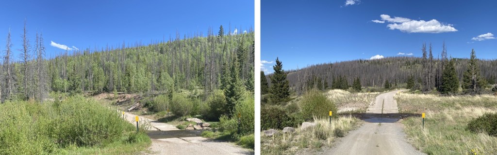
I’d seen a report from earlier this week stating the trailhead was still open (woohoo!) but that it was icy. Let me tell you, they weren’t kidding!  I’ve never experienced this kind of ice before.  Granted it was -5* outside, but the dirt road was covered in 2-4 inches of ice and there was no way to gain traction on the road.  This is the very first time I’ve ever experienced my 4WD Tundra slip in the 6+ years I’ve been driving it on ice and snow.  It caught me off guard, but I straightened it out and kept it under 5mph until I reached the trailhead.  Those steep hills with tight curves were a killer!  I could tell by tire tracks several other vehicles had slid into the drainage on the side of the road in the past few days.  There was a pretty good rut going for tires which was nice, but would have made passing another vehicle a nightmare.  Here are pics from my drive out.  The creek crossing(s) were fun, especially the second one that had a thick layer of ice at 5am I got to break through with my truck:  My truck was happy!

2

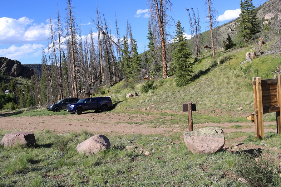
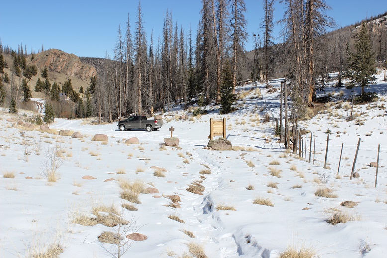
There were tons of animal tracks along and through the road. Very cool!  Hopefully I’d see some wildlife today.  I saw some of the biggest white rabbits I’ve ever seen.  Seriously.  They reminded me of the jackrabbits we had in Arizona, the ones the size of racoons.  I arrived at the trailhead at 5:30am to -5* weather and snow everywhere and a gate preventing me from driving further.

3

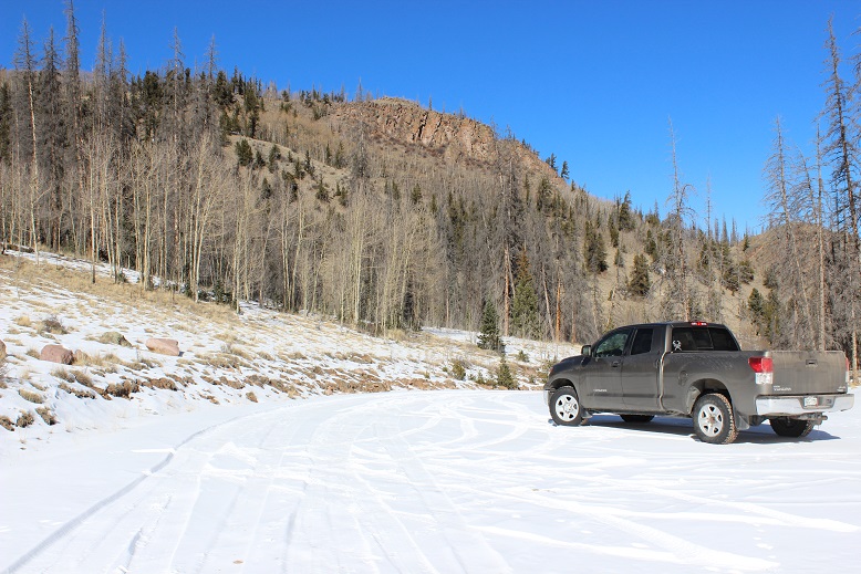
I’m still learning about winter condition hiking and where my limits are, so I’d decided before even arriving to give it a try and turn back if needed. I’d driven all this way, hadn’t I?  I might as well use this as a learning experience, -5* weather or not.

So I put my snowshoes on in the truck and bundled up for the cold weather with multiple pairs of gloves, my balaclava, knit hat, etc. I opened the door and was greeted with intensely cold air, but luckily no wind.  I took a deep breath:  I could do this! (Probably).

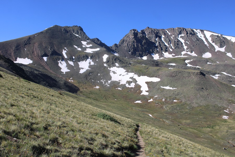
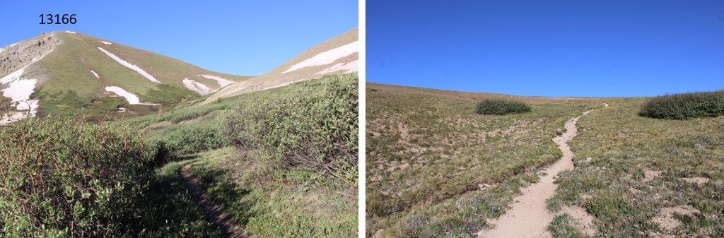
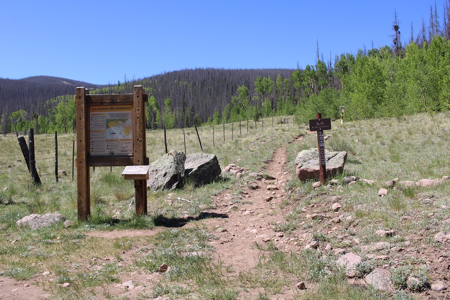
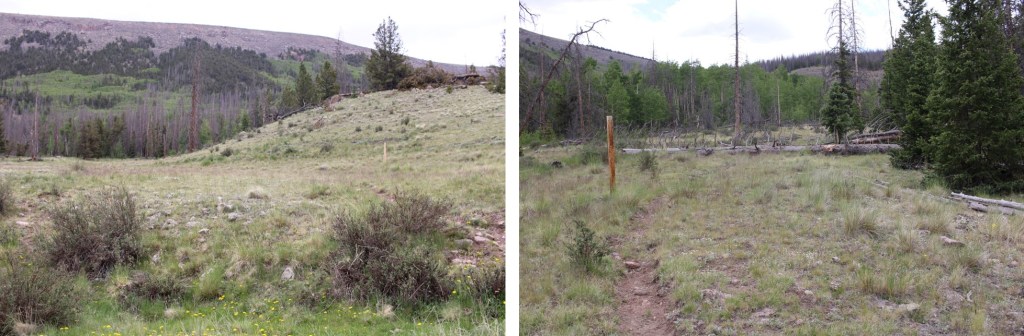
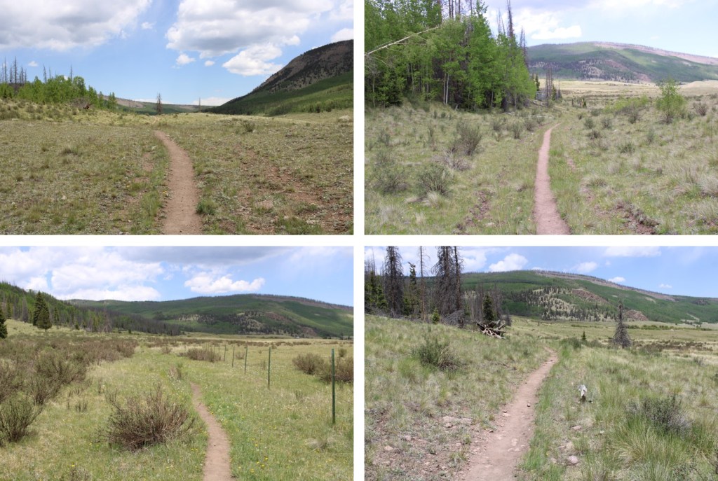
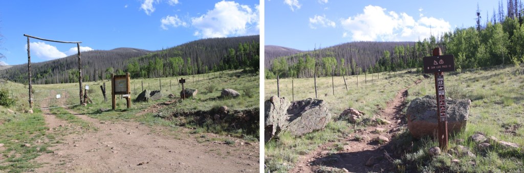
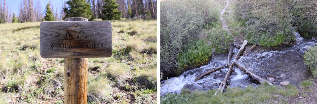
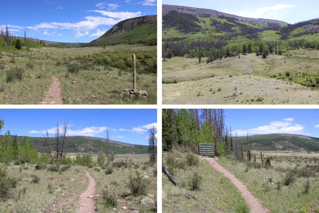
The trail actually had signs, which was an unexpected treat.

4

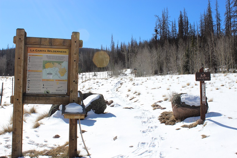
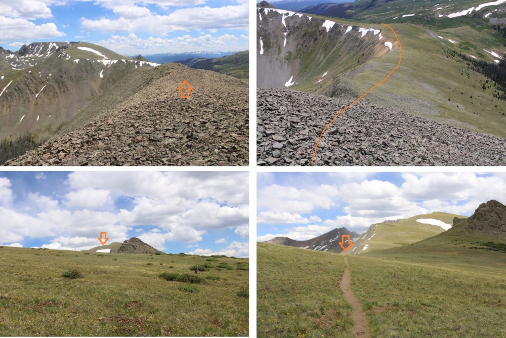
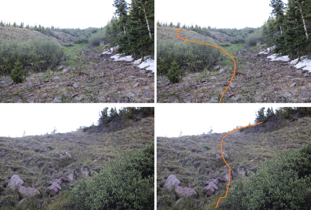
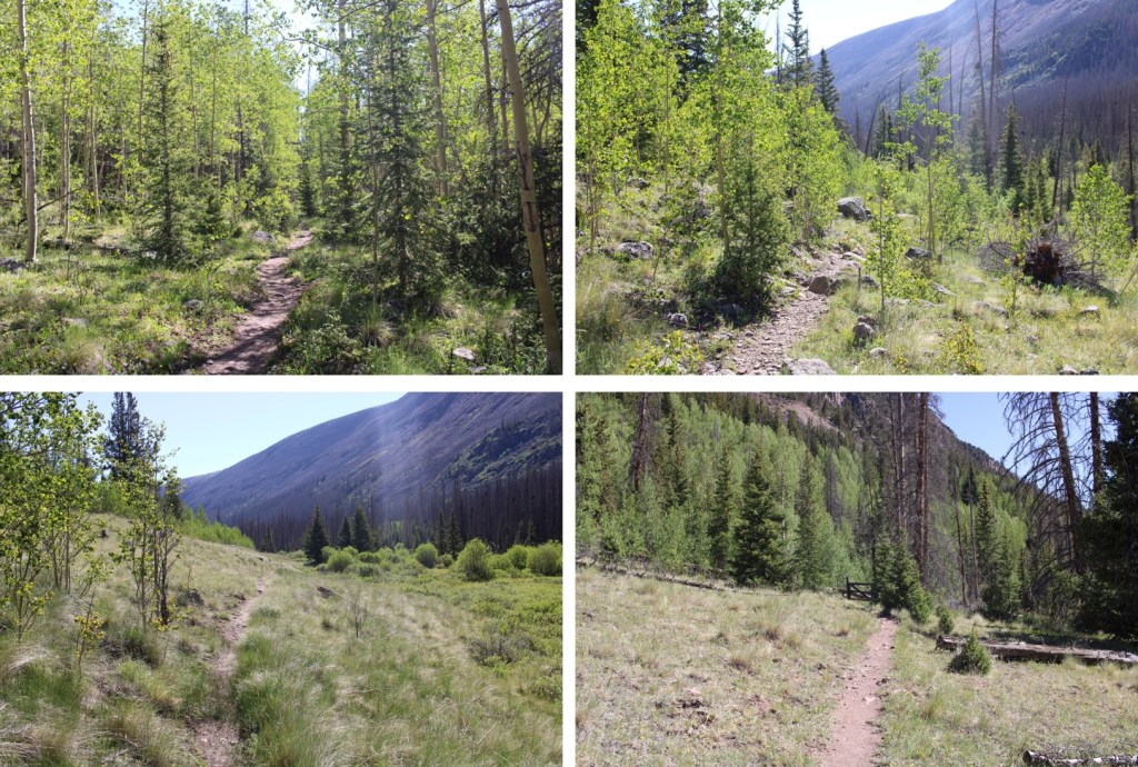
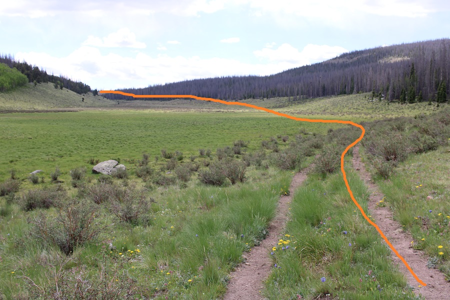
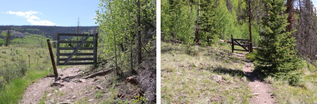
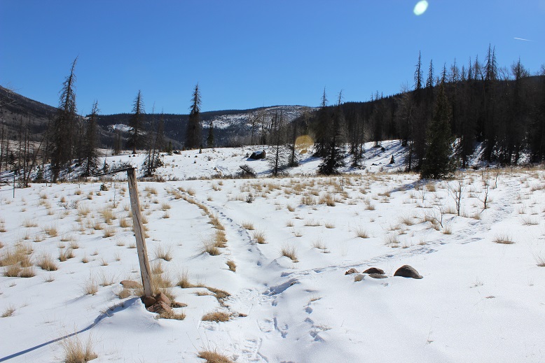
I followed the trail through a gate and to the left (southeast) for about 150 yards

5

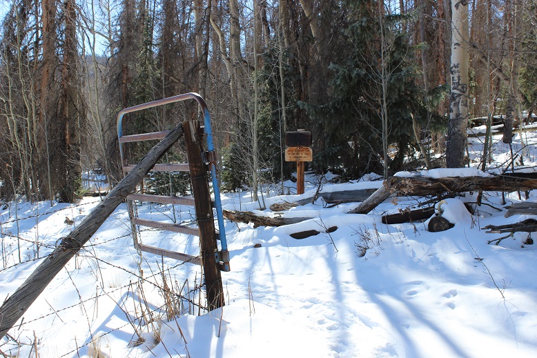
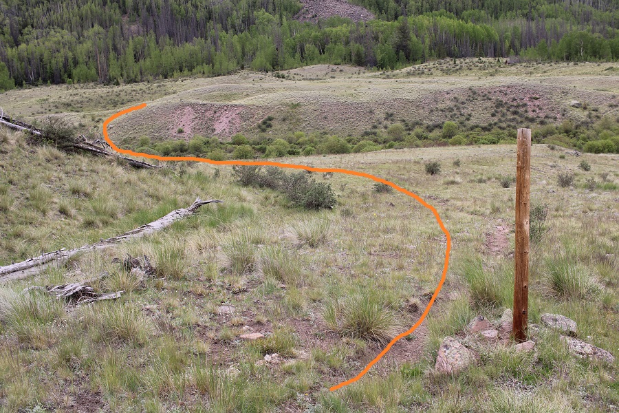
until I saw this post and turned right. There was supposed to be a trail here, but it was invisible in the snow.

6

My fingers were burning. Seriously burning from the cold.  I stopped and took off my felt gloves that were under my mittens and just wore my mittens.  My hands were instantly warmer, but I was giving up finger flexibility:  I would no longer be able to take off my mittens to actually do stuff (like adjust my snowshoes, take photos, look at my phone/gps, etc).  (Another side note: Someone seriously needs to invent better gloves.  I need actual gloves with finger casings for dexterity, but unfortunately they don’t keep my hands warm enough.  I need mittens that have small fingertip holes made with thin weatherproof fabric that retract inside the mitten but you can poke your fingertips through when necessary.  Someone please invent these.  But I digress…

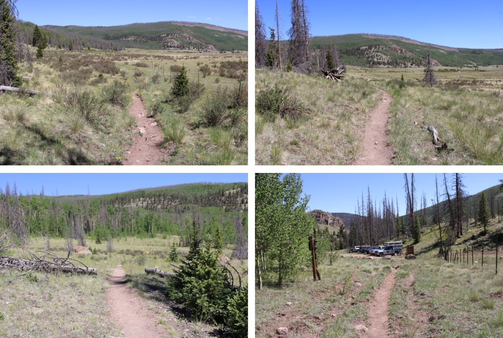
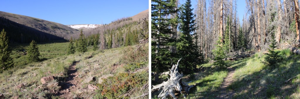
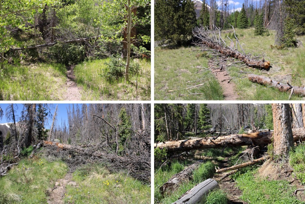
Now that my hands were warm my hike instantly looked more promising, despite the cold weather. The lack of wind below treeline helped too.  The trail varied from large amounts of snow to just a little on the trail. It was easier to just keep my snowshoes on, so I did, even when they weren’t necessary.

7

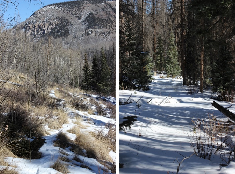
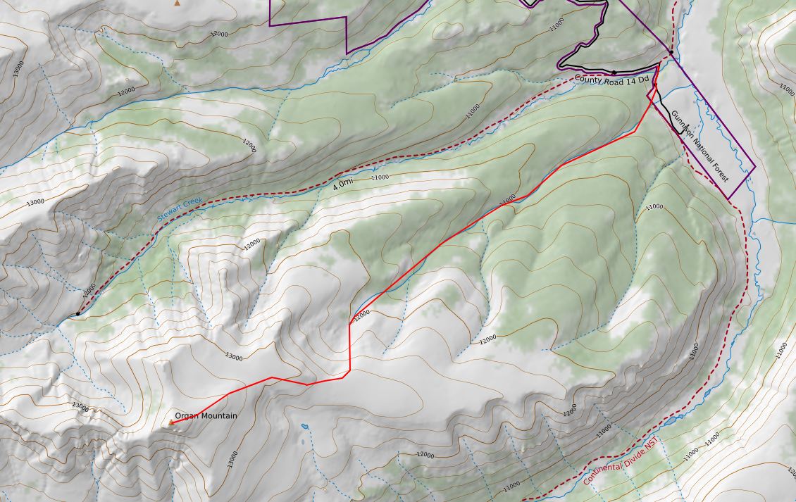
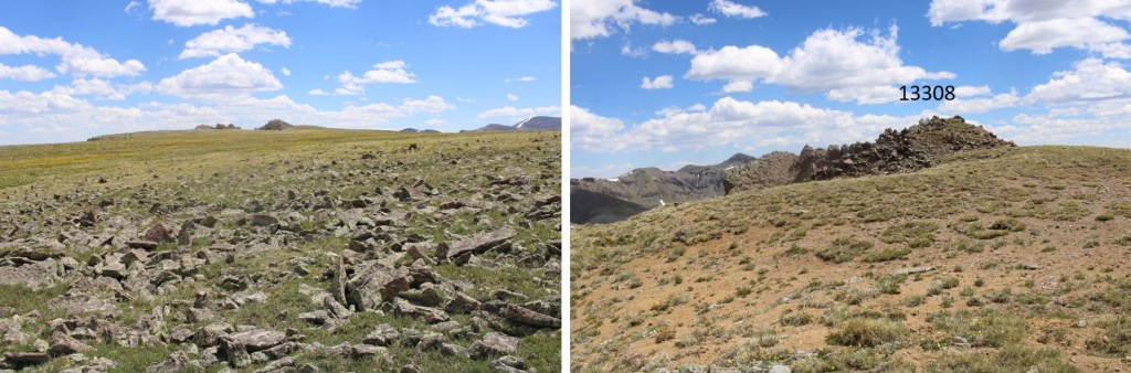
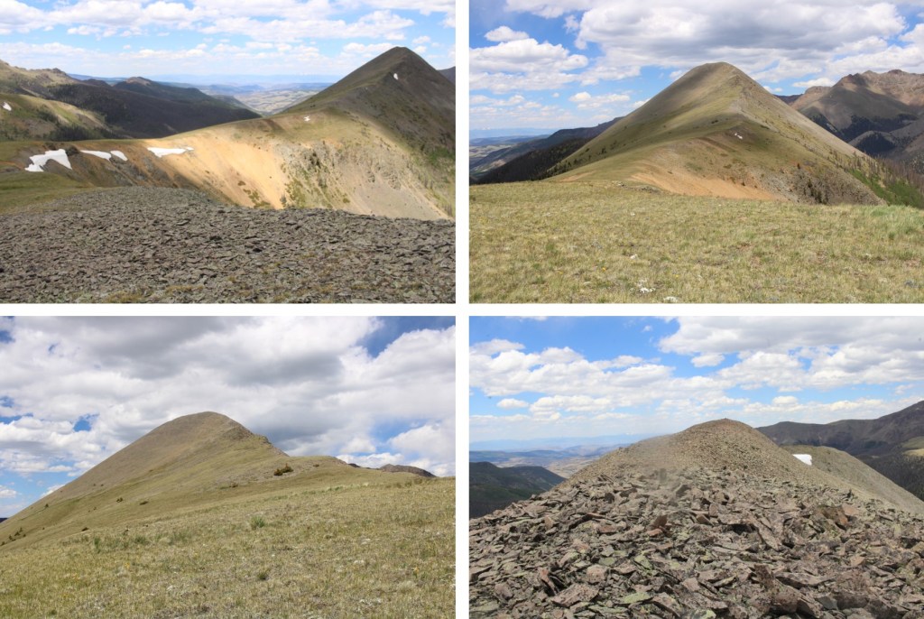
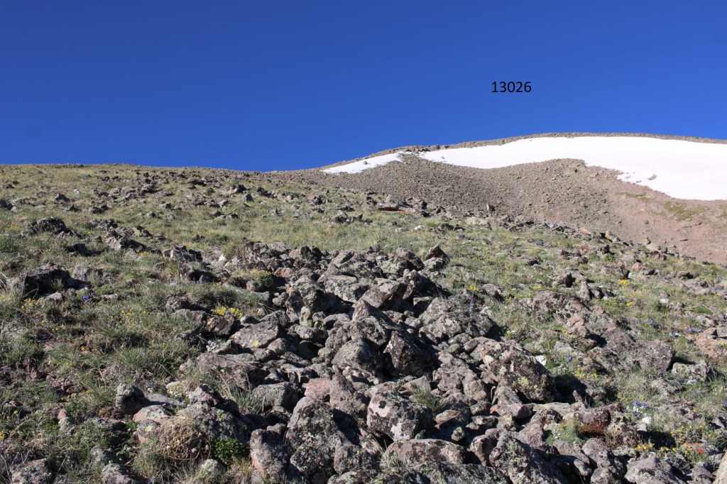
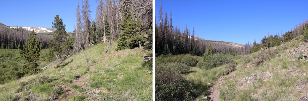
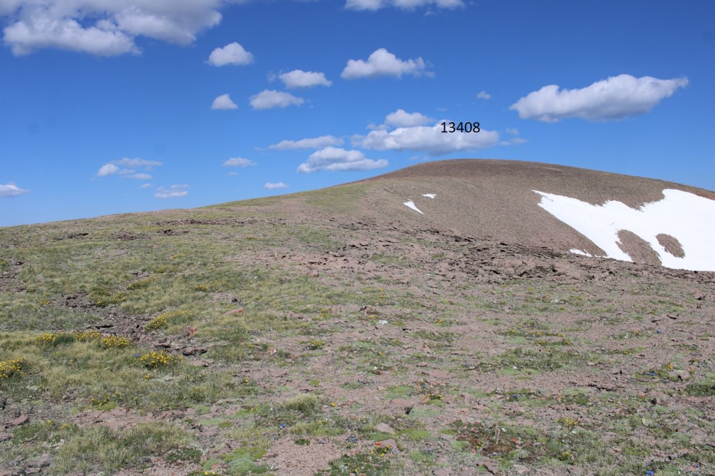
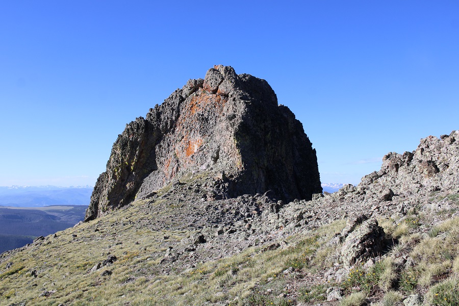
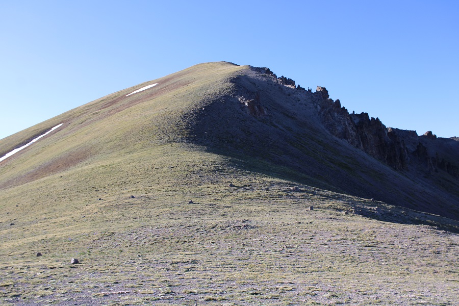
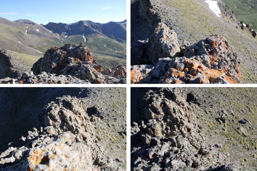
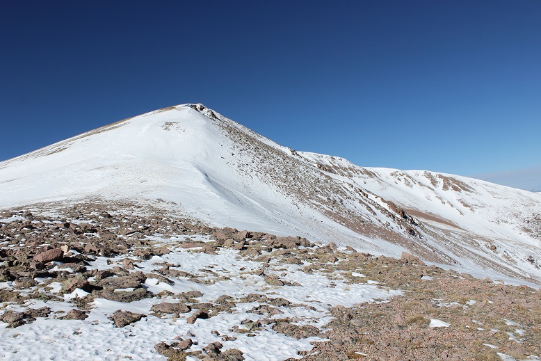
As the sun started to rise I got my first good look at Organ Mountain (this isn’t the summit).

8

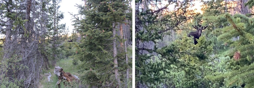
Did I mention the animal tracks? It was obvious no one had been on this trail for quite a while.  Well, no one but our 4 legged friends.  I saw tiny prints from mice, fox prints, and the biggest rabbit prints I’d ever seen.  Oh, and the deer and elk and moose prints were everywhere. This is how I knew they were moose tracks…

9

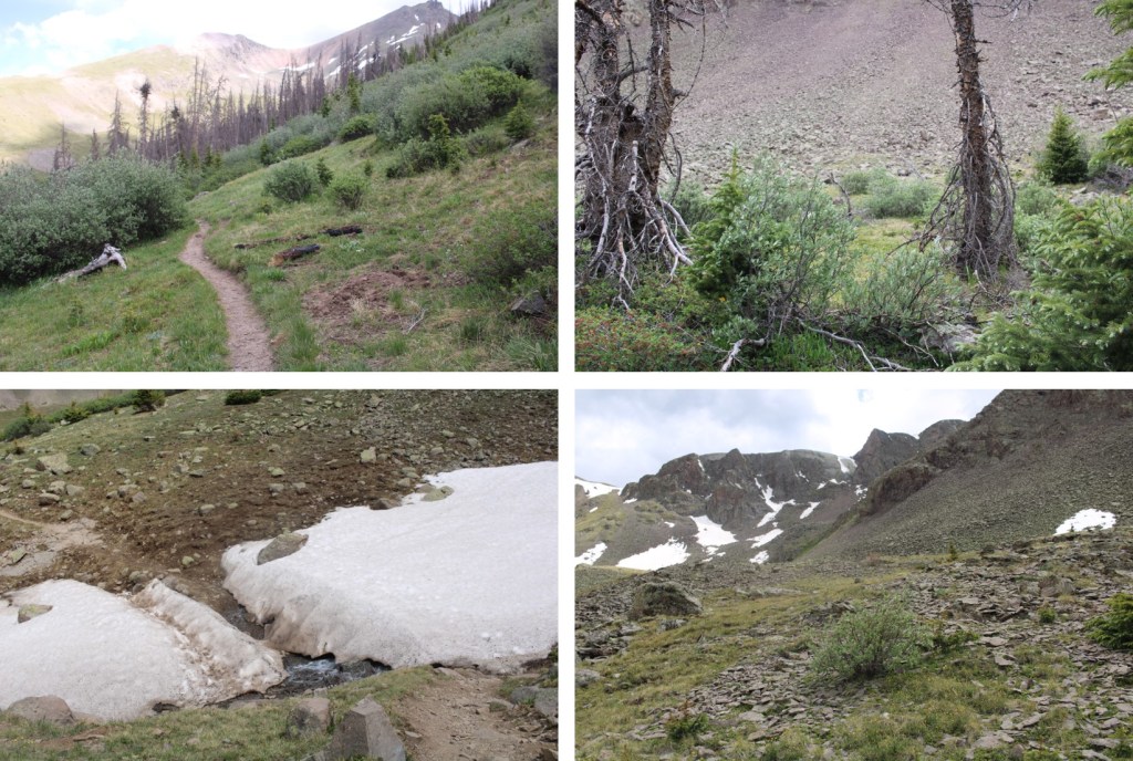
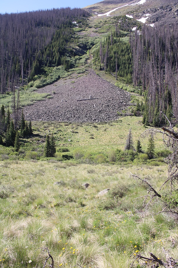
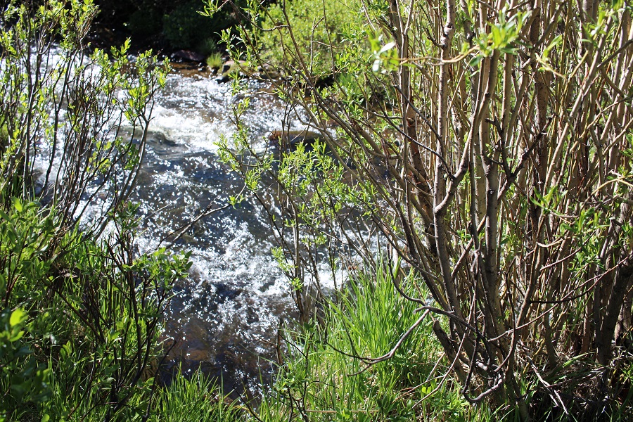
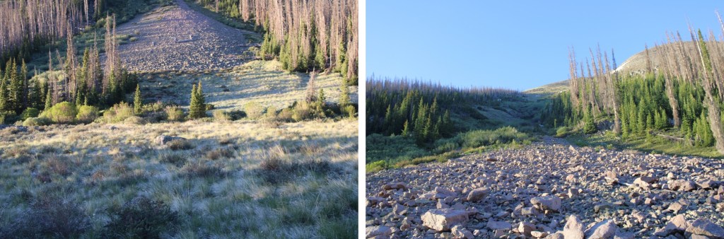
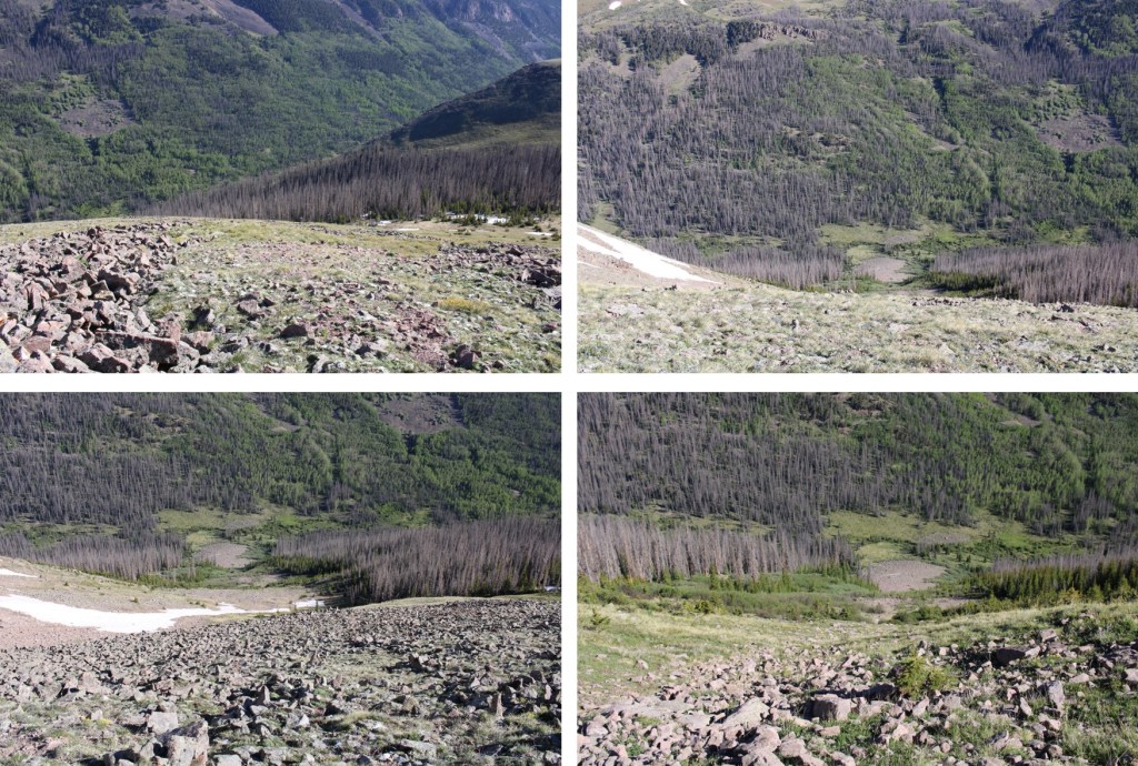
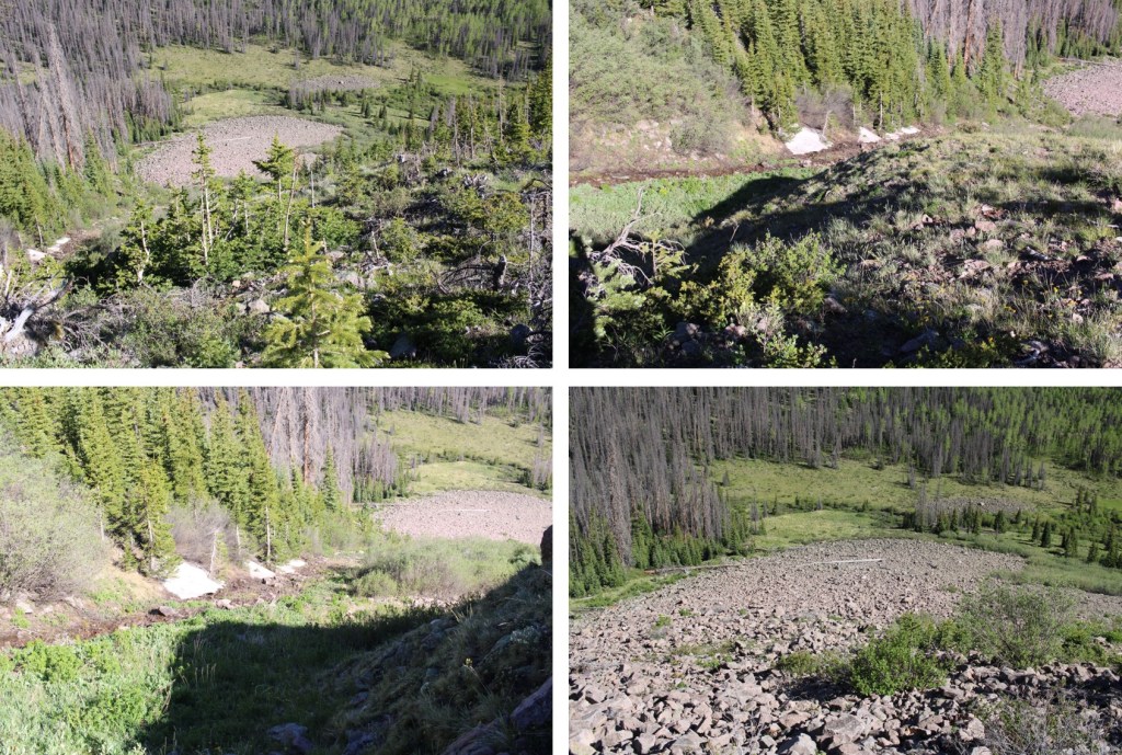
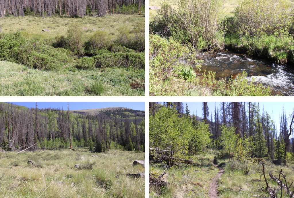
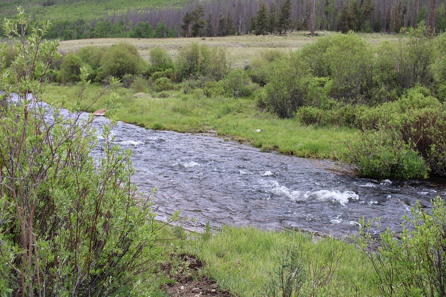
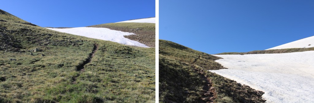
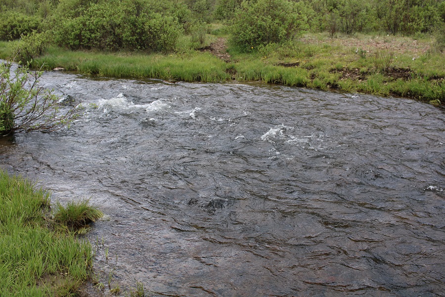
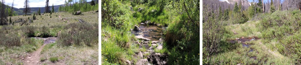
The animal tracks were super helpful for finding the actual trail. There was a trail here, but it was invisible with all the snow.  Luckily the animals knew where it was (mostly).  When the animal tracks obviously veered off the trail I just followed the creek.  This trail follows the Hondo Creek all the way to treeline, so as long as you parallel the creek you’re fine.

And check these tracks out! I instantly knew these were mountain lion tracks and got excited!

10

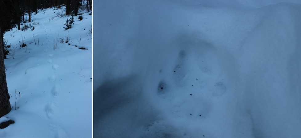
They followed the trail for over a mile and were headed in the same direction I was. I found it fun the lion didn’t always stick to the trail, but sometimes hopped onto logs and traversed them seemingly for ‘fun’ and then jumped back along the trail again.

11

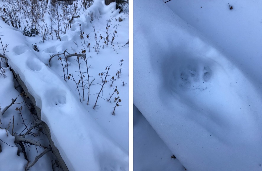
Then all at once the tracks veered off in another direction. I decided to follow them for a bit to see if they paralleled the trail I was on or went another way.  While these tracks were hours old (I could tell by traces of elements left by the wind) I still felt it prudent to see which direction the lion had taken so I knew whether or not to be on the lookout.  Imagine my surprise when the tracks led me to its den no more than 50 feet off the route I was on!  With no tracks leading back out I quickly retraced my steps and continued my hike (sorry, no pictures:  I want to keep the kitty safe!).

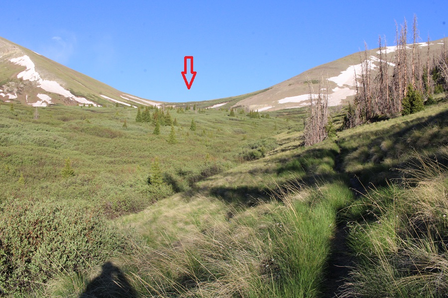
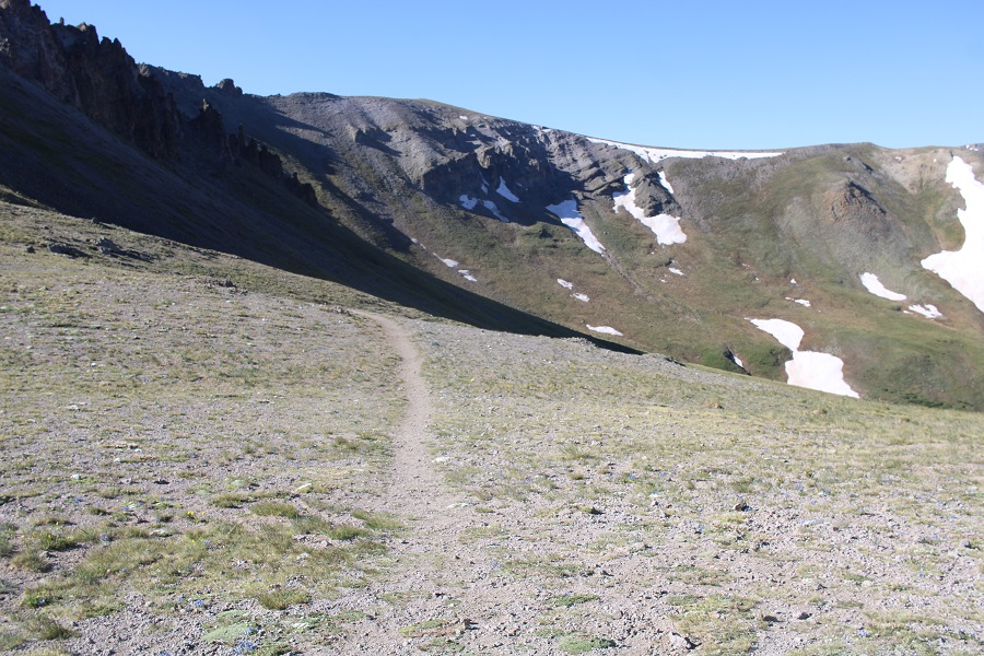
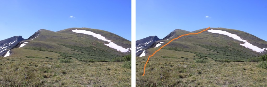
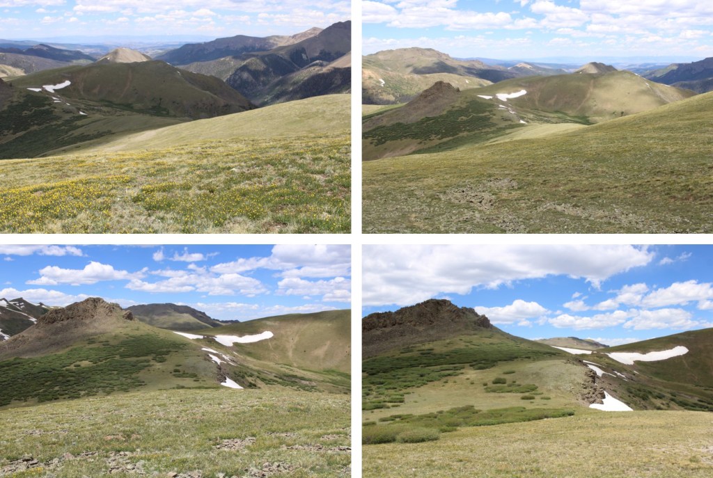
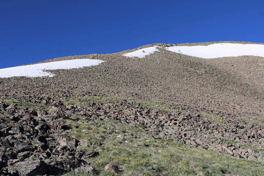
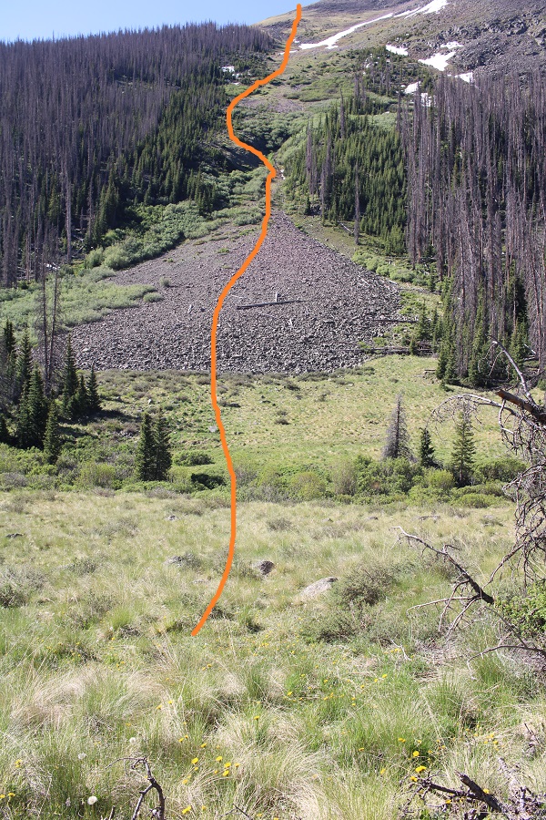
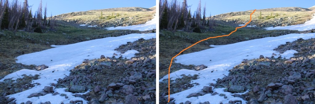
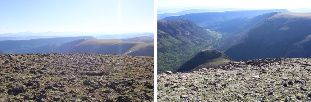
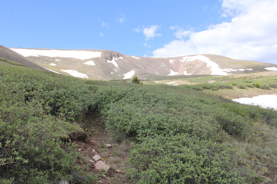
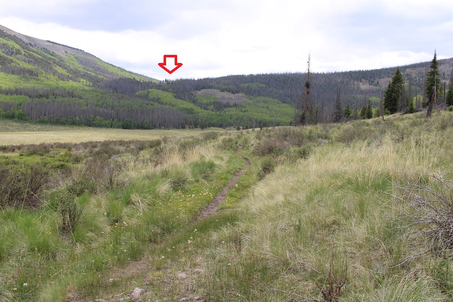
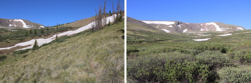
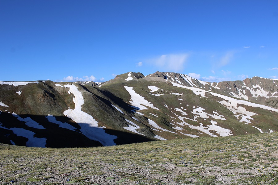
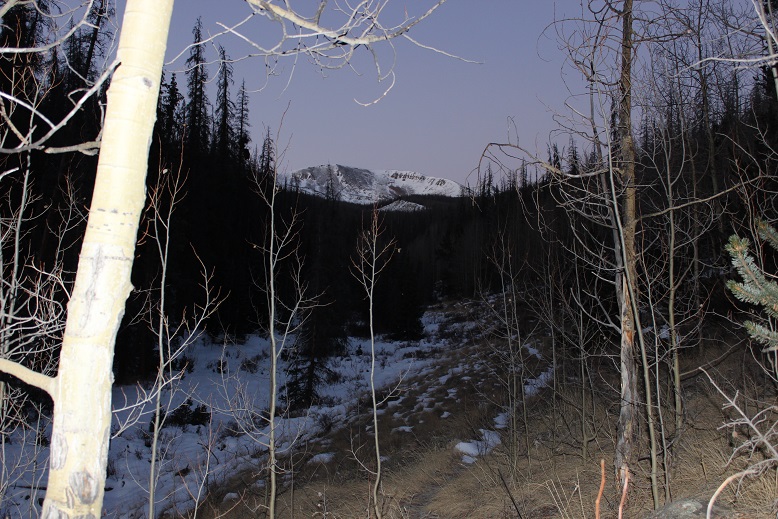
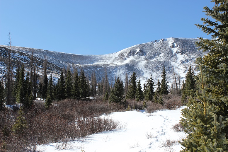
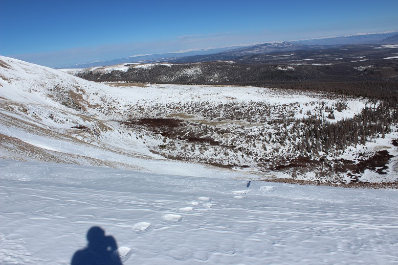
I continued following Hondo Creek until treeline and got a great view of the route before me.

12

My research said to take a route to the right, but to me the left side of the mountain looked easier: Give me quick elevation gain over the long way any day!  So, despite my map and trail directions I decided to go up the left (south) face of the mountain.  It just seemed safer, especially since avalanche danger is more prominent on the north/east faces right now. Not that there was much snow to worry about.  I was worried about the wind.

13

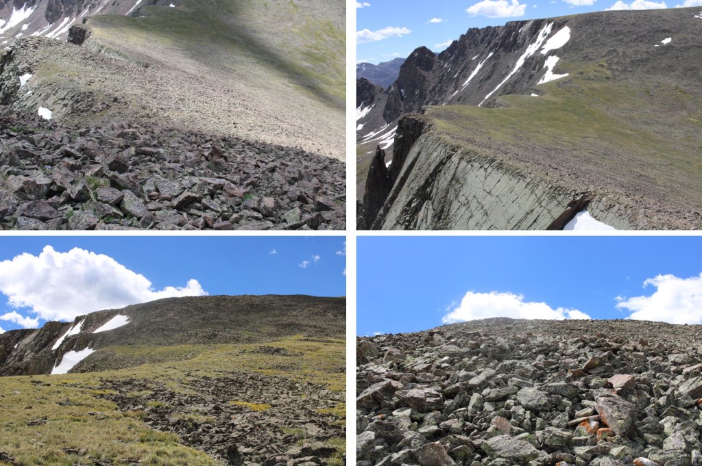
This was a steep climb and would have been easier without the traces of snow, but the rocks were semi stable and I didn’t need to worry about causing an avalanche/rockslide below me. I kept my snowshoes on for stability.  I was able to gain the ridge in about half an hour and could see the rest of the route before me.  This is where the wind picked up (25mph) and took the 0* temperatures to new negative levels.  But I was dressed well, and as long as I didn’t take off my gloves I was ok.

14

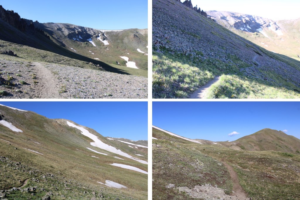
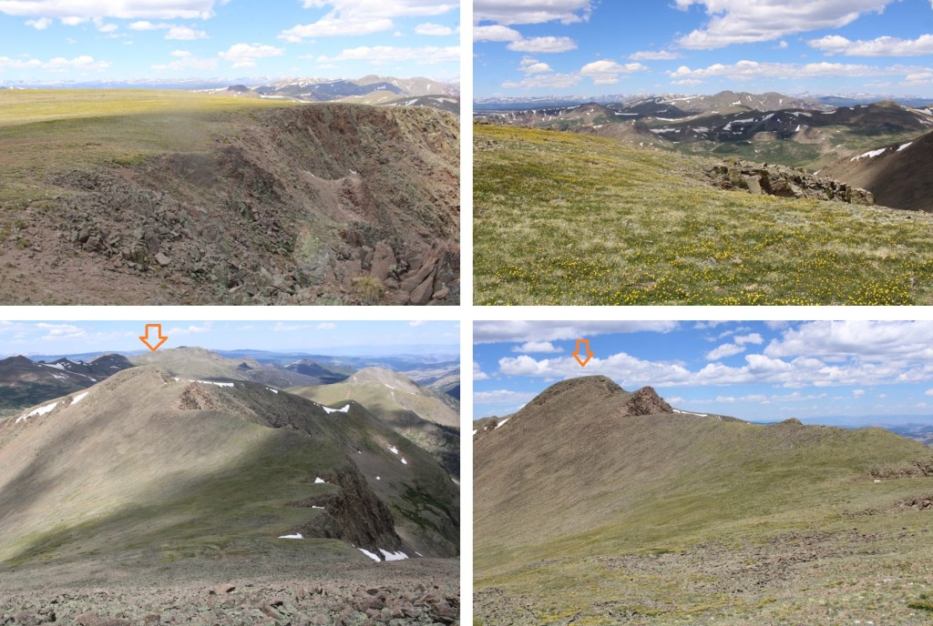
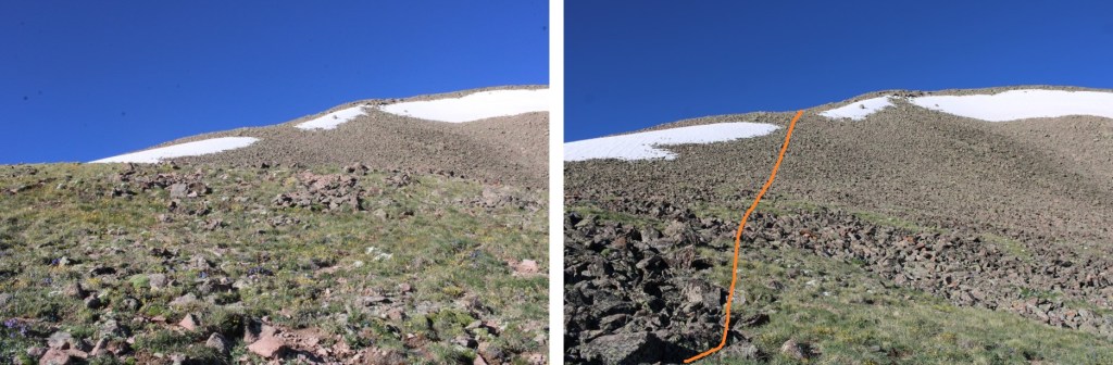
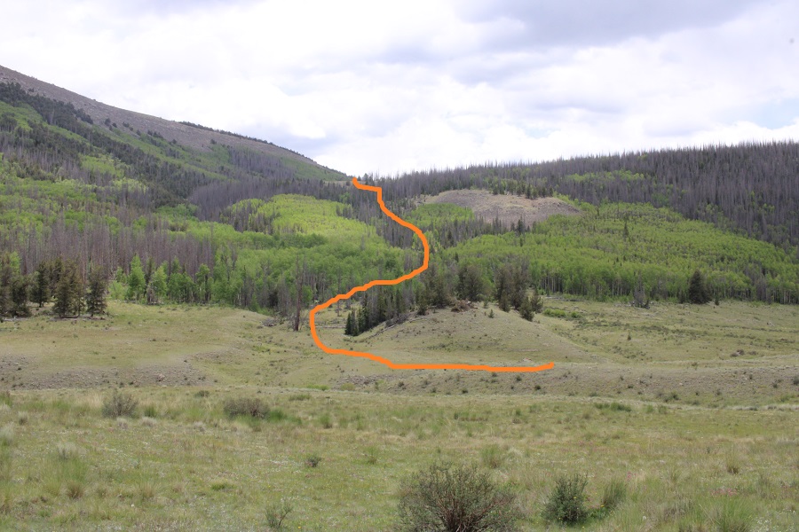
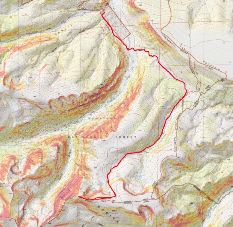
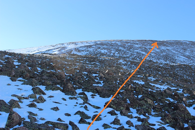
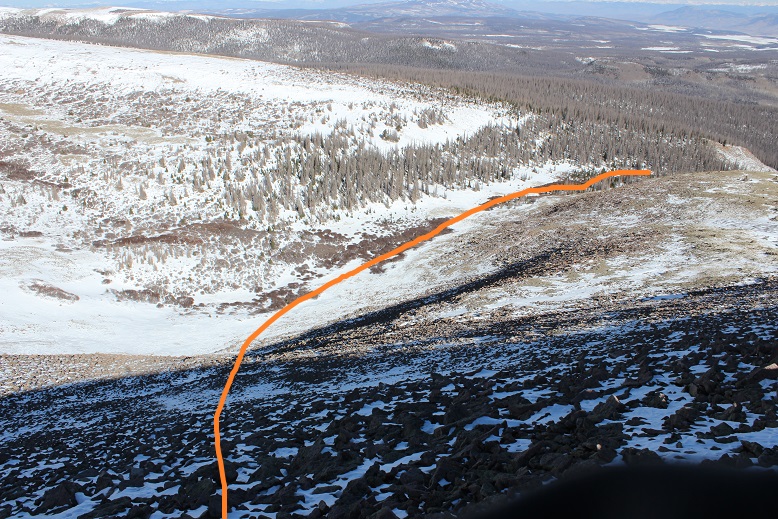
This is the route I took.

15

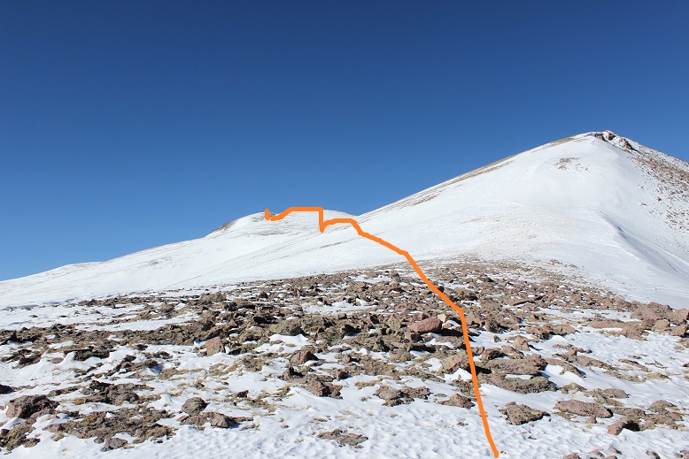
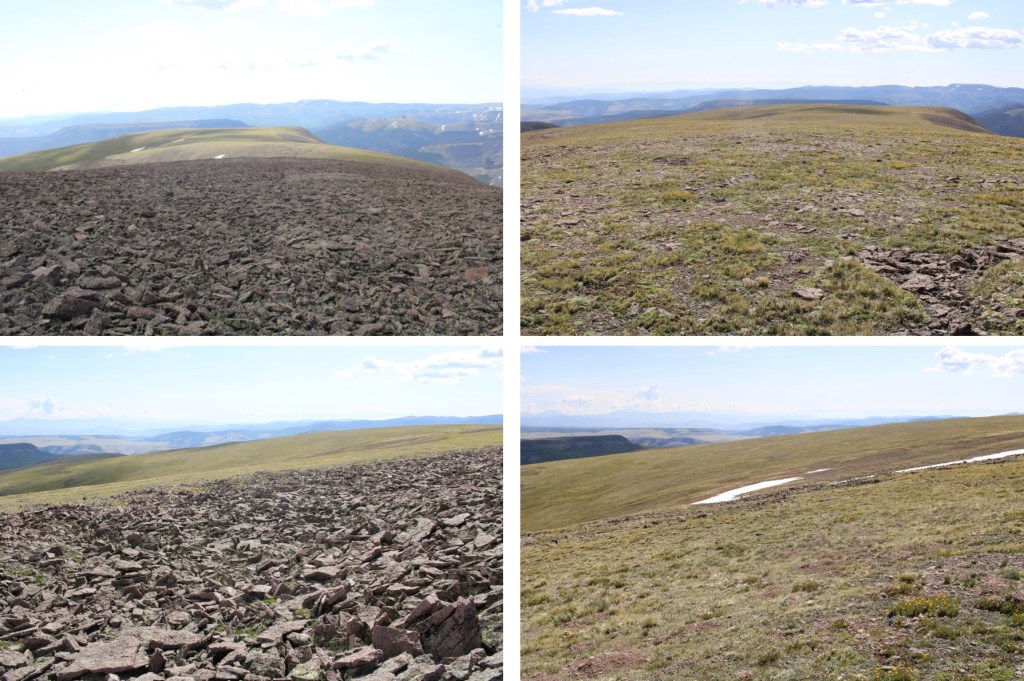
And looking back down from the ridge at the route from my truck to this point

16

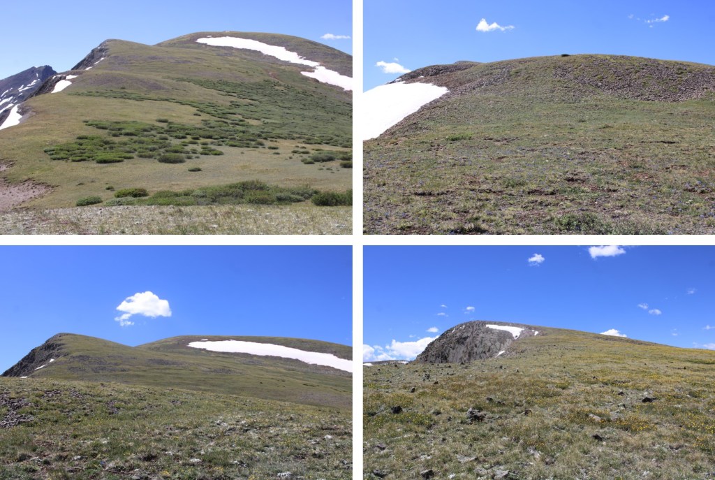
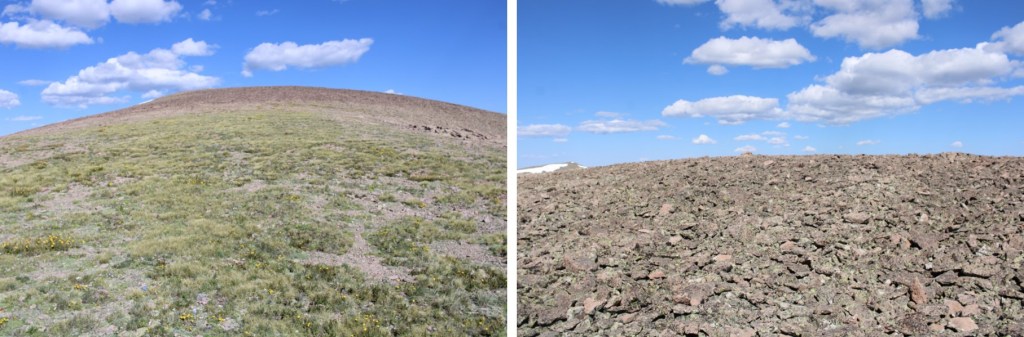
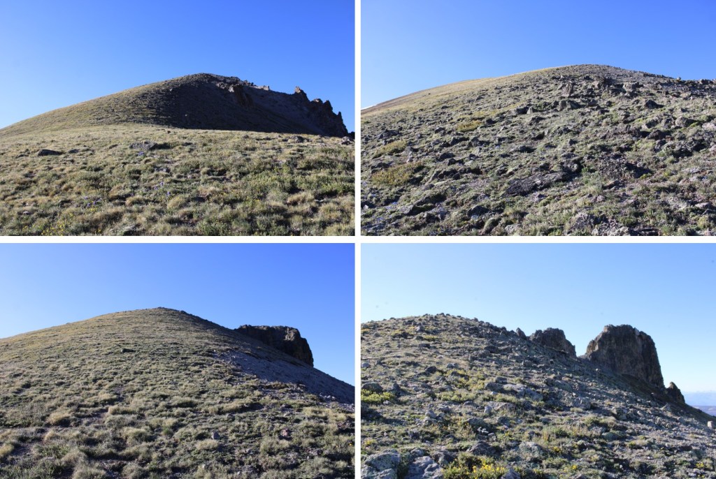
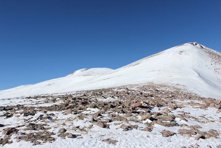
There are several false summits on this mountain. After gaining the ridge I was on a small plateau that gave me a break from elevation gain (here’s looking back at the plateau)

17

But there were still two other points to gain

18

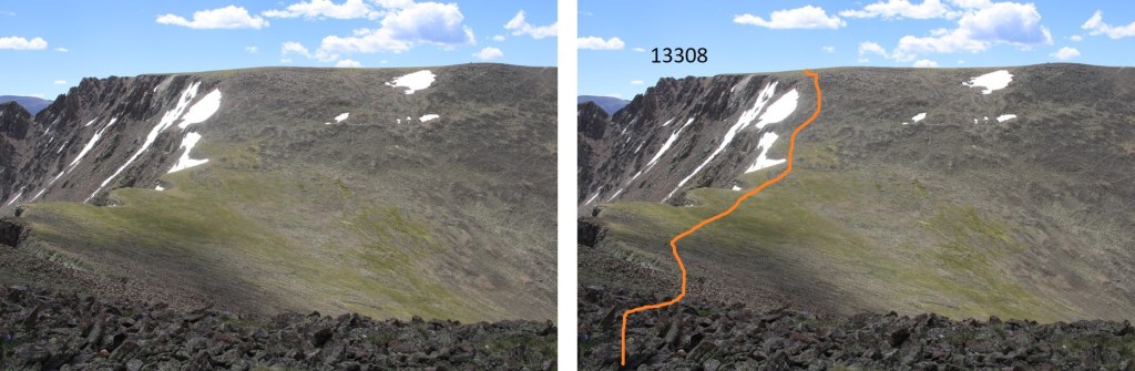
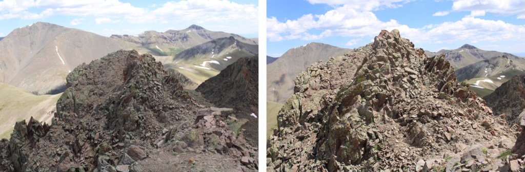
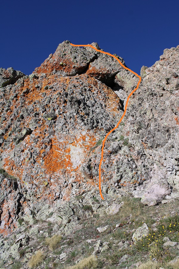
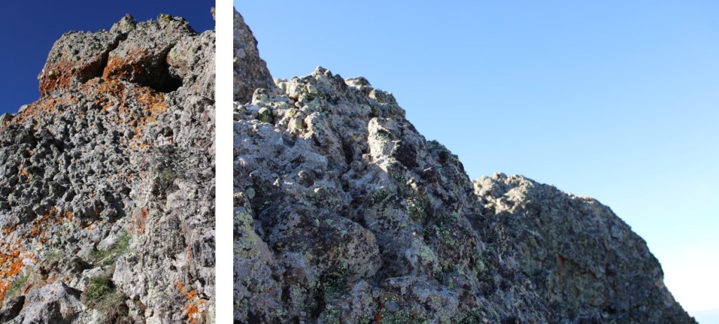
I stuck to the drier areas and just followed the ridge up to 13,400’ where there was a small rock wall and a lot of wind. It wasn’t too steep and as long as I didn’t stop I didn’t get too cold.

19

20

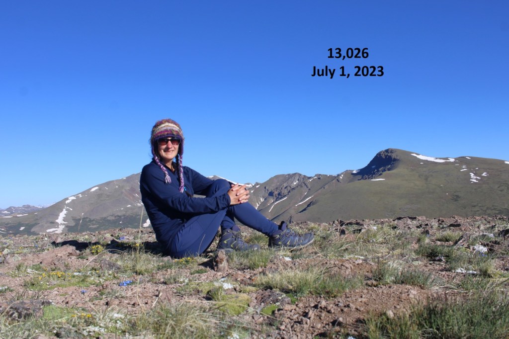
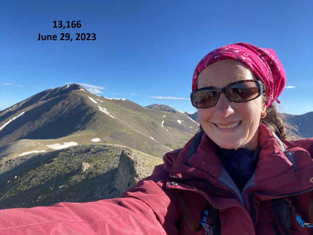
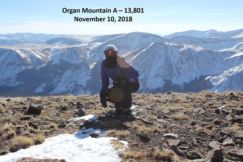
From here I dipped down and climbed the approx. 400’ to the summit or Organ Mountain. Sorry, but I don’t have many pictures from the summit.  I couldn’t take off my gloves and my DSLR camera was doing that fun thing where it takes 50 seconds to take a picture, and I was, well, FREEZING!  That wind was brutal!  I got out my cell phone to take a video and it went from 40% battery to 9% and turned itself off before I could even start videoing, let alone take off my gloves to start the process.  Great.  I’d made it, but my camera(s) hadn’t.  Here’s the one terrible picture I got from the summit before my cameras failed.  I summited at 9:28am.

21

I didn’t stay long because I was cold and on a mission to get home before 6pm so I could take my daughter to a play tonight, so I turned and booked it back down. When I made it to point 13,400 again the wind died down for a bit and I was able to plug my phone into the solar powered battery charger I’d brought.  The phone turned on again, but my route had been lost.

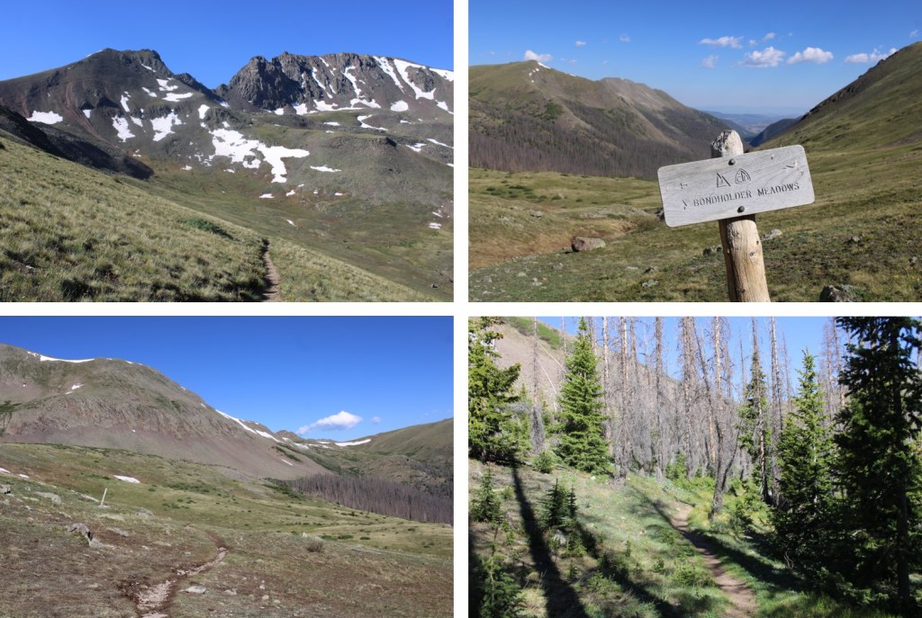
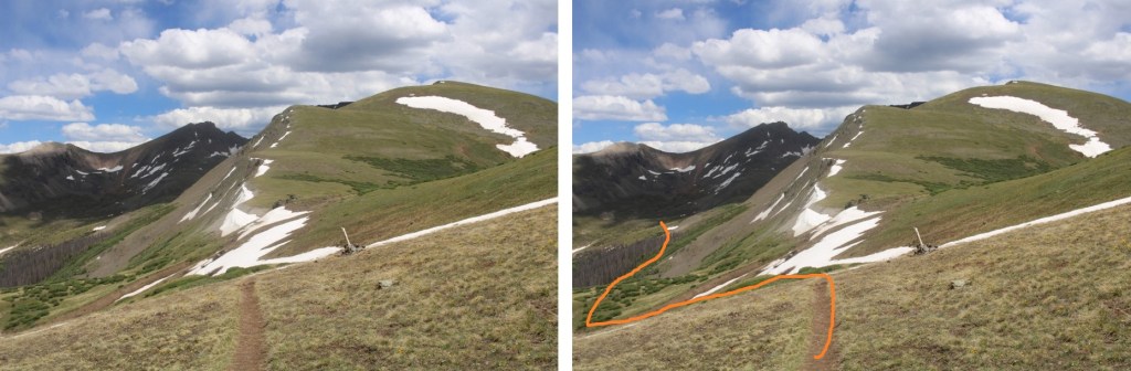
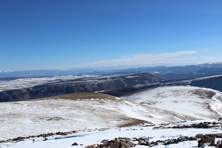
I made it to the ridge and had a great view of the way I was supposed to gain the ridge to the plateau but hadn’t. No regrets!

22

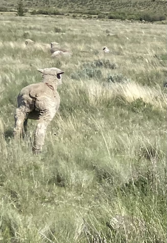
Time to head back down! (Those tracks aren’t mine… I’m guessing Mountain Sheep/Goat)

23

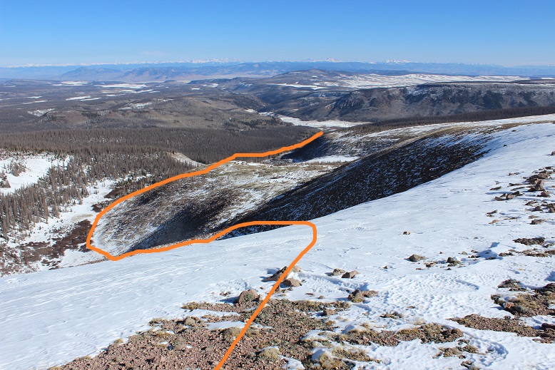
Here’s the route I took. I just headed for the basin.  Yes, it’s steeper than it looks, but the rocks are relatively stable, especially with snowshoes on.

24

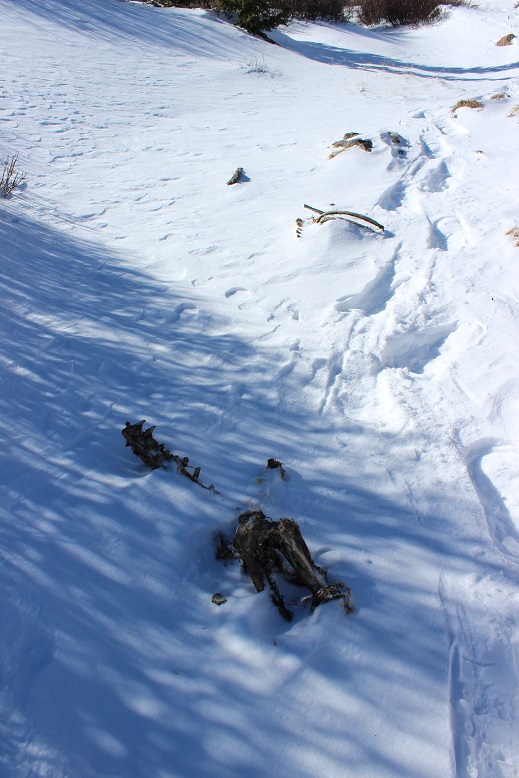
I made it back to the basin and followed it back to Hondo Creek. At the top I found the remains of what’s most likely an elk/moose, and probably the source of a few of the mountain lions’ meals (or had been this past spring/summer: the carcass had been picked pretty dry by this point).  It was the right distance away from the lion den to be its food source, and it had been buried at one point.  There weren’t any tracks here, but I didn’t stop to investigate much either.

25

Now I was racing against the clock. Luckily, I had my previous tracks to guide me back down the mountain.  Knowing I just needed to follow the creek I took a more expeditious route and stayed to the north of the creek, instead of dropping down into the creek as I had on the way up.  This made the trek much faster.

As I descended the temperature warmed up and I was much more comfortable. I made it back down to my truck at 12:15pm, still the only vehicle in the lot. This was a 9 mile hike with 3500’ of elevation gain completed in approximately 6.5 hours.

26

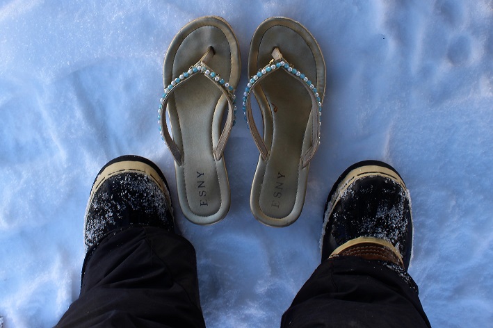
I immediately changed out of my gear and switched my snow boots to sandals for the drive home.

27

The drive out was much easier than the drive in, but I was more careful as well. There weren’t any vehicles parked at any of the trailheads.  I passed a truck with a trailer full of wood who didn’t seem to mind driving on the snow to get around me, and a large tractor with the biggest tires I’d ever seen wearing chains crunching down the road.  And I didn’t die from exposure!  Woot!

28