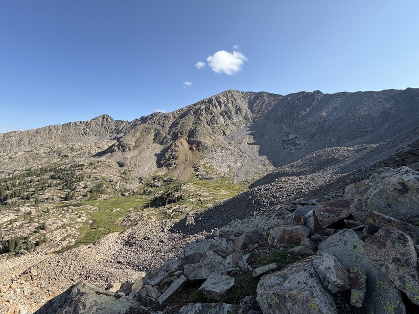
Stats:
- Trailhead to Negro Basin: 6.03 miles, 2403’ elevation gain
- Negro Basin to Pika Peak and back to basin: 2.49 miles, 1441’ elevation gain
- Negro Basin to Gold Dust Peak and back to basin: 2.64 miles, 1659’ elevation gain
- Negro Basin to trailhead: 6.03 miles, 124’ elevation gain
I started from the Fulford Campground/Lake Charles Trailhead. The road to get there is 2WD but clearance is recommended. There were spaces for about 20 vehicles in the lot with overflow parking on the side of the road. I got there on a Thursday and there were already several vehicles overflowing onto the road. There are a few (5?) first-come paid campsites but no one was utilizing them while I was there. There’s a clean bathroom that actually didn’t smell too bad. Help to keep it clean people 😊
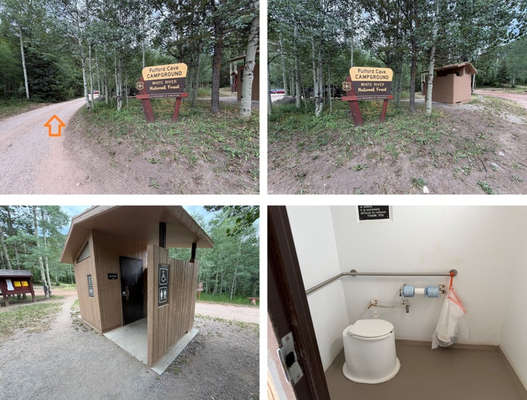
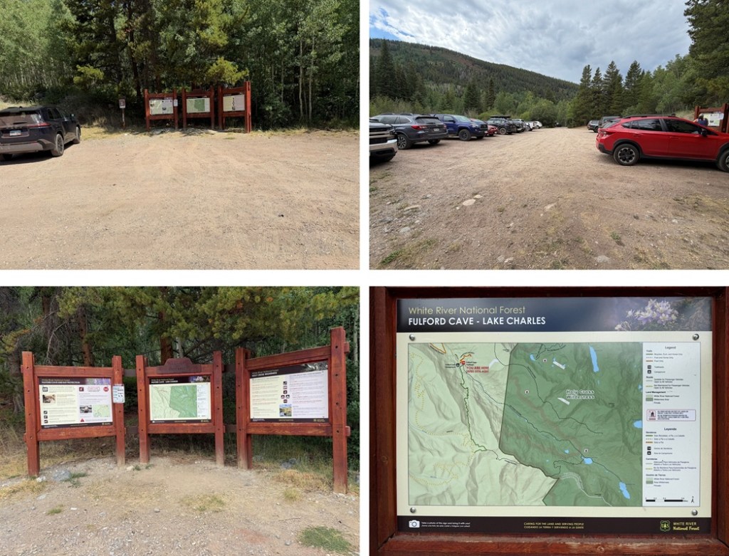
The trailhead is easily identifiable but be aware this is also the trailhead for Fulford Cave. Make sure to start on the trail that goes behind the gate.
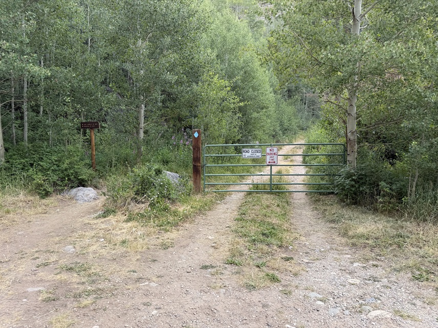
I followed the road for a very short distance and then turned left onto Lake Charles Trail 1899
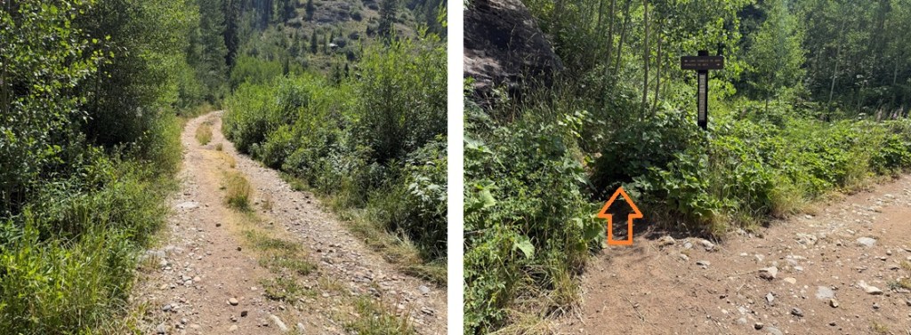
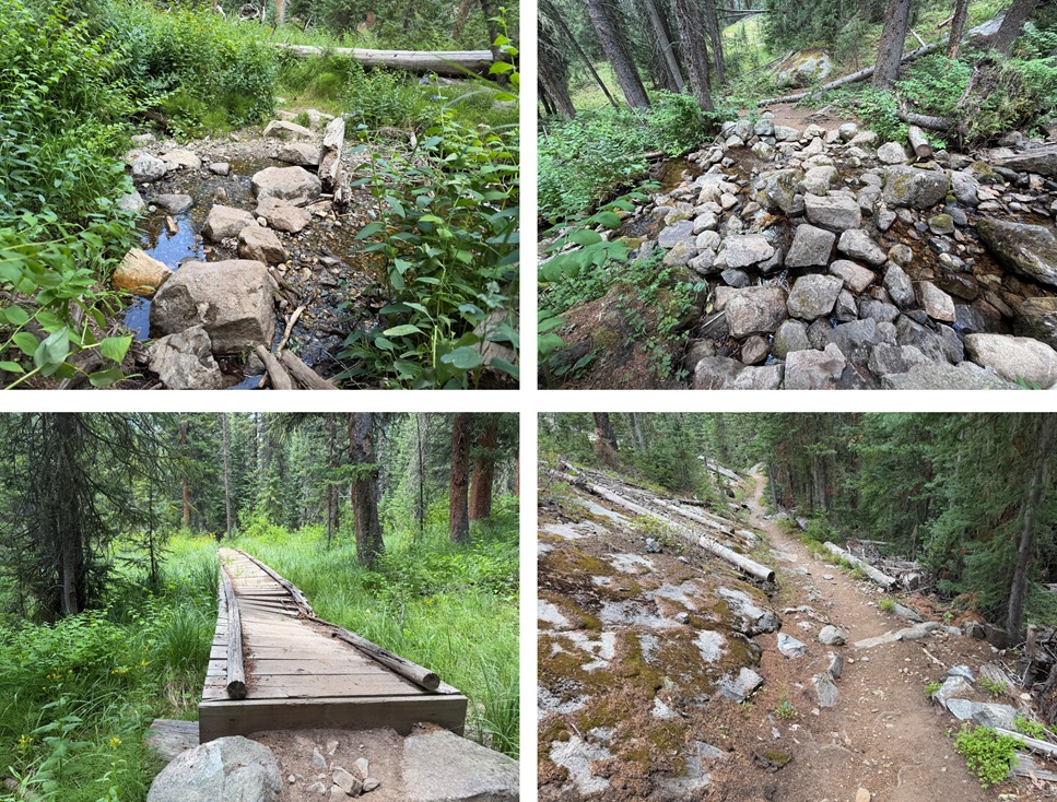
Lake Charles Trail is a class 1, easy to follow trail and well maintained without any trail crossings. I followed it all the way to Lake Charles. This trail follows East Brush Creek… east.
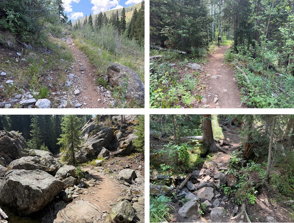
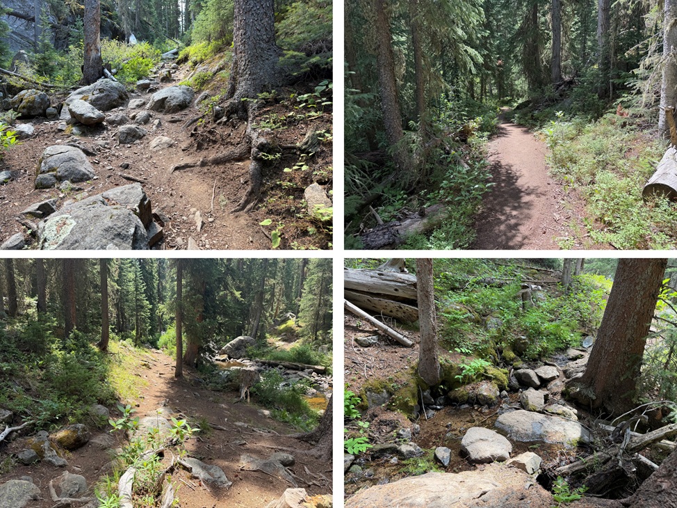
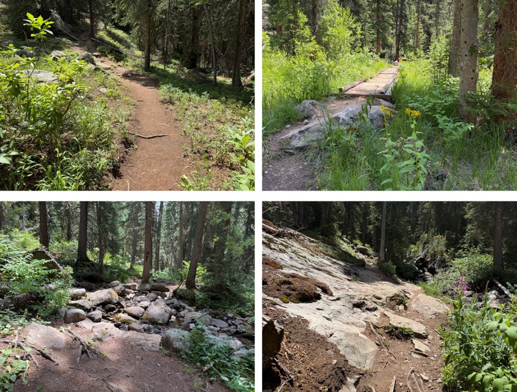
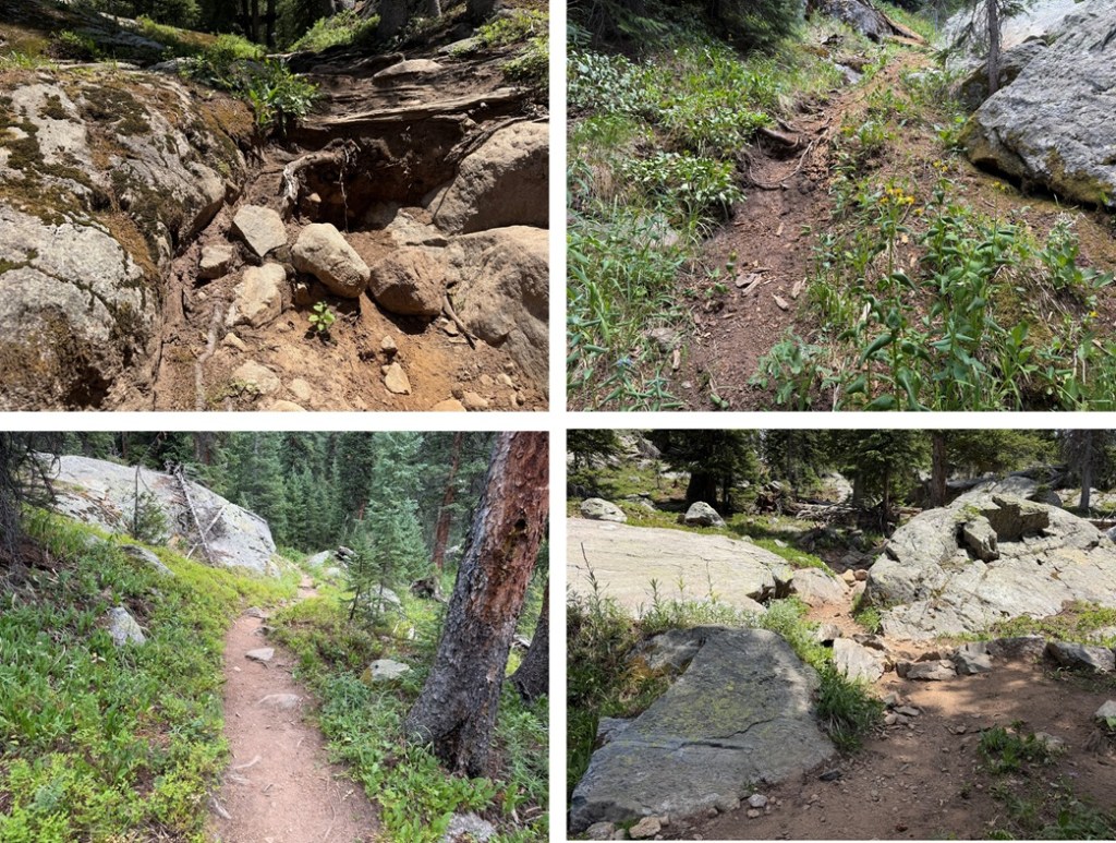
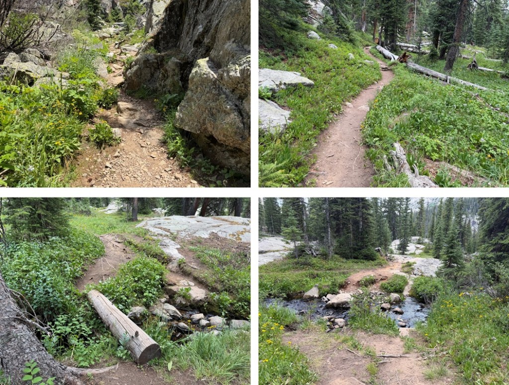
After hiking for about 4.5 miles I made it to Lake Charles.
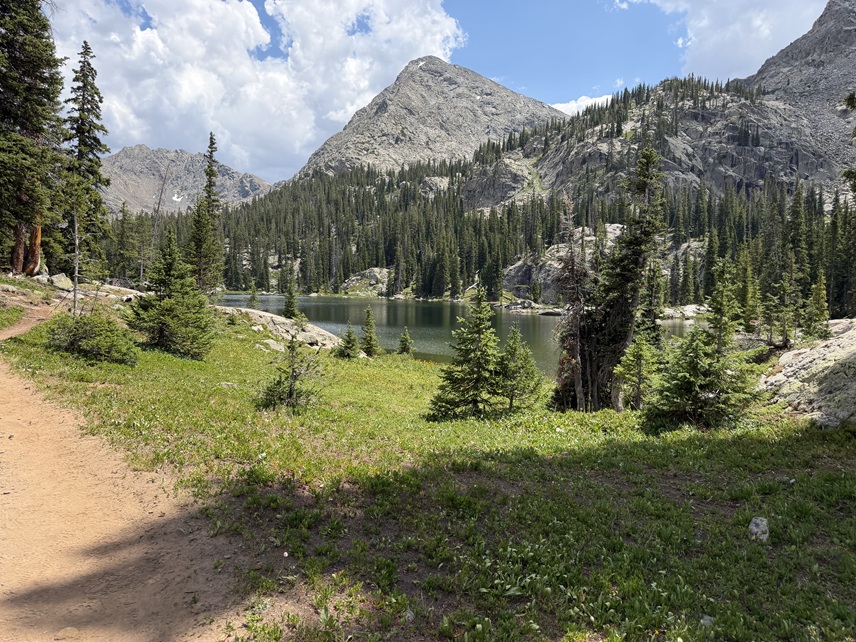
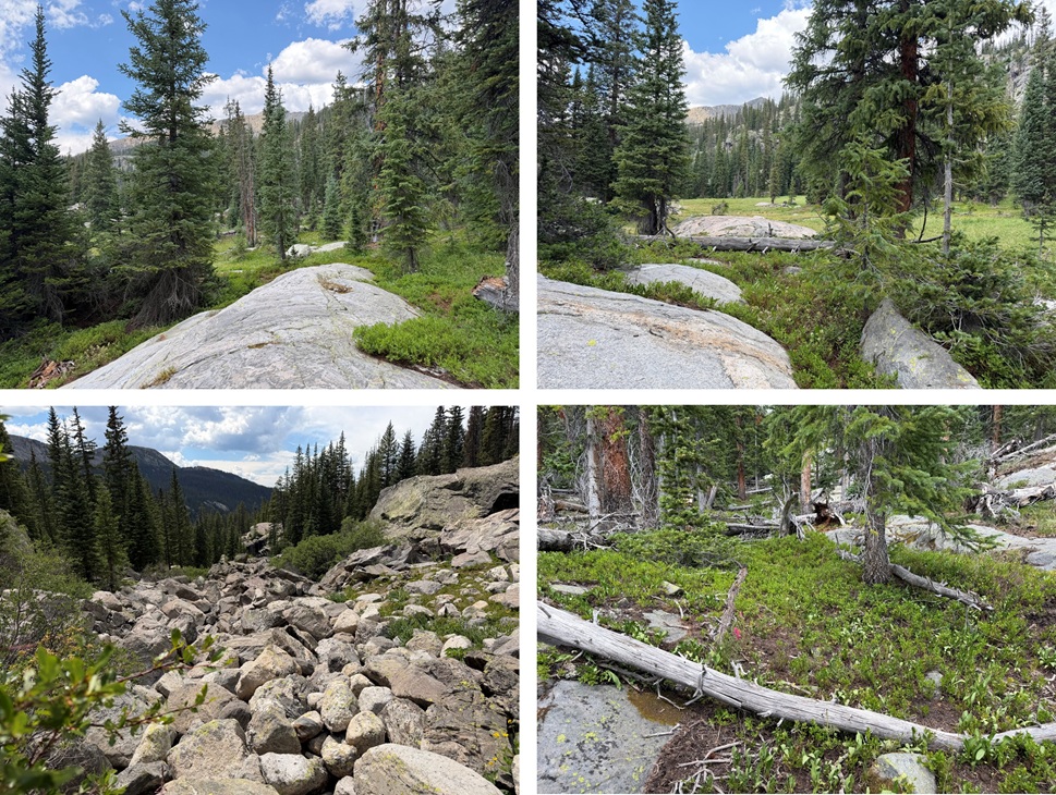
This is where I made a “mistake”. I’d heard after making it to the lake to turn left and look for a headwall to ascend. The problem with this is I don’t tend to do well with written directions. I need pictures. I tried it anyway. I turned left and then wandered aimlessly looking for a headwall I couldn’t see due to the trees blocking my view and ended up back on the normal route and took the gully up. To be fair, the gully wasn’t all that bad. There was even a trail for a while. Yes, there were willows, but I found if I stuck to the right and did a little class 3 rock hopping I could avoid all the willows. I ascended this gully into Negro Basin.
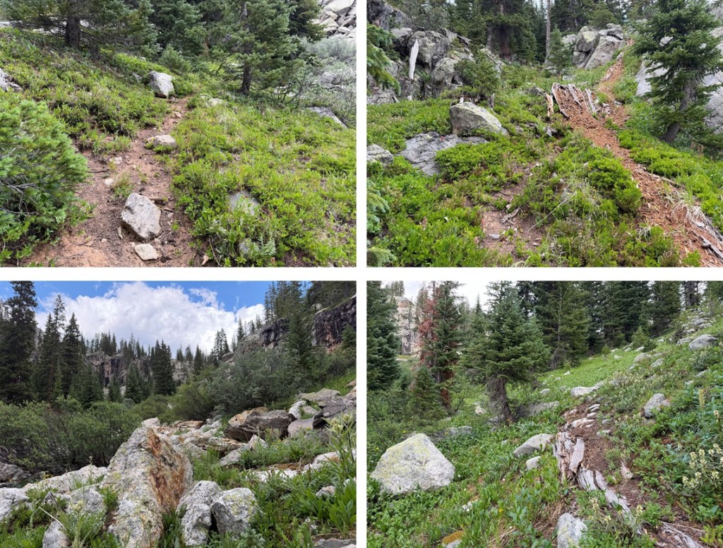
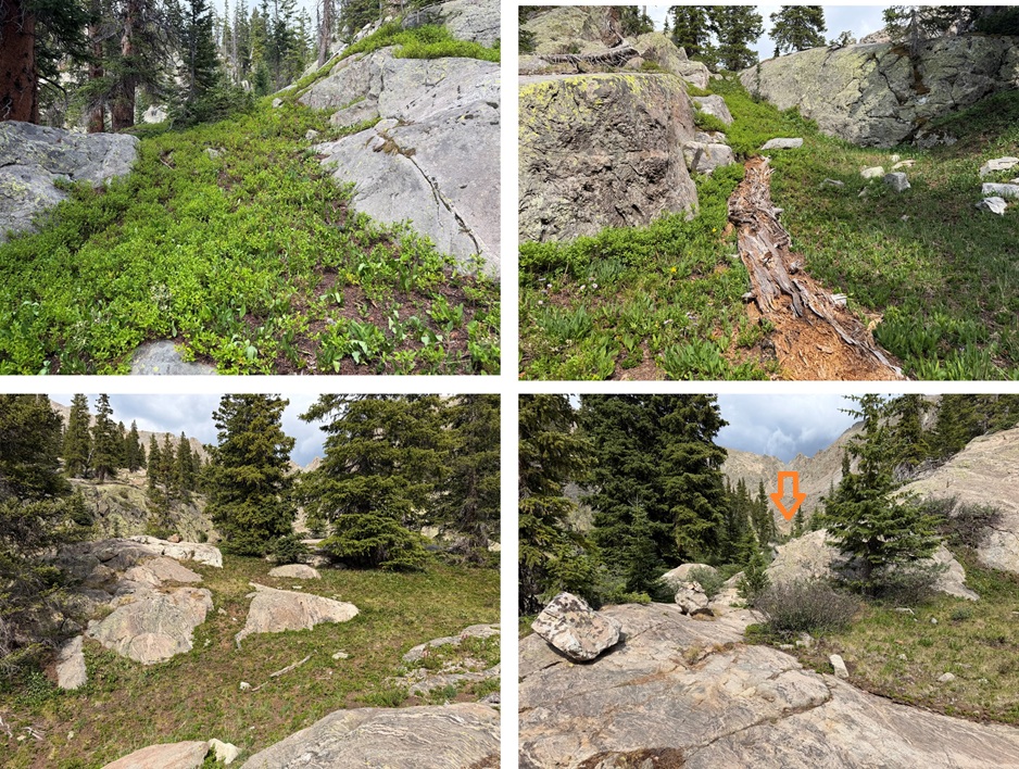
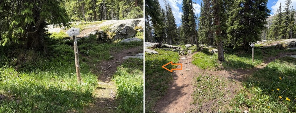
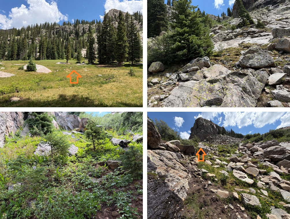
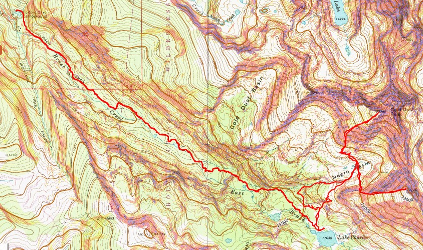
As you can see by my topo map I was able to find the other gully on the way down. My advice is to turn left BEFORE the lake, when you see this sign: “Ironedge 1873”. The sign is to your right but turn left there.
You will have a visual of the rock wall and route to ascend. This was indeed easier. There was some rock hopping in the beginning, then by staying to the left of the gully you’re basically on grass the entire way up.
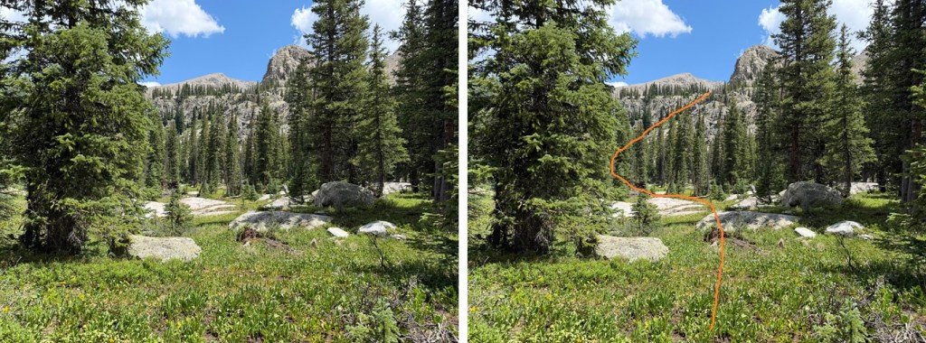
If taking this route head north to the headwall, then ascend towards Negro Basin.
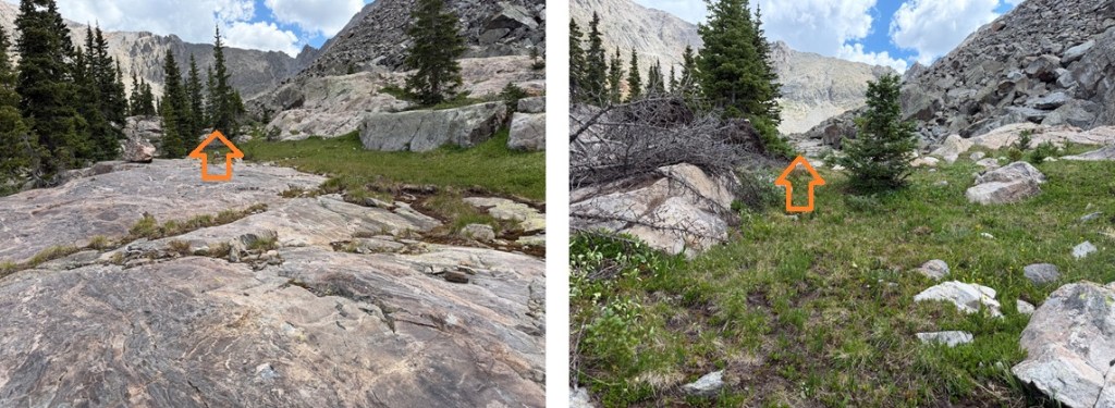
At the top continue skirting the rocks NNE to Negro Basin.
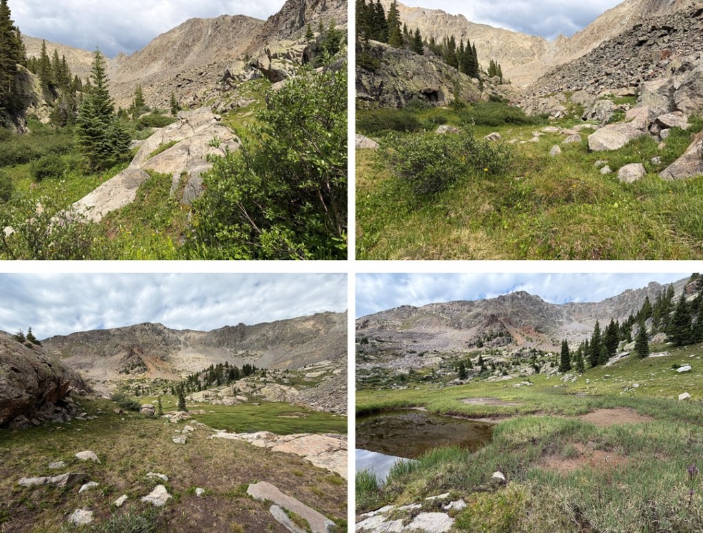
Both routes now combined, whichever one you chose you’re in Negro Basin.
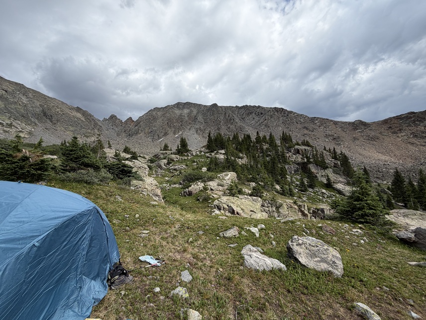
I found a place to camp, set up my tent, and waited for the storm to roll in. With a 30% chance of rain that day it rained from 5pm-9pm, and probably off and on throughout the night.
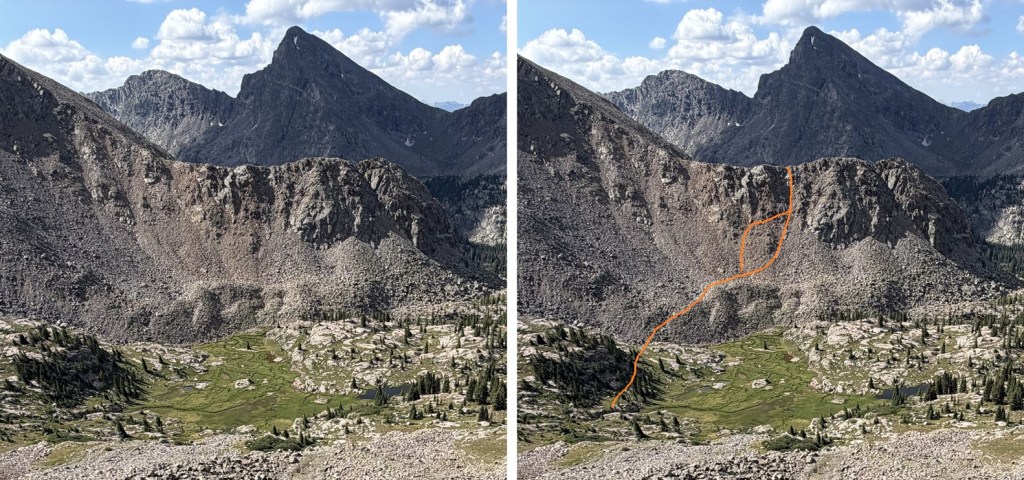
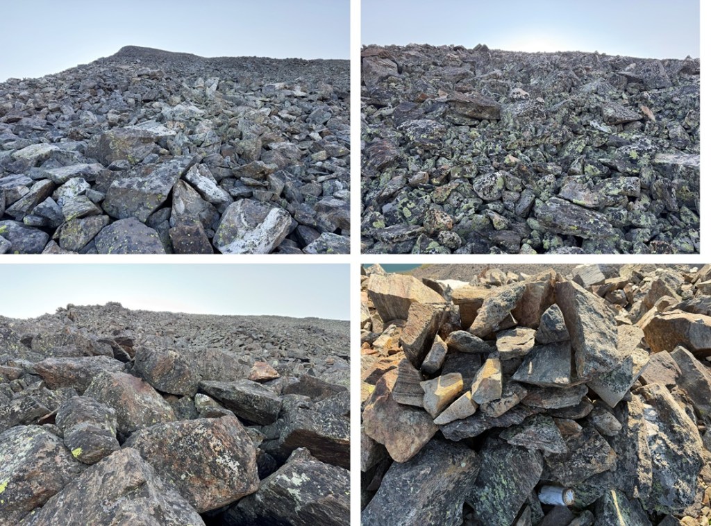
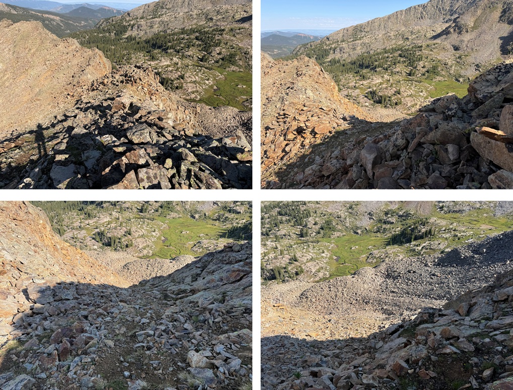
The next morning I was up and hiking at about 6:30am. I was headed for Pika Peak first. I first needed to gain the ridge via a gully. I took a different route up and down this gully. Both were class 2+, neither better than the other. It started out with large boulders then gradually the rocks got smaller and smaller. Everything was loose. I wore a helmet. Here’s an overall view of my route to the ridge:
22
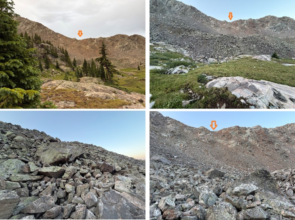
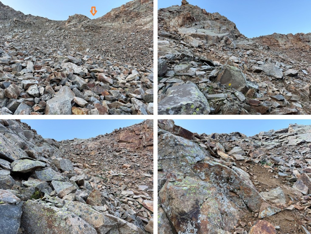
Once at the top of the gully I turned left and followed the ridge east to the summit. It was about a mile of hiking with 1200’ of elevation gain once on the ridge. There was a lot of rock hopping. All class 2.
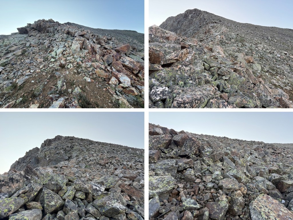
I summited Pika Peak at 7:45am
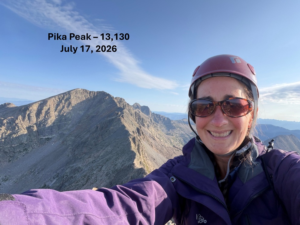
Pika Peak:
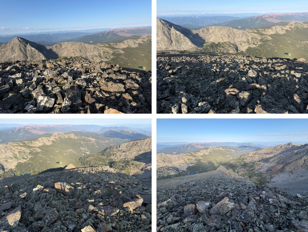
I turned and headed back down the ridge
Then headed down the gully back to my campsite
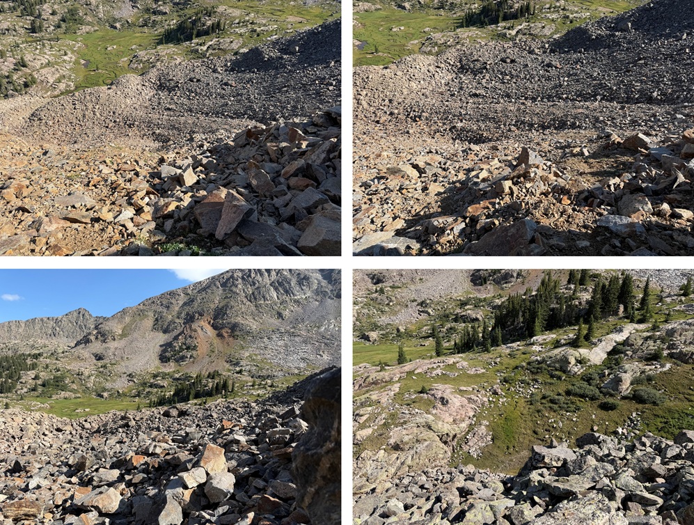
I got back to my campsite, filtered some water, and then relaxed for the rest of the day. I even read an entire book. I needed an off day to catch up and relax, and while I had plenty of time to do Gold Dust Peak as well I wanted to enjoy my time in the basin. I waited for the rain that was supposed to come but never came. I did however get to watch some mountain goats come down from the ridge.
Mountain Goats:
Also, pro tip: Don’t camp too close to the waterfall. While I wasn’t very close I was close enough to hear it and hearing the running water made me feel like I had to pee all night. The next morning I was on the trail at 5:30am, heading for Gold Dust Peak. From my campsite I headed northwest and ascended a gully to the ridge. Here’s my overall route:
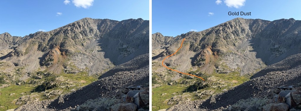
The access gully was easy to find. I worked my way over grassy slopes, opting to skip most of the rock hopping. This gully was much easier to ascend than the one for Pika Peak. It was solid and the ascent was mostly on tundra.
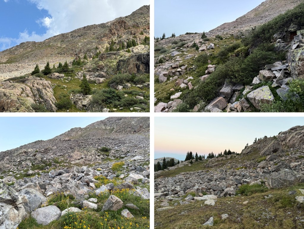
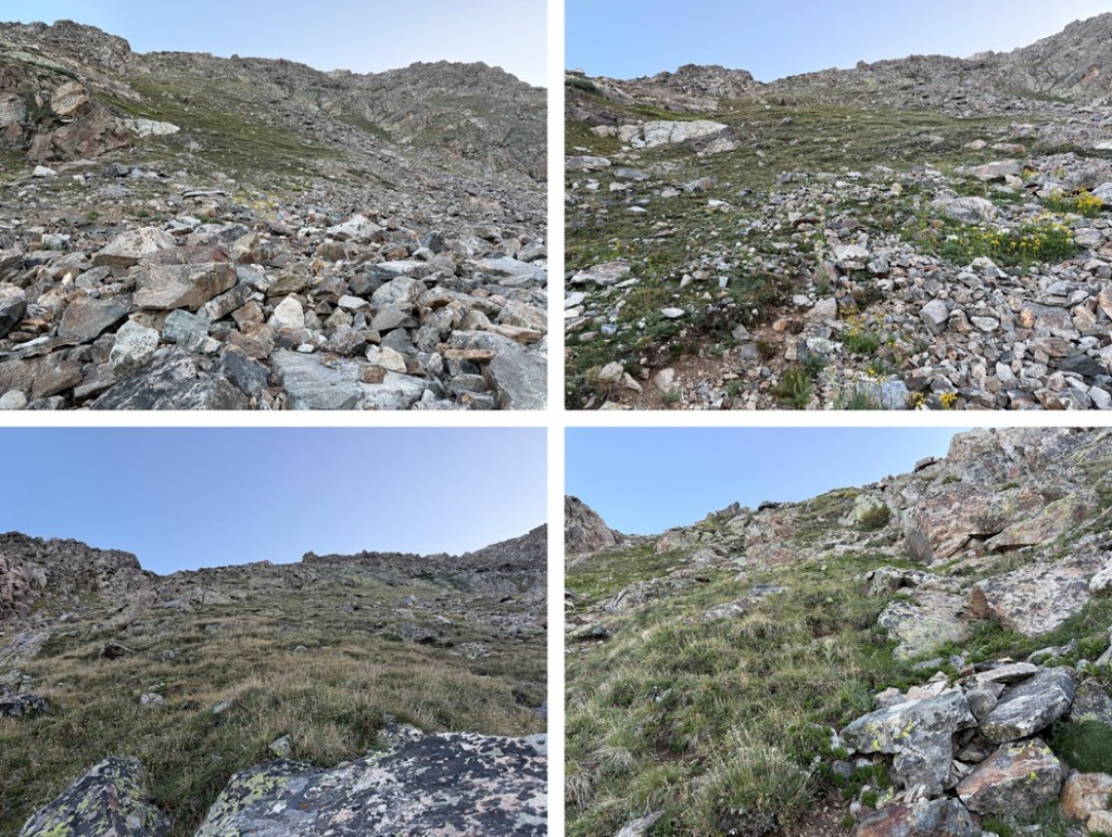
You can take this gully all the way to the ridge, where it becomes class 3 for a short distance once you’ve gained the ridge, or keep it class 2 by following game trails on the right to the ridge. I followed the game trails up, the ridge down.
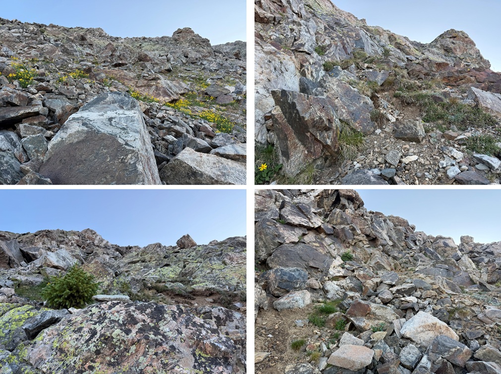
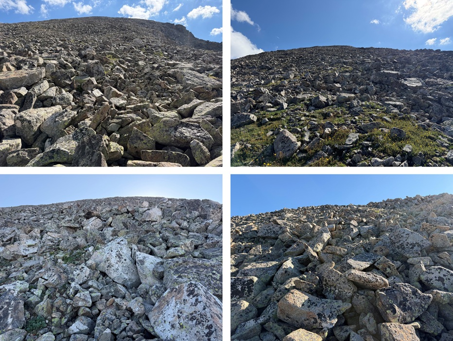
Once on the ridge I turned right and followed the class 2 rocky ridge northeast for a mile to the summit. This ridge was comparable to the ridge for Pika Peak. Lots of rock and lots of elevation gain.
I summited Gold Dust Peak at 8:30am
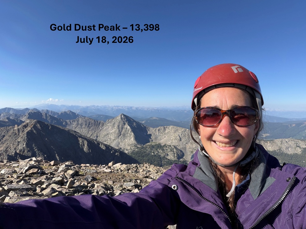
Gold Dust Peak:
I had cell service on the peak so I made a few calls and hung out for a while, then headed back down the ridge
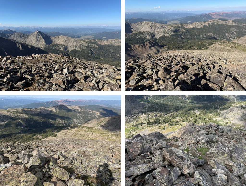
I decided to take the class 3 section on the ridge proper to the gully. It was quick, only about 50 feet or so, and easy class 3. It saved me a lot of time route finding and was very straightforward.
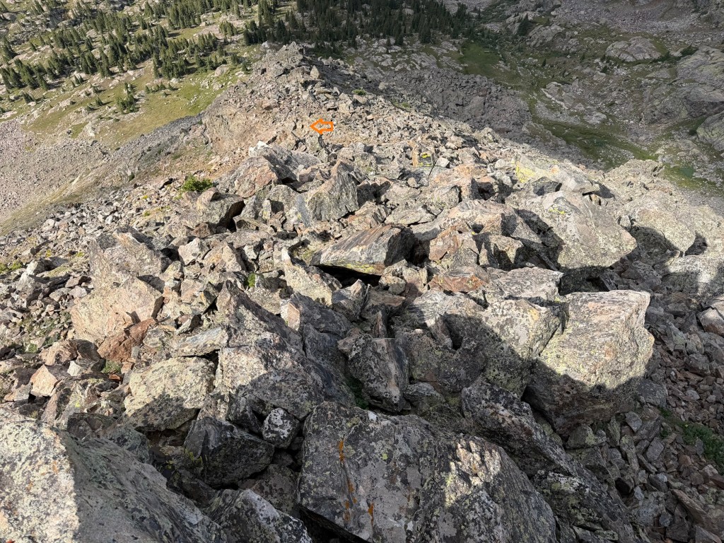
Then it was down the gully and back to my campsite.
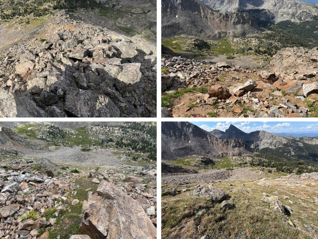
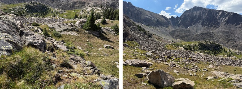
Back at my campsite I took down my tent, packed up my gear, and drank a beer. Then I headed southwest out of the basin to look for that headwall I’d heard about.
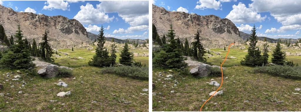
It was easier to find from above, but I did need to do a little route finding to figure it out. From exiting the basin stay to the left hugging the mountain until you come to the gully.
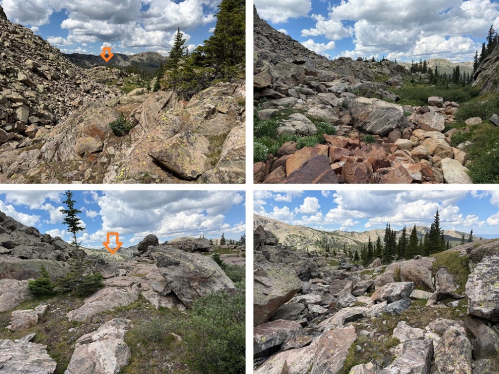
The rocky gully will become obvious. I rock-hopped down a bit, then went to the right and followed the grassy slope that paralleled the rocks down. It’s important to note where Lake Charles is in the distance as a frame of reference for when you can no longer see the lake.
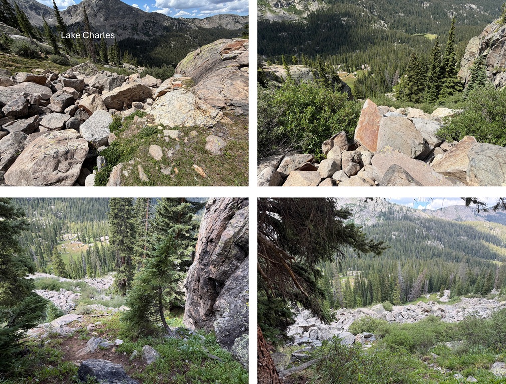
Once down the gully I headed south towards Lake Charles and the trail.
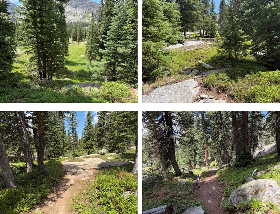
Back on the trail I turned left and followed it 4.5 miles northeast back to the trailhead.
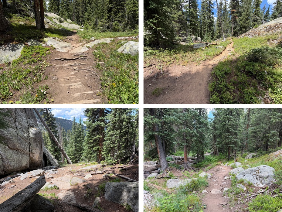
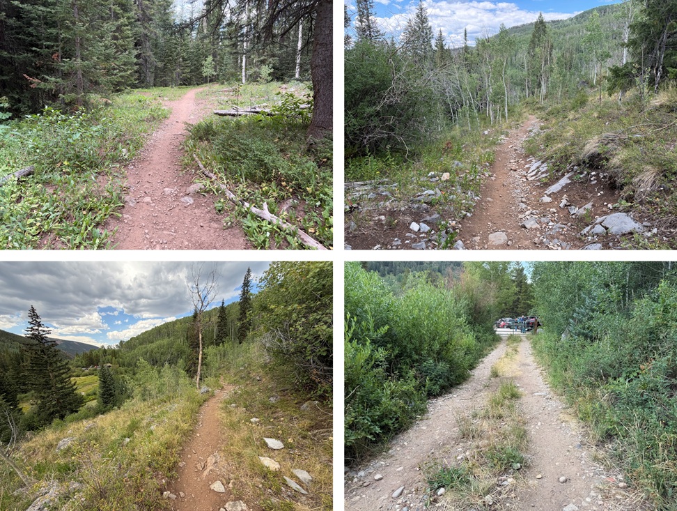
I made it back to the trailhead at 2:30pm.
On to the next trailhead!

