RT Length: 8.59 miles
Elevation Gain: 2897’
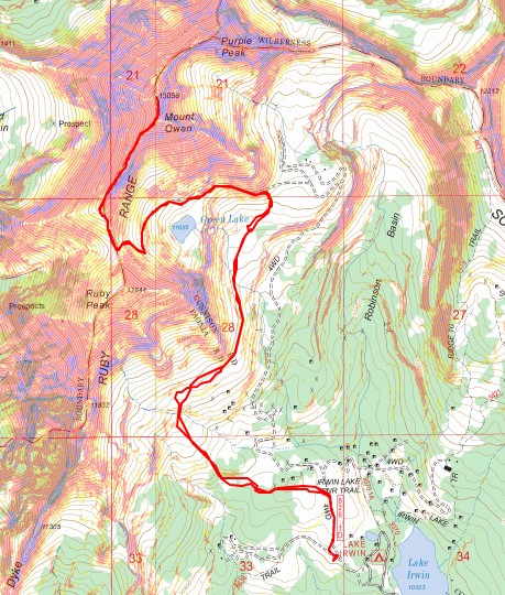
I was a little leery of doing Mount Owen after hearing about the private property issues with landowners. So, I did my best to plan my route with CalTopo to avoid private property. I didn’t see any private property signs while hiking so I’m fairly sure this route avoids trespassing. In any event, I did see hunters out there as well.
I started from a dispersed campsite just past Lake Irwin. It’s a dirt road to get there but I saw several sedans in the parking areas. There are several dispersed sites here, and this one had a porta potty. They have signs stating only to camp in designated sites but I’ve seen people park at the lake or along the road.

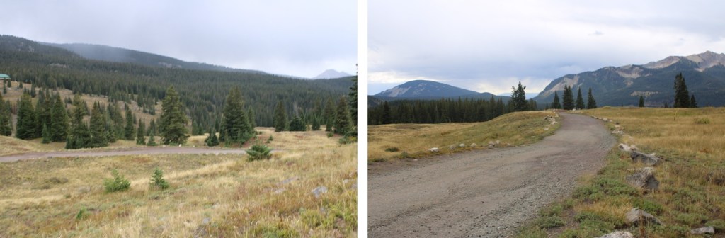
I followed 4WD road 826 1D north for about 3/10ths of a mile from my site.
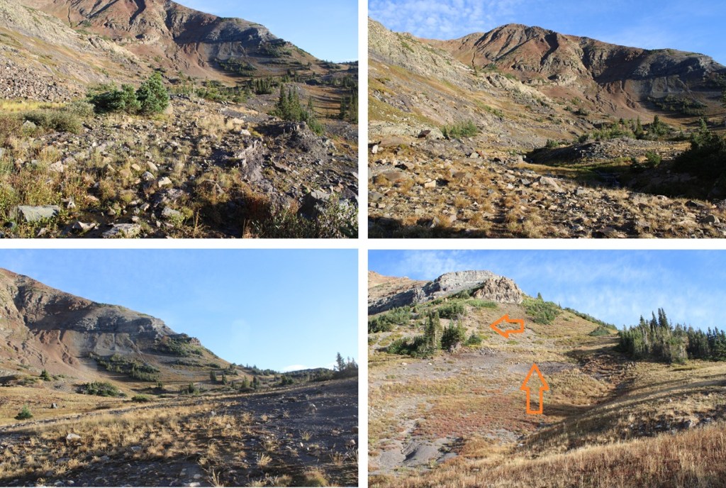
Just before coming to the first house I left the road and headed west to avoid hiking on private property.
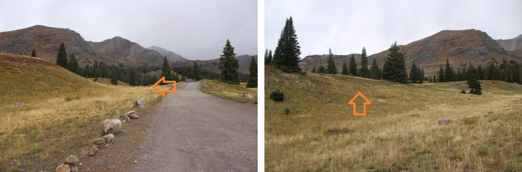
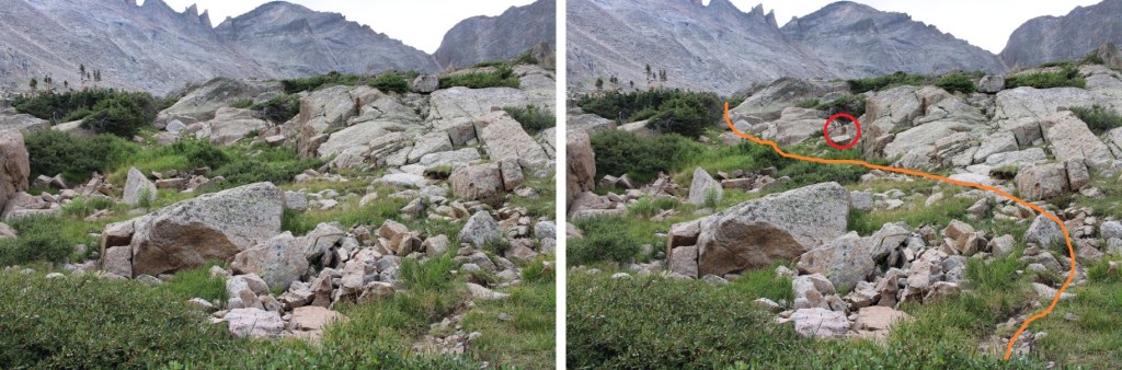
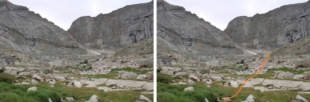
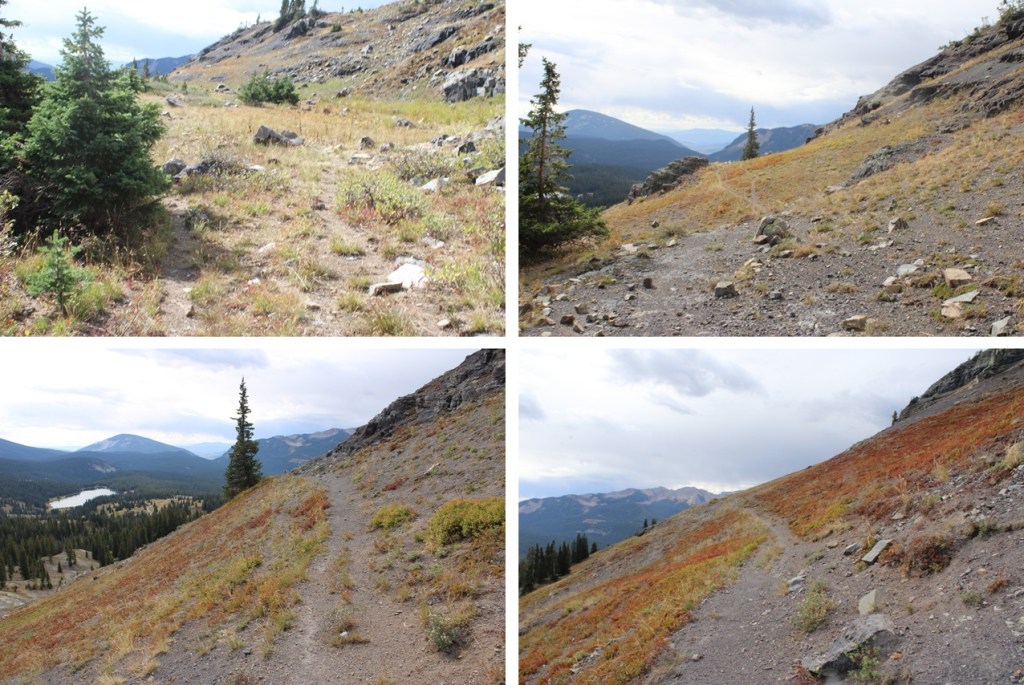
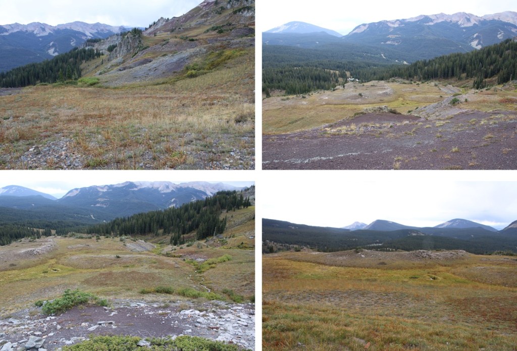
This first part is a little tricky because I did not go the obvious way (and believe me, there is an obvious way, but there are signs stating you can’t use the road if you don’t live there). It was frustrating going up and over small hills I could have easily avoided and heading further east than was necessary. Here’s an overview of my approach:
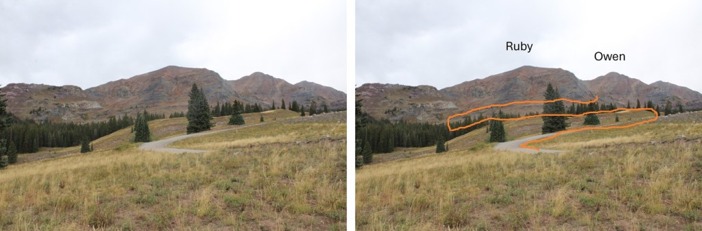
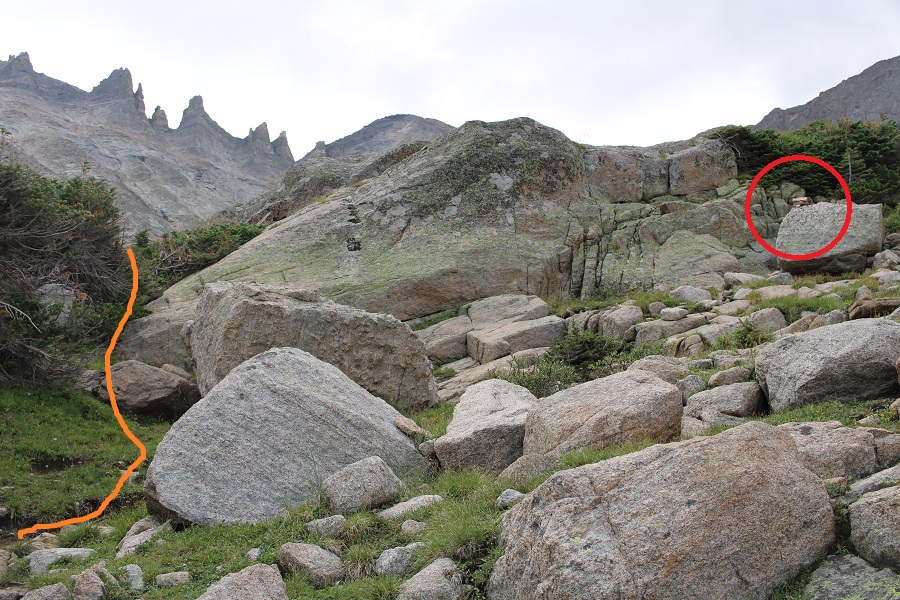
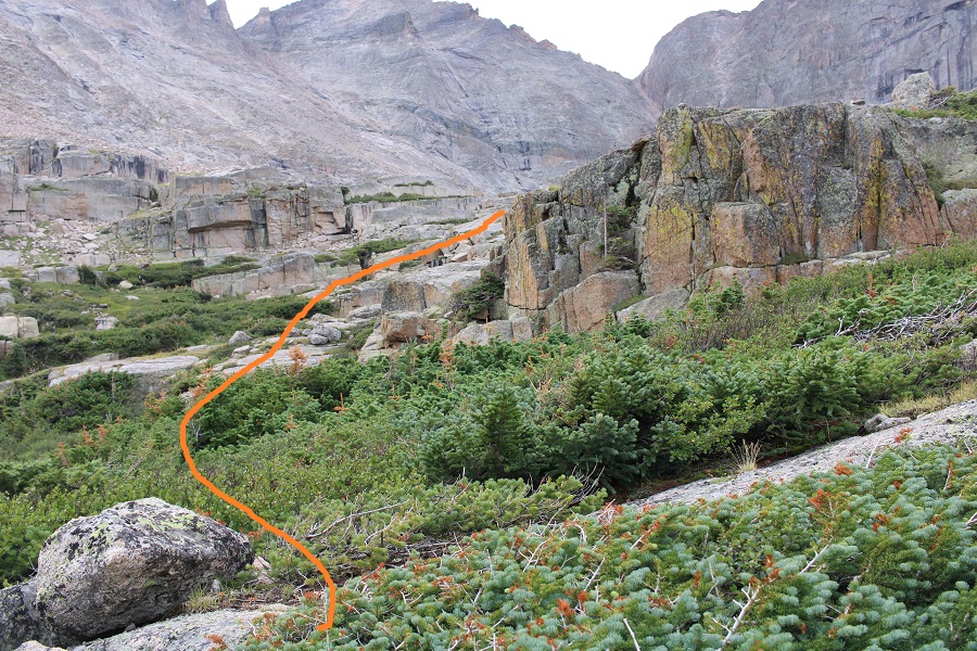
As I was heading east I was looking for a small gully to ascend.


When I made it to the gully I ascended it, heading northwest to 11175’
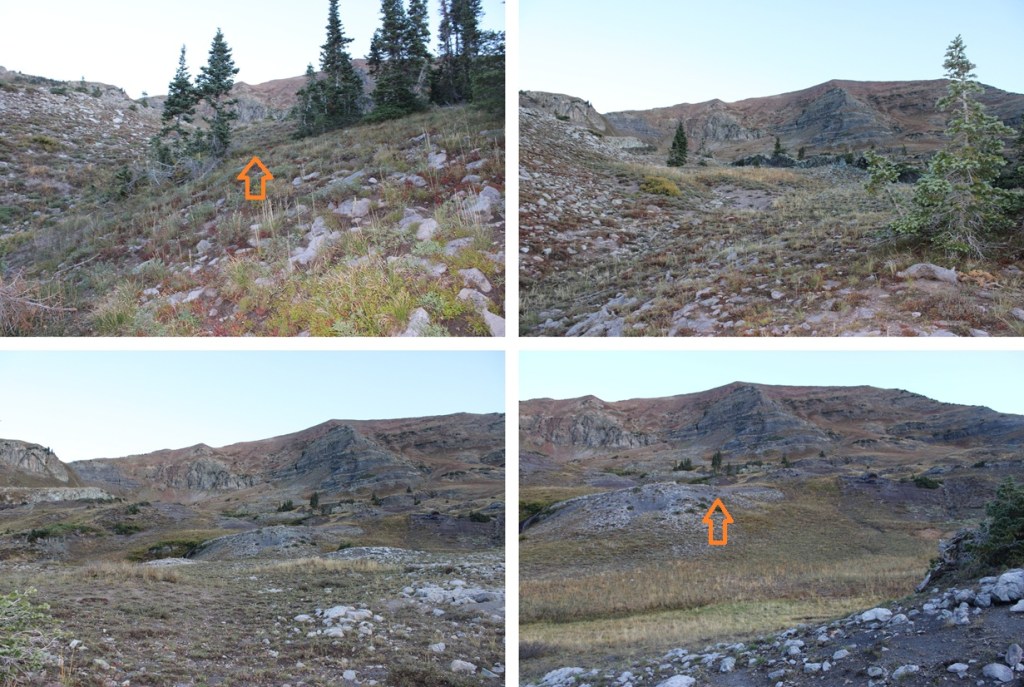
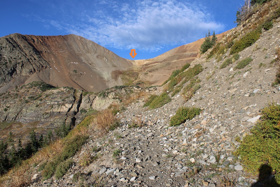
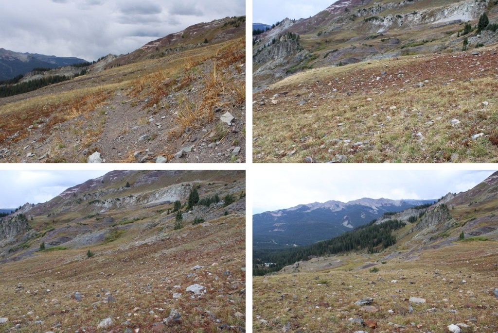
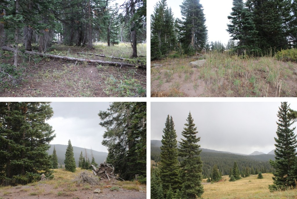
At 11175’ I headed northeast and followed the mountainside at this elevation. There were several strong game trails, and one took me all the way around the side of the mountain.

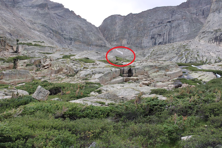
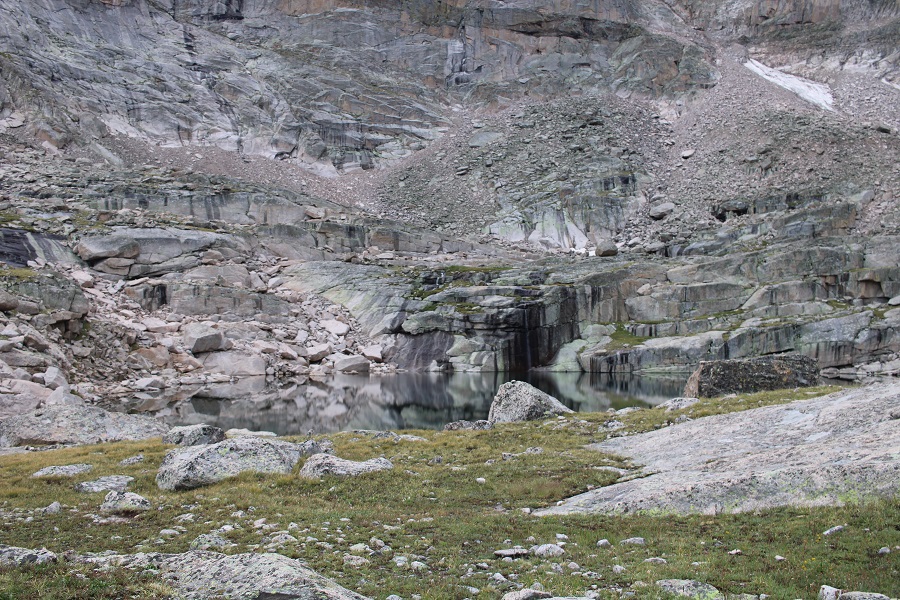
I continued following a game trail north, parallelling the 4WD road below. This eventually brought me to the base of Mount Owen, and an old mining road.
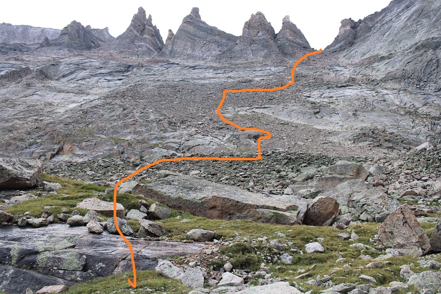
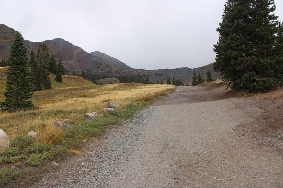
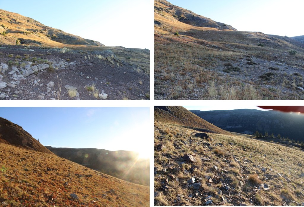
Once on the road I turned left and followed it west. This road hasn’t been used by vehicles for a long time. In many places there’s just a trail over talus and rockfall, but it’s very easy to follow. You can clearly see how the road goes all the way to the saddle. You can follow it to the saddle or take a game trail to the saddle and avoid the switchbacks.

I chose to avoid the switchbacks and head straight to the saddle. There were game trails here and some scree to navigate, but it was only about 100’ of elevation gain to the saddle.
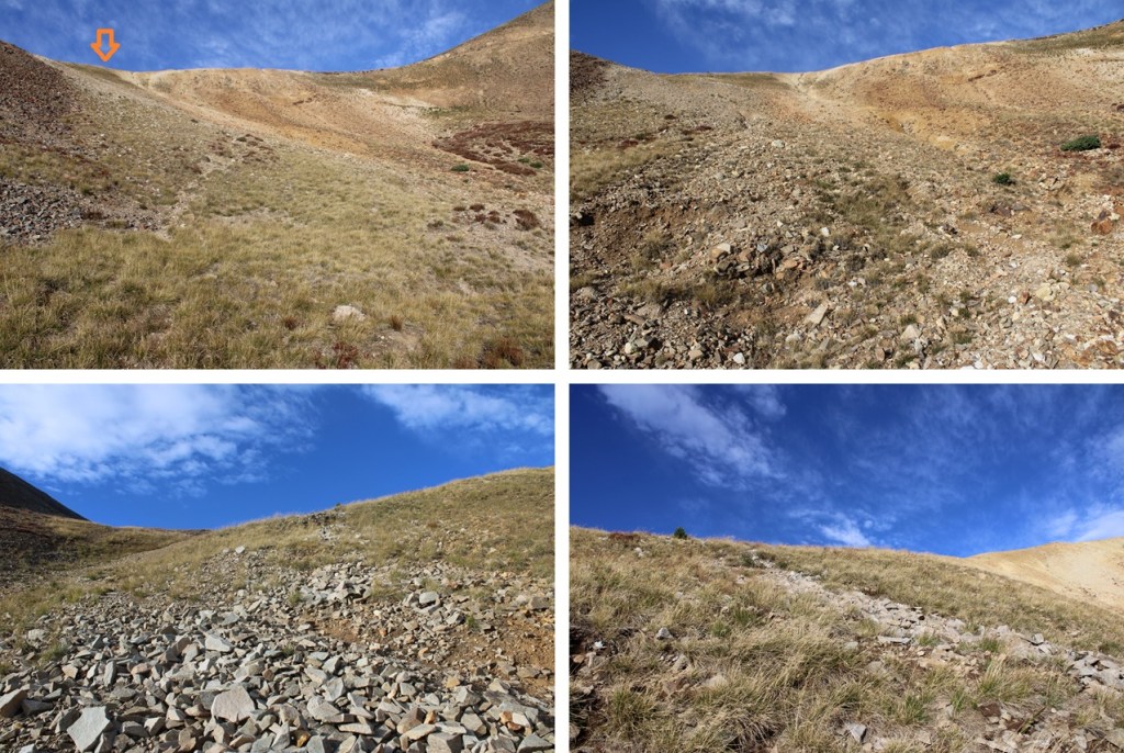
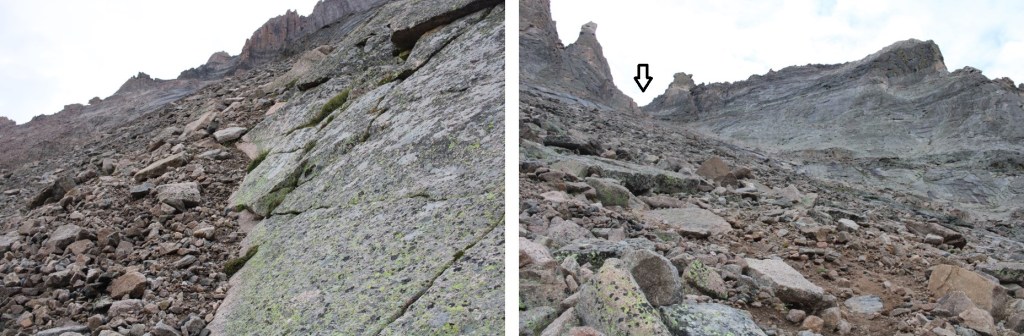
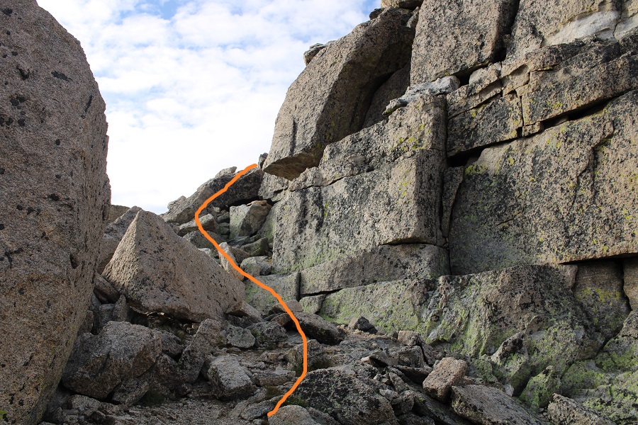
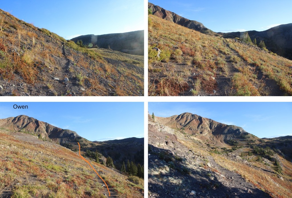
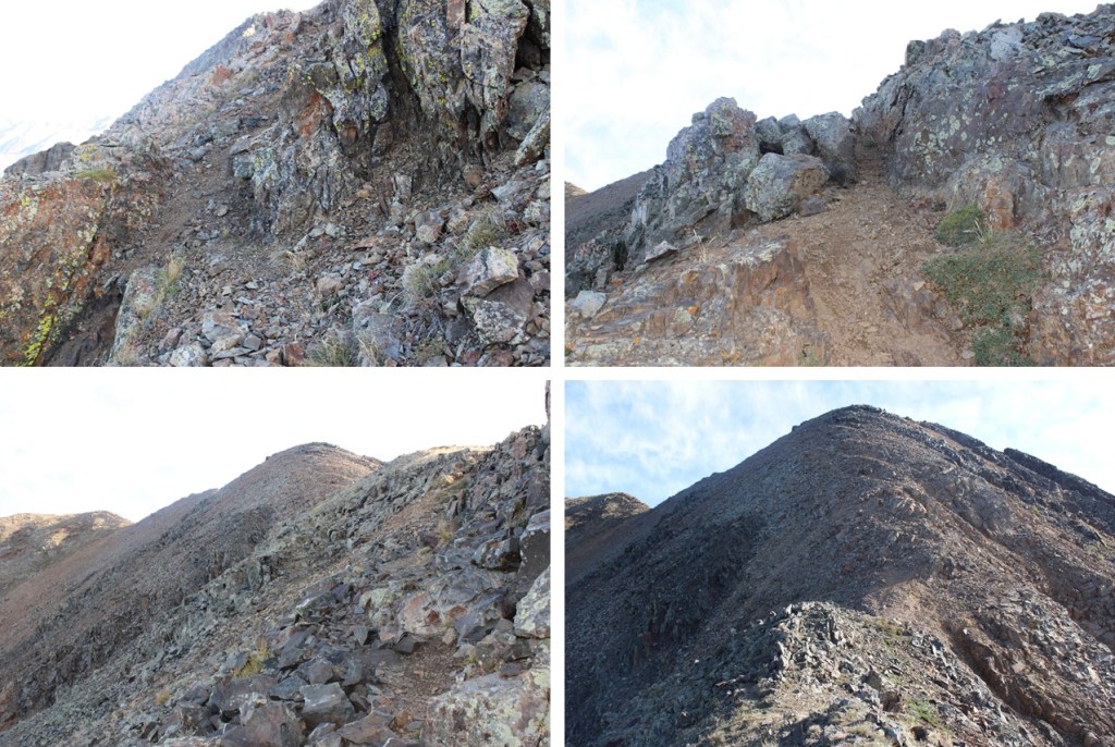
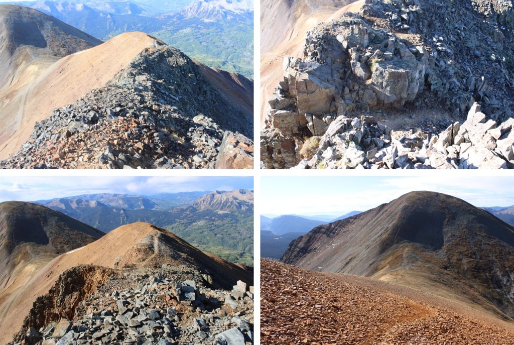
Once on the saddle I turned right and followed a game trail northeast up to the ridge and then all the way to the summit. There was some scree here, but it was all class 2 with one class 3 move that could have been avoided by going to the left. I was pleasantly surprised with how easy the trail was to follow.


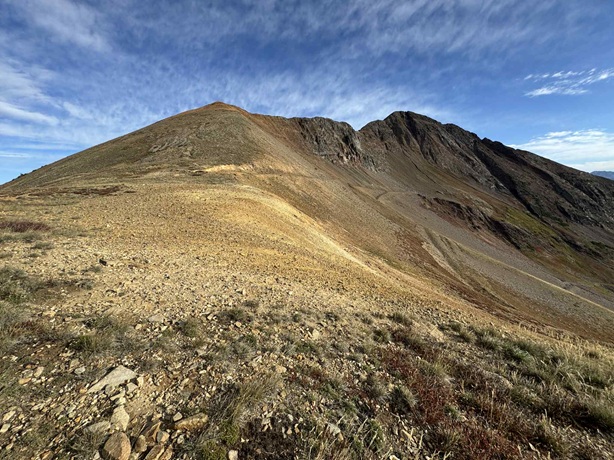
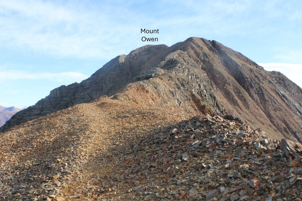
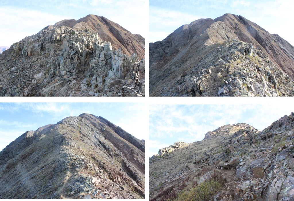
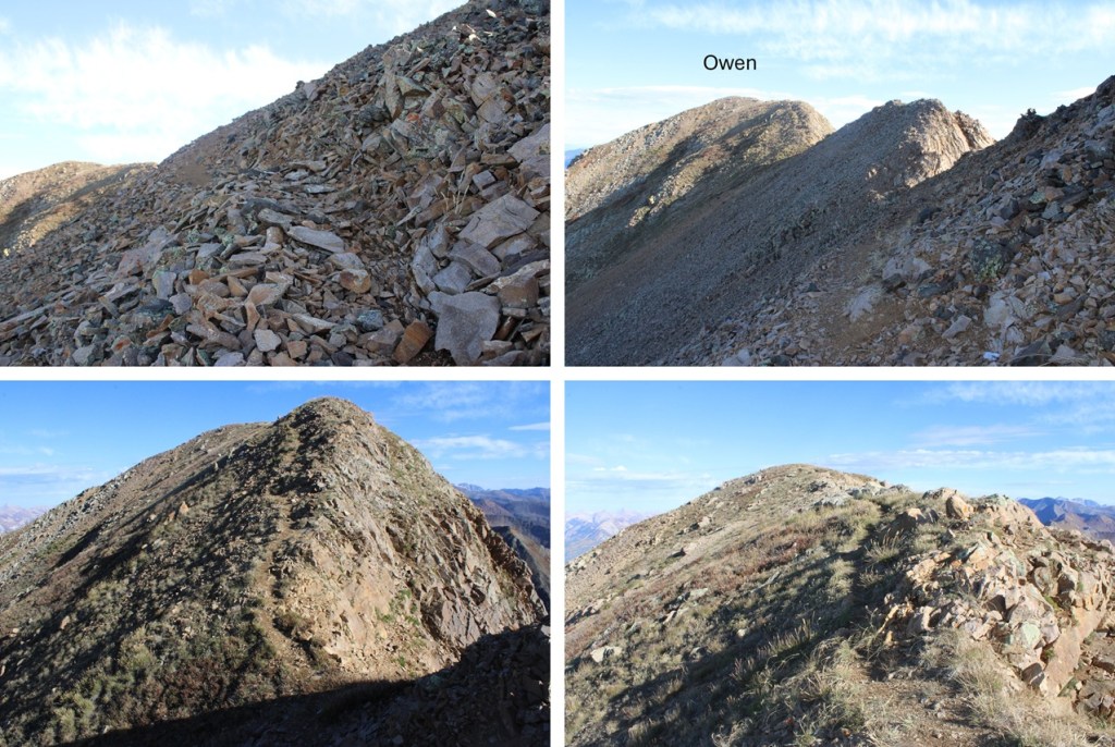
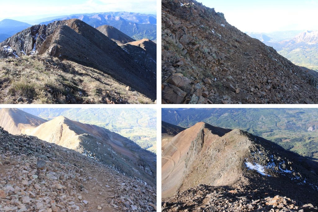
Once on the ridge I followed the ridge proper most of the way to the summit. The trail is obvious. Mount Owen is the peak to the left.
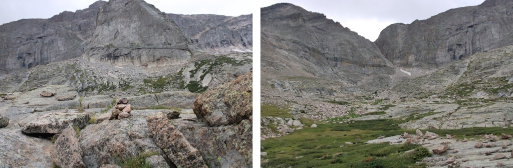
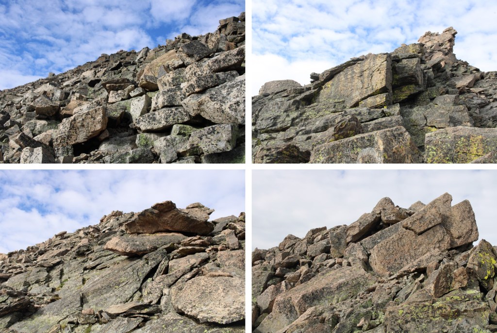
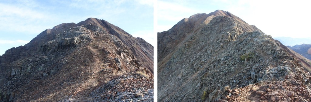
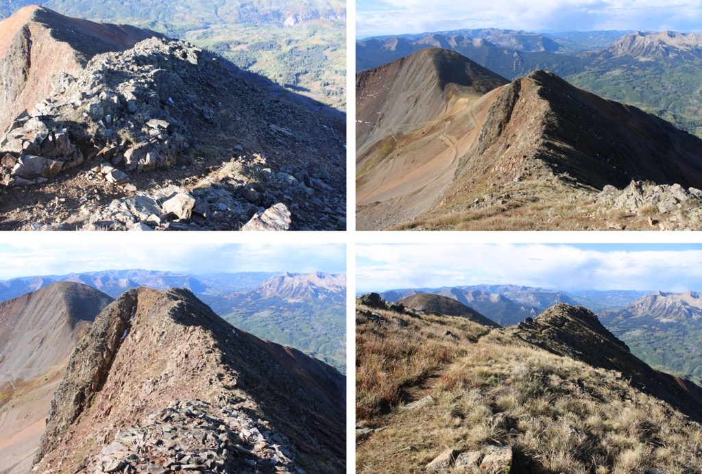
Here are some pictures of the ridge
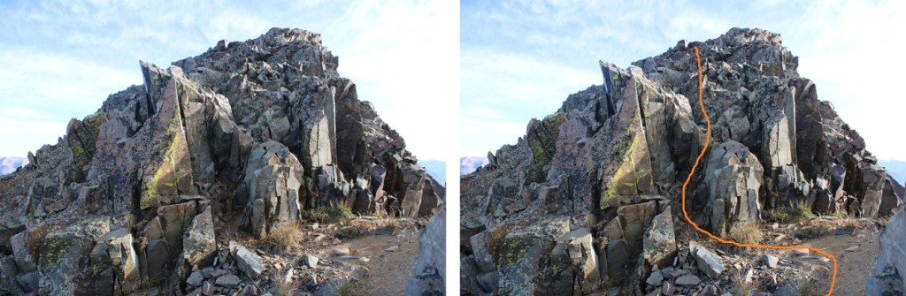
The avoidable class 3 move. Just go to the left to stay on class 2 terrain.
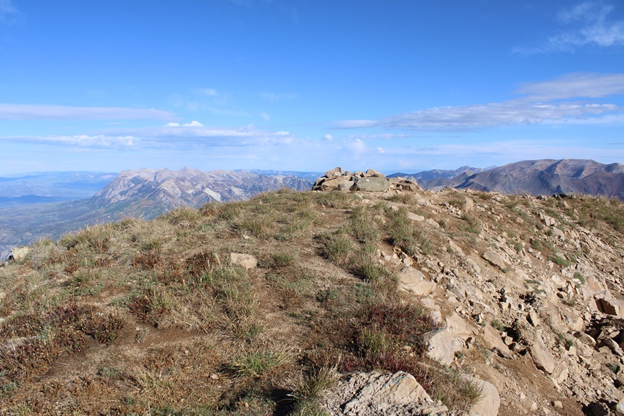
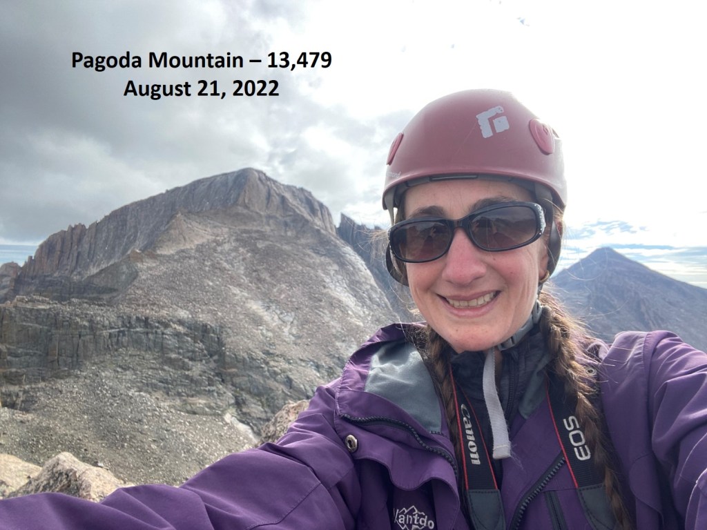
I summited Mount Owen at 9:10am. Notice how clear the sky is?
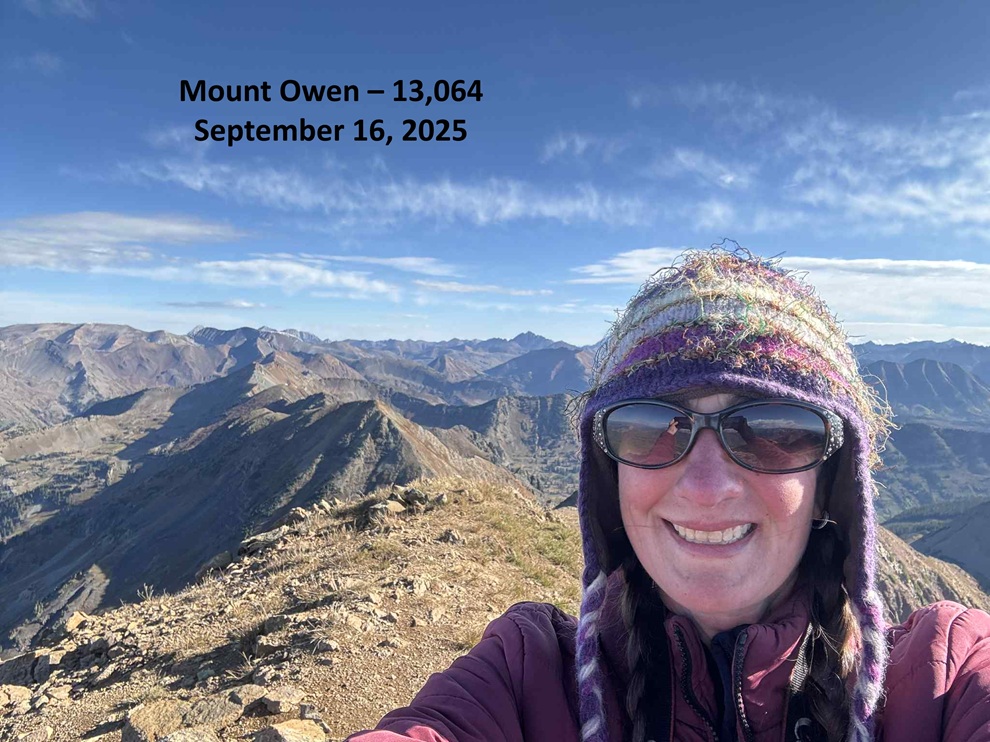
Mount Owen:
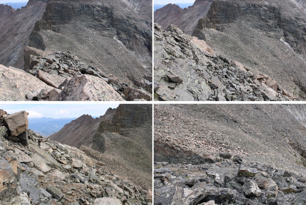
This was an out and back hike for me, so I turned and headed back down the ridge to the saddle of Ruby and Owen.

Once back at the saddle you can choose to climb Ruby Peak, a ranked 12er, but I’d already climbed this peak, so instead I descended back into the basin down the scree and hiked the road back down to 11500’.


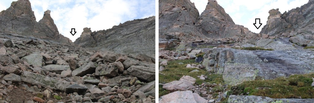
At 11500’ I left the road and headed south around the ridge. There’s a good game trail here.


As I rounded the ridge I tried to stay high to avoid private property. I didn’t go lower than 11175’ until I made it to the gully.
When I made it to the gully/drainage I followed the drainage southeast until 10550’, then headed east back to the road. This is also when I heard a big clap of thunder. Around 10:30am the skies opened up and it started raining. At this point I was cursing the extra mileage avoiding private property was giving me (no, it wasn’t actually a lot, but it meant route finding in the trees which took time), and the weather forecast not calling for rain until after noon.

Back on the dirt road I followed it south back to my truck

I made it back to my truck at 10:30am, making this an 8.59 mile hike with 2897’ of elevation gain in 4 hours.
On to the next trailhead!