PT 13006

RT Length:  7.95 miles

Elevation Gain:  2429’

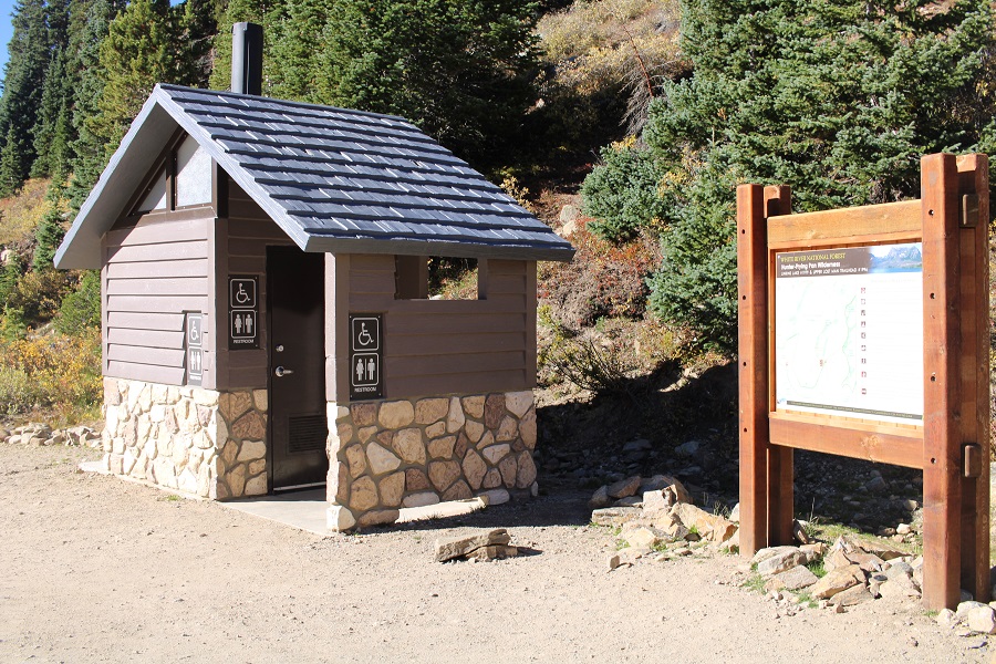
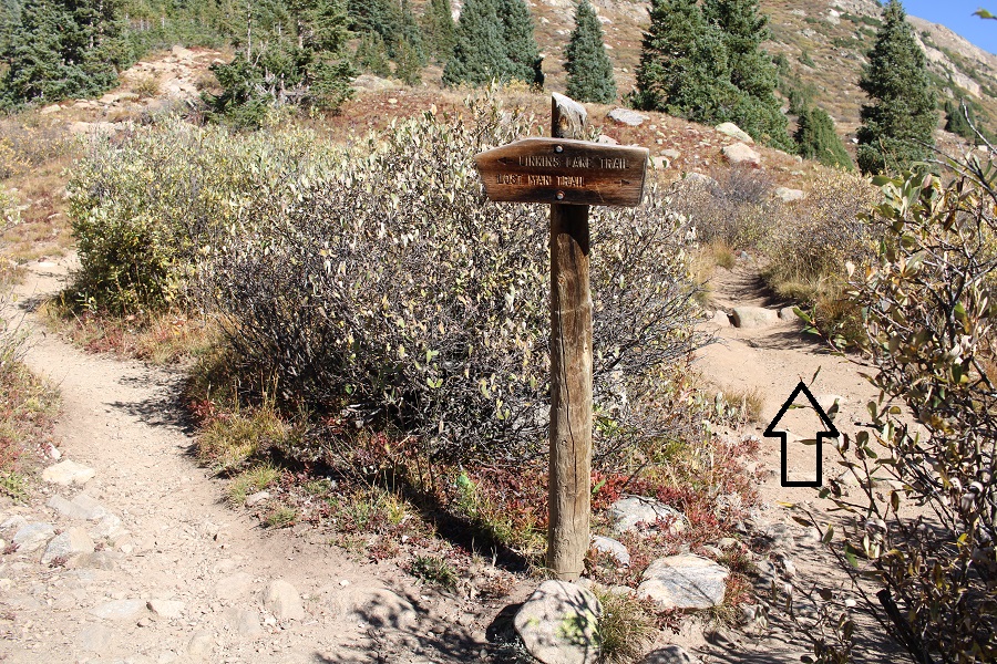
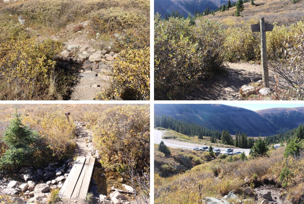
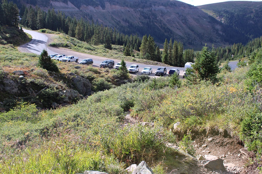
I drove up from my camping spot to the Independence Lake trailhead that morning, and was on the trail at 5am.  The trailhead has plenty of parking, and even a bathroom, but parking spots fill up fast.  The trailhead is obvious, and starts at the north end of the parking area. 

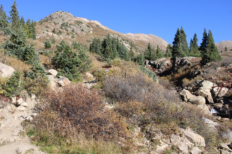
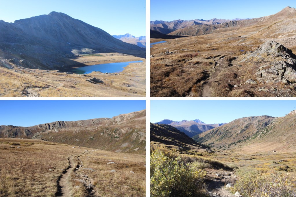
I quickly came to a junction and headed towards Lost Man Lake

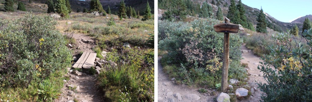
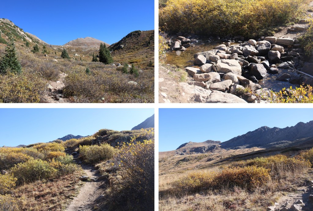
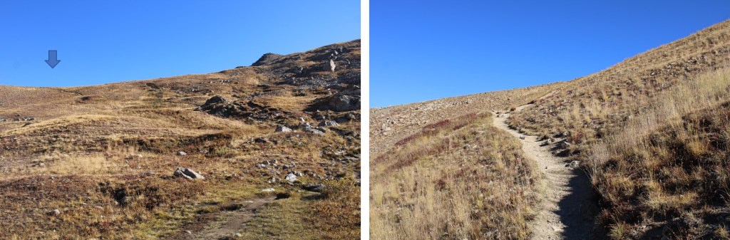
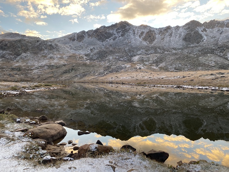
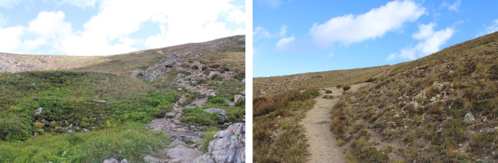
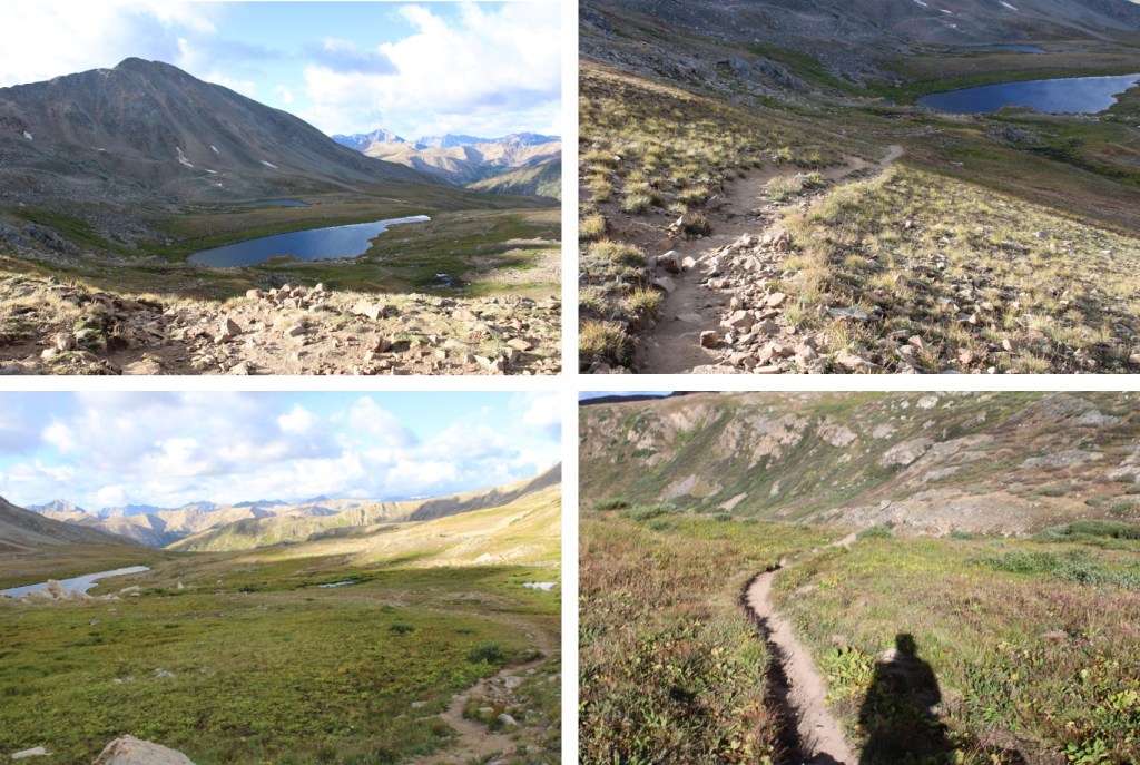
I followed this class 1 trail to Independence Lake, crossing over Roaring Fork River on a nice placing of rocks

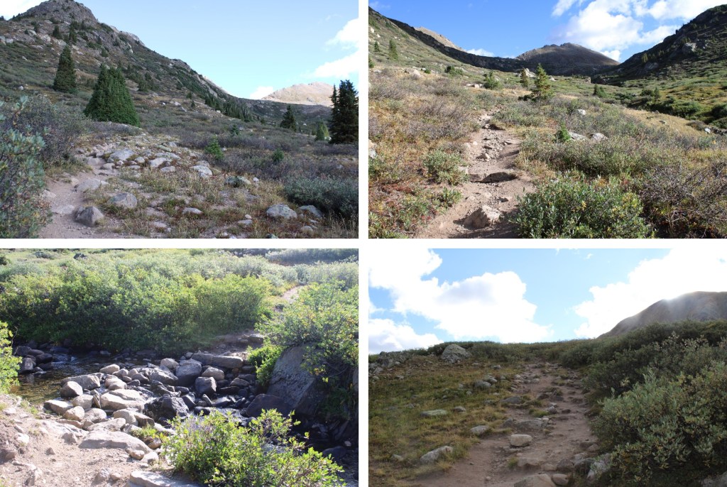
Then continued following the trail to the saddle

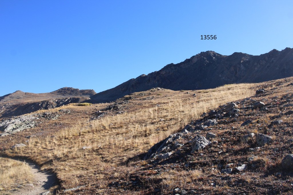
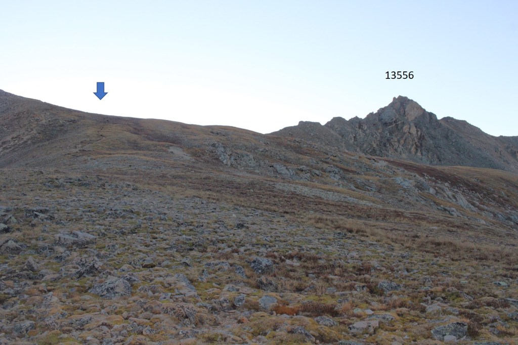
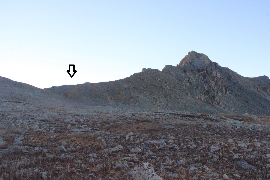
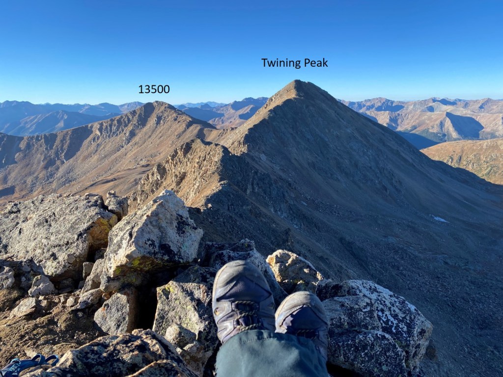
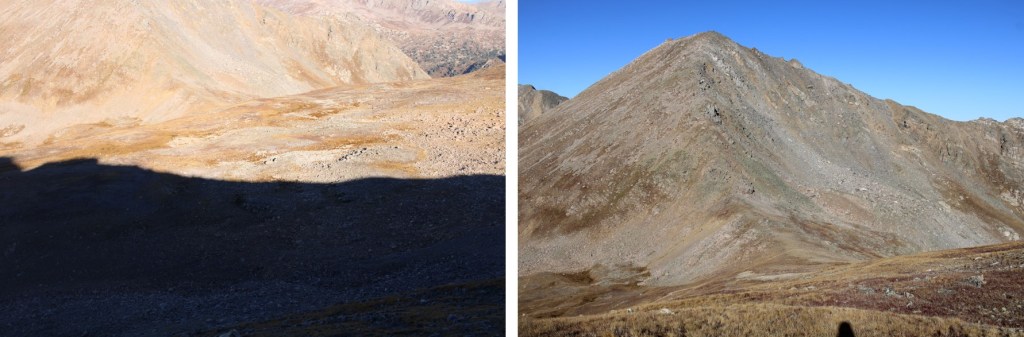
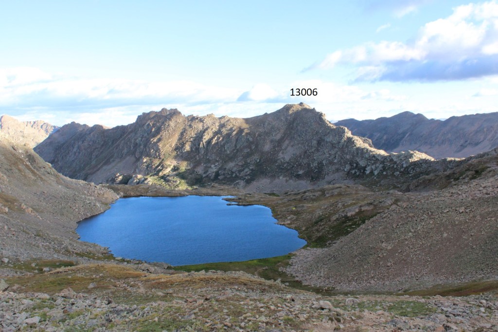
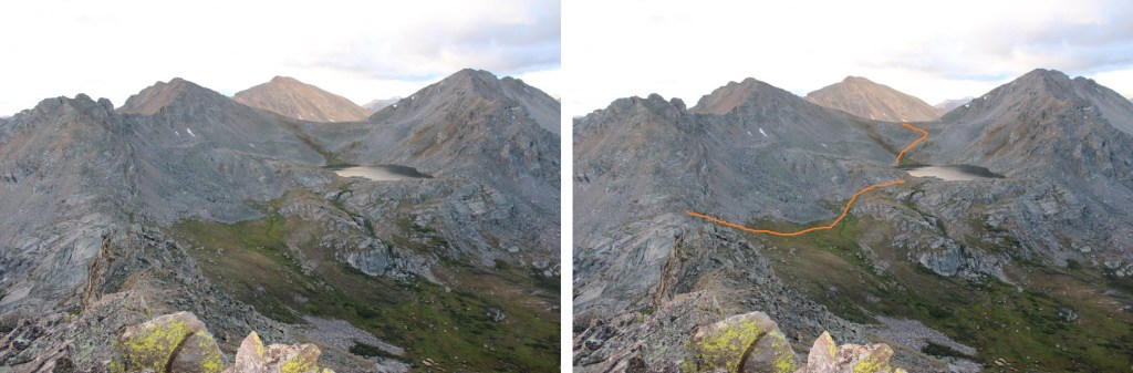
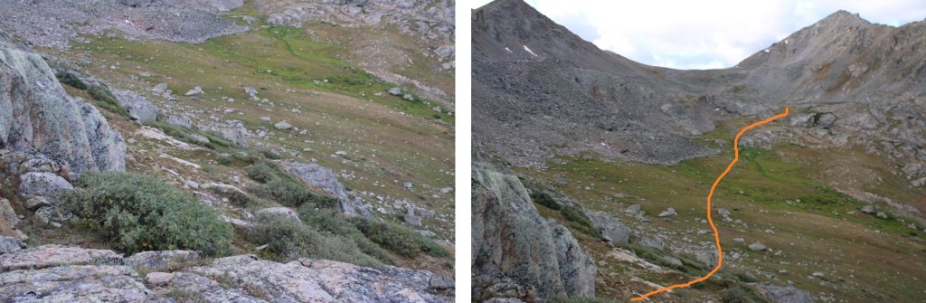
It was about 2.5 miles to the saddle. From here, I could see PT 13006.  I lost 472’ of elevation as I descended towards (and past) Lost Man Lake. This remained a class 1 trail.

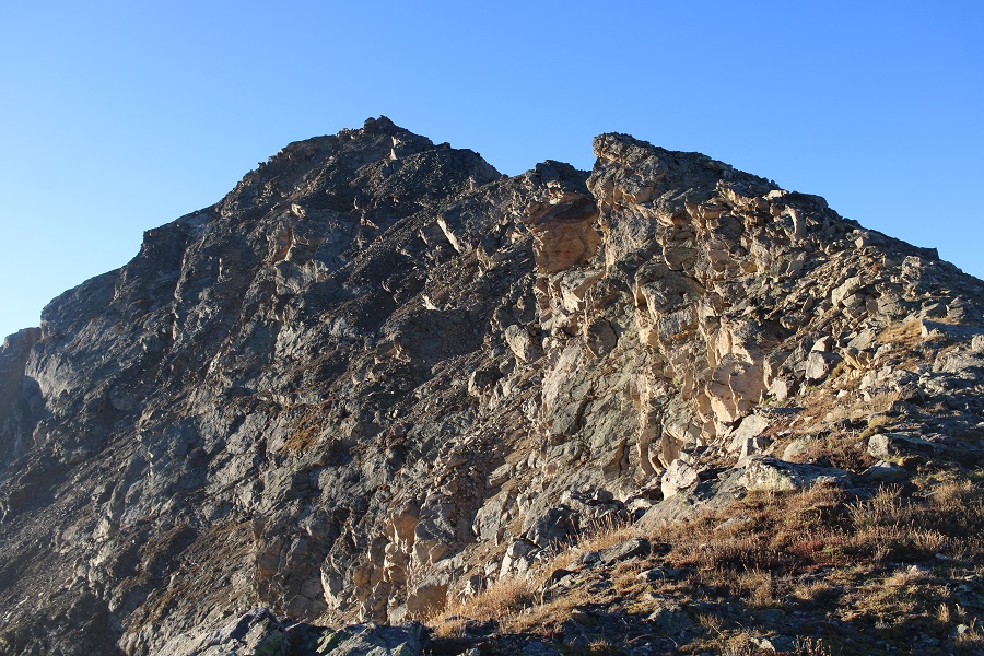
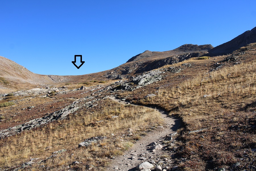
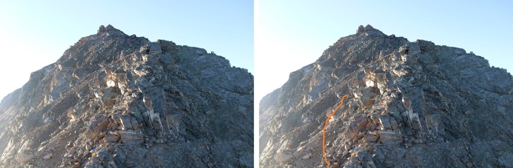
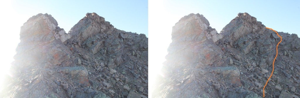
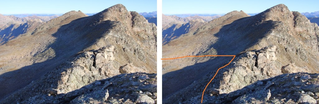
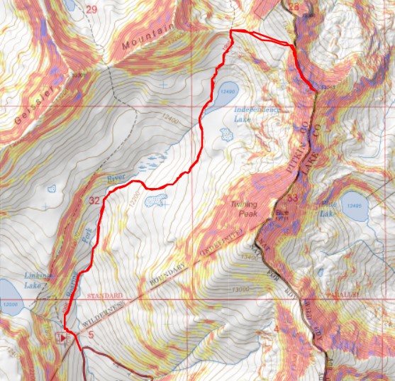
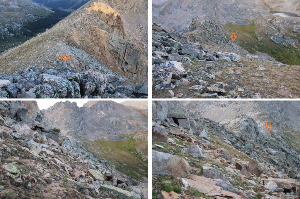
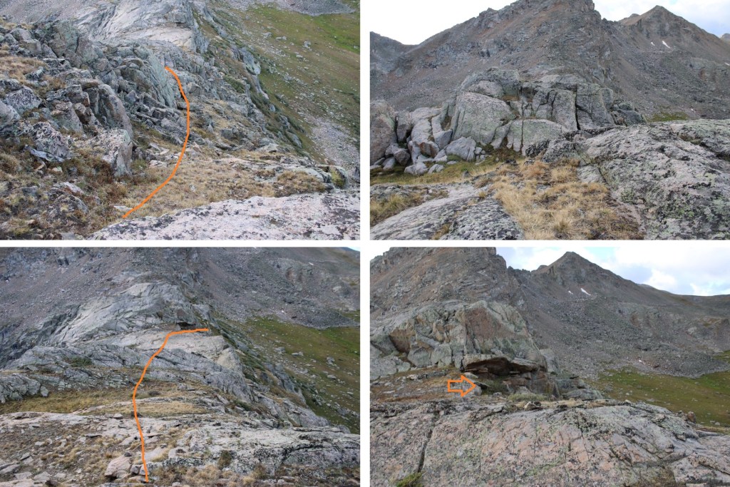
At about 12320 feet of elevation, I left the trail and headed towards the ridge.  This is the overall route I took to the summit of 13006.

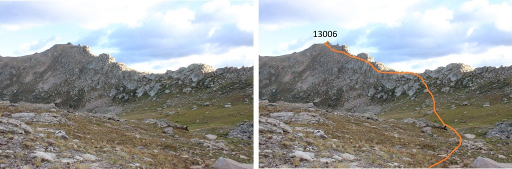
First, to gain the ridge.  The willows were avoidable.

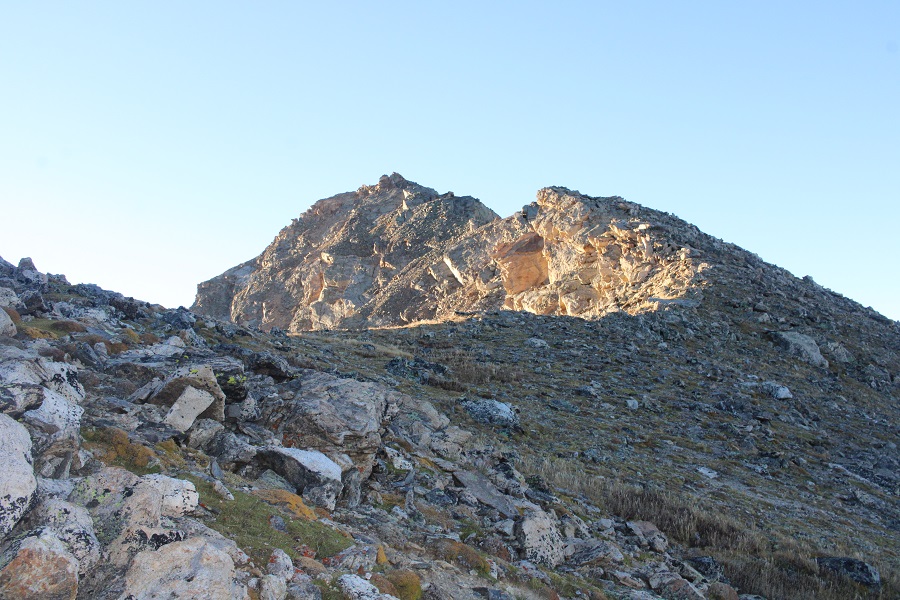
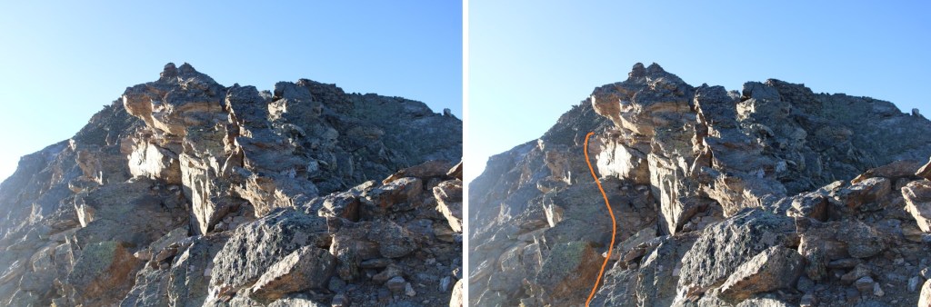
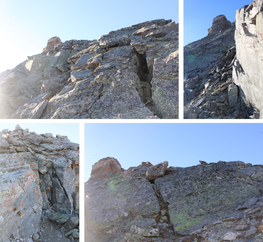
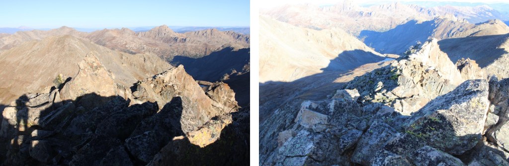
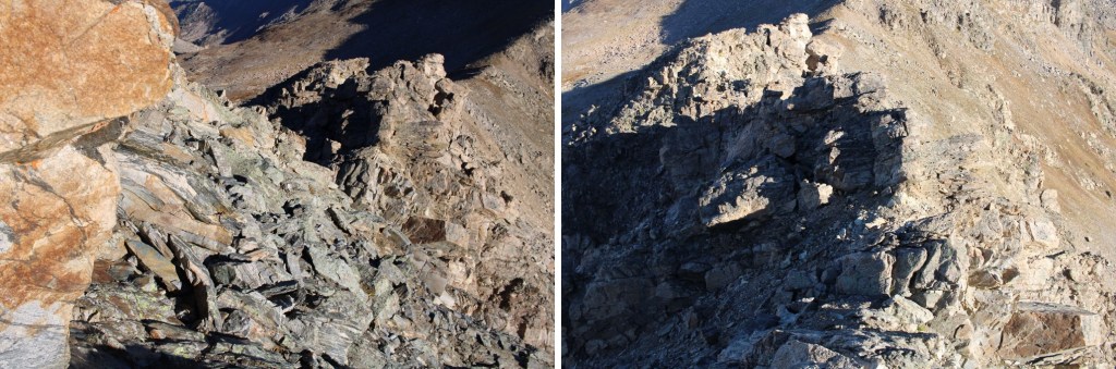
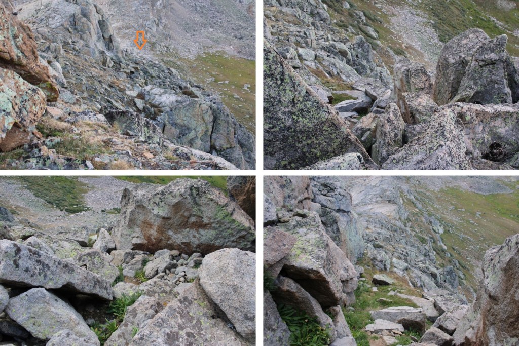
Once on the ridge, I turned left, and crossed a few rock slabs.  They were class 2, but now is a good time to put on your helmet.

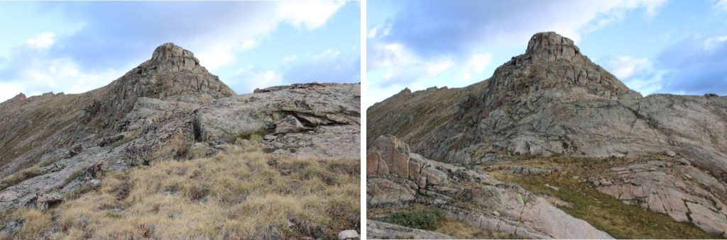
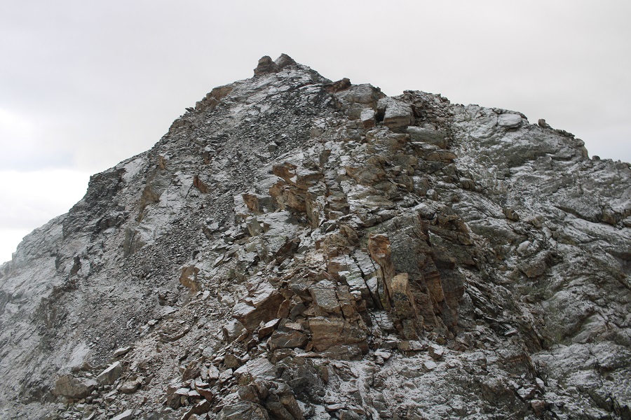
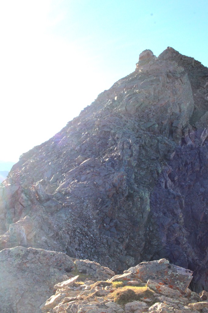
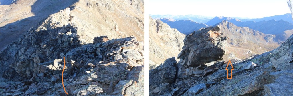
From here on out, I stayed to the left of the ridge.  My first objective was to make it here.

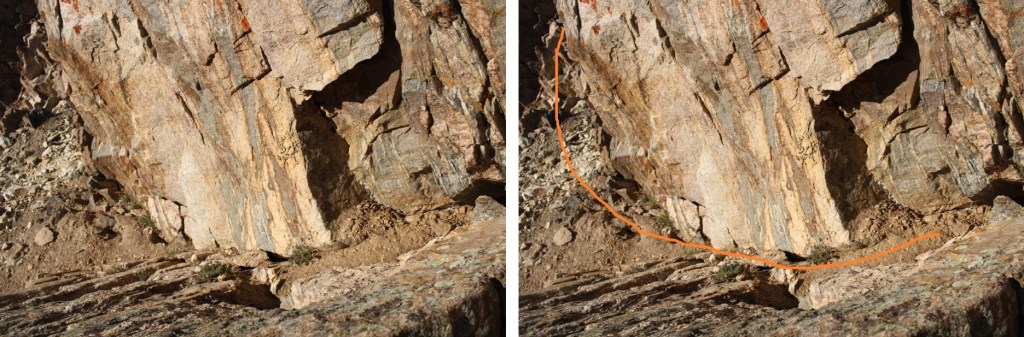
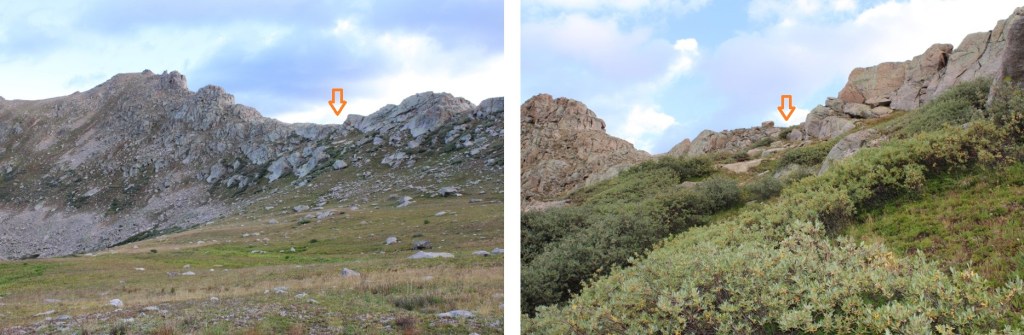
I rounded the rock formation to the left

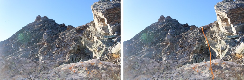
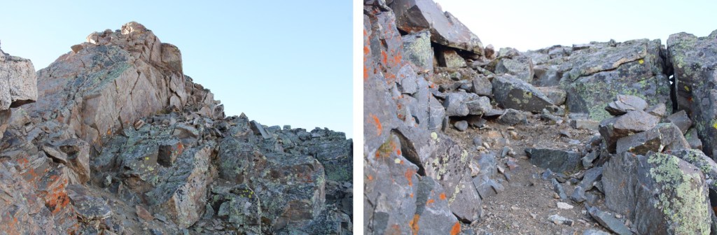
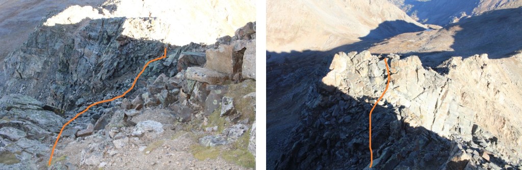
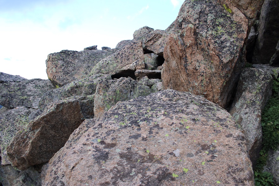
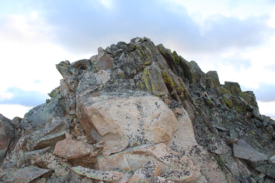
This brought me to some large boulders I had to climb.  This was the ‘crux’ of the climb.  The boulders are fairly stable, but far apart.  I rock-hopped up and across them.

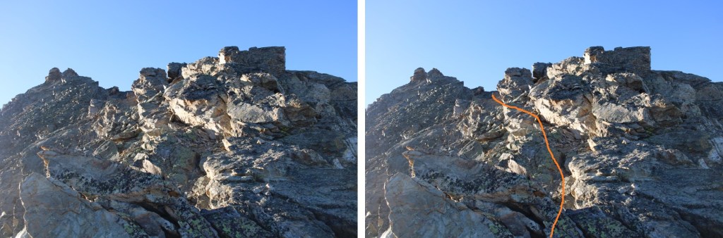
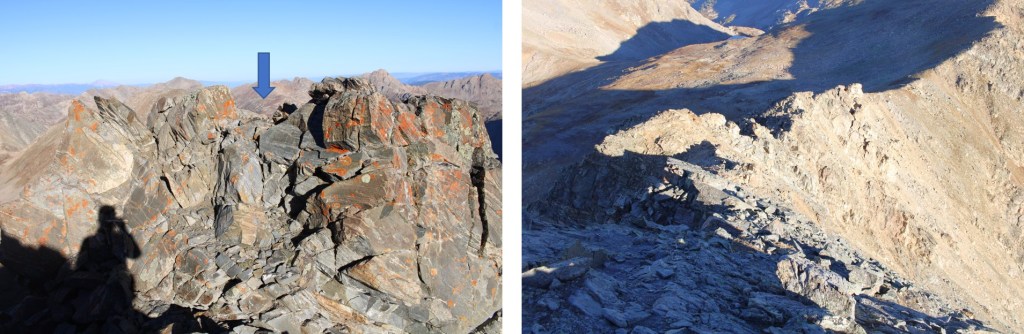
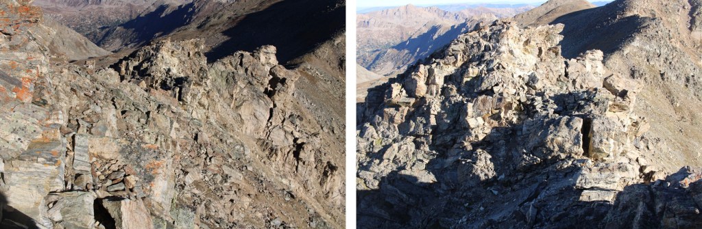
The rest of the hike to the base of the summit was class 2 on tundra.  I kept to the left of the ridge, following grassy slopes.

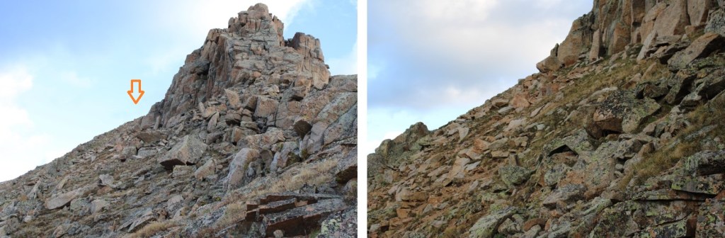
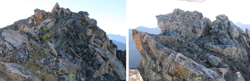
At the base of the summit block, I had about 20 feet of solid class 3 scrambling to do to make it to the summit. 

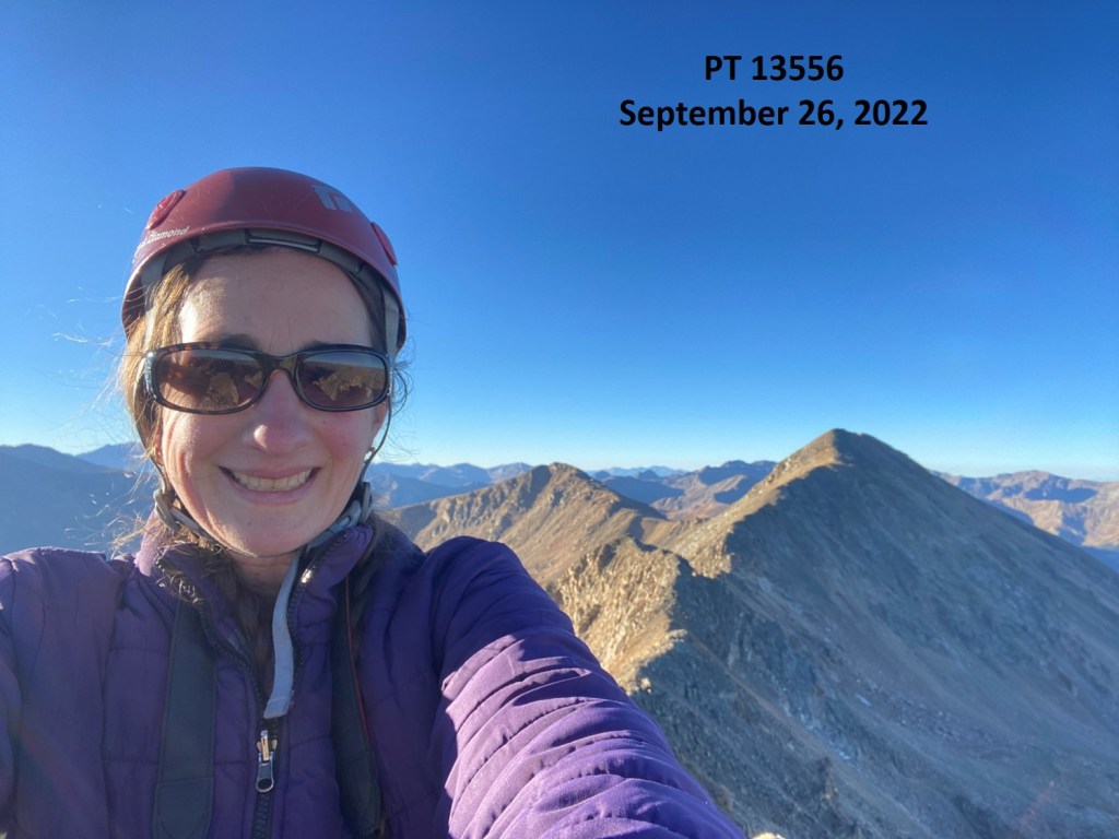
I summited PT 13006 at 7am
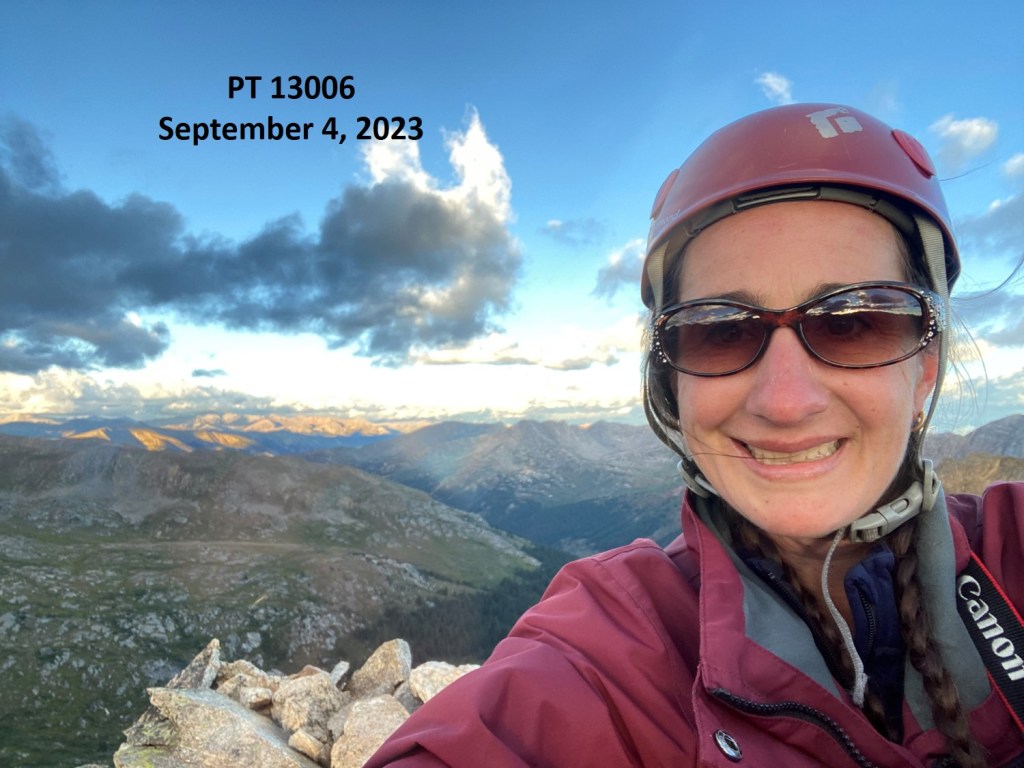
PT 13006:

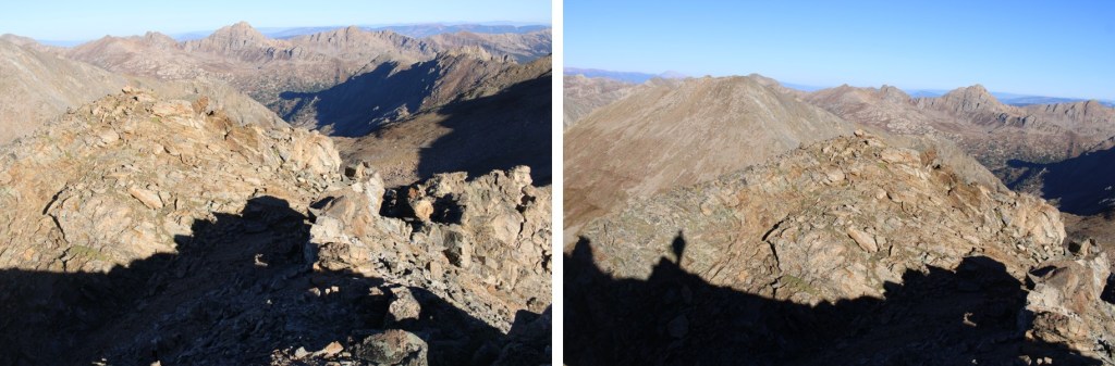
Here’s looking back at the route from the saddle.  This is Lost Man Lake

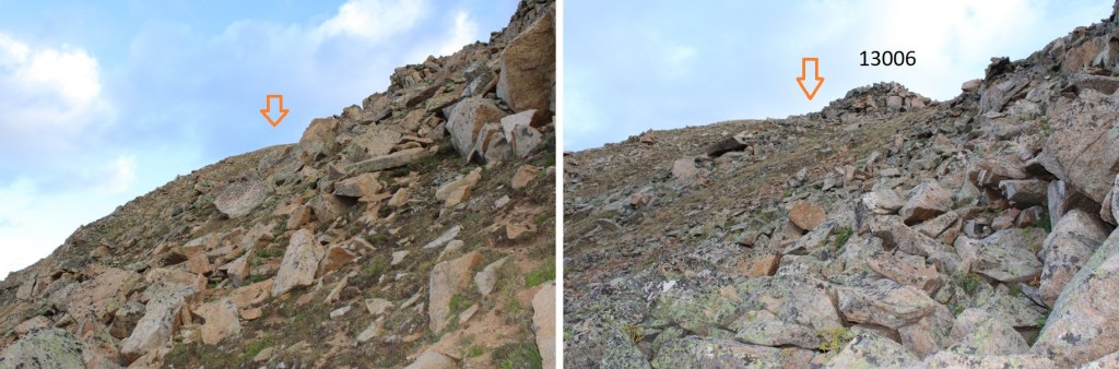
This was an out and back hike, so I descended the same way I ascended.  Here are some pictures as I made my way back down the ridge

Then it was back down to the trail

I followed the trail as it skirted Lost Man Lake and climbed it’s way to the saddle

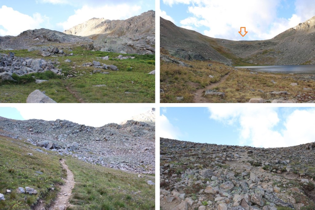
Then continued following it past Independence Lake, all the way back to the trailhead.

I made it back to the trailhead at 9am, making this a 7.95 mile hike with 2429’ of elevation gain in 4 hours.

On to the next trailhead!

PT 13556

RT Length:  6.51 miles

Elevation Gain:  2015’

This was my second attempt at this peak.  On the first attempt, there was unexpected snow the night before, and I deemed the class 3 section too difficult with a dusting of snow and rocks covered in a thin layer of ice. 

So, I came back a week later, after the snow had melted out, and tried again.  I started at 6am from the Linkins Lake and Upper Lost Man Trailhead.

I followed the class 1 trail north, following Trail #1996, Lost Man Trail

Here’s a glimpse of PT 13556

To get there, I’d first have to pass Independence Lake, and make it to the pass, which was about 2.5 miles from the trailhead

Once at the pass, I turned right and followed a faint trail east that eventually petered out.  I was headed for the ridge.

I ascended the ridge, then turned right and followed it southeast towards the summit. Initially, the terrain started out as class 2 and I just followed the ridge

But pretty quickly I was in class 3 territory.  Most of the ridge goes at sustained class 3, with a lot of fun scrambling.  Here’s the route I took.  I initially dipped down a bit, finding a navigable hole in the ridge to pass

Next, I dropped down a few feet, and continued following the ridge

Now for the fun scrambling.  This is choose your own adventure, but this is the route I took

Eventually the ridge ran out, and I had to go to the right

Then it was an easy scramble to the summit

PT 13556:

PT 13556:

From the summit, I had great views of Twining Peak and 13500 to the south

Now for the route back down.  I just retraced my steps, but it looks a lot different heading back than it did going in.

Now back on the class 2 section of the ridge, I took it back to the saddle

Then I turned left onto trail 1996, and followed it south back to the trailhead

I made it back to my truck at 8:45am, making this a 6.51 mile hike with 2015’ of elevation gain in 3 hours, 45 minutes. 

While it had been beautiful being there with a dusting of snow last time, I was glad I’d turned around, as I now realized the scrambling on ice would have been dangerous:  There just hadn’t been enough snow to provide traction, and the ice had been slippery.

As an added bonus, this time I got to drive home while enjoying the fall colors

On to the next trailhead!