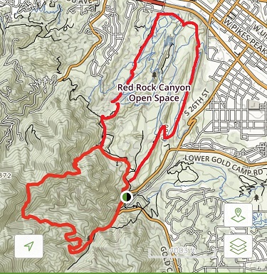
RT Length: 4.5 miles
Elevation Gain: 1742’
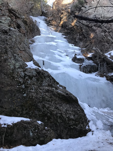
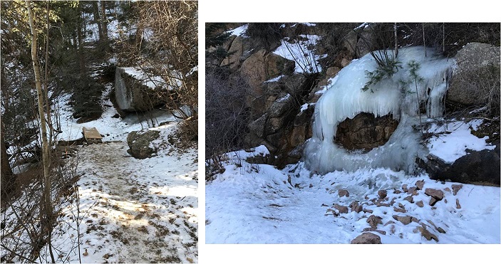
It was COLD when we woke up this morning, but thankfully, the heater did it’s job.

However, unlike yesterday when I woke up and got up with my alarm, today I decided I needed another hour of sleep. So we didn’t make it to the trailhead until much later than we’d wanted (we got the last spot in the parking lot).
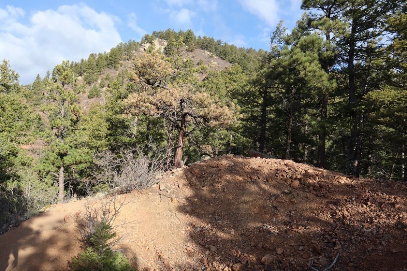
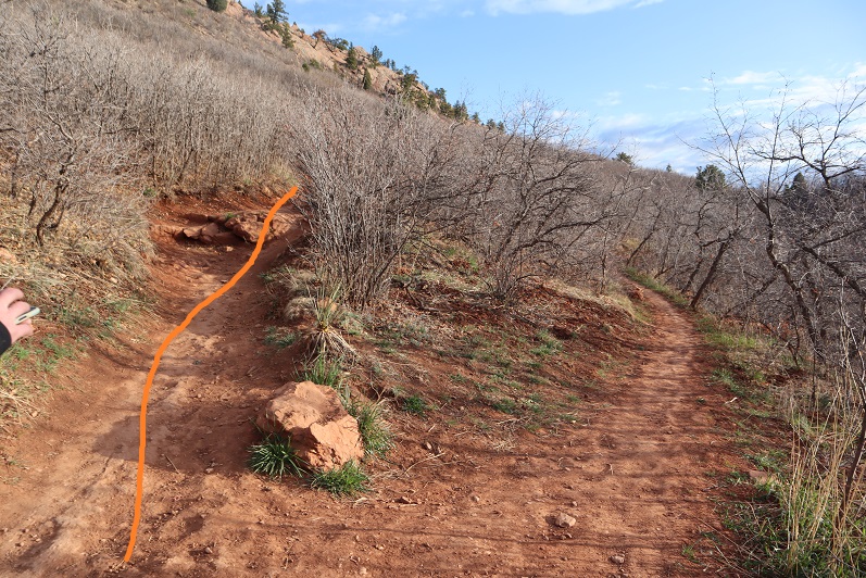
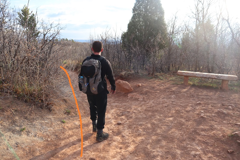
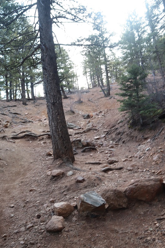
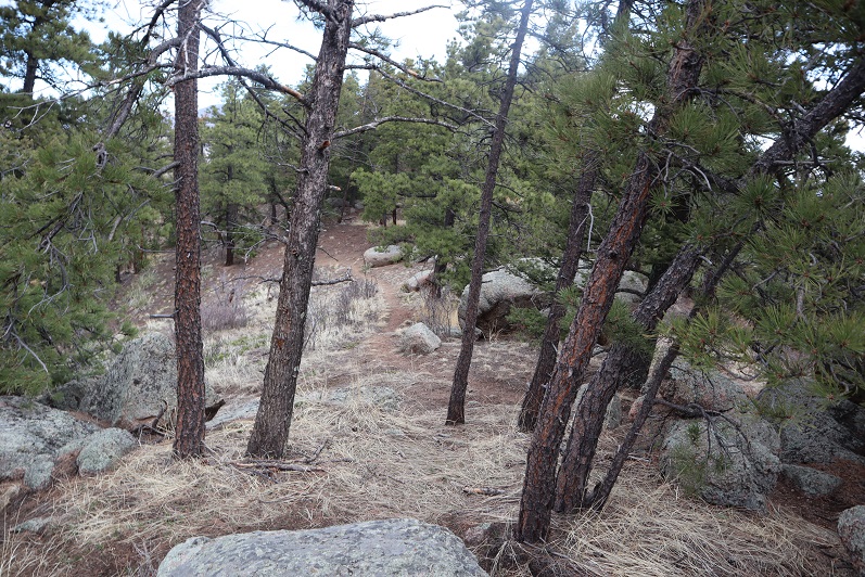
The trail was well marked and easy to follow. Every time there was an option (junction) we turned left, following the mountain and heading up.
We even encountered some nuns. At first I thought they were hikers dressed as the grim reaper (hey, it’s been going on with this whole Coronavirus thing). They told us to have a blessed day.

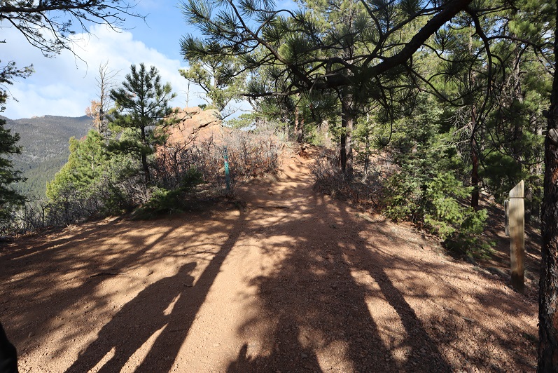
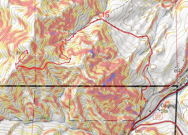
You hit a kind of saddle after 1.6 miles. Here’s a basic overview of the rest of the route
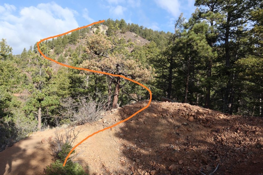
The tricky part is knowing when to veer off trail. After hiking for 2.1 miles along this trail you turn right and bushwhack northeast up the mountain, or use one of the several of available game trails. All are equally steep. We took a different one up and back so we’d have a couple of good gpx routes.
At the top you’ll come to a boulder, and yes, this boulder is the highpoint.
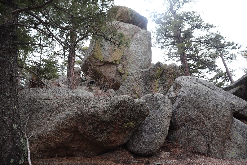
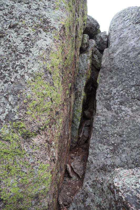
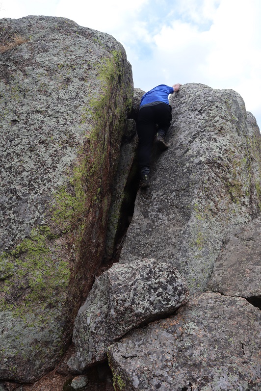
There’s a class 4 chimney you need to climb to get to the top (towards the left… the boulder on the right isn’t the summit).

Some people might consider this class 3, but to anyone under 6 feet I can assure you, it’s class 4 and requires commitment.
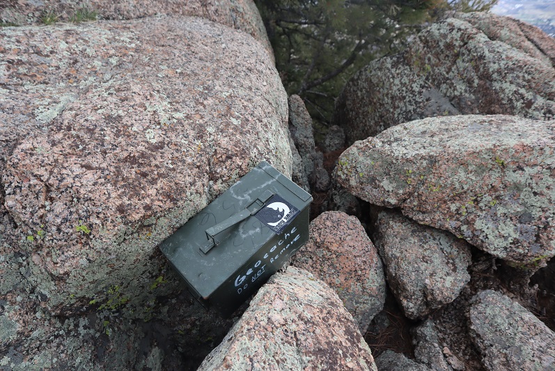
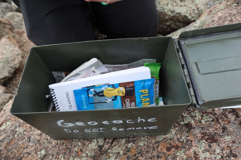
There was a summit register at the top with tons of cool stuff inside.
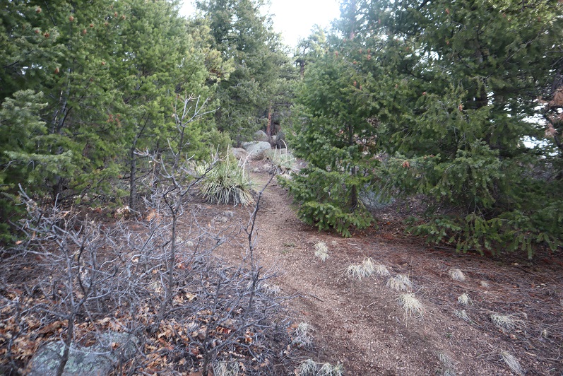
We headed back down a slightly different way to the main trail
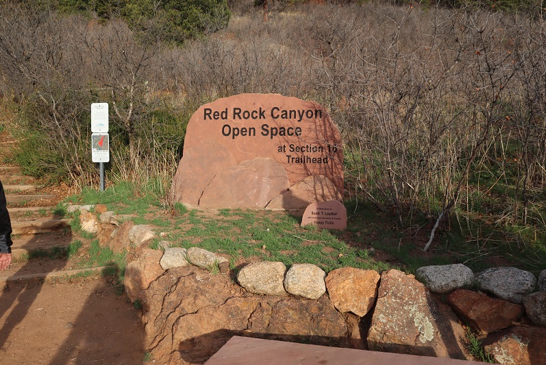
And easily followed it back to the section 16 trailhead

Note: the elevation gain was constant and more difficult than anticipated, especially for such a short hike. Here’s my topo of the route:
Now, on to the next trailhead!