RT Length: 10.5 miles
Elevation Gain: 4712’
Time: 6 hours 15 min
Partner: Steffen
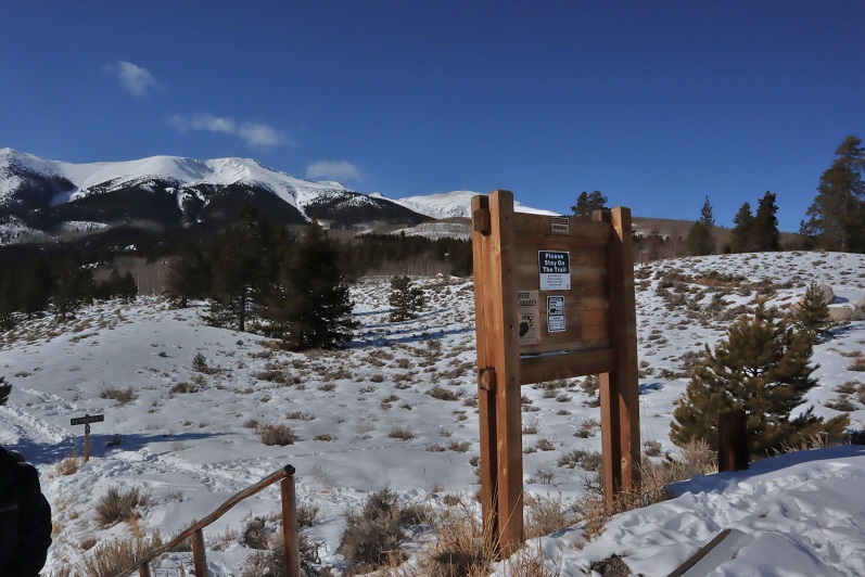
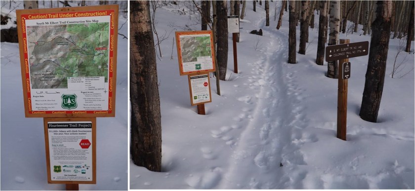
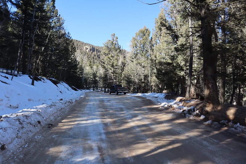
With the weather iffy in the high country I decided to tackle one of my 2020 goals early: climb 3 El Paso County Highpoints. Steffen is training to hike 14ers this year so I invited him to go along. Before heading out I used Caltopo to make a route of the drive in, not being sure just how Old Stage Road would look this time of year. It ended up being almost completely clear of snow. I parked near the stables.
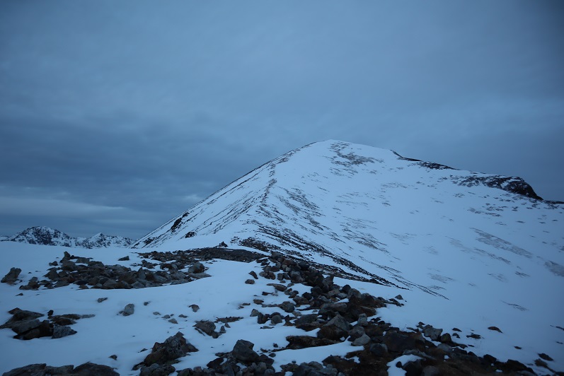
Cheyenne Mountain 9565’:
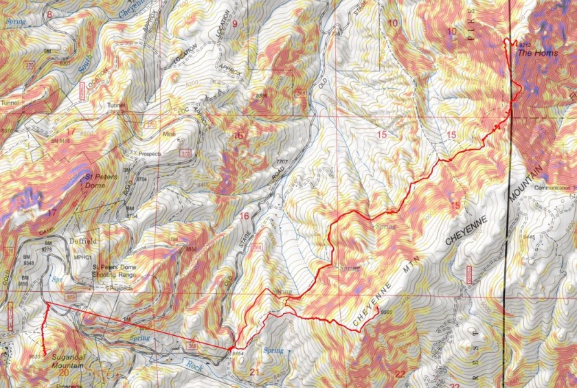
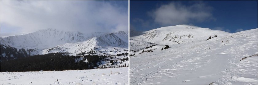
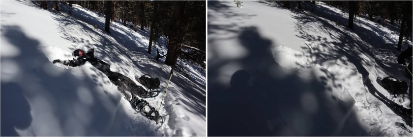
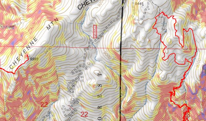
Just to clarify, we summited the highpoint of Cheyenne Mountain. There have been articles written and news posts stating the Dixon Trail goes to the top of Cheyenne Mountain: It doesn’t. The Dixon Trail goes through Cheyenne Mountain State Park and up the side of the east side of the Cheyenne Mountain range near the communication towers, but it doesn’t summit anything, and in fact if you were to go off trail and scramble to the top of Robbers Roost you’d still be over 100 feet shy and about a mile of bushwhacking away from the true summit of Cheyenne Mountain. Here’s topo proof: On the left is the true summit of Cheyenne Mountain, and on the right is where the Dixon Trail takes you.
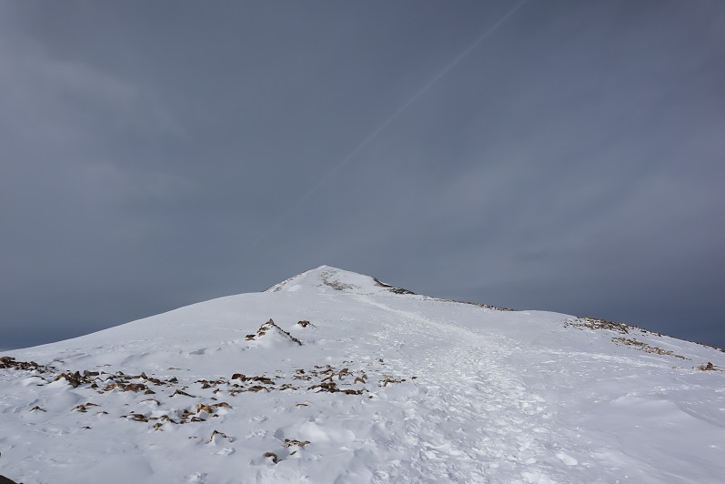
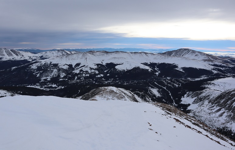
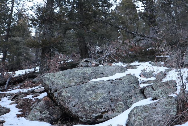
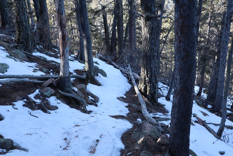
In any event, at 6:30am it was 14 degrees outside when we donned our gear (microspikes) and headed east over a snow bank and up the mountainside, dipping about 200 feet before starting the ascent.
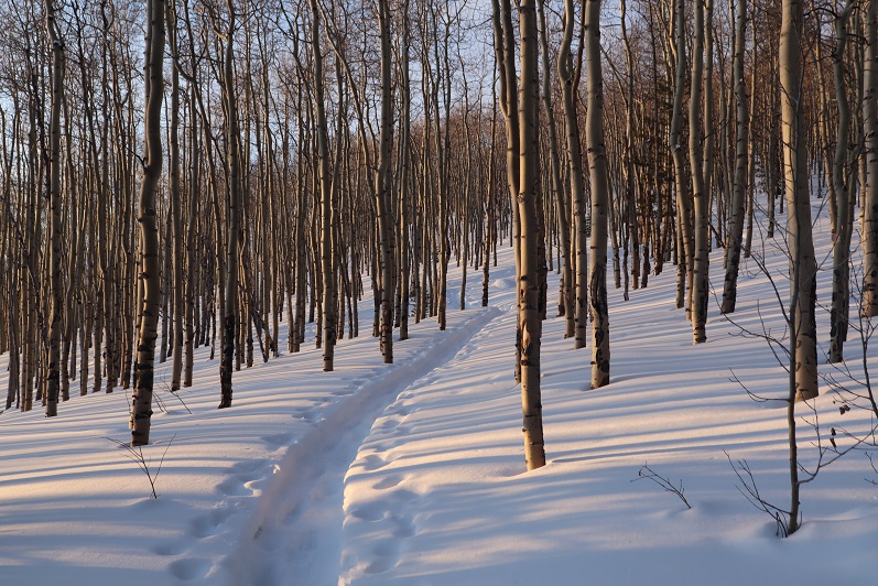
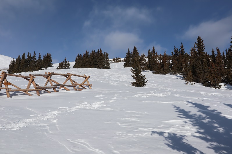
This hike was entirely below treeline with no distinct trail so we just aimed for the ridge and ascended the mountain on its west side. The ground had many dry spots but we tried to stick to the snow as much as possible so we’d see our footprints upon our return.
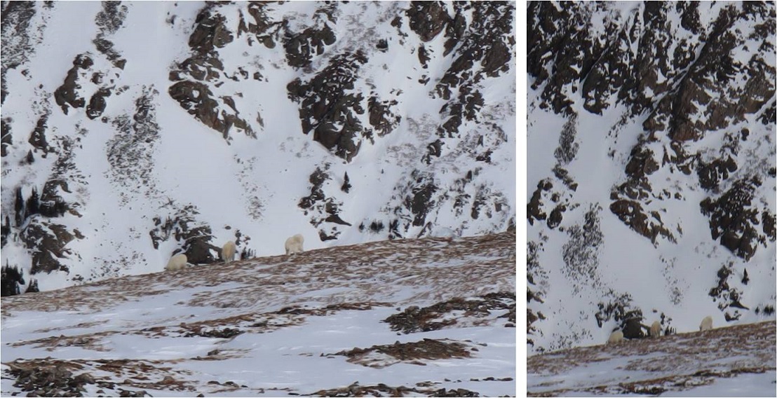
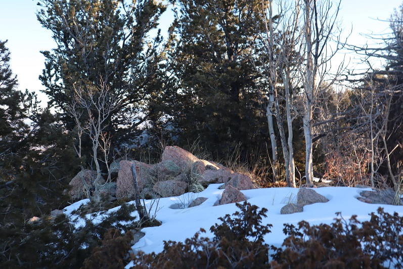
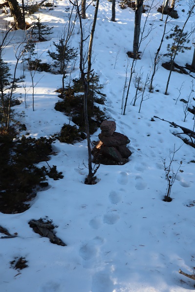
About three quarters of the way up the mountain we started running into cairns and surveyors tape, which was a nice surprise (until they stopped). We also found some bear scat that looked to be from last fall. This seemed a good area to find a bear.
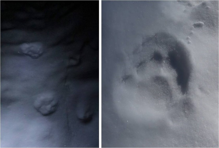
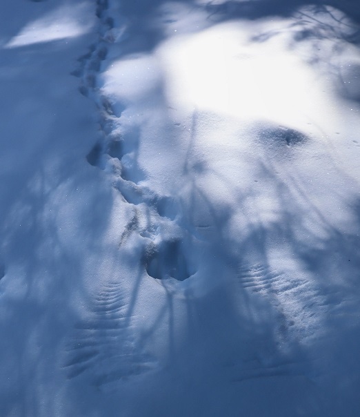
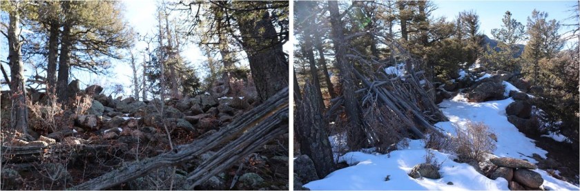
Once on the ridge we came across some mountain lion tracks that looked to be a few days old. This area also seemed like a good place for a mountain lion to den, with a lot of large rocks and boulders to hide in. We followed the ridge left (north) to the summit.
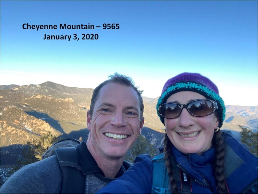
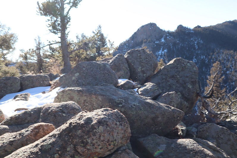
Once at the summit we found a summit marker! This was cool because it was totally unexpected.

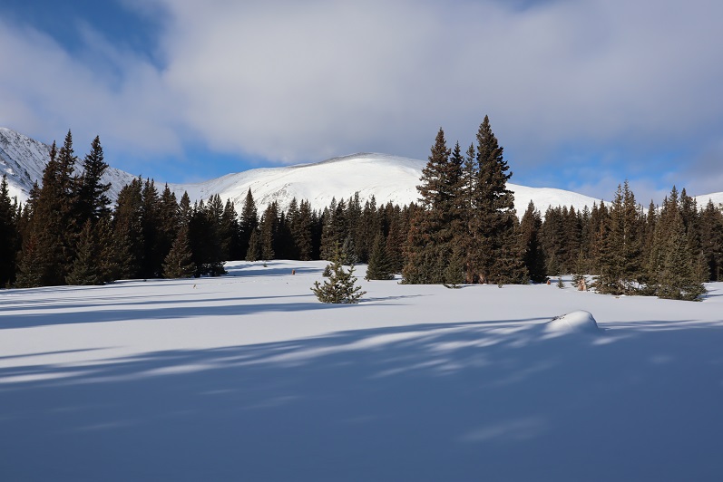
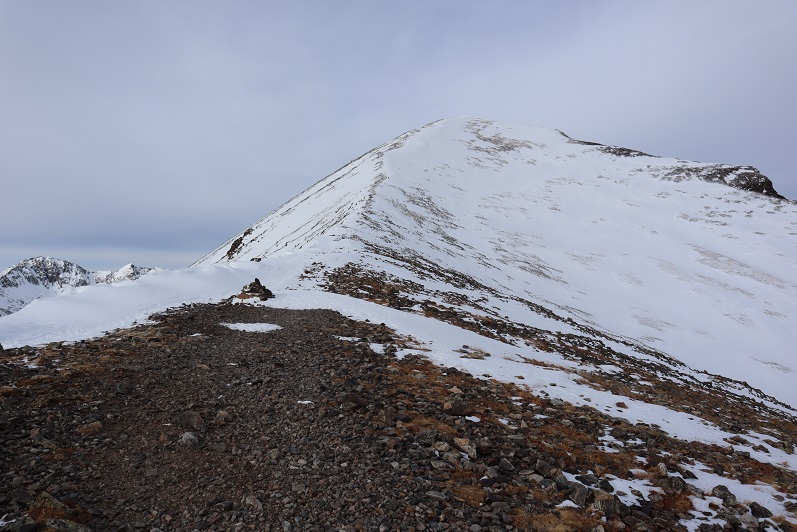
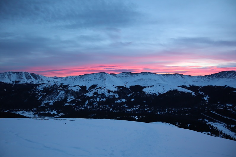
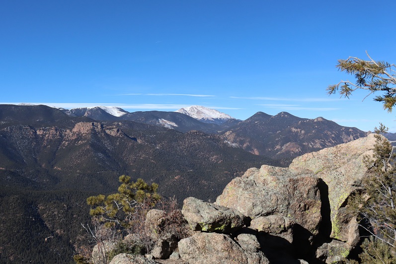
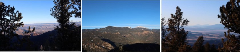
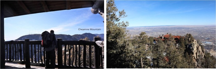
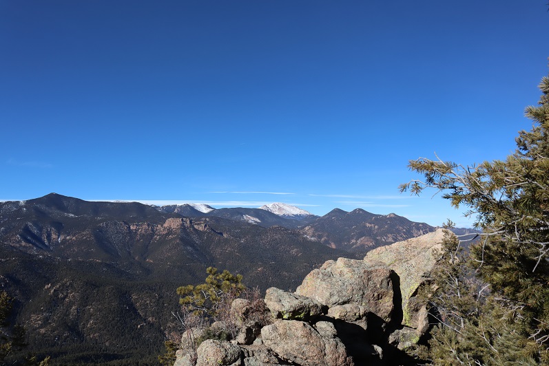
Our summit views included Colorado Springs, Almagre with Pikes Peak, and The Spanish Peaks
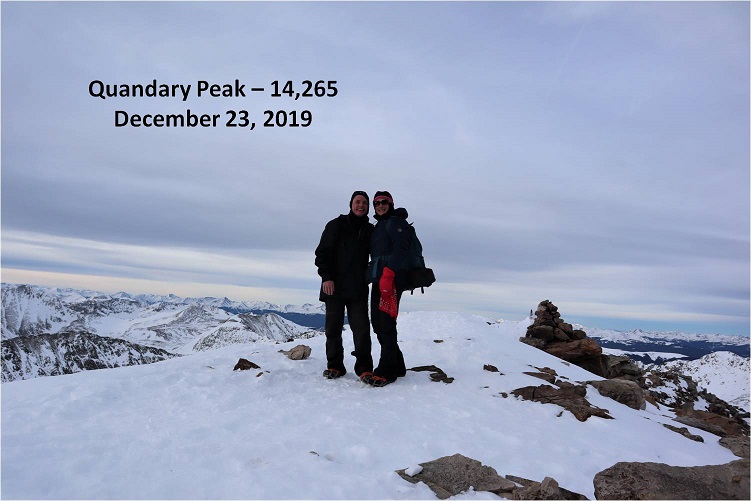
Summit Picture
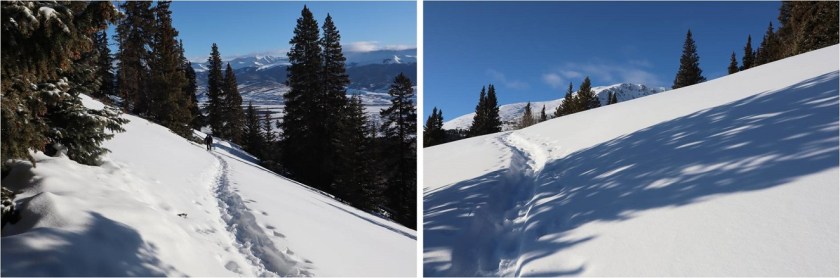
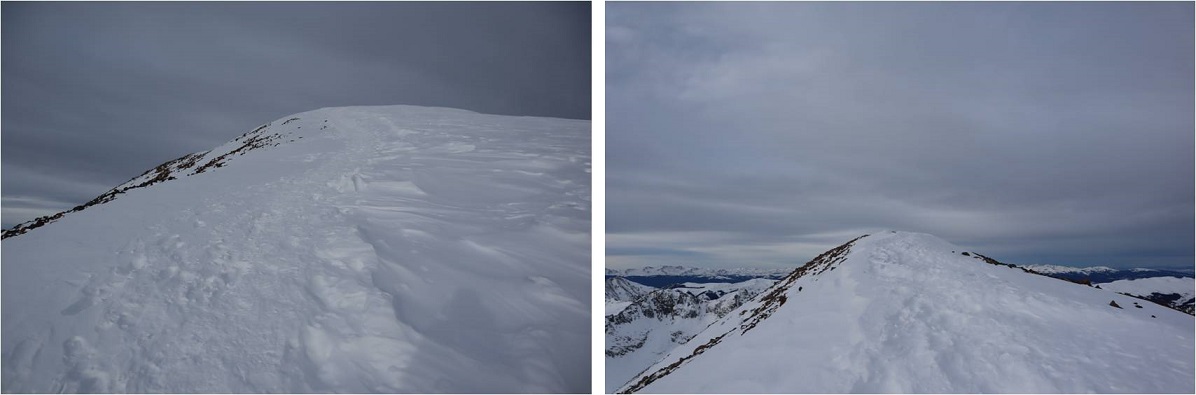
There was about 6 inches of snow on the ground towards the top so we followed our tracks back down the ridge
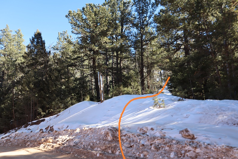
Cheyenne Mountain wasn’t our only goal for today, and after looking at a topo map we didn’t want to re-ascend the hill that led back to the parking area. We decided to traverse the north side of the mountain instead. There was more snow on the north side and we were frequently knee deep in powder
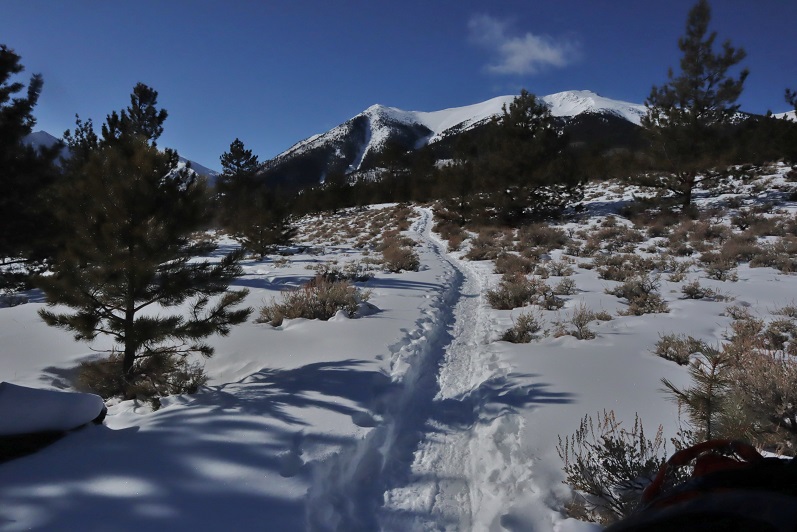
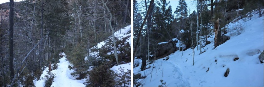
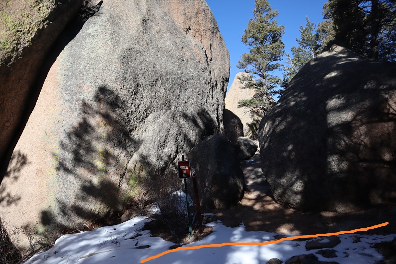
But after just a few minutes we came across the MacNeill trail, and check it out: it had tracks!
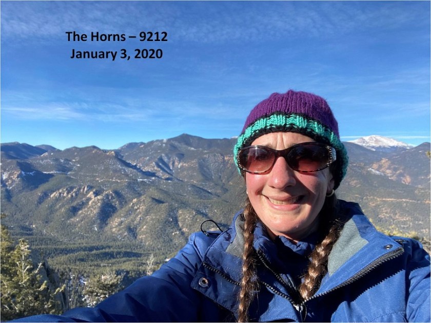
The Horns 9212’:
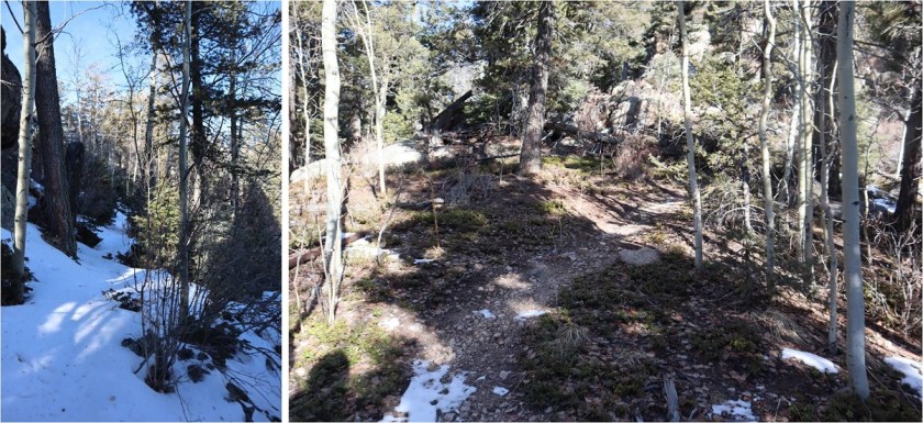
This was awesome! We just followed the class 1 trail as it curved northeast around the mountainside
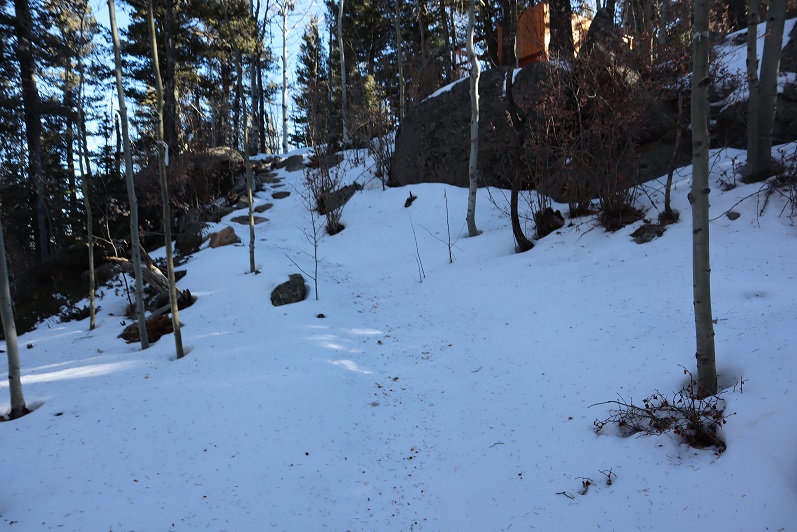
It can be tempting at times to veer off trail, so be sure to stick to the side of the mountain. There were downed trees everywhere. There is also a lot of up and down, meaning you’ll gain elevation on the way out as well.
We came across an old water pump and frozen waterfall/stream
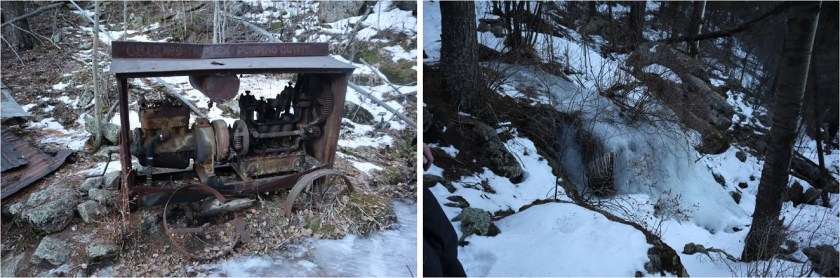
There were broken pipes littering the trail from here just about up to the summit, as well as varying depths of snow. We kept our microspikes on.
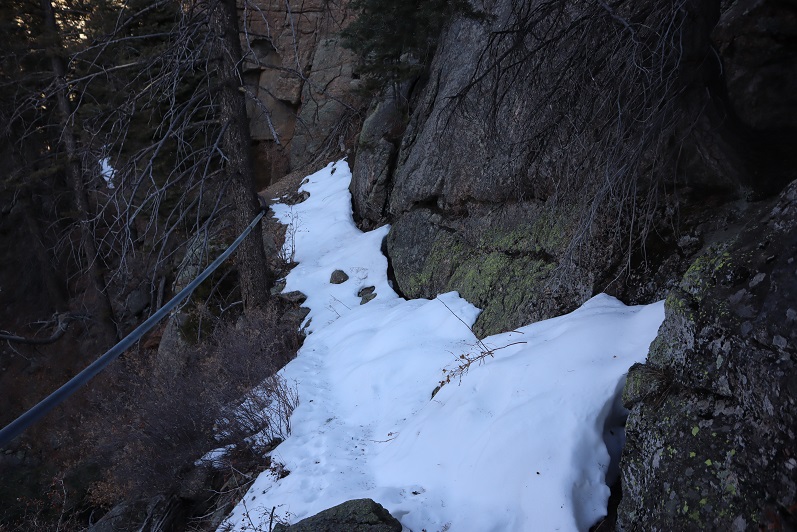
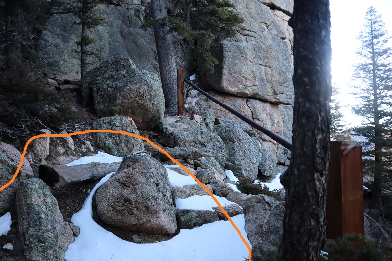
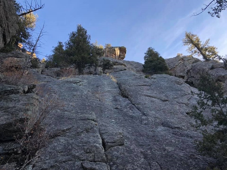
We made it to the top of the ridge and now lost elevation as the trail continued on the east side of the mountain and then snaked back to the west side. Here’s where the tracks ended, but luckily the trail was still easy to follow. There was more snow on the east side.
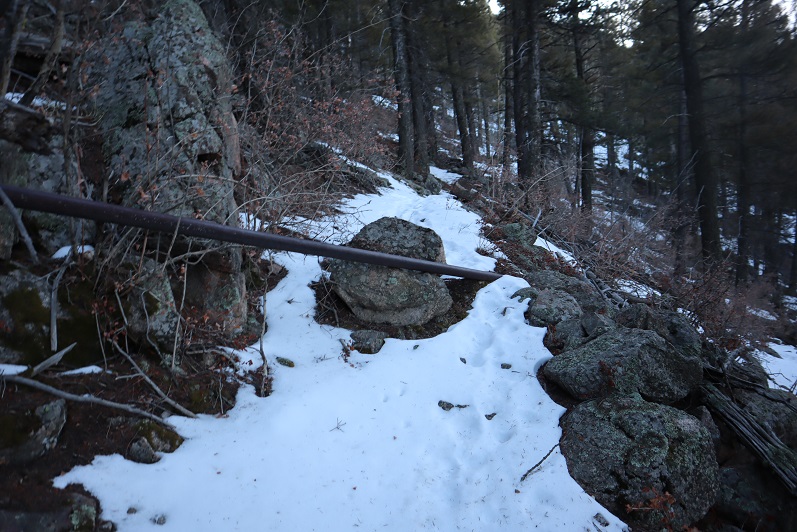
The trail snaked back around to the left (west side) and into an area filled with boulders. There was one spot that was tricky to pass due to the snow, but with the help of microspikes and trekking poles it wasn’t too bad. I didn’t touch the pipe.
We continued on the trail as it once again curved east around the mountainside

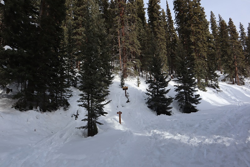
And came across a trail sign
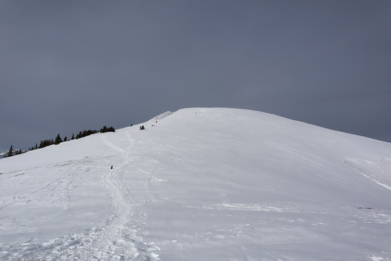
We followed the trail towards what looked most likely to be the summit on top of a rocky area
We came across cabins, which I wasn’t prepared for. There wasn’t a camp on my topo map (Pikes Peak Atlas). It didn’t look like anyone was at camp today so we continued on towards the highest point, which seemed to be up these stairs
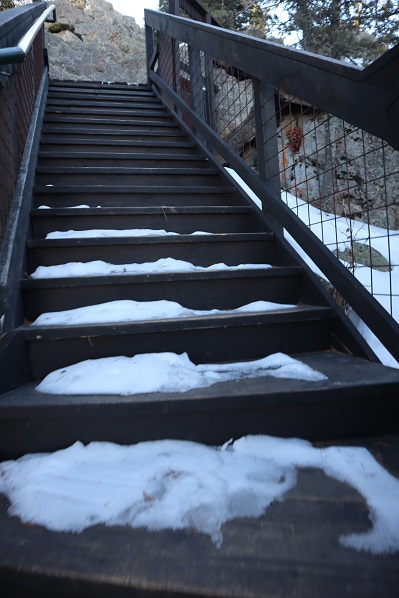
At the top of the stairs was a large boulder and what looked to be a fire tower.
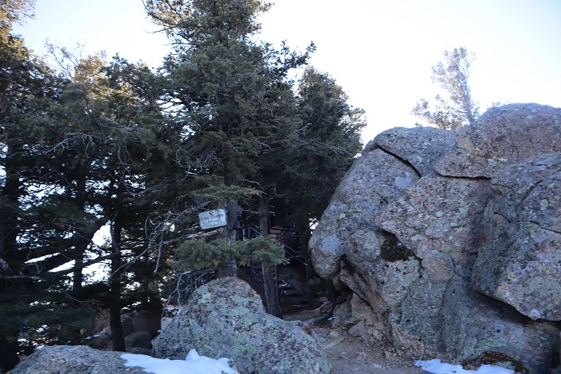
We climbed the boulder carefully (class 3) and looked around. It seemed this was the summit, so we took a few pictures. There was a puddle of ice over what we assumed was the summit marker (if there was one?)

As we looked around it was unclear if we were at the true summit or if the rock about 15 meet away but near the cabin was the true summit, so we downclimbed and walked up the stairs of the fire tower. This was referred to as “The Horns” so it made sense there were two rocks.

The points looked to be about even, with the one on the north maybe just a little higher? It was here we noticed the security cameras. There were many and although we weren’t doing anything wrong we decided to leave. From the tower we could tell this place was bigger than we’d thought (later we realized this is “Cloud Camp” owned by the Broadmoor).
Time to head back down. The boulders here really look fun to climb/rappel.
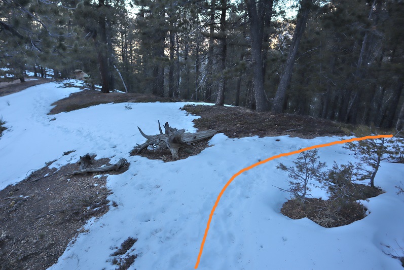
We hiked along the MacNeill trail for a little ways and suddenly came across a small wooden gate in the middle of the trail. Why hadn’t we seen this before? We walked around a bit and realized the gate had a sign that said “Trail Closed”
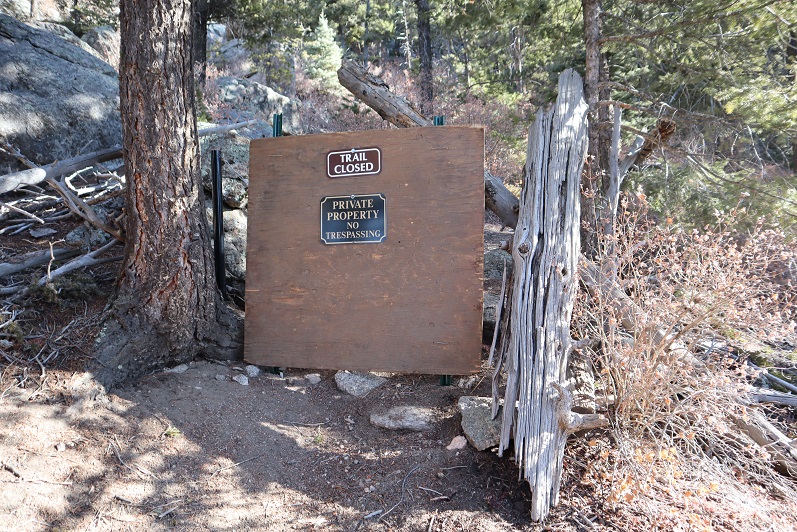
Whoops! Due to the switchbacks and amount of snow we’d never even seen the sign! Check this out: this is the way we hiked in, and the red circle is where the sign is located
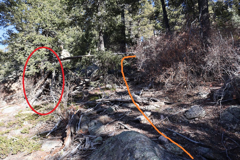
As you can see, from the trail going to the summit the gate closure isn’t obvious, but on the way back down or from a different angle you can see it perfectly. In fact, you run into it.
I’m not sure about the legalities here, but it seems they don’t want the public highpointing on their property. They need to work on the placement of their signage if this is the case. This was the only sign we saw.
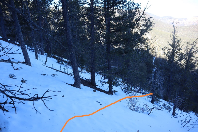
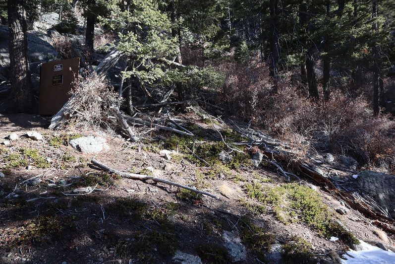
We continued to head back down and got a good glimpse of the fire tower (a fire tower wasn’t on my topo either?)
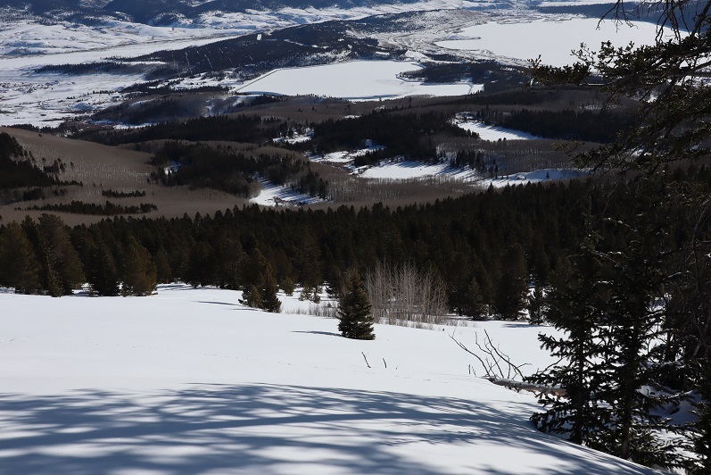
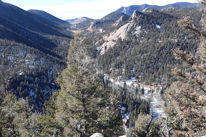
There was also a good view of our way in/back out

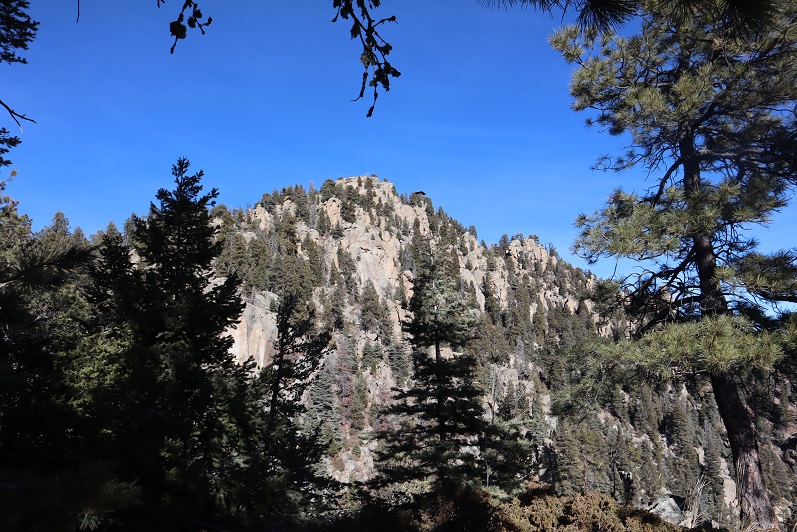
And of Pikes Peak (etc). I had fun naming all of the summits from here…
On the way back we decided to follow the footprints on the trail instead of our tracks back the way we’d come (if we could avoid it we didn’t want to re-ascend the hill). This ended up being a great idea and in no time at all we could see Old Stage Road and my truck. This trail ended just where we’d began, it just went more north than east (the way we’d begun)

We made it to my truck at around 12:30pm, but our day wasn’t over yet.
Sugarloaf Mountain 9633’:
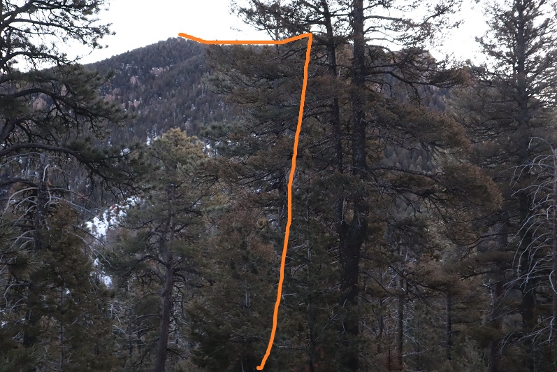
Without taking off our gear we drove further along Old Stage Road and parked directly at the base of Sugarloaf Mountain.
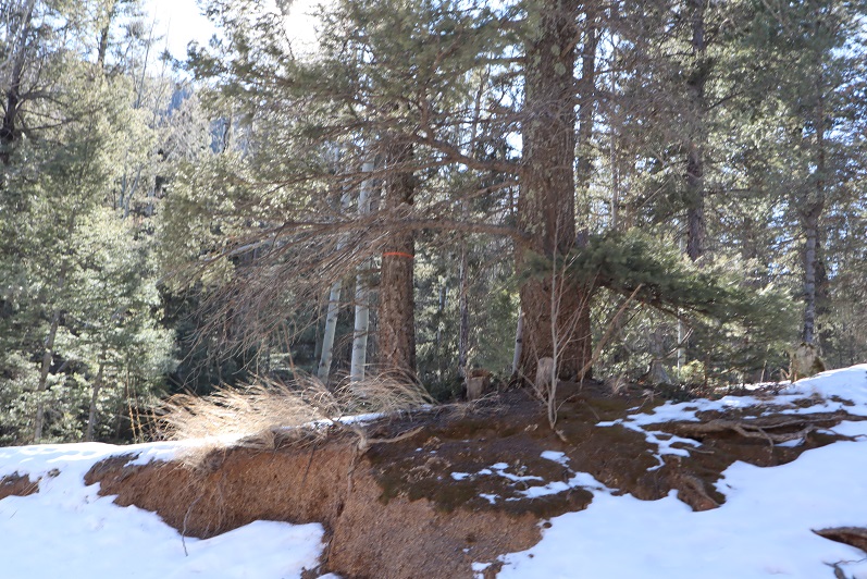
It looked like a quick hike to the top of this El Paso County Highpoint, so we headed off into the trees, starting at the surveyors tape tied around a pine.
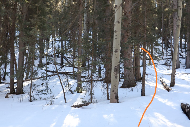
If there was a trail here it was covered in snow, so we just trekked south, straight up the hillside. This area was steeper, covered in more snow, and more heavily treed than the other mountains had been today. Downed trees made the trek ‘fun’
When we were about 30 yards from the summit we came across a trail, which started from the opposite side of the mountain (south) and worked north. We hadn’t taken this established trail because I believed it started on Private Property (but couldn’t be sure). In any event, I didn’t want to push my luck.
We came across a rocky area and a wiki-up
And quickly found ourselves at the summit. It had totally been worth adding the extra peak: In total it only added about a mile to the day.
There wasn’t a summit marker or registry, but we were sure we were at the summit.

We once again followed our tracks back down, Steffen aspen tipping along the way

We made it back down to my truck at 1:20pm, making this a 10.5 mile hike with 4712’ of elevation gain in just over 6 hours.