RT Length: 9.52 miles
Elevation Gain: 3260’
I’m not gunna lie, this was my third attempt at T10. I’d attempted it twice earlier this year, when there was too much snow to access from the Three Needles side, and another time when I felt the terrain was too loose on the Trico side. Both times I’d made it to within 100 feet of the summit, but called it for safety reasons. Also, I’d been in the area, took a bunch of pictures, and I had a plan. I wanted to make this a class 2 hike in a different way. Spoiler alert: I was unable to make that happen. Sorry folks, T10 is class 2D/2+ (both mean steep scree, and honestly, I’d much rather climb a class 3 peak) from Black Bear Pass, sketchy class 3 from the Three Needles side.
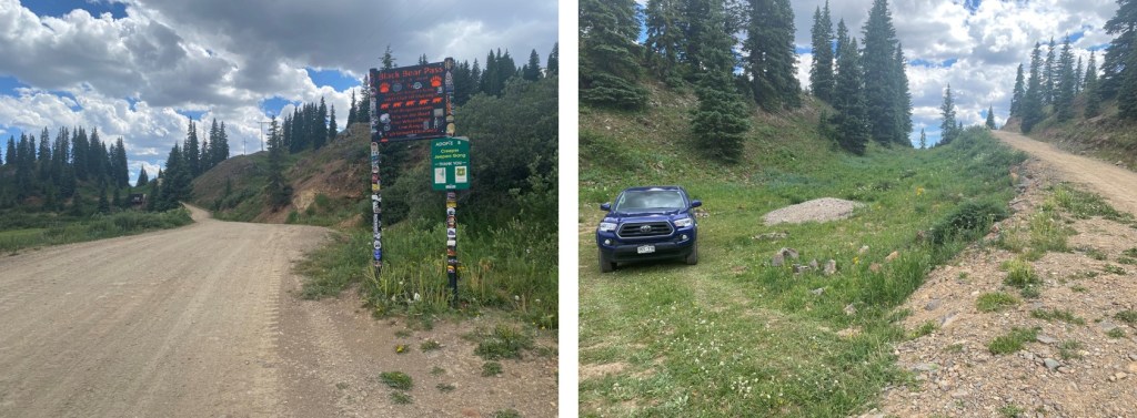
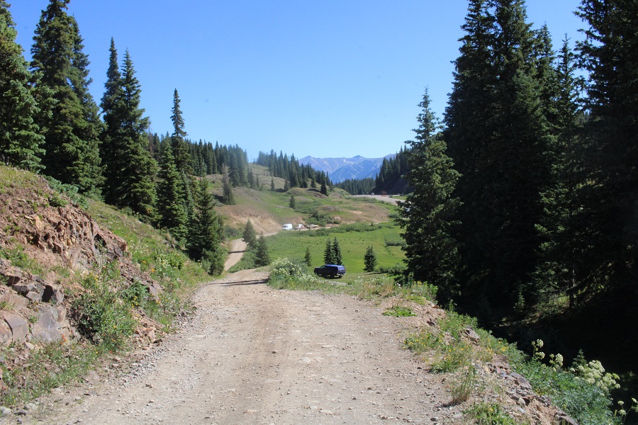
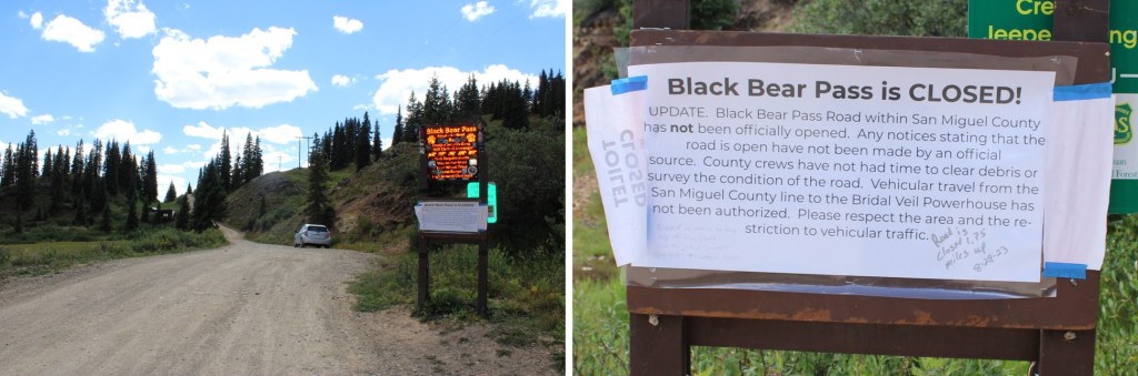
I was parked at Red Mountain Pass, which had a sign indicating Black Bear Pass was closed to vehicular traffic. Now, a 4WD vehicle can make it to the pass from this side (it was open when I was here in July of this year) but they’ve closed the gate, presumably from difficulties on the other side of the pass, because this side was and has been clear to go.
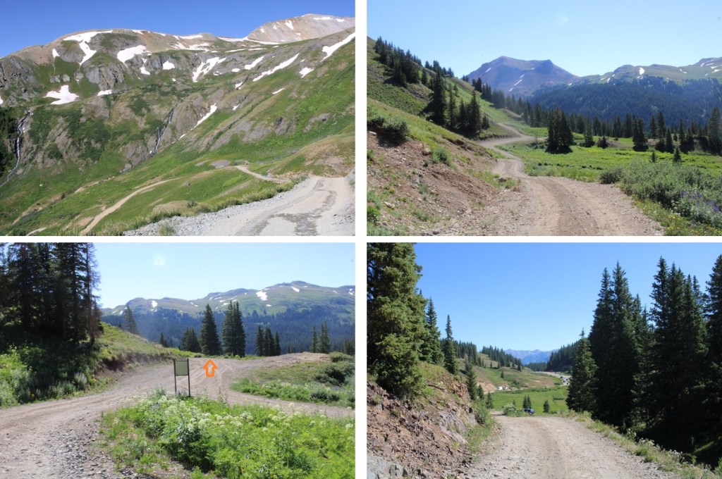
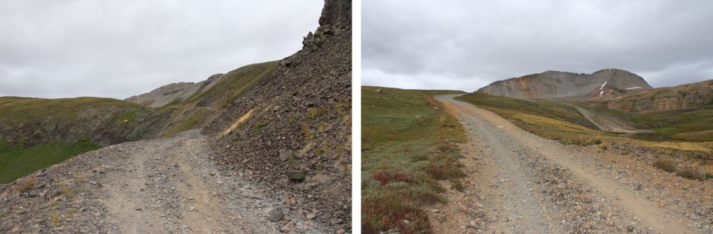
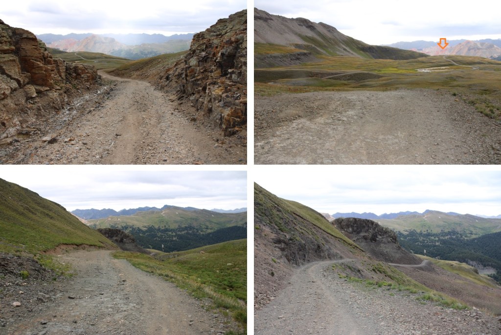
I and on the trail at 5:30am. I took 4WD 823 to the Black Bear Pass/Prophyry Basin junction.

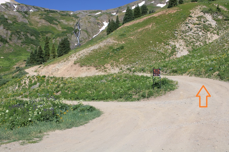
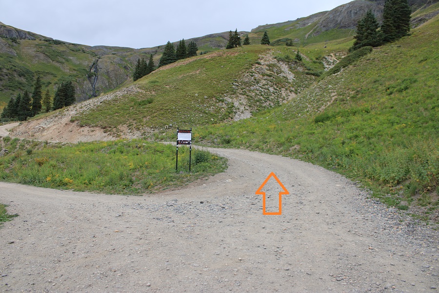
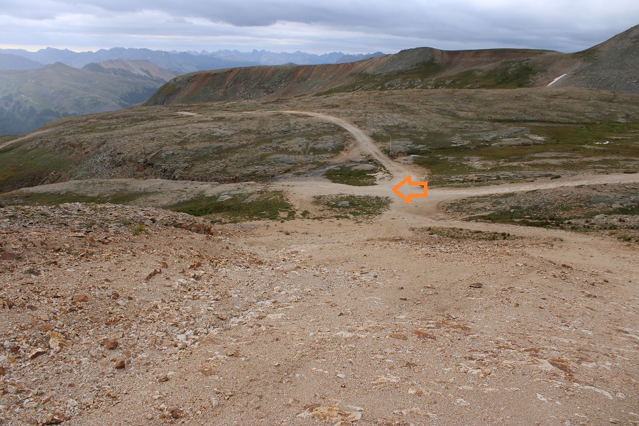
I quickly came to the Black Bear Pass/Prophyry Basin junction and continued straight towards Black Bear Pass
Although steep at times, a standard 4WD should be able to make it to the pass if it were open

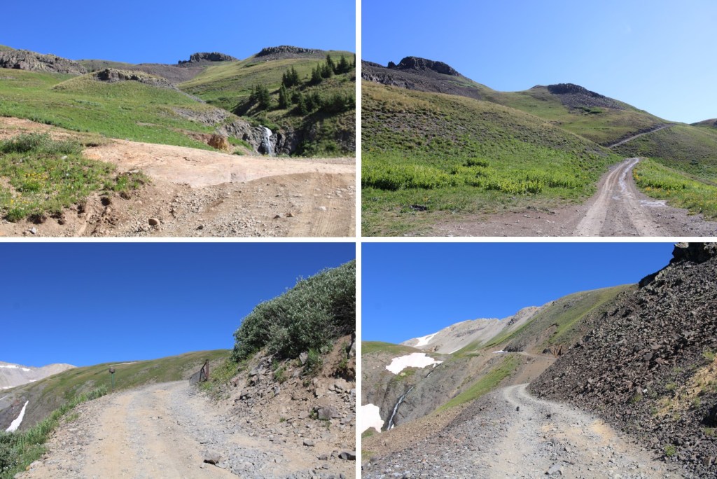
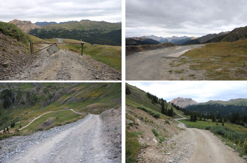
The pass was indeed closed to vehicular traffic.

I walked around the closure and continued towards Mineral Basin.
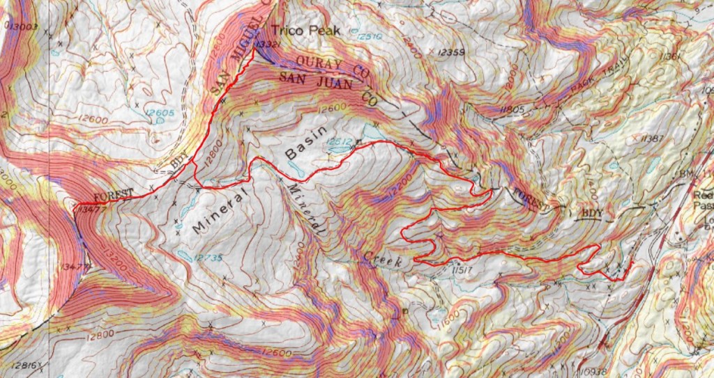
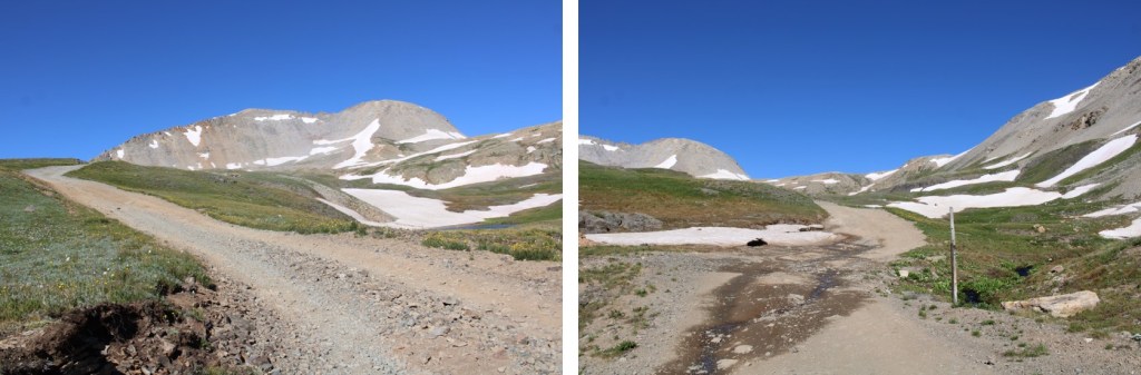
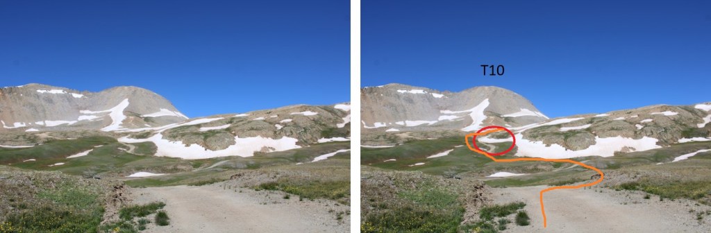
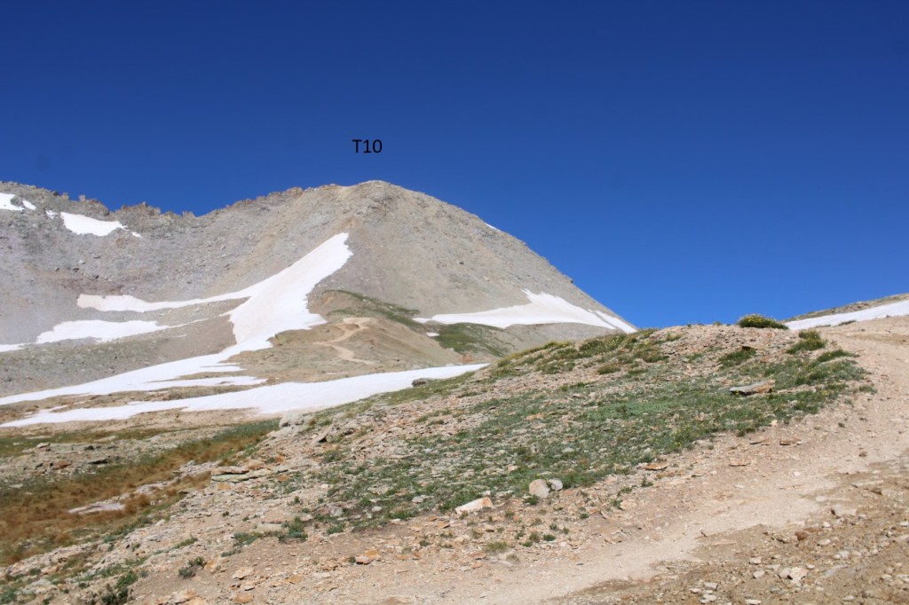
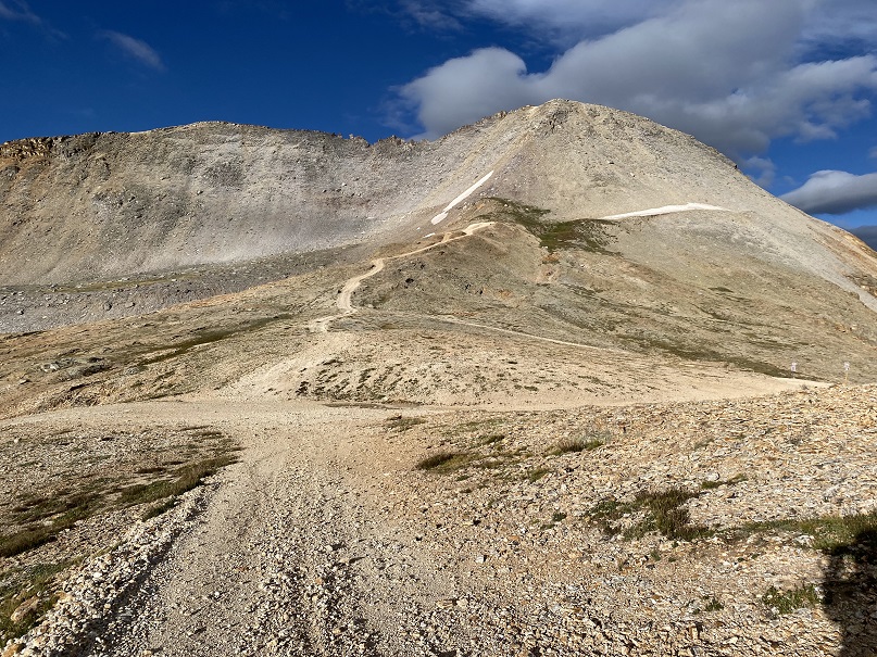
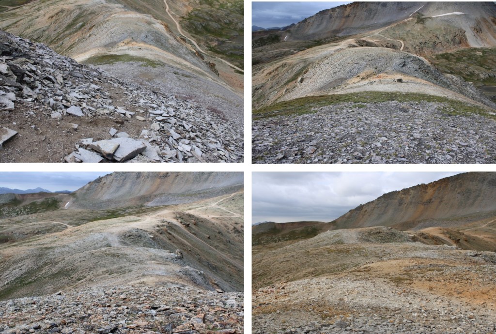
The road continues through Mineral Basin all the way to Black Bear Pass. I could now see T10

The road splits before the pass, but both roads circle back to the same place. I’m assuming the road to the left is for when there’s still snow on the main road, as there was late July of this year.
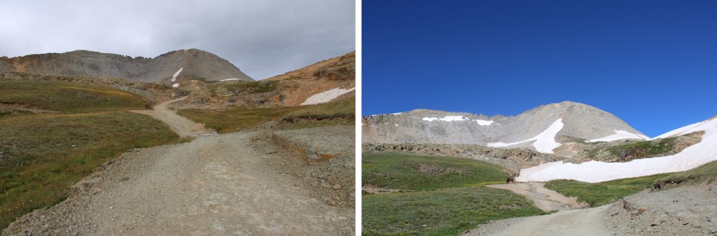
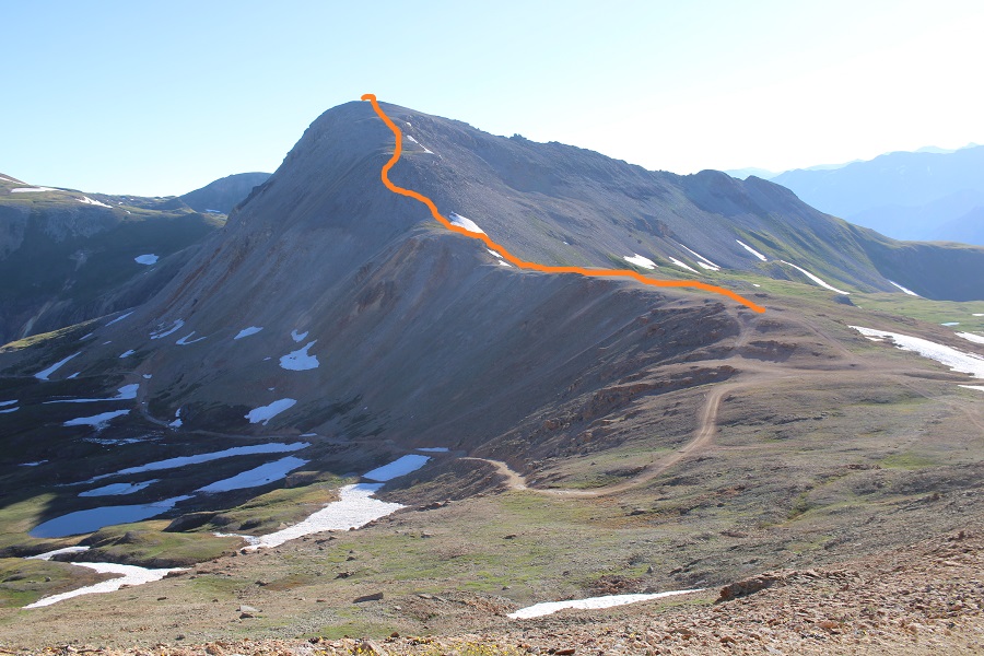
There is an obvious road that goes all the way to the base of T10
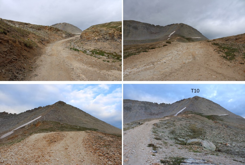
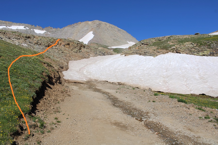
At the end of the road I sat down and strapped on my helmet and microspikes, and looked at the route up.

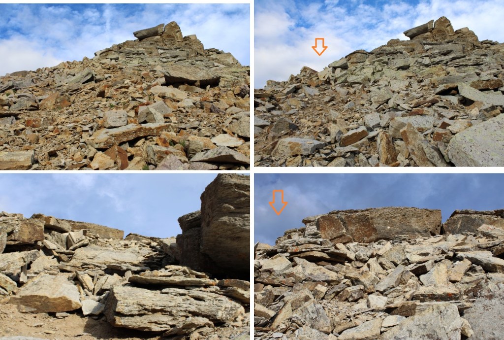
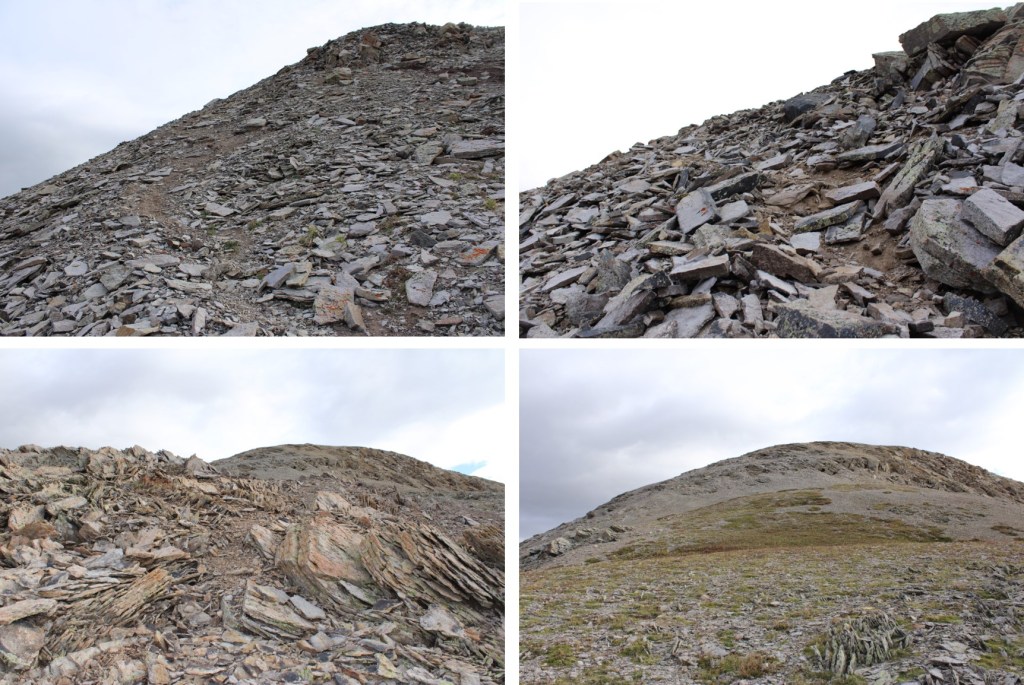
Last time, I’d gone too far to the right, and the terrain became too steep to climb. This time I stayed more to the middle.
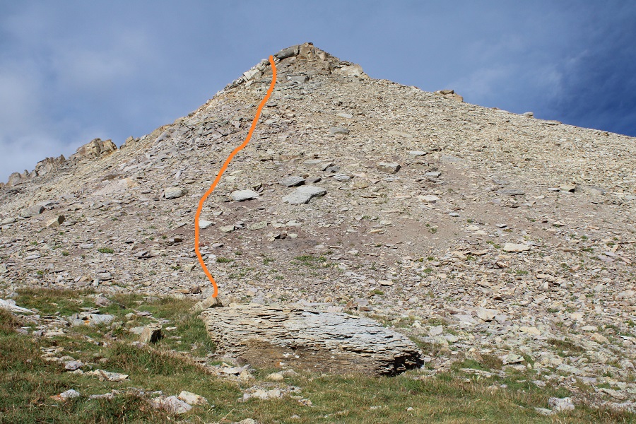
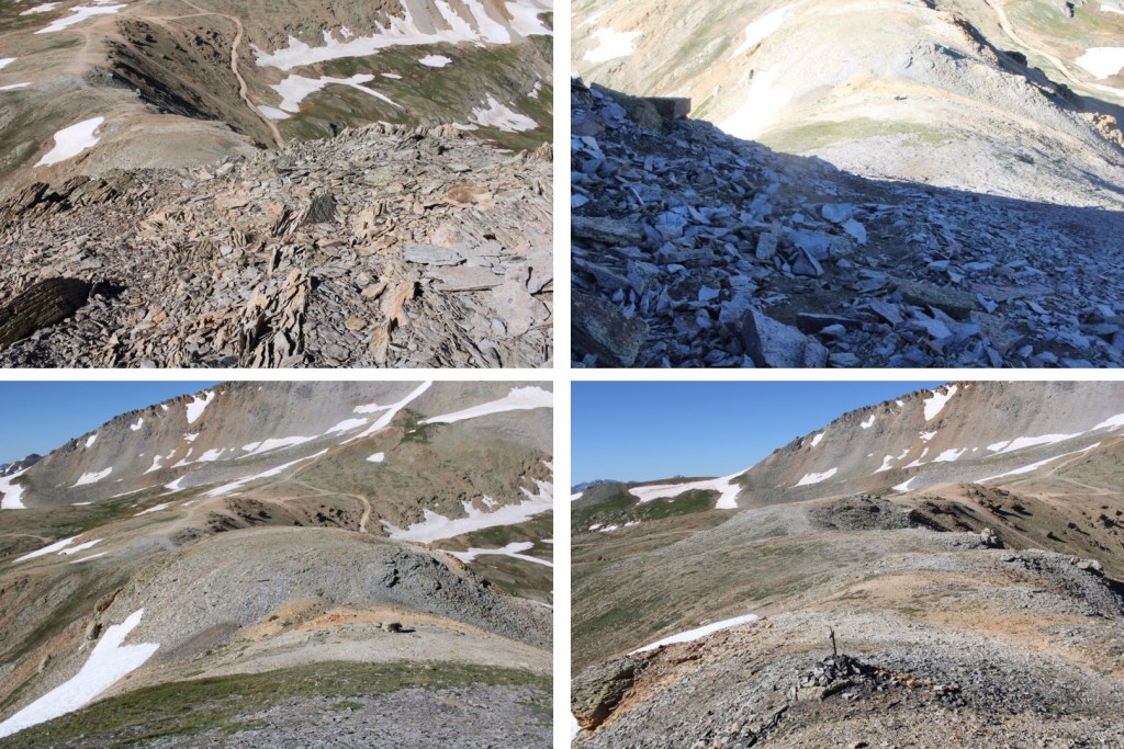
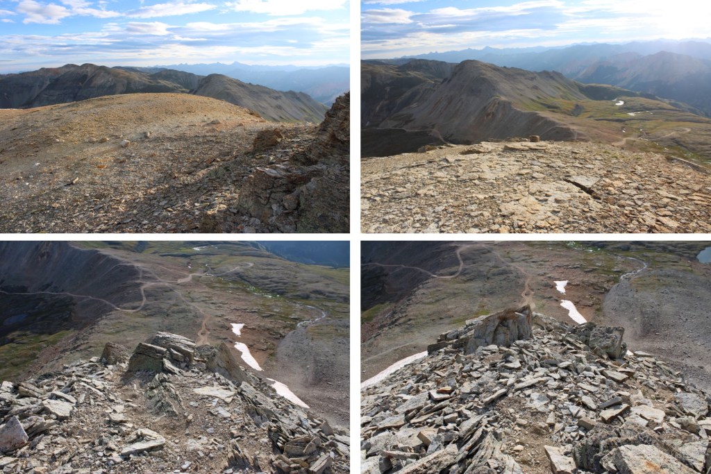
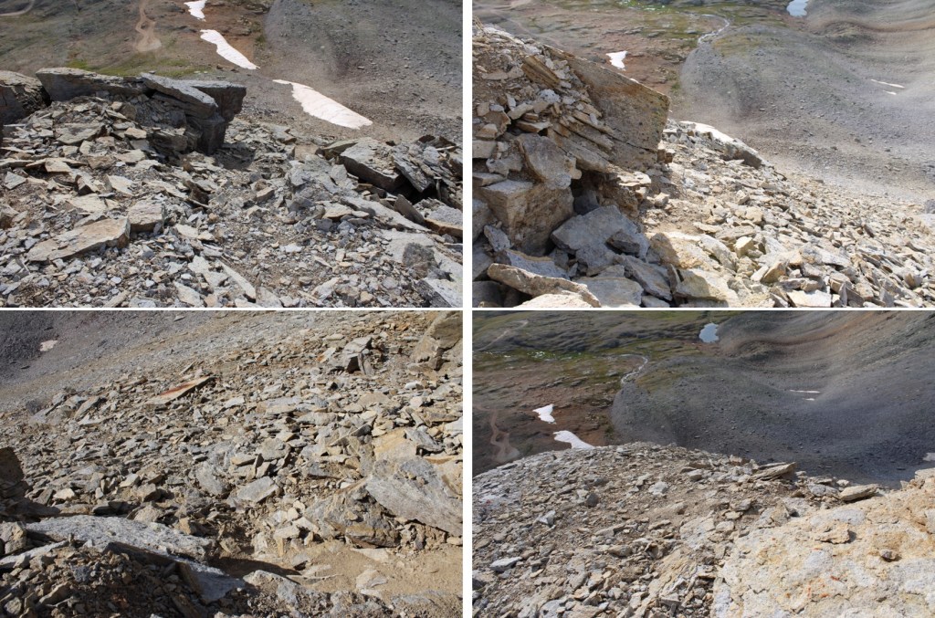
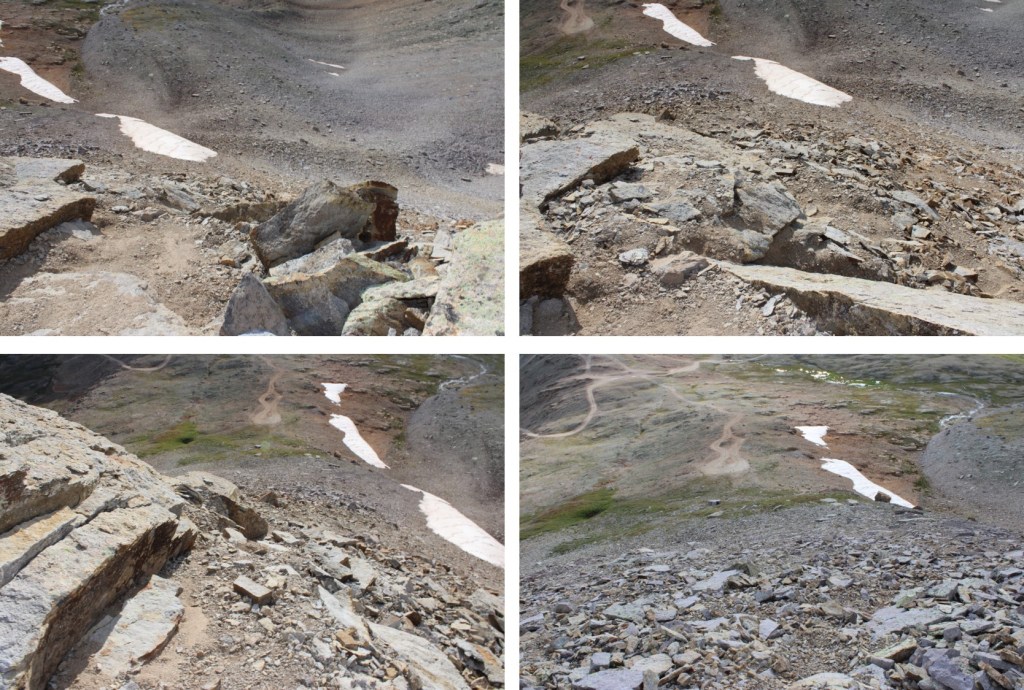
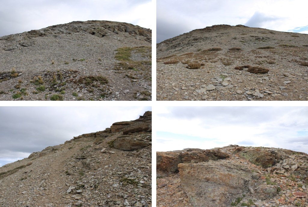
There were tons of game trails here, which most likely weren’t game trails at all but runouts from the snow. The rocks were not stable, no matter what size they were. Lots of scree here as well. Here are some pictures of my route up T10. Be forewarned, it looks like the rocks shift every year. Some large rocks were in a different place than they were 2 months ago.
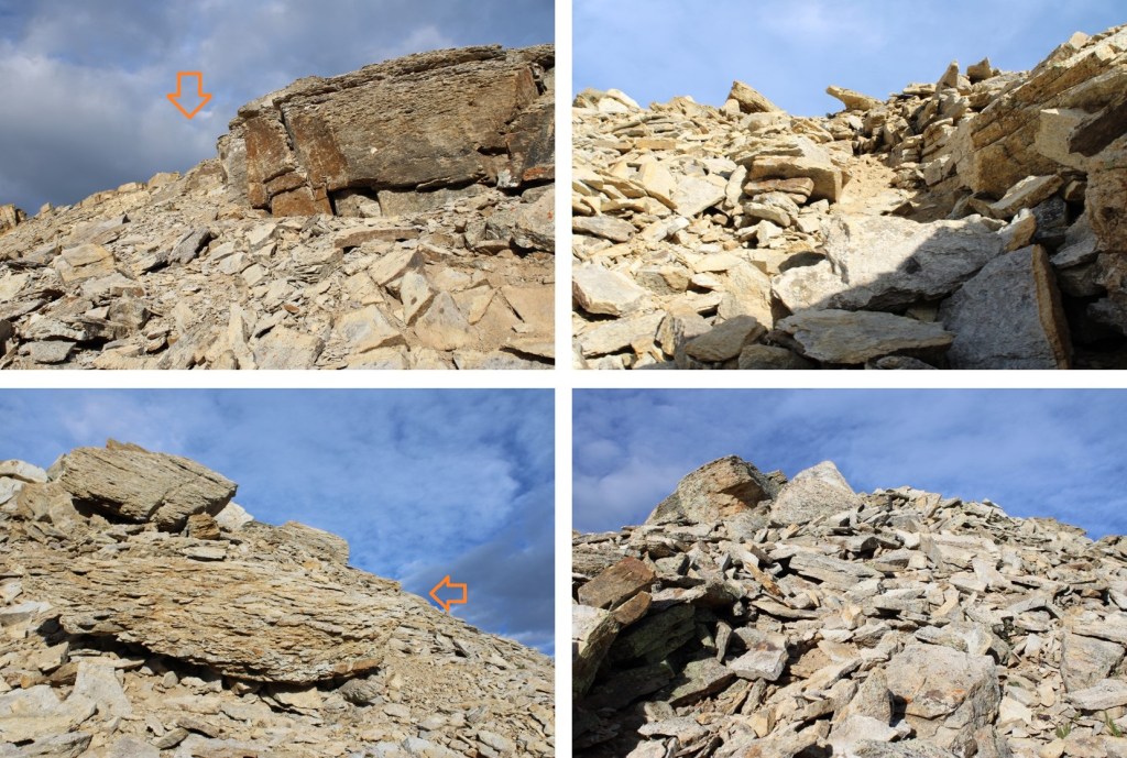
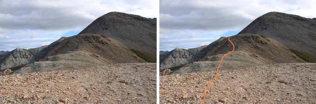
Once on the ridge the summit was clear.
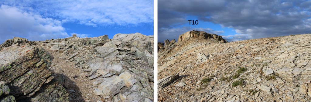
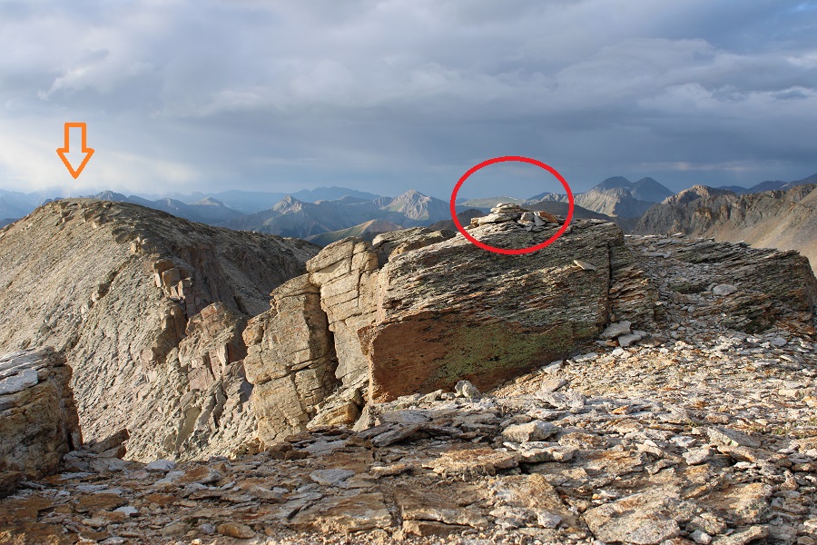
Here you can see the ‘other’ 13477 to the left and the summit cairn circled)
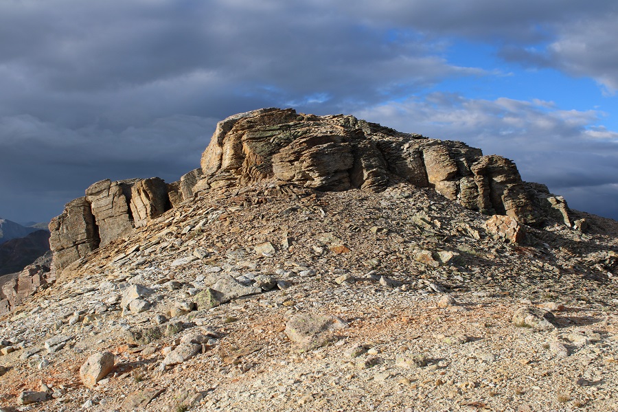
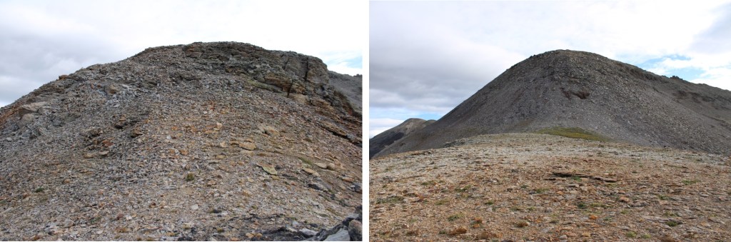
I summited T10 at 7:30am
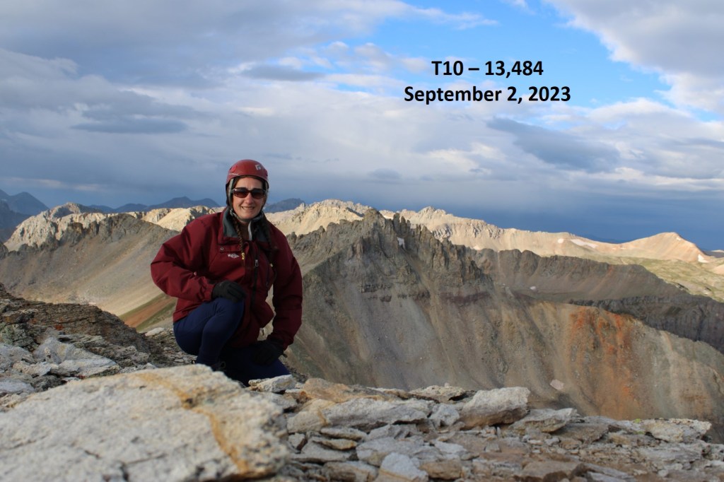
T10:
There was a storm coming in, so it was windy and cold. I didn’t stay long, and instead headed back down towards Black Bear Pass the way I’d summited
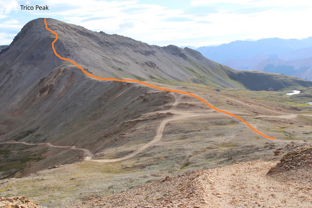
Back down on the road, I looked over at Trico Peak, and around at the weather.

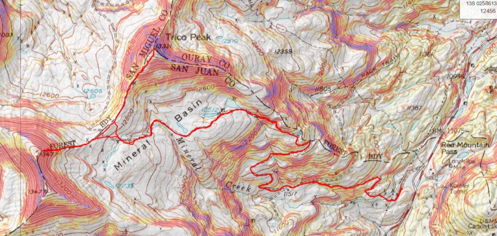
It had been sprinkling off and on, and the wind was fierce, but I knew from the last time I did Trico it was a quick and straightforward hike. I decided to go for it. This is the overall route I took

After the road ends, there is a game trail that goes pretty much all the way to the summit, keeping Trico Peak class 2.

I summited Trico Peak at 8:20am

Trico Peak:
I’d made it, but the wind was fierce, and I could see storms all around me. I jogged back down to the pass, stopping only a few times to take pictures of the route

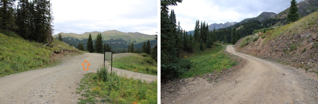
Back on the 4WD road, I turned left and followed it back down Mineral Basin to Red Mountain Pass

I made it back to my truck at 9:30am, making this a 9.52 mile hike with 3260’ of elevation gain in 4 hours.