RT Length: 7.36 miles
Elevation Gain: 1920’
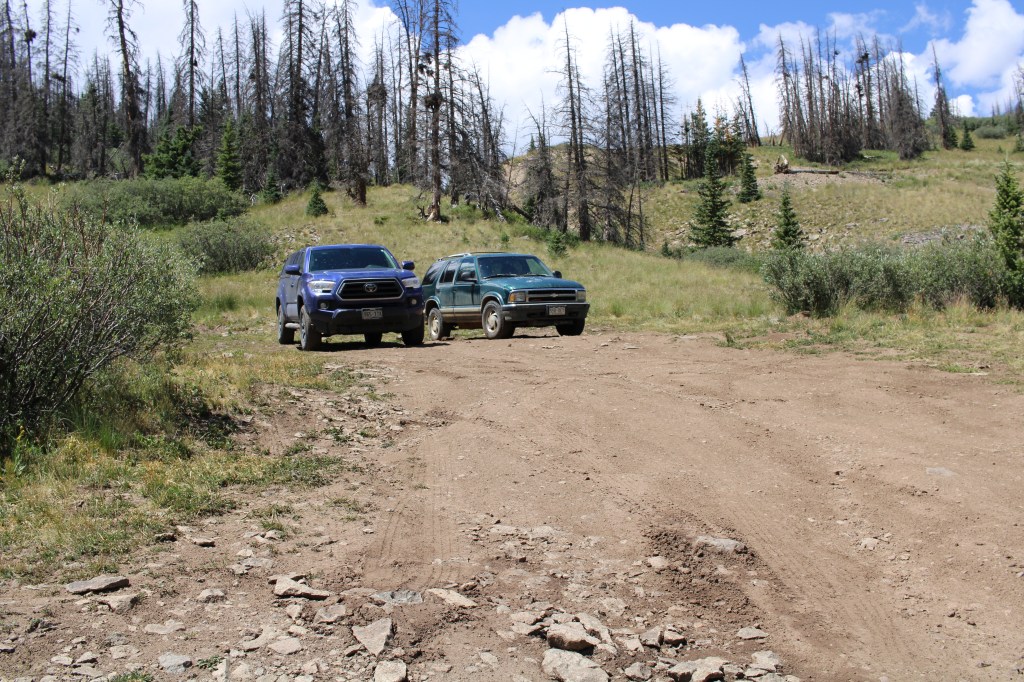
I started from the West Willow Creek 4WD trailhead at 11550’. If you don’t have 4WD, park below, just before the road turns to 4WD. This will add 3 miles and 500’ of elevation total to the hike.
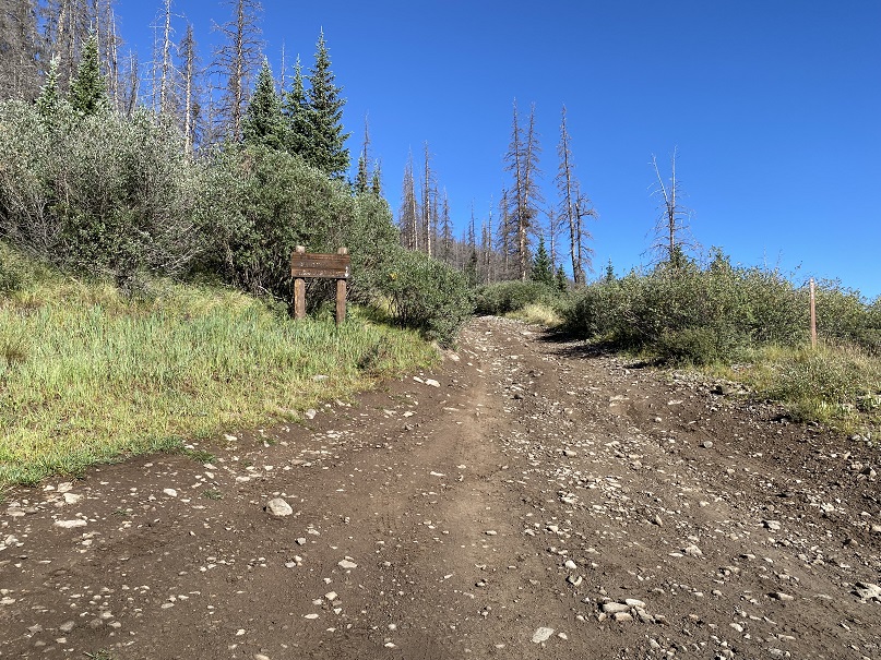
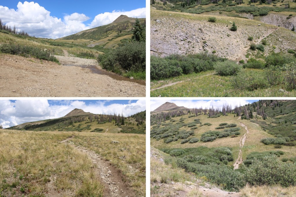
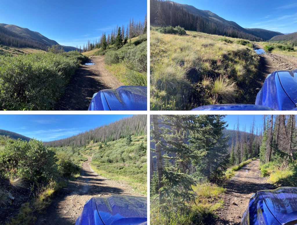
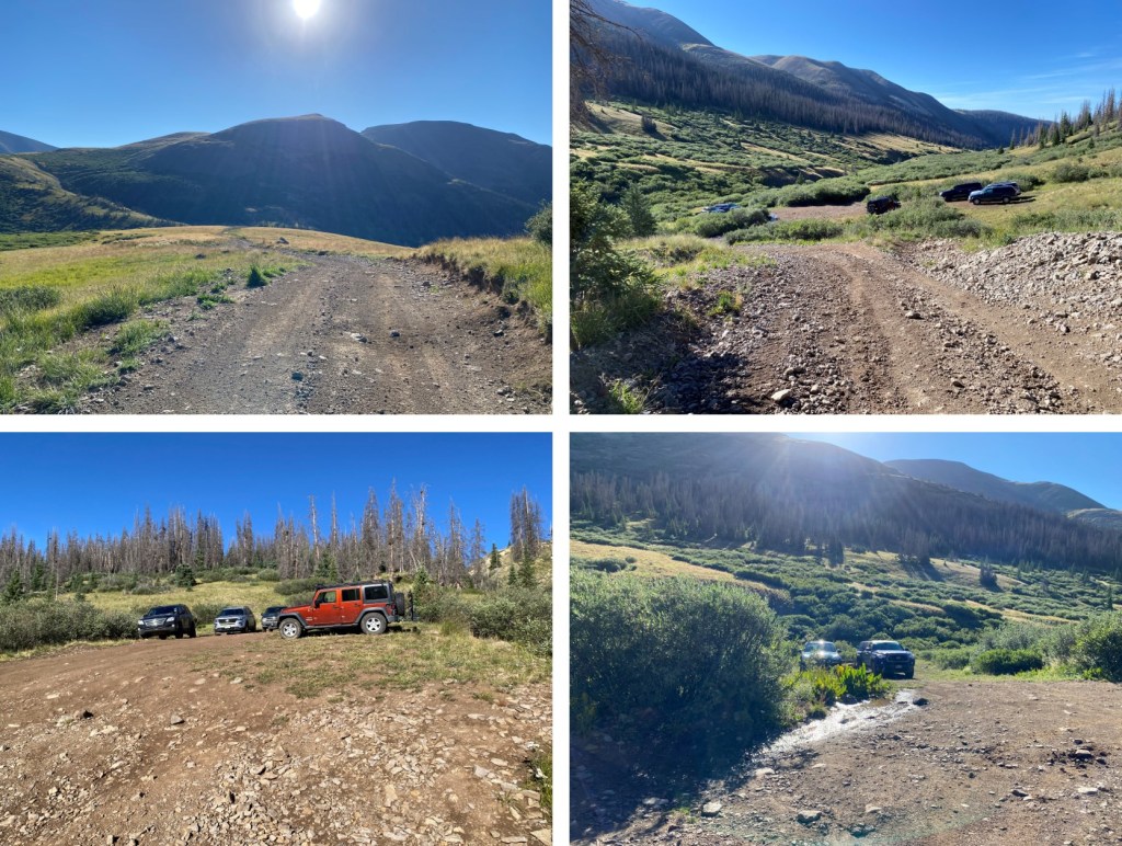
Here are some pictures of the 4WD road in
There are a few dispersed campsites here, and a parking area for about 5 vehicles.
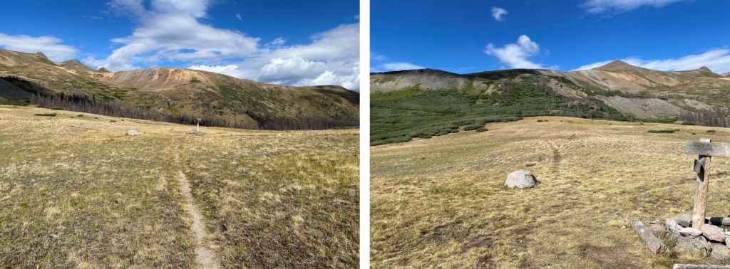
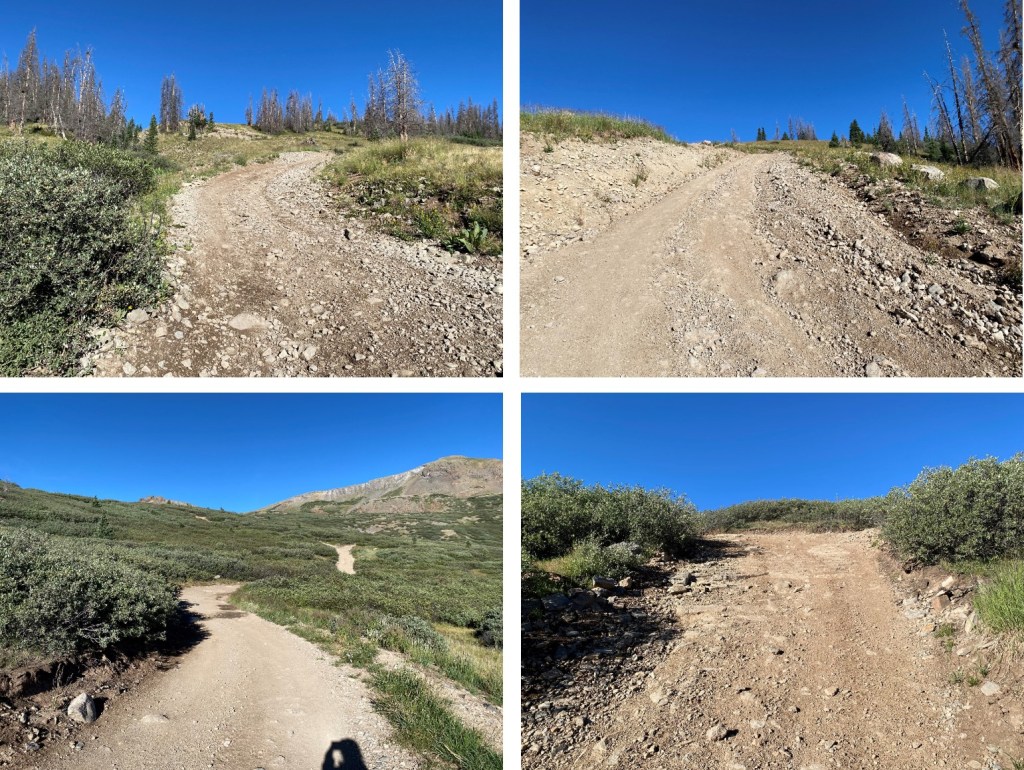
I was on the trail at 5am. The trail actually continues following the 4WD road, and if you have gotten this far, you can do the next few miles on the dirt road. I chose to hike in, to get some extra mileage. I followed 4WD road 505.1 west for 1.5 miles as it climbed into the upper basin.


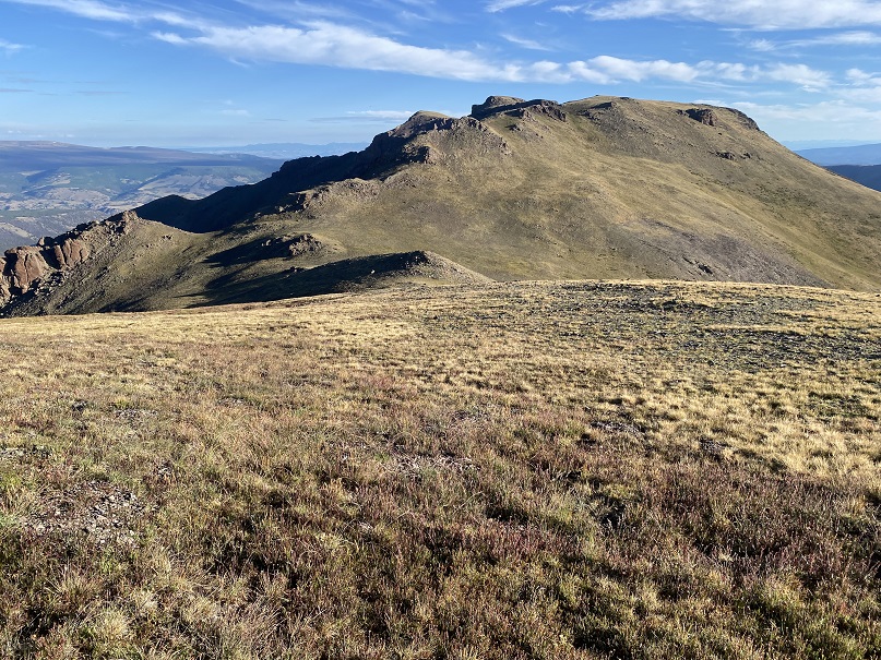
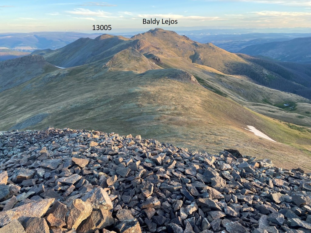
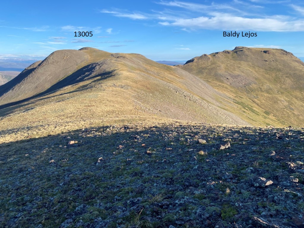
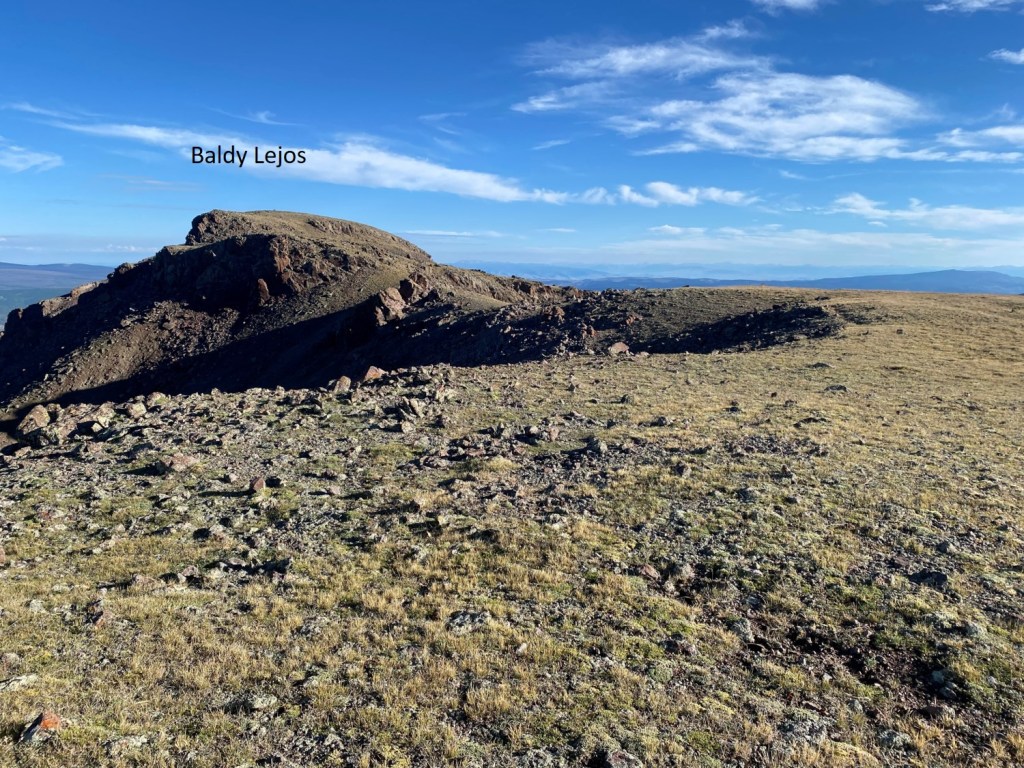
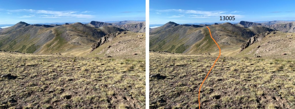
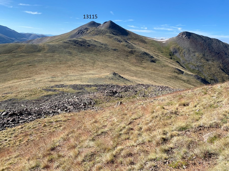
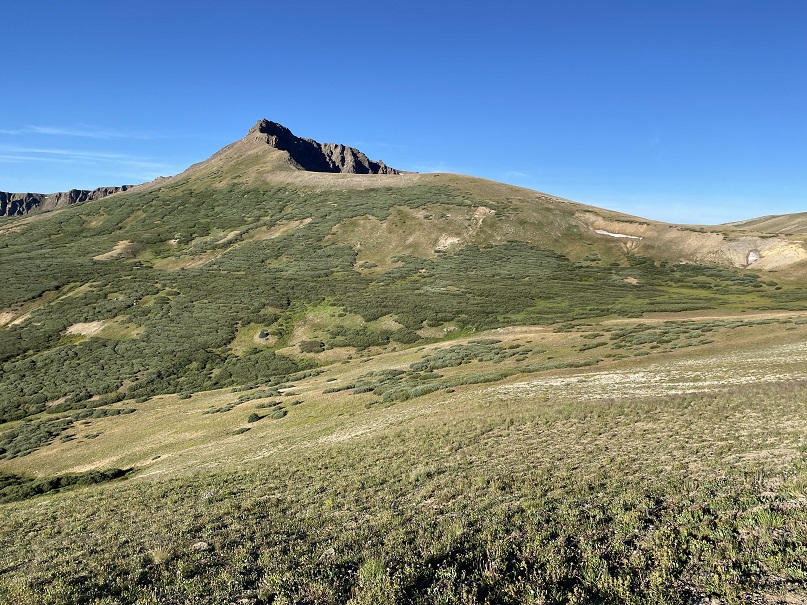
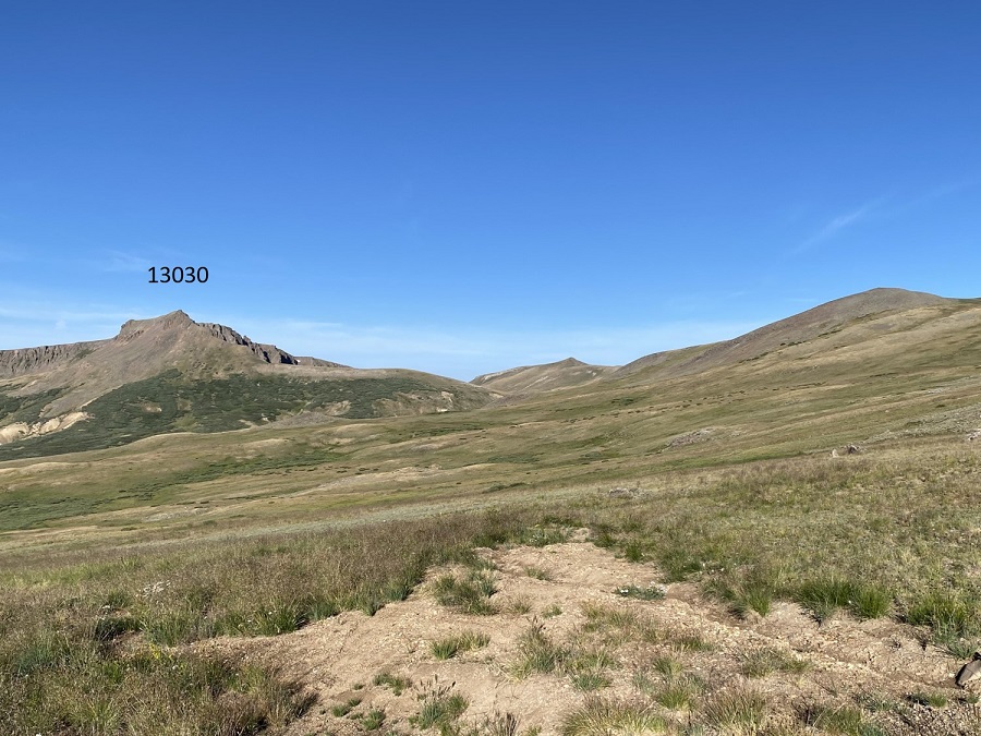
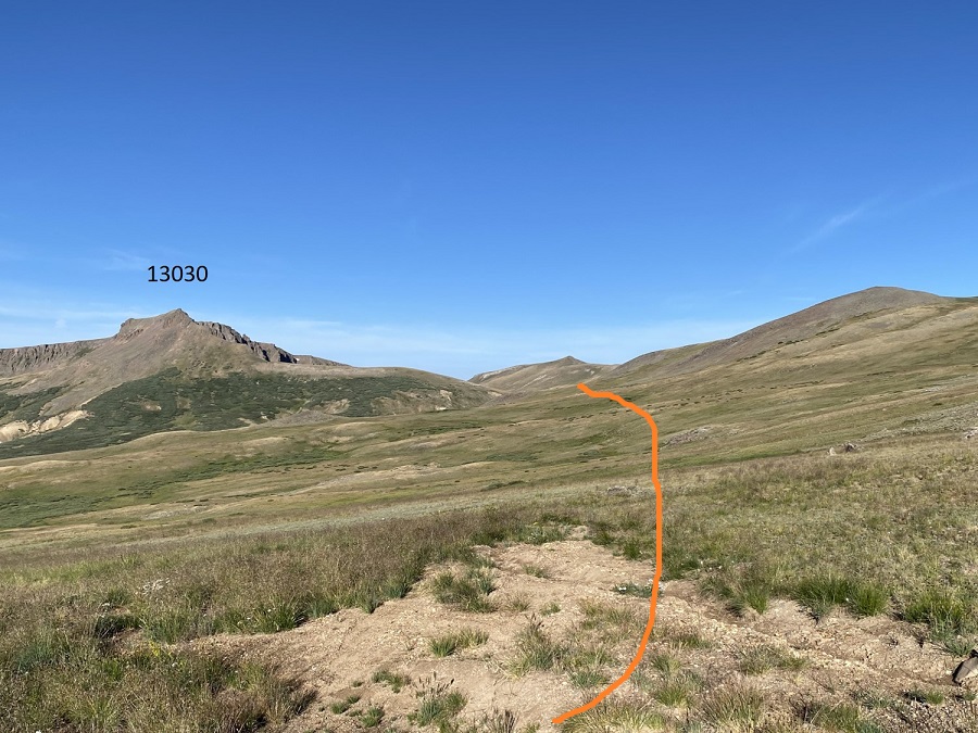
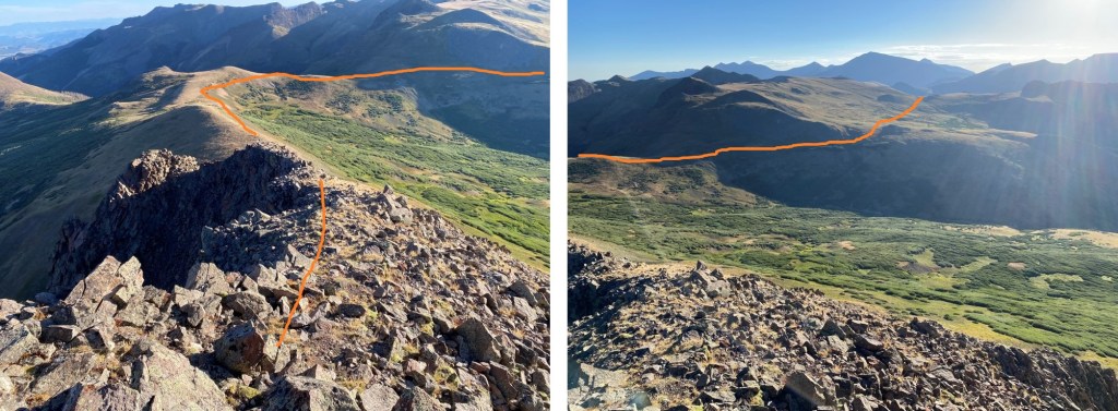
At the top f the pass I could see PT 13030. At about 12500’ I left the road and headed for the ridge, staying at about 12,500’ of elevation.
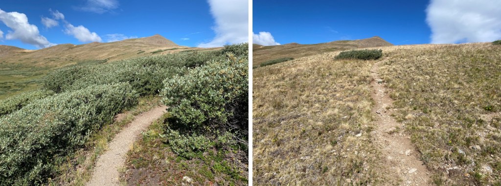
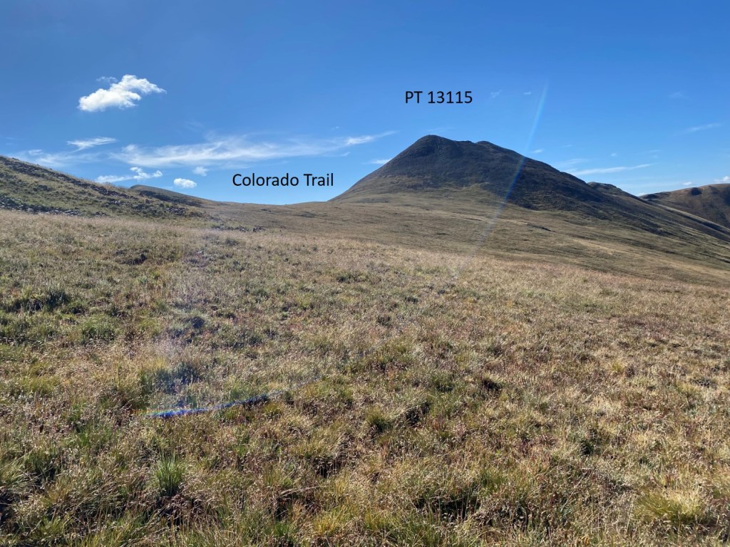
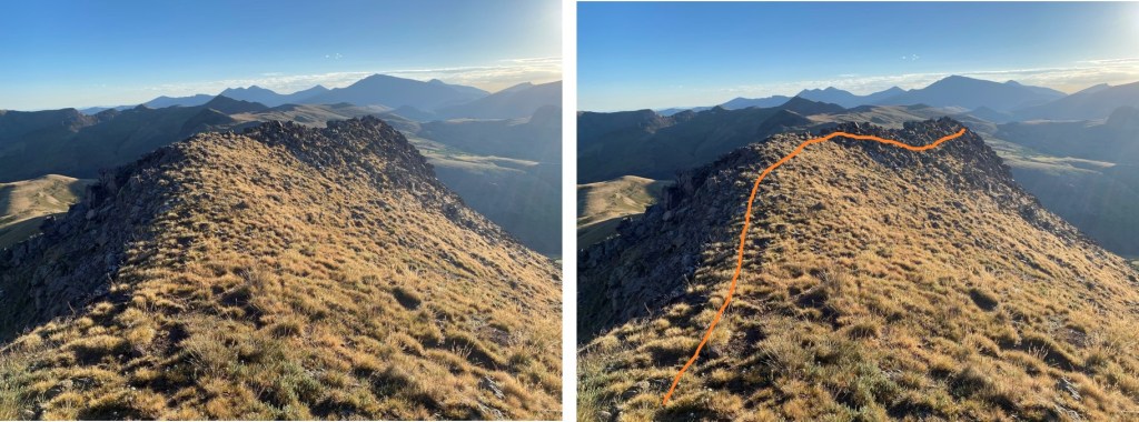
Here’s an overall look at the route I took to the ridge. CalTopo will tell you there’s a road here. There isn’t.
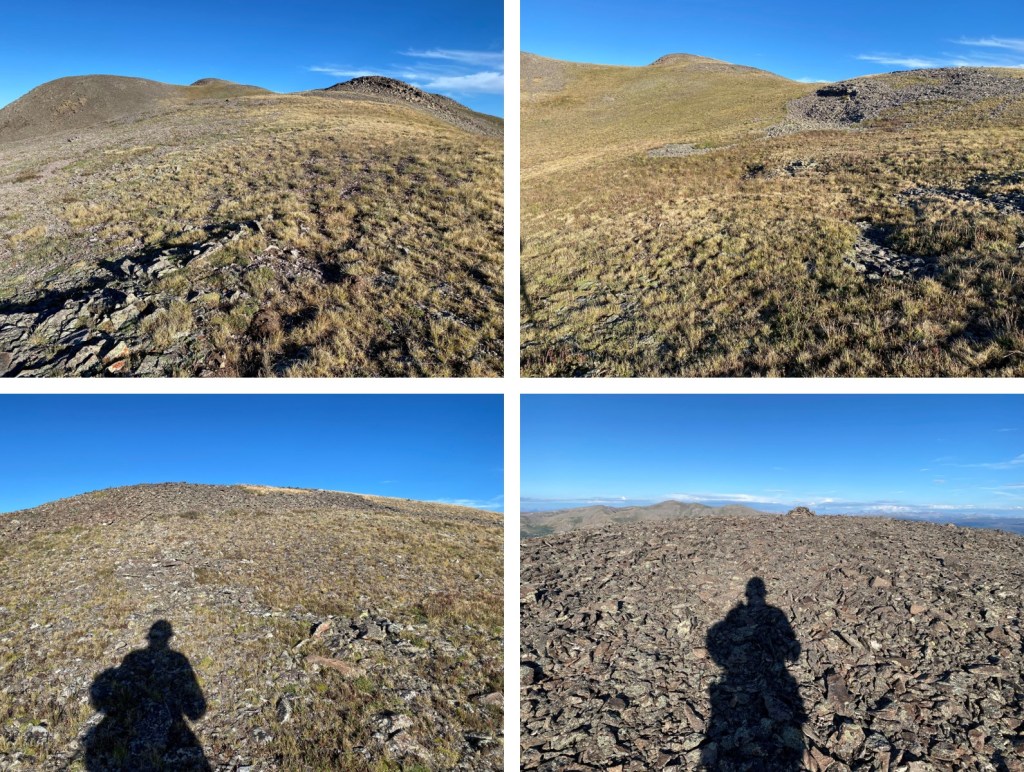
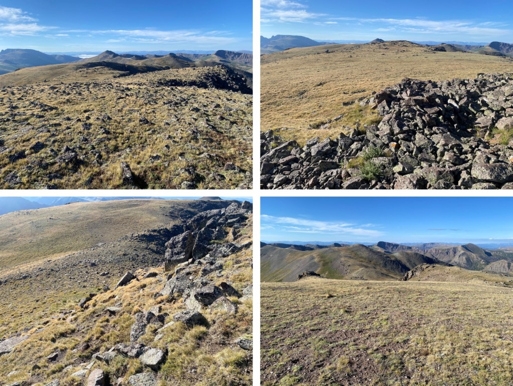
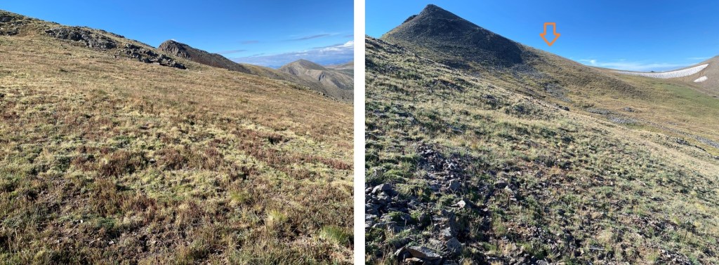
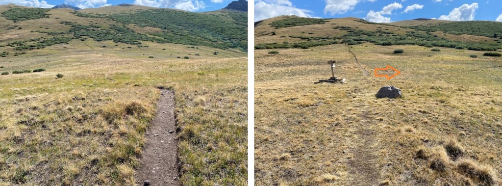
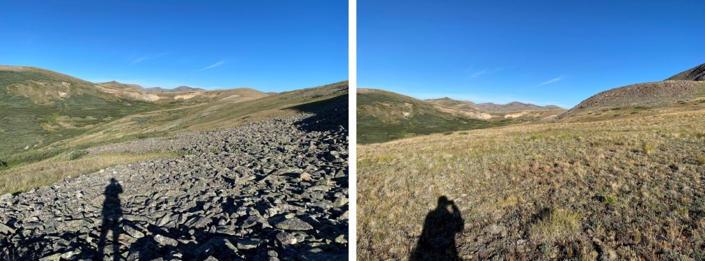
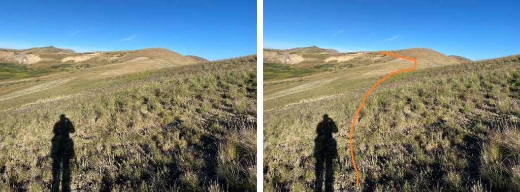
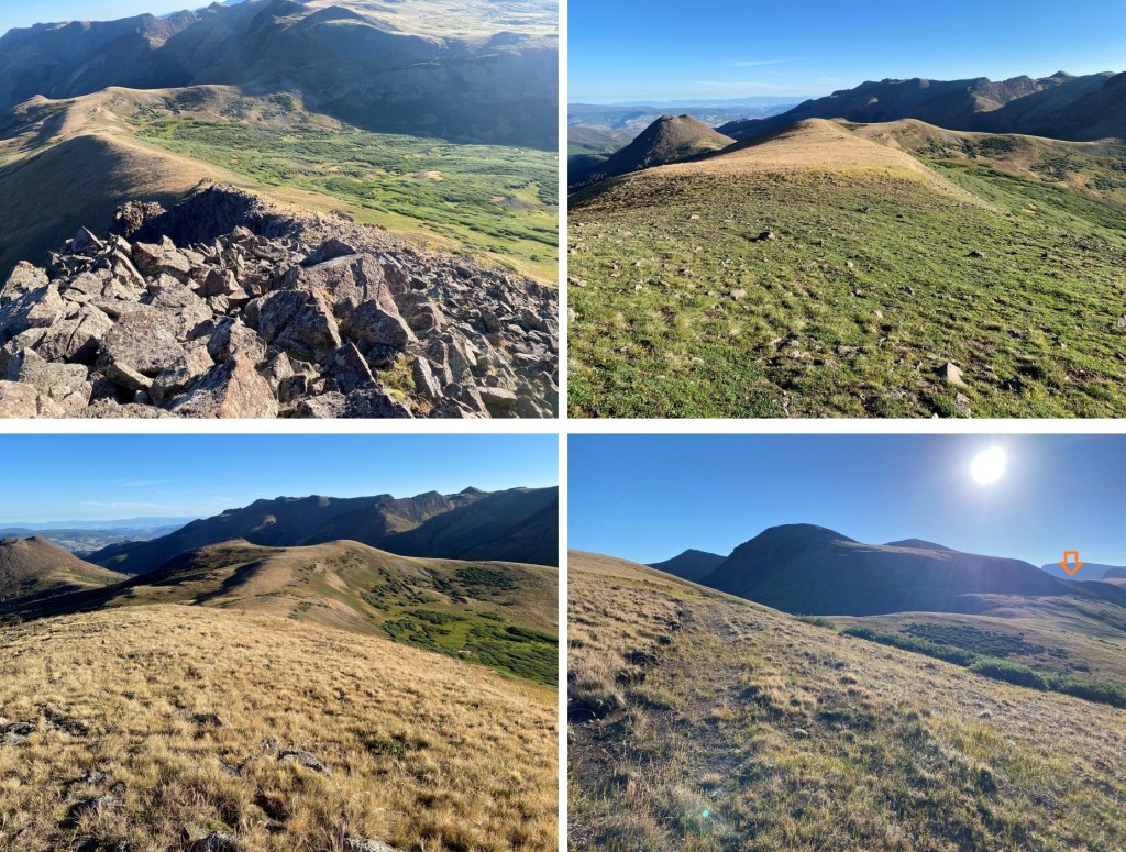
And some step-by-step pictures
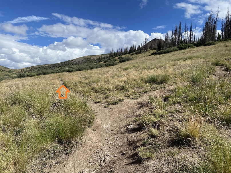
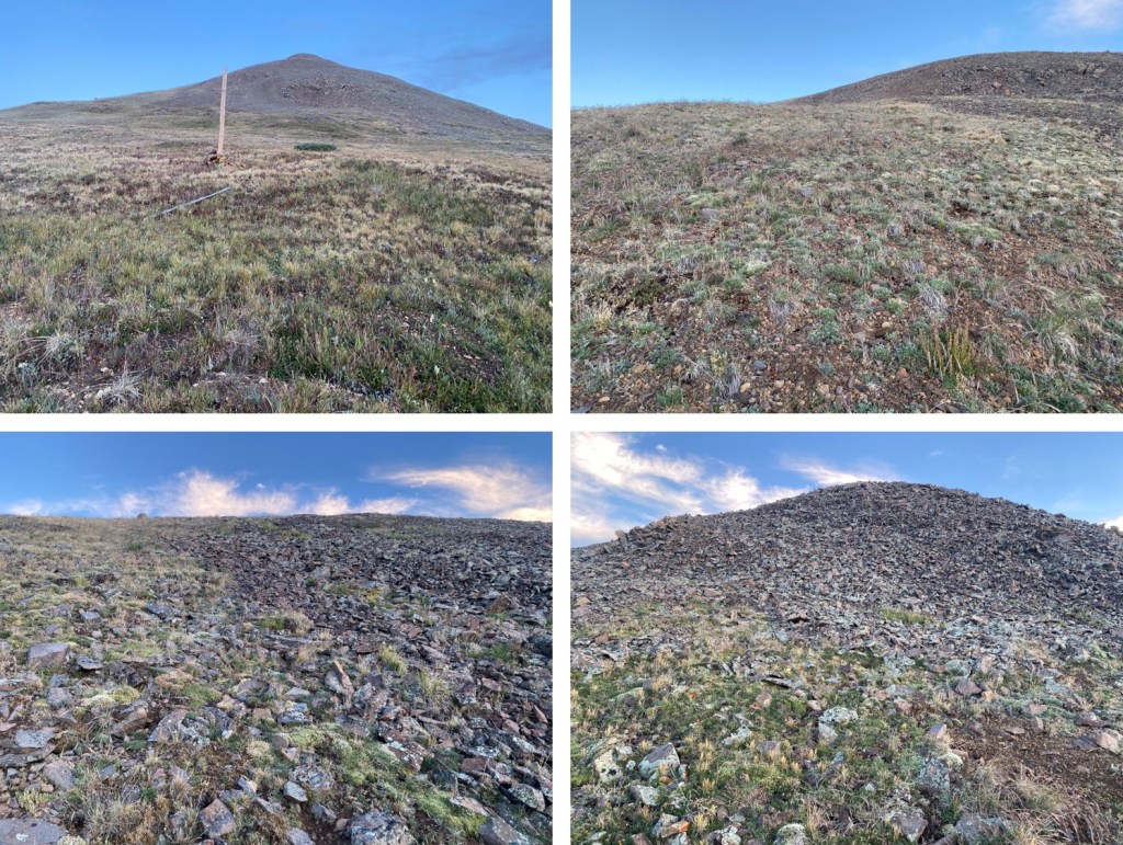
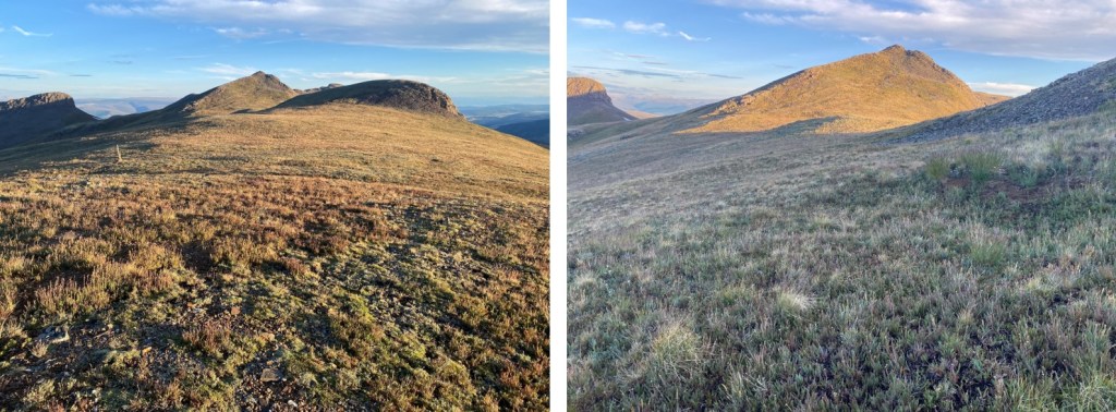
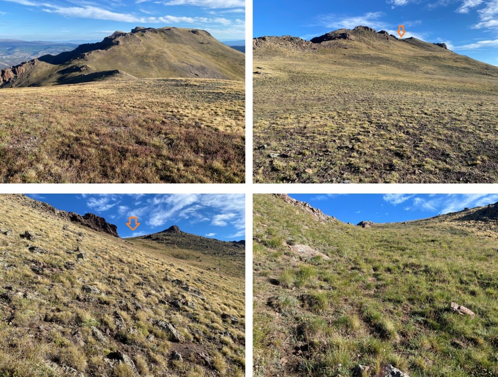
There’s a small game trail that will lead you up the saddle
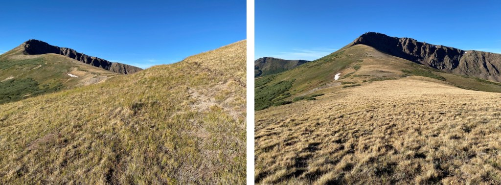
Once on the saddle I turned left and followed it south to the rocky area

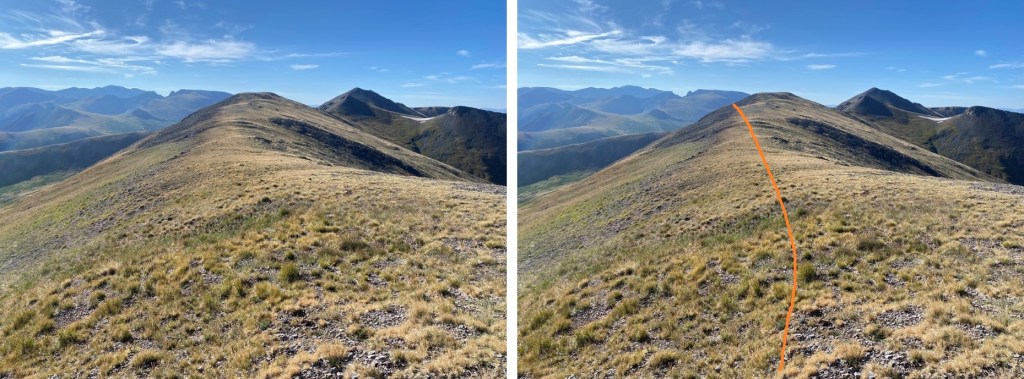
If you plan on rock scrambling, now is the time to put on your helmet. I continued southwest up the ridge, following a tundra and rock filled slope
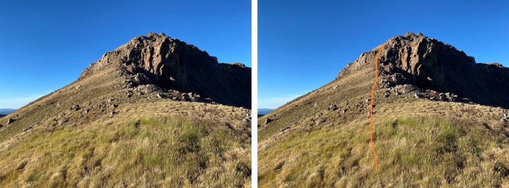
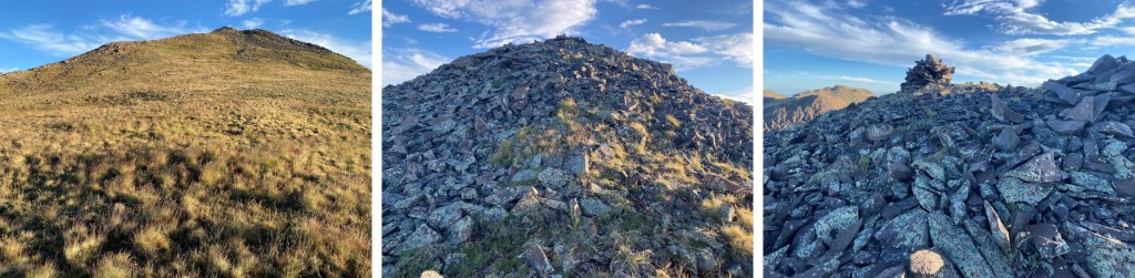
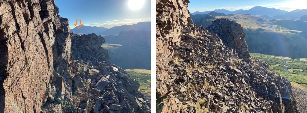
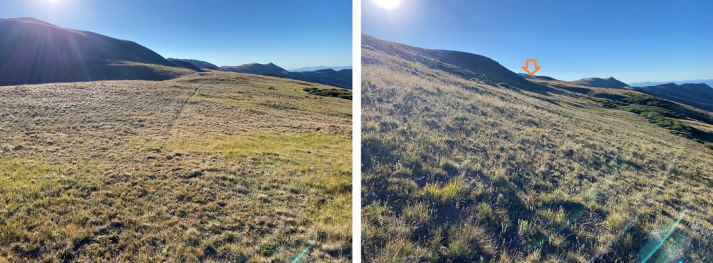
Then I went left, below this large boulder, keeping it class 2
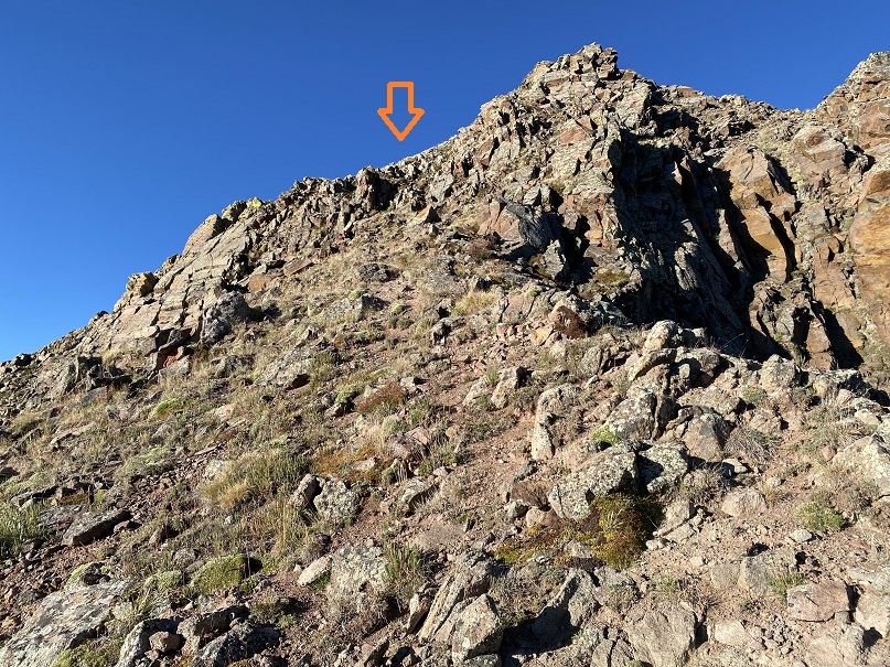
From here you have two options. You can either gain the ridge for a quick class 3 scramble to the summit, or stay about 20 feet below the ridge to the left, and keep it class 2+. Here’s looking at the route to the ridge for the class 3 scramble, which is stable but narrow and airy.

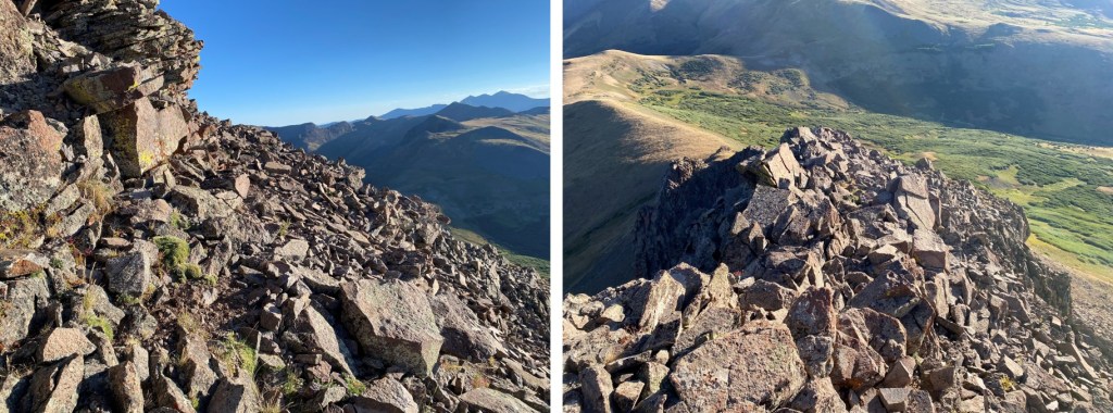
And here’s the class 2+ option, heading southwest, and then gaining the ridge

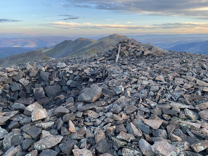
Once on the ridge, it was a quick walk to the summit
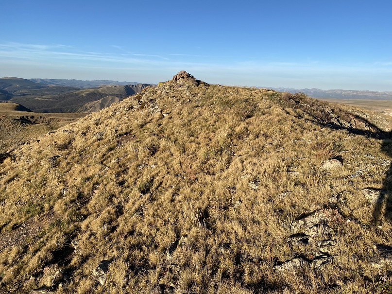
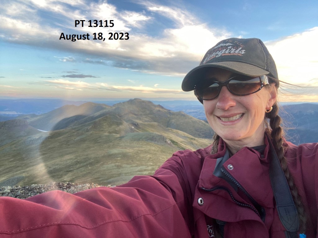
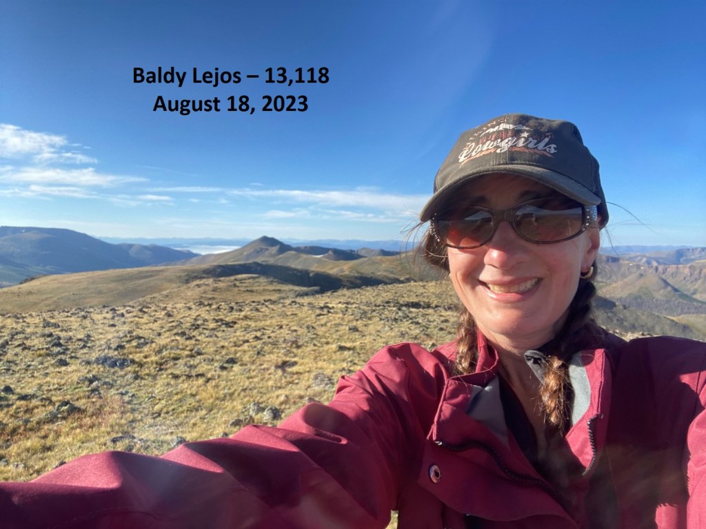
I summited PT 13030 at 7am
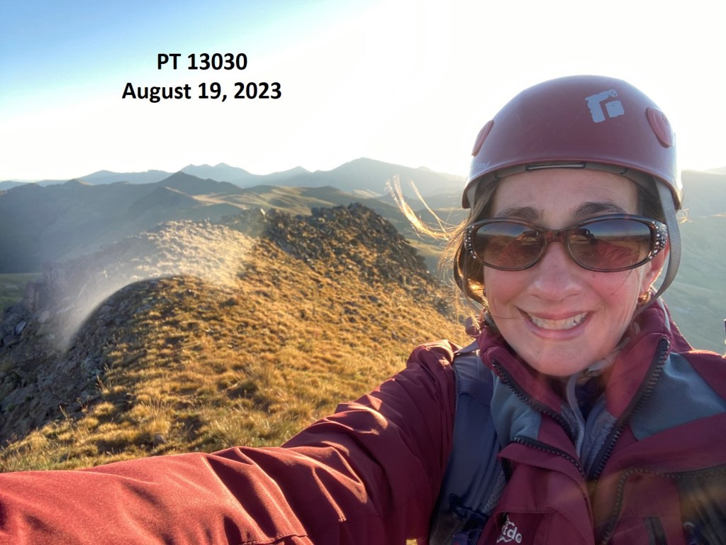
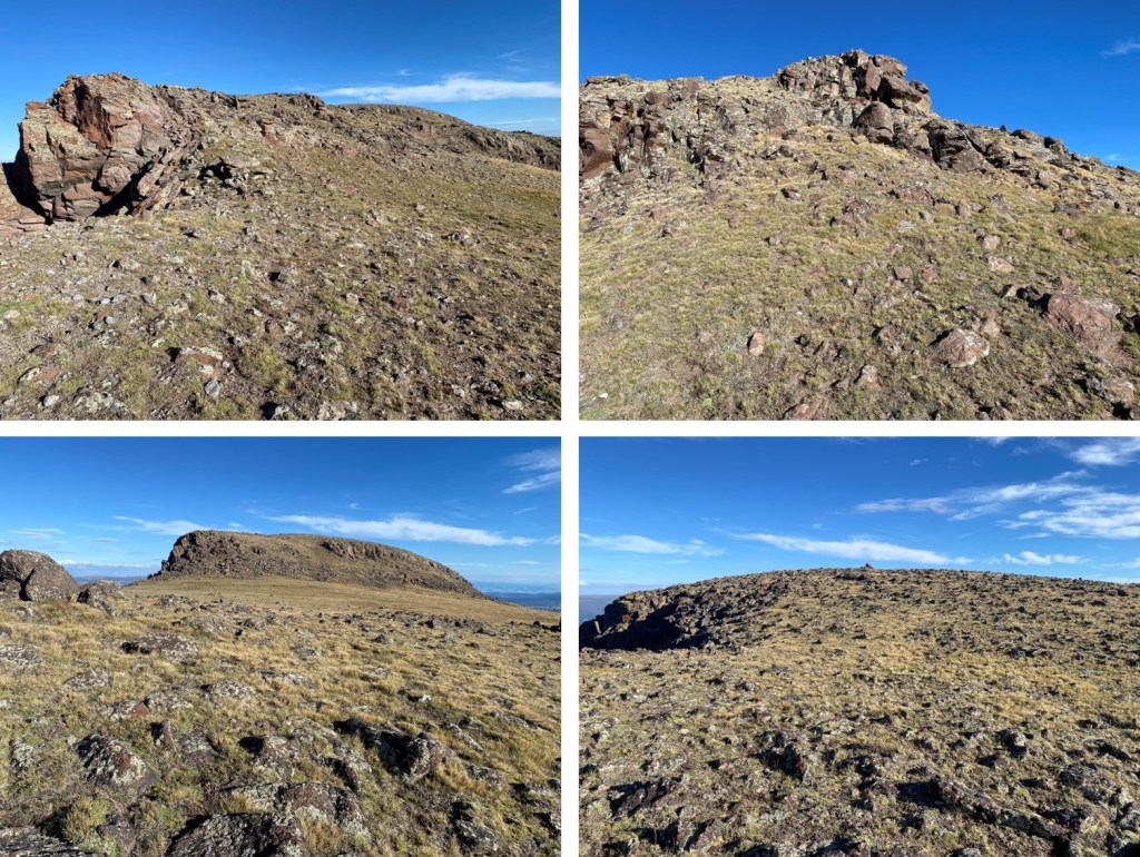
PT 13030:
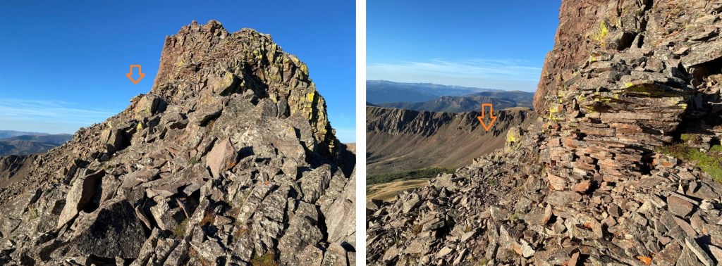
I took the class 3 ridge option on the way in, and decided to take the class 2+ option on the way out. Here’s the route I took back
There are two rocks placed as if they had been a cairn at one point, indicating where to descend from the ridge to keep it class 2. It’s not obvious, and might not even be a true cairn at all, but it’s a good place to descend.

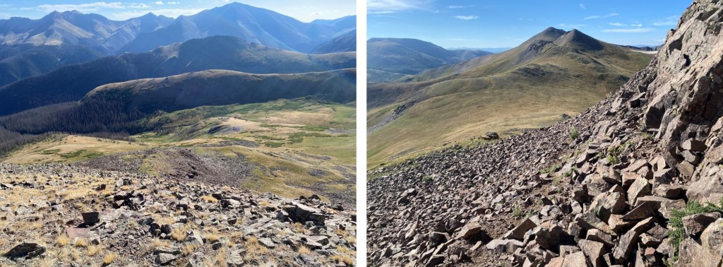
Then it was back to navigating around the large boulders
And heading back down to the ridge
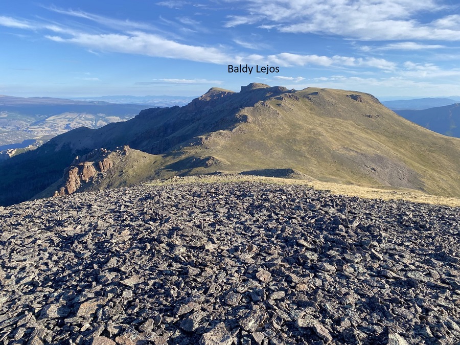
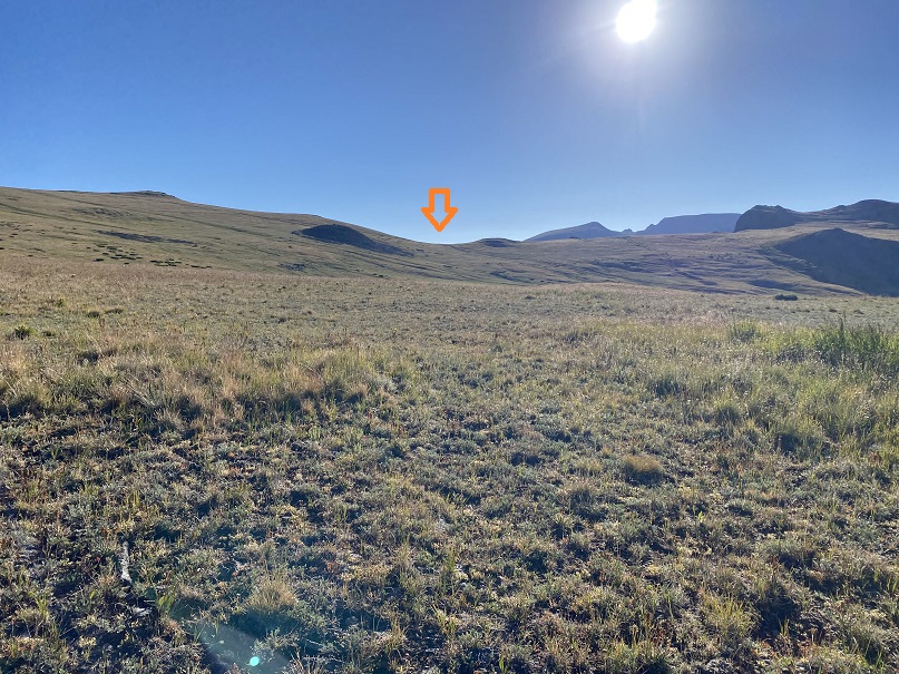
Here’s an overall look at the route out of the basin

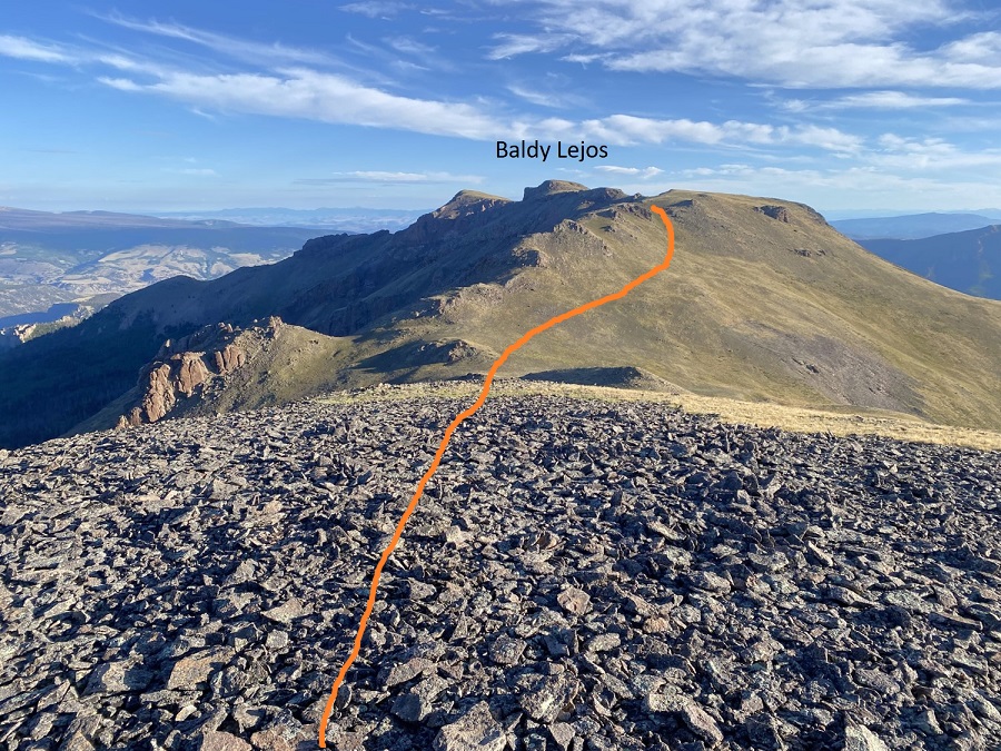
This is the route I took
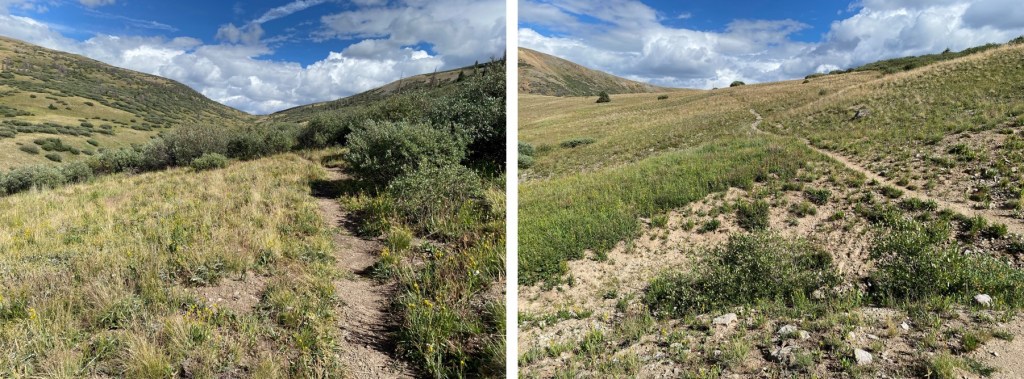
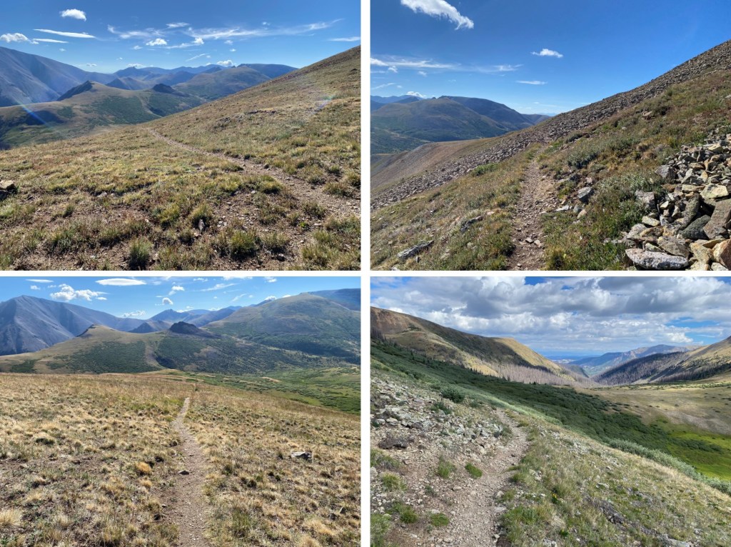
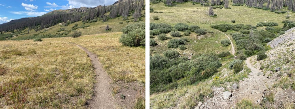
And some step-by-step pictures. Once I was on the ridge there was a faint game trail to follow much of the way back to the road. Unlike you’ll see on CalTopo, there is no road here. I stayed above the willows but below the rock rubble.
Ahead of me I could see two roads in the distance. I was aiming for the closer dirt road

Back on 4WD dirt road 505.1, I followed it east back to the trailhead.

I made it back to my truck at 8:30am, making this a 7.36 mile hike with 1920’ of elevation gain in 3 hours 30 minutes.

On to the next trailhead!