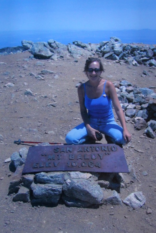
Mt San Antonio, 10,064 ft. 3904ft
elevation gain in 5.1 miles
To date, this is by far the most
difficult hike I’ve ever done. It isn’t
the tallest summit in Southern California, but the exposure and elevation gain
were brutal. It’s also the most fun I’ve
had on a hike thus far, and I came back with some really cool stories to tell! The total hike was somewhere around 11 miles,
but as you’ll see, that’s approximate because we got lost…
Mt San Antonio, affectionately referred
to by locals as Mt Baldy, is the most easily seen summit from most of Southern
California. On the rare instances it’s
covered with snow it’s breathtaking. I’ve
taken many hikes around the base of this mountain, and was eager to make the
summit.

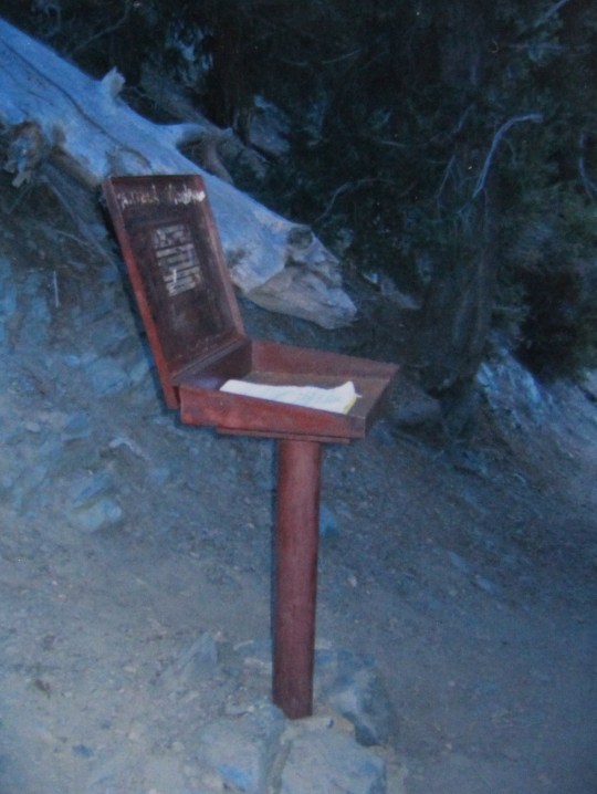
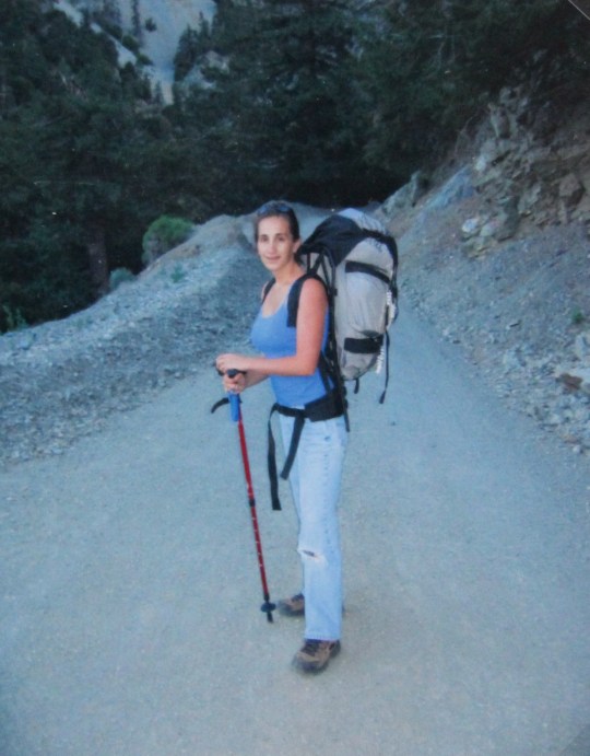
We woke up very early and drove up to
the trailhead, stopping first at Denny’s for an early breakfast. After signing the trail register we were off
around 6:30am.
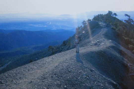
The trail seemed to follow a service
road, and probably a ski run during the winter.
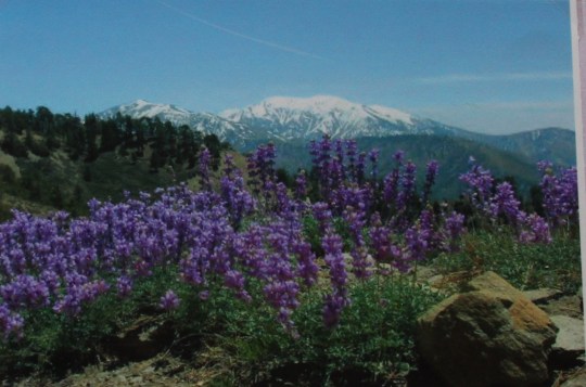
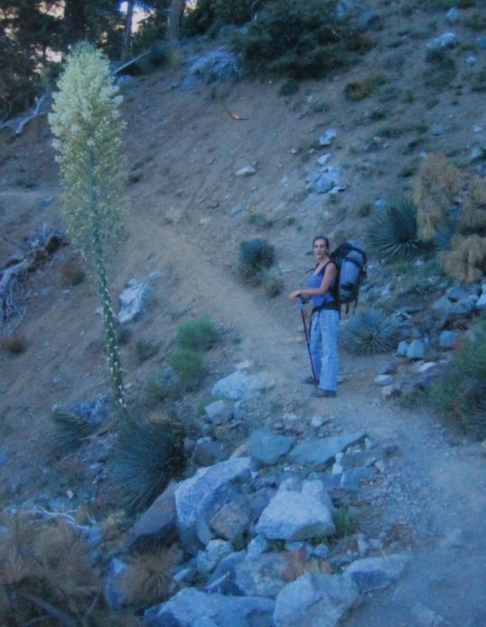
Check out this awesome yucca!
Beautiful!
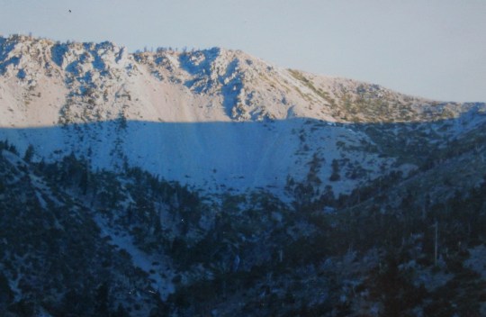
We watched the sun rise around the mountain
as we hiked. It was cool watching the
shadow on the mountainside lower as the day went on.
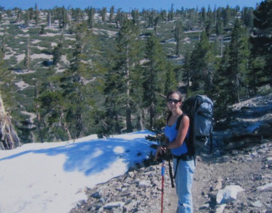
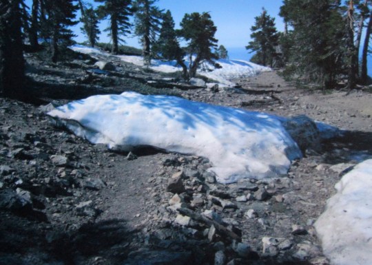
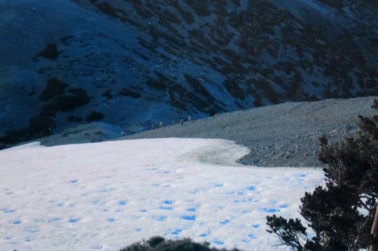
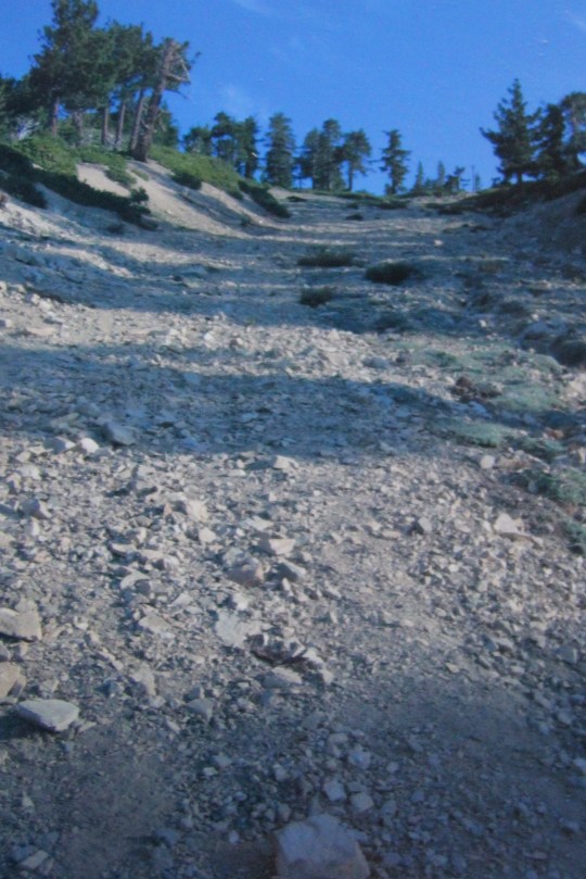
Even though it’s July, there were
several patches of snow along the trail. I found this interesting, since I hadn’t
seen snow on Mt San Gorgonio last September, or much on Mt San Jacinto last
year, and this mountain is lower in elevation.
I didn’t know there could be snow at 9000 feet in July?
As I said before, this hike was
brutal. The elevation gain of almost
4000 feet in 5 miles was a killer! I had
to keep stopping to rest, and couldn’t help but think there had to be an easier
way.
However, summiting felt amazing! Someone had properly placed an American flag
at the summit.

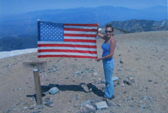
Because it was only a 5 mile hike, we summited
early in the day, and had the rest of the day to “play”. I took advantage of the rare site of Southern
California snow.


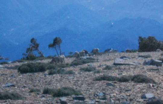
Check out these Bighorn Sheep! They were grazing at the summit. I tried to get closer, but as soon as they
heard me the entire herd bolted to the right.
I was shocked and amazed to watch them run directly over this cliff and
about 1000 feet straight down, out of site!
Wow! Amazing animals! They didn’t come back the rest of the trip.
We only saw one other person on the peak
that day. He was wearing a full backpack,
which seemed odd as he was obviously on a day hike. As he approached the summit we greeted
him. He took off his backpack and
unloaded about a dozen cantaloupe sized rocks.
He smiled sheepishly and said “I’m training for backpacking. I get these rocks from the wash at the base
of the mountain, and unload them when I reach the summit. I’m going to
seriously confuse some future geologist some day. Can you imagine what they’ll think when they
find these here?”
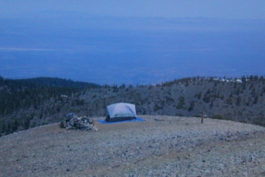
Around 3pm I set up the tent near what
appeared to be a rock wall and decided to take a quick nap before making dinner
and exploring again.
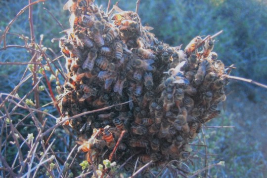
I was only in the
tent for about half an hour when I awoke to a loud buzzing sound. I opened the tent flap and quickly realized I
was surrounded by a swarm of bees! I
dashed outside of the tent and drug it to safety. Apparently these bees lived in the rock
wall. They’d been gone for the day doing
their thing and had come back to rest for the night.
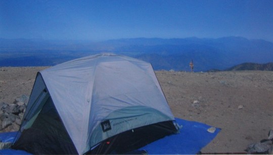
I found a better place to set up
camp. And check out those views!
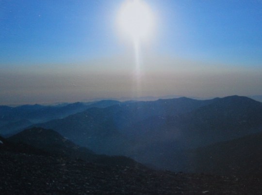
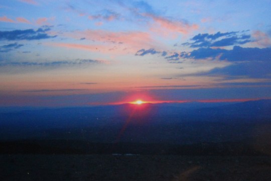
The sunset was by far the best one I’ve
seen to date.
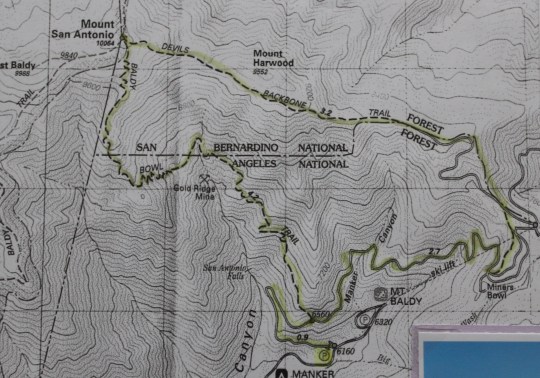
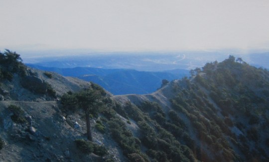
We were completing a loop, so the next
morning after breaking down camp we headed west down the Devil’s Backbone,
aptly named.
Somewhere along Miner’s Bowl we lost the
trail, or it disappeared on purpose? Even
after studying the map several times I’m not exactly sure which, but I could
tell where we were, so we descended the obvious ski slope until we found the
trail again.
All in all, this is my favorite hike so
far. It was intense, but summiting early
allowed me to really enjoy the mountain.
I’m so glad this wasn’t just a day hike!
