RT Length: 8 miles
Elevation Gain: 3100’
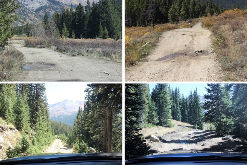
The road past the La Plata Trailhead is 4WD the entire way to the upper trailhead. In fact, I felt the second 4WD portion was easier in many places than the early 4WD portion. Only one area gave me pause, about half a mile from the 394 junction. The dip in the road was bigger than it looked, wasn’t anticipated and caught me off guard.
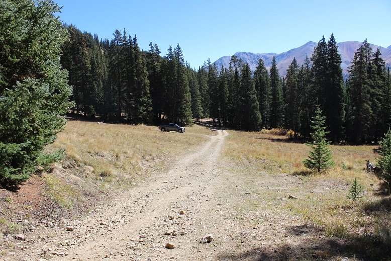
I parked in a grassy area just before reaching the gate and started out at 5:45am.
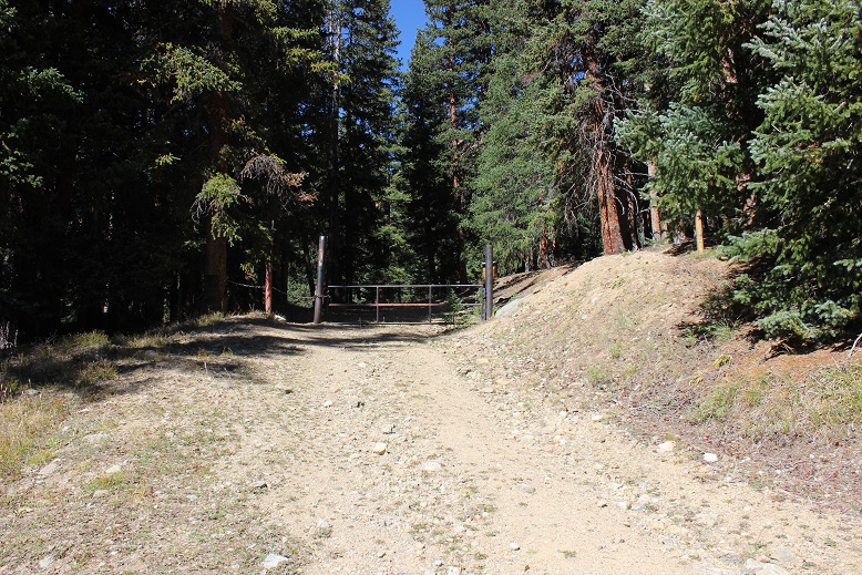
The gate was locked and it didn’t look like anyone had driven on the road past the gate in quite a while. This is where the trail starts.
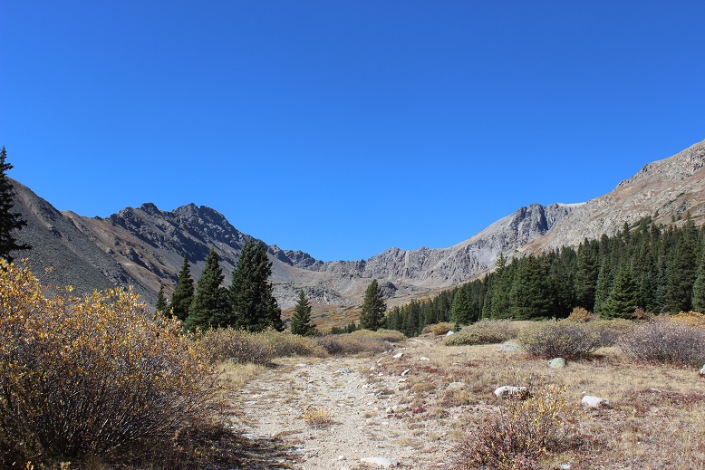
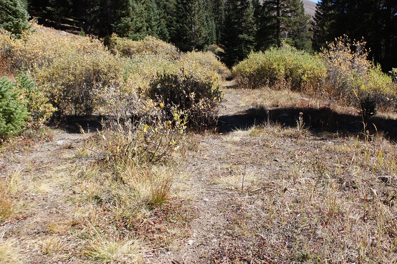
Follow the road west into McNasser Gulch. Almost all of this trail is above treeline, but until you make it to the mine you’re on a trail overgrown with willows.
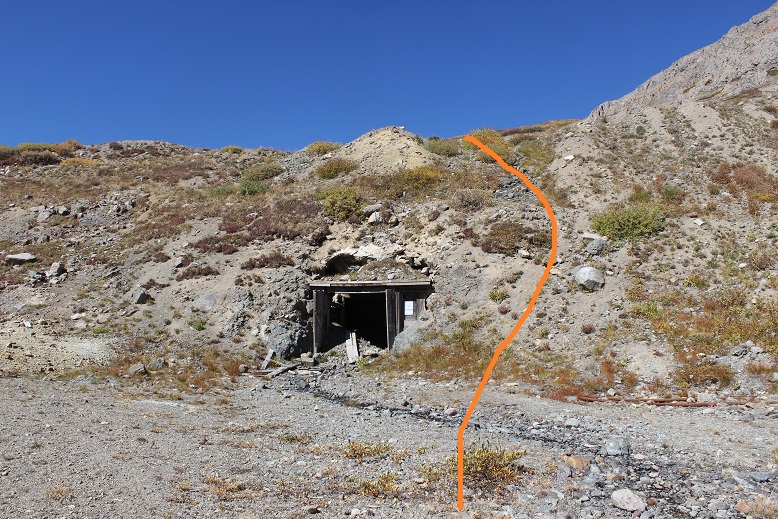
The mining area is at 12,100’. It’s boarded up pretty well, but still looks neat (and operational?).

The trail in this area gets kind of fuzzy, but it picks back up again directly over the mine (so make your way around it and head west/northwest/right).
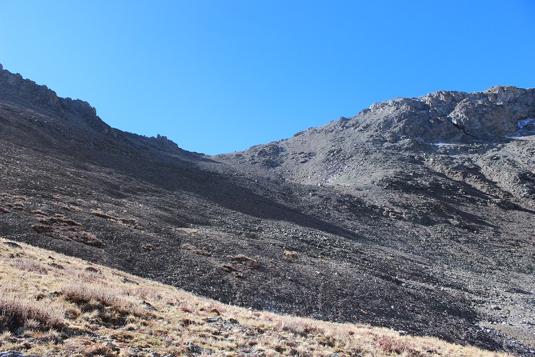
From here there is no trail. Head northwest through the basin towards Grizzly Peak.
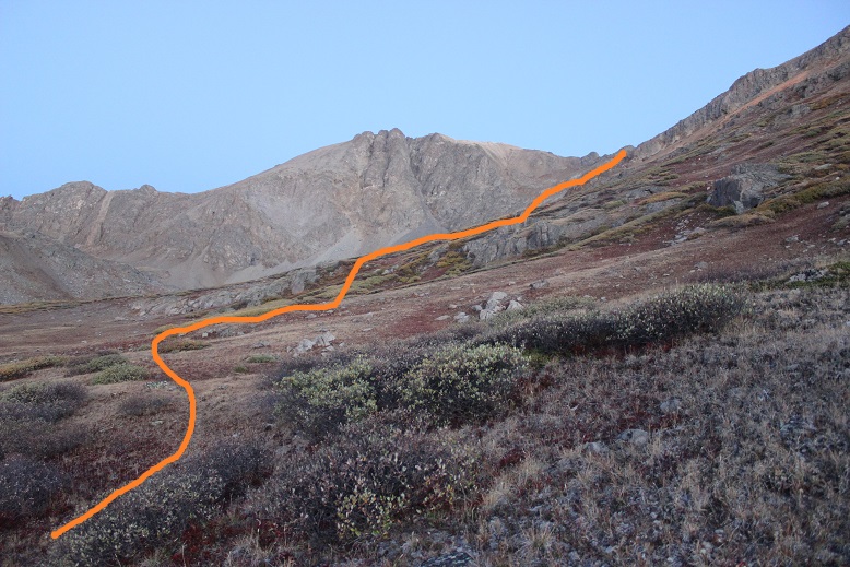
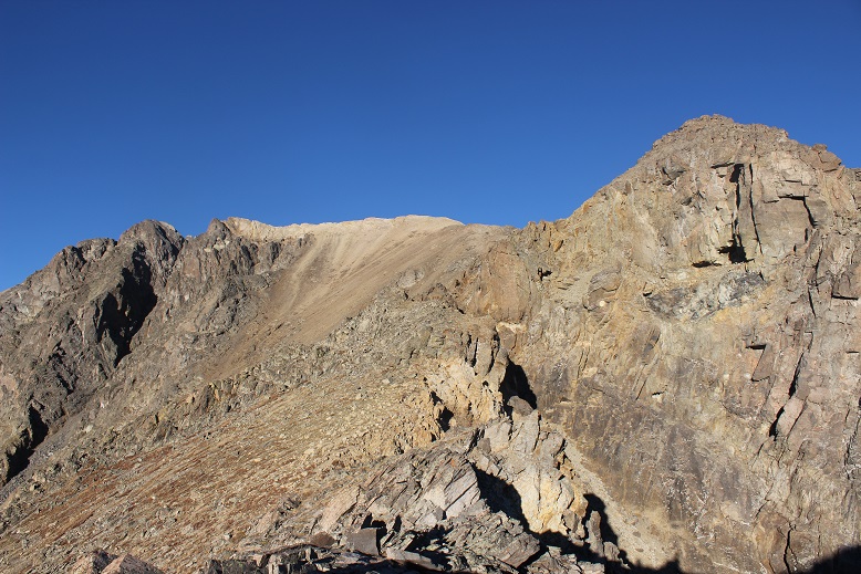
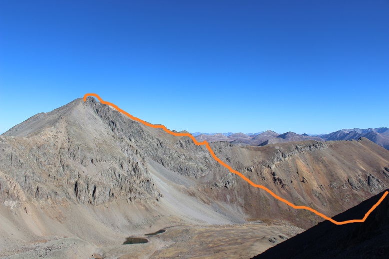
After rounding the basin and heading northwest (right) you aim for this bump:

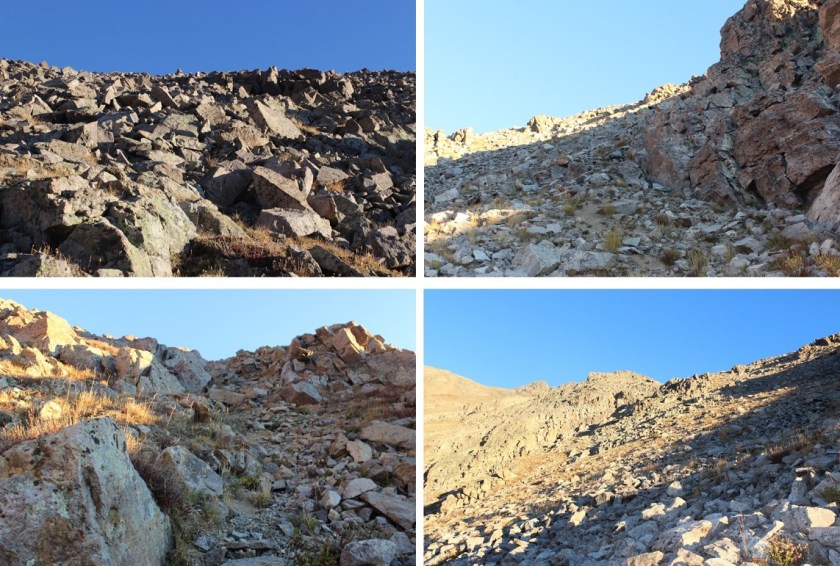
The terrain is much steeper and rockier than it looks. The ground was full of loose sand/scree.
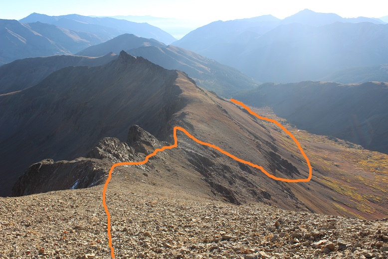
Once you make it to the saddle turn left (west and follow the ridge).
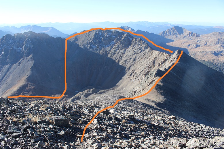
This is done by initially sticking to the ridge crest and then skirting the 3 gendarmes to the left before regaining the ridge and following it to the top. Here’s the view looking back at the route so far
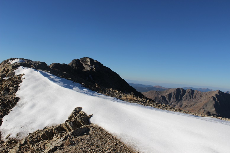
There was just a little bit of snow at the top
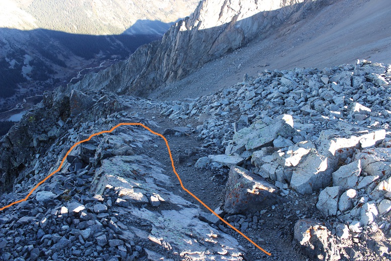
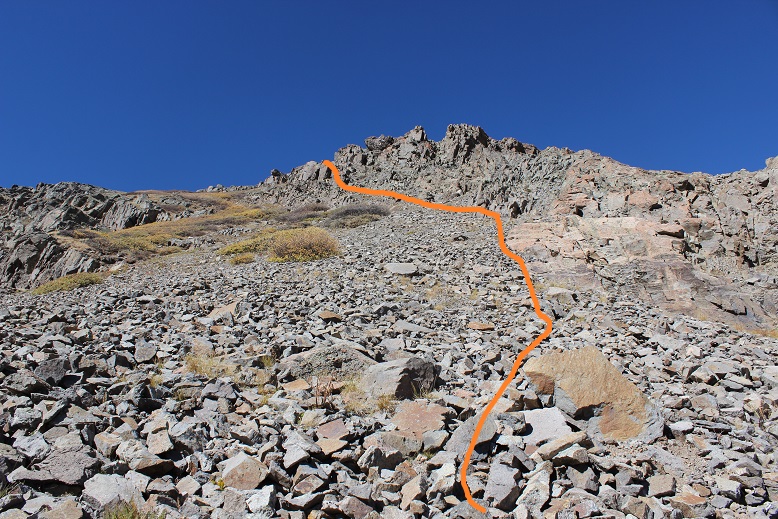
The rest of the route to Grizzly is only .2 miles. I followed the ridge to the south. There was an established trail here.

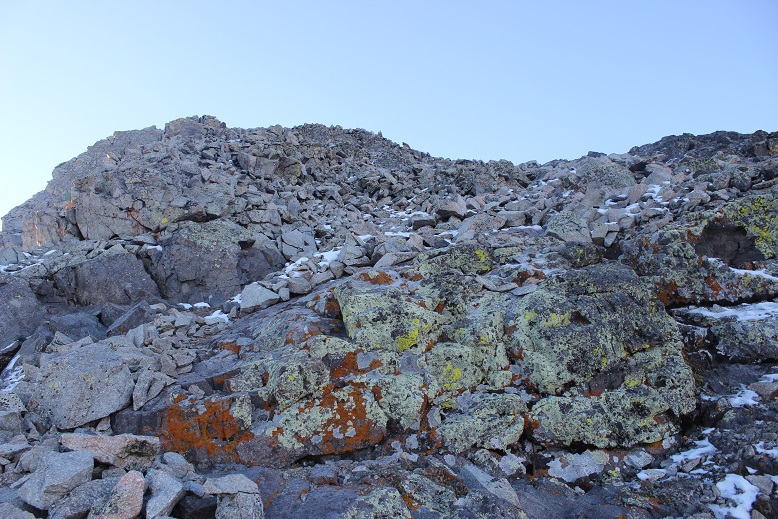
The final pitch was loose and made up of bowling ball sized unstable rocks but easy to navigate
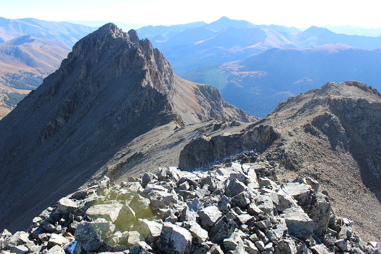
Here’s a view from Garfield looking at the route up Grizzly
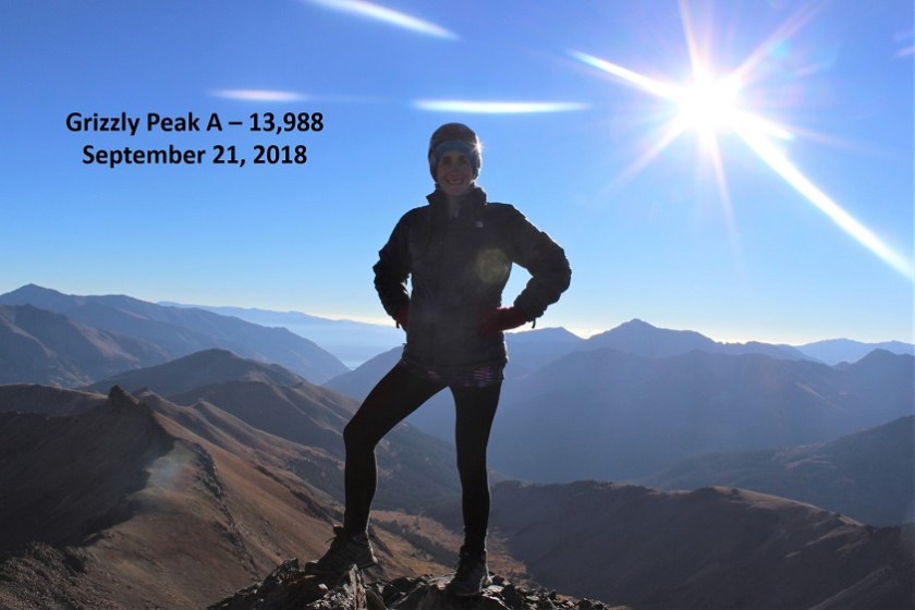
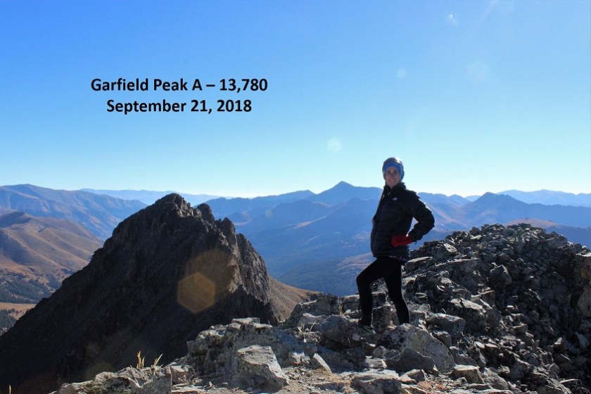
I summited Grizzly Peak A at 8:10am
Here’s a picture of Garfield from the summit of Grizzly.

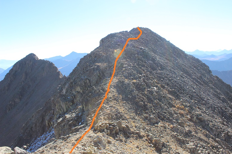
To get there you need to re-trace your steps, but not far. Head back the way you came and about 20 steps down from the summit you’ll turn left (south).
I had to do one class 3 move to get down this part of the ridge, and after completing it realized there was an easier way. Here’s the route from the Grizzly/Garfield Saddle
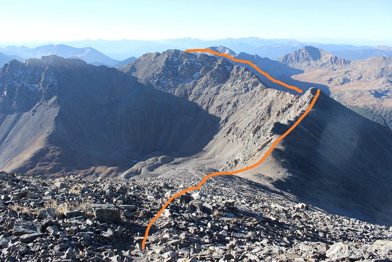
I followed the trail along the ridge and behind point 13,650. After rounding 13,650 (to the right) I followed another trail around the south slopes and gained the ridge.

From the ridge I climbed to the summit (no trail on this part)
I summited at 9:20am
I was done summiting both peaks for the day, but from here the route actually became more difficult. I had a hard time finding a decent path off the summit of Garfield. I’m sure it was a height thing on my part. I could tell where I was supposed to downclimb, but it was a class 4 downclimb I needed a few more inches to be able to achieve. This was very frustrating. I had to backtrack and look for an easier way to Garfield’s Gully. Here’s where you’re supposed to leave the ridge
I eventually made it to the saddle. From here you strap on your microspikes and head straight down. There are a lot of trails down, and they all lead into the basin.
This was some of the worst scree I’ve ever encountered. I was so glad I’d chosen to do Grizzly First: there’s no way this would have been enjoyable trekking up (in the snow however it might be easier). If you’ve done the gully on Pyramid or the decent off Bross, this is worse.

It descends 1000’ to a small lake, but just when you think you’re finished with the scree you gain a small ledge and there’s tons more (so don’t get too excited the first time you think the scree’s over).
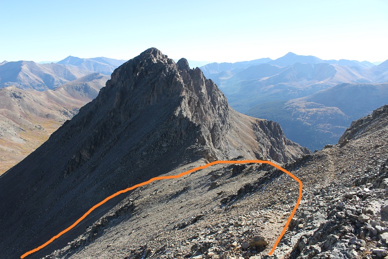
My advice is to aim (right/northeast) for the rocks near the grassy area. The rocks are stable, where nothing in the gully was. I took the gully and had large rocks tumble down from above me and I had to take cover several times (no one else was out there today, these rocks were just free falling from above). Here’s the route I took (as seen from Grizzly).
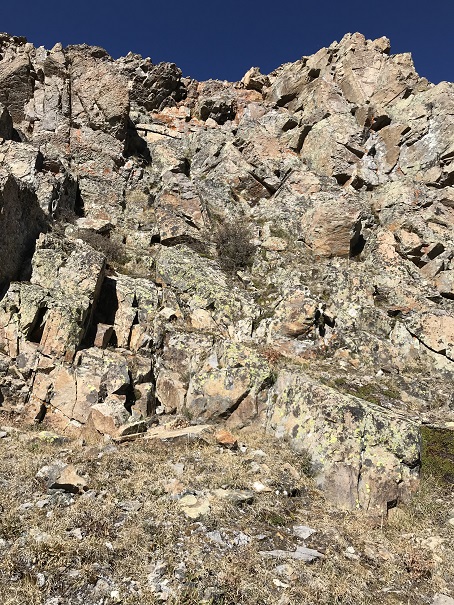
When you reach the grassy basin your troubles aren’t over yet. There’s more scree to traverse, or you can choose to downclimb rock ledges. I’d had it with the scree, so I downclimbed the class 3 & 4rock (which led to more loose talus)

Here’s a look back at what I downclimbed
And a closer look at the climbing
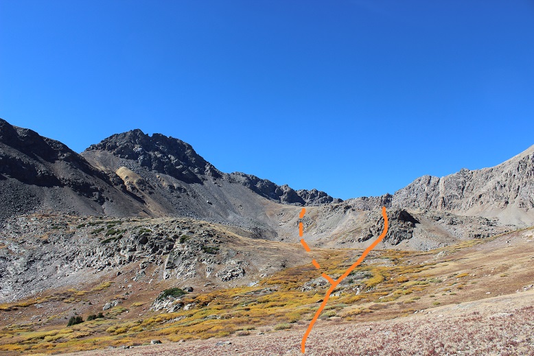
Here’s another look at how I came out of the basin. I took the solid orange line (rocks) over the scree route (dotted)
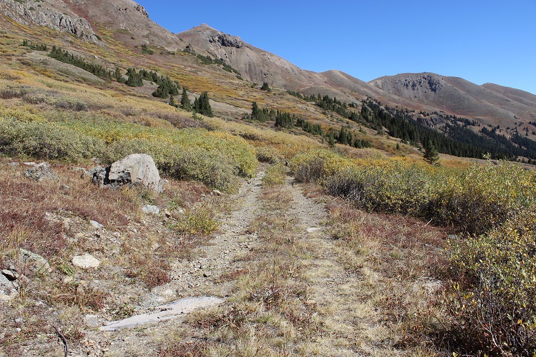
The good news is after this the hike got really easy! I just crossed the stream and followed the basin back to the mine, where the 4WD road picked back up.
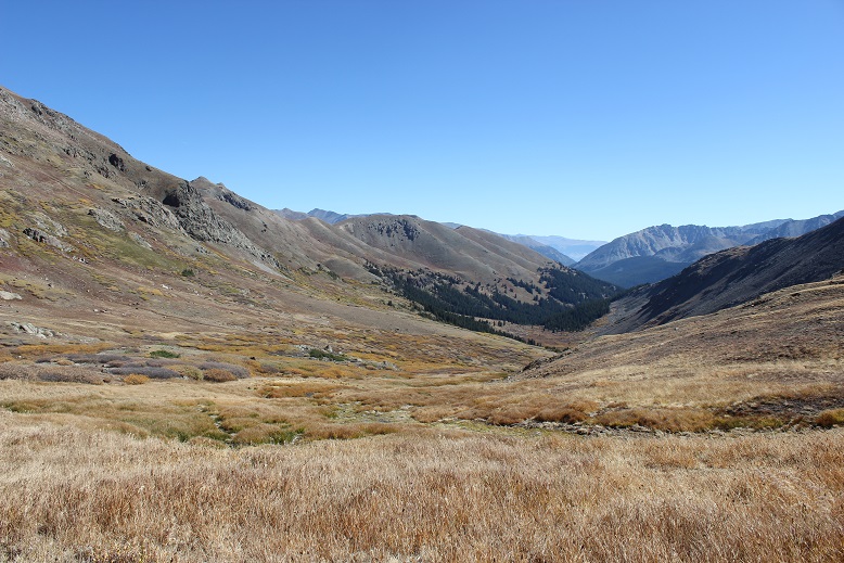
Here’s a look back at the basin
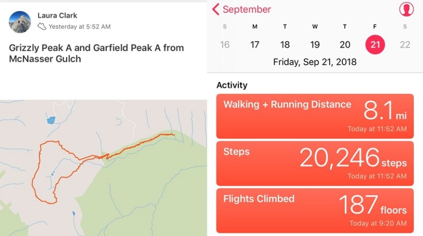
I made it back to my truck at 11:30am, making this 8 mile climb in just over 6 hours
Oh, and the drive home was beautiful!
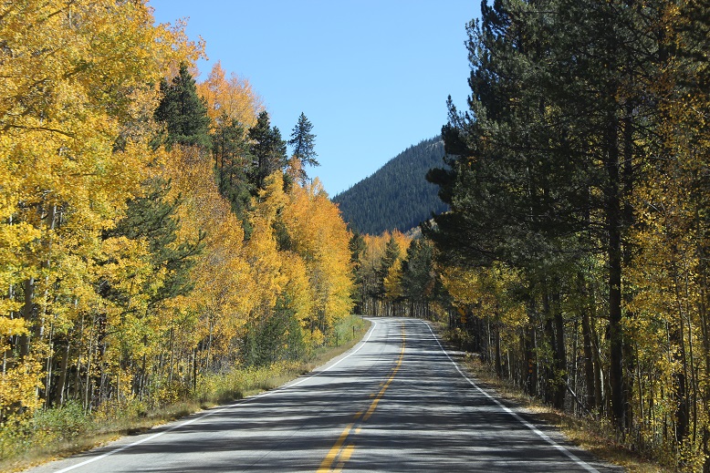

The best part of your mountain hiking this very day was the tree lined drive back home.I really love that view of the road. Your activity chart is all so important to other viewers as myself because it shows your exceptional determination even in hazardous climbing conditions. When I read of your mountain exploits,I come to the shameful conclusion that I would never be able to accomplish any of the feats that are nothing but joyfulness in your eyes. Thank You Miss Laura for showing all concerned,The Route To Your Heart.
LikeLike