
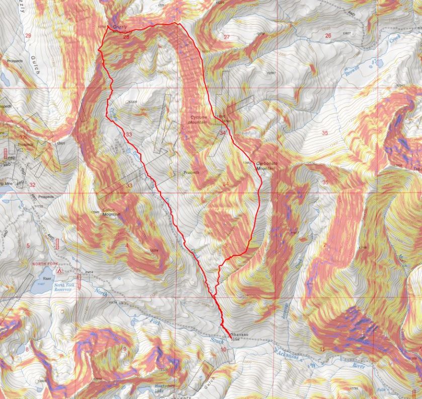
RT Length: 8.75 miles
Elevation Gain: 4090’
I made it to the 1 vehicle trailhead early the day before after hiking another peak in the area. I had a lot of time to kill before heading to bed for the night and enjoyed every minute. The Cyclone Creek Trailhead is located at 10750’, where the Cyclone Creek and CR 240 meet. It’s located 8.25 miles after turning onto CR 240 from HWY 50. The road is 4WD (not too rough, any stock 4WD should be able to make it).
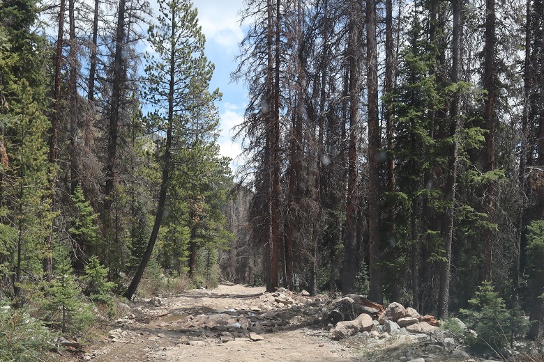
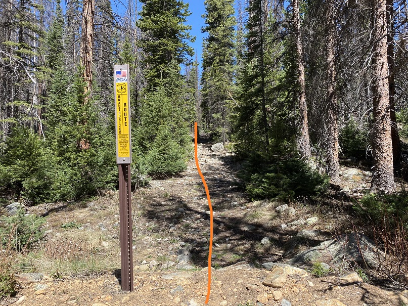
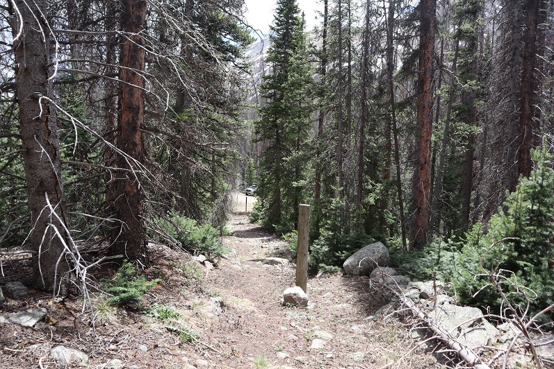
Since I made it here early I decided to check out the area. The trail starts just on the other side of the road, but isn’t marked well. In fact, the sign just says “closed to motorized vehicles”
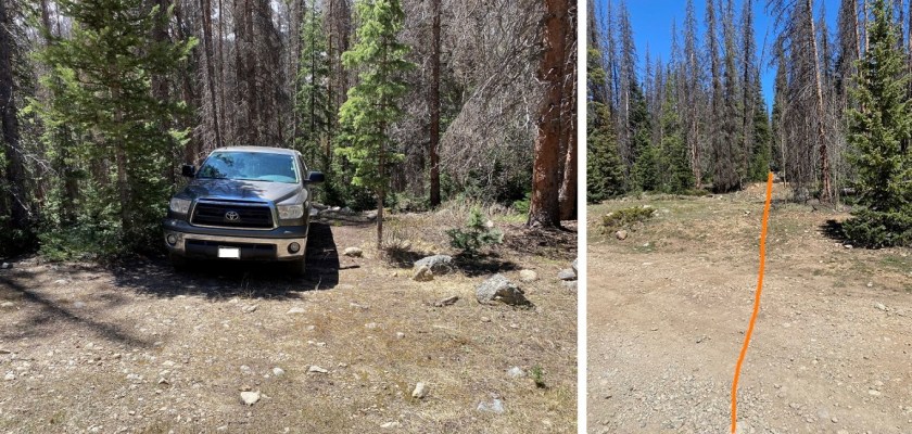
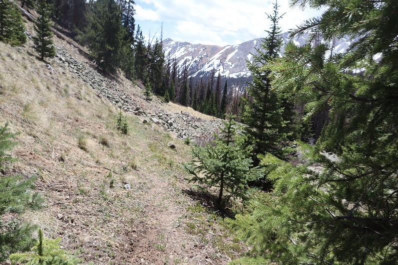
I woke up at 2:45am and was on the trail by 3am. The trail started out decent, but quickly deteriorated and became difficult to follow.
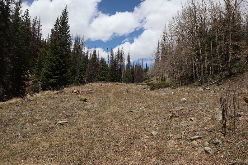
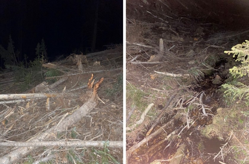
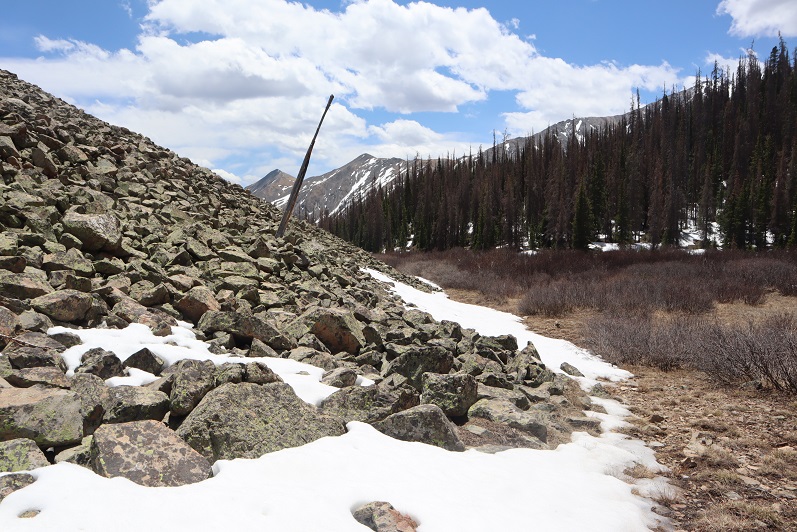
After hiking for about half a mile I turned right (east) and headed up the side of the mountain. There was no trail here and it was dark so route finding was tricky, especially in the avalanche area (11,150’). I found a small stream and followed it until it went away, right at about treeline
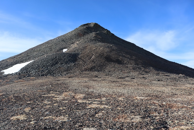
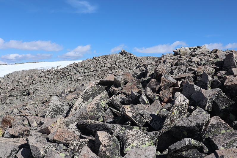
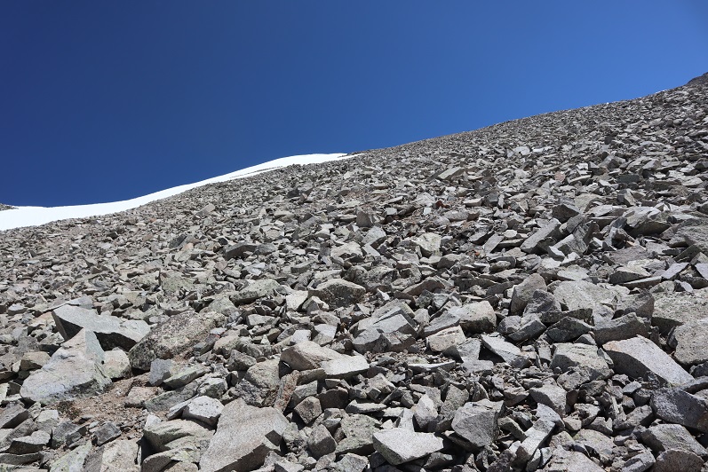
Here the terrain became very, very steep (scree) and at times I crawled to continue moving forward. The wind was intense and cold, cold, cold. My nose started dripping like a faucet and yes, that’s snot you see on the lens at the bottom of the next few pictures. The scree gave way to some of the loosest talus/rubble I’ve ever experienced as I made my way towards the ridge thinking “there has to be a better way to ascend the ridge than what I’m doing, there just has to”. I probably would have altered my course a bit if it were daylight and I could see.

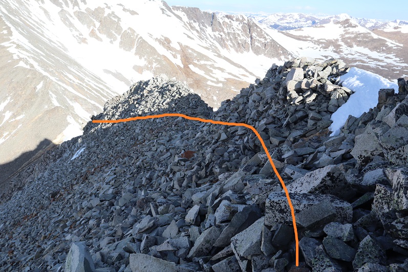
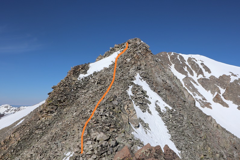
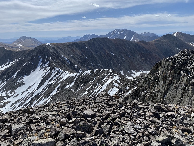
This ridge seemed to last forever, with a few small false summits
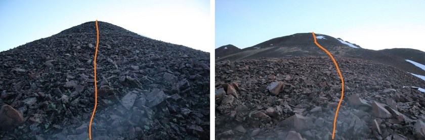
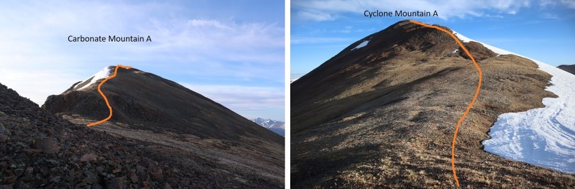
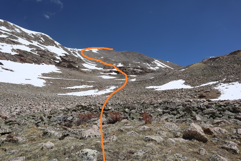
I’m not sure I’d ascend Carbonate this way again: I’d instead ascend the ridge to the right (start ascending directly from where I parked my truck). Here’s looking back at the way I ascended. The dotted line is how I’d do it if I were to do this again.
I summited Carbonate Mountain A to frigid winds that just wouldn’t quit. There was a summit register, but I didn’t even try to open it.
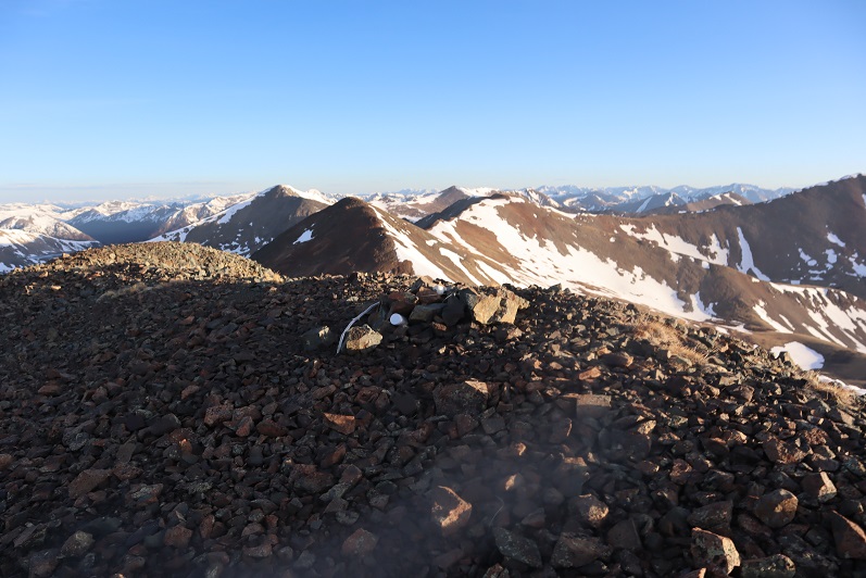
I couldn’t feel my lips or fingers and decided I’d just take a quick selfie with my camera and not stop to set the camera up for a better shot. This is also when I noticed the snot on my camera lens and cleaned it off…

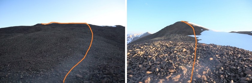
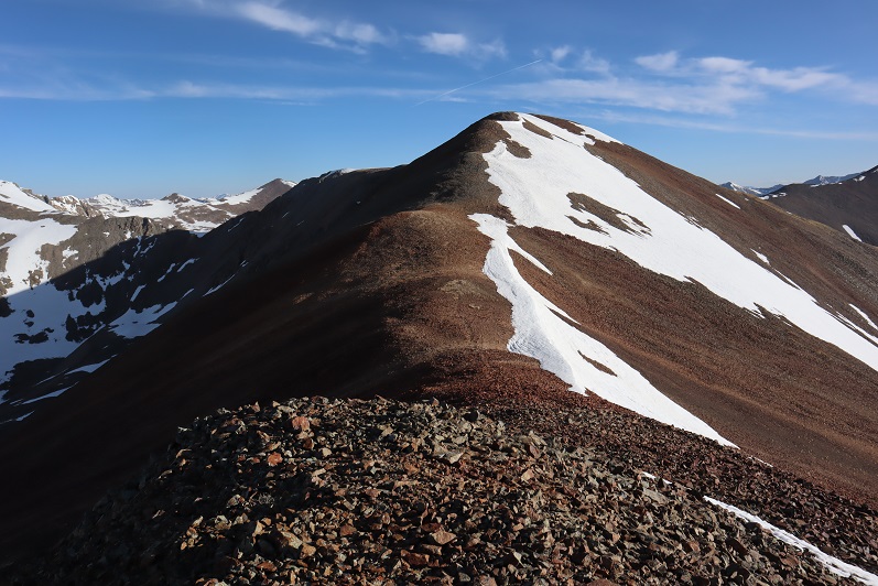
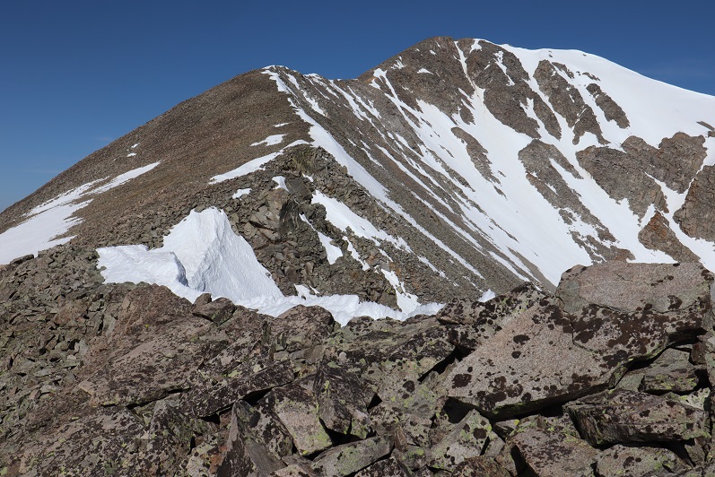
I needed to keep moving and I needed the sun to warm things up and the wind to die down. The only thing I could control was my pace, so I kept moving. I followed the ridge north to Cyclone. The terrain was full of loose rocks but was straightforward

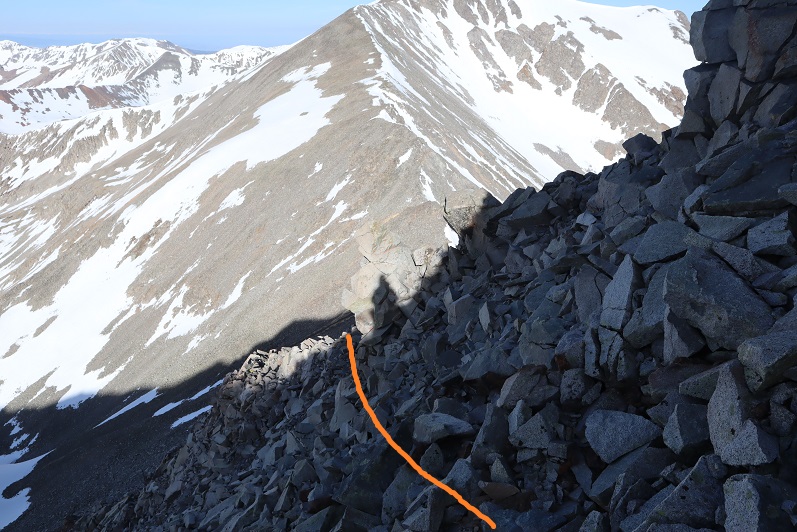
This was easier than it looked and didn’t take much time. Here’s looking back at the decent off Carbonate Mountain, and the ascent route up Cyclone Mountain
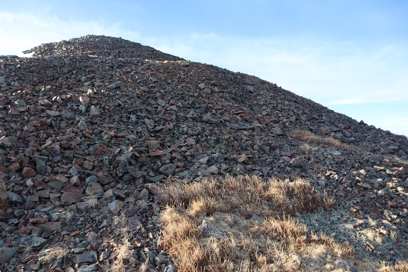
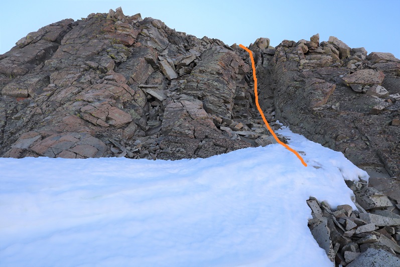
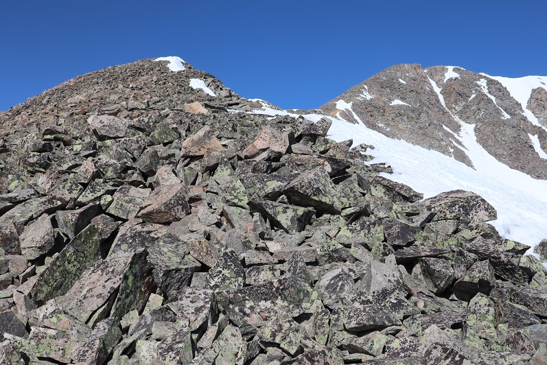
Somewhere along this route I stopped to put on my balaclava, and things immediately warmed up a bit. Here’s the talus filled final push up Cyclone
There was a summit register but it was open and empty. The wind hadn’t stopped but I was a tad bit warmer. I set up the camera, but only took one shot. This is what I got

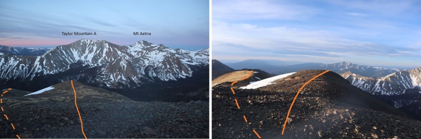
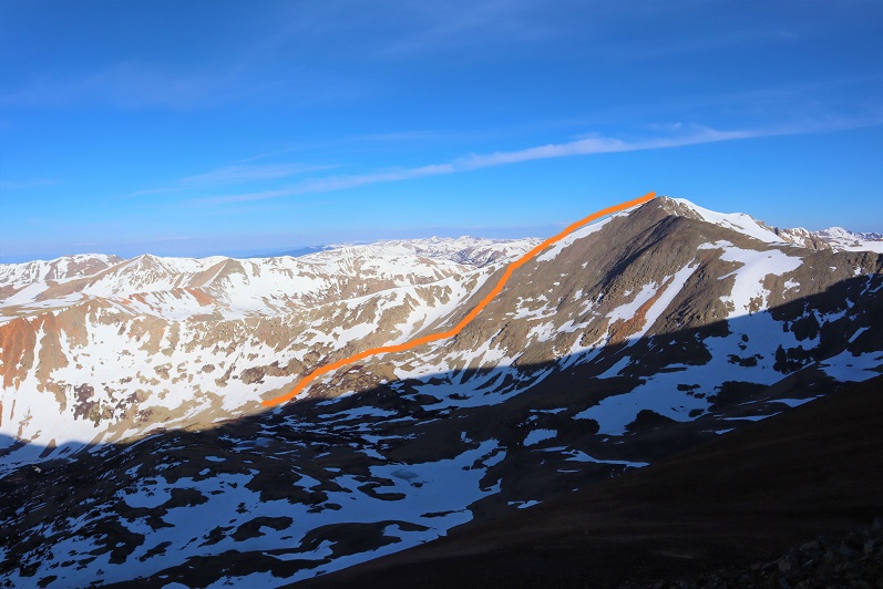
Here’s the route to Grizzly Mountain. I was especially concerned with the area circled in red, as that’s the scrambling section and I was worried it had some snow I couldn’t see from my view atop Mt Aetna yesterday.
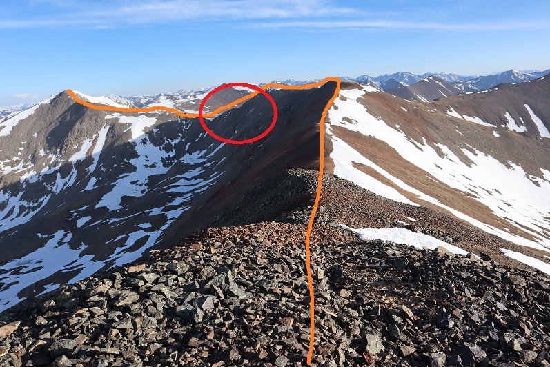
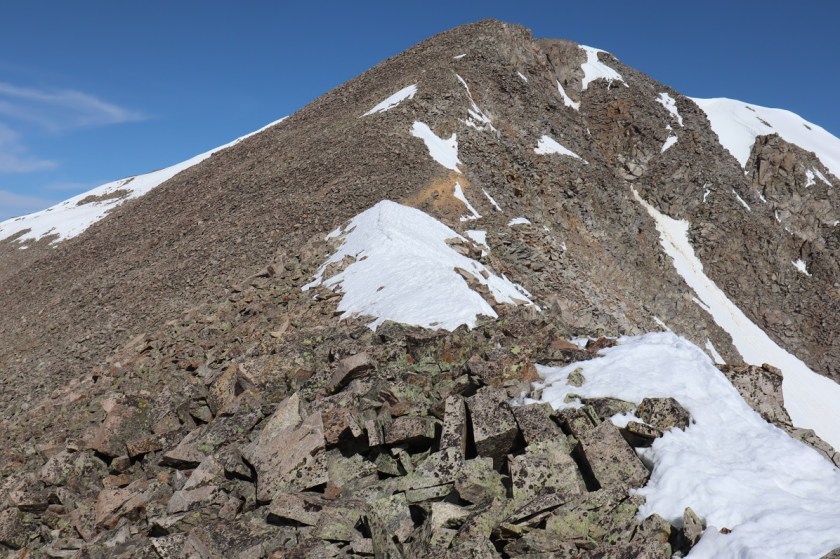
It looked good from this angle. I kept going, looking for possible bail out routes should I need one. I descended Cyclone Mountain, which was once again composed of steep and loose rubble
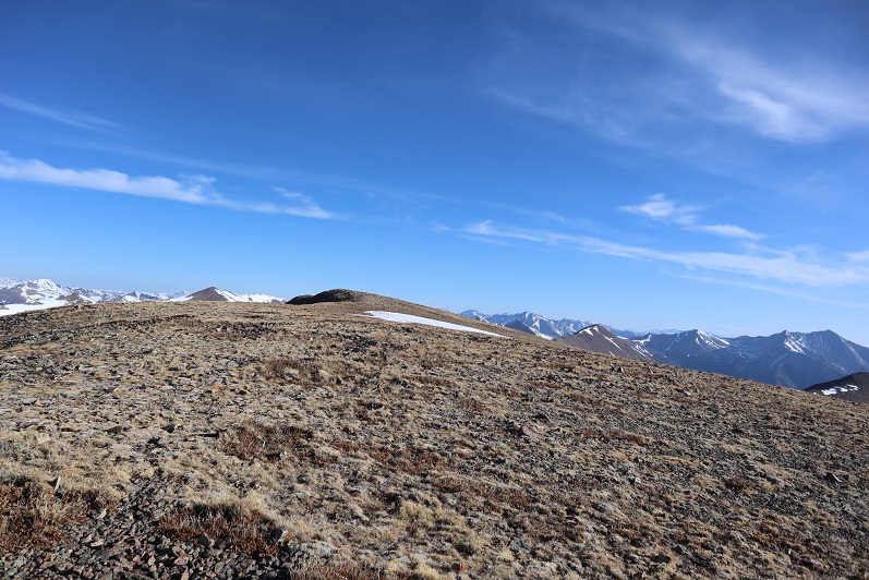
The rest of the trek was on more stable ground as I headed towards the traverse.
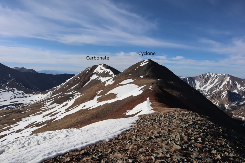
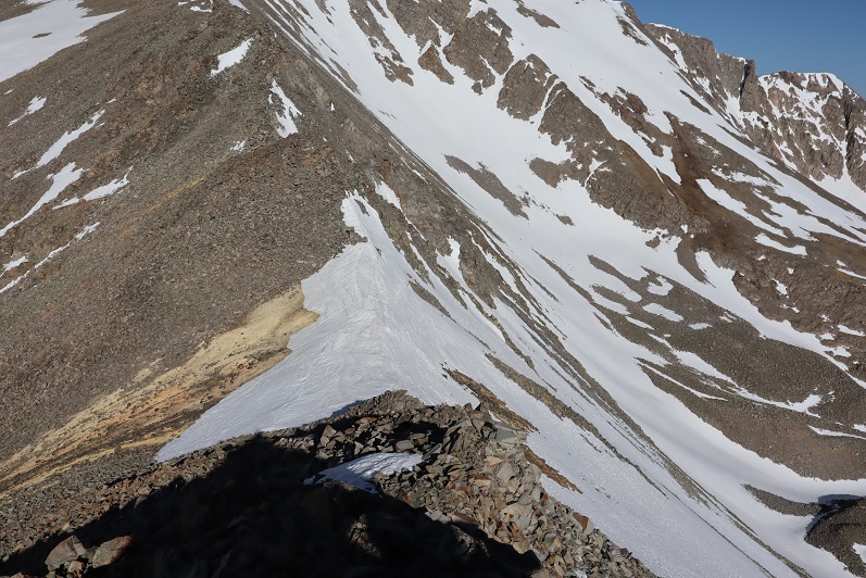
Here’s looking back on Carbonate and Cyclone
From the beginning the traverse over to Grizzly Mountain doesn’t seem that intimidating

But as soon as you round the first corner things get interesting. I began by sticking to the ridge

But that quickly became impossible. The rock here is very, very loose, large, and ready to fall. There are tons of rock-filled gullies and route finding can be tricky. I stayed to the left of the ridge the entire time because the right side was full of varying amounts of snow. I definitely experienced some class 4 sections. Here’s the way I went:
Here things got spicy, as I encountered a gully with several options for descent. There seemed to be three possible lines. I felt the safest route was the middle route and aimed for the snow

It’s steeper than it looks. Here’s looking back at the route I took. I’m thinking it was about 35 feet of downclimbing
I continued to make my way down towards the snow filled saddle. Luckily it was firm and easy to cross. I breathed a big sigh of relief when I made it here, but the dangerous part wasn’t over yet
Here’s an overview of my way to the saddle (looking back on my route)

The rock was still loose and I had to be careful to triple check every hold so as not to dislodge a rock. I went slowly here, carefully choosing my route.

Here’s the final route up Grizzly. The terrain became more stable as I continued, but the rocks were always loose

I summited Grizzly Mountain at 9:30am.

Grizzly Mountain Summit:
Here’s a look back at the ridge traverse as seen from the summit of Grizzly Mountain
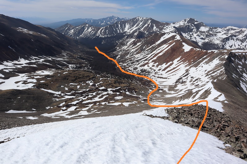
While on the traverse I’d studied my intended route down. I was able to avoid most of the snow to head down into the basin.
While avoiding the snow I instead descended on scree and loose rock: I wasn’t sure which was worse, the ascent up Carbonate or the descent down Grizzly. I took it slow to avoid rolling an ankle and headed towards the basin. Here’s the route out:
I did have a little snow to contend with, but only for about 100 feet or so. The conditions were perfect to cross without traction.

Here’s a look at the rubble
And a look back at my descent route.
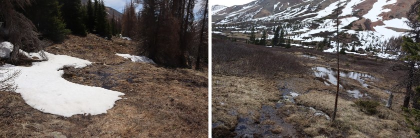
Once in the basin I knew I wanted to stay just to the right of the trees and follow the creek back to my truck. There was supposed to be a trail here, but I was unable to see it from above. Either that or it was under one of the dozens of small streams of water. What I hadn’t known until I’d made it down into the basin was the ‘dry’ area between the trees and the creek was actually a boggy mess! The mountains were melting out. It was impossible not to get my feet wet. For a while I tried hiking in the trees but the snow was just soft enough to make postholing miserable and snowshoes overkill. So I stayed in the marshy area, following game trails through the willows. I even saw two elk bounding away from me as I sloshed along.
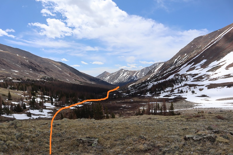
I passed an avalanche area (not the same one as in the morning) and rounded a small boulder field, always keeping the creek to my right
In this area I was almost done with the hike but somehow I came across an actual trail and followed it back to my truck.
I made it back to my truck at 1pm, making this an 8.75 mile hike with 4090’ of elevation gain in 10 hours.
Looking from Mt Aetna, here’s an overview of the route

And my topo

There is always much to be said about Your mountain excursions and the many trials You put Yourself through.I’m always glad to know that You arrive safely at Your home without much injury to Your physical well-being. It’s an added attraction to see You provided a little comfort to Your travels by way of a truck cap for sleeping and a place to stretch out while waiting for Your next mountainous adventures.Would like to add a few more words to Your article but must get on the road to cover at least 1,000 miles in about 15 hours.I truly do love it on the road.The only state that I have never driven is Hawaii.Was an OTR driver and the only thing I disliked were truck-stops.I prefered to purchase my meals from the grocery store and eat in my sleeper.Had a microwave,frigerator,coffee pot and oter amenities that most professional drivers have within their rigs. Thank You Laura fo sharing these special moments with others. I look forward to Your next postings.Thank letting me know that You still enjoy a sip of whiskey from time to timeas do I with a cold Colorado Native Amber beer.I still prefer Oakspire,but that is a seasonal beer,hard to come by. Happy Trails Miss Wild Wanderer. THANK YOU
LikeLike