
RT Length: 12.93 miles
Elevation Gain: 3987’
The Cooper Creek Trailhead is located about a mile past the Silver Creek/Grizzly Gulch trailhead on 30 past Lake City. There were cars parked and camping at the trailhead, so I parked at a dispersed camping spot right next to Cooper Creek.
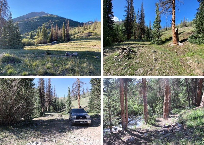
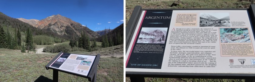
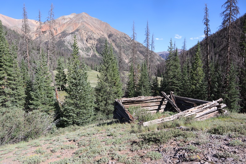
It was still early so I decided to take a look around. The Cooper Creek Trailhead is located in the historic town/settlement of Argentum, and there were still some old structures in the area.
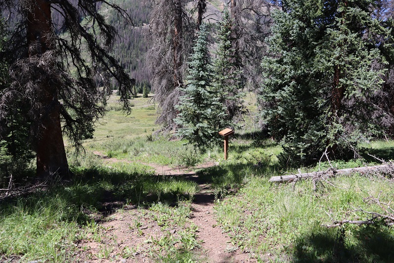
It was an uneventful night. I slept soundly until midnight, when campers at the spot across from me returned from their outing. They weren’t loud, but they did wake me up. I went back to bed and didn’t wake up again until my alarm went off. I was on the trail at 5am. The Cooper Creek Trailhead is just to the west of Cooper Creek, visible from the road.
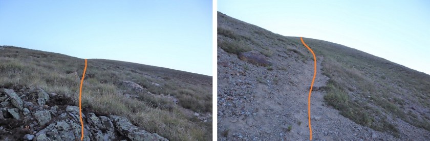
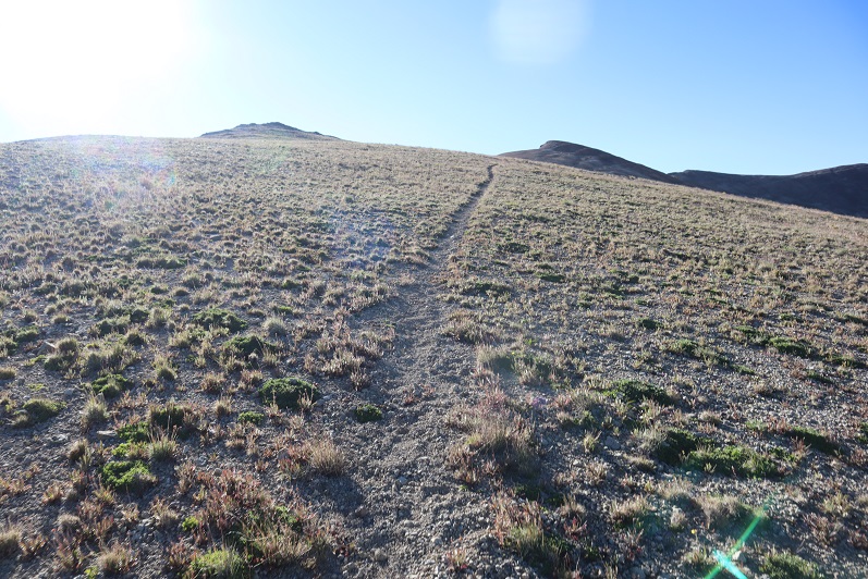
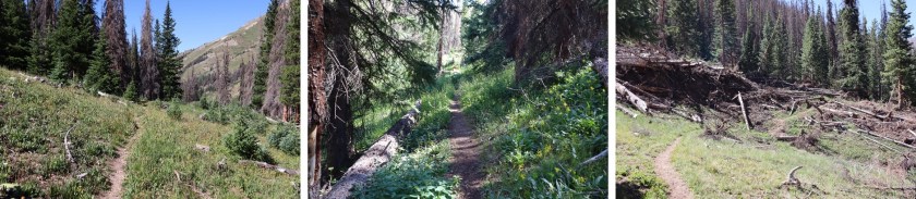
The trail is class 1 for the first 3 miles, and seems to follow an old mining road.
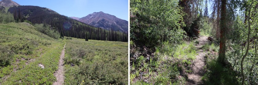
After hiking for 1.5 miles the trail crosses Cooper Creek, just where an overturned trailer sits in the water. It looks like it’s been there for a long time.

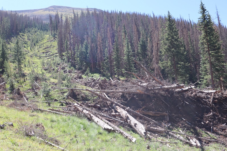
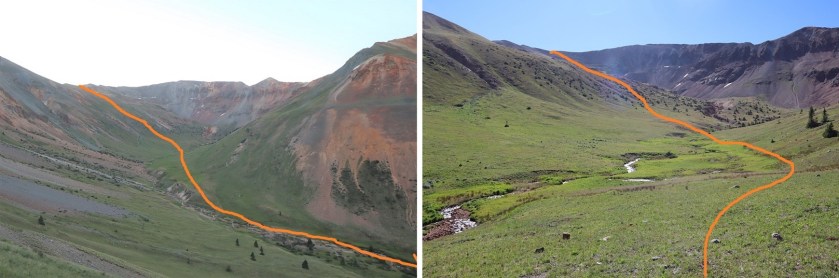
The trail continues to follow the creek up to the basin, passing a fresh avalanche area (there was still snow under the trees, but there was a clear path to follow)
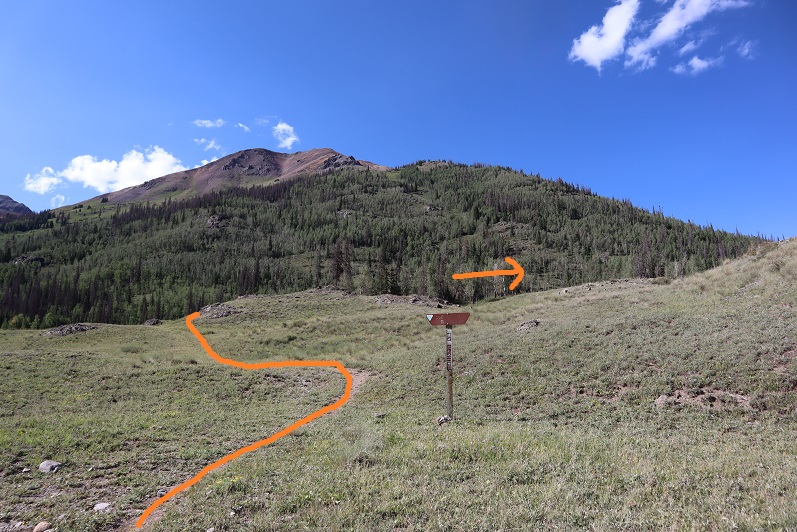
After 3 miles of hiking along this class 1 trail it abruptly stopped. I crossed the creek and headed northeast along the mountainside, eventually picking up another class 1 trail (I’m not sure where it had started, as I crossed the creek at a couple of cairns and must have missed the trail)

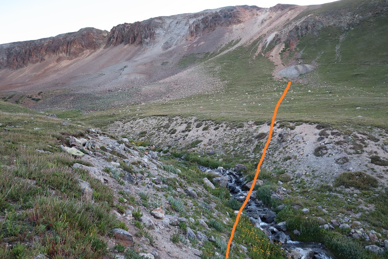
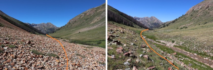
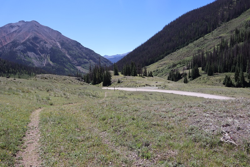
The trail eventually leads to a lake in the upper basin (going left), but I didn’t follow it that far. Instead I crossed Cooper Creek one more time and headed towards an old mine to check it out. If you don’t want to check out the mine, here’s the overall route to gain the ridge.

The creek crossing was simple
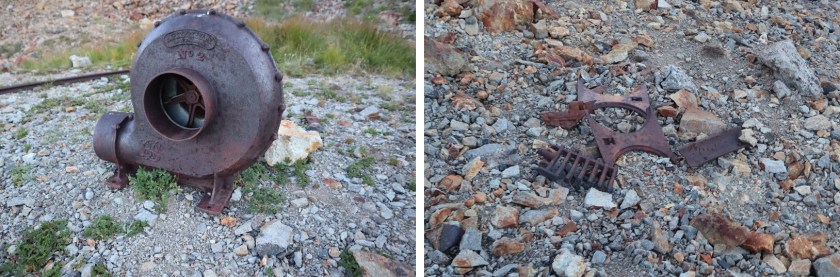
The mine was filled in, but there were some pieces of equipment lying around.
I turned around and noticed 2 tents set up along the trail that leads to the lake and a couple other 13ers in the area. It was just starting to get light so I decided to be quiet as I gained the ridge. Eventually I found a trail here that led to the ridge as well (it actually goes up and over and down into the basin on the other side of the ridge)
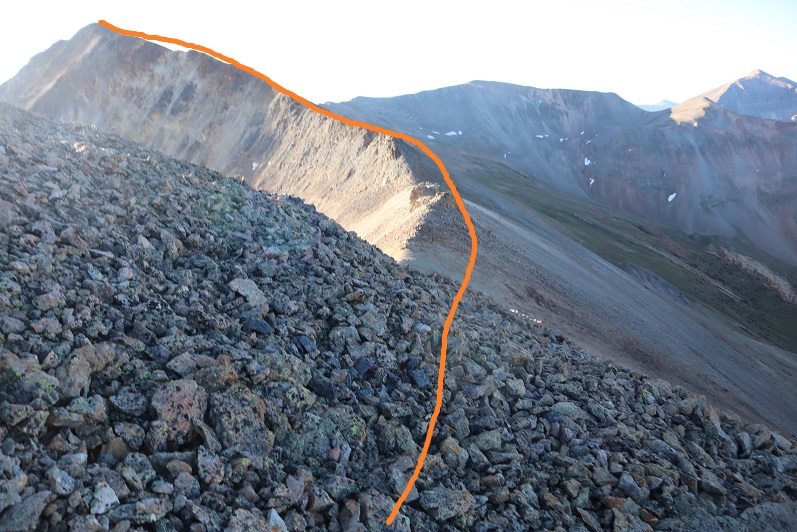
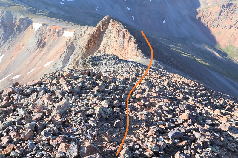
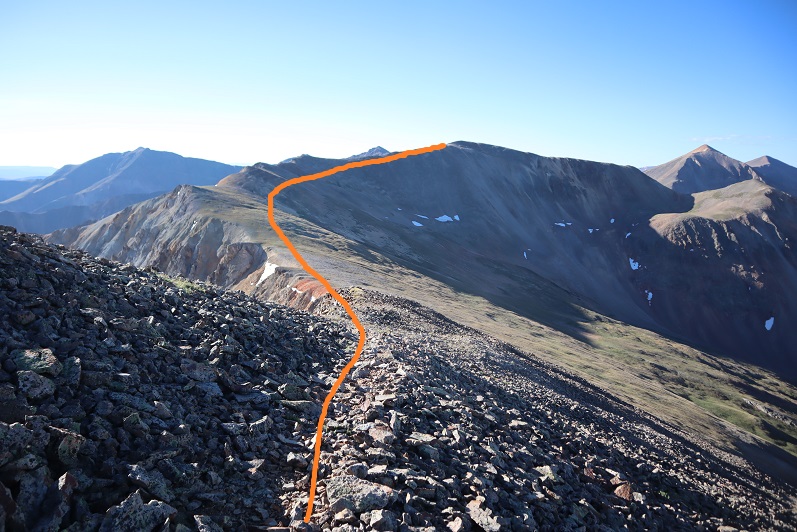
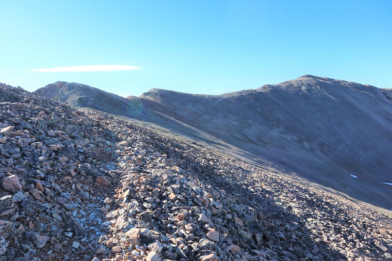
Once I gained the ridge I turned right (east) and followed the ridge towards a false summit.

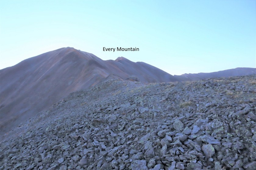
After reaching the false summit it was a half mile hike along the ridge to the actual summit. This was class 2, with no real obstacles to overcome.
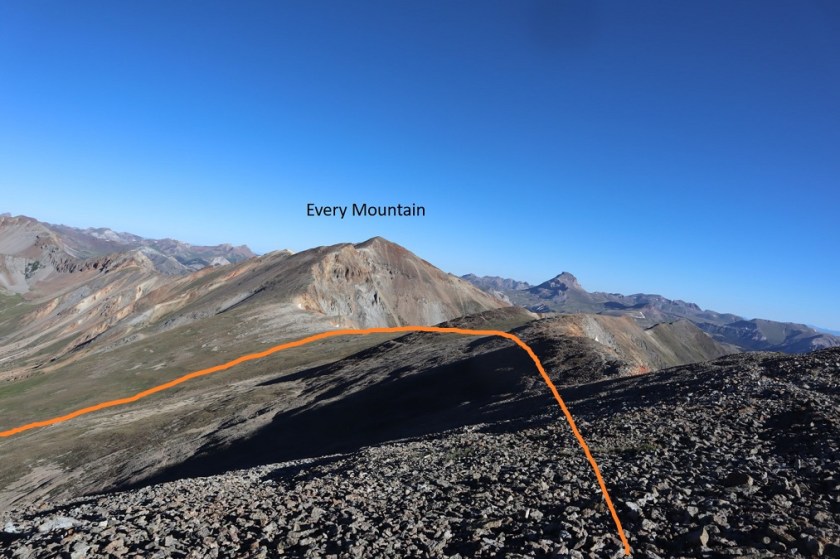
I made it to the summit of Every Mountain at 7:55am
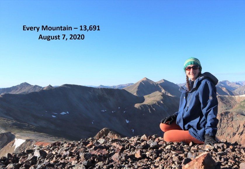
“Every Mountain”
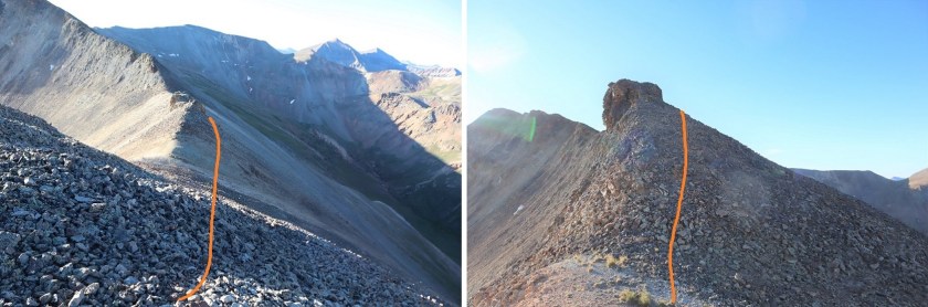
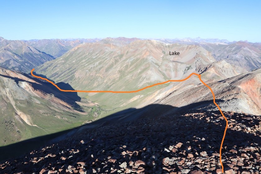
Here’s a look back at my route in
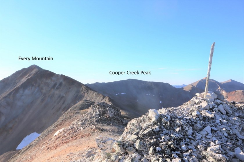
Here’s a look at the route over to Cooper Creek Peak
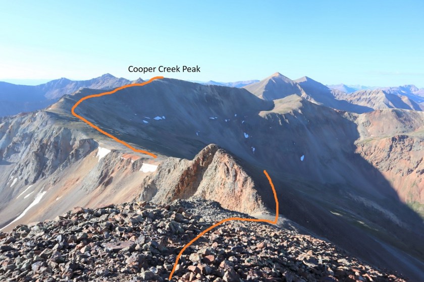
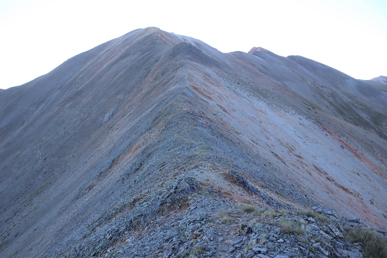
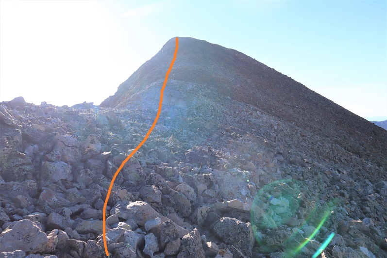
This was another easy class 2 ridge hike without any difficult obstacles. At times there is even a trail. Actually, there are quite a few game trails here.

I summited Cooper Creek Peak at 8:50am. It was very, very windy.
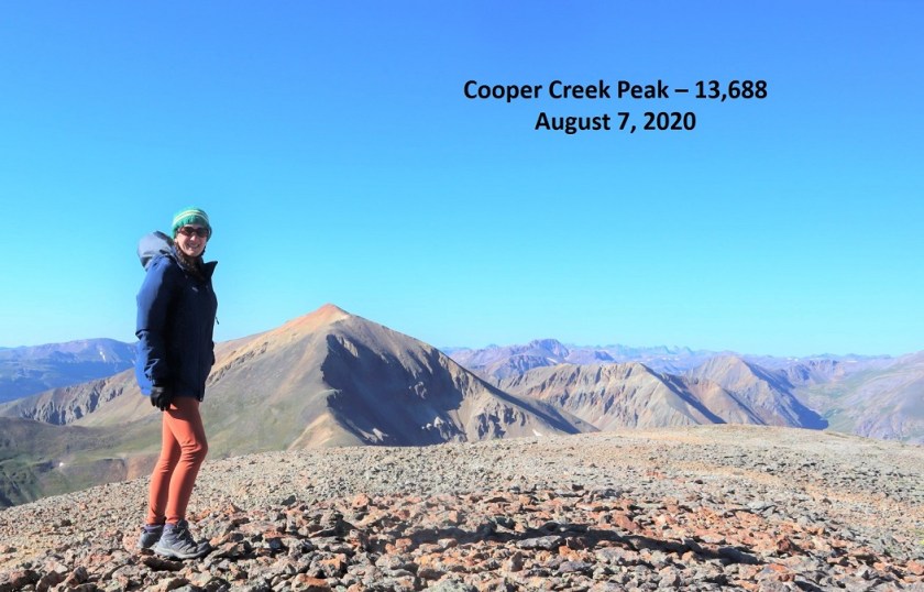
“Cooper Creek Peak”
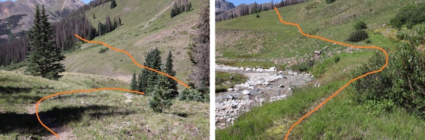
Because it was windy it was also cold, so I didn’t stay long on the summit. Instead I headed back down to the Every Mountain/Cooper Creek Peak saddle and from there down into the basin
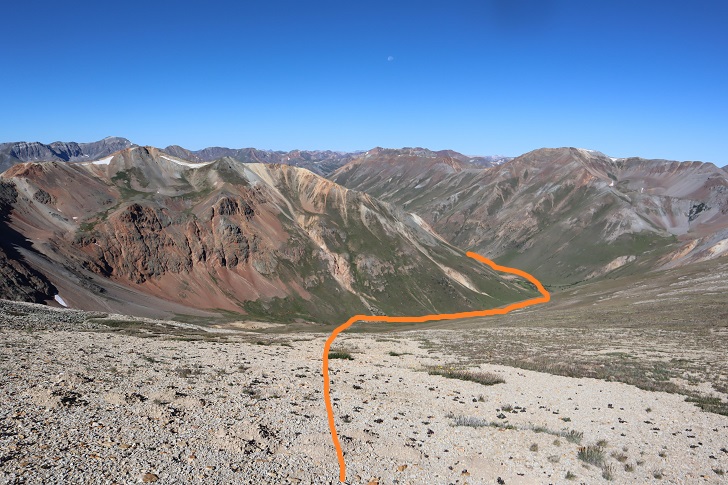
Here’s the overall route
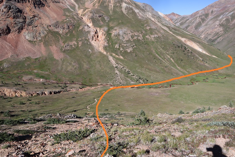
I hiked down the grassy slope, aiming for the creek. I then crossed the creek and stayed a little high to avoid the muddy areas
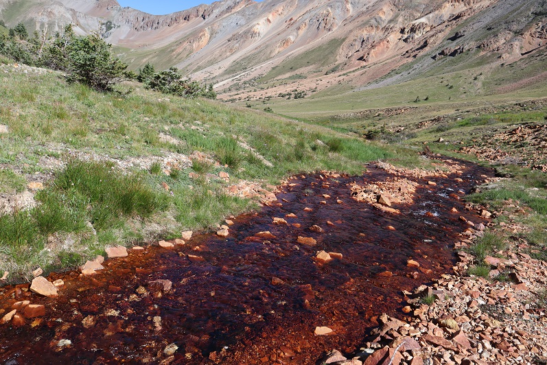
The creek didn’t look like it had water fit for filtering
Still, I followed it back to the trail
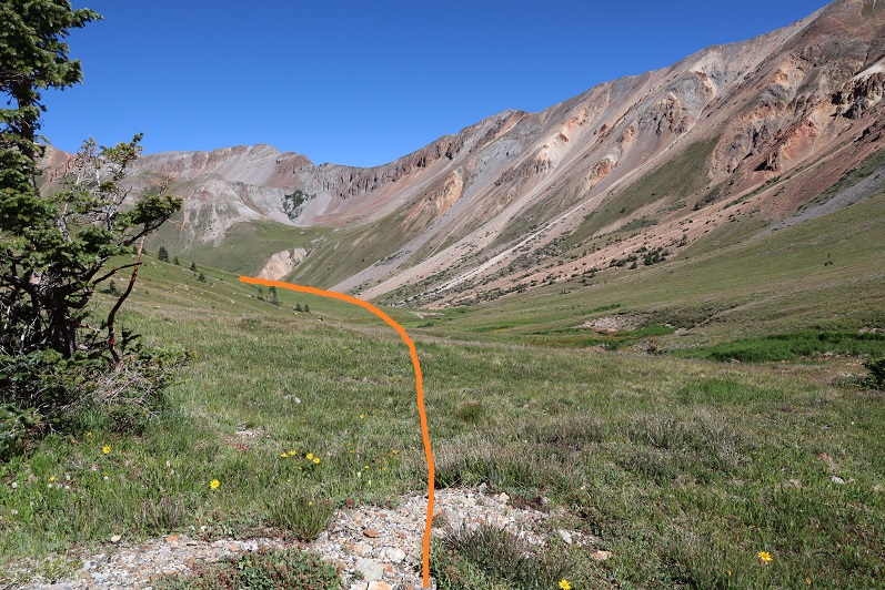
Here’s a look back at my way down the basin
And the route back on the class 1 trail
Back across the creek
And back to the trailhead. On my way out I noticed a trail register I hadn’t seen on my way in
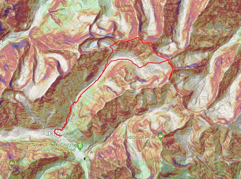
I made it back to my truck at 11:10am, making this a 12.93 mile hike with 3987’ of elevation gain in 6 hours, 10 minutes. Here’s a topo map of my route:
It was still early and I wasn’t yet tired, so I decided to drive to the next trailhead and get in a few more peaks for the day…

One thought on “Every Mountain – 13691 & Cooper Creek Peak – 13694”