RT Length: 4.03 miles
Elevation Gain: 2060’
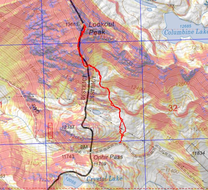
After summiting San Miguel Peak I still had some energy and I could make Ophir Pass be on the way home, so I decided to head over and hike Lookout Peak. Word of advice: if you plan on hiking this peak drive in from the 550 side, not the Ophir City side. You can make it to the trailhead in a 2WD from 550, but there’s some serious exposure/4WD needed on the Ophir City side. My truck handled it, but there were times I was scared it wouldn’t. Also, seeing a vehicle that had fallen/rolled a few hundred feet down the shelf road didn’t make me feel any better (it looked like it had been there a while).
The trailhead is located just to the east of Ophir Pass, and can fit 2 cars if you squeeze in tight.
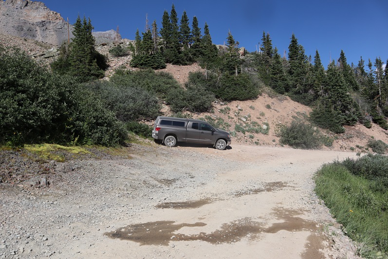
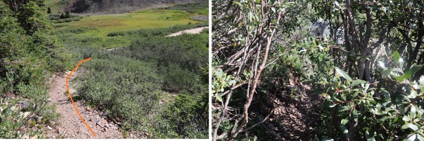
I tried to leave as much room as possible so other vehicles could pass each other at this point if needed. The trail starts just behind where I parked my truck. You can see a faint trail through the willows. It also looks like people use this area to pee (there were old wipes/tp littering the area).
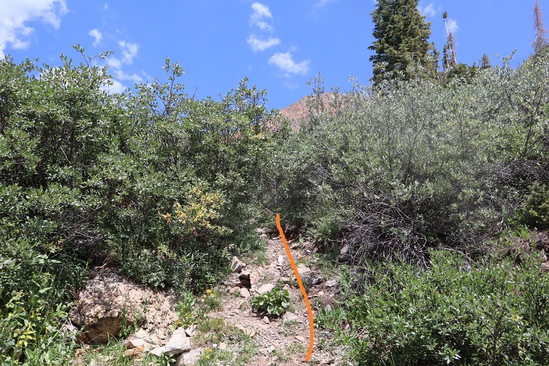
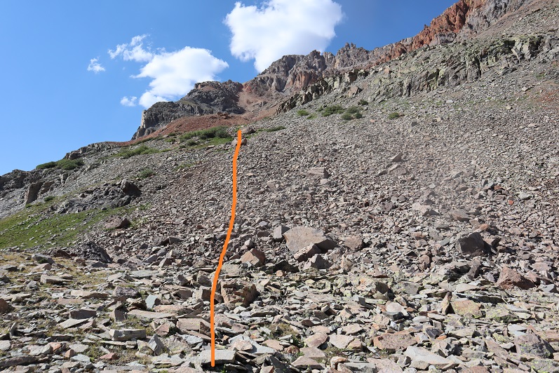
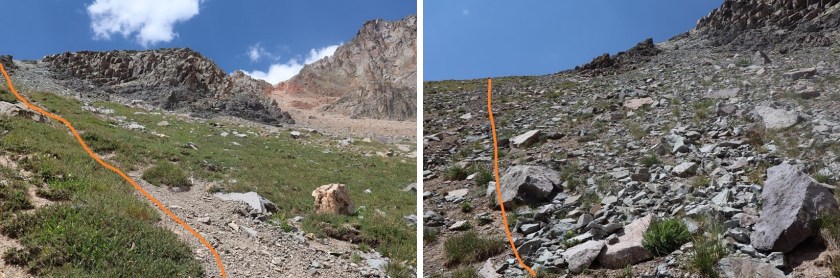
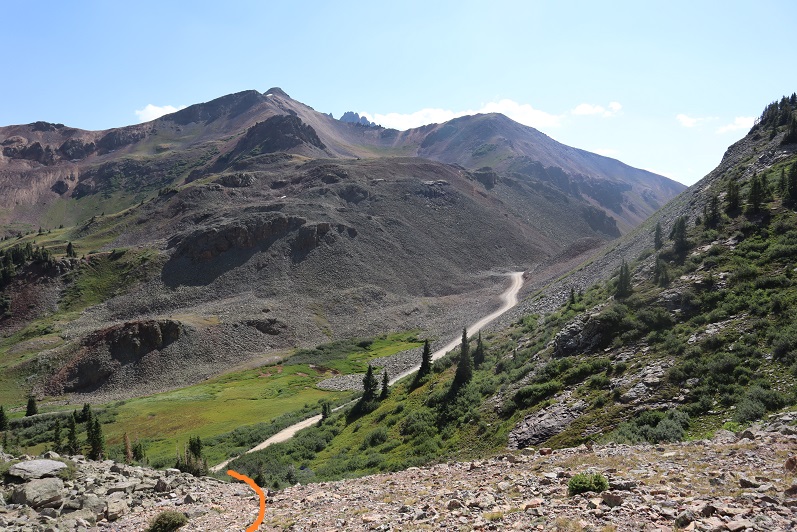
The willows don’t last long (a few yards or so) and then I aimed for the power lines, heading north.
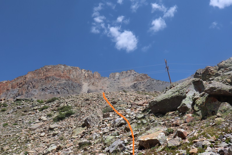
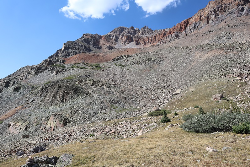
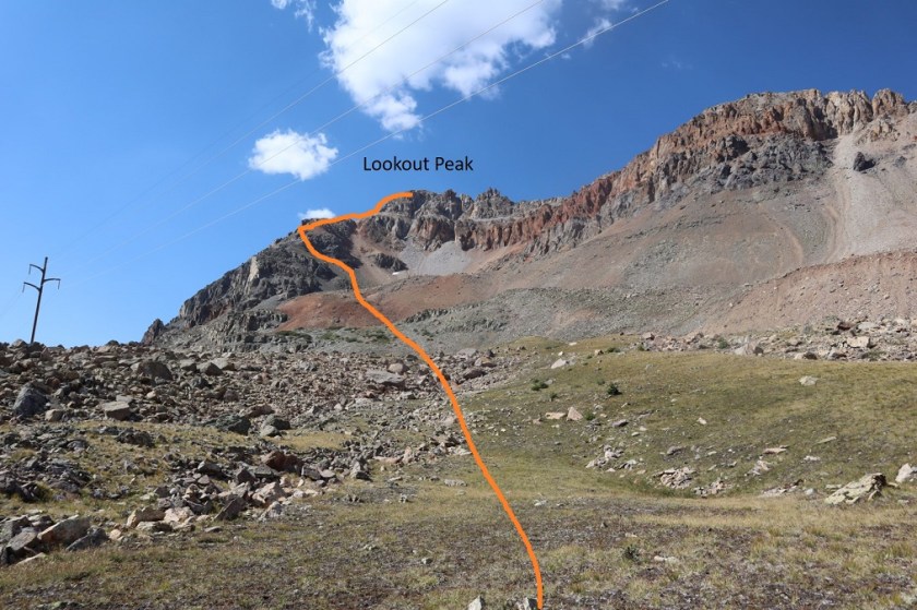
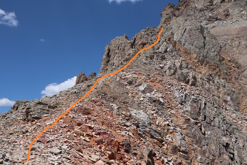
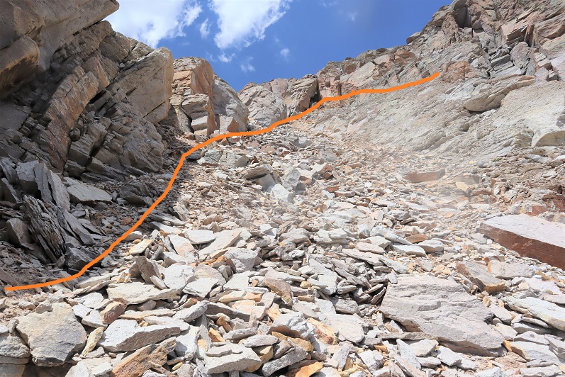
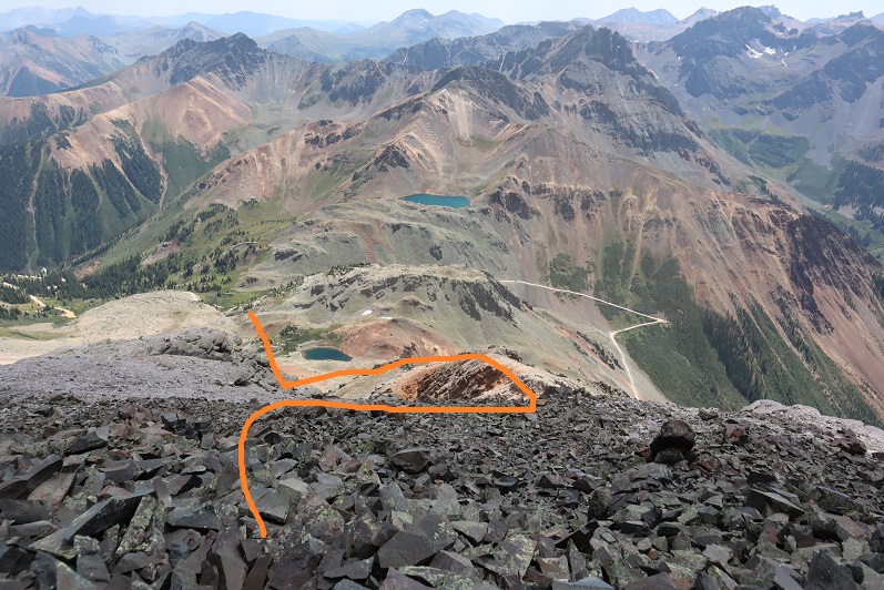
Once at the power lines I had a good view of the entire route up to Lookout Peak
From here the route is especially well cairned. I’m thinking someone a) had a really slow hiking partner, b) wanted to be very helpful to future hikers, or c) has a cairn fetish, because there were cairns placed no more than 50 feet apart for the entire route. If you don’t see a cairn on this hike, you’re off route. I fixed a couple of downed cairns for fun, just because I felt if they were there they should be there properly.
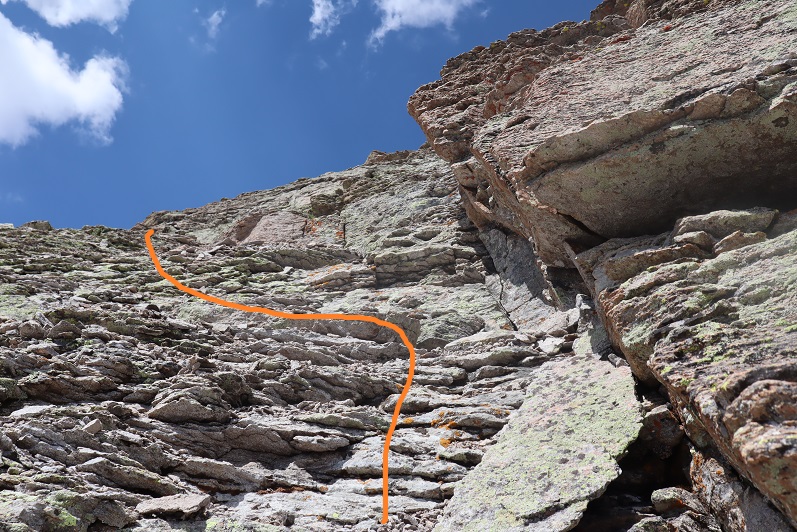
The first goal is to gain the ridge, and this is done by following the cairns northwest. At times there is a faint trail here, but there were a lot of cairns
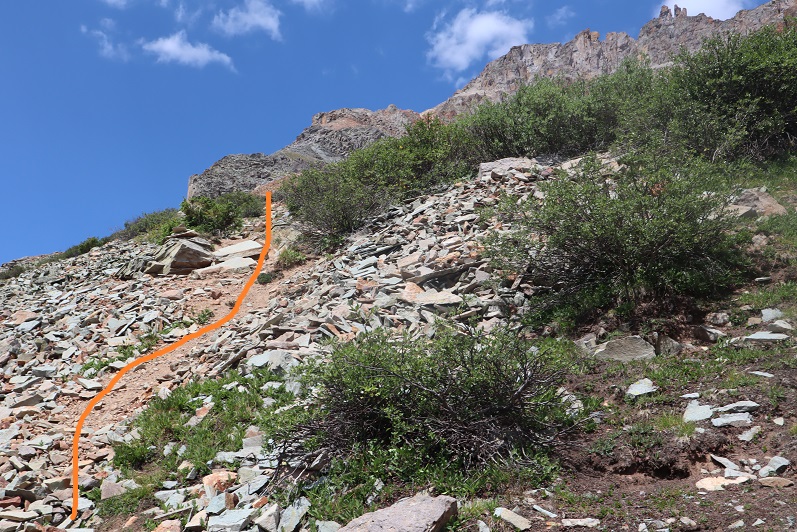
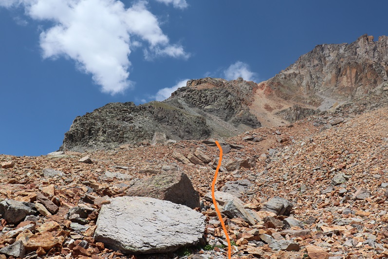
Once on the ridge I turned right and followed it north

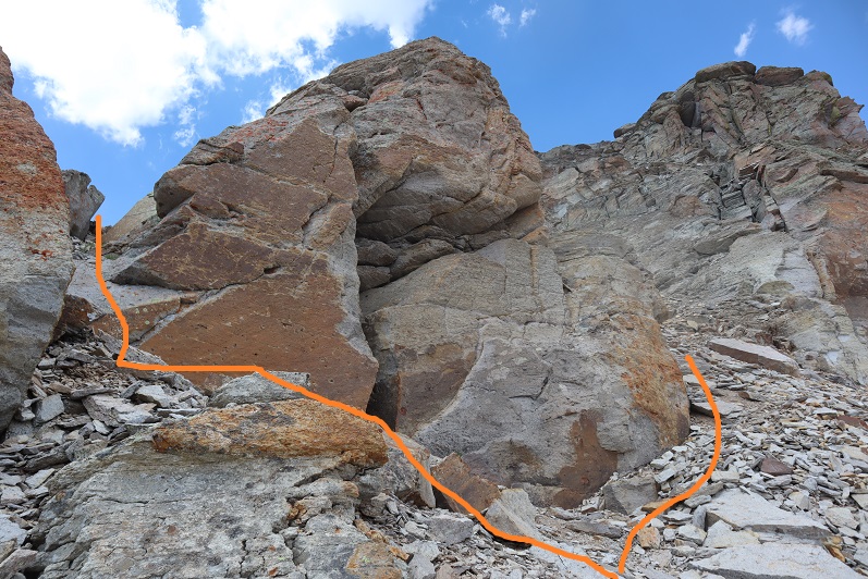
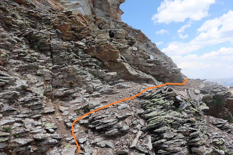
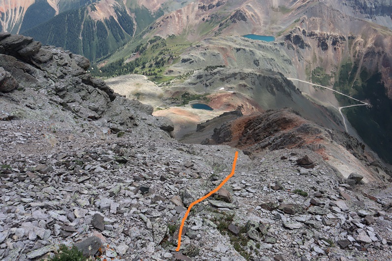
This boulder area looks tricky, but was all class 2
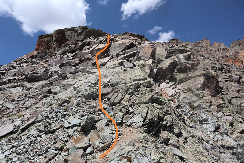
I kept following the ridge and the cairns
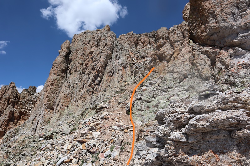
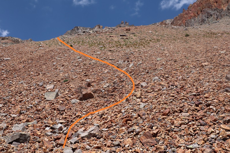
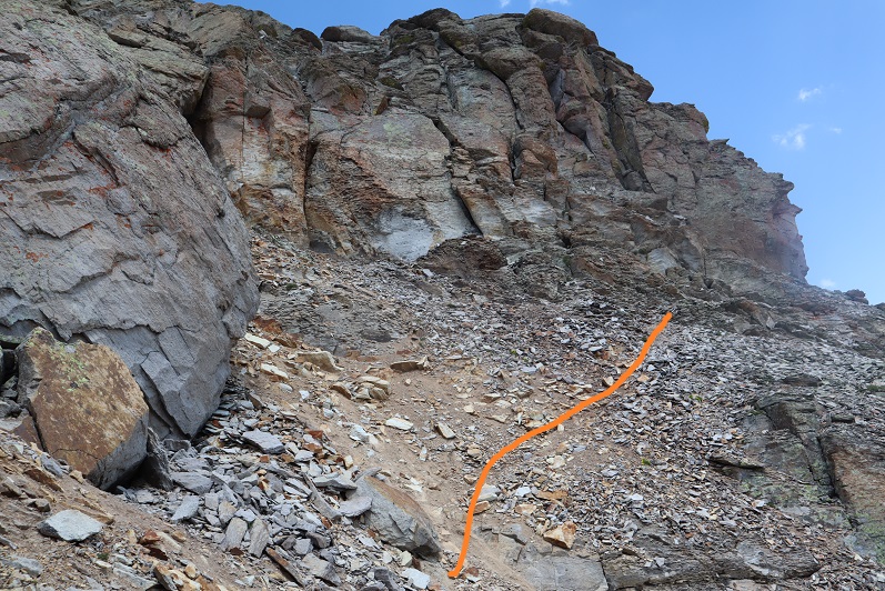
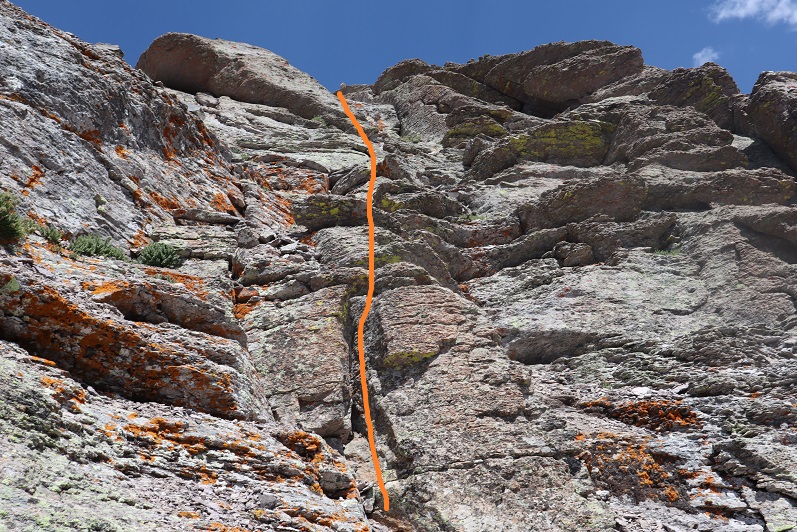
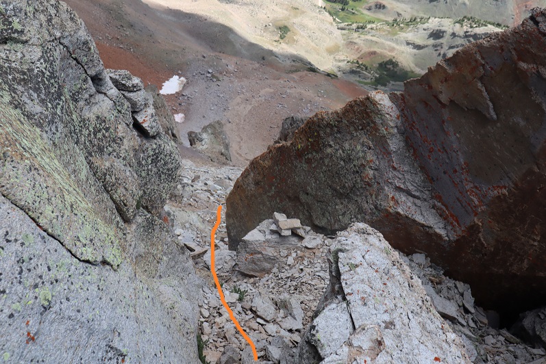
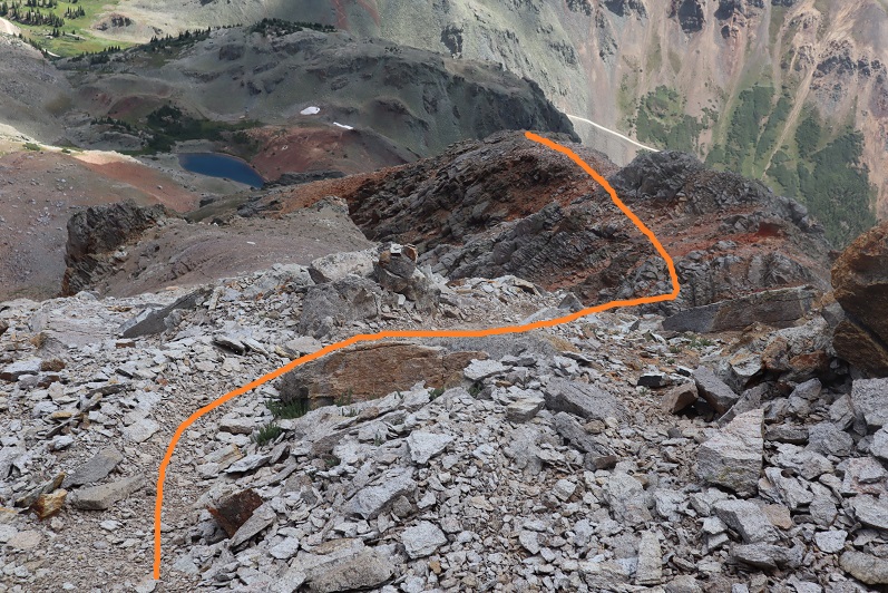
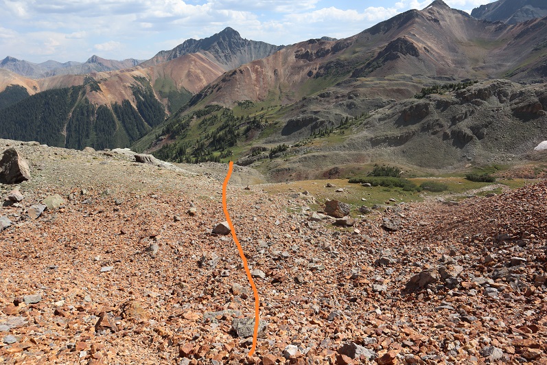
At 13380’ I came to a rock formation that looked like it went either way (it did). I went east on the way up, west on the way down, and both went. The east side has a slippery gully though, so I’d recommend staying west and taking the steps.
At the top of the gully I turned right and followed the faint trail and cairns northeast
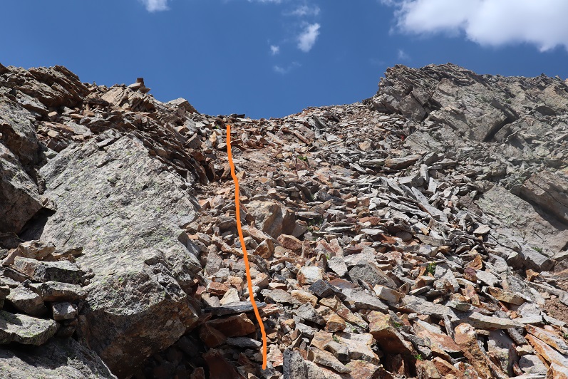
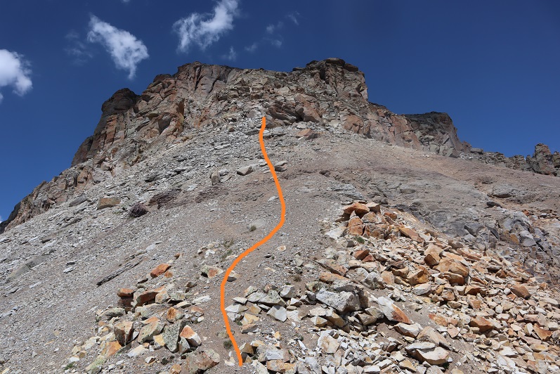
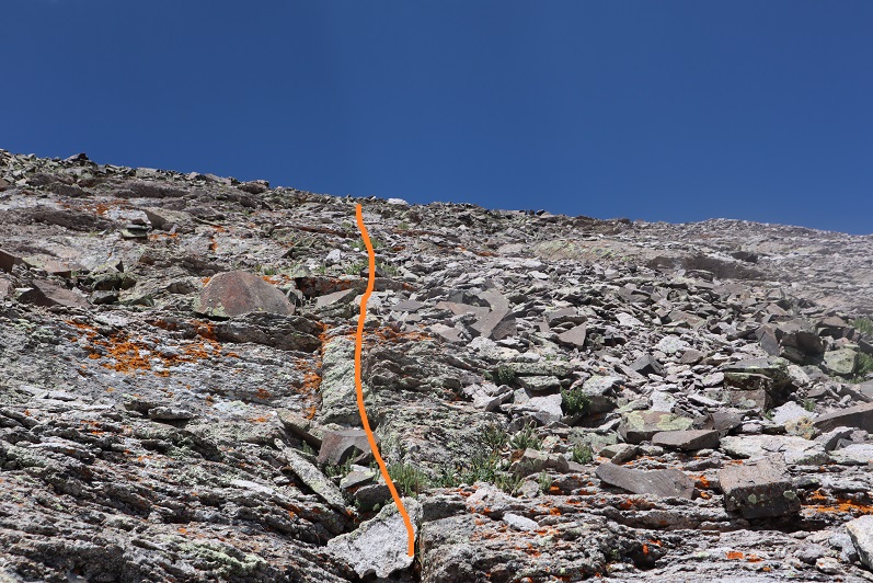
At 13475’ I put on my helmet and did some class 3 scrambling to the summit. This looks much more difficult than it actually was. The scrambling was easy, but the little rocks covering the boulders were a little annoying. I ditched my trekking pole and followed the cairns north.
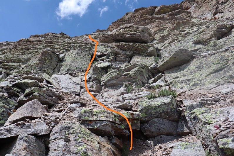

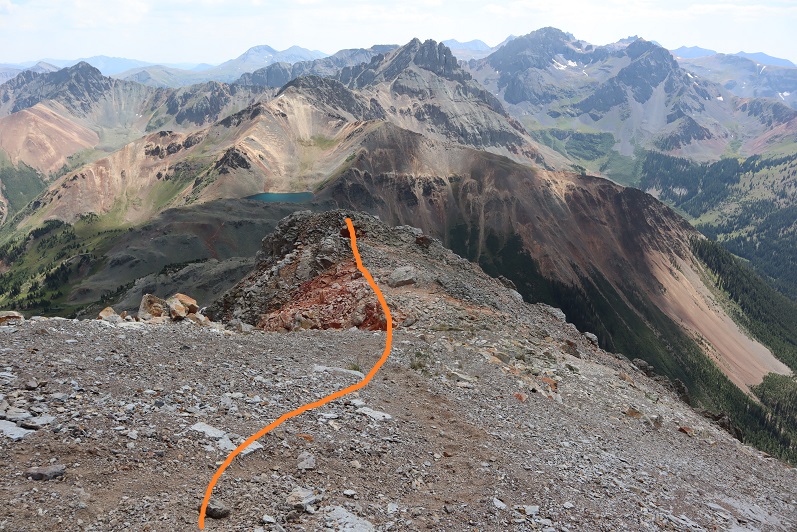
This would be a good introduction to class 3 climbing for someone looking for a quick summit to practice on. At the top of the short class 3 section it became class 2 to the summit


I summited Lookout Peak at 2:30pm
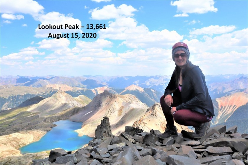
Lookout Peak:
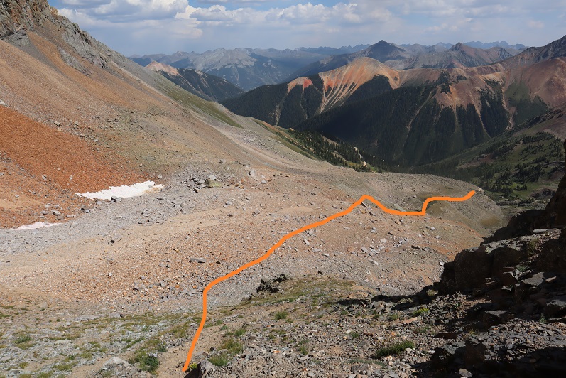
Here’s what the route looked like on the way back down:
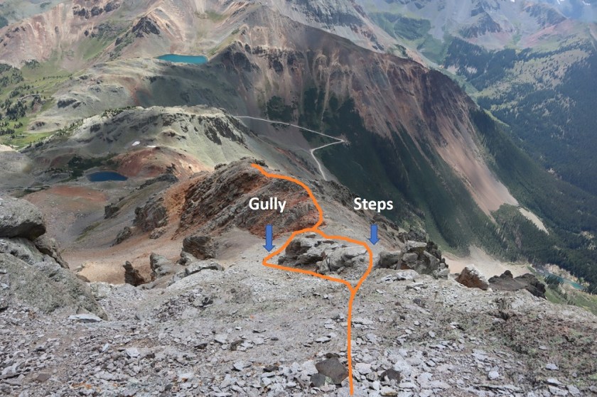
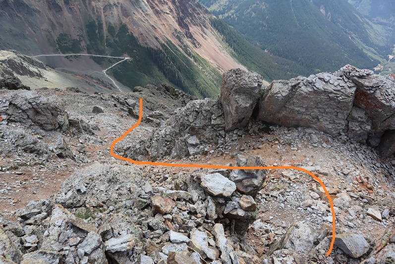
I took the steps on the way back down instead of the gully
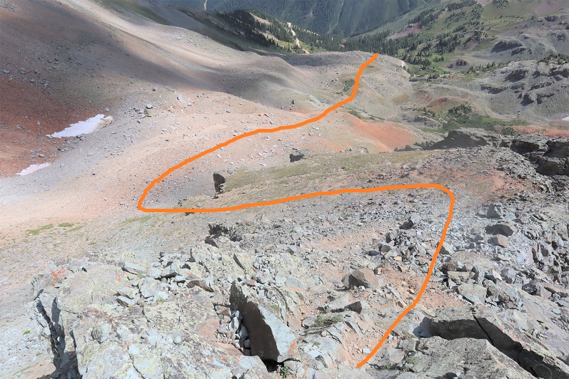
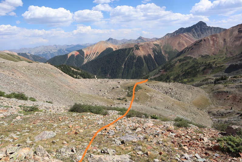
And then followed the ridge back to the basin

And from the basin, aimed for the power lines and Ophir Pass road and my truck
I made it back to my truck at 4pm, making this a 4 mile hike with 2060’ of elevation gain in 3 hours, 20 minutes.
I drove home and didn’t get to bed until past midnight. When I woke up my first thought was “Wow! I didn’t get woken up at all last night due to wind/wildlife!” Then I realized I was sleeping in my own bed and not in the bed of my truck…
