RT Length: 6.5 miles
Elevation Gain: 1579’
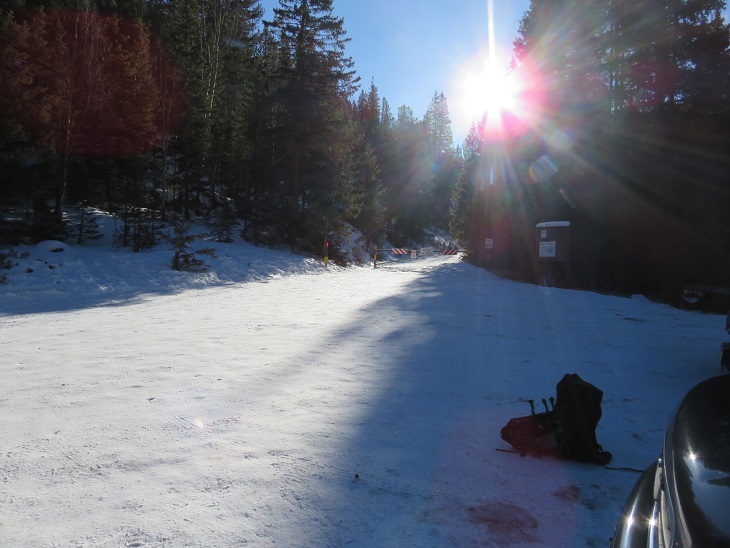
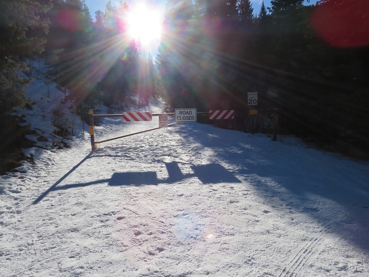
I arrived at the trailhead to find the roads icy but plowed all the way to the winter closure. I was actually kind of surprised to find the gate closed, and this altered my plans just a little bit: I’d planned to drive down the road to other peaks after this one. With the road closed I didn’t have enough time. I parked my truck and gathered my gear, noticing there was a light on in the vehicle next to me. No one was inside the vehicle, and the doors were locked, so I couldn’t turn the lights off for them. I’m guessing they were hiking Pikes Peak today, and would most likely run down their battery. Luckily this is a popular trailhead, so they should be able to find help nearby.
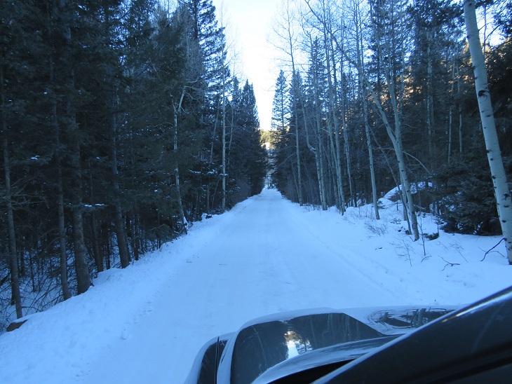
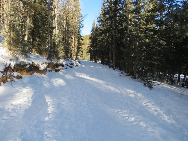
It was a cold morning (once again, below 12 degrees) so I put on all my gear and set out just as it was beginning to get light. I love hiking without a flashlight! I walked past the gate and followed the road for .7 miles
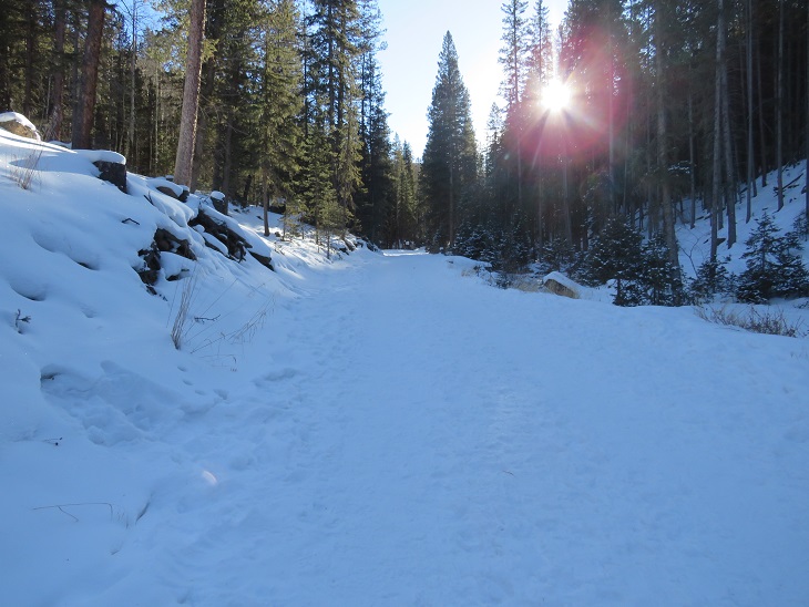
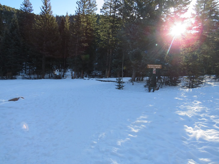
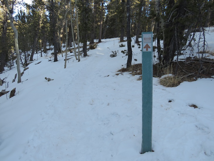
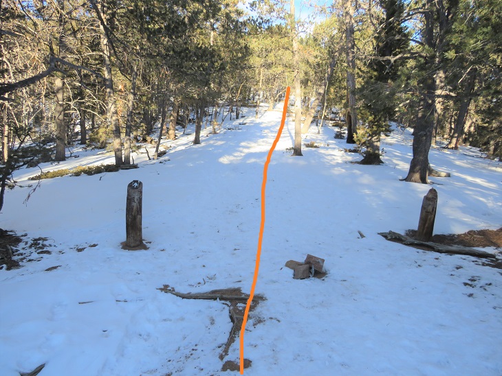
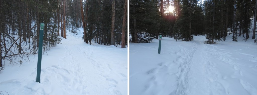
After .7 miles I came to the Raspberry Mountain Trailhead
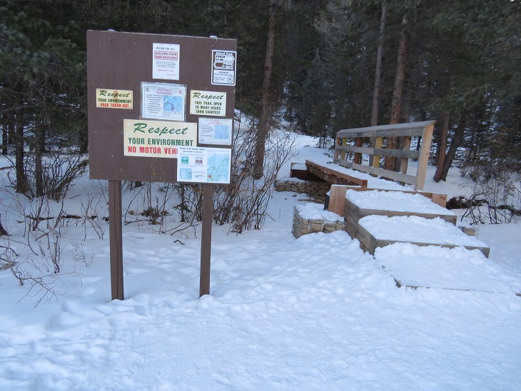
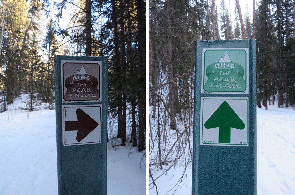
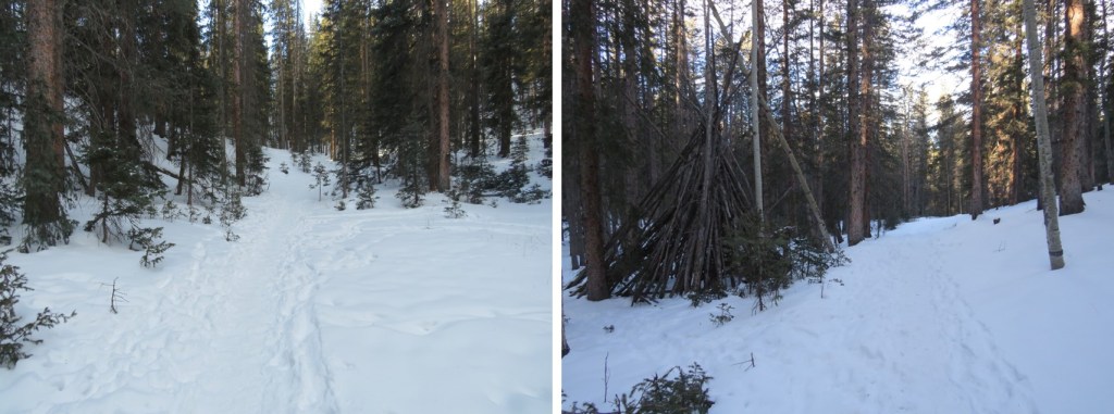
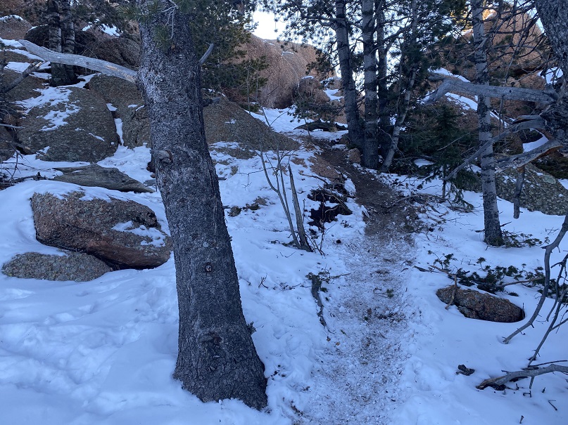
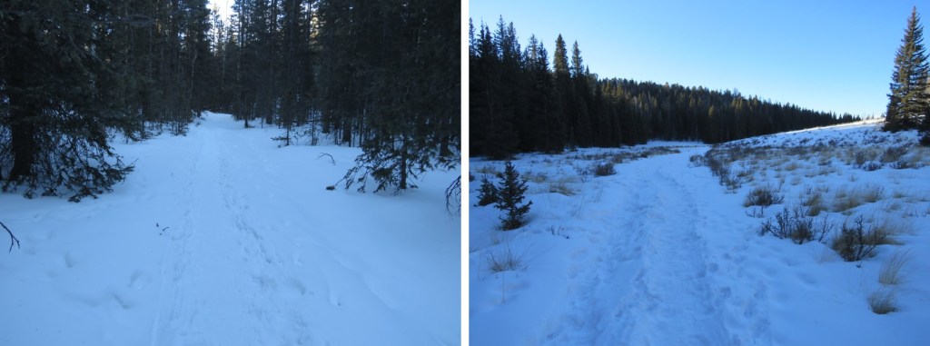
From here on it was a very simple hike: I just followed the bootpack. In summer months this would be an easy to follow trail. I had on microspikes, and didn’t need traction. From the trailhead it was 2.5 miles of hiking north to the summit, following the Ring the Peak Trail
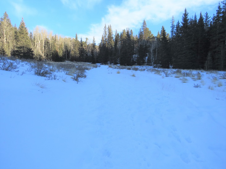
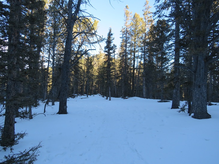
I passed through a small meadow
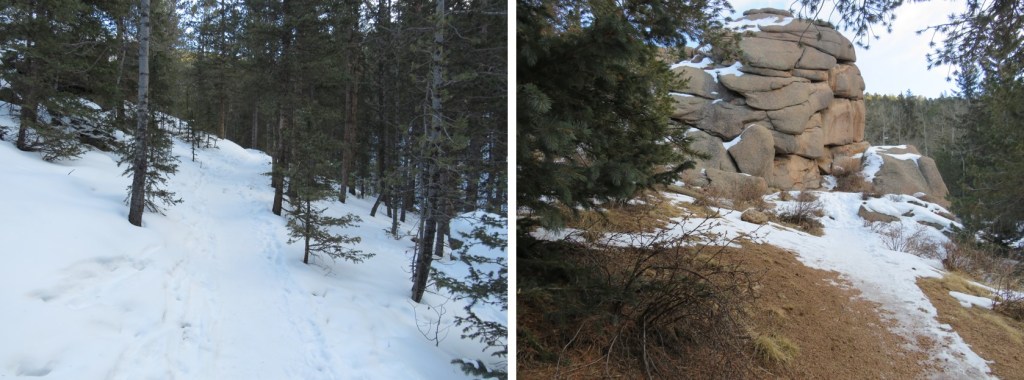
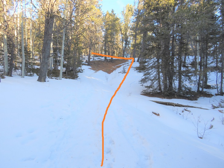
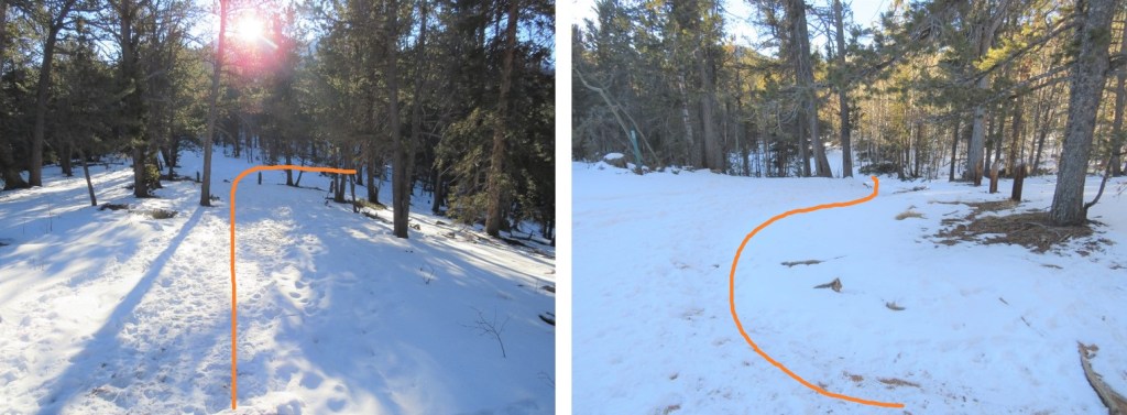
And then gained and lost some elevation as I rounded the west side of the mountain. At the top of this small saddle there’s a trailhead of sorts. Turn left here
As I followed the trail I could see Raspberry Mountain in the distance. You actually summit from behind
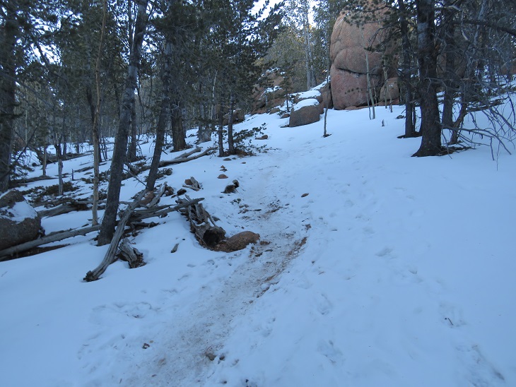
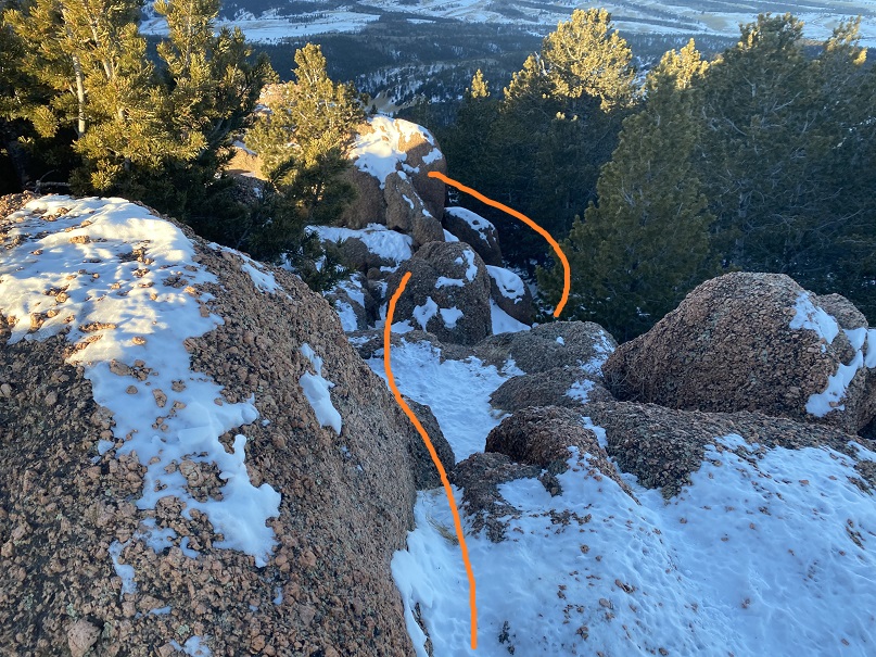
I curved around the north side of the mountain and came to a rocky outcropping
This was class 3, but without any exposure and easy to navigate. I just heel-toed it up this ramp

And I’d made it to the summit. The summit had large rocks, but no exposure
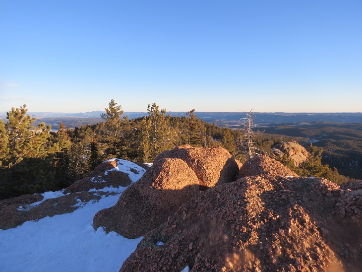
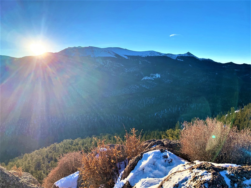
There was also a nice view of the west side of Pikes Peak. This side doesn’t get much attention, I’m afraid.
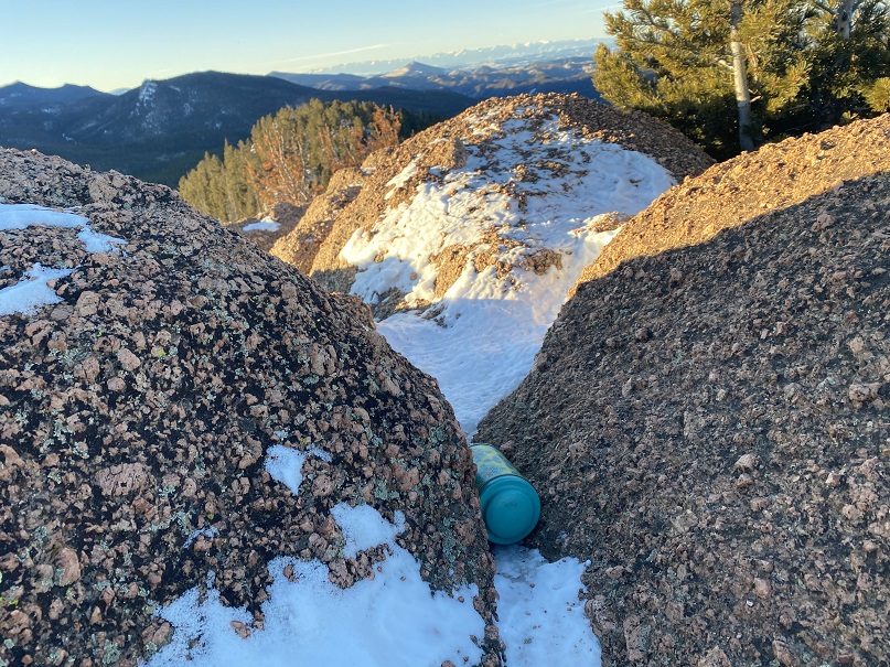
There wasn’t a commit register, so I left one in an obvious place. This is a Teller County Highpoint, so I found it odd there wasn’t a register.
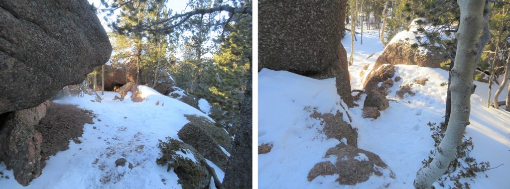
My camera stopped working about now. It froze, and I was told to replace the battery (this is what happens when it gets cold), and then when I tried to clean the lens the water instantly turned to ice. So I started using my cell phone. Did I mention it was quite windy and cold? Time to head back, first down the rocky area
Then re-tracing my steps back to the upper ‘trailhead’
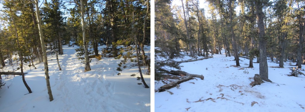
And back to the lower trailhead

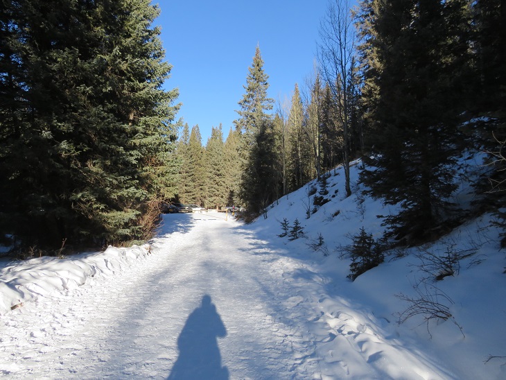
Following the dirt ‘road’ back to the gate closure
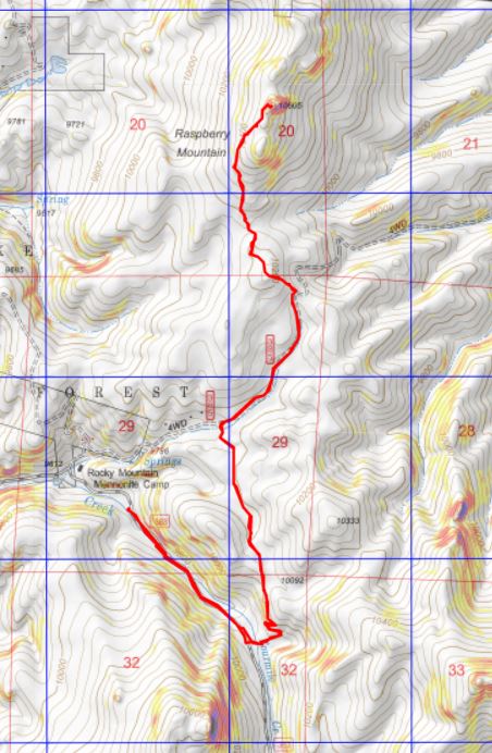
I made it back to my truck at 9:15am, with much of the day still ahead of me. There were quite a few vehicles parked at the trailhead at this time. Today had been much easier than I’d anticipated, so I drove home and hopped on the treadmill for an hour. Here’s a topo map of my route