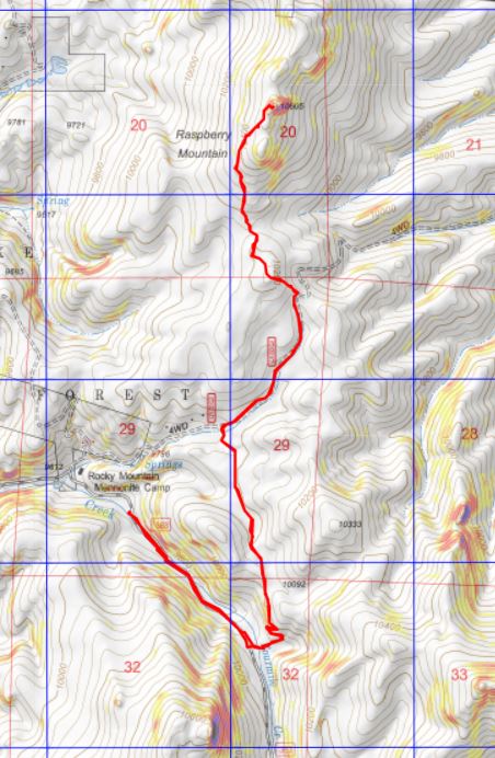
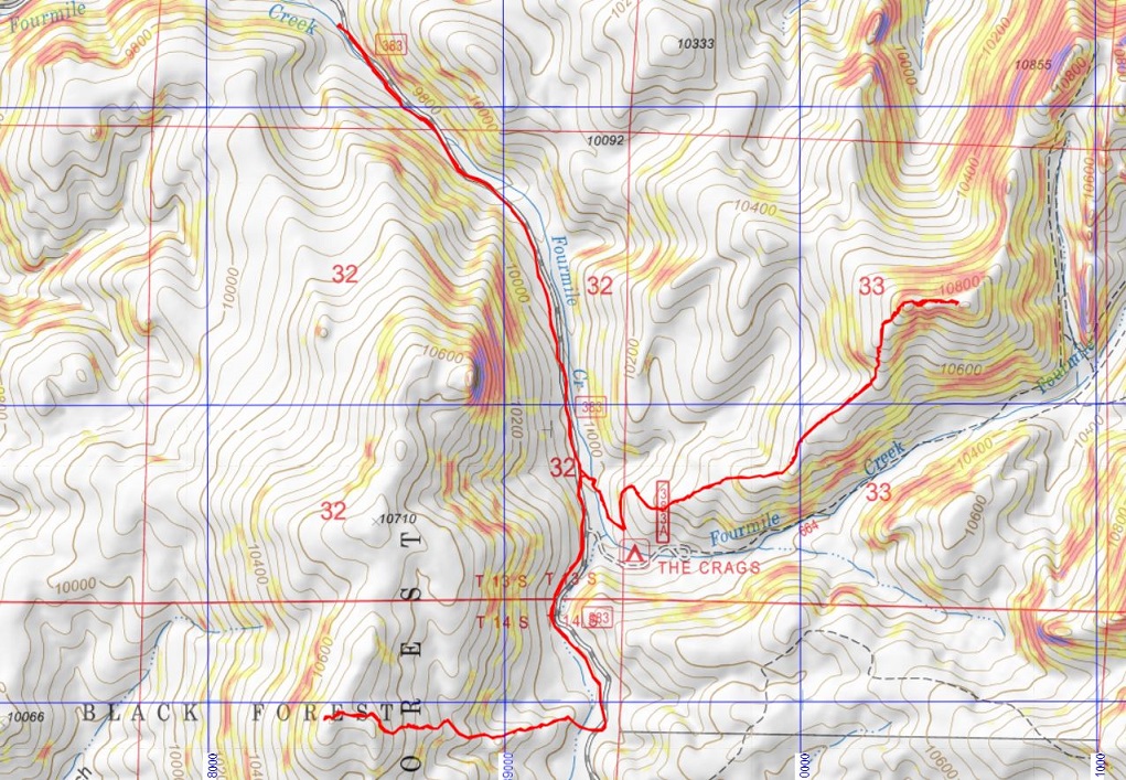
RT Length: 8.32 miles
Elevation Gain: 2186’
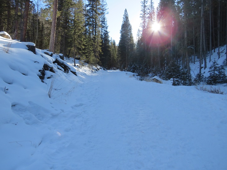
Since the weather hasn’t changed since I was in the area a few days ago, I decided to get in a quick hike before work. Well, in the middle of work. I got up super early, worked for a bit, and then drove to the trailhead. The road in was still icy, and as I drove in the temperature gauge kept fluctuating between 0 degrees and 1 degree. It was cold!

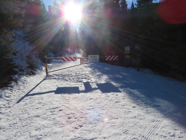
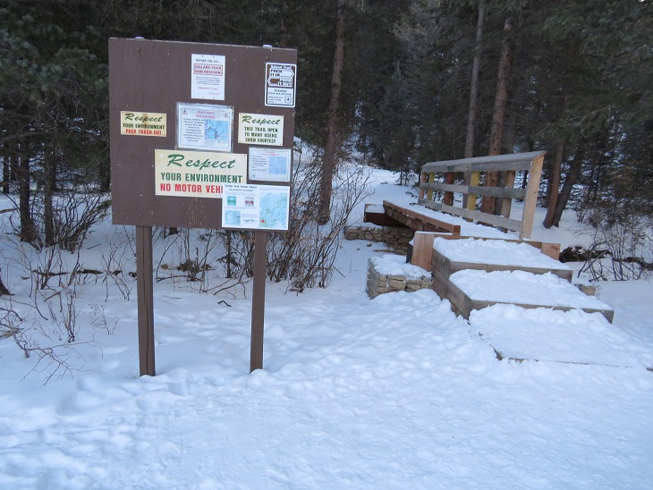
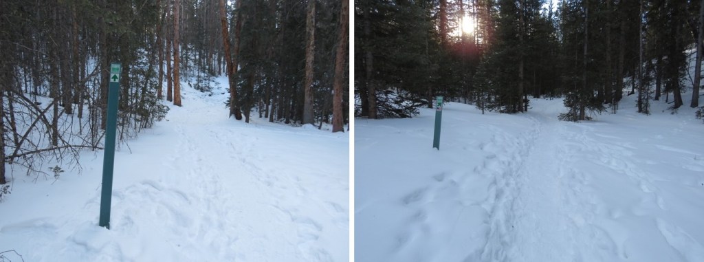
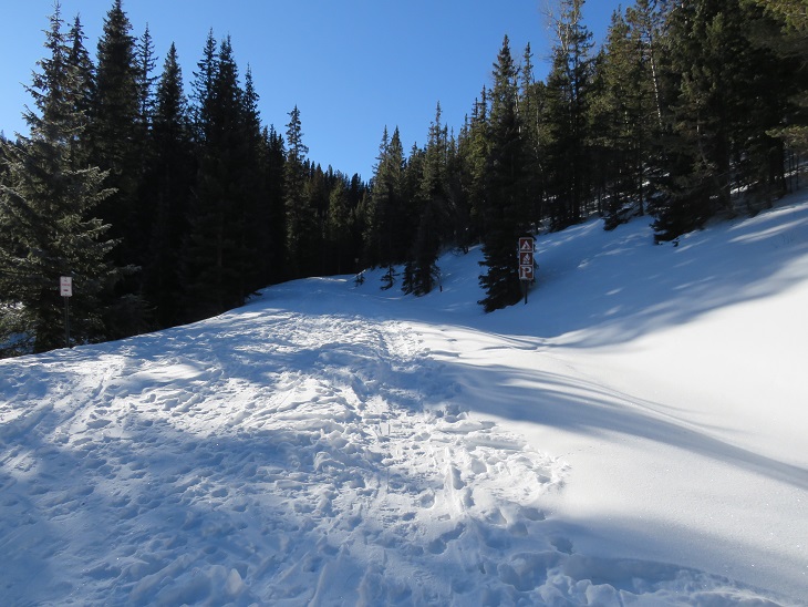
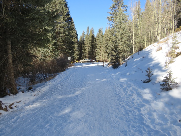
I was on the trail at 6:45am. The trail starts behind this locked gate.

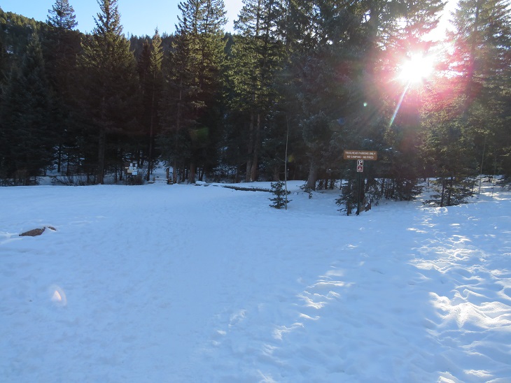
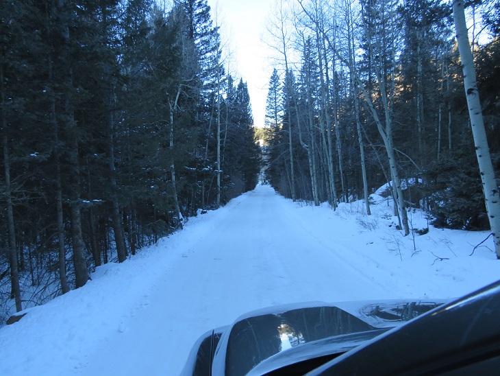
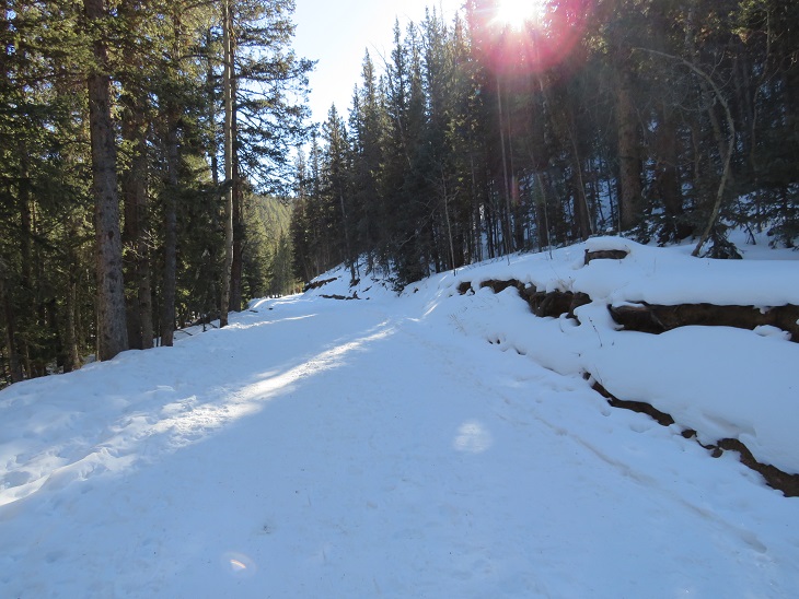
I travelled on this road (383) for 1.15 miles to the Crags Trailhead.

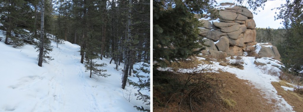
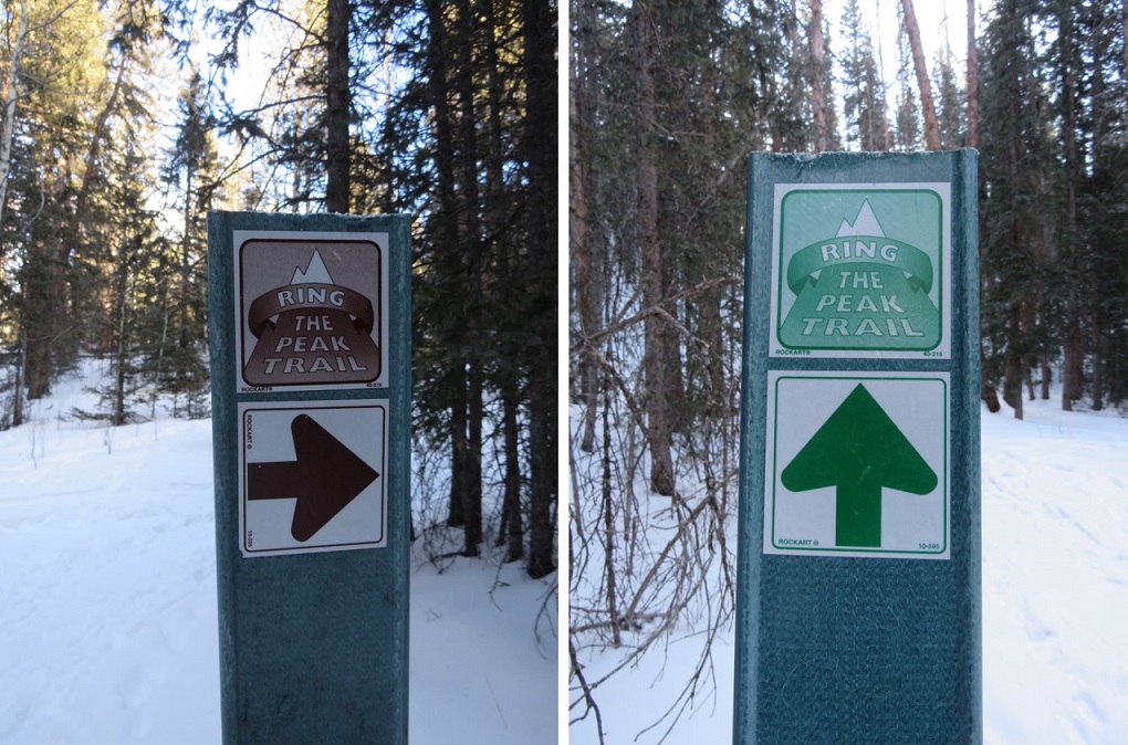
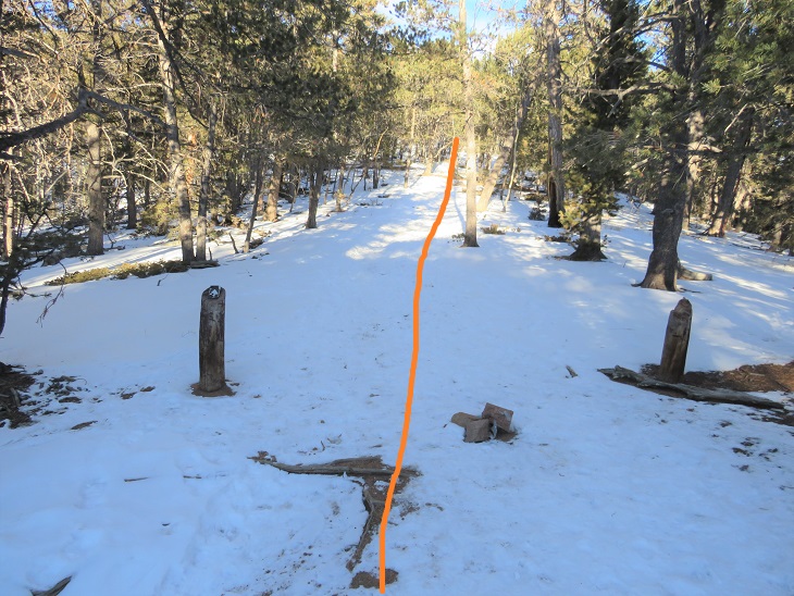
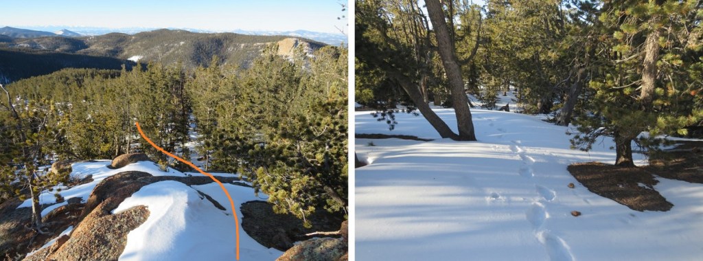
This trailhead will take you all the way to Pikes Peak. Instead, I followed the trail for half a mile, and then left the trail and continued up the ridge.
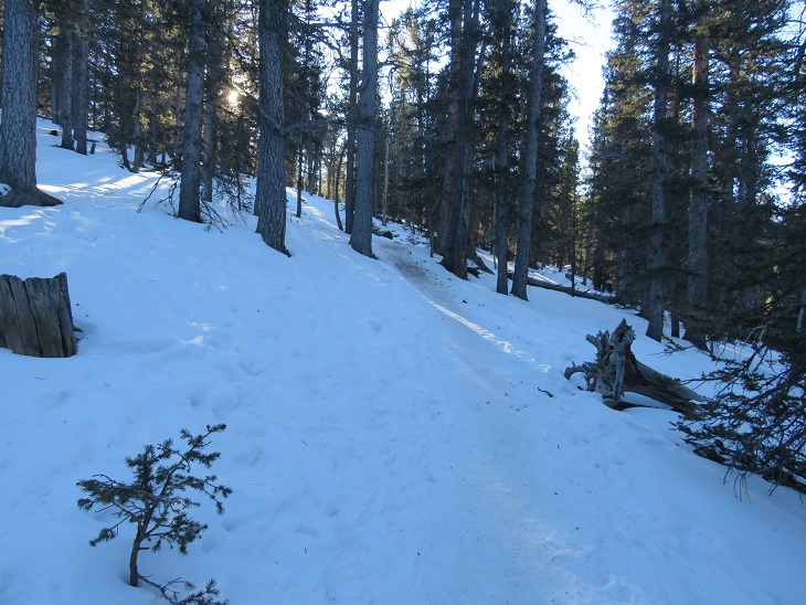
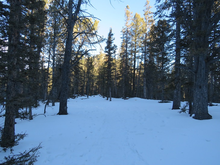
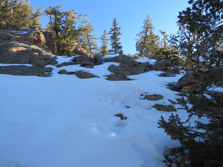
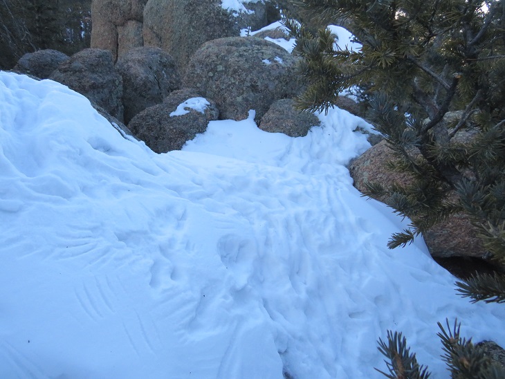
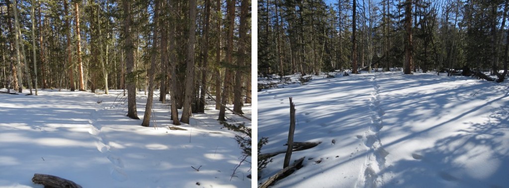
I was met with about 4 inches of snow, which was awesome! This meant I’d have an easy time re-tracing my steps back down. I followed the ridge as it wound northeast

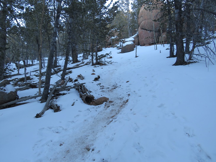
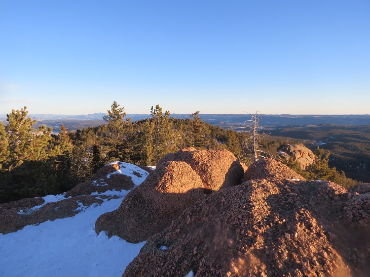
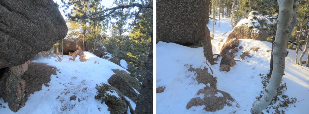
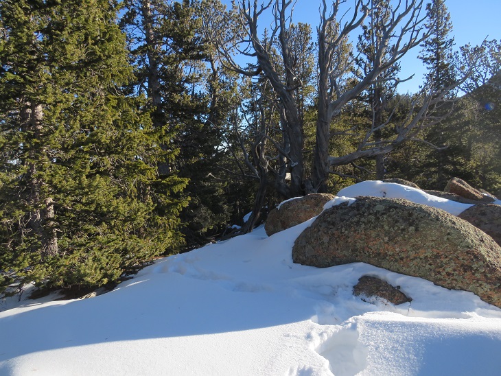
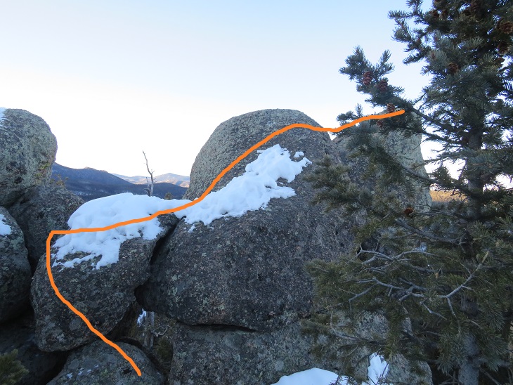
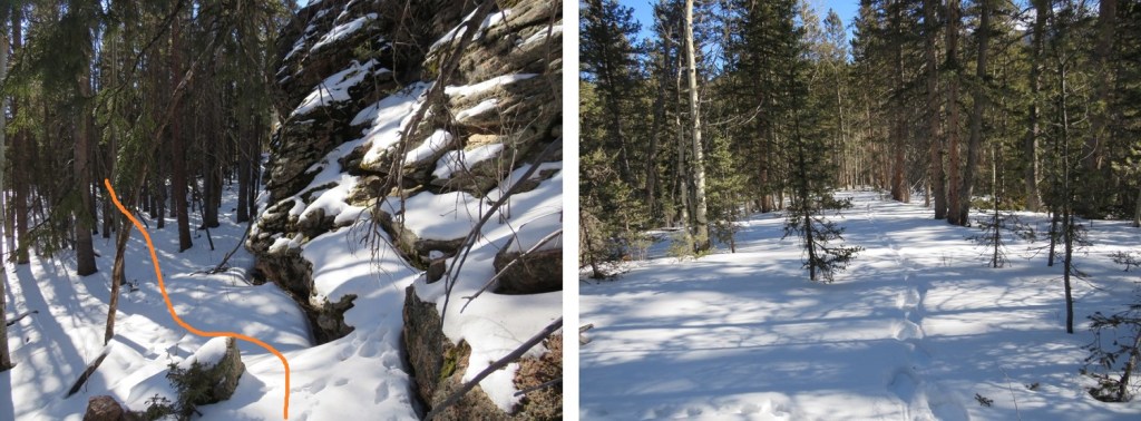
Until I came to a rocky area. This rocky area kind of surprised me, and got more intense as I went on. It was all class 3, but with the snow it became a challenge at times to navigate.
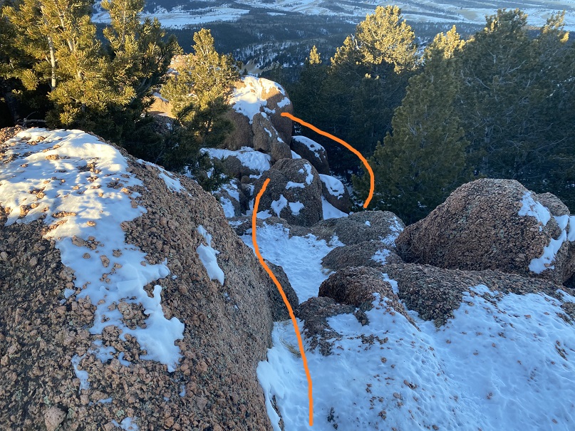
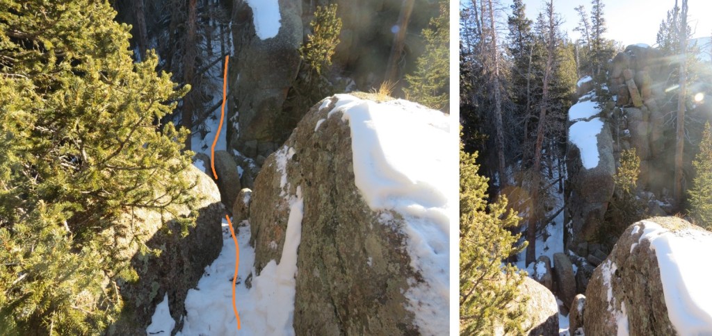
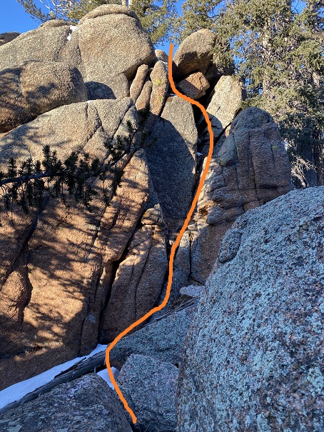
Here I went down the chimney, and then skirted the rock formation to the left. This was the crux of the route.
That was the hardest move. From here it was a simple (but still rocky) trek to the summit.
There was a little bit of rock scrambling necessary to reach the summit.

I scrambled on over to the highest rock and sat quietly, looking down at the exposure.
And back on the way I’d hiked in

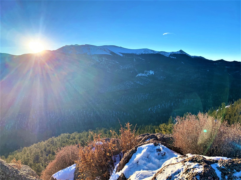
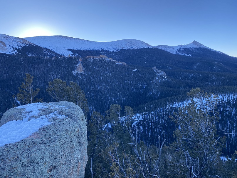
The sun had not yet risen over Pikes Peak, so it was still cold
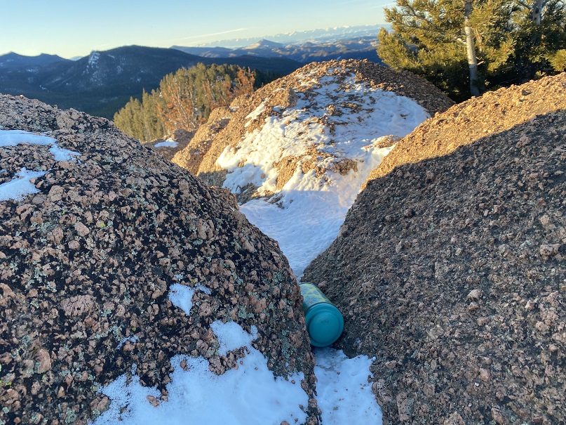
I didn’t sit there long. Instead, I scrambled back down, placed a summit register in the opening between the rocks below the summit, and noticed this place got a lot of bird activity

Time to head back
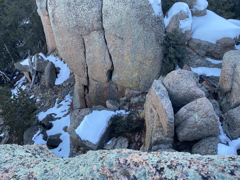
Here’s that chimney I climbed down. Here’s how to climb back up
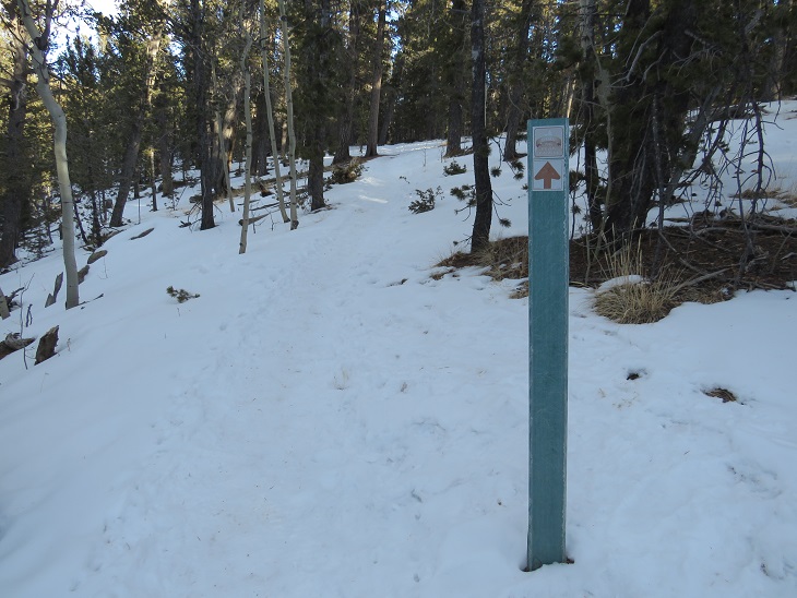
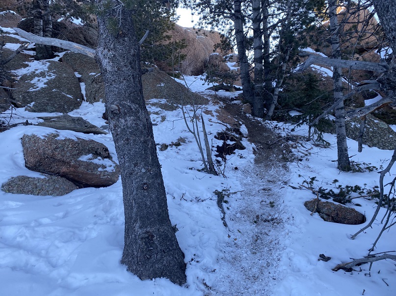
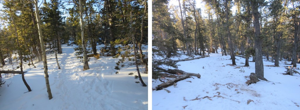
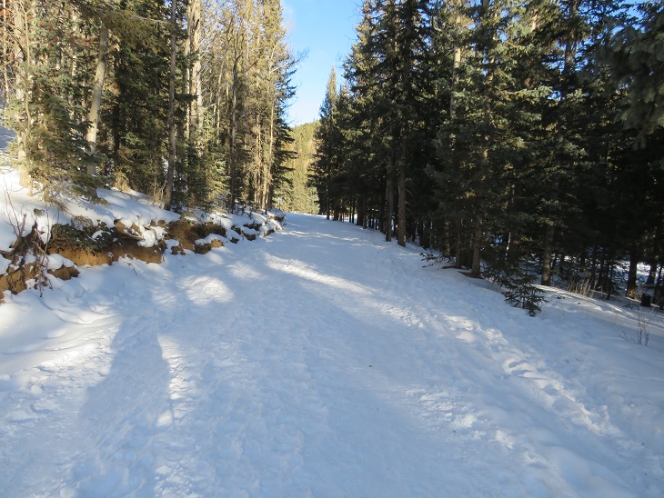
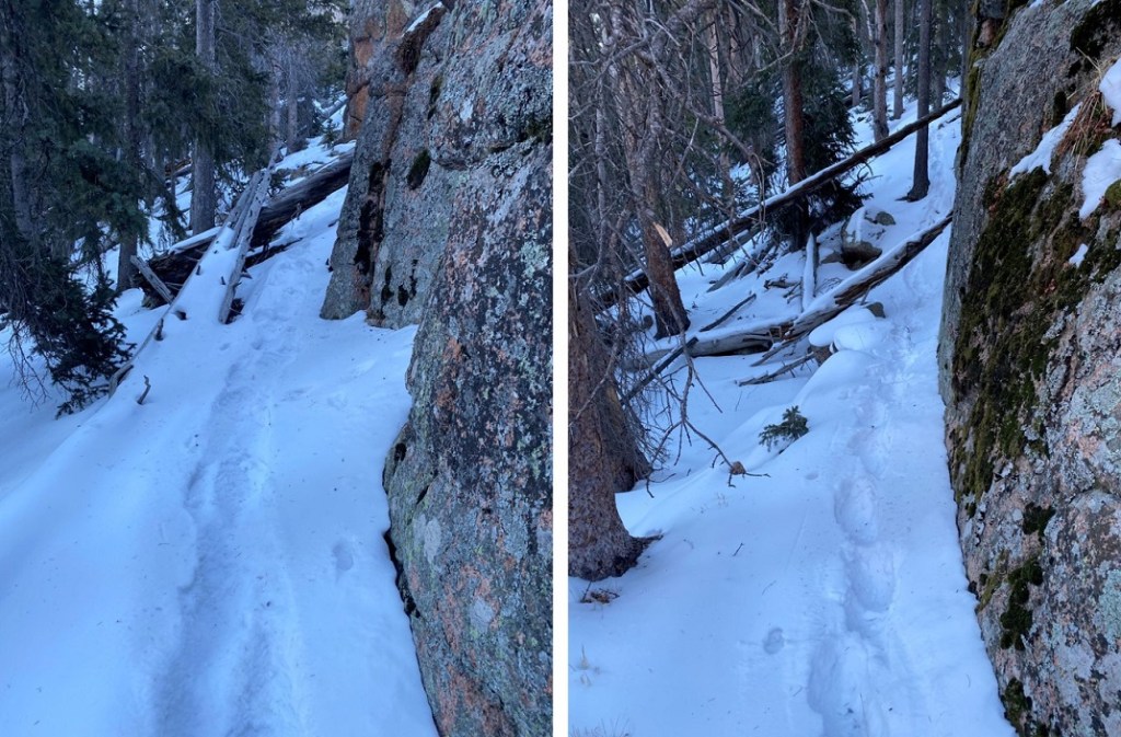
And then I followed the ridge back to the Crags Trail
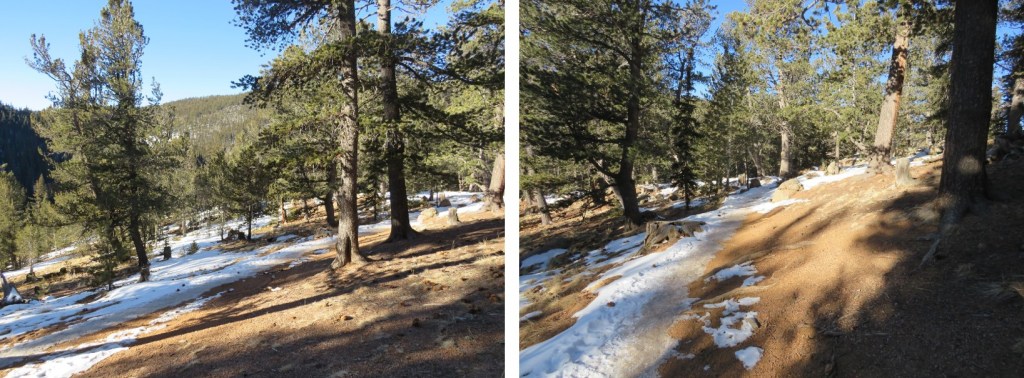
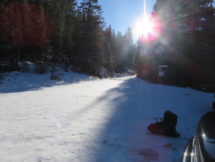
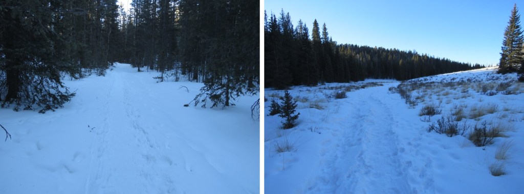
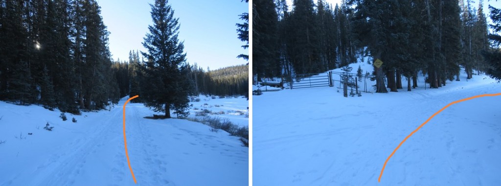
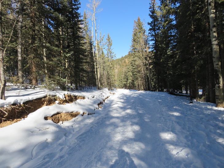
Back at the Crags trailhead, I continued following the road south, past the Crags Campground (closed for the season)

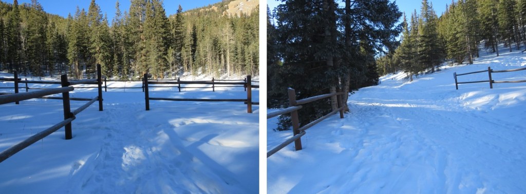
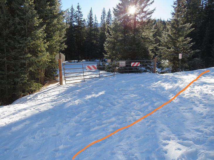
I followed the road for just over half a mile until I came to a fork in the road and a locked gate to private property.
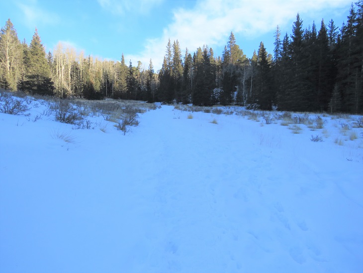
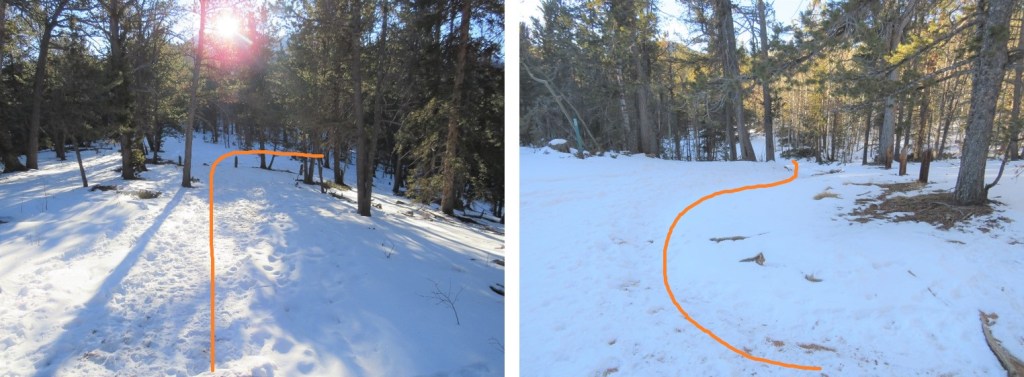
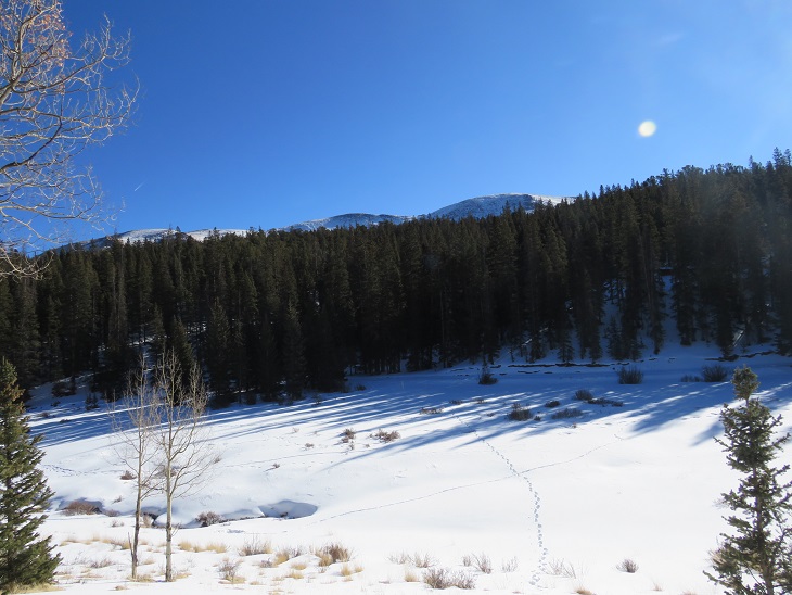
At the locked gate I turned right and headed west, across a meadow and then up the ridge
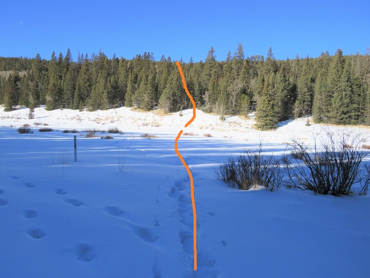
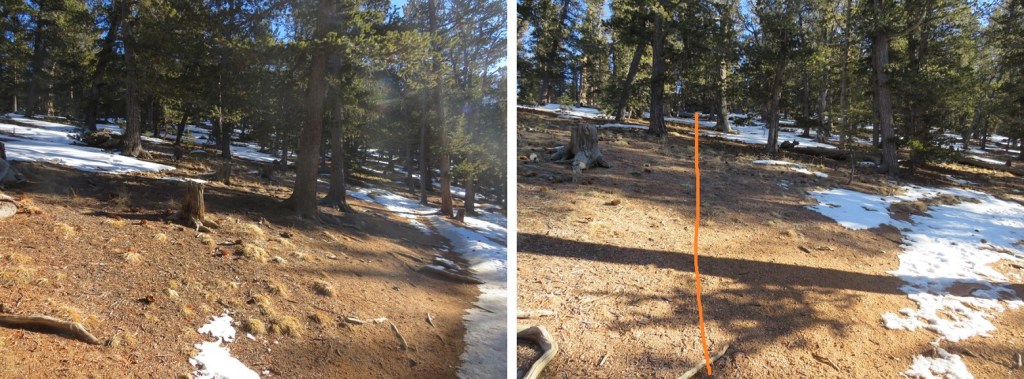
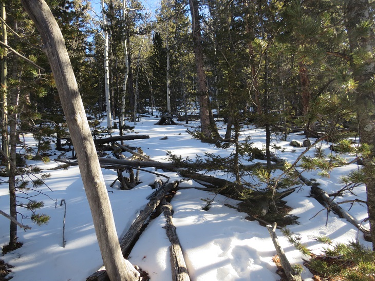
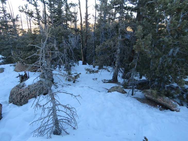
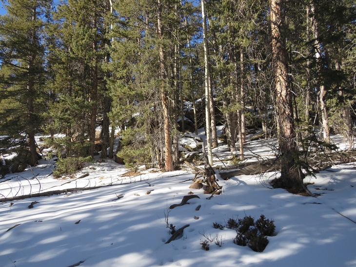
This entire hike is below treeline, so it’s difficult to gauge where you’re going. I just followed the rib/ridge west.
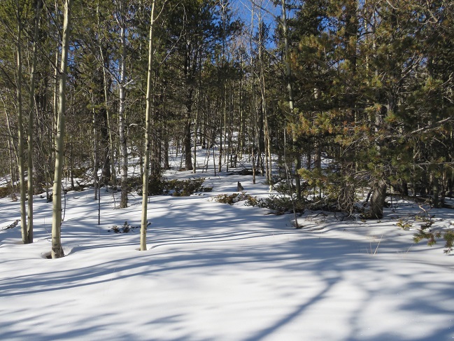
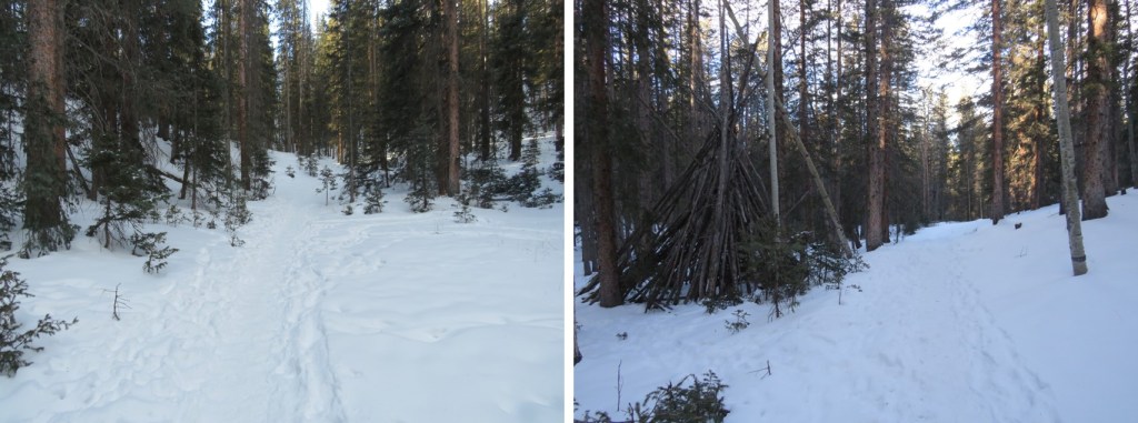
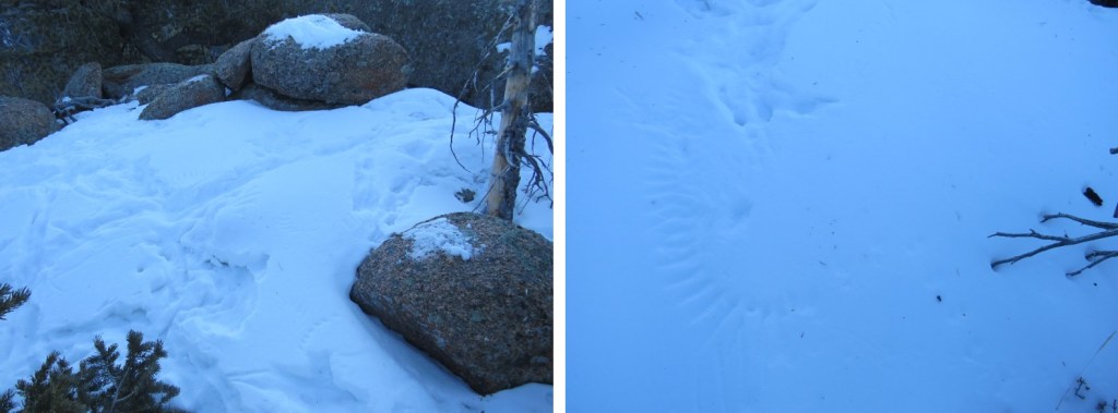
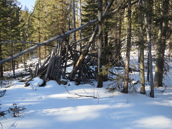
I passed some wiki-ups
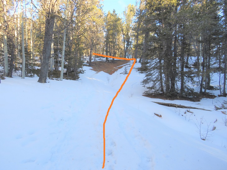
And came to a large rock formation, which I skirted to the north to avoid
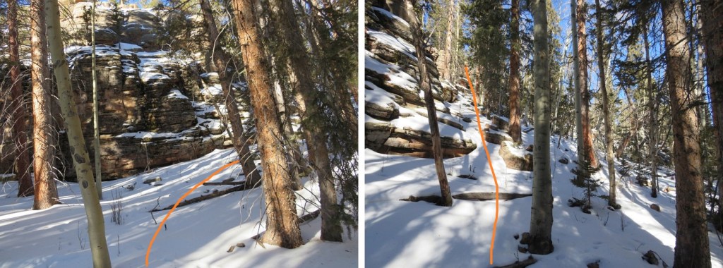
Once past the rock formation I kept heading west towards the highest point I could see
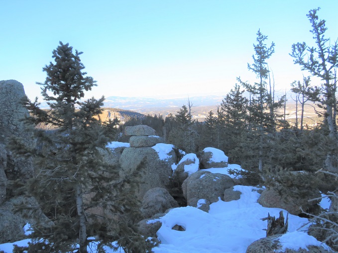
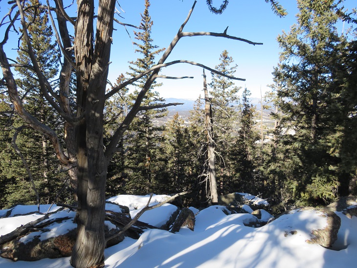
There wasn’t much of a view
I walked all around, looking for the highest rock, and placed a summit register there

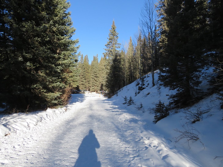
And then followed my tracks back down to the dirt road.
Once on the road it was an easy 1.75 mile walk back to my truck and the trailhead
Along the way I saw a couple snowshoeing with their two dogs, who seemed to be quite enjoying the cold. It was now 16 degrees outside, which was a vast improvement on the 0 degrees from earlier this morning. I made it back to my truck at 11am, making this an 8.32 mile hike with 2186’ of elevation gain in 4 hours, 15 minutes.
Since I hadn’t made my 10 mile/4000’ goal for the day I went back home and hopped on the treadmill for a bit before resuming my day.