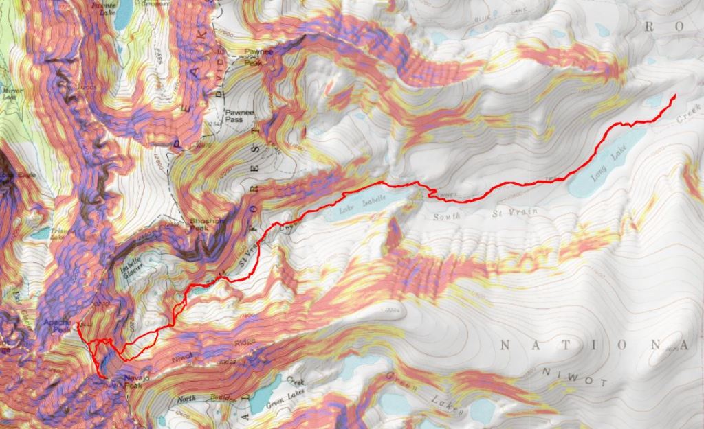
RT Length: 13.66 miles
Elevation Gain: 4127’
I’m not a fan of the timed permit system, and once again, I was reminded why (feel free to scroll down to avoid the drama/whining, just be sure you have ALL the correct passes you need when you purchase online).
The night before this hike I was able to secure a dropped permit. I was looking up available permits on my phone, saw one for tomorrow, and snatched it up. It was an overnight parking permit that started the day of the hike. Usually I start hikes around 3-4am, and this permit started later, but at least I’d get into the park. Since it was an overnight permit it would give me a long time to hike, and I figured I’d just end my hike later than normal. With any luck, no one would be at the gate that early and I’d sail on by.
No such luck. The attendant checked my paperwork and told me I had to wait until 8am to check in. So, at 8am I was back at the gate, checking in. The attendant looked at my overnight pass and asked me where I was spending the night? I said I was just day hiking, but it was the only parking permit I could get. She got upset with me, and told me I ‘stole’ this permit from someone else who already had an overnight camping permit, and I needed an overnight camping permit to use this pass.
Wait, you need 2 separate permits to be here? “Yes”, she replied, “sometimes 3, and you made it difficult for someone else to stay that already has one of the other two permits, which they needed to order moths ago.”
I refrained from letting her know I’d picked up a permit at the last minute, so I hadn’t ‘stolen’ it, and how crazy it was to need multiple permits to hike in one area, and asked her what my options were? She was ready for this question, as she gets it All. THE. TIME. In fact, she already had permits printed and marked up for this exact purpose. The website verbiage creates a lot of inconsistencies, so most people she talked to had the ‘wrong’ permit when they arrived at the Brainard Lakes entrance. The website also gives out passes with similar names to other parks (such as Maroon Bells), but the permit names mean different things to different parks. She gave me a day permit and told me I needed to be out by 5pm. This wasn’t ideal, but I was getting in, so I took it, thanked her, and was on my way.
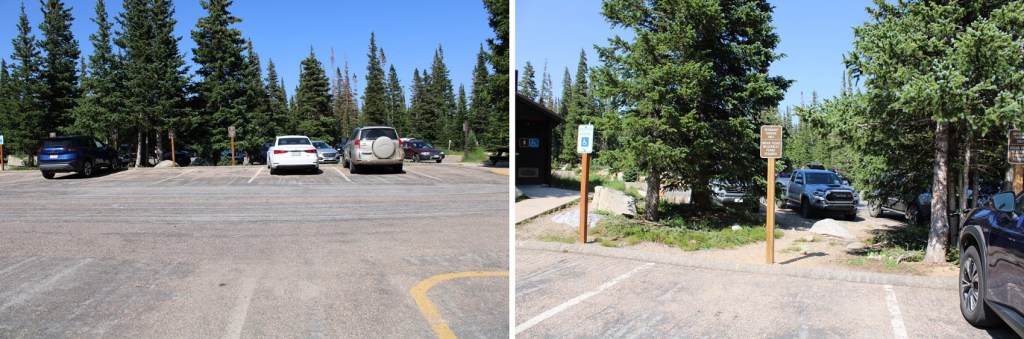
Once they let me in, I had to park in the specific lot they gave me a pass for. I parked in the Long Lake parking area. The parking spaces were further labeled according to pass (overnight versus day), and there were rangers stationed at the trailheads, checking permits on vehicles. This means no parking at the Brainard Lake area if you have a Long Lake Trailhead permit. Plan on hiking (not driving) if you want to see other areas of the park.
Ok. Rant over. The weather was scheduled to be perfect today, and I was ready to hike!
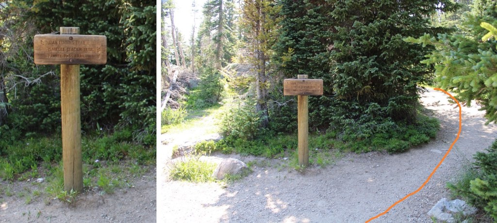
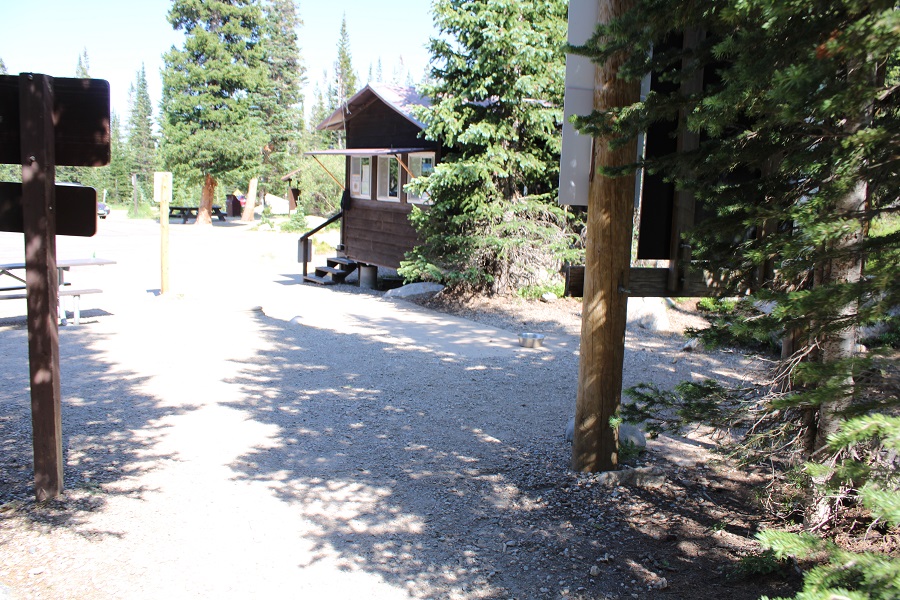
I was on the trail at 8:15am. The trail starts at the west end of the parking area.
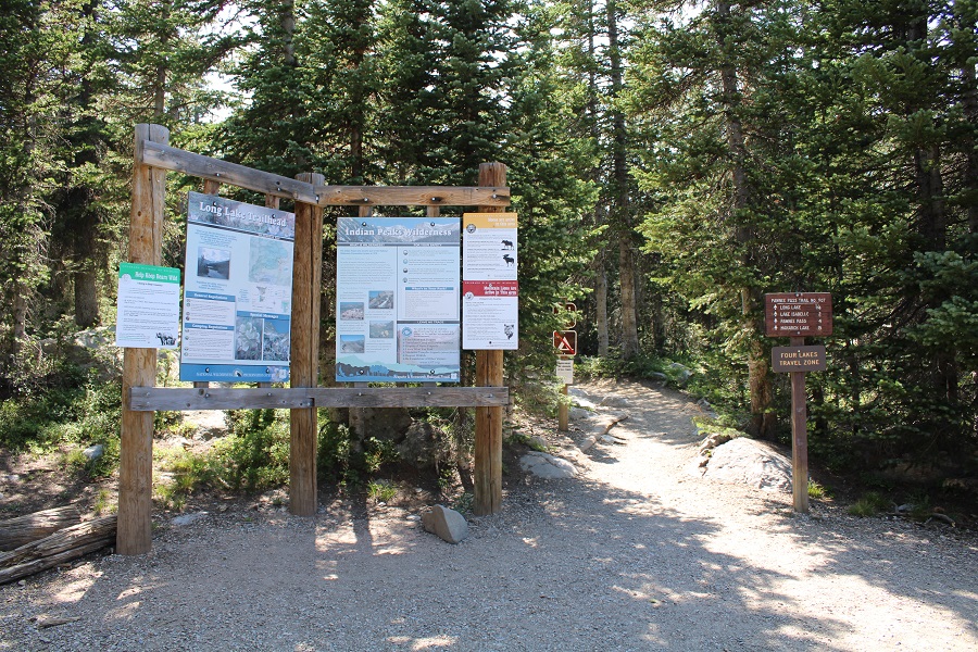
This is a well-marked, class 1 trail
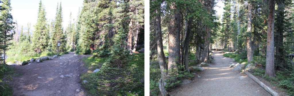
After about a quarter mile of hiking I came to a junction and followed it to the right, following the Pawnee Pass Trail
At the next junction I once again went right
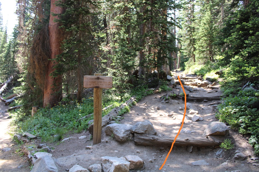
And continued following the class 1 trail
At the third junction I went left, following the Isabelle Glacier Trail

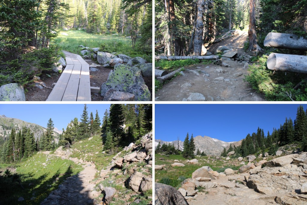
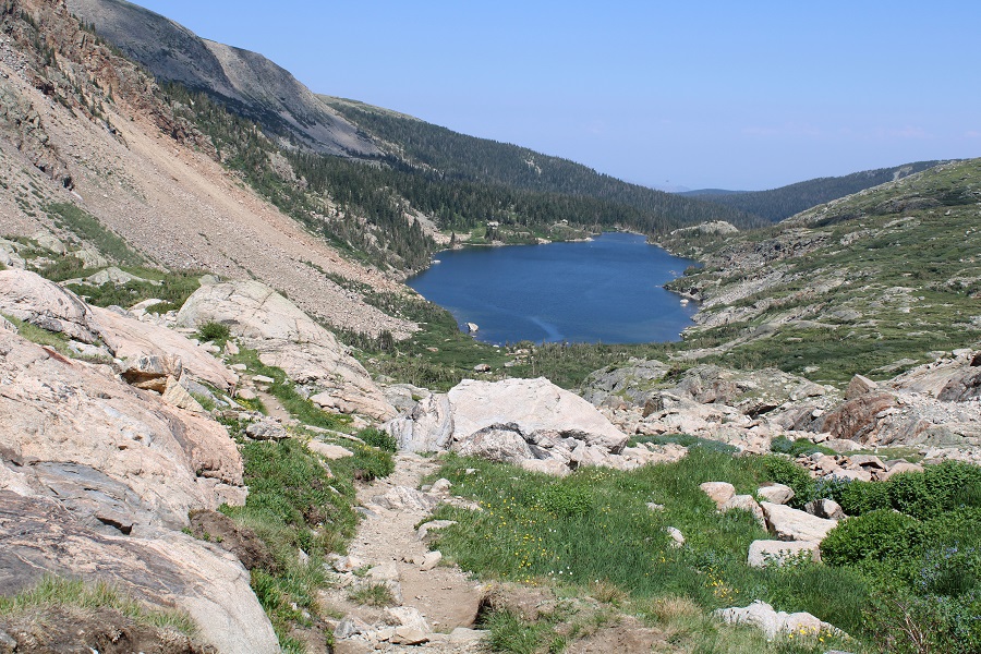
This part of the trail had me skirting the north side of Lake Isabelle
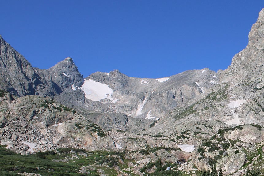
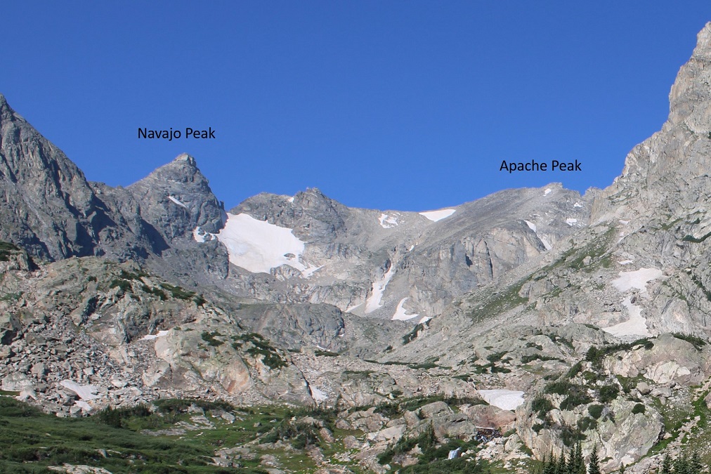
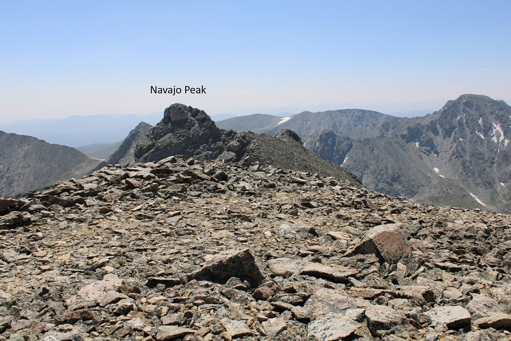
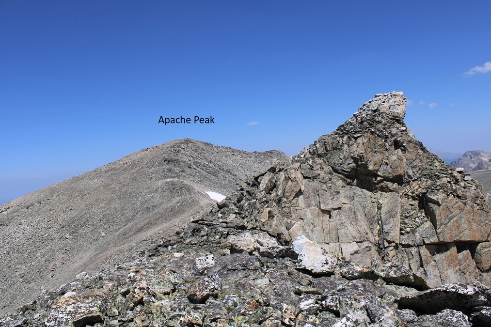
From here you have a good view of Navajo and Apache Peaks
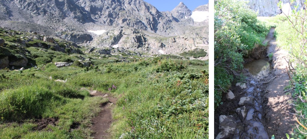
I continued following the trail west
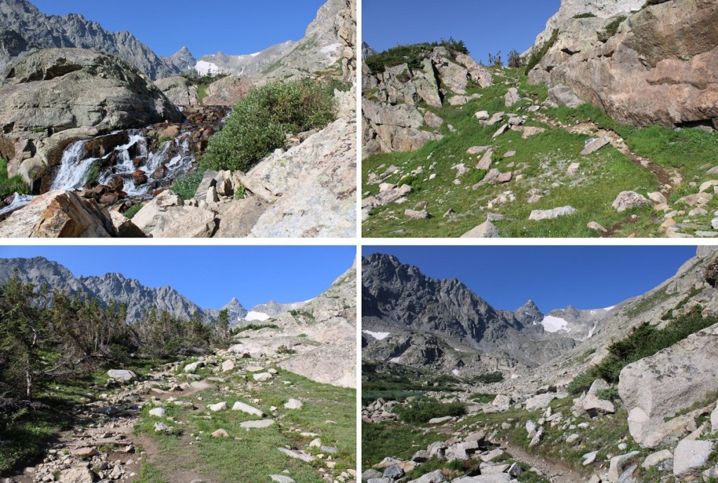
After hiking for 3.5 miles the trail headed south/southwest, through the willows.
The trail here was muddy, and full of bugs. I choked on a gnat.
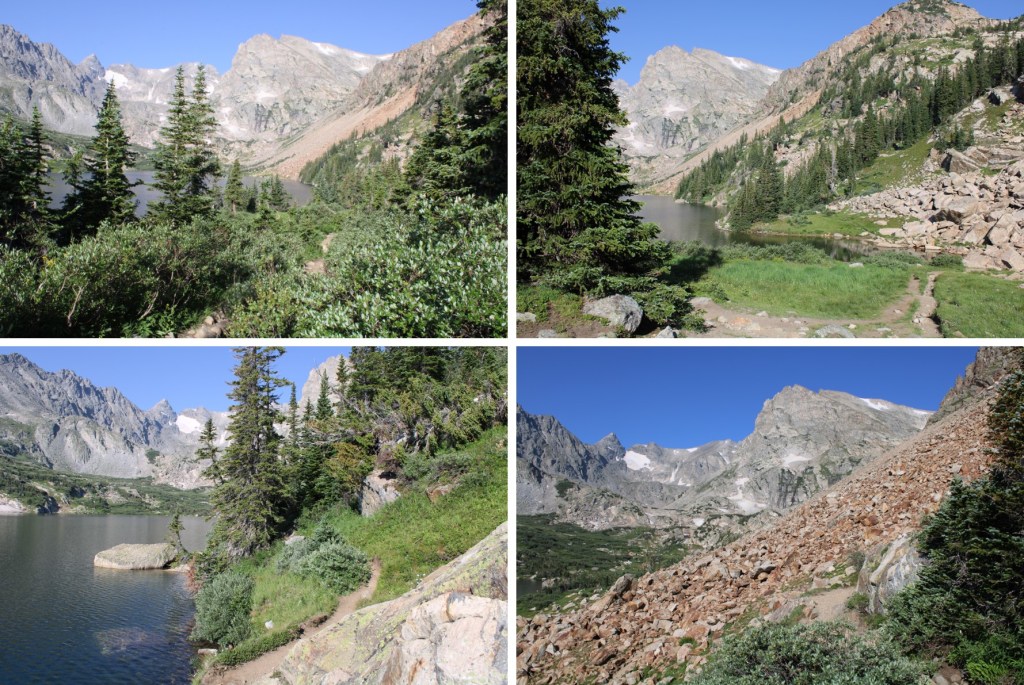
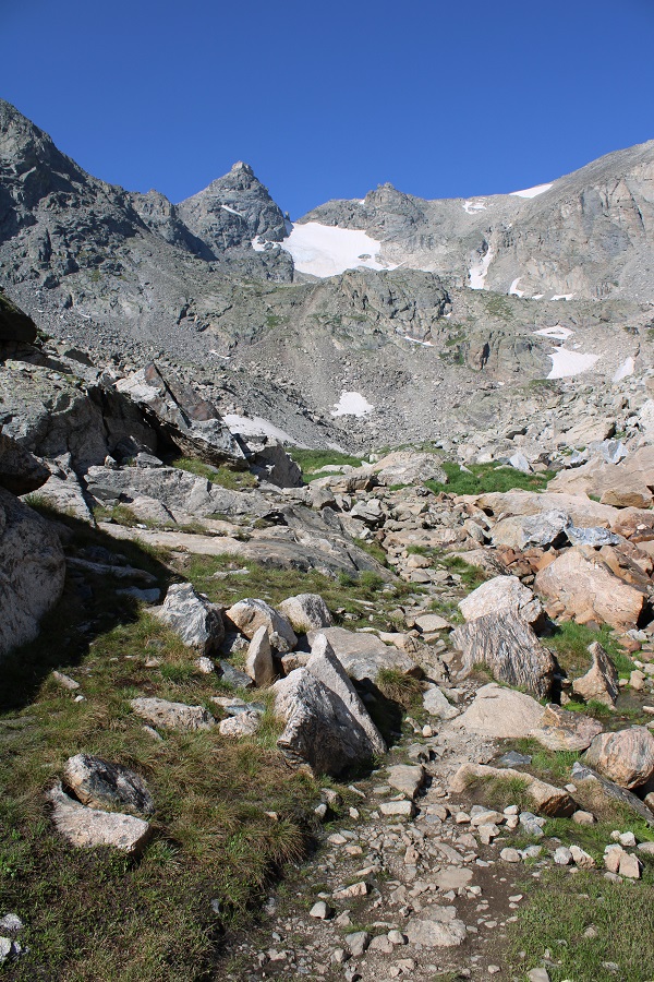
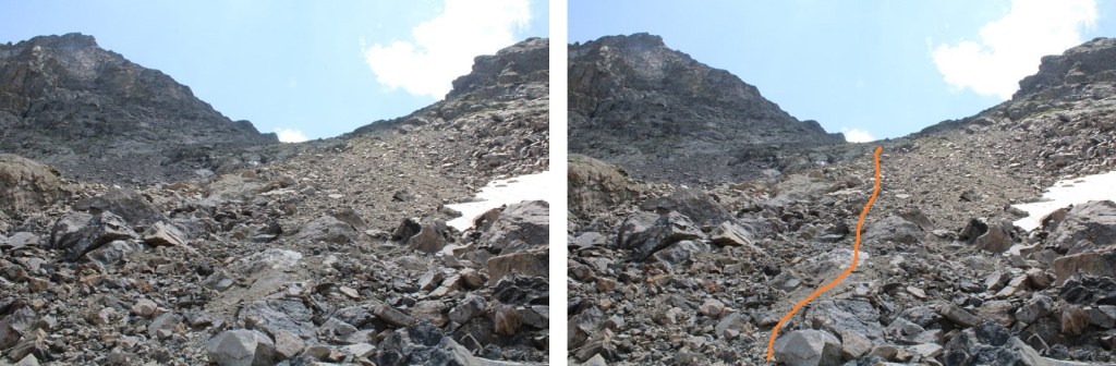
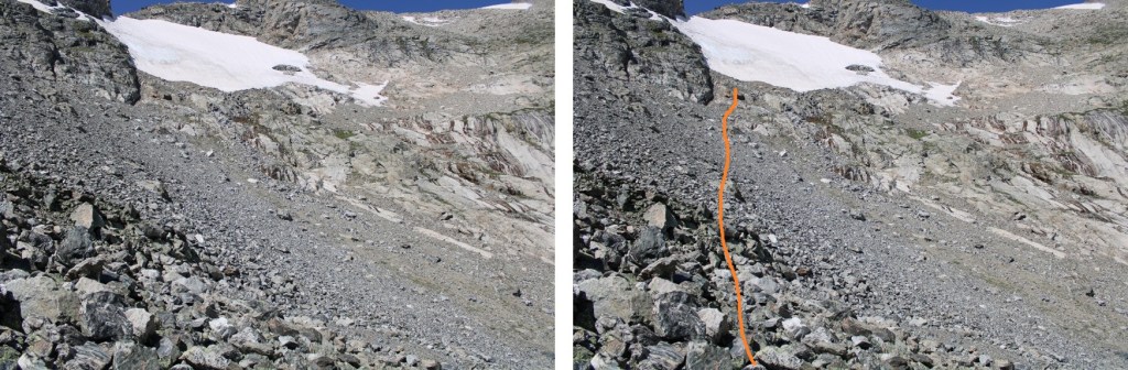
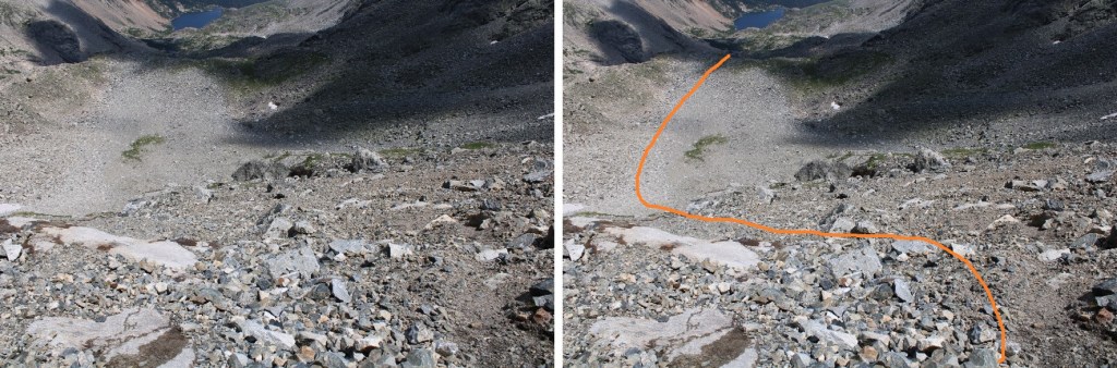
After about 4 miles of hiking, I continued west. Here’s a visual of how I made it to the last little lake (unnamed). The rock crossing would be slippery if wet.

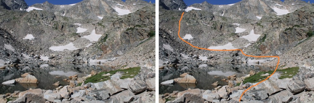
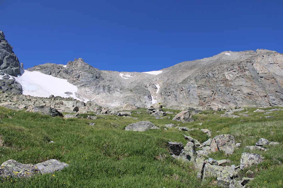
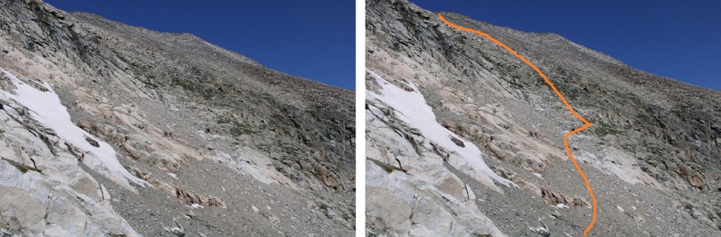
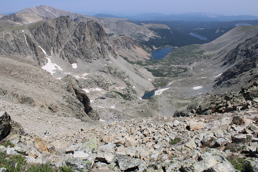
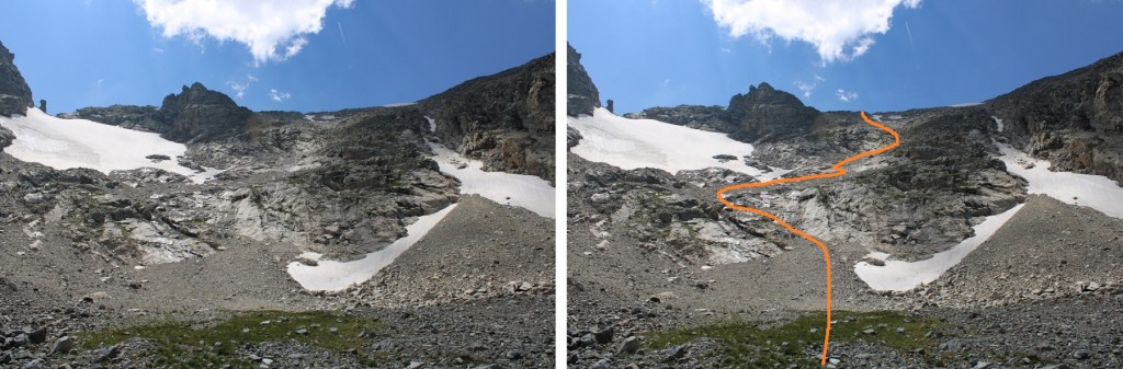
Here’s a visual of the route to the upper basin. I skirted the lake to the right, crossed South St Vrain Creek, and ascended the scree into the upper basin.
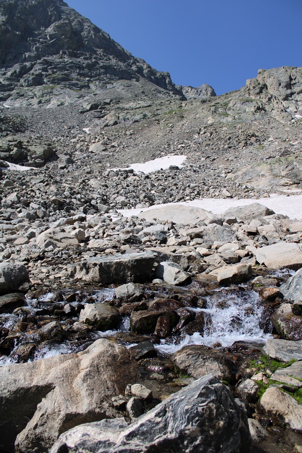
Here are some step by step pictures. The creek was flowing, but I was able to cross without getting my shoes wet.
I then headed south to the ridge
Once I reached the tundra, I followed it west into the basin
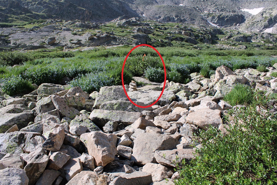
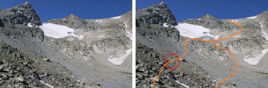
This is where I had a decision to make. I’d initially wanted to hike both Navajo and Apache Peaks today, but since I now had time constraints, I didn’t think I’d have enough time to do both. I’d wanted to start with Navajo and see the plane wreckage, then head over to Apache. But I ‘needed’ Apache before Navajo (Apache is taller, and a tricentennial, so higher on my list of peaks I want to climb). I decided to head over to the plane wreckage, then skirt the mountainside above the waterfalls and ascend Apache’s east ridge. On the way down, I took a more direct route. Here’s a visual of the loop. The plane wreckage is circled in red.
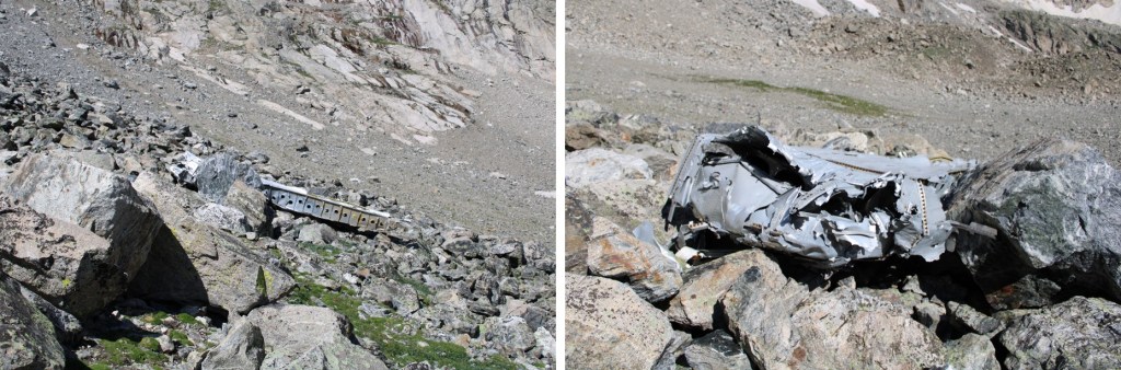
I headed south to the plane wreckage.
The C-47 went down on January 21, 1948. It was en route from Denver to Grand Junction, and crashed during bad weather. Most of the wreckage is up high on the Niwot Ridge (nicknamed “airplane gully”), but some of it can be seen in the basin as well. This site is considered a historical aviation archeology site, so the wreckage cannot be removed.
From the plane wreckage at around 12,200’ I headed southwest, aiming for the base of the snow
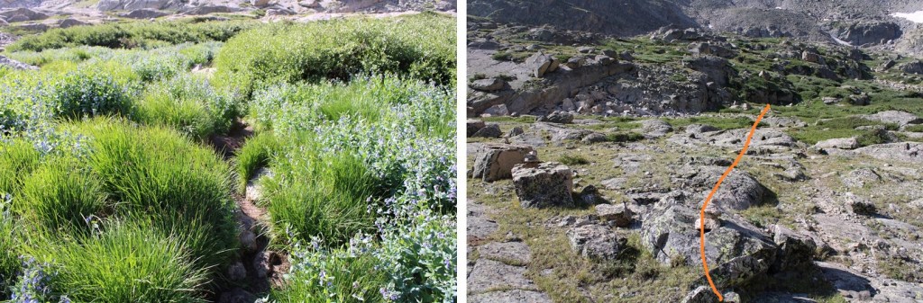
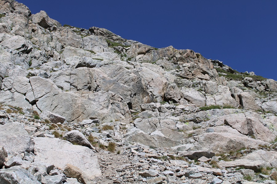
Once there I turned right and headed northeast on the scree. I was aiming for the green patch of tundra. When I hit that, I planed on turning and heading west to the ridge.
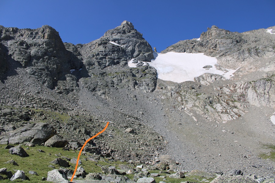
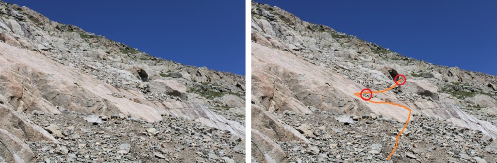
Getting to the tundra proved a little tricky. There was a fun slab to maneuver (there were small cairns here, circled in red)
I then aimed for the greenery, and followed it to the ridge
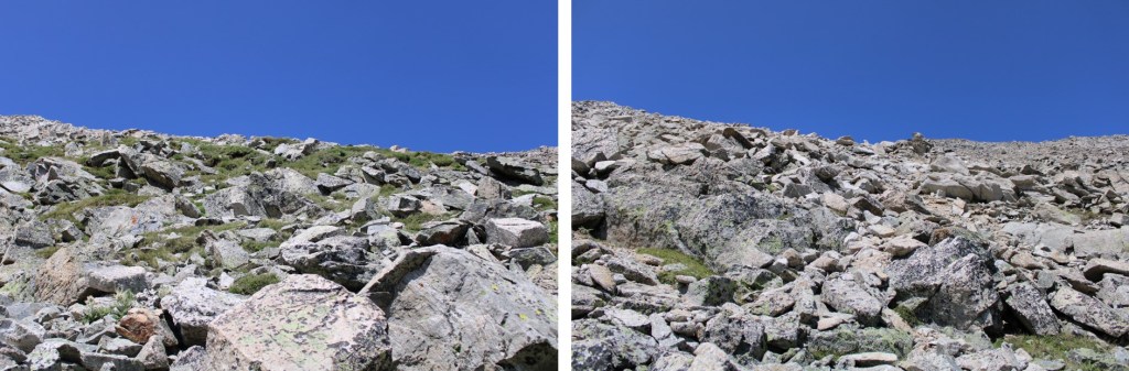
This is choose your own adventure. I followed the larger rocky areas up, and the scree down.
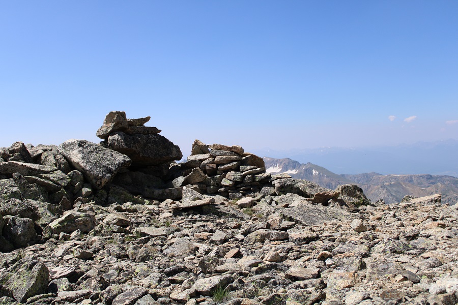
There was a wind shelter at the top of the ridge.
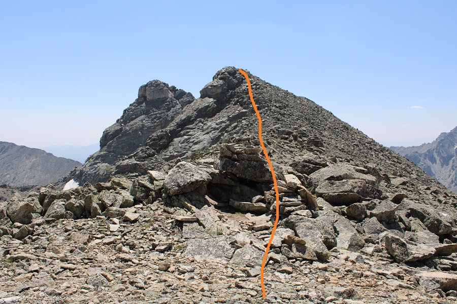
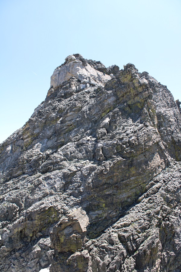
I turned right, and followed the ridge northwest to the summit of Apache. This was a straightforward ridge hike on large shale.
I summited Apache Peak at 11:45am
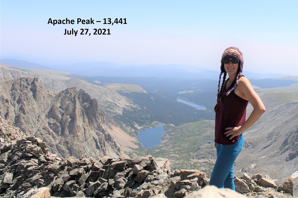
Apache Peak:
I left a summit register, and headed back down to the saddle. I could see Navajo Peak to the southeast
Once back at the saddle I looked at the time. I knew I didn’t have time to hike Navajo today, but I decided to follow the ridge for a bit and see what it (and Dicker’s Peck) looked like from the end of the ridge. So, I continued following the ridge southeast.
I climbed to the top of both highpoints along the ridge, made friends with a crow, and got a good view of Dicker’s Peck. It looks like it has a new anchor at the top.
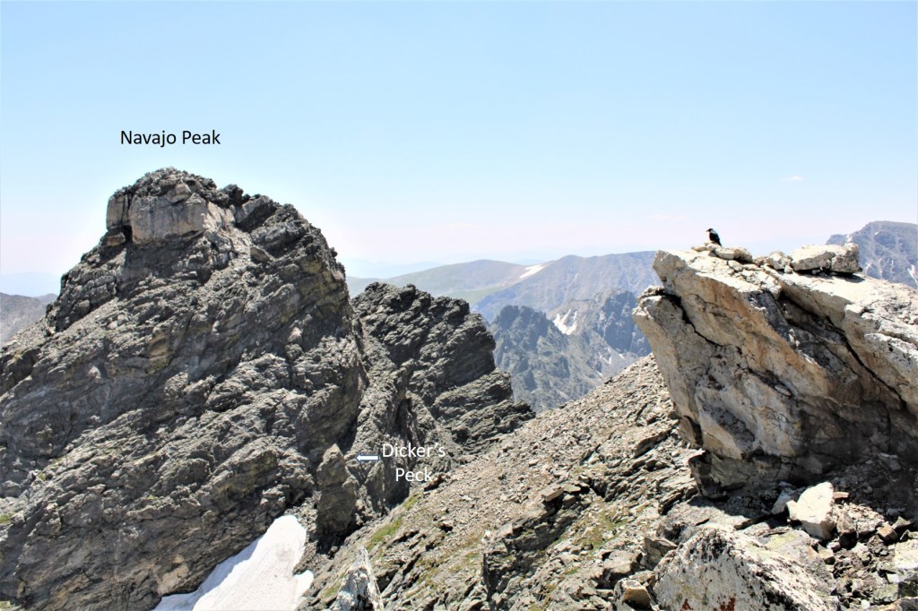
I continued on to the edge of the ridge, got one final view of Navajo and Dicker’s Peck (the route is snow free from the ridge), and turned and headed back to the wind shelter.
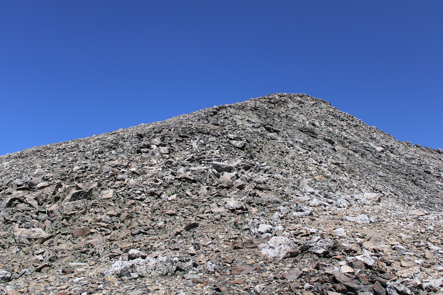
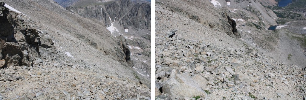
I took a more direct route down this time, following the scree
I made it back to the rock slab, and navigated down.

I then followed the scree down the basin
Here’s looking back at my descent route
And some pictures of the route back to Lake Isabelle. It looked like a trail crew was putting in a new trail on the north side of the creek here.

A look at Lake Isabelle. The trail out goes to the left of the lake
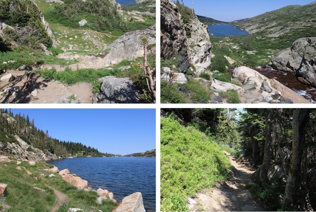
From Lake Isabelle it was an easy, class 1 walk out

I made it back to the Long Lake parking area, where park employees were stationed, ready to check passes.
I hopped into my truck and turned on the air conditioner. It was 4pm, making this a 13.66 mile hike with 4127’ of elevation gain in 8 hours. I’ll be back, but I think I’ll wait until the timed entry system expires for the year…

You are amazing, an inspiration. I’m going to start making my way though some of these hikes. Thank you for sharing your journeys.
LikeLike