RT Length: 41 miles (per CalTopo)
RT Elevation Gain: 9146’
Mileage (per CalTopo track):
- Purgatory to Animas River: 4.62 miles
- Purgatory to Chicago Basin Turnoff: 10.5 miles
- Purgatory to Needleton: 11.5 miles
- Purgatory to Ruby Basin: 20.25 miles
I’ve done this approach several times, but always in the dark. I decided to put together a detailed route description for those looking to head to Ruby Basin, or those interested in what it looks like hiking from Purgatory to the Chicago Basin cutoff. I feel this route has improved over the years, but unfortunately now has more downed trees blocking the trail, making route finding interesting at times.
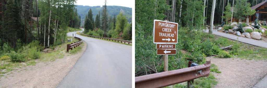
I arrived at 2pm on a Thursday afternoon and the parking area was full. They’re doing a lot of construction/new housing in the area, and there were a ton of visitors to the lake. I actually had to wait about 15 minutes for someone to leave before acquiring a spot. It might have been the time of day, but come prepared (I’ve never had trouble finding a spot before, but I usually arrive in the middle of the night).

The trailhead is clearly marked, and starts at the west end of the parking area
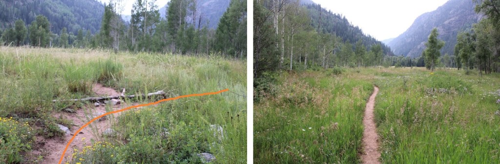
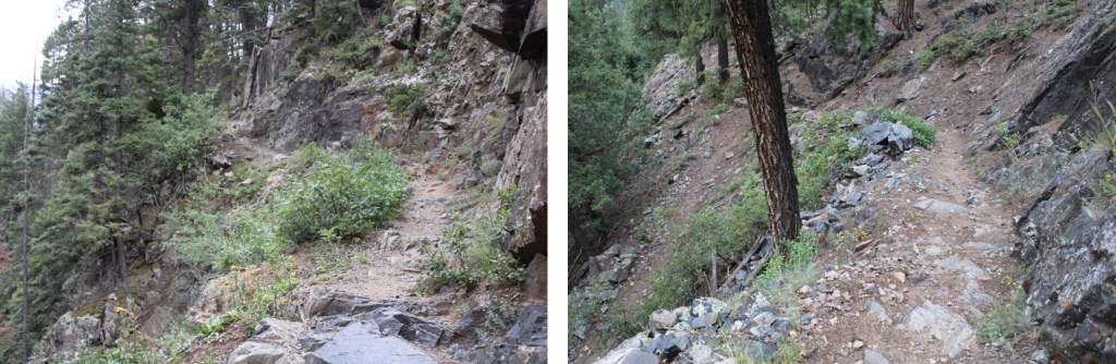
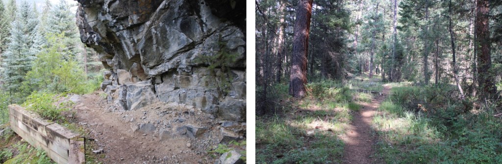
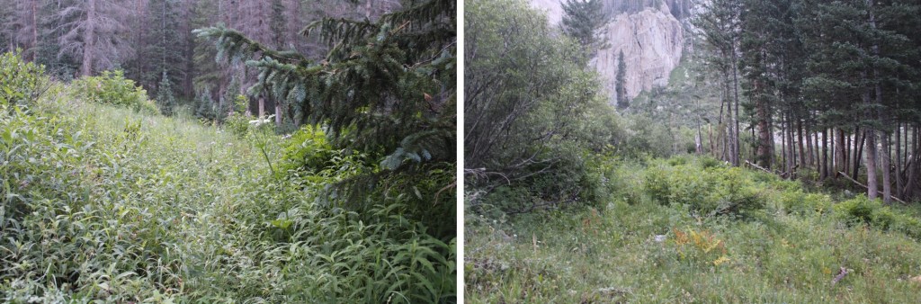
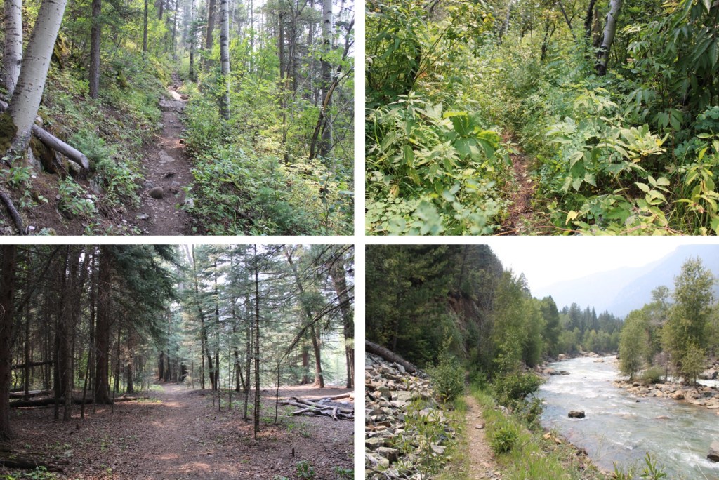
From here, the trail is class 1 as it heads east for 1.3 miles, and then turns right and follows Cascade Creek south to the Animas River. This part of the trail is nice on the way in, as you lose about 1200’ of elevation, but can be frustrating on the way out. I’d recommend hiking this part out in the cooler part of the day (or night). Here are some pictures of the trek down to Cascade Creek


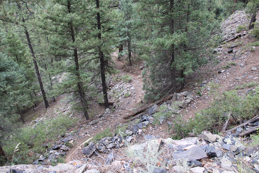
And from the creek to the Animas River. Here the trail will gain and lose elevation multiple times before descending to the river. In the late summer and early fall you’ll find wild blueberries, raspberries, strawberries, and lots of foliage here.
Just before getting to the Animas River the trail descends 400’ to a flat area
Here there are picnic tables and camping spots, and finding the exact trail can be confusing. If you get lost, just head west towards the river
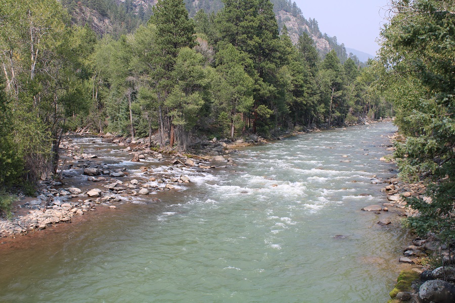
There is a very large and very obvious bridge to cross. This is also a good place to filter water (either on your way in or out). CalTopo told me I hiked 4.62 miles to this point.
As you’re crossing the bridge you can see where Cascade Creek and Animas River meet
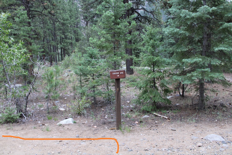
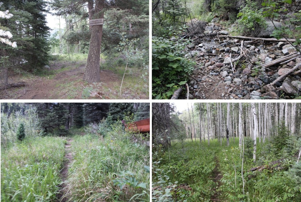
As soon as you cross the bridge, you’ll see this sign. Go LEFT here
And follow the trail to the railroad tracks
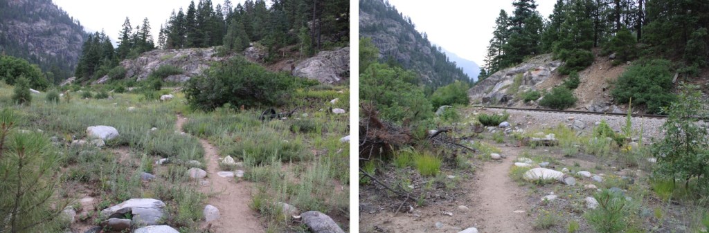
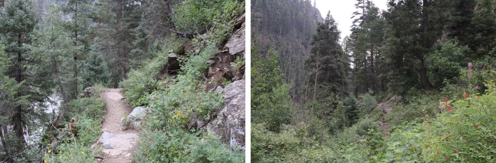
There will be an obvious place to cross the tracks. Funny story: when I was crossing the tracks this time and taking pictures the train blew its whistle from what felt like very close. I’m sure they do that to warn people to get away from the tracks at the crossing (I also heard it on my way back). If you hear the whistle, you have less than a minute to remove yourself from the tracks before the train arrives. Cross the tracks and continue on the class 1 trail as it hugs the Animas River and the Mountainside


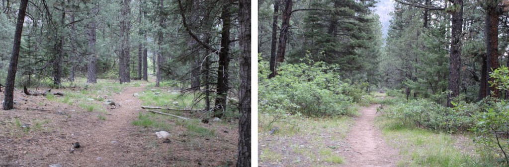
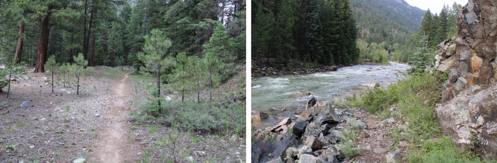
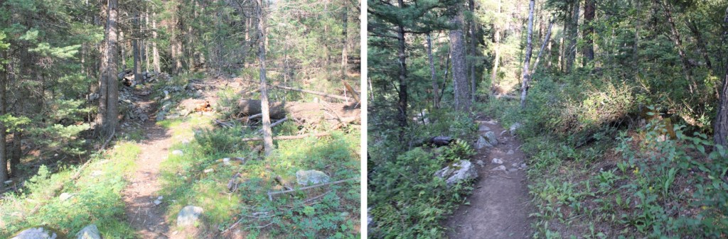
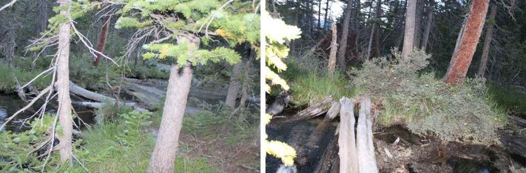
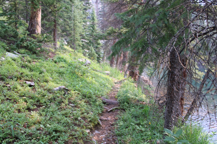
From here the trail stays pretty level as it follows the Animas River. If it’s rained recently, you’ll want rain gear, as the foliage covers the trail in many areas and you’ll get very wet. There are many places to camp along this stretch.
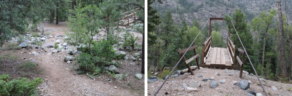
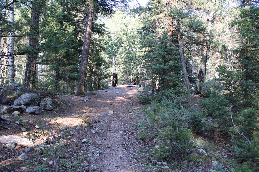
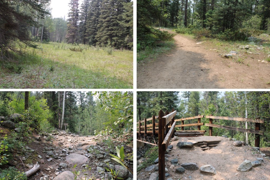
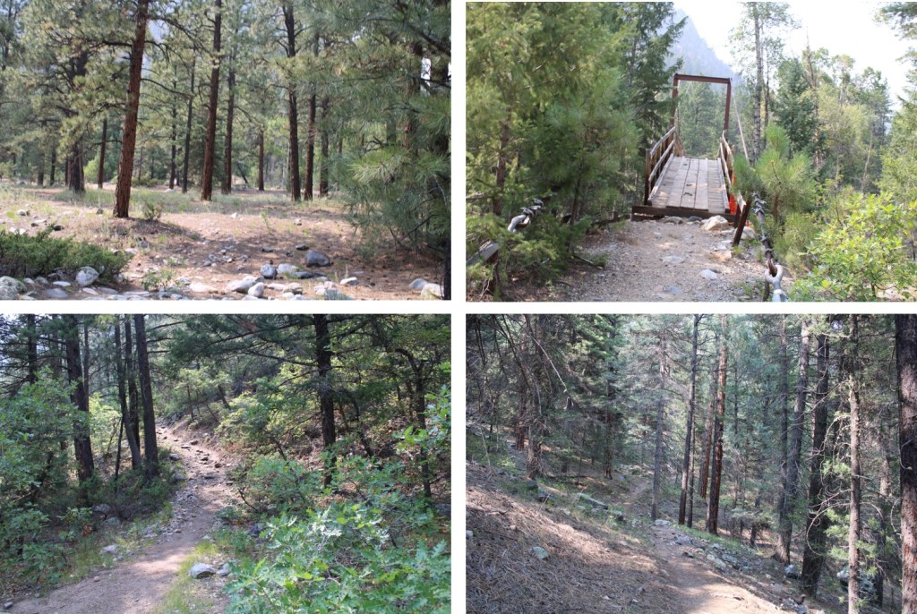
From the Animas River Crossing, it’s just under 6 miles to the cutoff for Chicago Basin (or 10.5 miles total from Purgatory). Here you’ll cross Needle Creek on another sturdy bridge. This is also another good place to filter water.
If you’re headed to Chicago Basin, there are obvious signs that will guide you there.

If you’re headed towards Needleton/Ruby Basin (etc.), continue following the trail north for another mile.
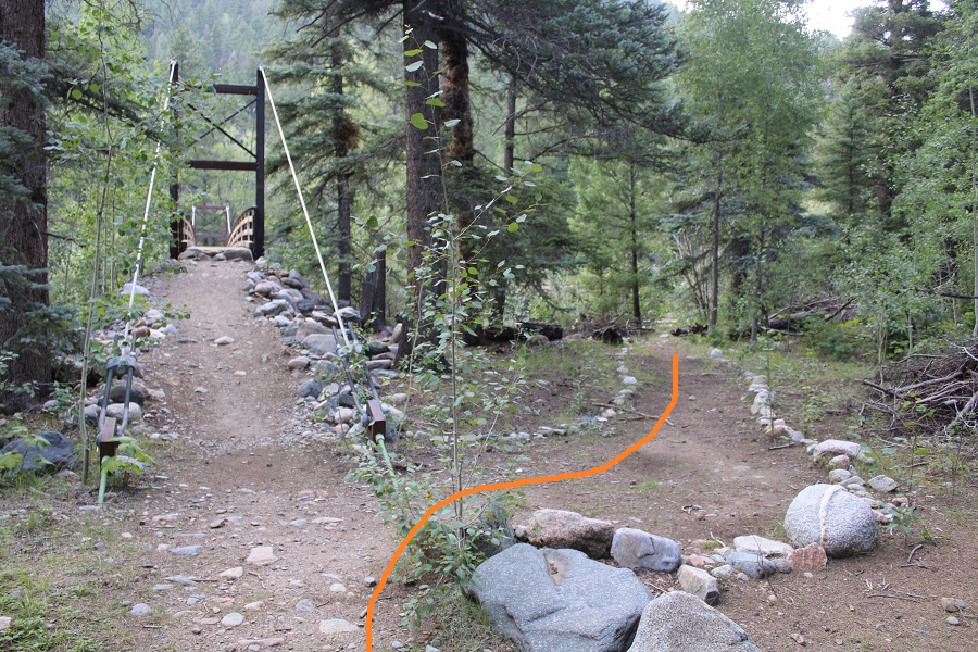
There’s new signage here. Please note, this is a public trail through private property. If you need to filter water, cross the bridge, filter, and then come back.

Here’s where the trail gets fun! Don’t cross the bridge. Instead, follow the trail to the right
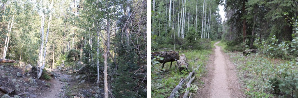
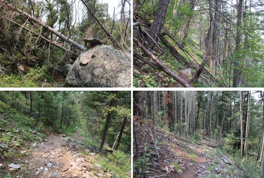
You’ll follow this trail for just under half a mile until you get to an Aspen Grove. This is a good place to spend the night before the elevation gain begins. You’ll have hiked a total of (almost) 12 miles to this point.
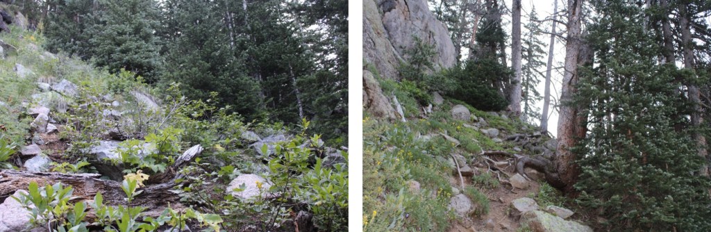
Here you’ll turn right, and follow an obvious trail up the hillside
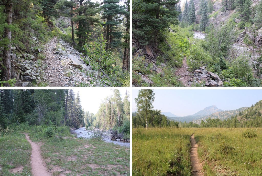
This is where the elevation gain starts and doesn’t quit.

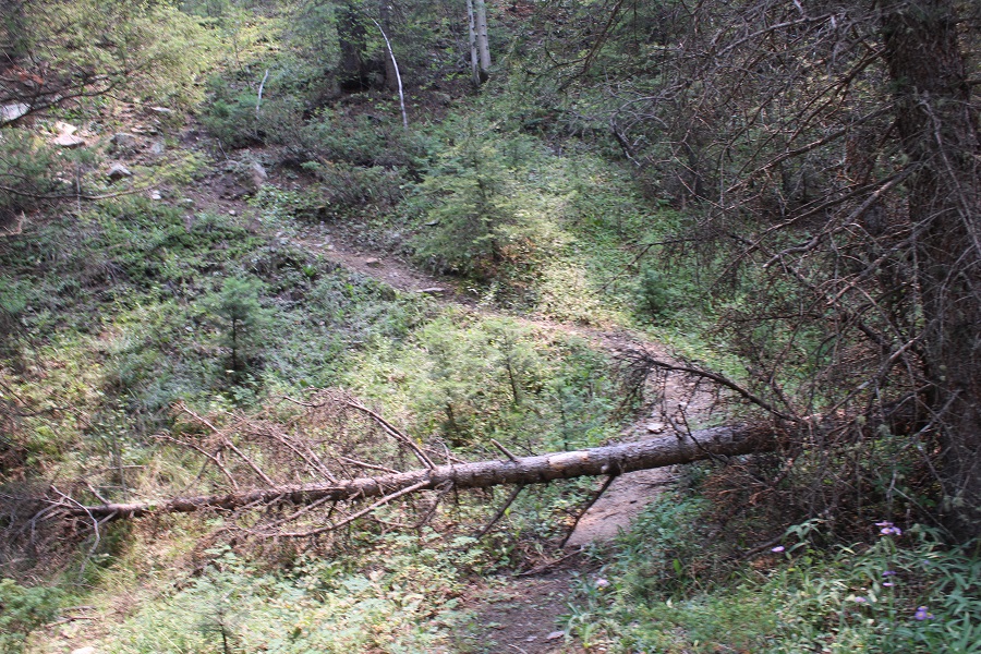
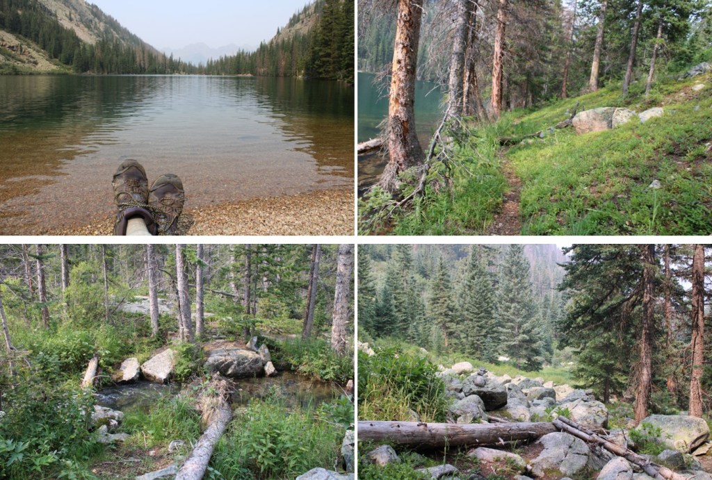
There are a lot of newly downed trees in this area, without an established workaround. Most of the trail is easy to follow, so if there’s a large downed tree in your path (and there will be), just try to be logical about where the trail should go, get around the tree, and you should be able to pick it back up again. This is tons of fun in the dark, and much easier when it’s daylight.
Another fun part: after gaining and gaining and gaining in elevation, at around 10,330’ you’ll LOSE about 200’ of elevation, quite quickly. Pictures looking down don’t do it justice, so here’s LOOKING BACK UP at the elevation you’ll lose

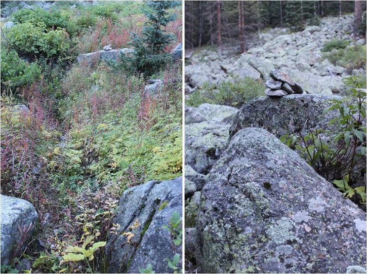
At this point the trail becomes a little more difficult to follow, but there is a trail and cairns. You’re hugging the mountain, following Ruby Creek east. Once again, this part of the trail is overgrown, so if it’s been raining, you’ll want to wear your rain gear to avoid getting soaked from the dew on the plants.

You’ll pass through a rocky area, with raspberry bushes and cairns to guide you
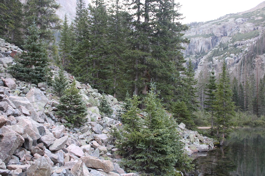
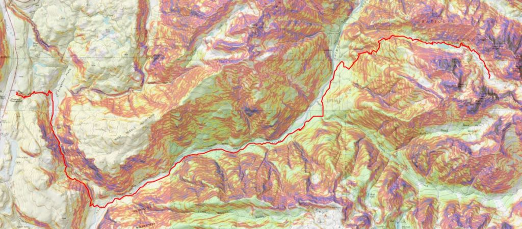
After hiking for 17 miles, and at 10800’ of elevation, you’ll arrive at Ruby Lake. Cross where the stream and lake meet, and skirt the north side of the creek.
There are also a few nice camping spots here, and the ability to filter water

Be sure to stay close to the water’s edge here, as there’s a trail and it’s much nicer on your feet than rock hopping. There are cairns here as well.
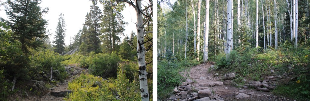
The goal now is to ascend into the upper basin. There is a trail here, but once again, a lot of downed trees and very overgrown with grass, flowers, etc. Keep heading east, staying below the rocks to your left.
At about 10900’ the trail abruptly ascends into the upper basin by aiming north.
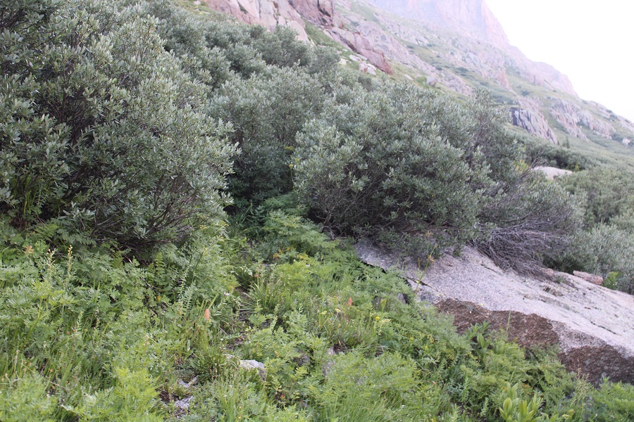
Where you’ll be greeted with: Willows! It is now your job to navigate through these willows to Ruby Basin. I promise you, there are trails here that ‘go’. They’re goat trails and anything above your waist will be gnarly, meaning you should plan on getting whacked in the face with willow branches, but trails are here. It’s important to find the entrance to the trail, and then go with your gut. Obvious cairns are circled in red. You’re aiming for the orange arrow:

Here’s what the entrance to the trail looks like
When you make it to that orange arrow, the rest of the trail into the basin will become obvious

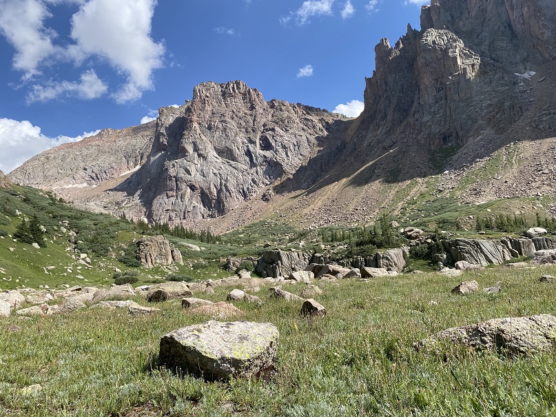
Pick your place to camp. There’s always plenty of water here flowing through the basin. The marmots will chew up anything not hung up, which is difficult in this treeless basin. I’ve seen Mountain Goats and Moose here a few times. This is a great starting place for several 13ers in the area. If you’d like my GPX file for the route send me an email wild.wanderer@aol.com
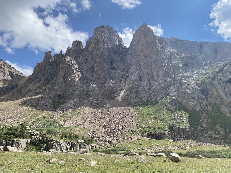
Here’s a view of the Ruby Basin from the east side of the basin, looking west at how you enter the basin.

Here’s the topo route
And just for fun, a compilation of pictures of the route out.


3 thoughts on “Chicago Basin / Ruby Basin Approach from Purgatory Trailhead”